
It was the 4th day of a climbing trip in far southwestern Arizona. I had had mixed results so far: a few successful climbs, a couple of failed attempts, and several on which I had chickened out and didn’t even make a start. It was time for a change of pace, time to take a break and not be a climber for a while.
Spook Canyon – the very name was mysterious. An internet search had revealed nothing about the place. The topographic map hinted at a deep, winding spot cutting through Vopoki Ridge – there was no choice, I simply had to pay a visit. It was late morning by the time I arrived at a well-marked road junction. There was no sign of any kind, just a large cairn – it wouldn’t mean anything to you unless you were armed with good maps and knew what you were looking for.
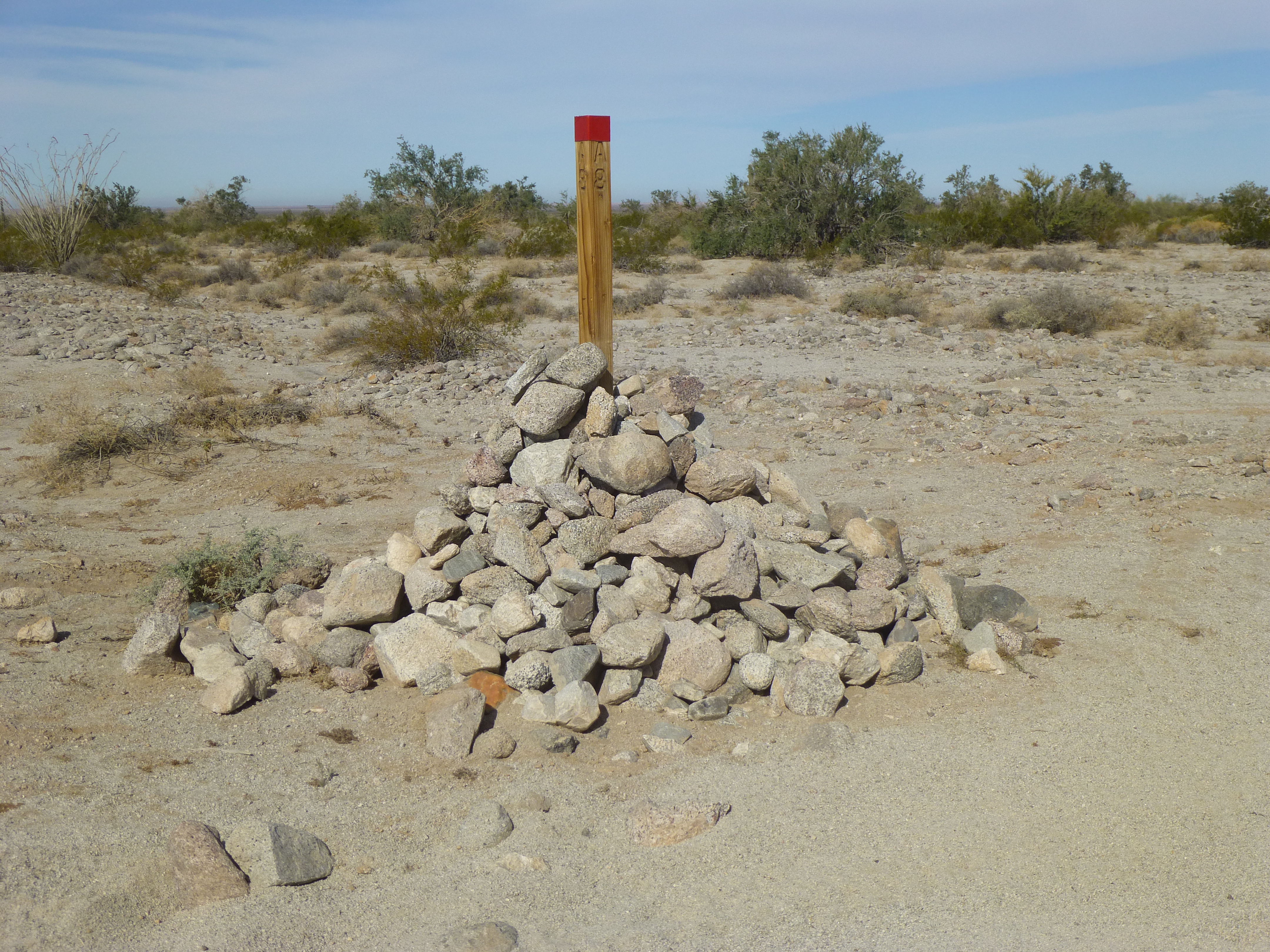
The marker
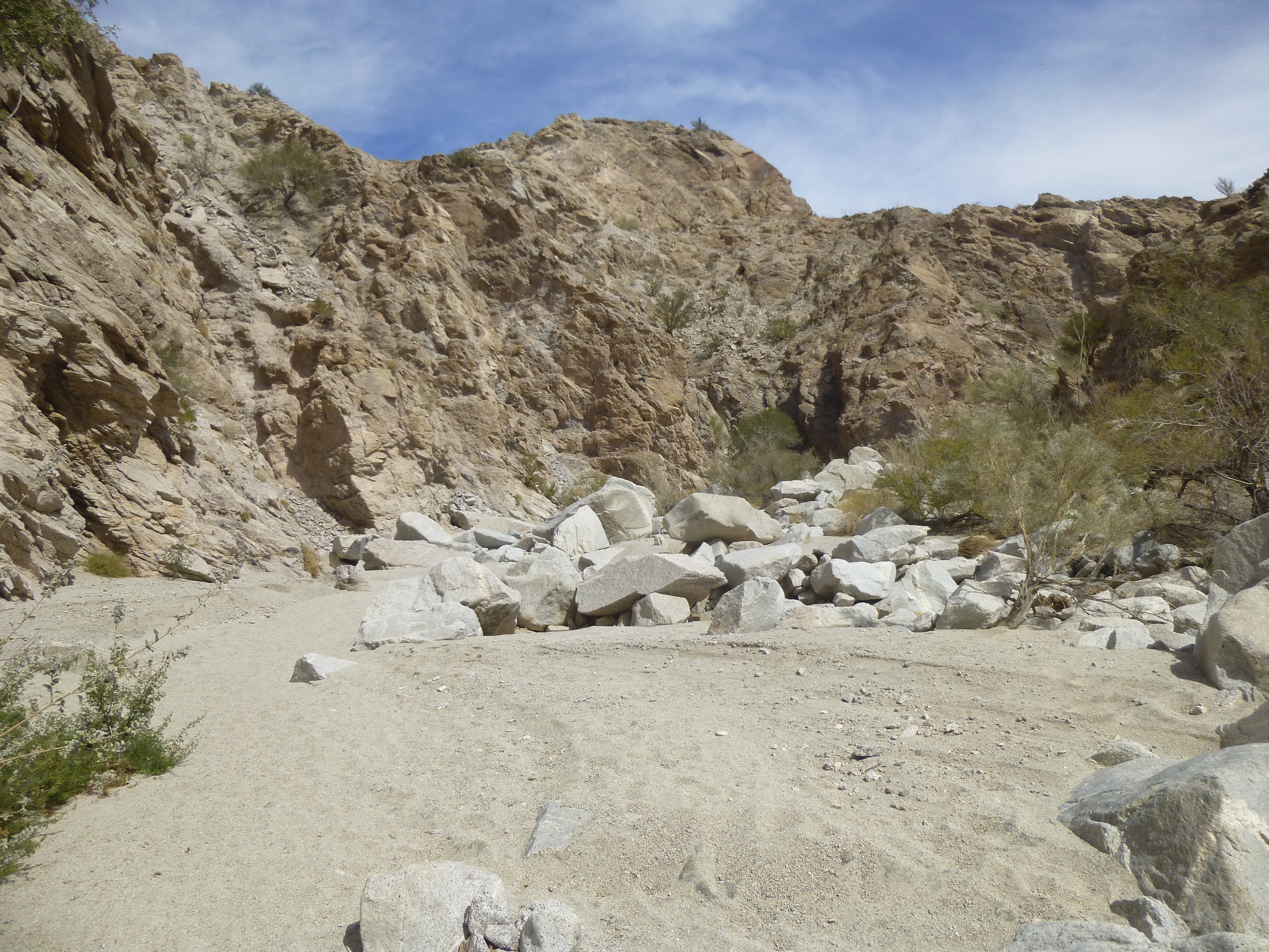
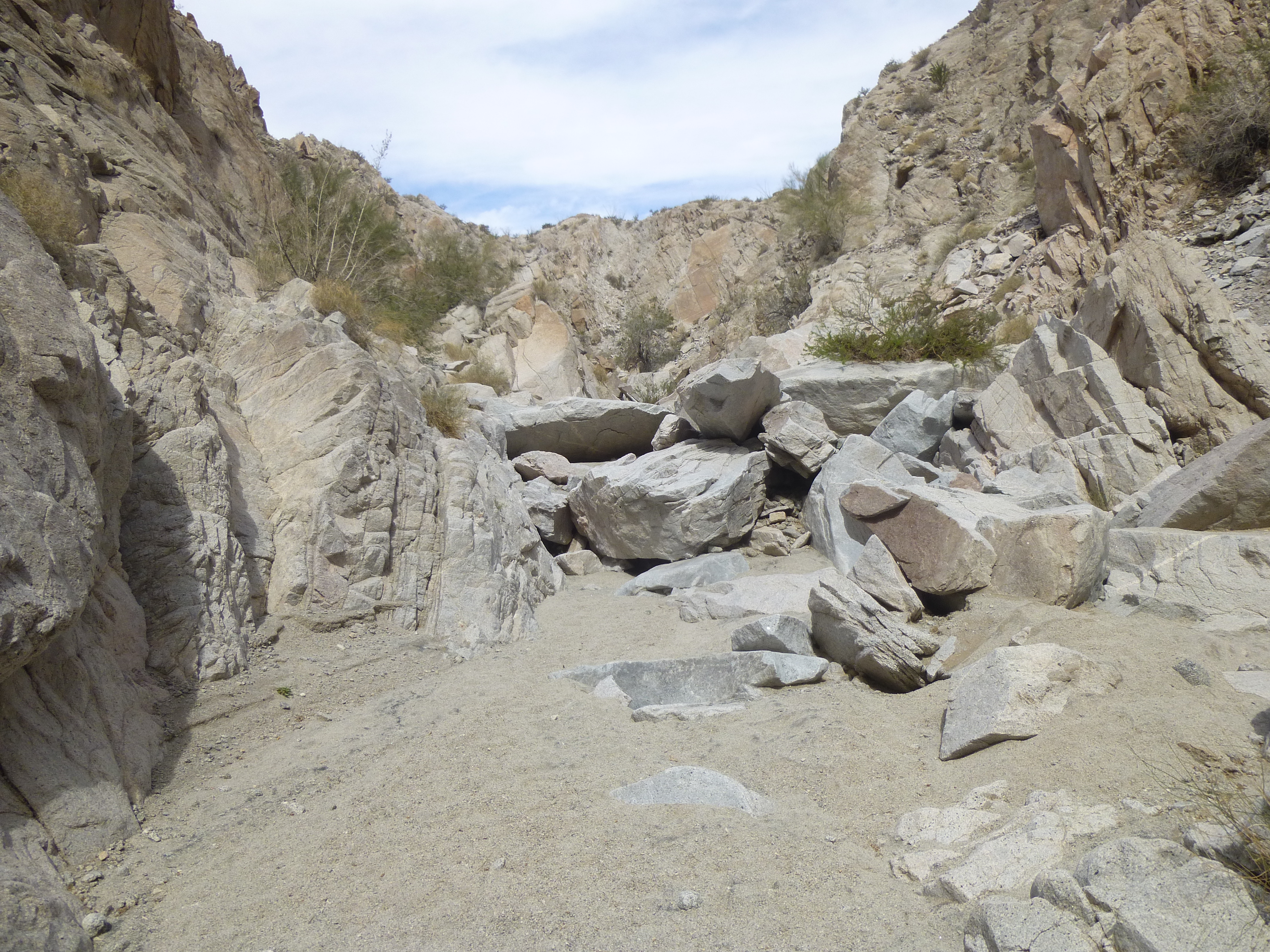
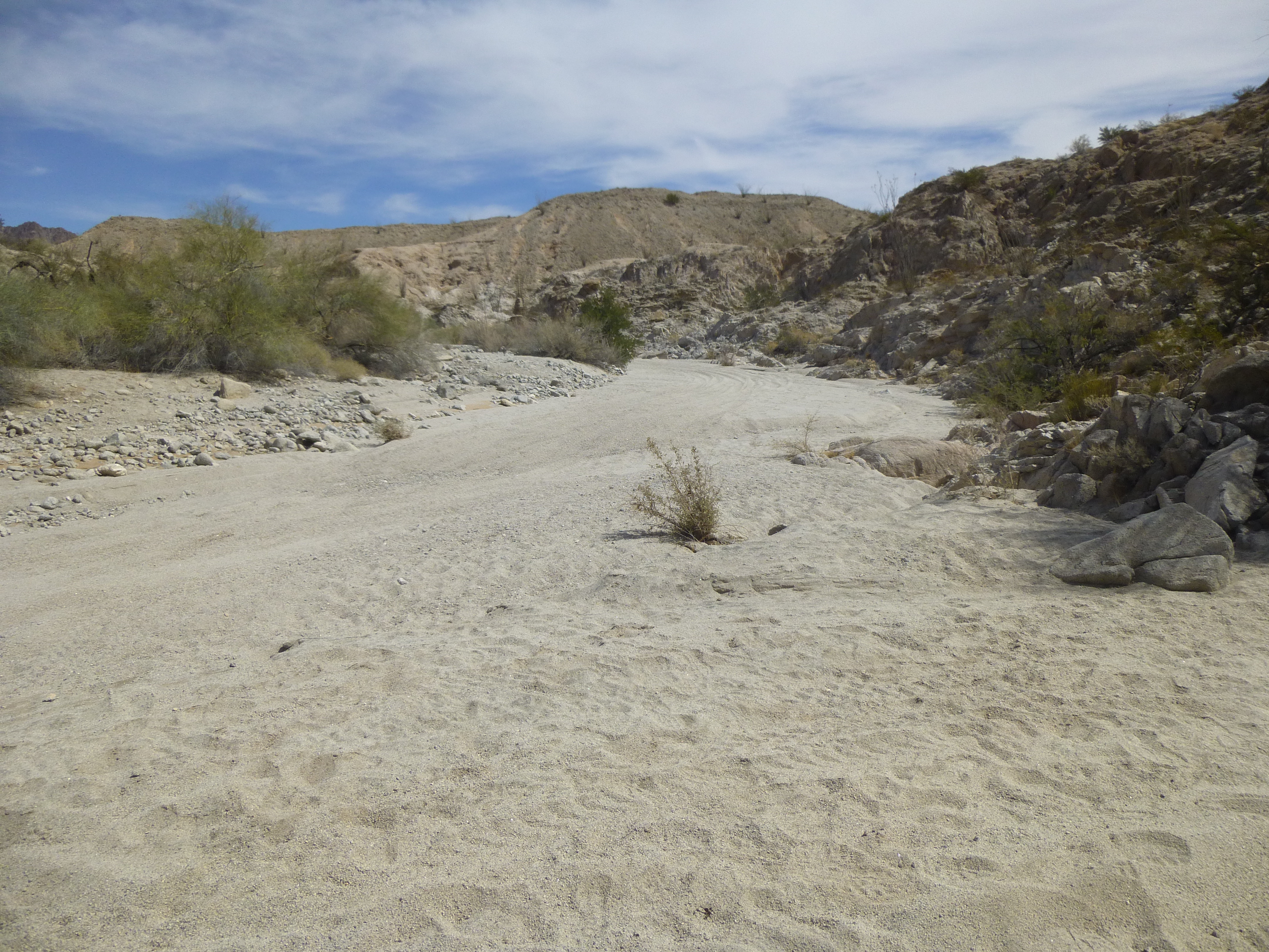
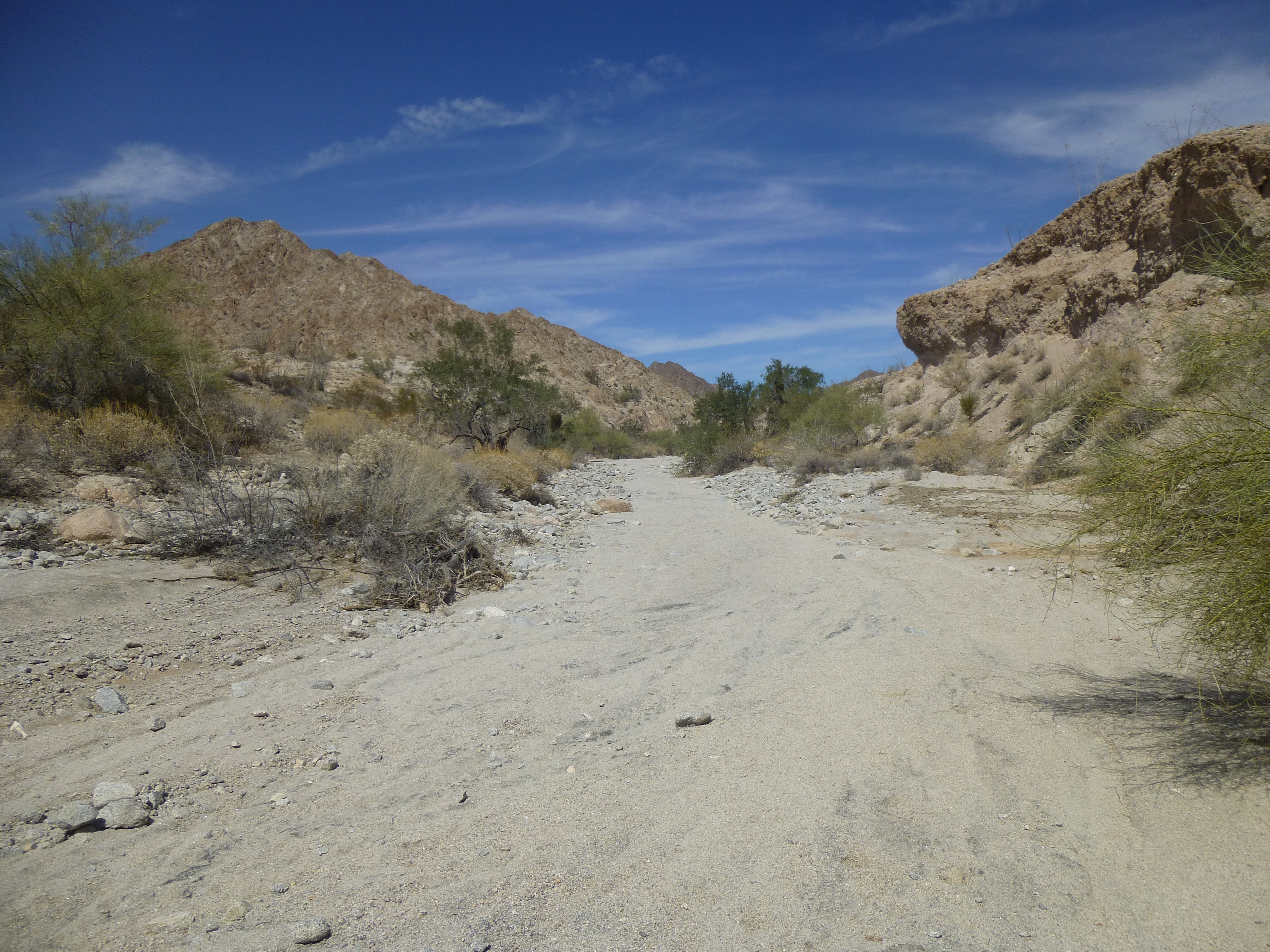
It was all I needed, though – I recognized it for what it was, and I turned east on to a lesser track. It made a beeline for the end of a rocky ridge, then dipped into a sandy wash. Roads do that a lot in the desert, follow a dry watercourse that serve as an actual road, in some cases for many miles at a stretch. By the time I’d driven 1.7 miles, I’d gone as far as I could go. Here’s what I saw. Boulders just ahead blocked all vehicular traffic.
The end of the road.
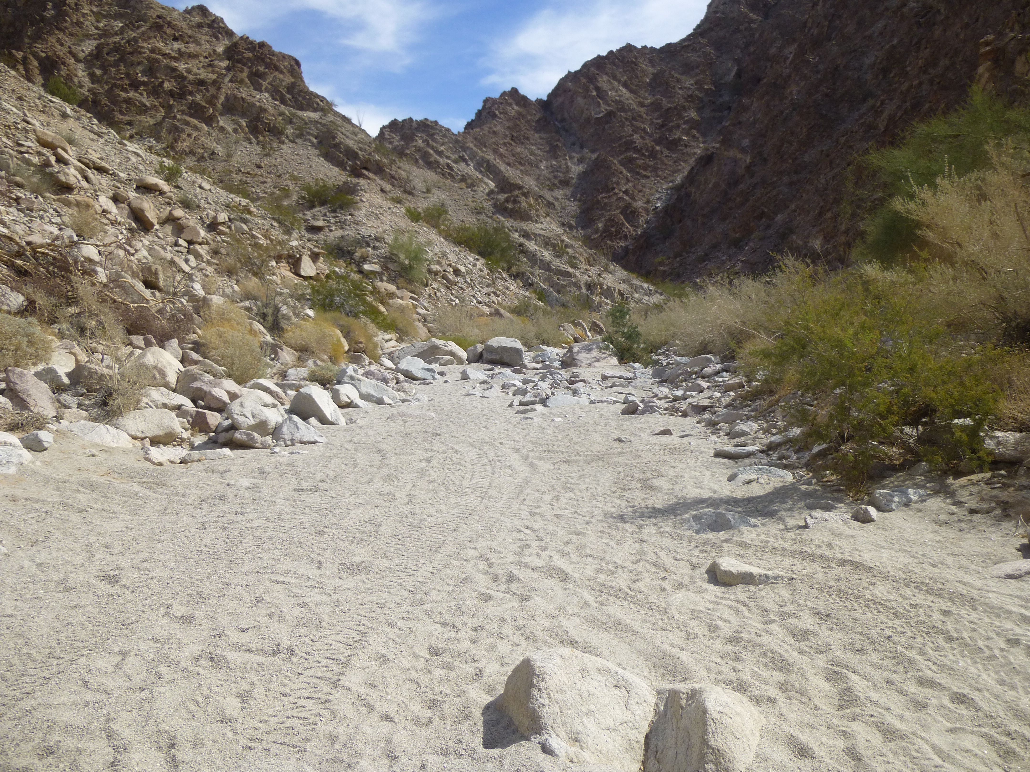
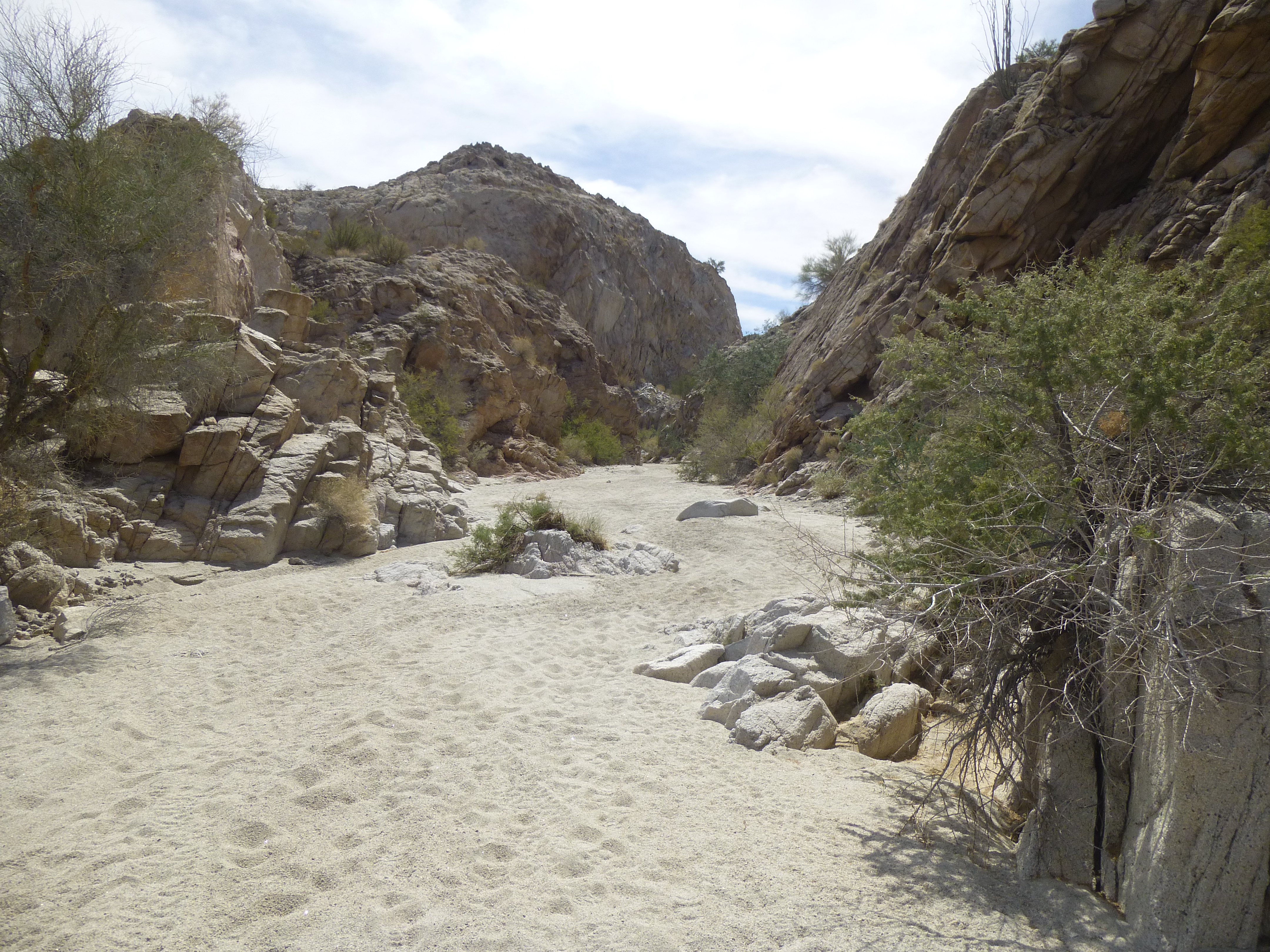
I was excited. I prepared a day pack and set out, camera at the ready. Just past the first boulders, there was a brief stretch of wide sand.
A wider spot.
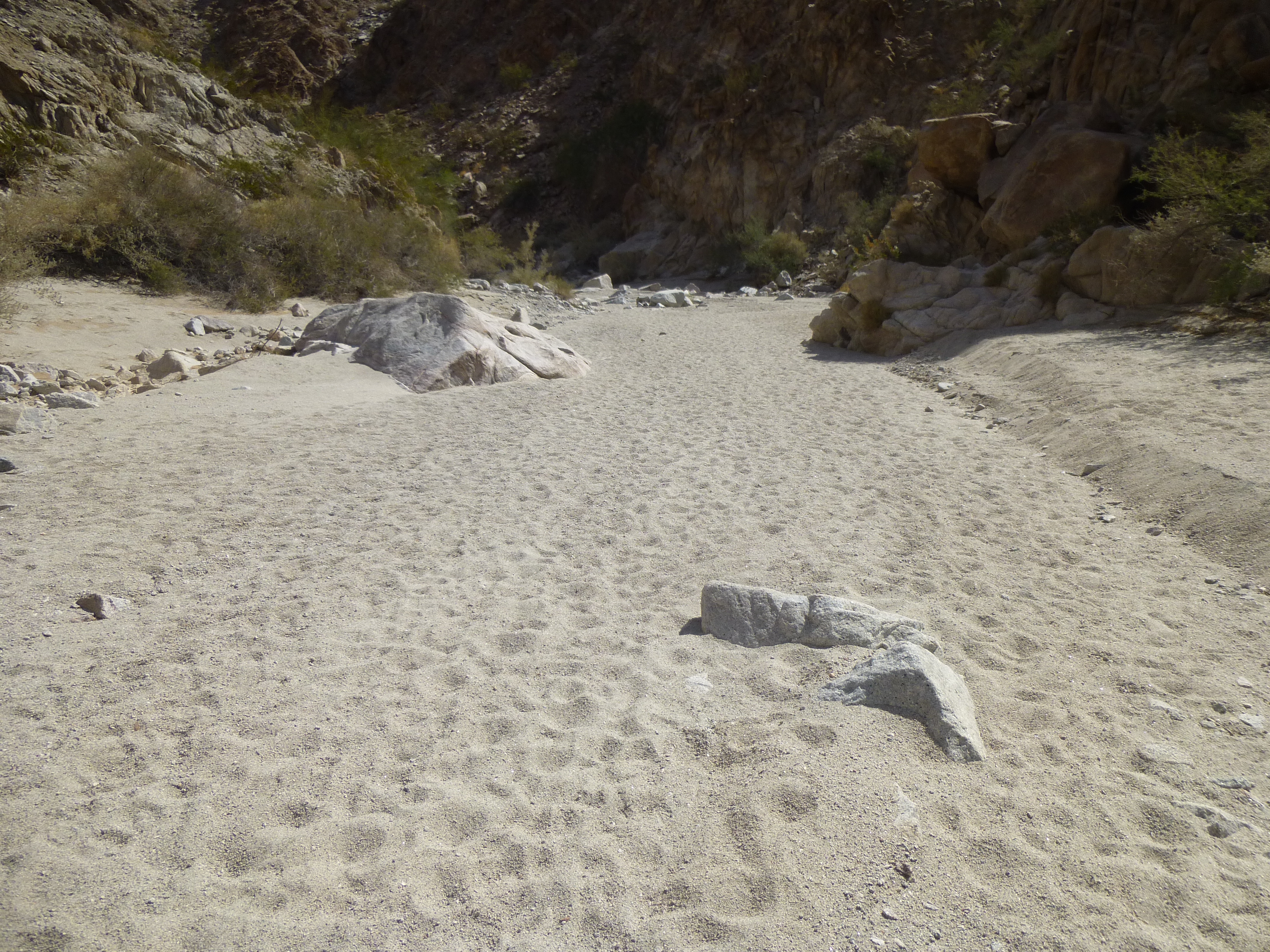
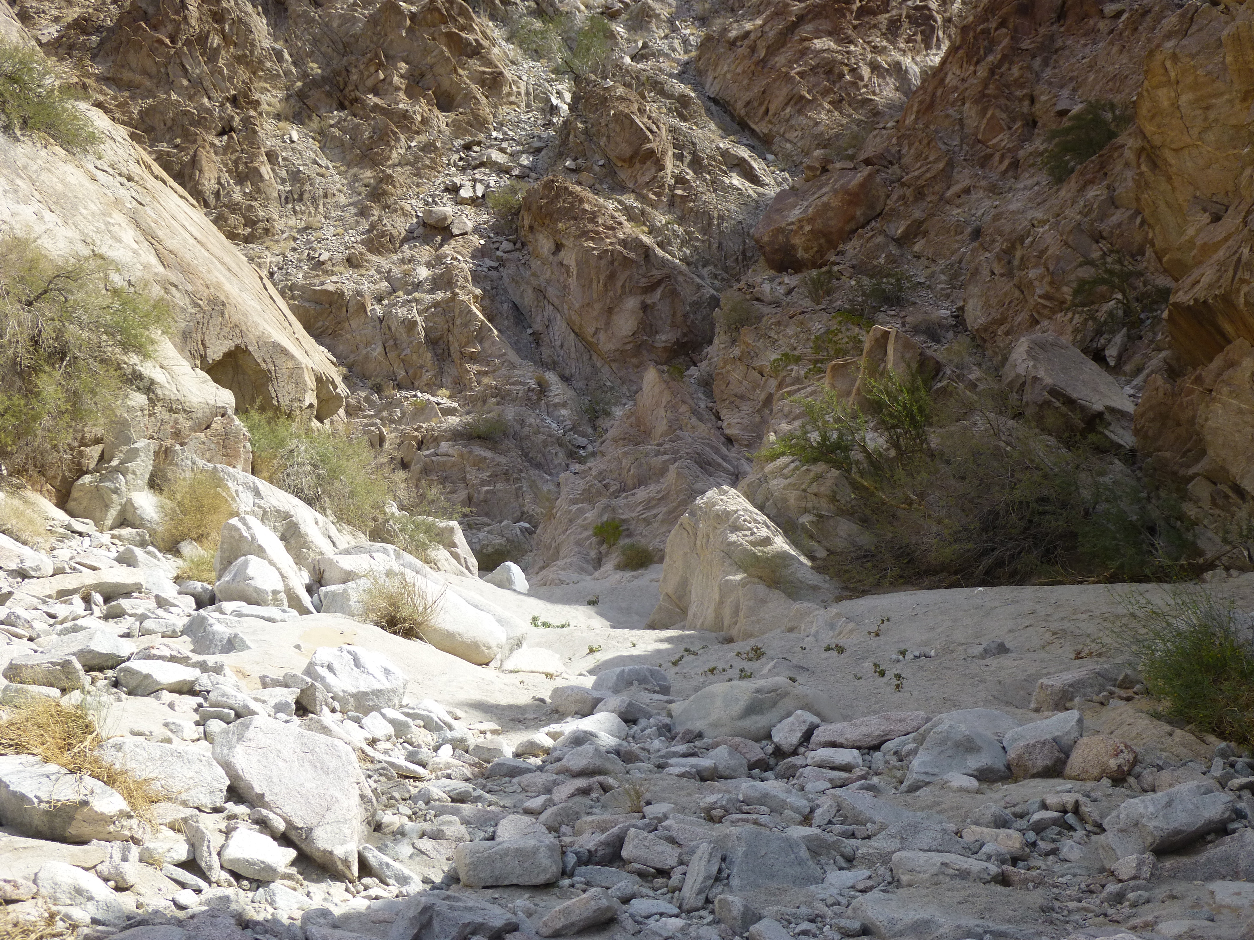
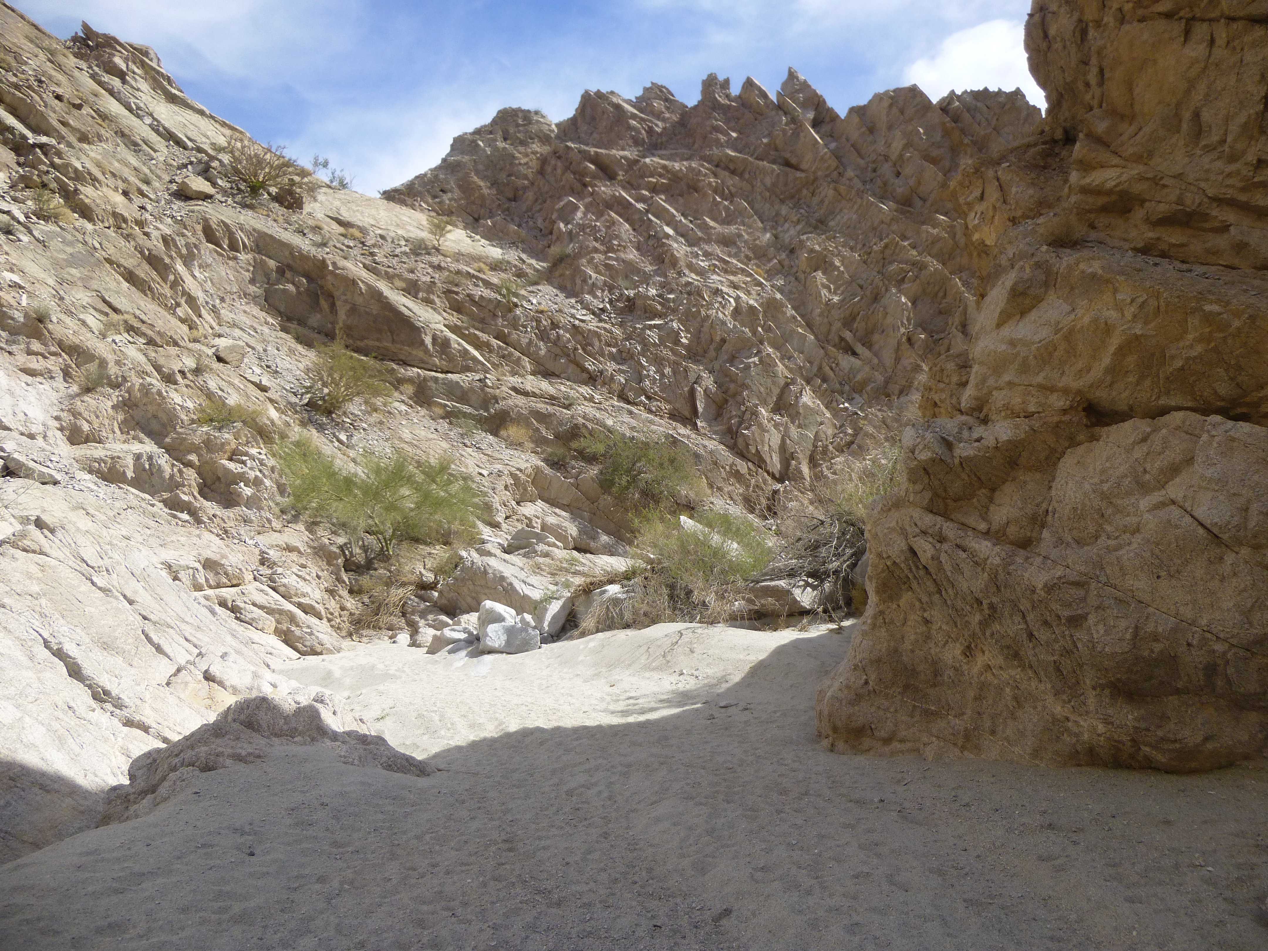
At the end of the sandy stretch, I could see a rocky floor up ahead.
Rocks ahead.
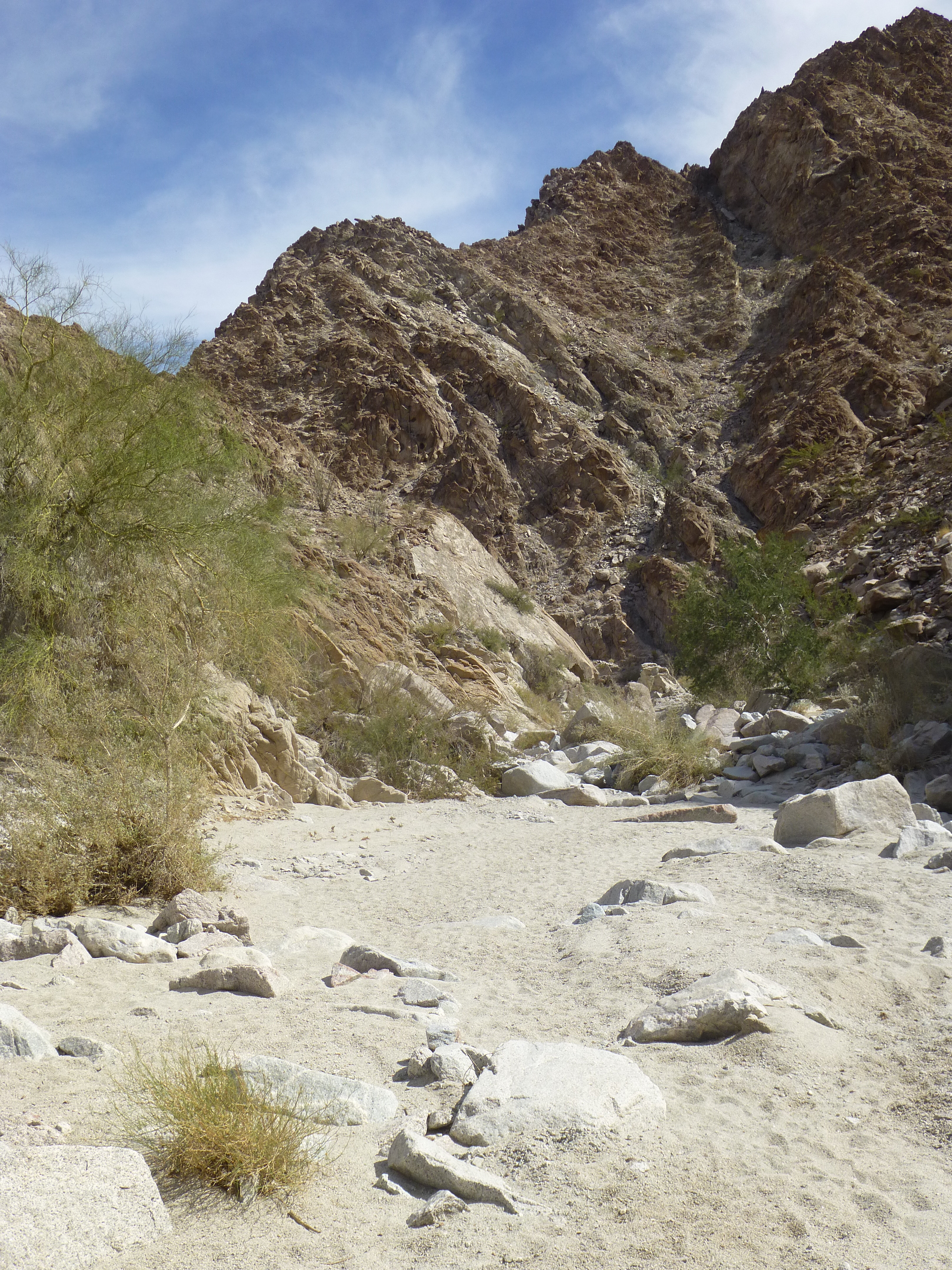
Past the rocks, the first bend was coming up.
Coming up to the first bend.
Entering the first bend, soft light filtered into the bottom of the canyon.
Filtered light
A sharp bend to the left awaited. As I entered that bend, I saw this steep side gully off to my right climbing up to the sky.
Steep stuff.
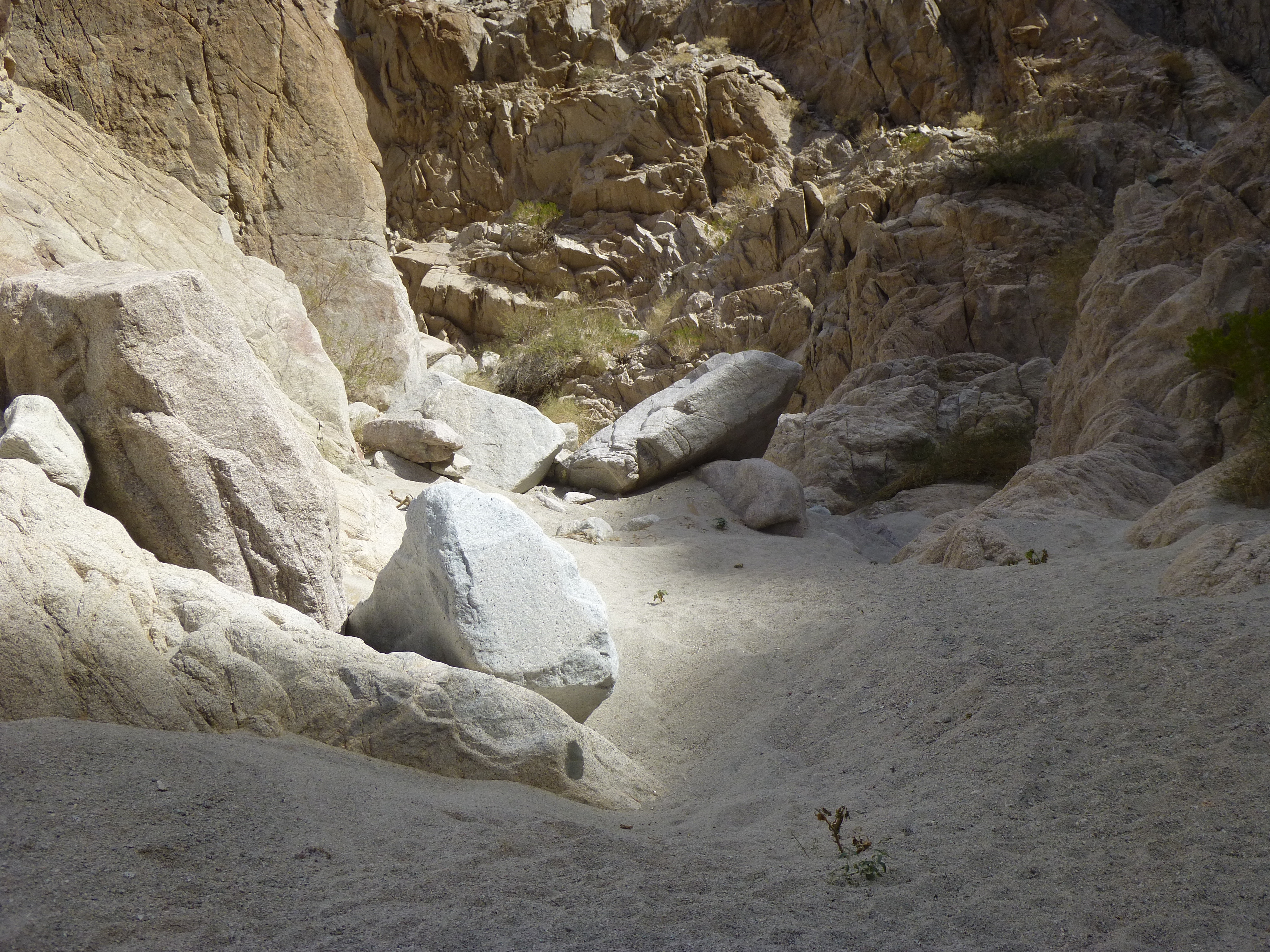
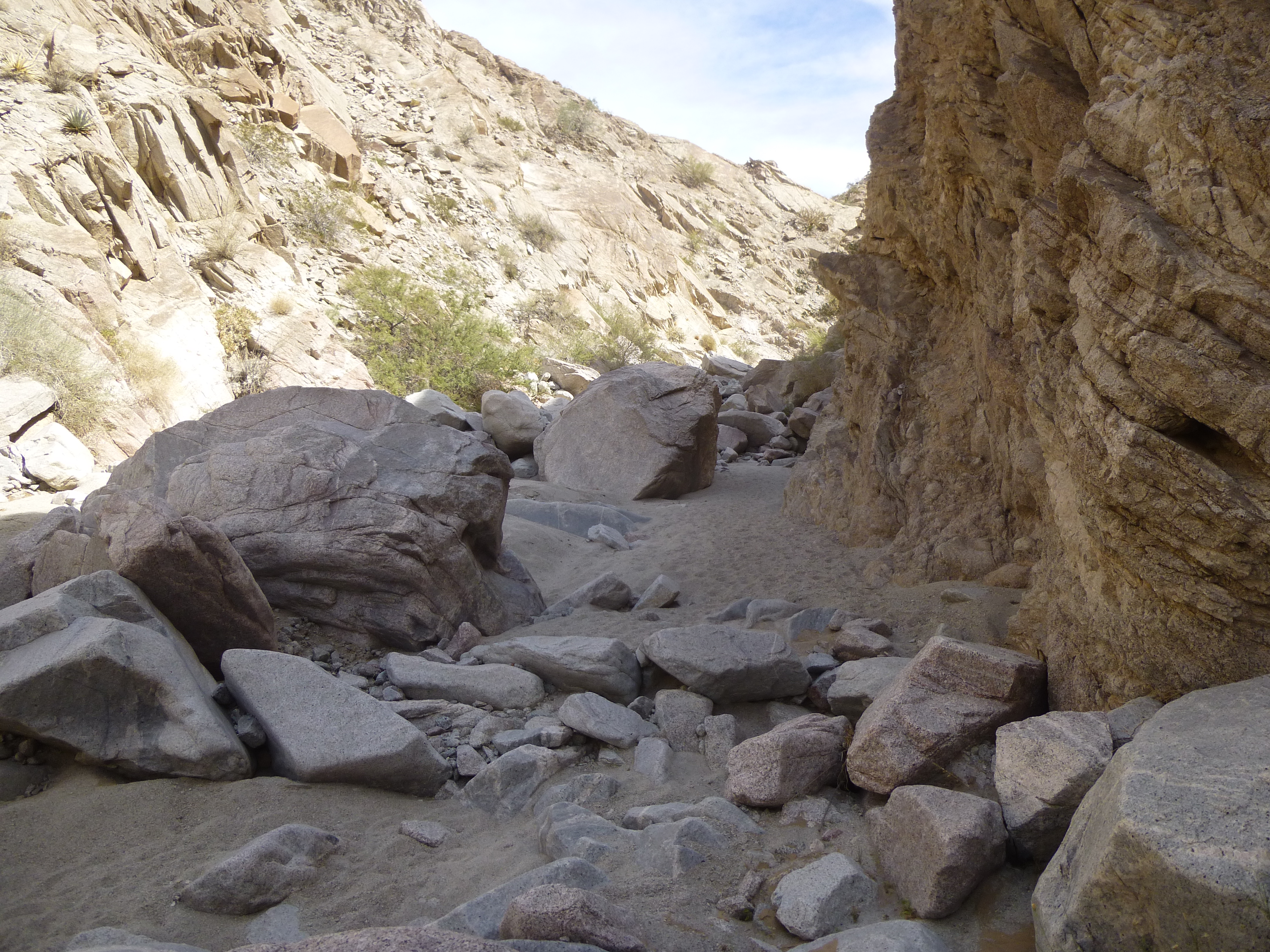
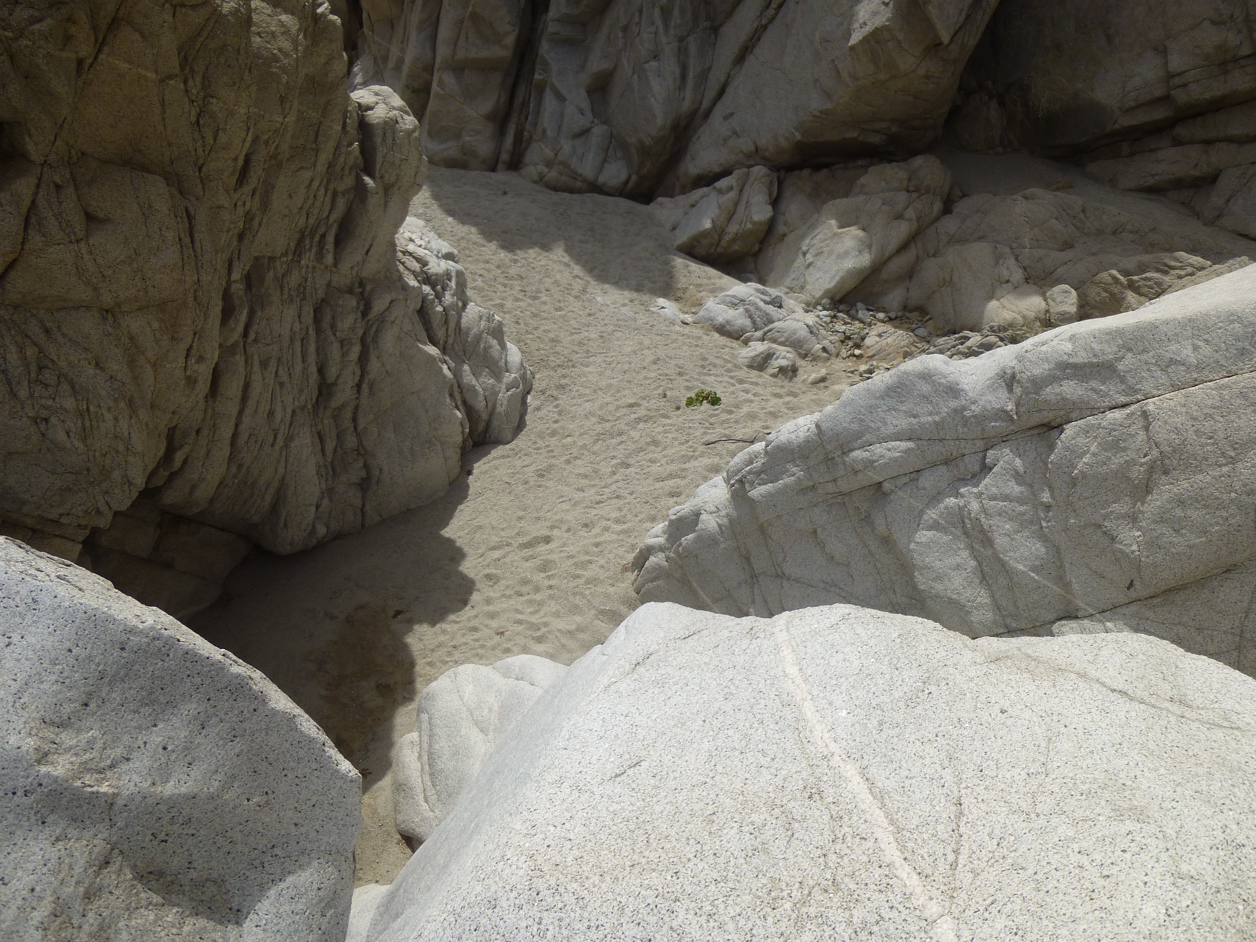
Once past that first bend, there was a bit of a straight stretch. Here, the canyon was quite narrow and choked with huge boulders.
Narrow and messy
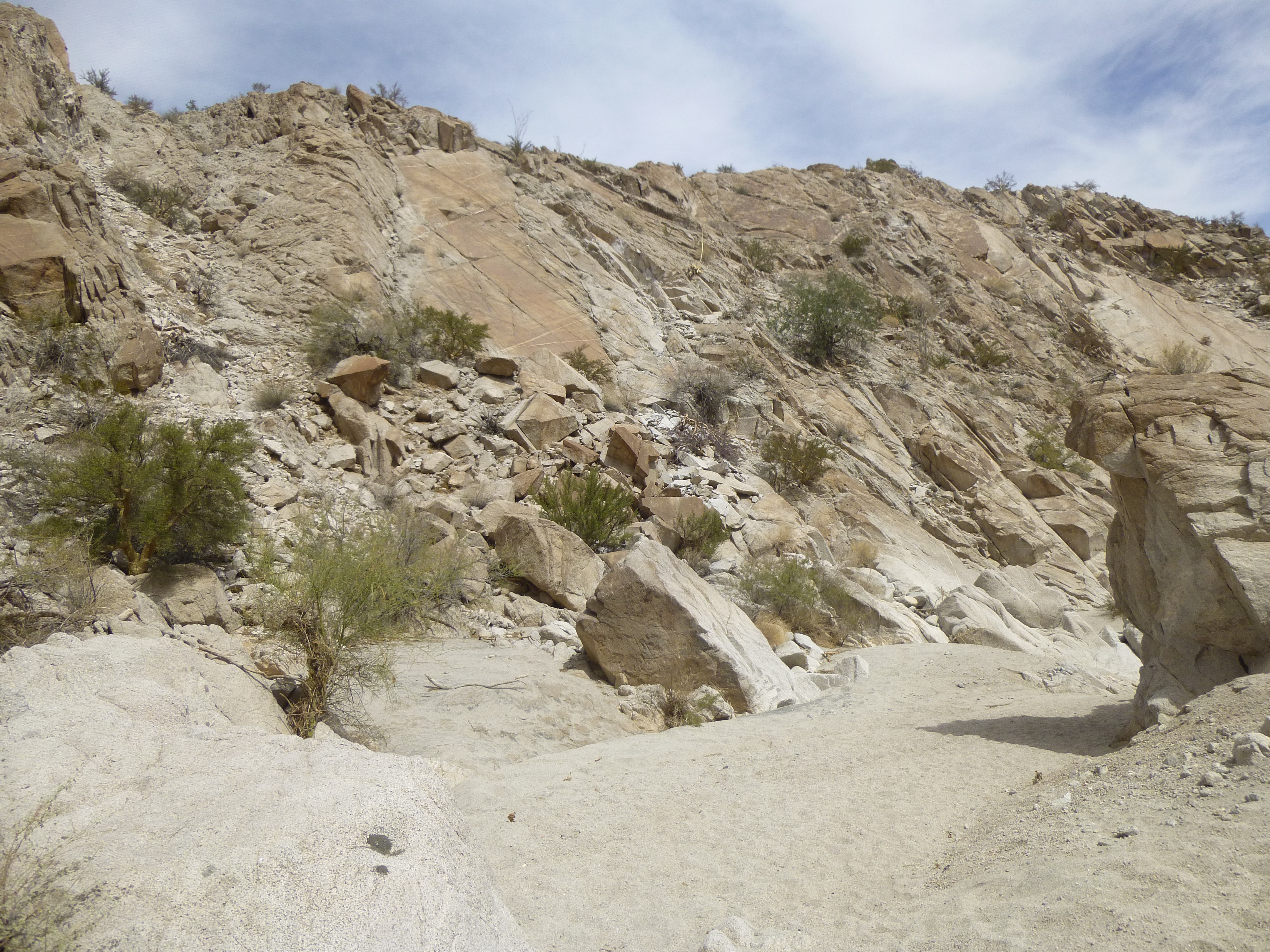
The canyon walls rose a full 600 vertical feet above where I stood, steep and rough. It would be a challenge to climb up and out. Something up ahead on the right caught my eye – a 20-foot tall slab of rock, quite vertical.
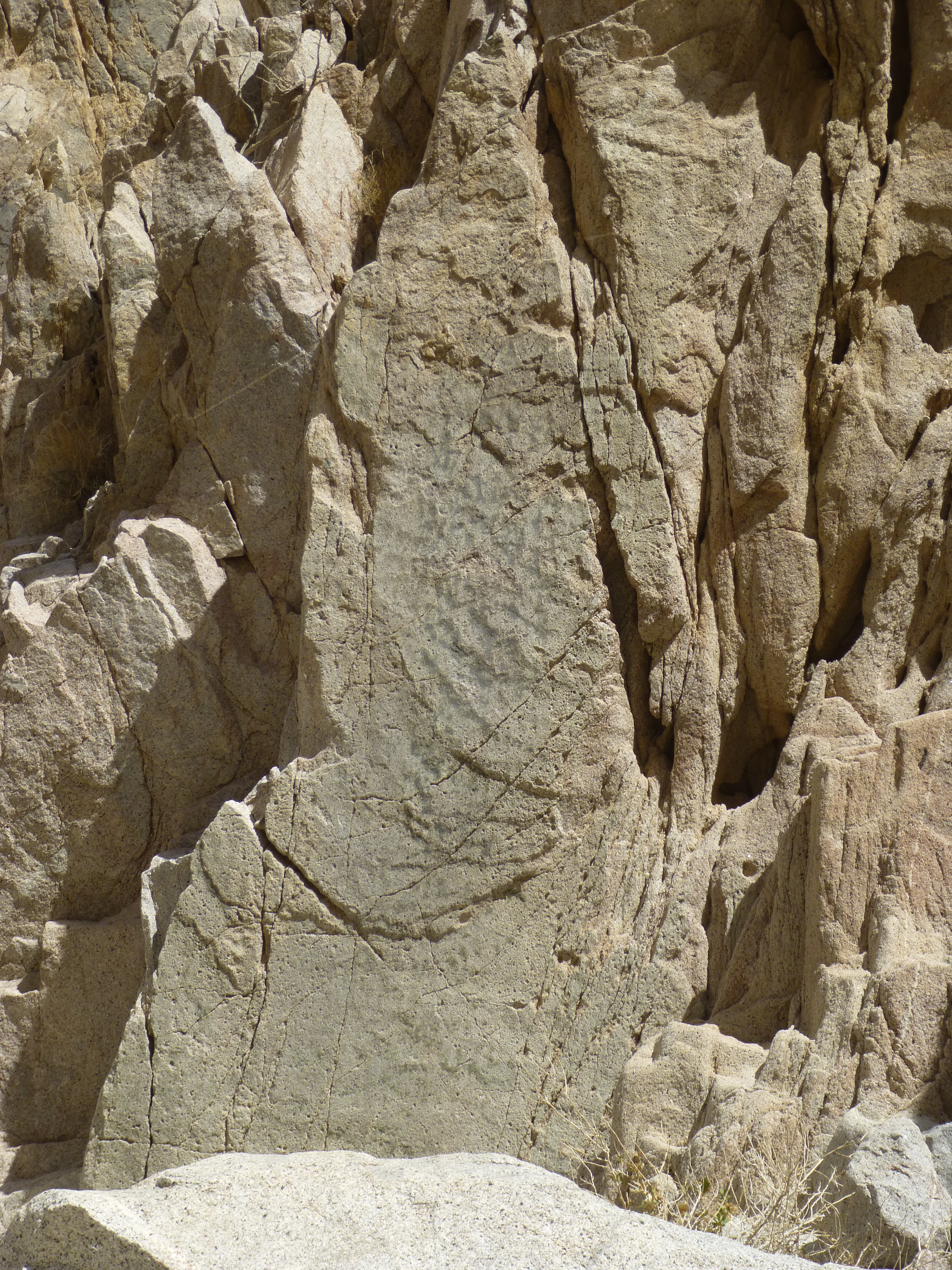
A distinct piece of rock
Not only was the slab quite distinctive, but it looked like there were markings on its surface. Here’s a close-up. See the black marks? Could they be faded pictographs, or were they just a natural part of the rock? Maybe I just have an over-active imagination.
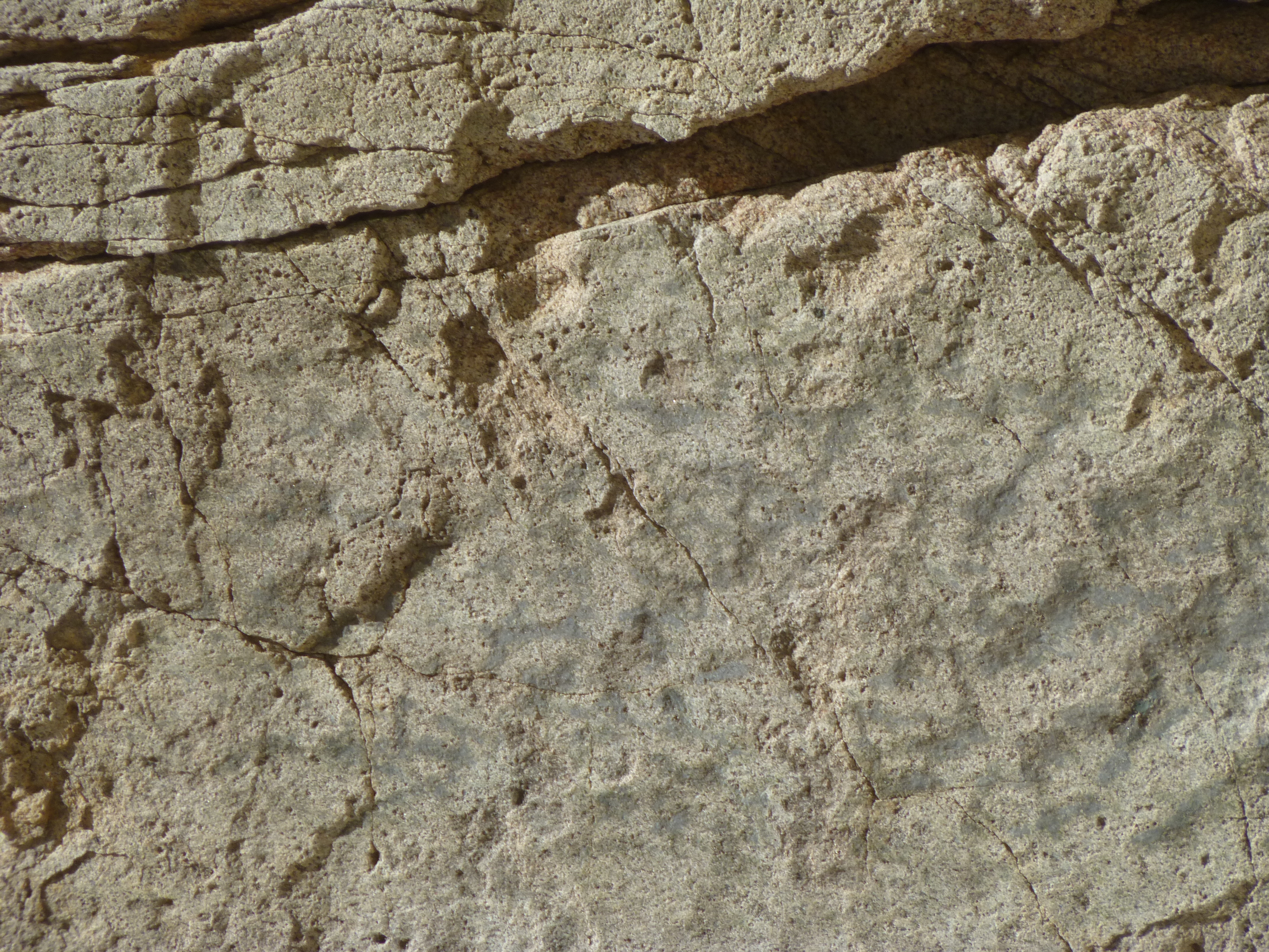
See the faint black marks?
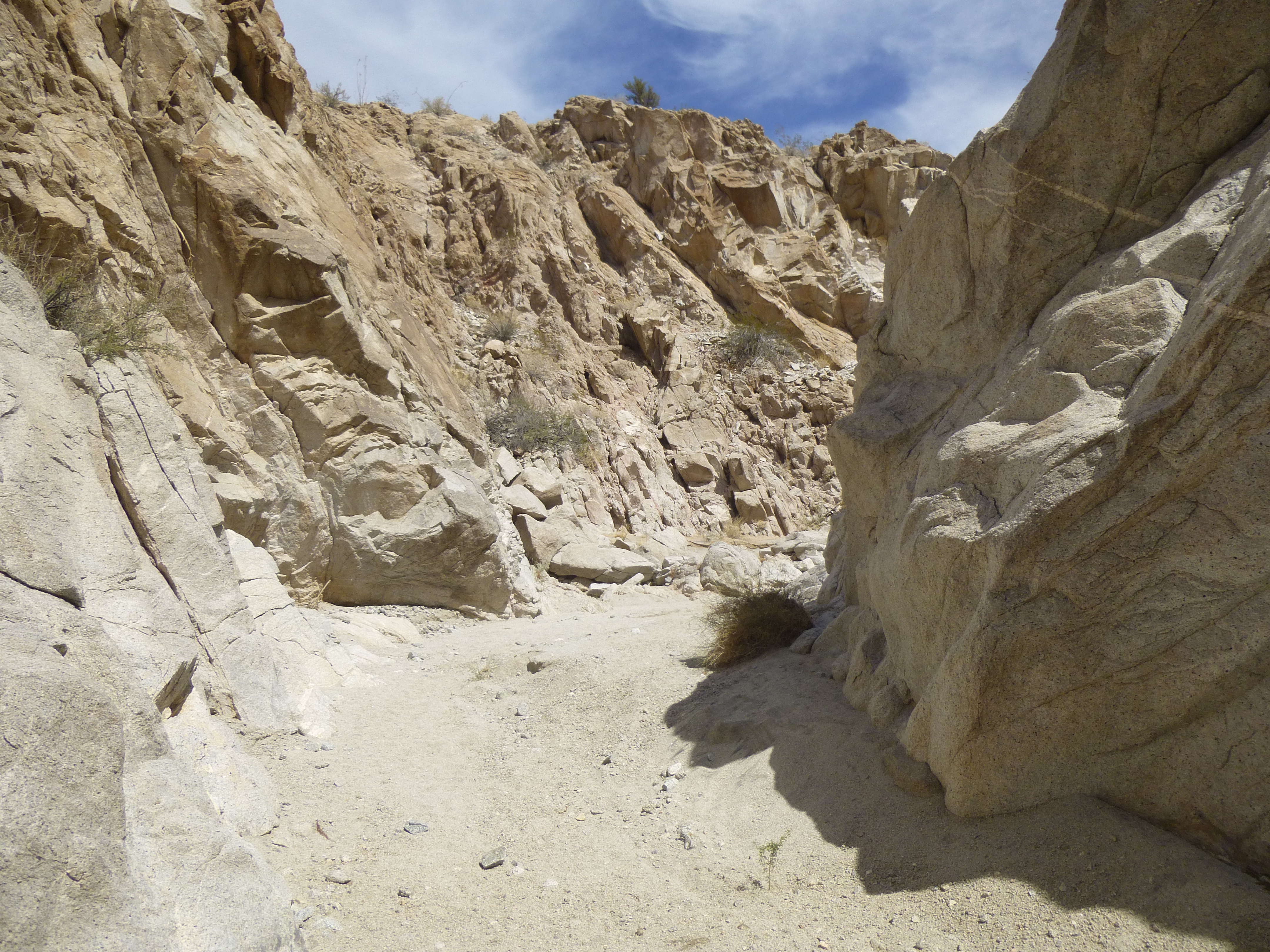
Not far past the slab, the canyon made a sharp turn to the right and headed east for about 400 feet.
A straight stretch
There were good examples of both the white and the pink types of granite that littered the canyon floor.
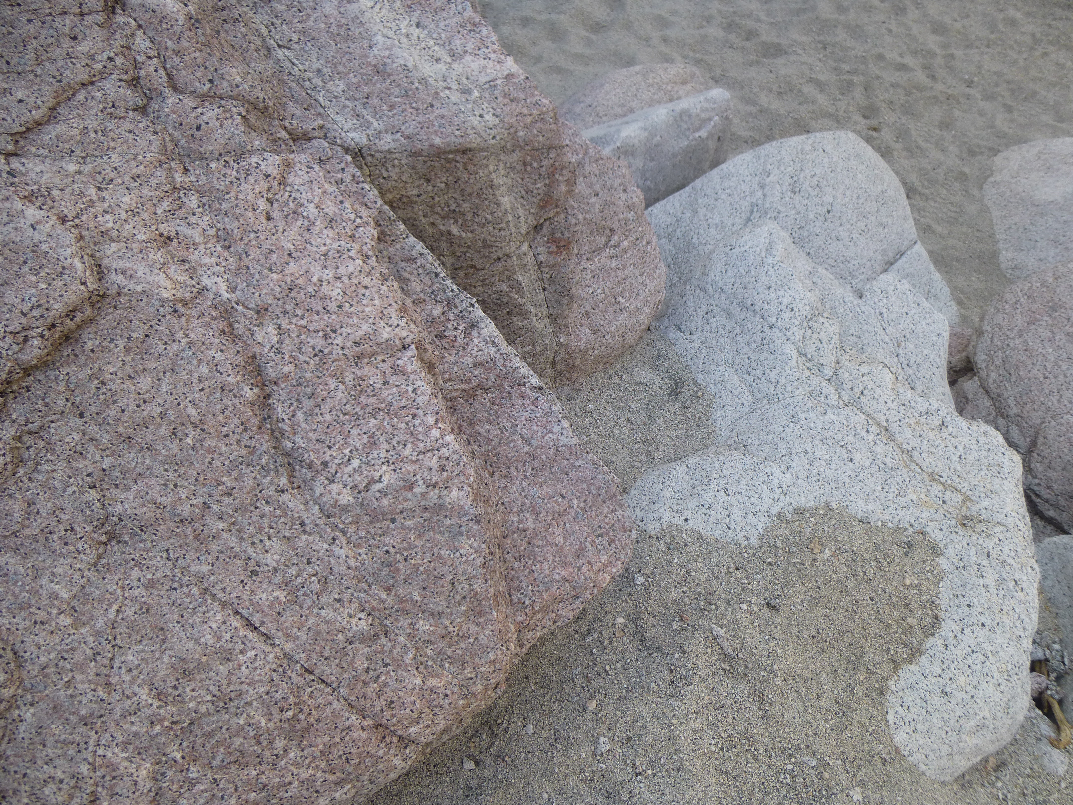
Pink and white
When I reached the end of that straight stretch, I entered an important feature of the canyon, a sharp hairpin bend. Here is a view of the first leg of that, a view to the south, which also shows the rugged nature of the mountains enclosing the canyon.
Looking south in the hairpin bend
Tucked in right at the tightest part of the bend was a healthy specimen of an elephant tree, Bursera microphylla, a member of the frankincense family. These amazing desert survivors live in the harshest environment imaginable, where summer temperatures here commonly reach 115 degrees F. and the average annual rainfall is a mere 3 inches. They can store water in their trunks.
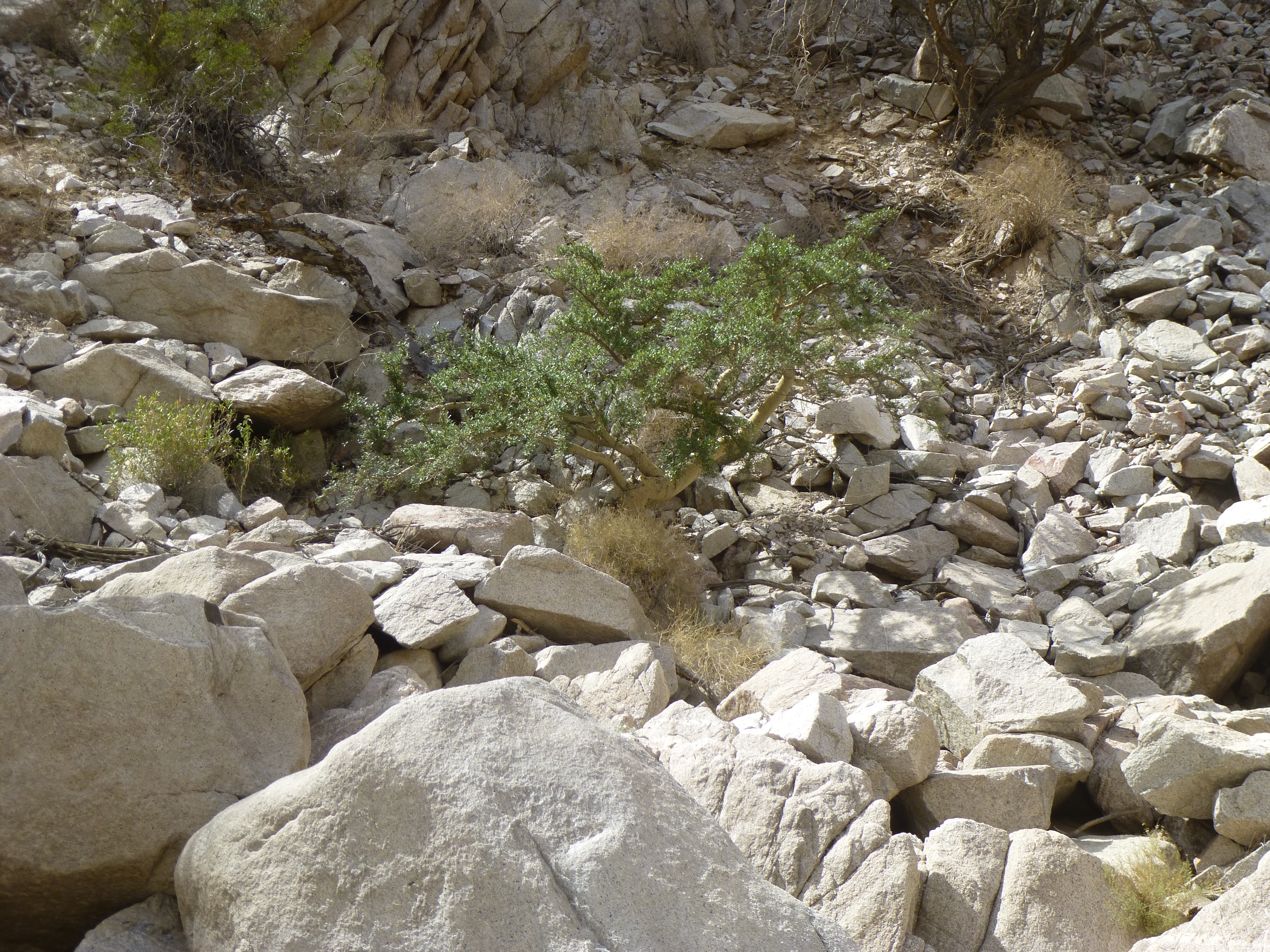
The elephant tree
Here is a close-up of the papery-looking trunk of one of these amazing plants.
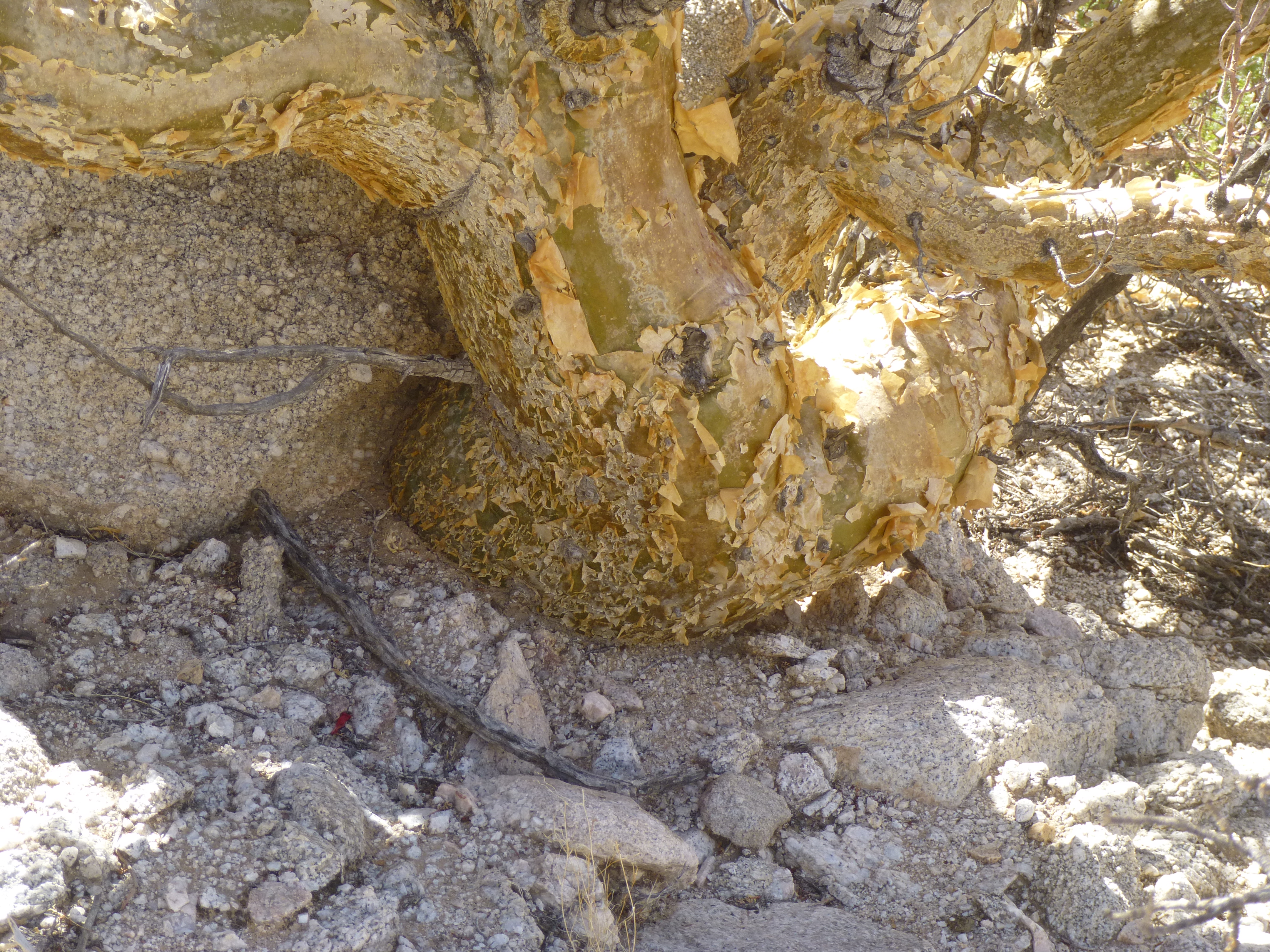
The elephant’s trunk
Once through the bend of the hairpin, we head north once again. At least for a while, the canyon is wider and sandy.
Looking north in the upstream part of the hairpin
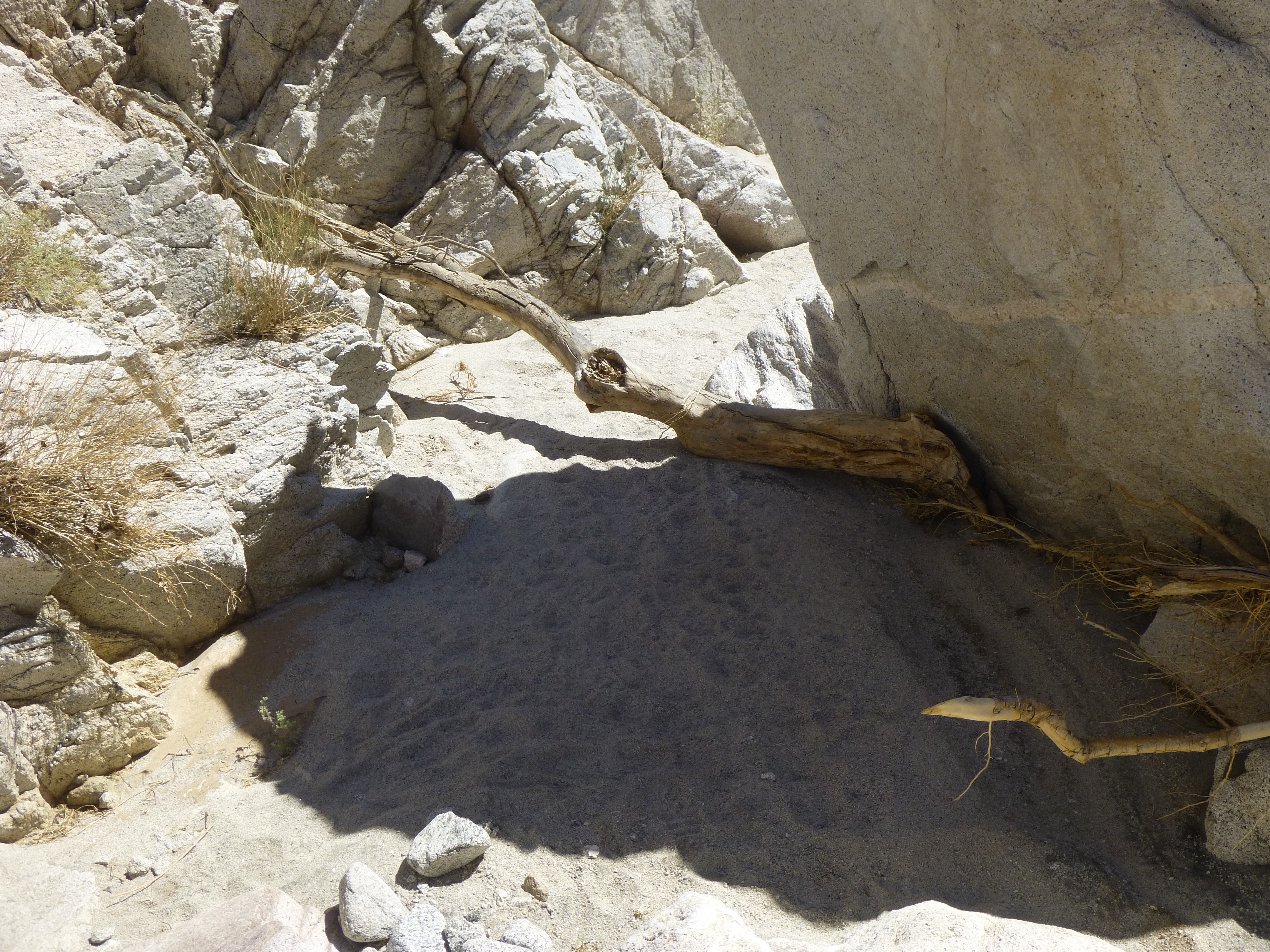
Even here, there is evidence that water does flow, however rarely. This is a bit of dried mud.
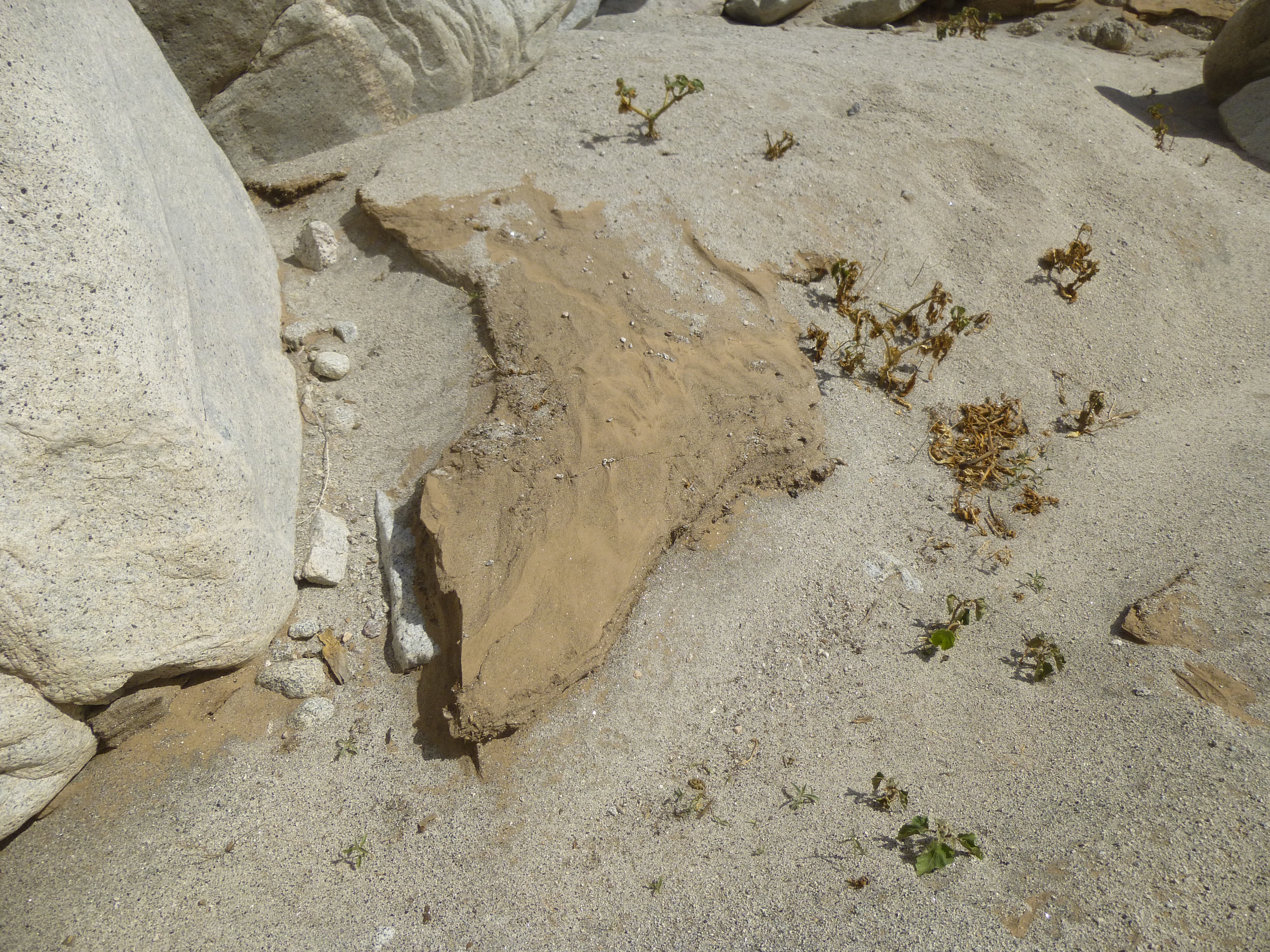
A bit of dried mud.
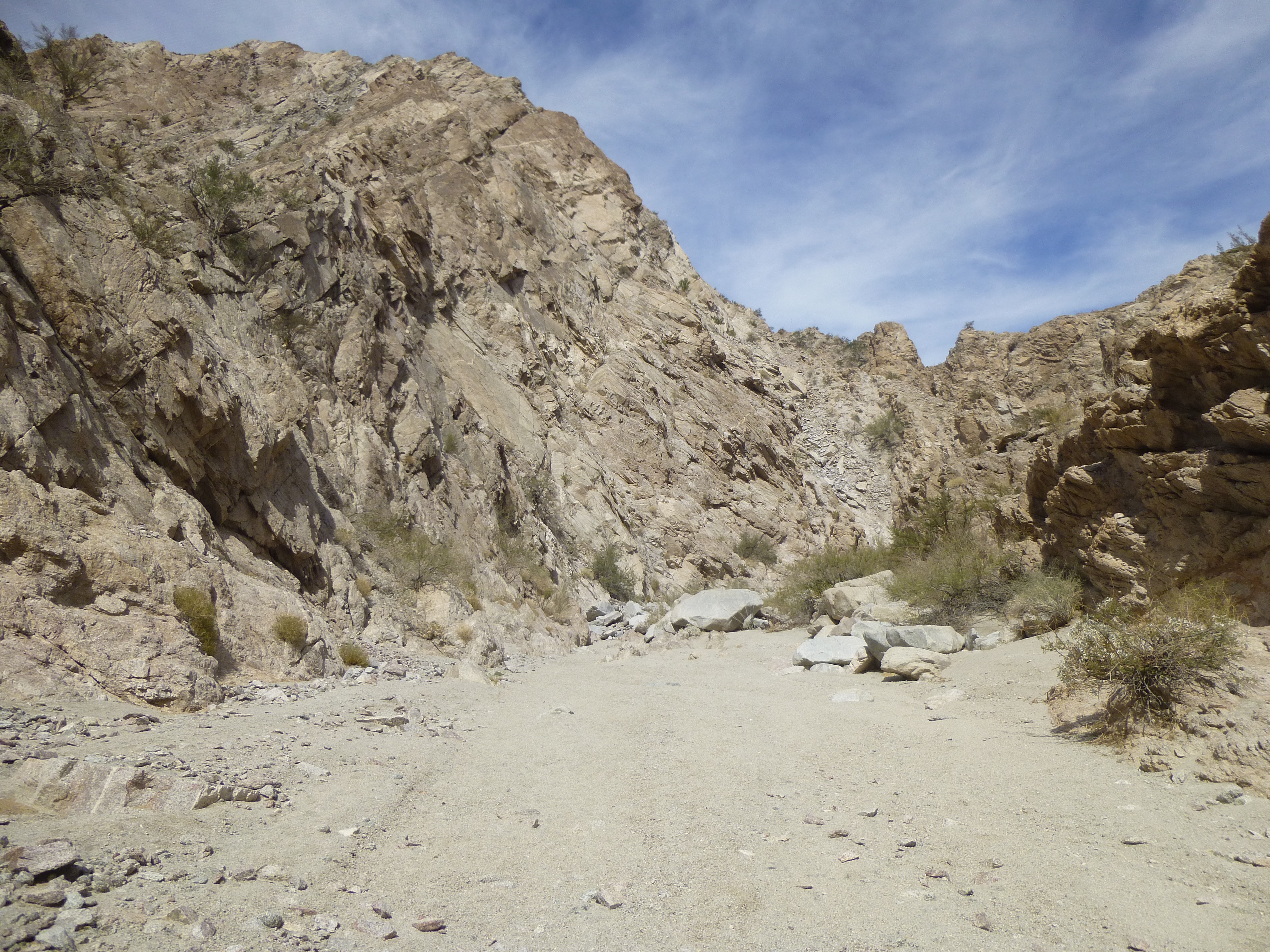
Another turn to the right heads us east again for a longer stretch.
Looking east again
There were some striking side canyons that I passed on my way.
One of the side canyons
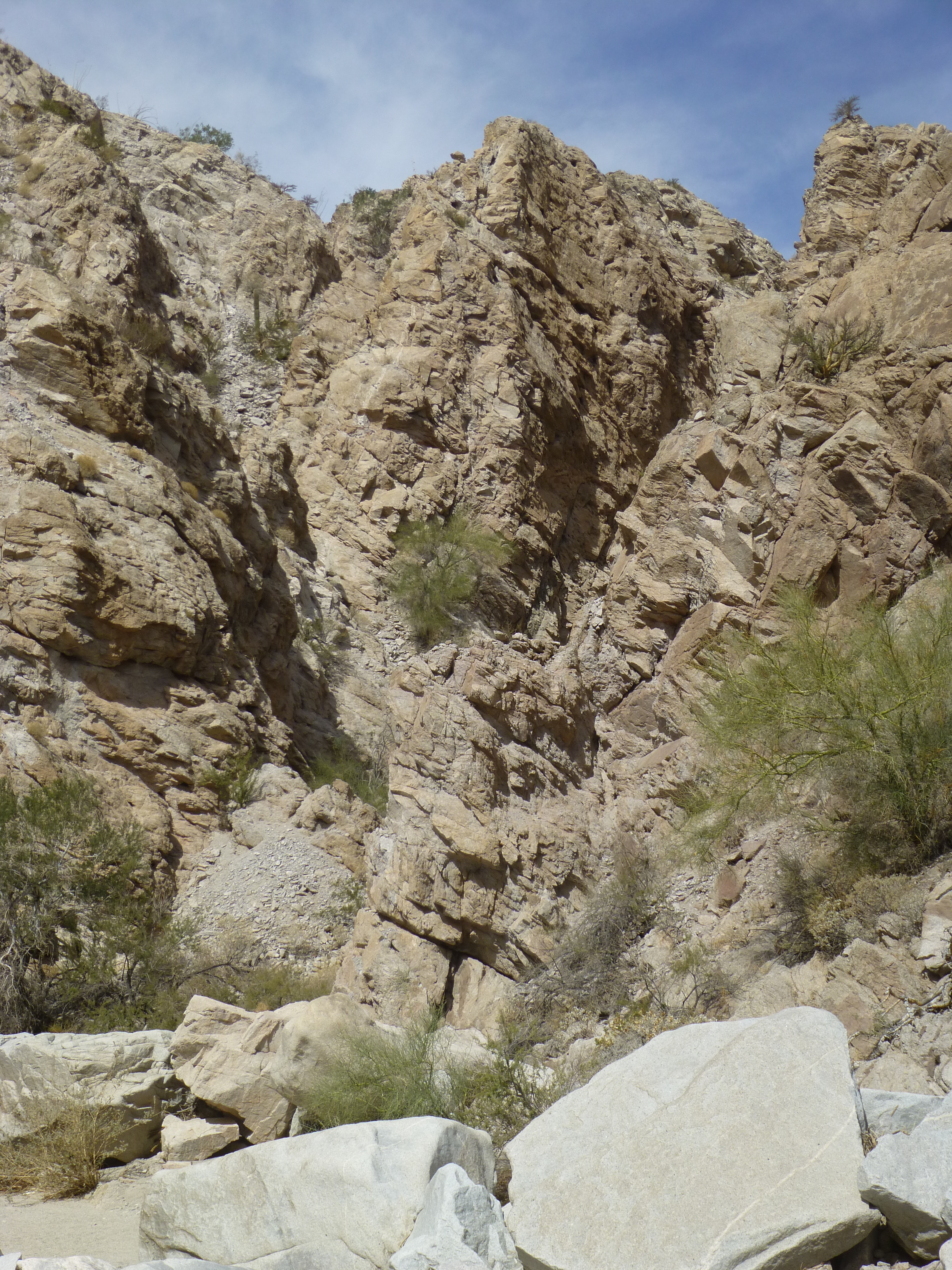
There were towering walls lurking around every corner.
Steep walls
From time to time, piles of huge rocks blocked the way, and had to be negotiated.
Minor obstacle
Here’s a view from atop some of the rocks blocking the canyon.
Looking back down
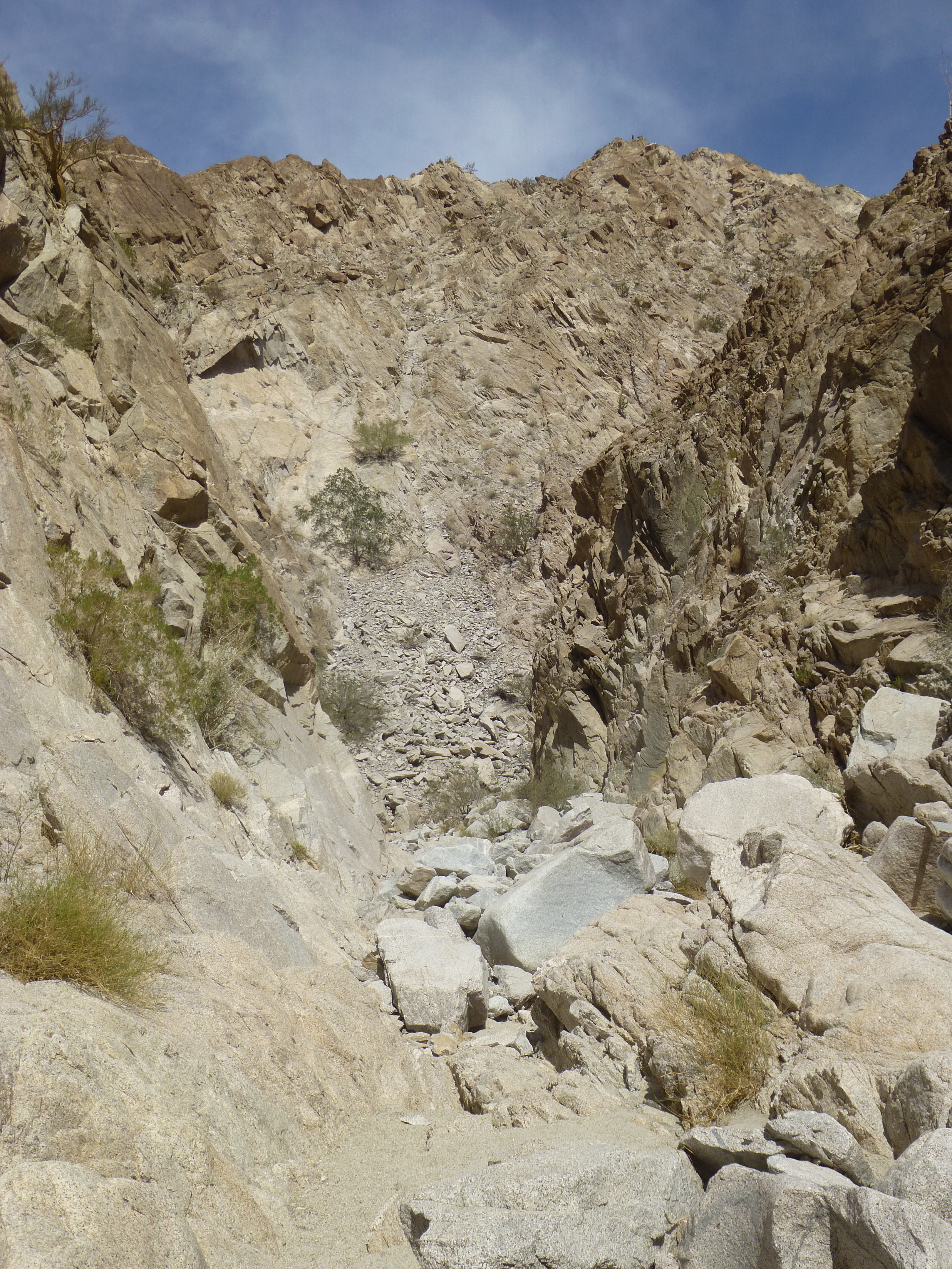
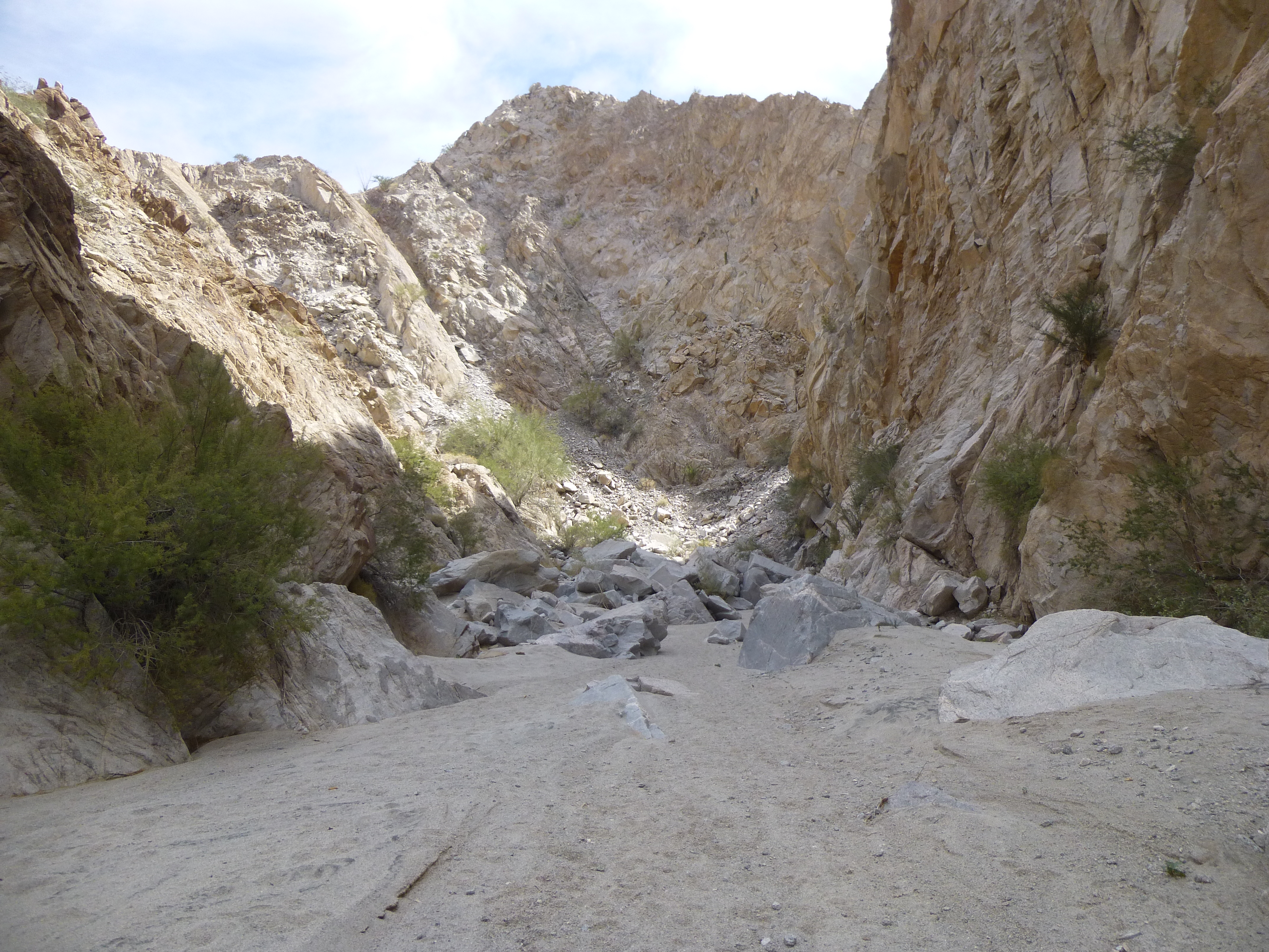
Finally, I reached a point where the canyon walls became lower.
Starting to emerge from the depths
But I had been fooled, because around another corner things closed in again.
Not done yet.
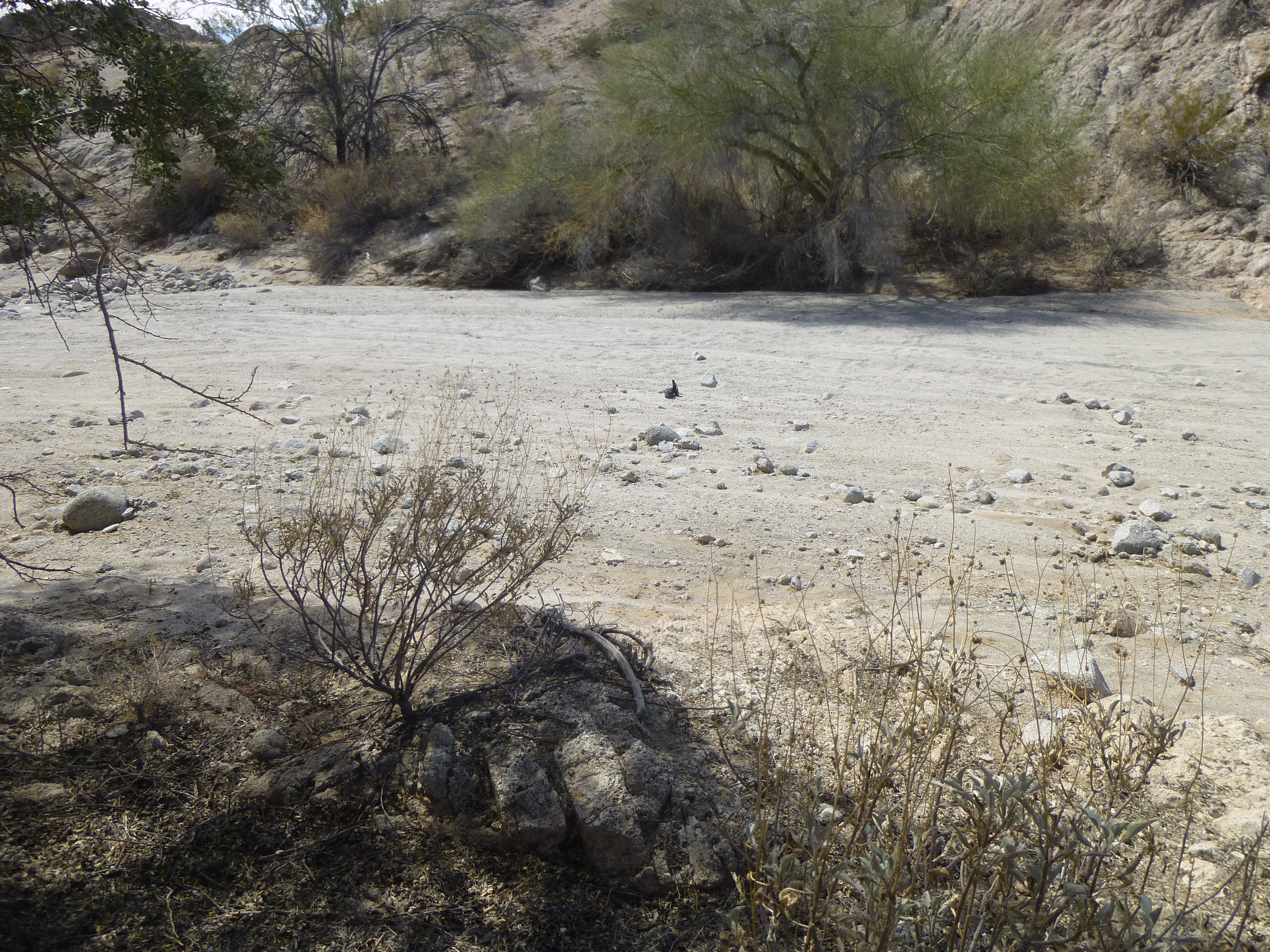
All this time in the canyon, there had only been footprints – no vehicle was able to penetrate its fastness. Finally, however, I emerged at a point where a last set of boulders blocked the upper canyon entrance. Beyond that sat a side canyon down which vehicles had driven, but they too could not drive past the boulders and down into the main canyon.
The side canyon
Unsure of what still lay ahead, I thought I’d walk a little farther upstream. Yes, vehicles had driven in the sandy wash, changing the look and feel of Spook Canyon, but I was still curious.
People had driven here
Fortunately, they hadn’t driven far – the reason was that up ahead things looked like they were closing in again. I was surprised, I thought I was all done with that.

What’s ahead?
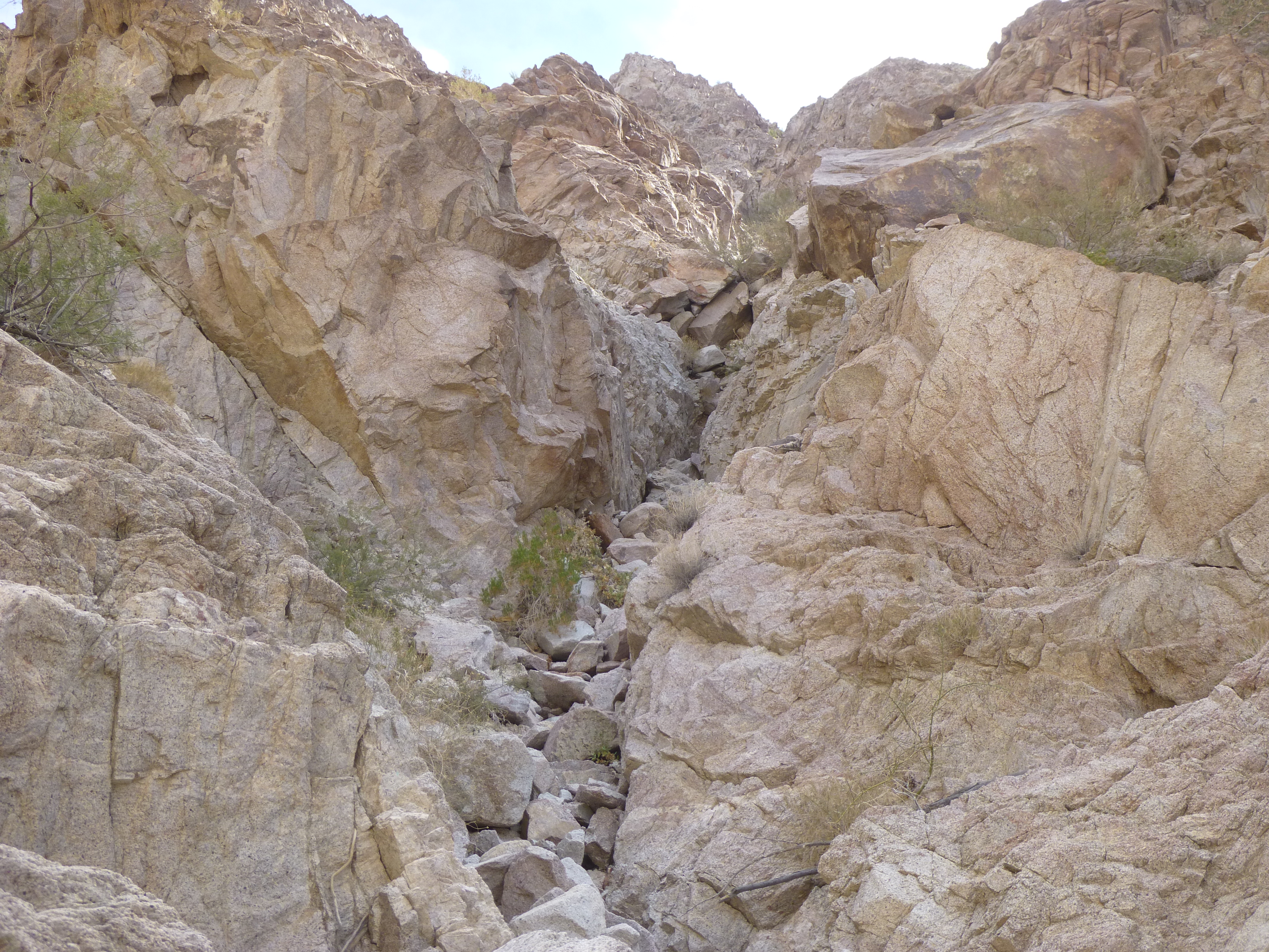
As I continued, the walls closed in, way in. Interesting.
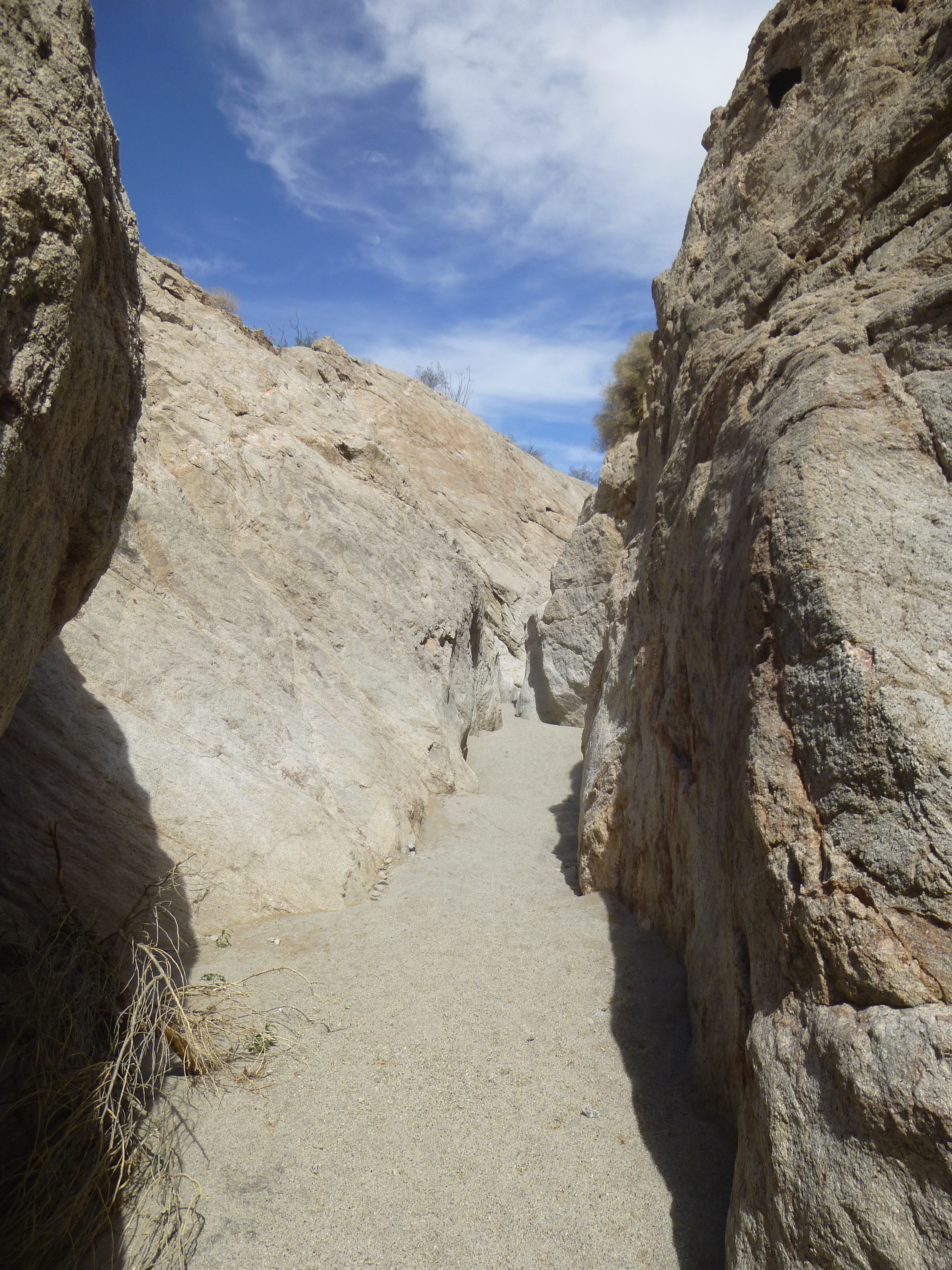
Very cool.
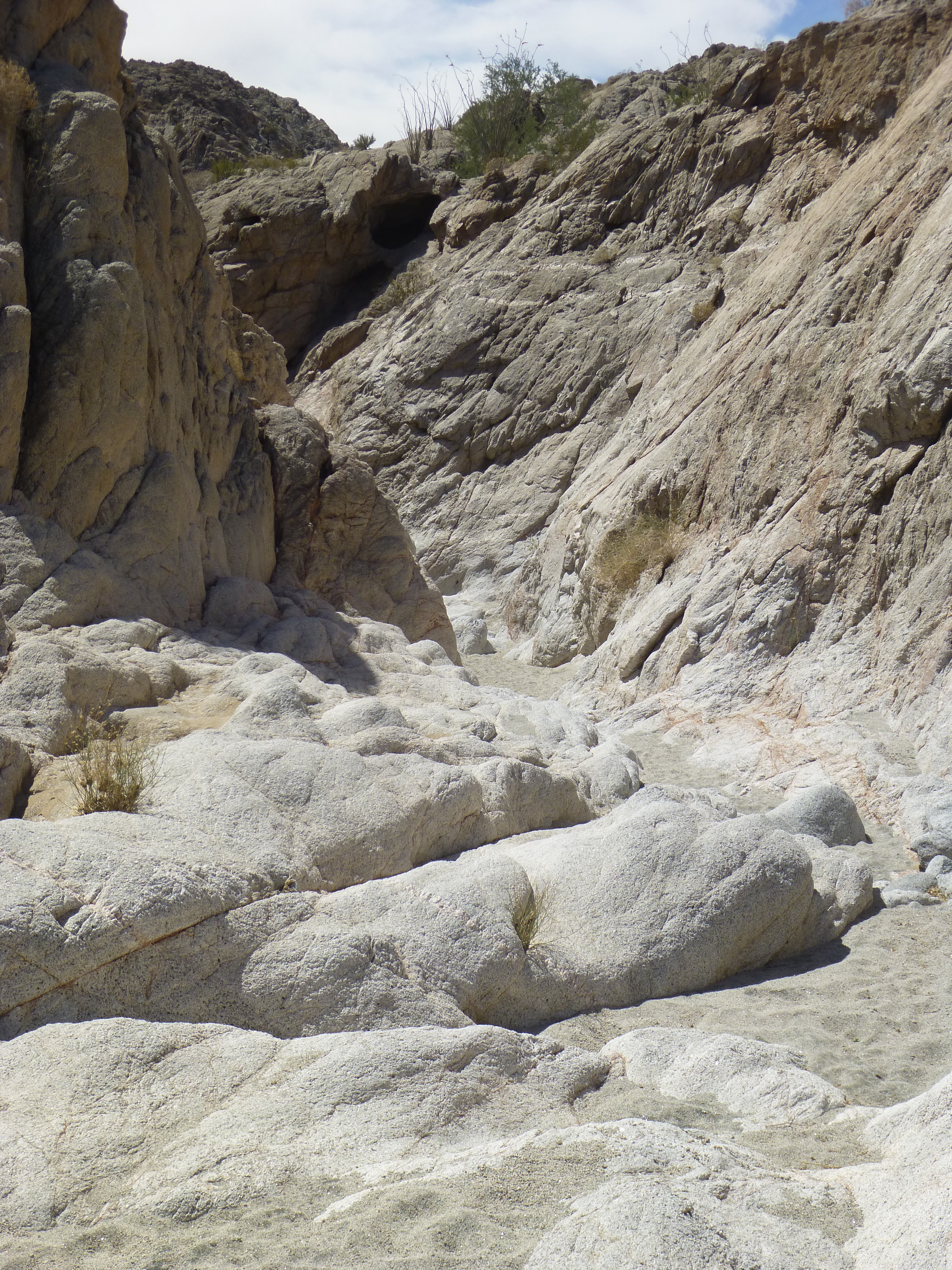
Things became even tighter, so much so that I could reach out and touch both walls at once. This was great, I loved every bit of it. It went on for a while.
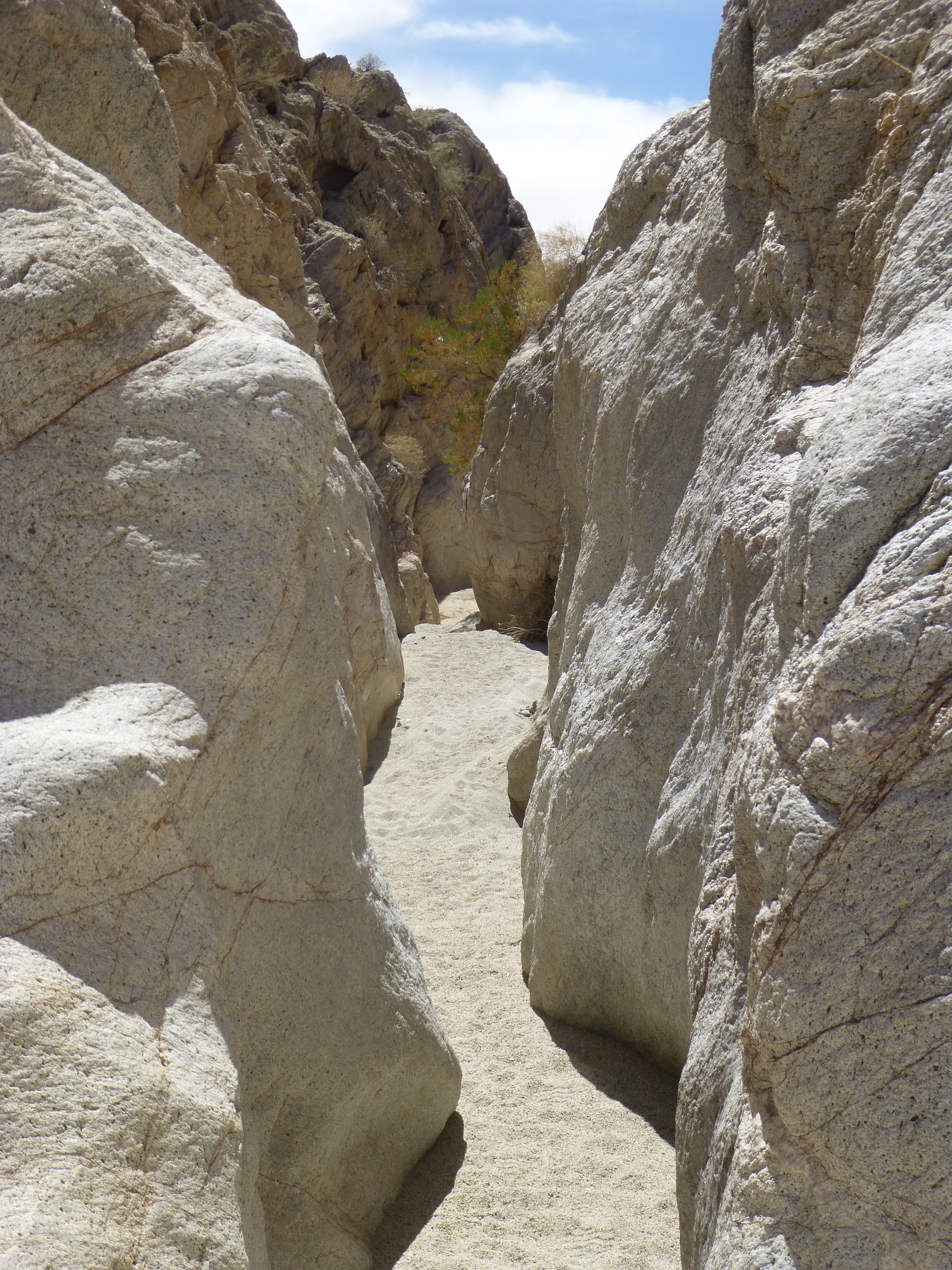
Even better
There was no way any vehicle was going to drive through this part of the canyon. I’m not sure if this qualifies as a slot canyon or not – maybe not – I looked it up, and learned that slot canyons are formed by the action of rushing water. This one doesn’t look like the famous slot canyons in northern Arizona, but it was an enjoyable surprise, coming well after the main part of Spook Canyon had already ended. Once I was through this narrow canyon, things opened up again and looked like this.
Back in a wider part of Spook Canyon
I walked on for a while, and it looked like Spook Canyon was over and done with. Just to make sure, I climbed a small hill to have a look around. Here’s what greeted me, and let me explain what you’re seeing. All of the light-colored ground you see in the foreground is at the elevation of 1,050 feet, as am I. One kilometer away sits a row of brown hills which rise to about 1,400 feet. Beyond that, on the horizon, sits a row of dark hills, some of the highest in the Gila Mountains – in fact, in that area they rise to over 3,100 feet.
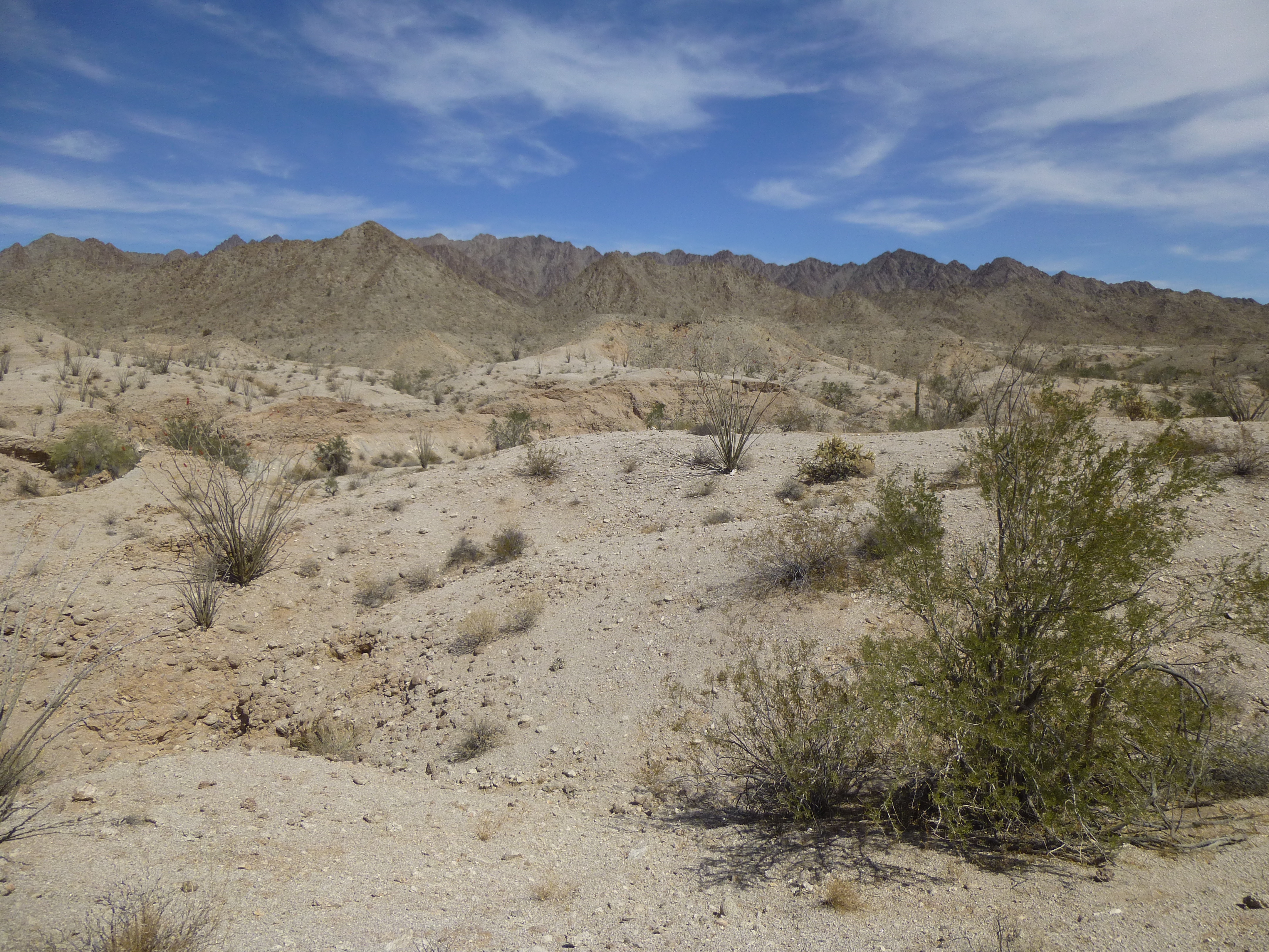
Looking northeast
At the west end of the canyon, the end where I had started, was the completely flat Yuma Desert. Here, where I now stood, was the tumbled country at the north end of the Davis Plain. From one end of Spook Canyon to the other was a gain of only 200 vertical feet. How far do you think it was, to travel from where I’d parked, and all the way up through the canyon, even up through the “slot canyon” at the upper end? I’ll let you ponder it for a bit.
Once I’d decided to turn around, I found a shady spot under an ironwood tree at the side of the wash and enjoyed a leisurely lunch. The desert was absolutely quiet – not a sound to be heard, really something to treasure.
Lunch spot
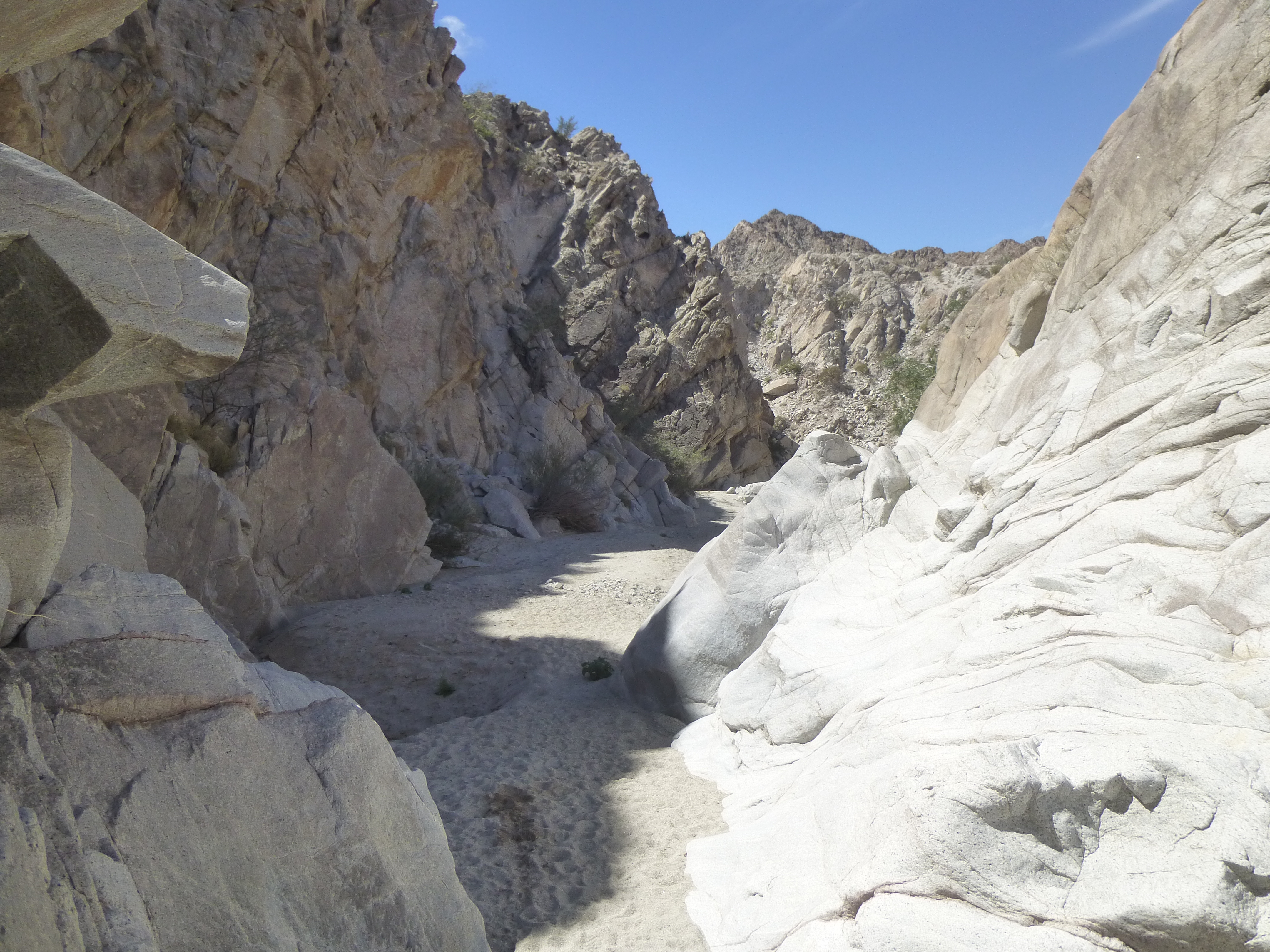
Although I’d return the same way I’d come, I was looking forward to it. I had a feeling that the play of light in the canyon depths would have changed how things would look. I was not to be disappointed. This is the approach to the upper end of the slot.
Nearing the slot.
This lizard watched me pass by – notice how coarse-grained the granite was here.
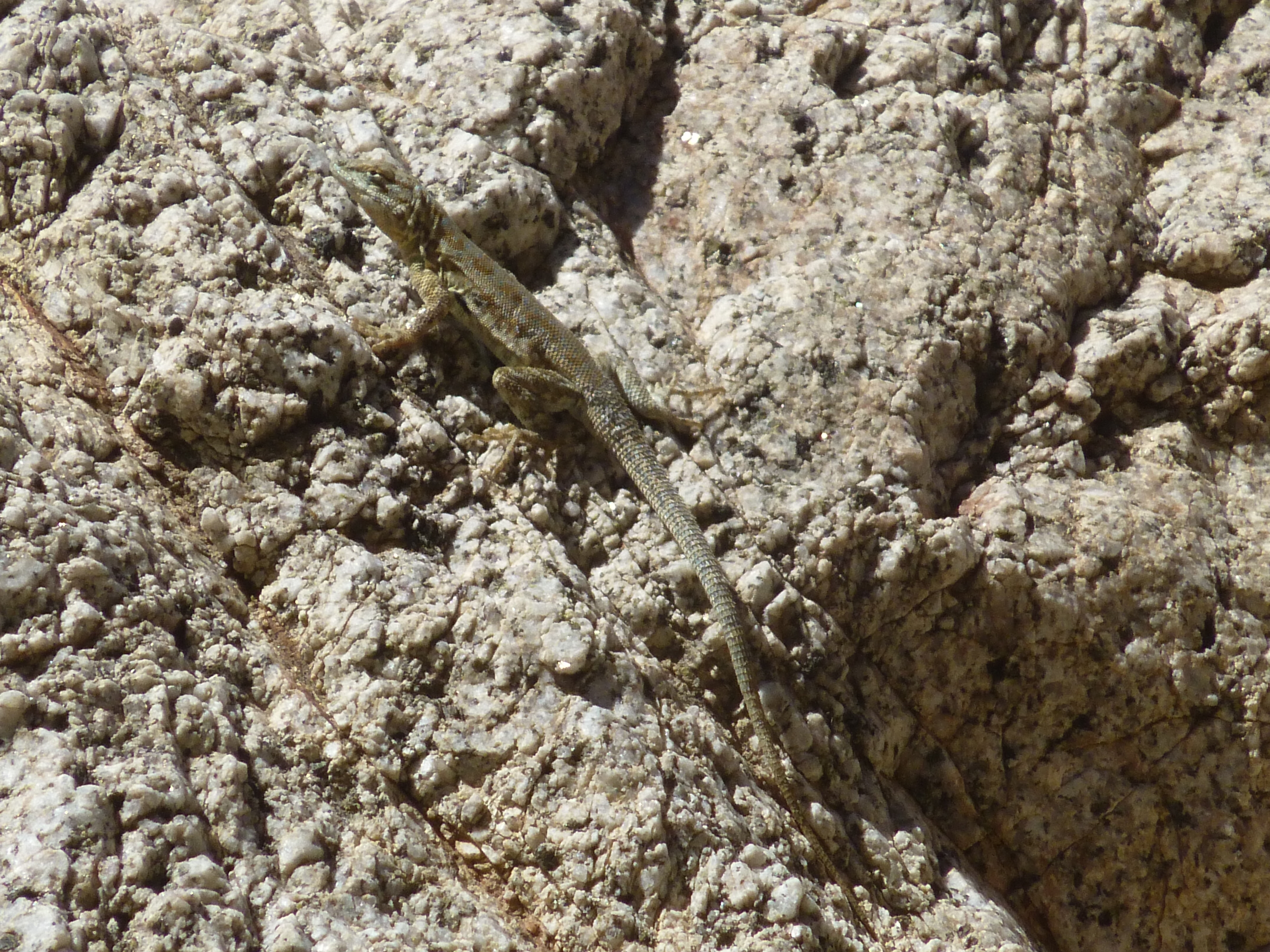
Señor Lagartija
I loved seeing these places where the worn granite came in waves right down to the canyon bottom.
Lotsa rock
From somewhere way upstream, storms had carried this tree deep into the canyon.
The tree
Aside from the odd bush and a very few trees, little grew down in the canyon, so it was a surprise to see this healthy plant in the sand.
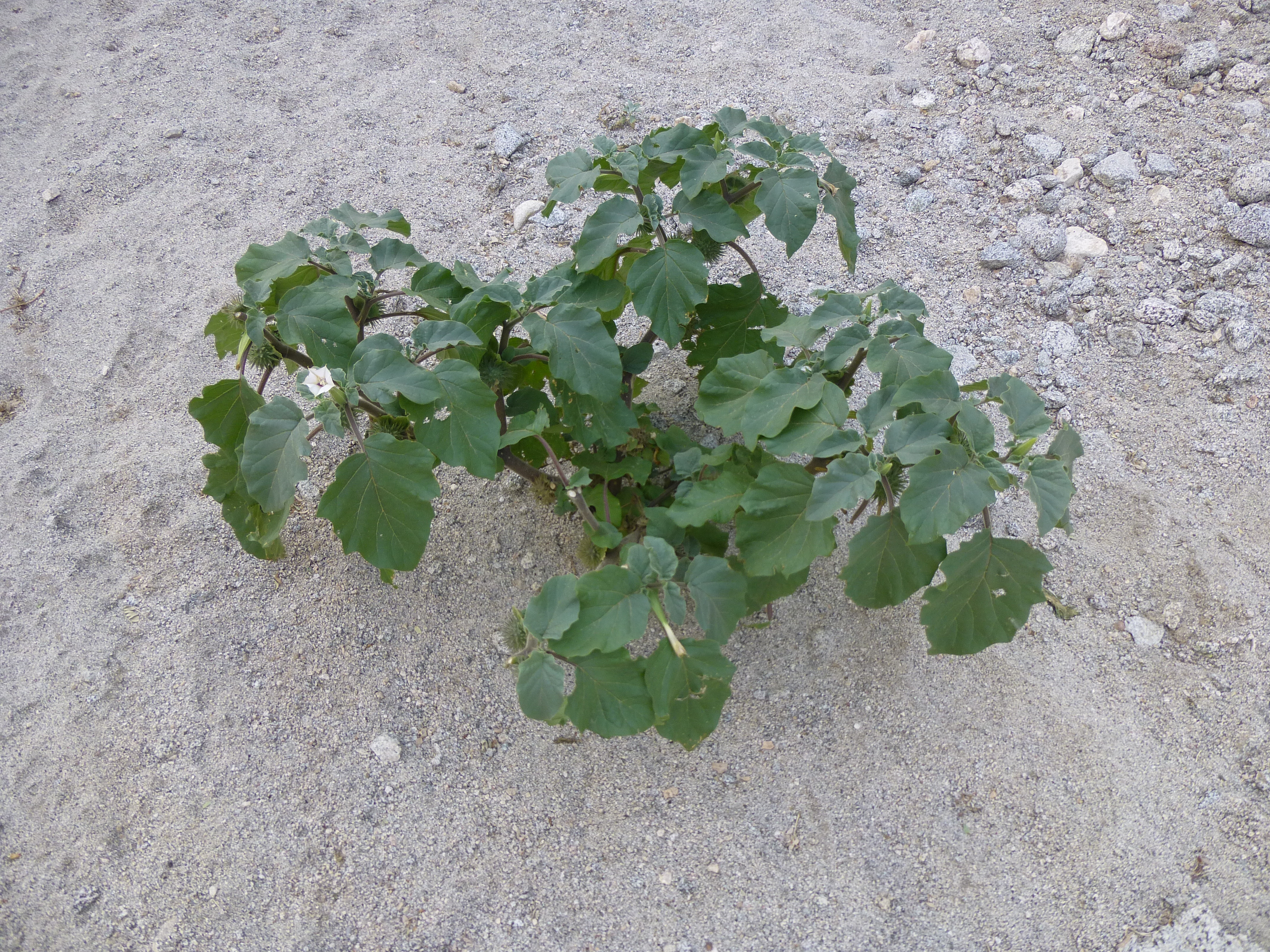
The lonely plant.
Before long, I was back where I’d started. My truck was undisturbed. I shared a snack with a curious chipmunk, then headed back out to the Camino del Diablo, back out into the flatness of the Yuma Desert. As you can see here, very different terrain than what I saw on the east side of Spook Canyon.
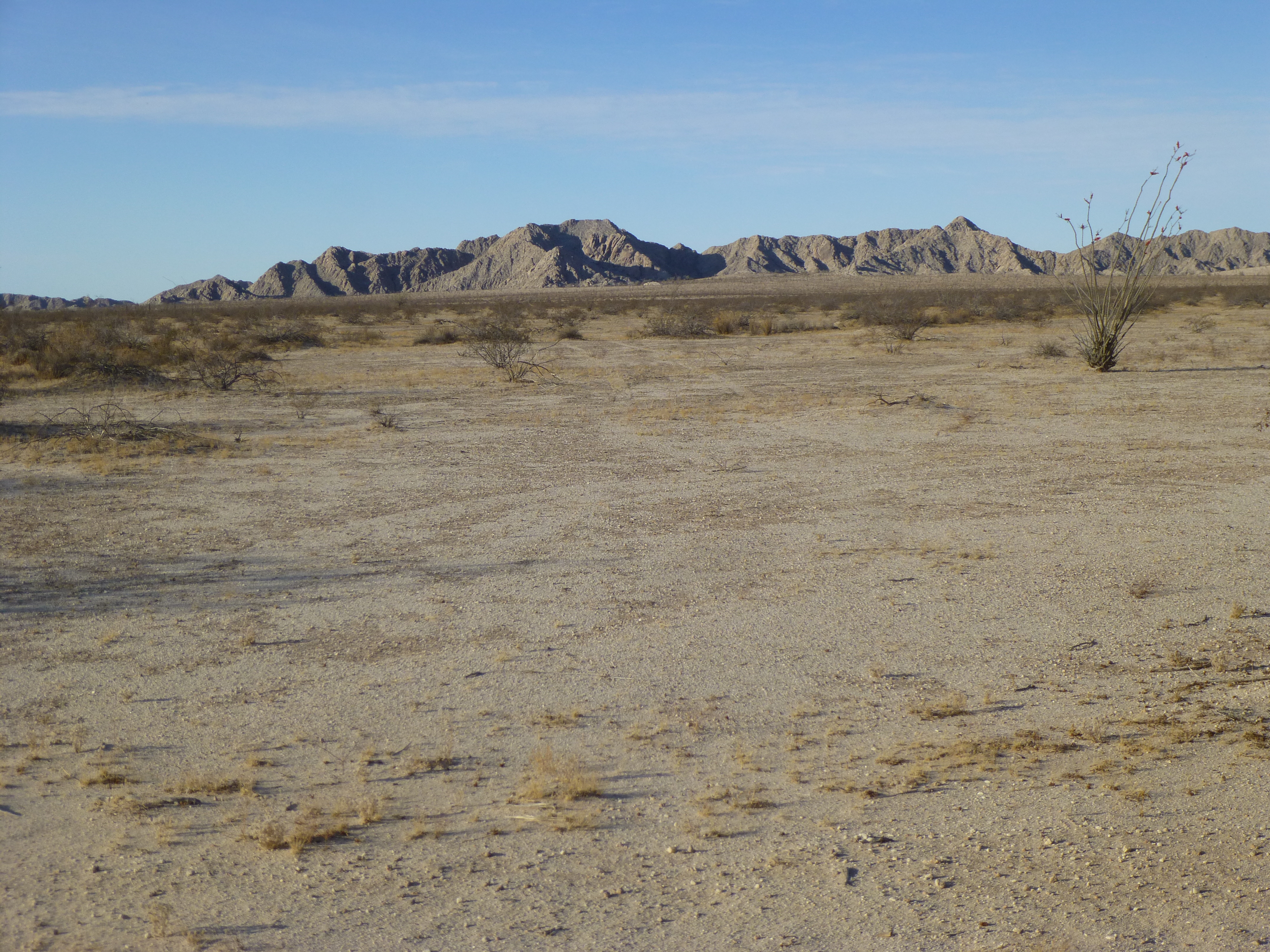
The Yuma Desert
Oh yes, what was your guess as to the distance I traveled through Spook Canyon? If you guessed one mile (each way), you’d be exactly right. And if you click on this link, it will open up a map of the canyon for you.
https://listsofjohn.com/qmap?lat=32.4808&lon=-114.2825&z=12&t=u&P=300&M=Desert+Mountaineer
In the upper left corner of the map, click on the + sign to zoom way in. And in the upper right corner, click on the CalTopo button for a drop-down menu, then click on Satellite and zoom in as much as you want.
Thanks for accompanying me on this special journey, a break from my normal mountaineering.