
Summer comes early here in the desert, regardless of what the calendar may say. In late May, things were heating up – it was time to head north into the cool forests of northern Arizona. I left home and headed up to Flagstaff. In so doing, I climbed 4,500 feet and dropped 30 degrees in temperature. Now that was more like it. Another 20 miles out of town, I found myself at a campground in the Coconino National Forest, a place called Lockett Meadow – here, I had climbed again and was now at 8,600 feet elevation. After a quick look around, I chose a camp spot and parked. Literally right next to camp was something to climb, a peak called Sugarloaf.
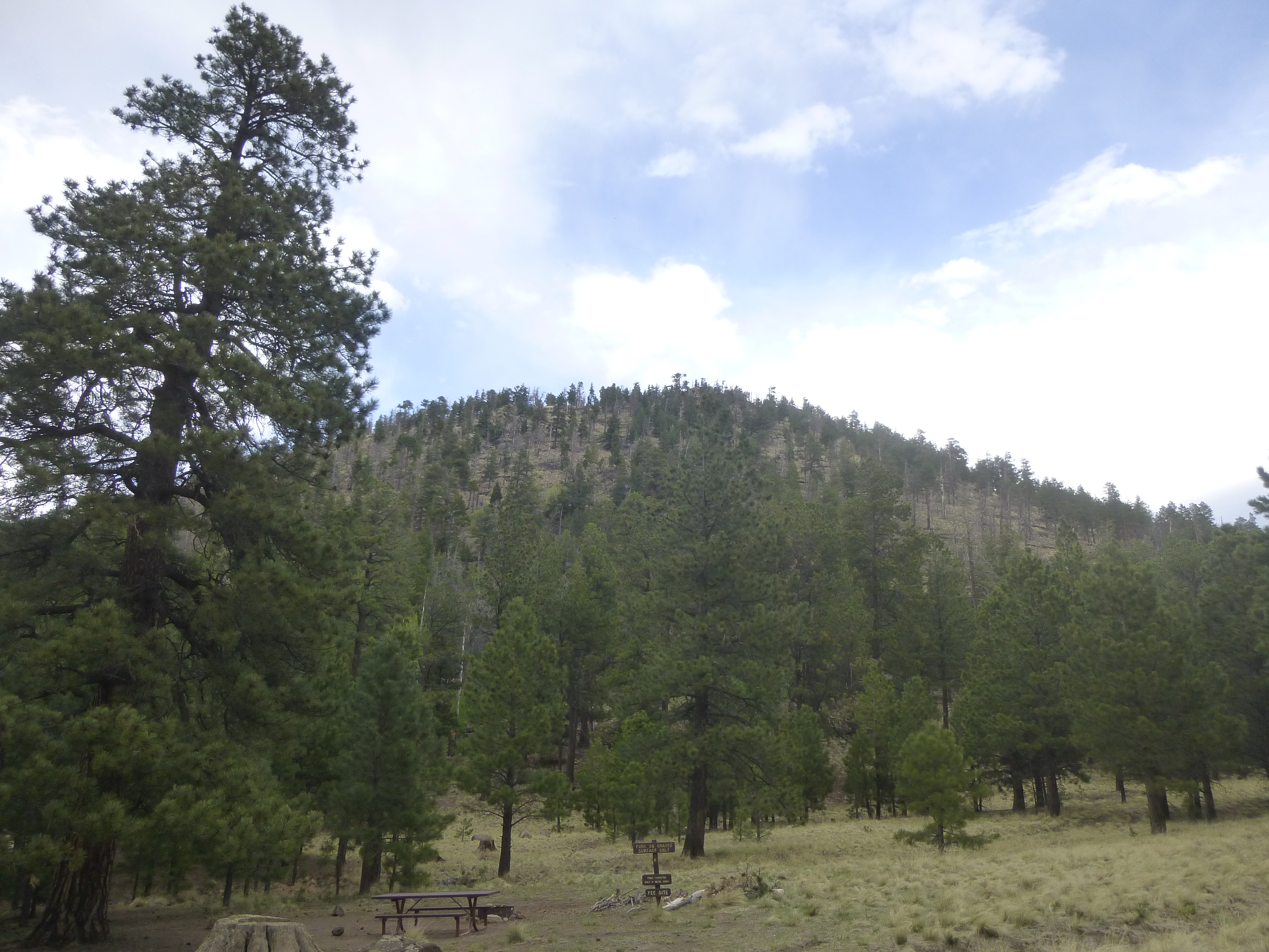
Sugarloaf
Its 800 vertical feet gave me a bit of a warm-up for what was to come tomorrow, and from the summit, I was afforded a good view up the valley I’d travel.
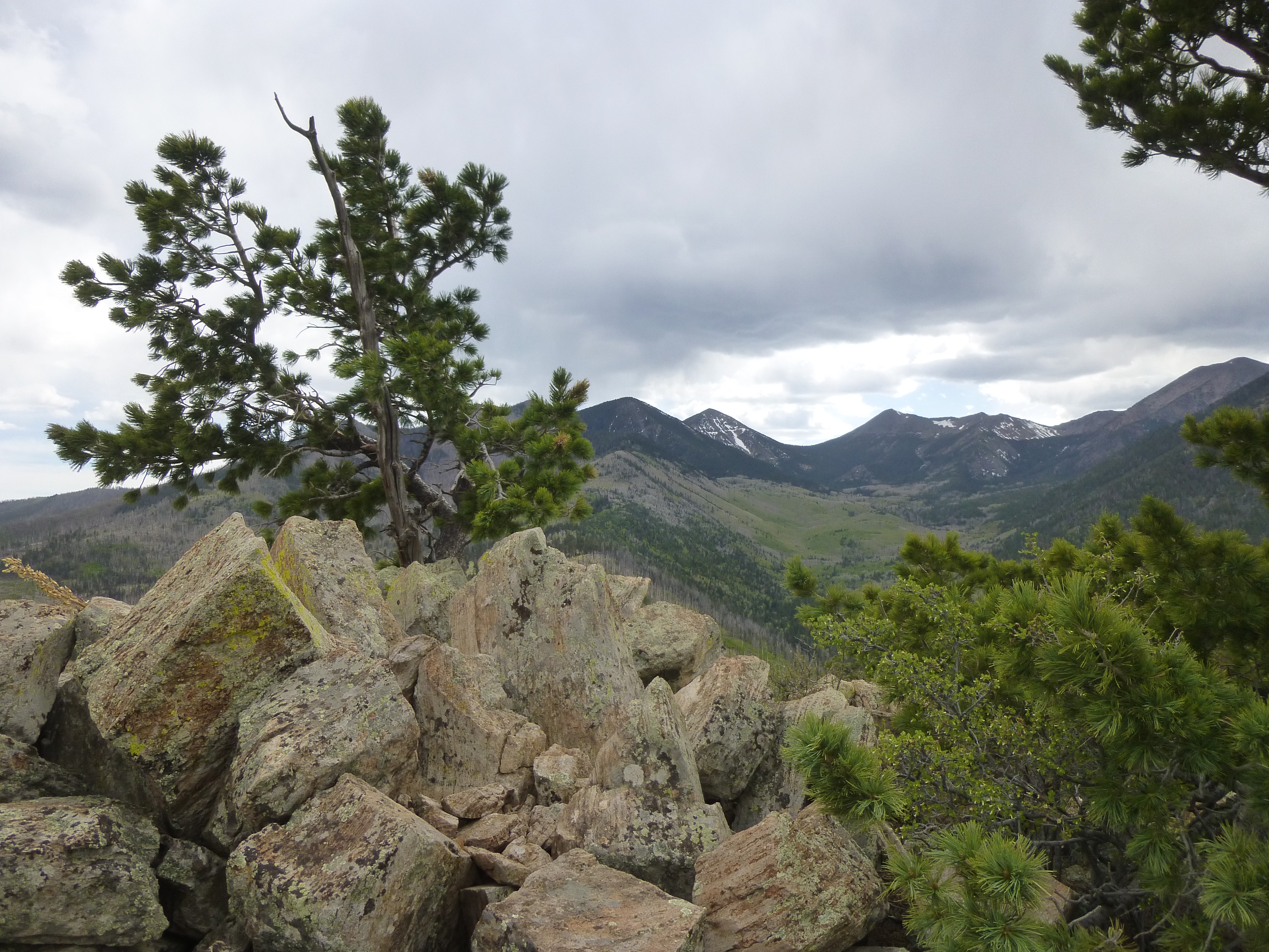
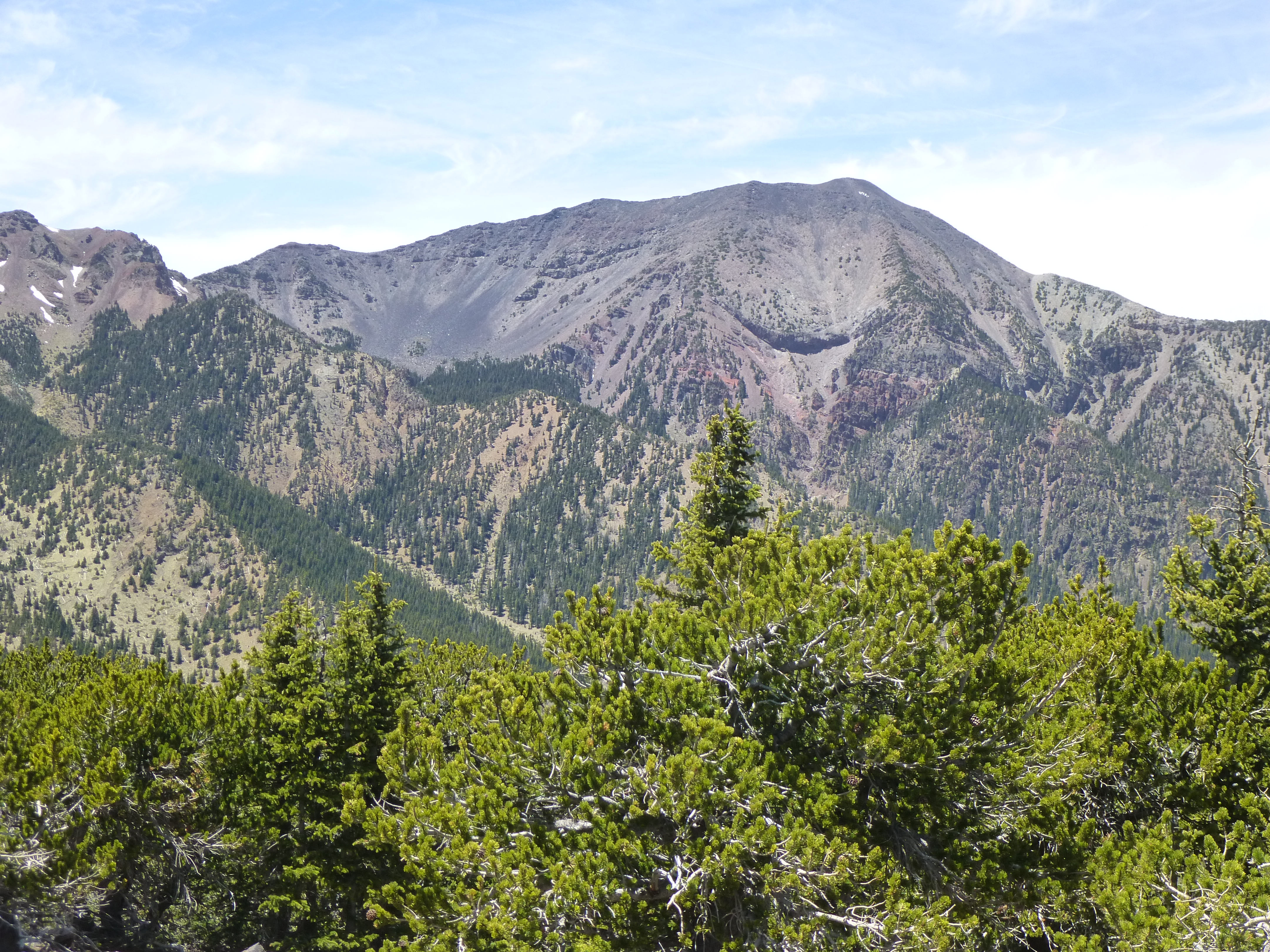
The Interior Valley
Back down at my campsite, a chill wind was blowing and a brief rain fell. I cooked a dinner and settled in. Although it was 100 degrees back home, here I enjoyed a brisk 49 degrees at bedtime.
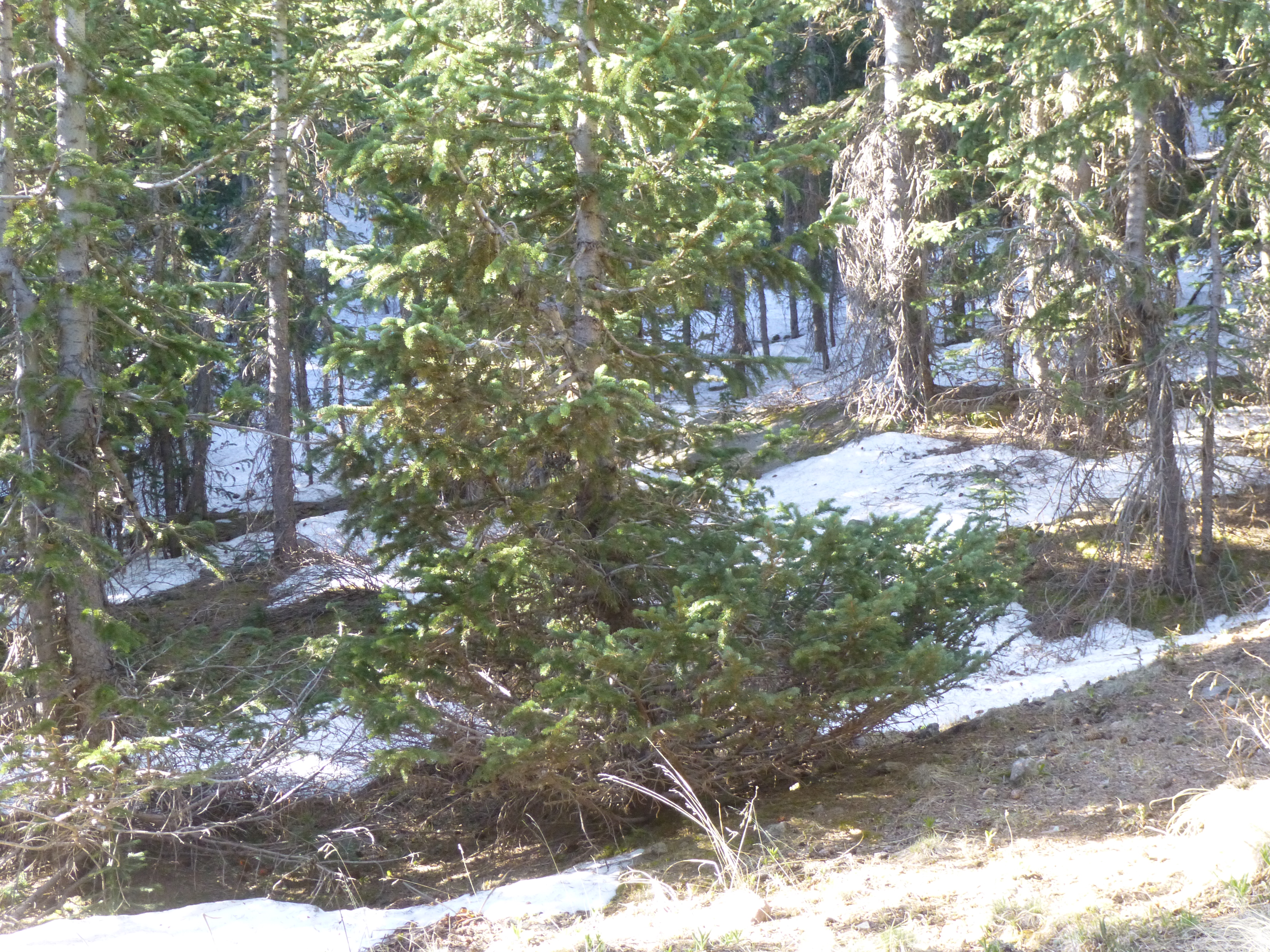
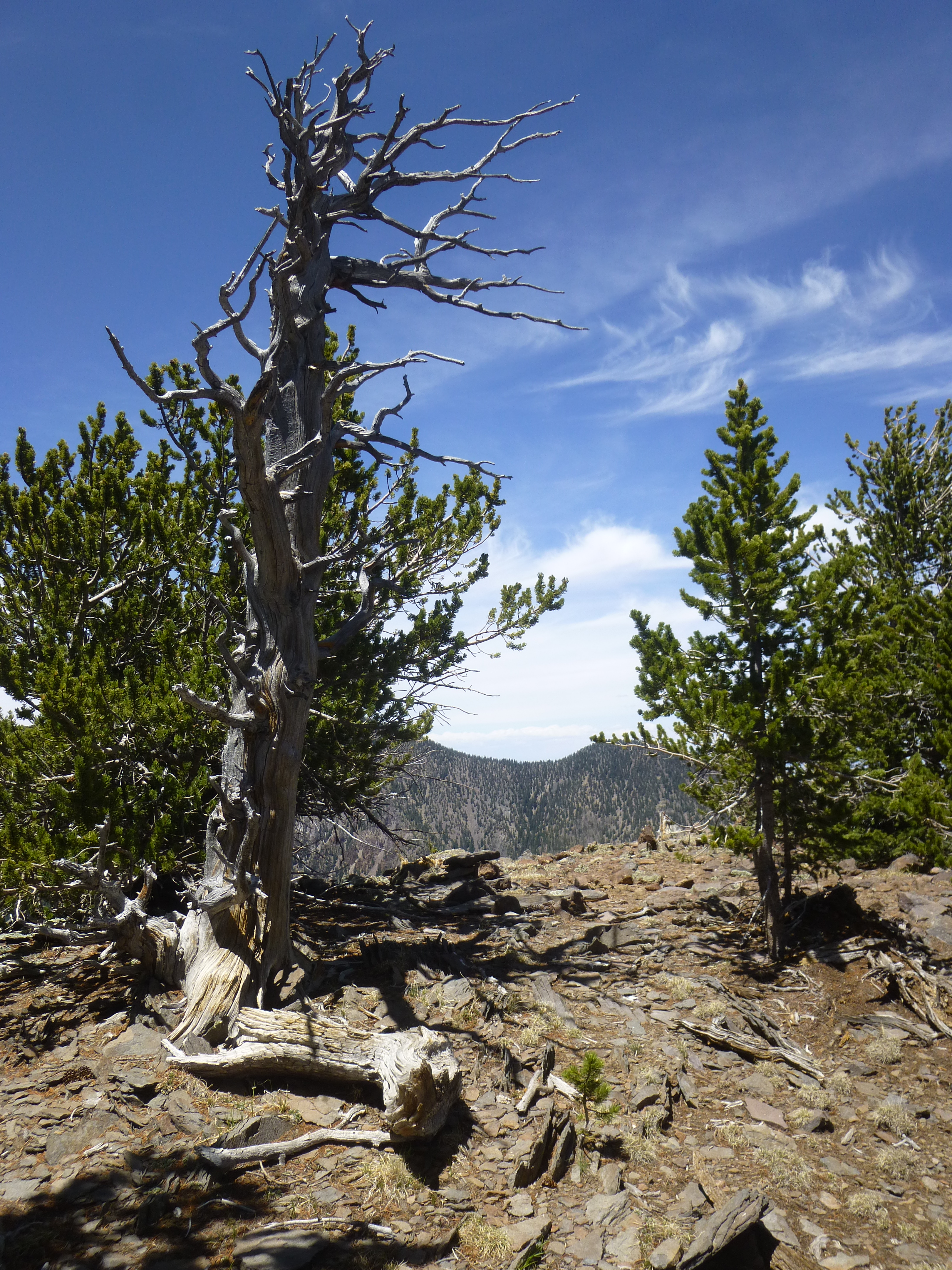
An even lower reading of 42 greeted me at 4:00 AM, when I quickly prepared for the long day ahead. Forty-five minutes later, I set out by headlamp along an excellent trail. Before long, I noticed the first faint light of dawn, and soon after that the tide of light poured down the mountainsides. The forest was magical.
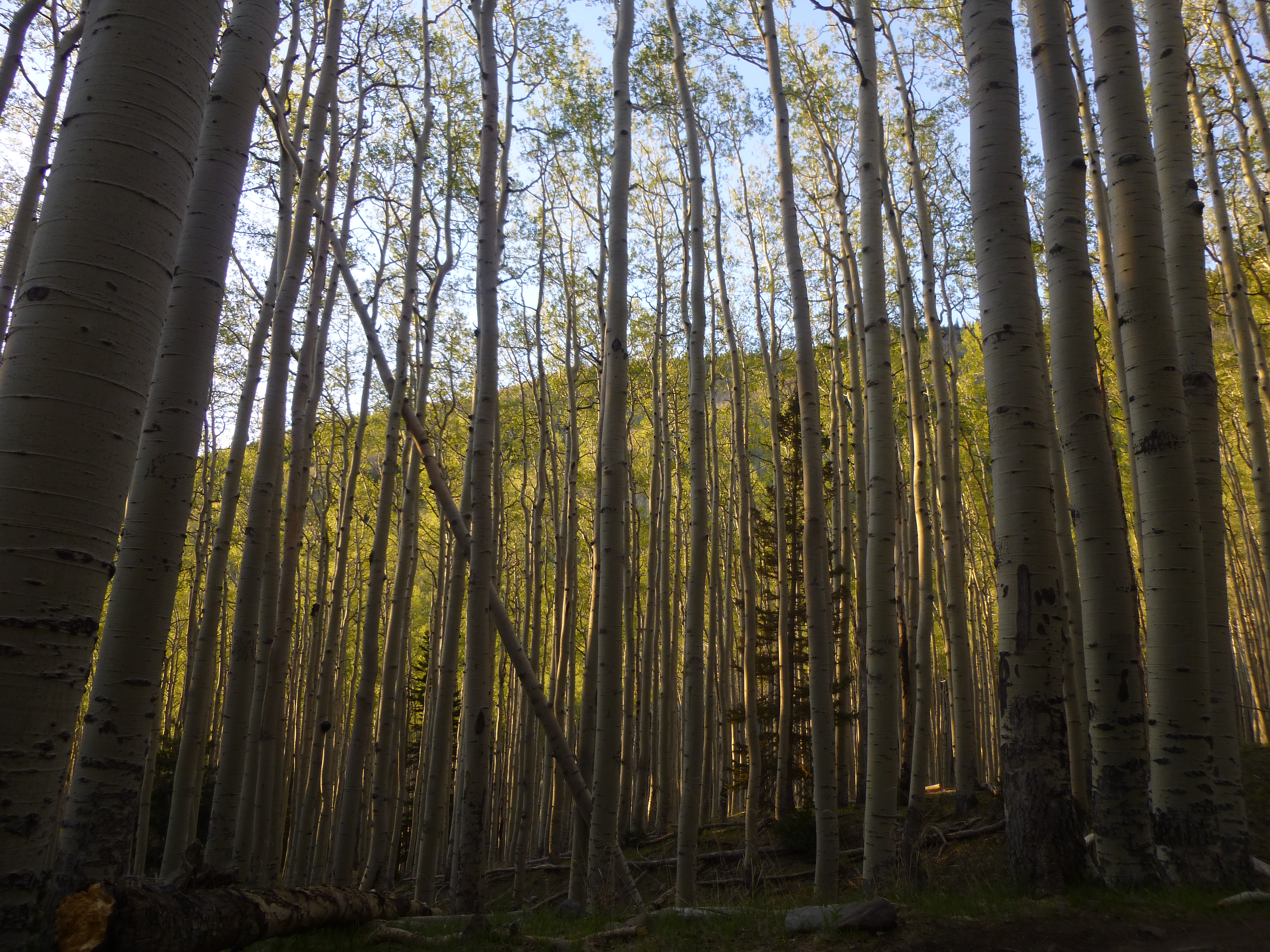
The forest at daybreak
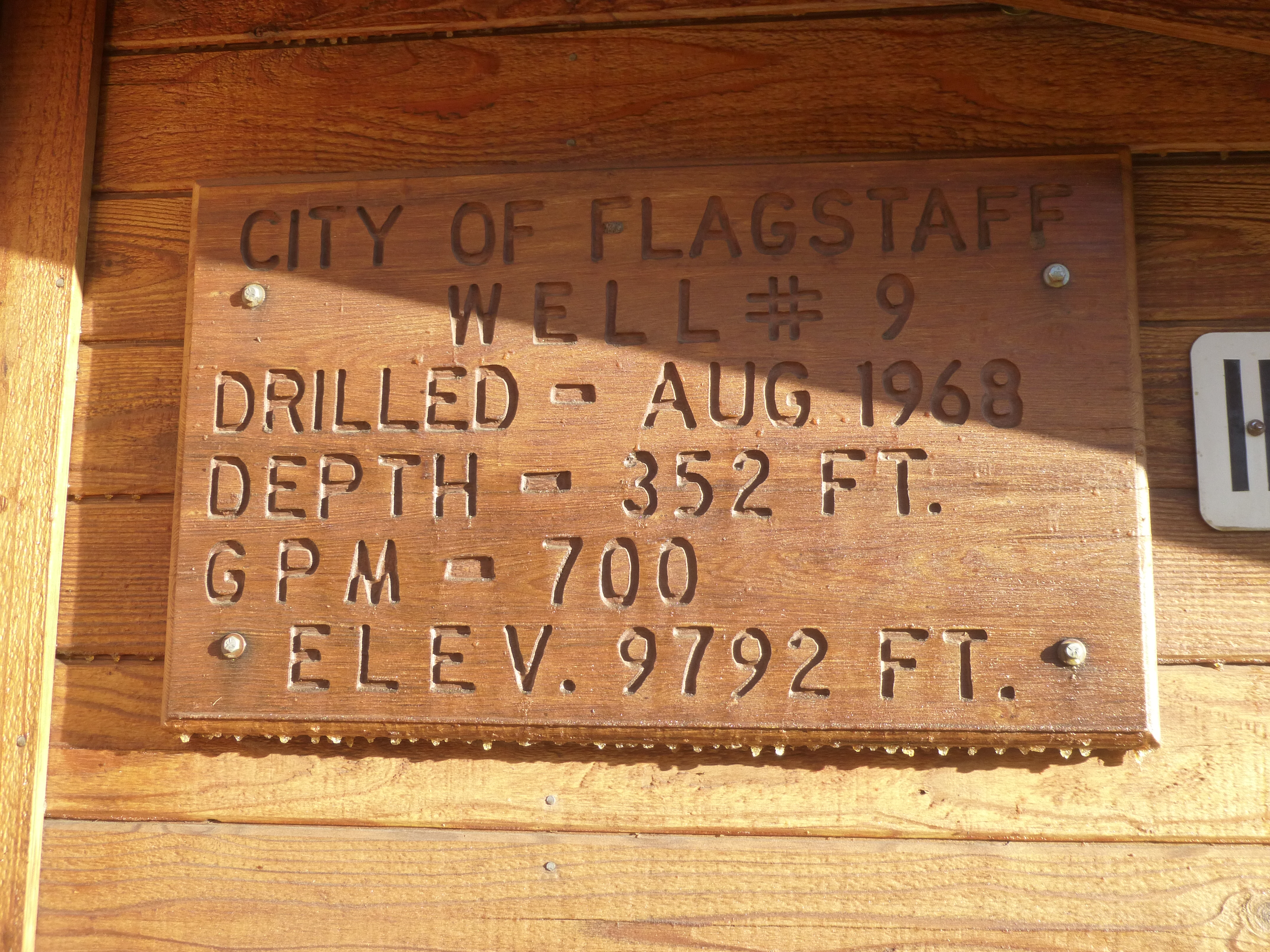
The trail ended abruptly at an excellent road, which I started walking. There were a dozen or more buildings along the way, all of which had something to do with the water supply for the city of Flagstaff. The road climbed relentlessly, finally emerging from the forest into what was known as the Inner Basin. Here was the uppermost of the buildings I passed.
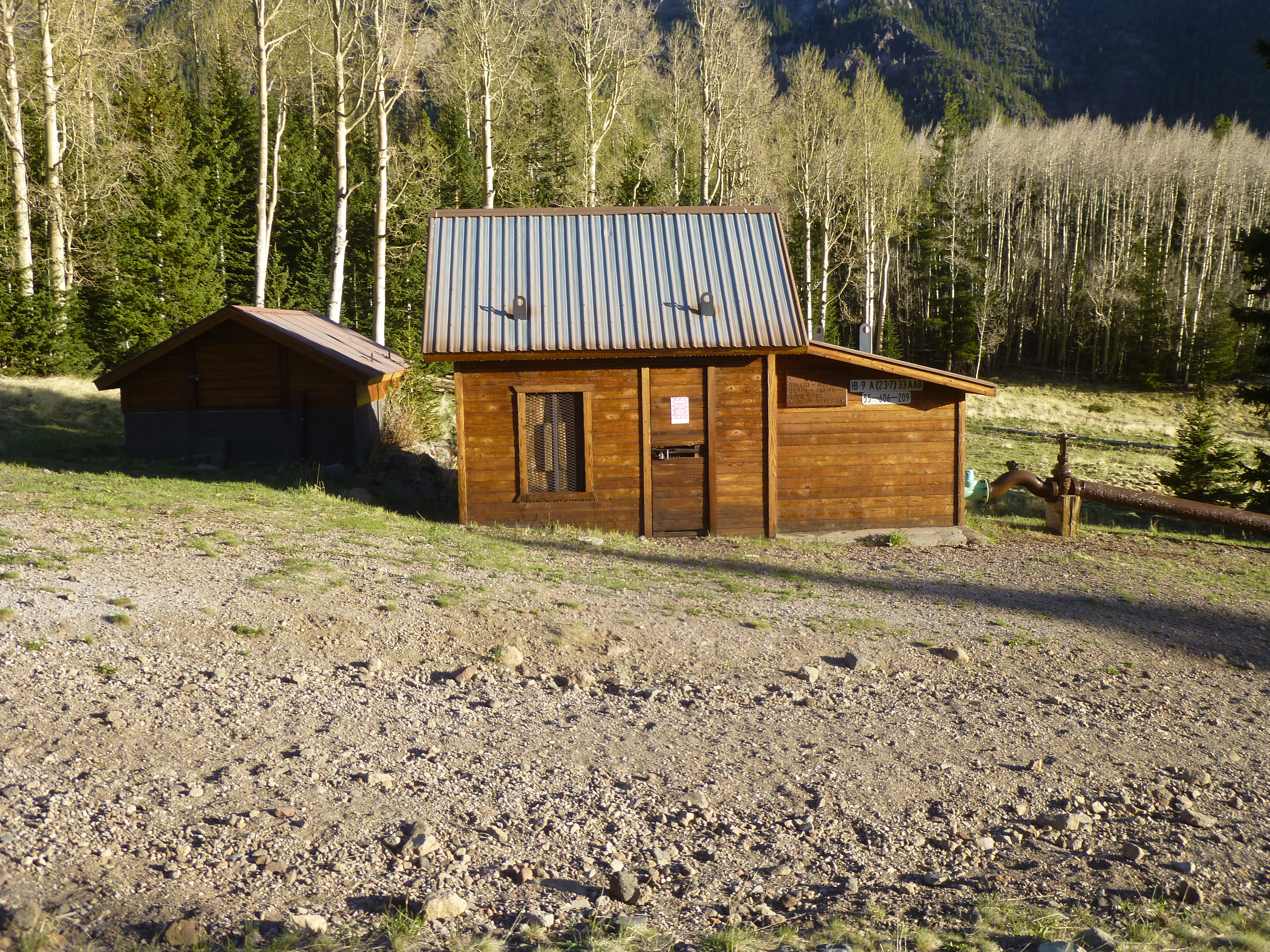
This sign showed that it housed a well.
This part of the Inner Basin was very open and afforded expansive views.
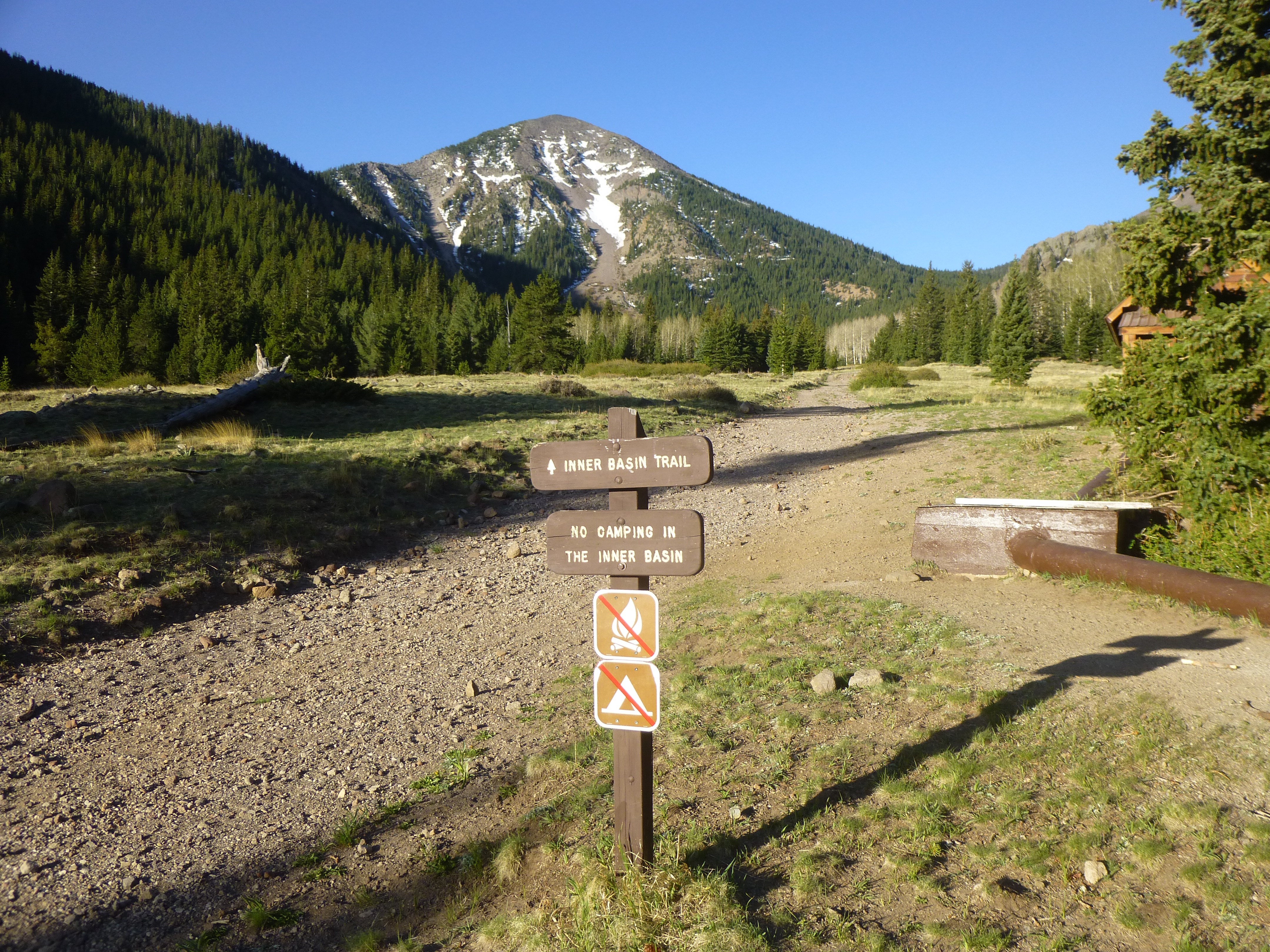
The Inner Basin
The Inner Basin is surrounded by high peaks – so high, in fact, that they are the highest in the entire state of Arizona. The paterfamilias of them all is Humphreys Peak, elevation 12,633 feet. The state’s #2 is Agassiz Peak at 12,356 feet. The number 3 and also the number 4 are here as well, and they were my objectives today. These high peaks almost form a complete circle, the only opening being the route I had taken today on the northeast side. Humphreys and Agassiz are the two farthest south-lying peaks in the contiguous United States which rise to a height of more than 12,000 feet above sea level. These San Francisco Peaks are a remnant of the former San Francisco Mountain, itself a remnant of a former stratavolcano. Prior to its collapse due to a lateral eruption to the northeast around 200,000 years ago, these peaks reached an elevation of 16,000 feet.
The open area of the Inner Basin soon ended as I continued southwest up the old road, and by the time I reached 10,000 feet it became a trail which entered the forest. Although the US Forest Service had told me that there had been a very light snowfall the previous winter, I started to encounter patches of snow in the forest, on the northern slopes.
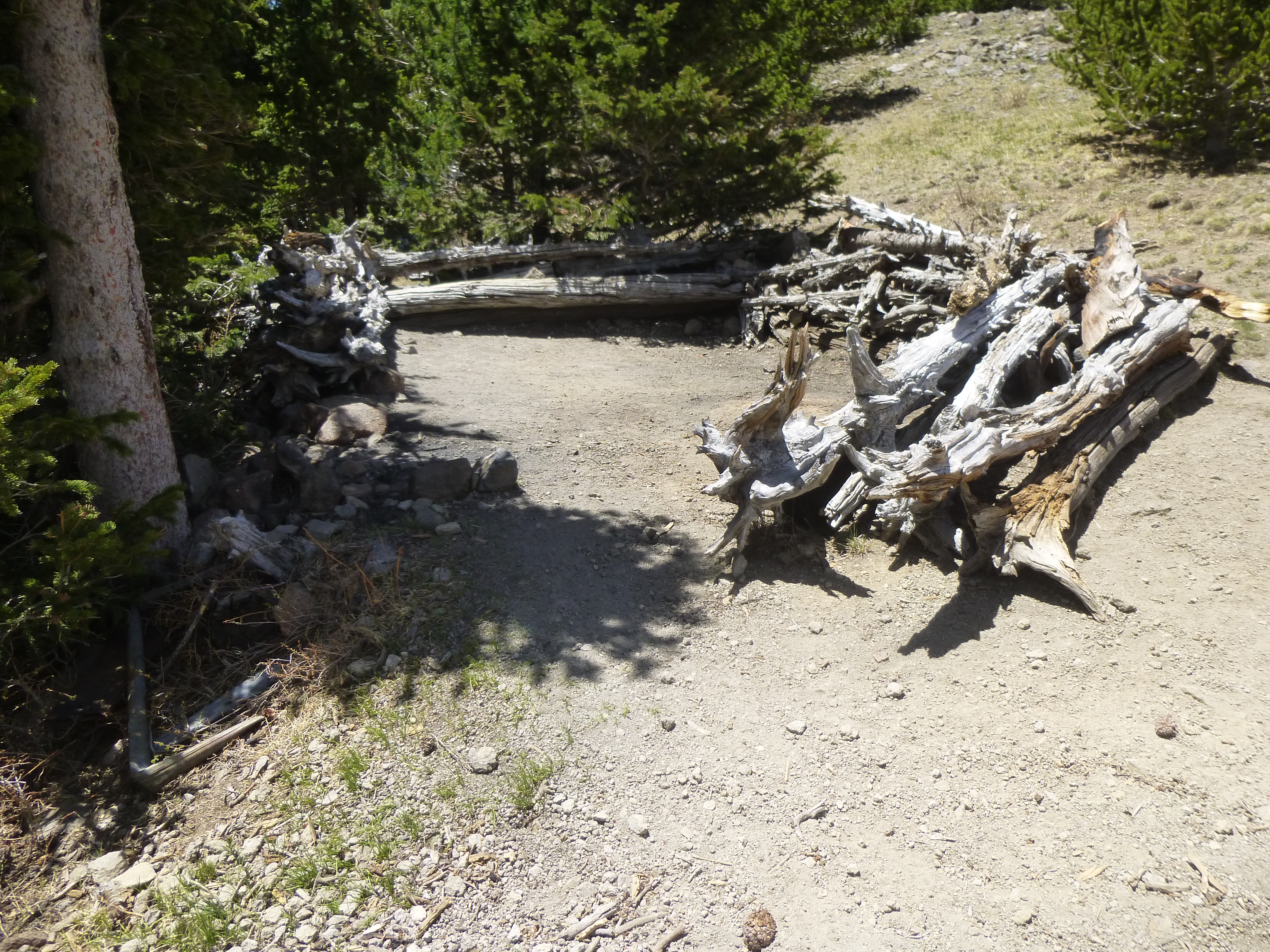
The trail climbed steadily, switchbacking its way up a ridge in the shaded forest to reach another trail at around 11,000 feet. That’s the one I next walked – at one time it was an old road, now shrunk to the width of a nice footpath. Finally, at 8:40 AM I reached Doyle Saddle at 10,800 feet. There, I saw the first other people of the day, 3 young couples who had camped there for the night. Here’s where they slept.
It was now time to do what I had come here for, to climb 2 peaks. The first one was Fremont Peak, elevation 11,969 feet. It took me an hour and a half to climb through decent bush and easy rock the 1,100 feet to its open summit. Here’s what greeted me on top.
The summit of Fremont Peak at 11,969 feet
Only the very top was above tree-line. I had an exceptional view of Agassiz Peak to the west. In the alpine tundra region of this peak is found the endemic and threatened San Francisco Peaks groundsel (Packera franciscana), found nowhere else in the world.
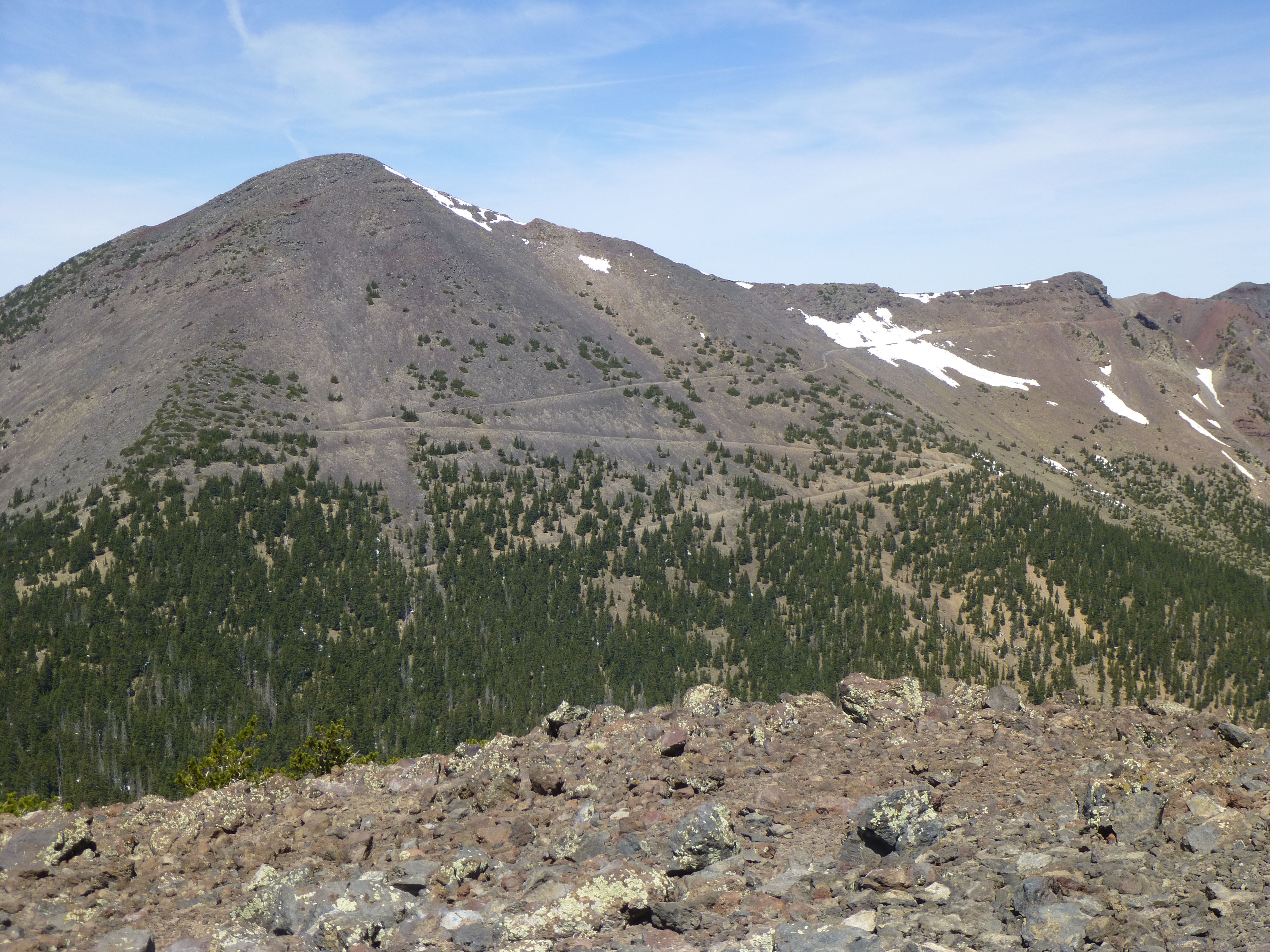
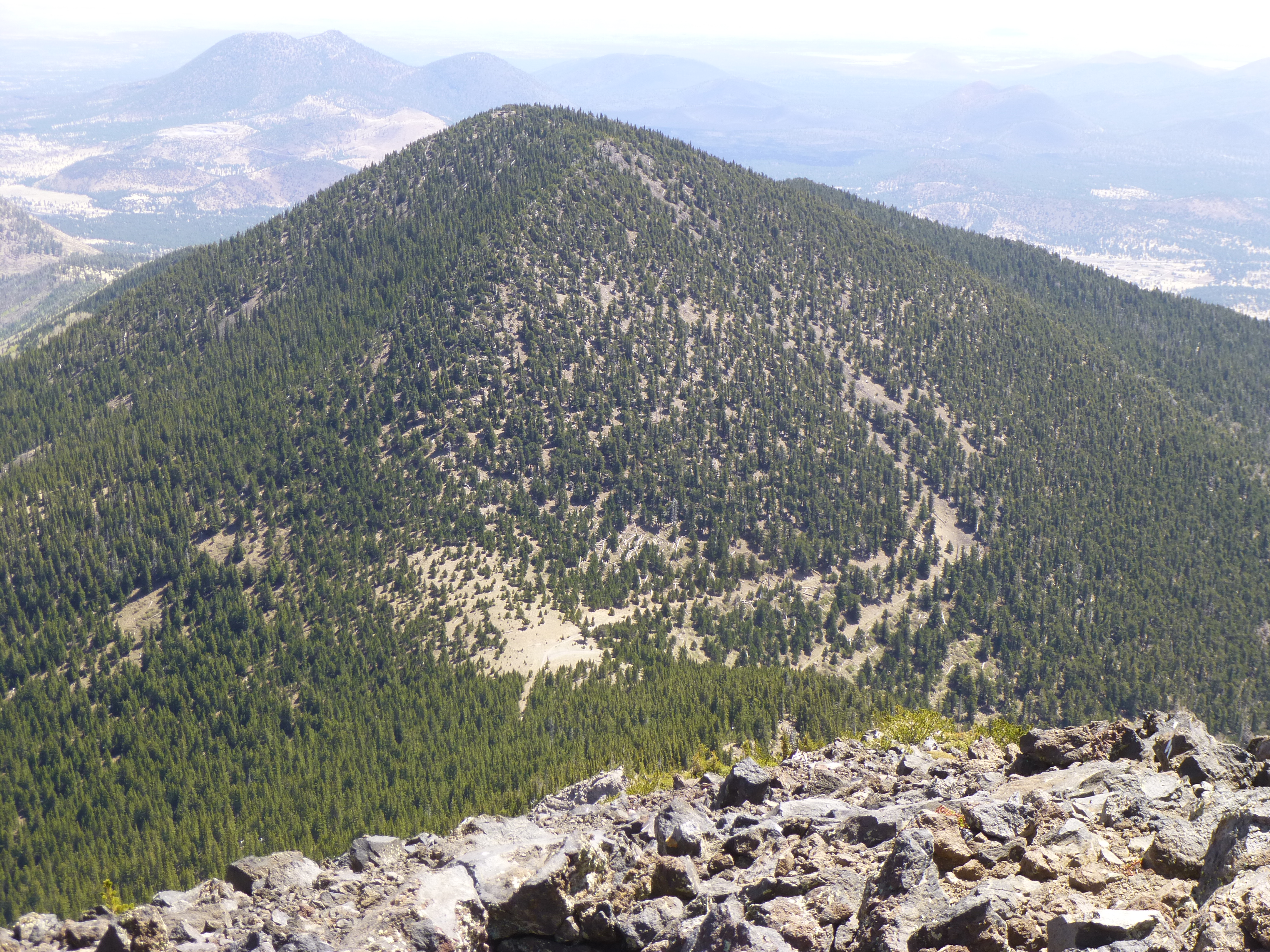
Agassiz Peak
So I was now standing on the third-highest peak in Arizona. In the above photo, you can see an old road which makes its way to the Agassiz-Humphreys saddle. Foot traffic is restricted to that path so as not to disturb the groundsel higher up on the mountain. It was 11:30 AM by the time I made it back down to Doyle Saddle. One more to go. It was an easy go of it up through the forest to the top of Doyle Peak – at 11,460 feet it was the 4th-highest in the state. Its summit was completely forested. I signed in to the register I found on the top, then started back down.
Doyle’s summit
As I made my way back down to Doyle Saddle, I was rewarded with these great views. Here’s a look up the northeast ridge of Fremont – it’s the route I used to climb, the ridge coming straight towards us.
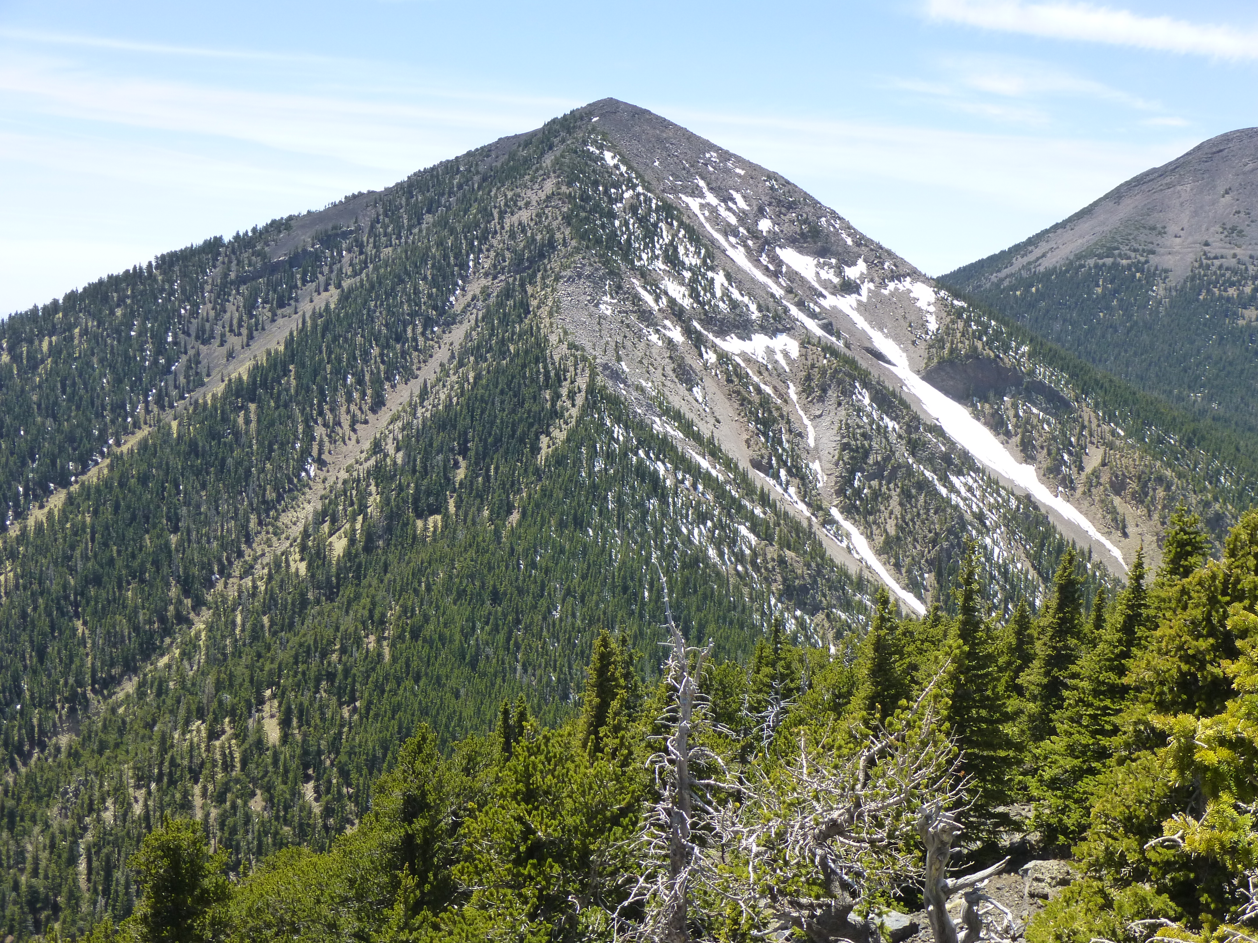
Fremont
And one more, a good view of Humphrey’s Peak, its east side and long south ridge.
Humphreys Peak
Okay, maybe one more – this is Doyle Peak as seen from Fremont Peak – we are looking northeast. Doyle Saddle (10,800′) is the large, open patch in the lower center of the photo.
Doyle Peak, 11,460 feet
This had been a good day – I had finally climbed Arizona’s #3 and #4 peaks. I was starting to feel it, though, and I still had to walk all the way back out to my vehicle. It was a quarter of two by the time I set out from Doyle Saddle. Yes, it was downhill all the way (mostly), but still a long way to go. As they say, the rest is history. I did stop to chat with several people I met lower down along the last stretch of trail before reaching my truck at the trailhead – I was surprised how late they had waited to head up into the mountains. A full 12 hours after I’d set out, I walked into the small parking lot – man, that truck looked mighty fine! The day exacted a toll of 4,935 vertical feet over a distance of 14.2 miles. I felt better than I expected I would when I finished, though.
So I’ve accounted for Arizona’s 4 highest peaks. The 5th-highest is known to many of us peakbaggers – Mount Baldy (elevation 11,420′). Technically, the summit sits on Indian land and is a stealth climb, but nevertheless has been done by dozens. So you might wonder, what is the 6th? That would be an obscure wooded summit known as Mount Ord, at 11,357 feet.
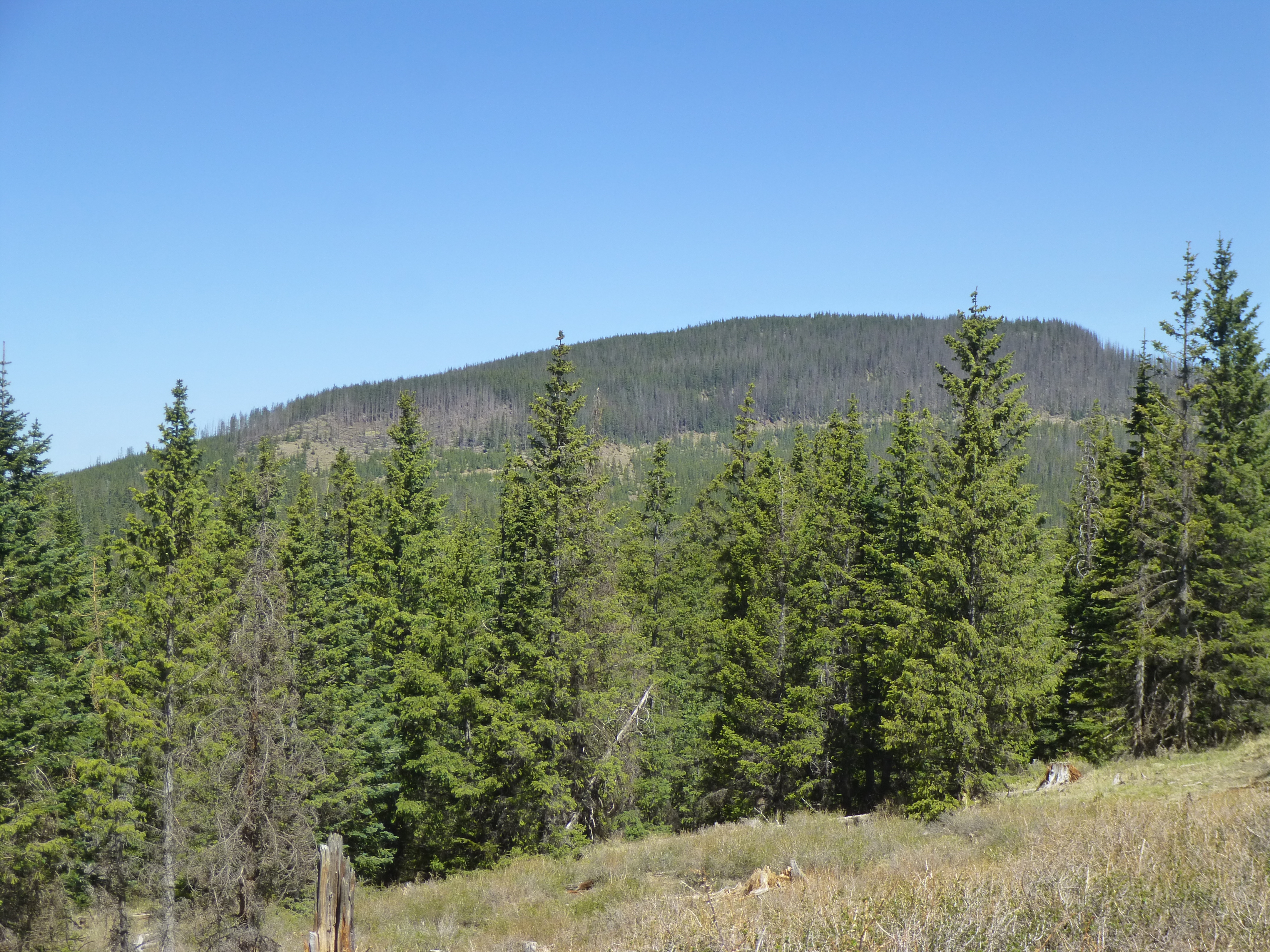
Looking northwest to Mount Ord
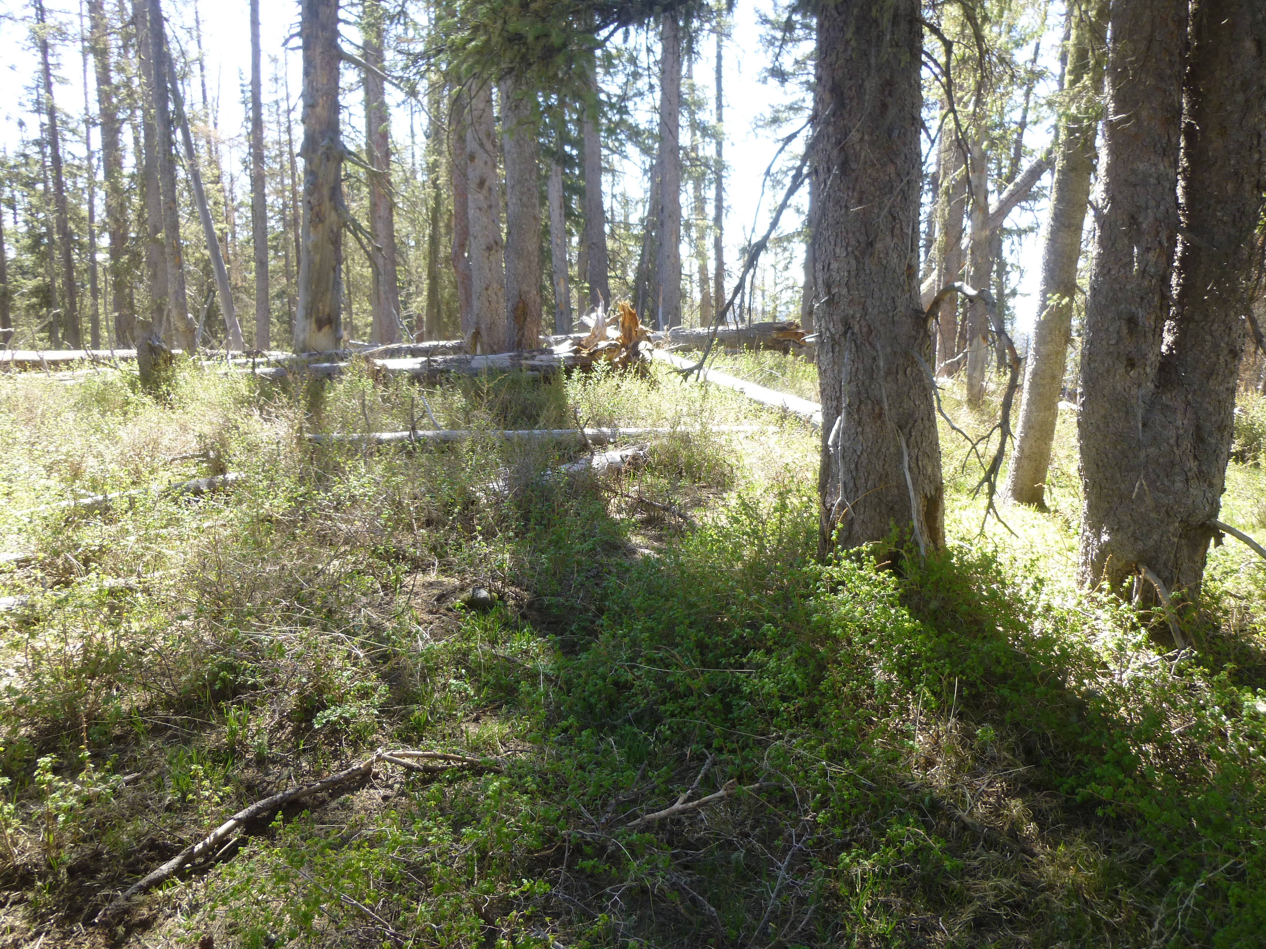
I climbed it one cold morning, up through open forest and then on to a small meadow. I knew of only 2 previous ascenders when I paid my visit. Here’s the benchmark I found near the top.
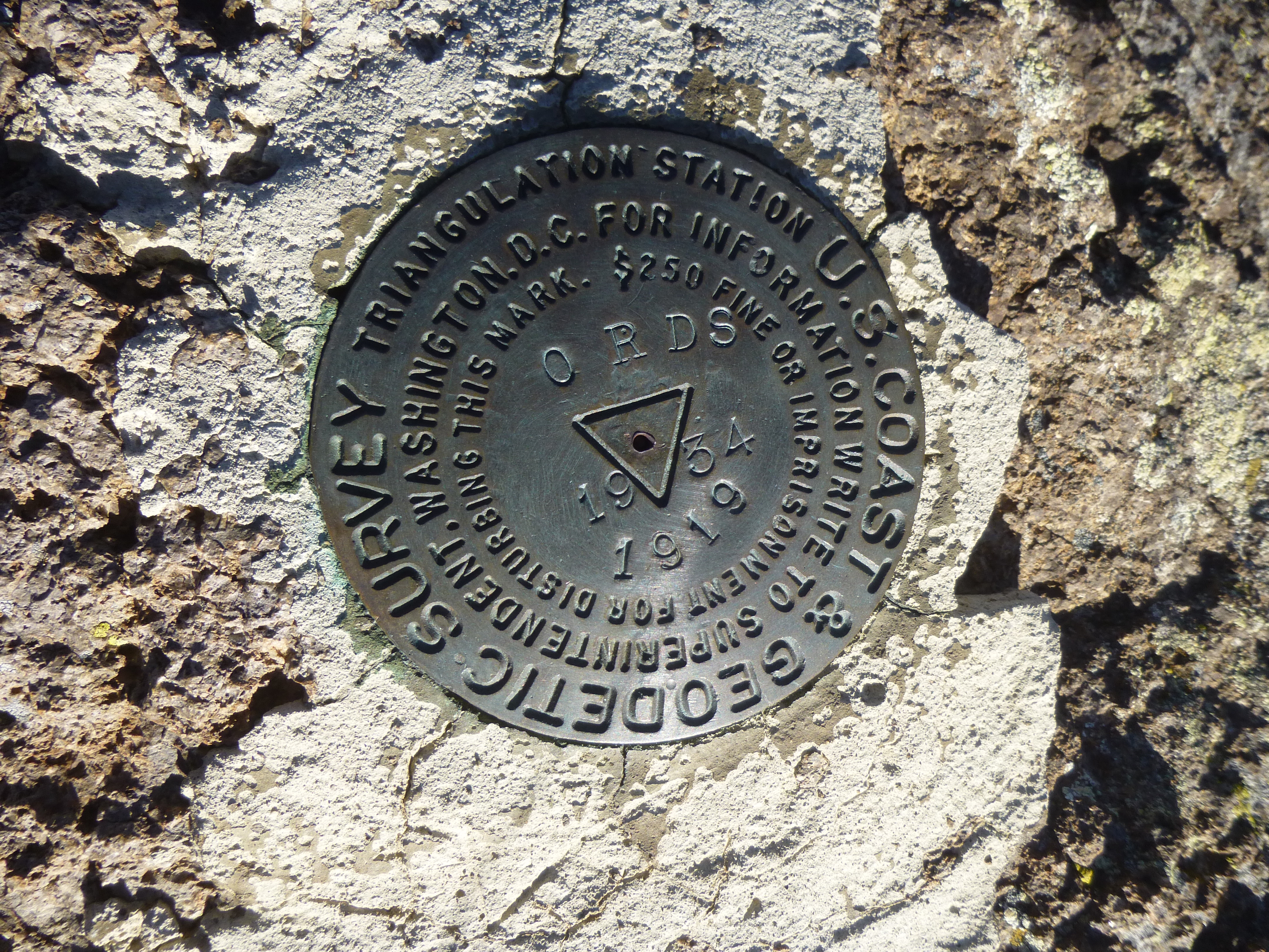
The benchmark
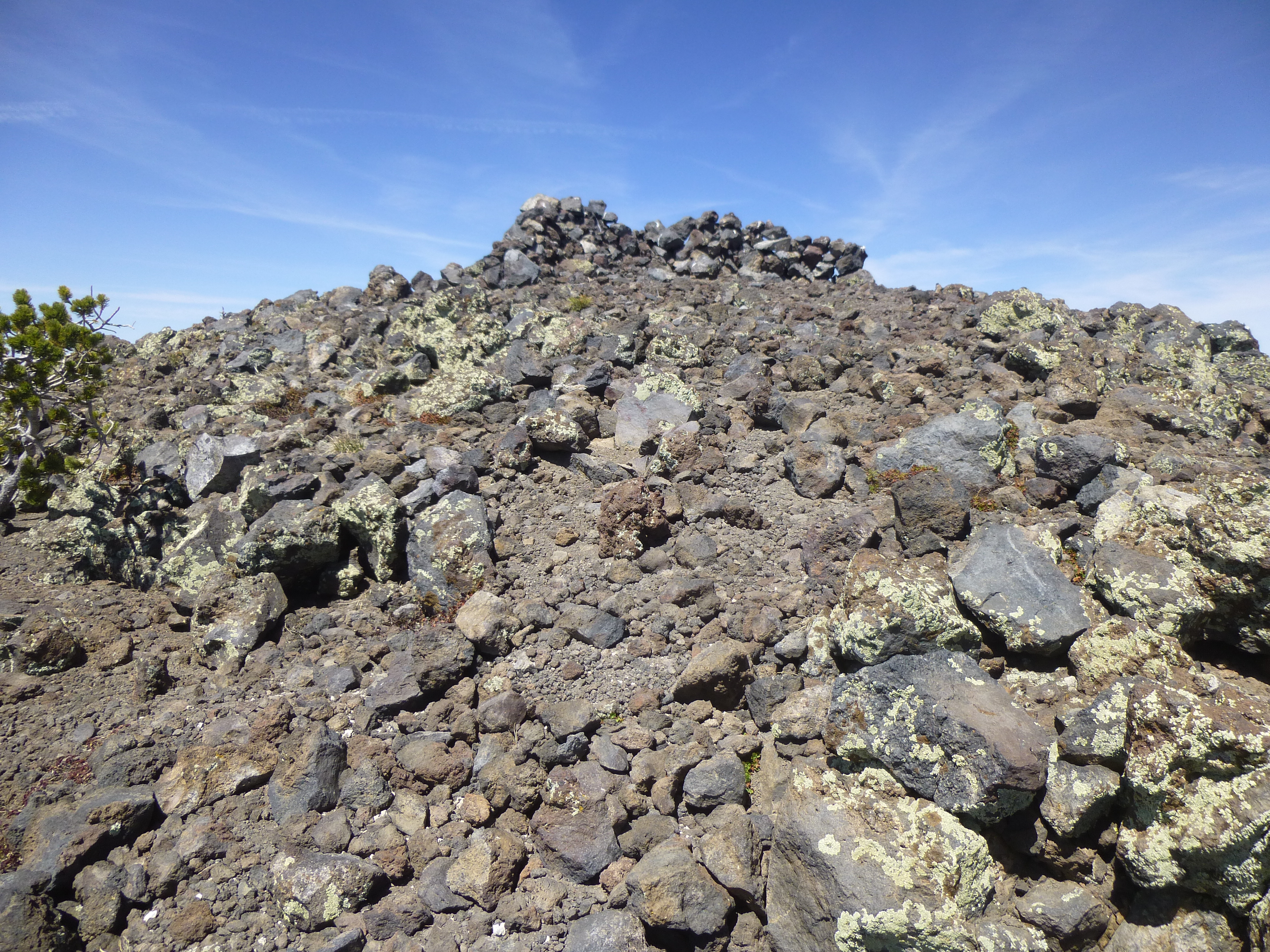
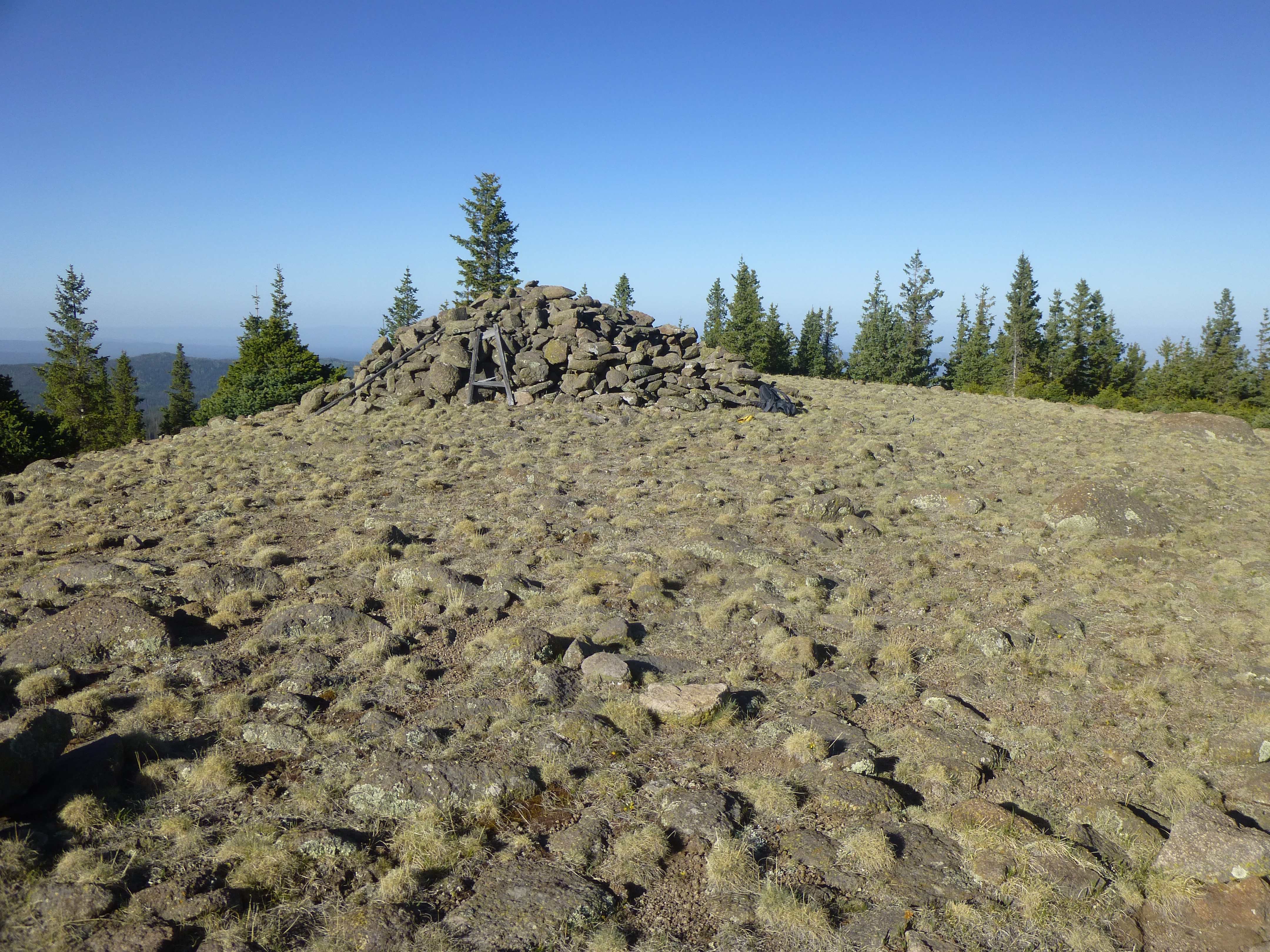
Someone had built a huge pile of rocks in the meadow.
Because it was freezing cold and windy, I soon headed back down through the bush to my truck. I’d only been gone about 40 minutes, and it felt good to get into the cab of the truck and out of the wind. There were other peaks to climb, so it was time to move on. I turned the key in the ignition and …………. nothing! What the hell!!! How could that be? I try really hard to keep my truck in tip-top shape – if something needs fixing, I take care of it right away. I had recently replaced the battery and alternator, so I felt pretty sure it wasn’t either of those. I tried over and over again to start it, but nothing – no loud clicking sound that would indicate a bad starter motor.
I had driven a full 2 hours to get to this spot, so my battery should have been fully charged. The voltmeter had been reading a charge that was right where it should have been. I hadn’t left the lights on. Still, I thought “what if the battery had run down?” Well, I was prepared for that too. I carry in the truck one of those emergency jump starter batteries. I took it out – it was fully-charged and ready to use. I hooked it up and tried again to start the truck – nothing! Now I was really worried. I was parked at 11,000 feet elevation. I was probably 15 miles from pavement, and I didn’t relish the idea of abandoning my truck and walking out for help, then having to explain why I’d been out there in the first place.
There was one more possibility, maybe one more thing I could try. Since my truck had a manual transmission, there was a way I could still possibly start it, and this was my last resort. If this failed, I was totally screwed. Many of you have heard of a clutch start, a bump start, a crash start, or, as I’ve always called it, a compression start. My mechanic prefers the term “push start”. It involves getting the vehicle rolling, then popping the clutch with the vehicle in gear and the ignition in the “on” position. This bypasses the starter altogether, and was now my only hope of getting my truck started.
I was parked on a long gentle slope and pointing uphill. If this was to work, I’d have to do it in reverse while rolling backwards. I got organized, removing anything that might hinder my movements, and carefully examined the spot where the truck stood. When I tried to simply release the brake and put it in neutral, the truck didn’t move. I got out and looked around. There were a few rocks on the road, a couple of them in my way, and those I removed. More importantly, though, there were tuffets growing in the road – small, only 4 or 5 inches high, but enough to prevent me from rolling. I got out my short-handled shovel and started working on them. Once done, it was time to try again.
I went to the front of the truck and pushed it downhill with all my might – the problem is I’m kind of short on might these days. I got it rocking a few inches, then a bit more, until finally it started rolling unhindered. I ran up to the driver’s door, flung it open, awkwardly jumped into the driver’s seat as it tried to run me down. I only had a few seconds to do this. Because it was rolling without the engine running, I had no power steering, making the truck very hard to control. Once sitting down, I pushed down on the clutch pedal, turned the ignition to the “start” position, put it into reverse and released the clutch, all within a couple of seconds before I ran off the road. It worked!!! The engine fired up right away, my power steering returned to life, and I carefully steered down the long slope in reverse. The reason this was all so intense was that if I had gone off the road, I would have rolled down a steep, open slope, out of control, and crashed into the forest 300 feet below in a ball of flame.
A quarter of a mile down the road, I slowed down and turned the truck around. Now, I was paranoid about turning off the engine, in case it wouldn’t start again. There was more climbing I had planned to do in the area, but dare I risk it, so far from help? Well, I was pretty sure I could push start it again whenever I wanted, and another of my peaks was along the way out (with less than a mile detour). What the hell, let’s go for it! I drove to the next peak, parking very carefully with my nose pointing downhill so I’d be assured of a start.
It was a steep, uphill climb through the bush to a saddle, then a 250-foot climb up a gentle slope littered with deadfall and brush. As on Mount Ord, there was no register here on the summit of Paradise Butte, elevation 11,150 feet, the 7th-highest peak in the state.
Paradise Butte summit
A steep descent through snow-choked bush brought me back to my truck, and I got out while the getting was good. It had been a great trip, and it proved to me that it’s still possible to get good and high in Arizona.