
Abajo is a Spanish word, and in the context of this story means “low”. But for me, it seems an odd word to describe a mountain range which rises to well over 11,000 feet above sea level. The nearby town of Monticello, Utah sits at an elevation of 7,000 feet, so the Abajo Mountains don’t appear to rise as dramatically above their surroundings as some other ranges such as the Henry and La Sal Mountains. This makes their summits seem not as high as in other ranges, so long ago someone came up with the name Abajo to reflect that.
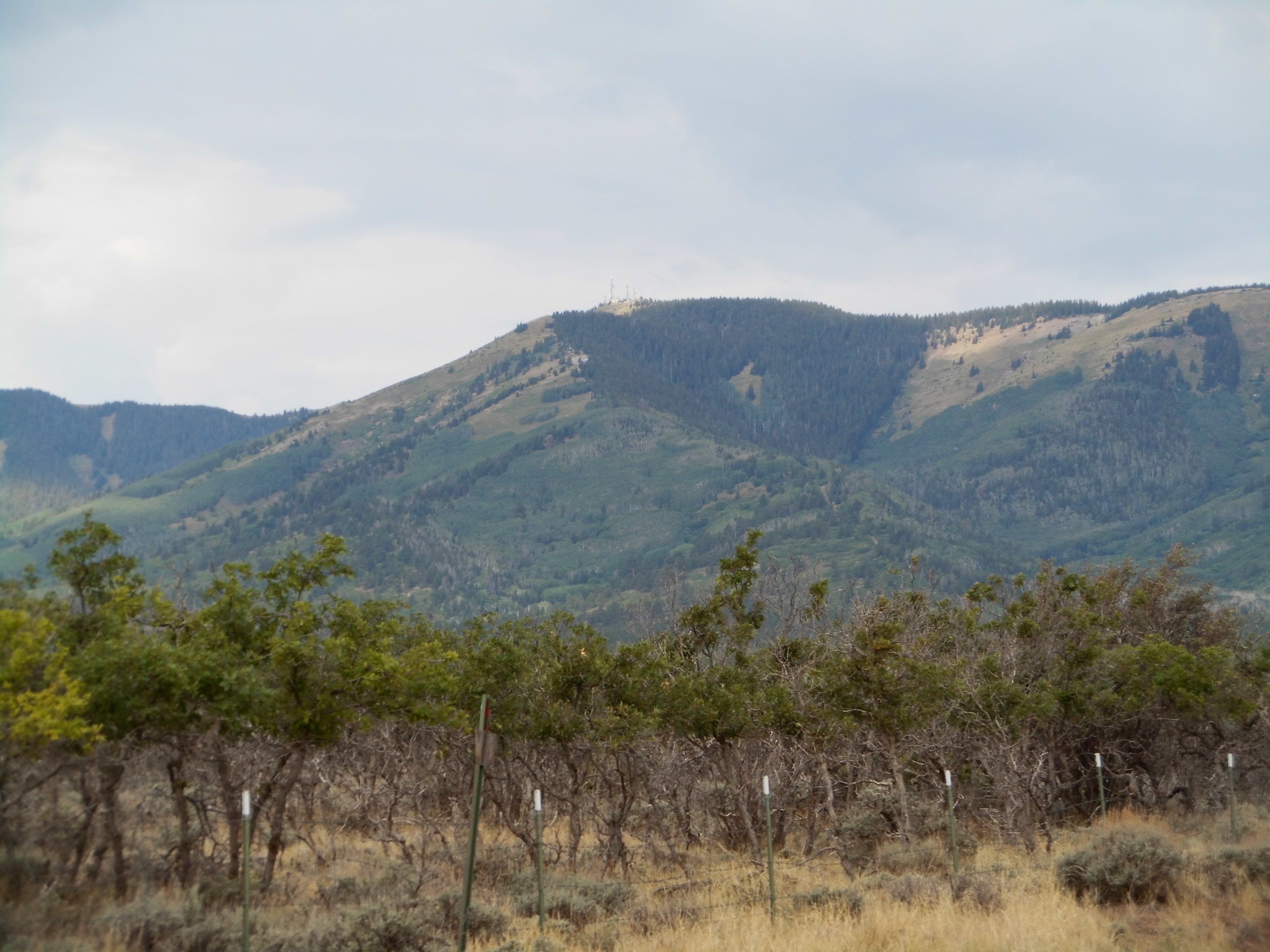
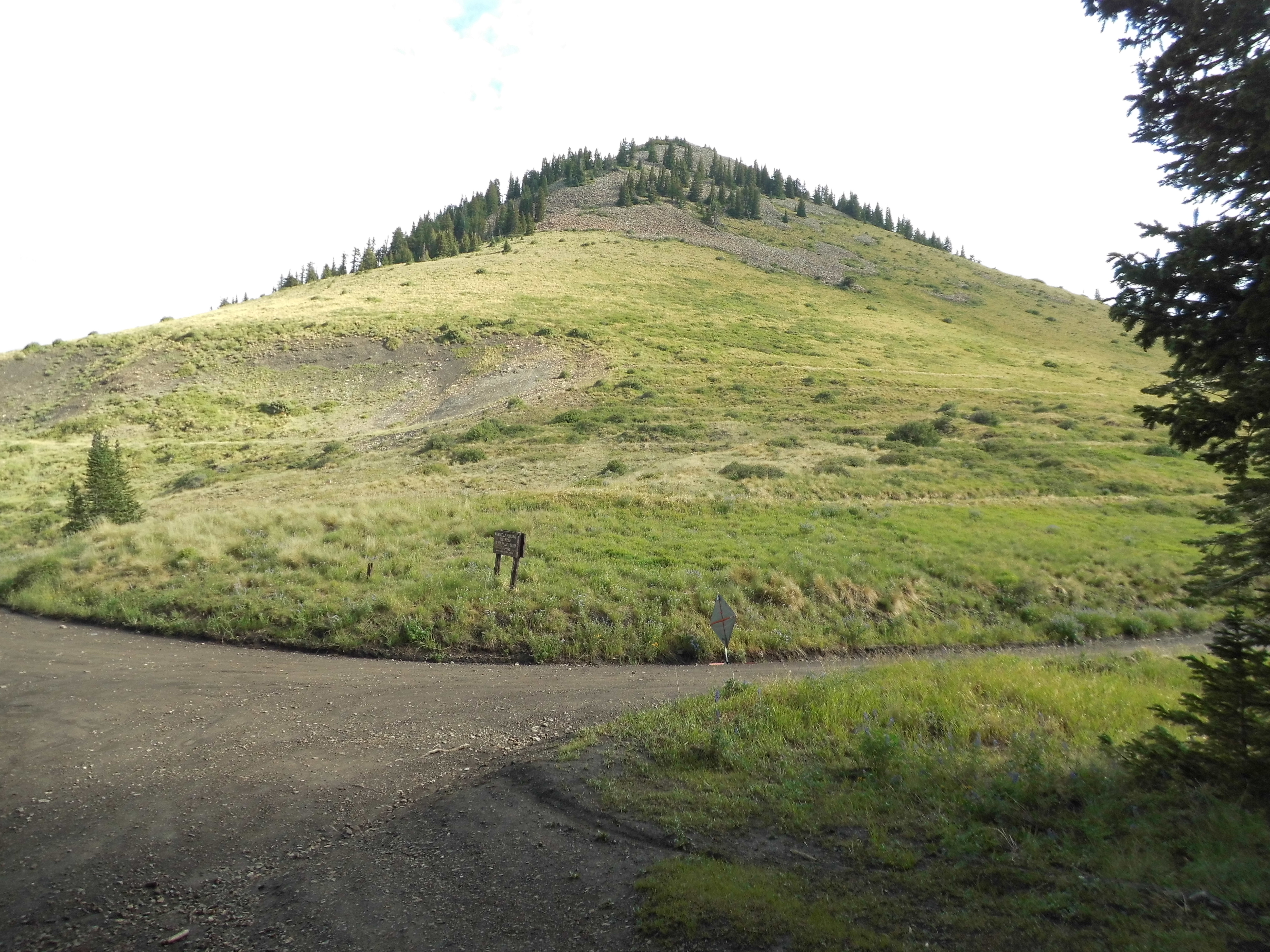
It was July, one very hot month in my desert home, and I wanted to go someplace high and cool to get away from the heat for a while before I had to go back to my teaching job. From what I’d seen on-line, this mountain range offered high peaks and good access, so away I went. I drove north as far as Flagstaff the first day, and the afternoon of the second found me asking for directions in Monticello. Before I knew it, I was driving up an excellent dirt road and into the high country. From low down, I could see all the way up to the peak I wanted. Here’s my first look – not overly impressive, I know.
The high point of the range
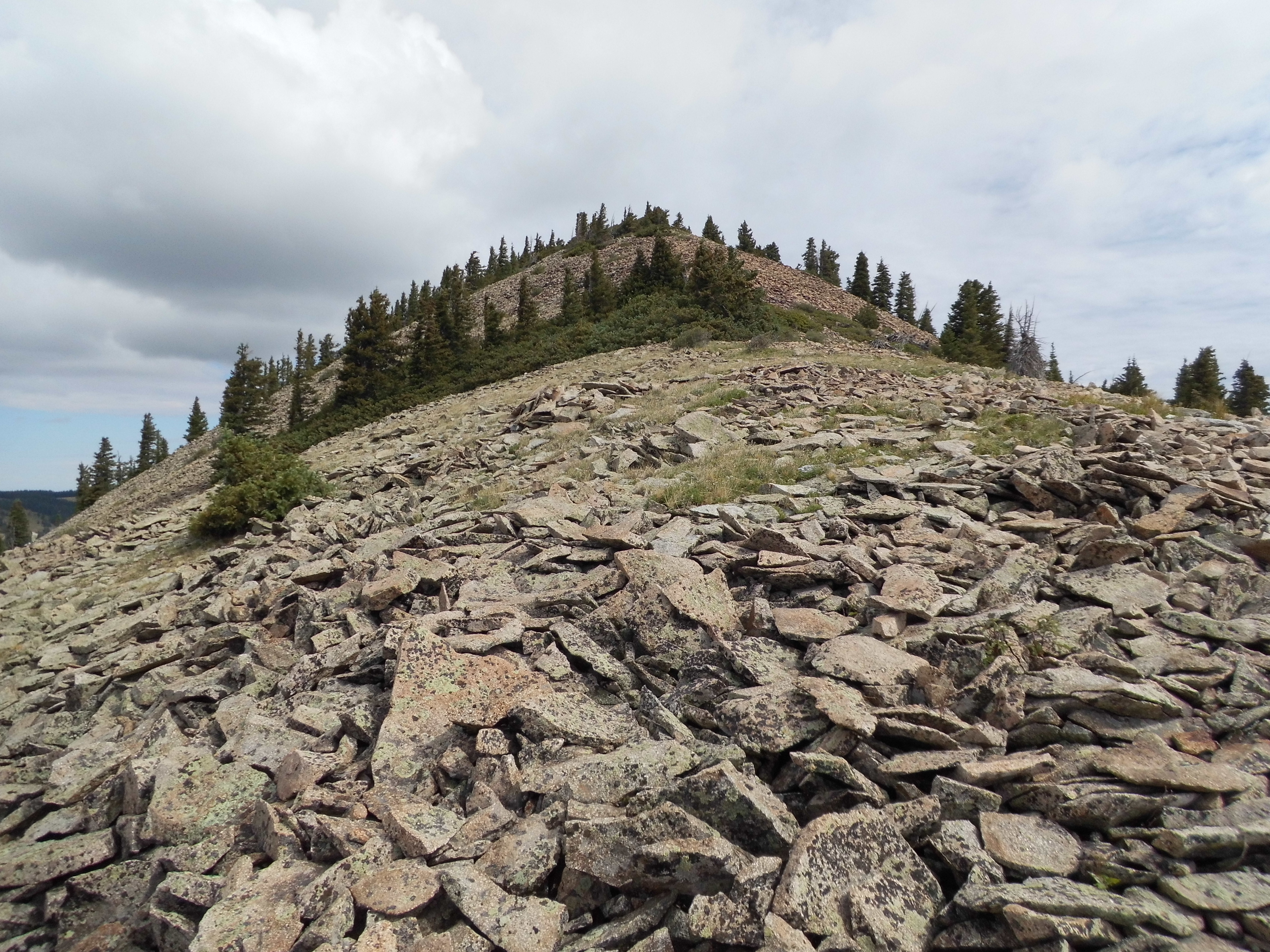
The road climbed continuously, and I was really impressed how well it was graded – honestly, you could have driven a Cadillac up it. As I neared the top, this was the first good, close-up view I had.
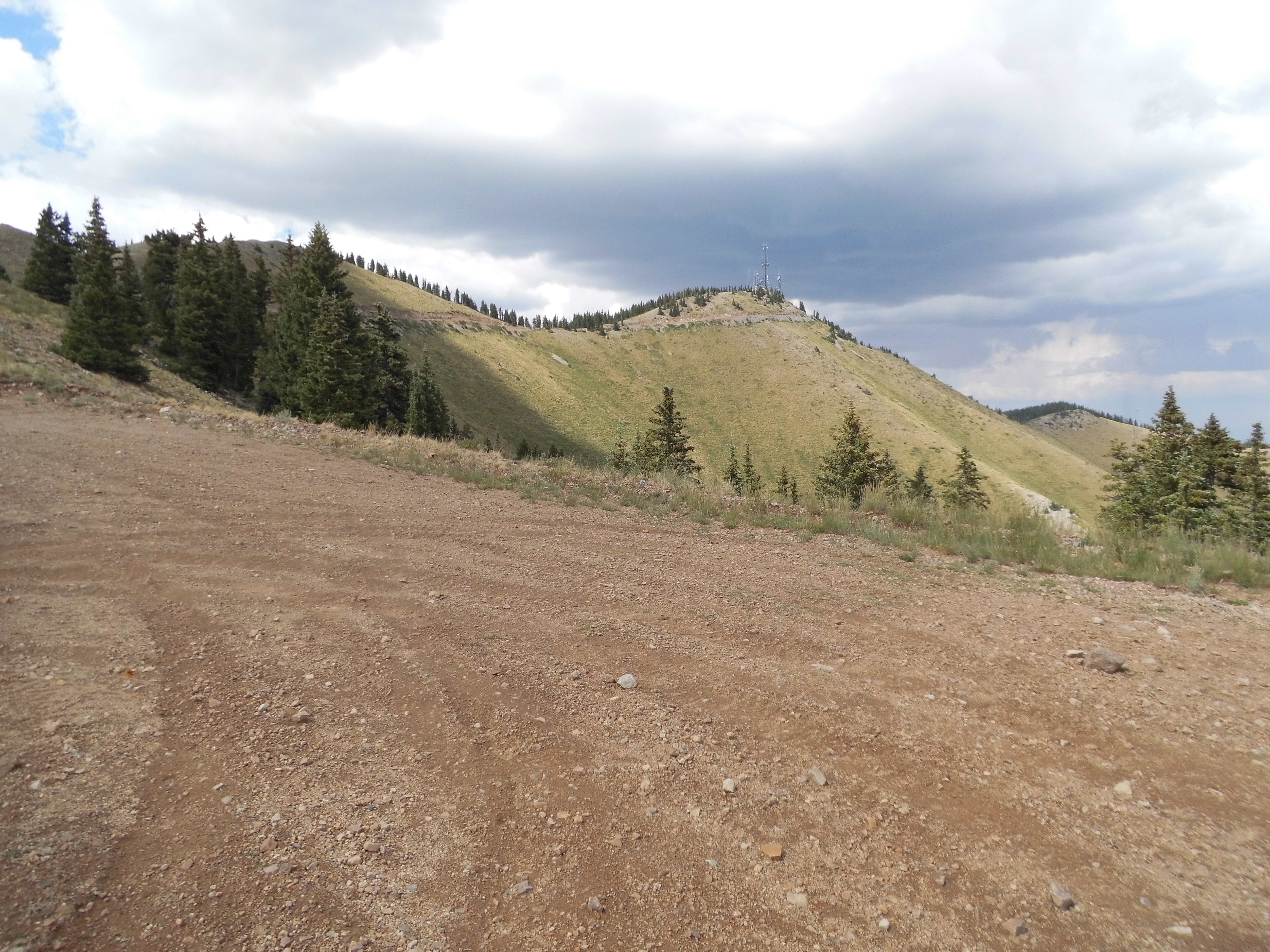
Getting closer
At 3:50 PM, I rolled on to the summit of Abajo Peak, at 11,360 feet the high point of the Abajo Mountains. This was one where you truly did drive to the summit – where I stopped, there wasn’t anything to climb, I was right there.
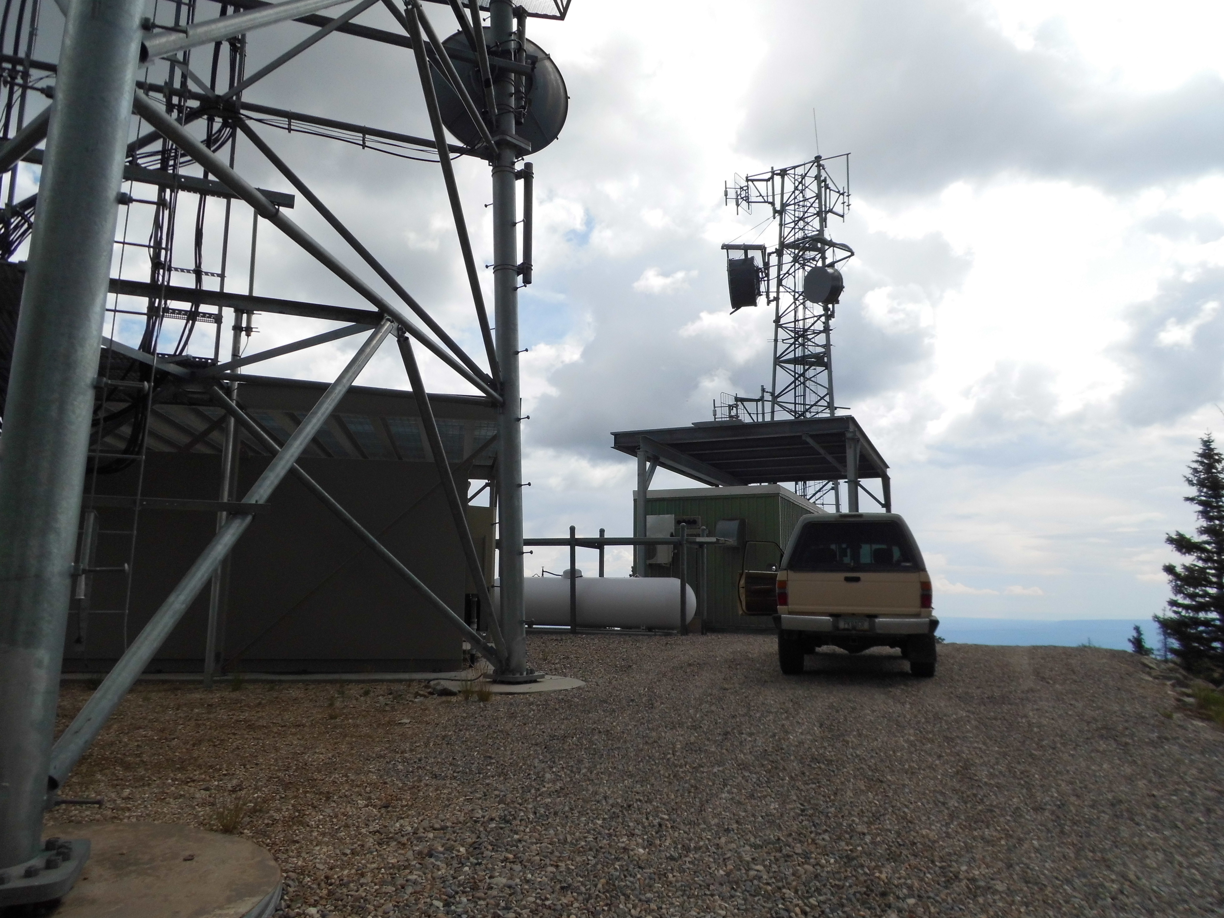
The very top
The moment I stepped out of the truck, I was met with a mighty crack of thunder which put the fear of God into me. Wasn’t going to linger there, nope. I turned right around and drove back down. Soon after that, I met a Native American family gathering pine cones along the roadside – the thunder didn’t seem to bother them. I found a perfect place to camp nearby – Dickson Pass, elevation 10,452 feet.
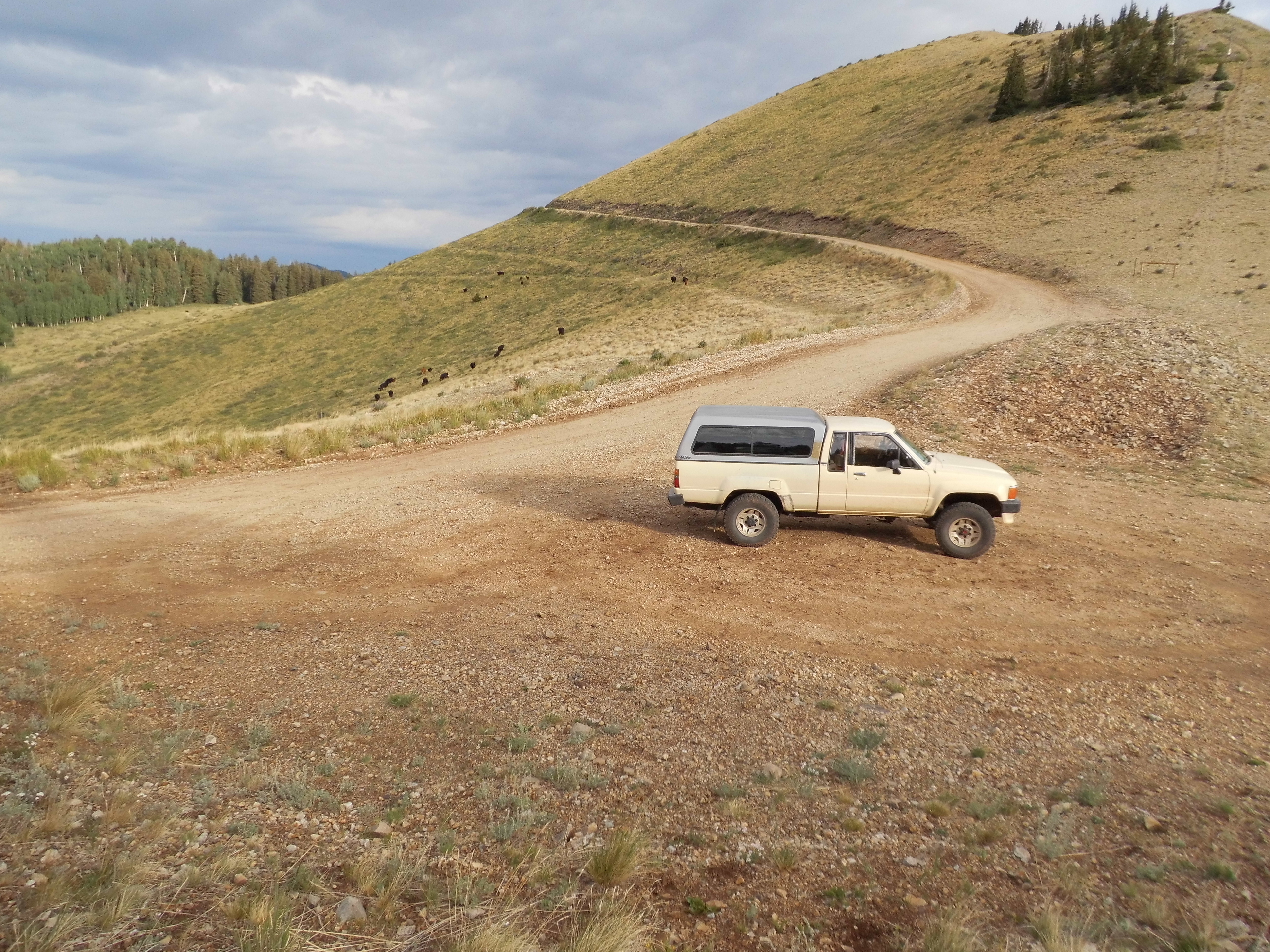
Dickson Pass
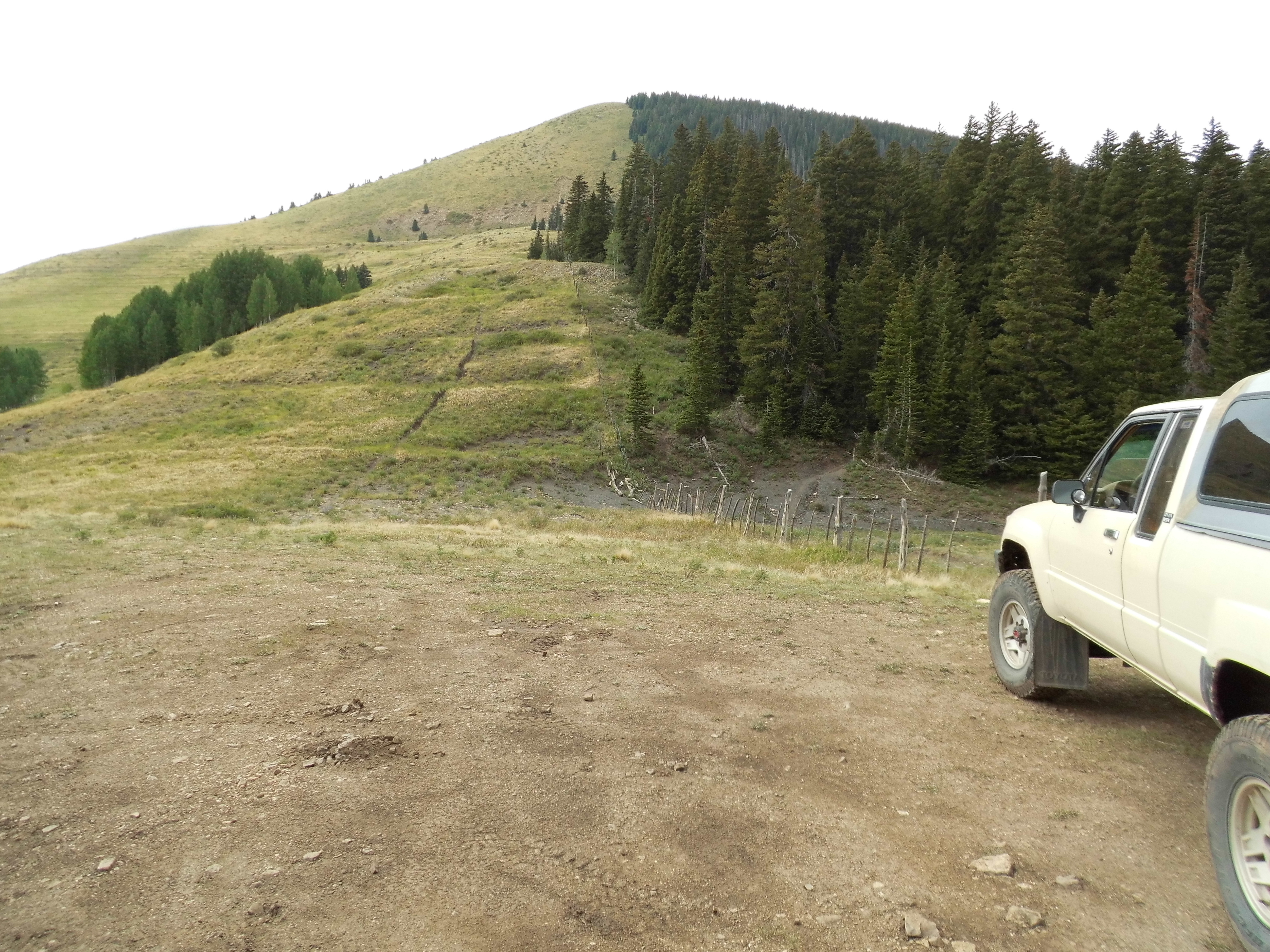
Those black dots behind the truck are cattle – I was surprised to see them up so high, but what do I know? There were a lot of deer about, I saw 6 of them, and 2 wild turkeys as well. I had excellent cell-phone coverage from this spot – probably with Monticello, as it was line-of-sight. By the time I fell asleep, 8 other parties had driven up the road past me to the summit, then back down. Thunder rolled around for a while, but I didn’t get rained on.
I was up pretty early, 4:30 AM to be exact – too early, as it was 5:45 before there was good light enough to travel. From the truck, I headed up an open slope and on to a forested ridge, then dropped down to a saddle and up a steep wooded slope to the summit of South Peak (11,122′) by seven o’clock.
South Peak
I had the place to myself, signed in to a register, then headed back north the way I’d come. Maybe 15 minutes after leaving, I thought I heard voices. Sure enough, on the summit I’d just left, I saw a group of people. Here’s a telephoto shot of them taken from a quarter-mile away.
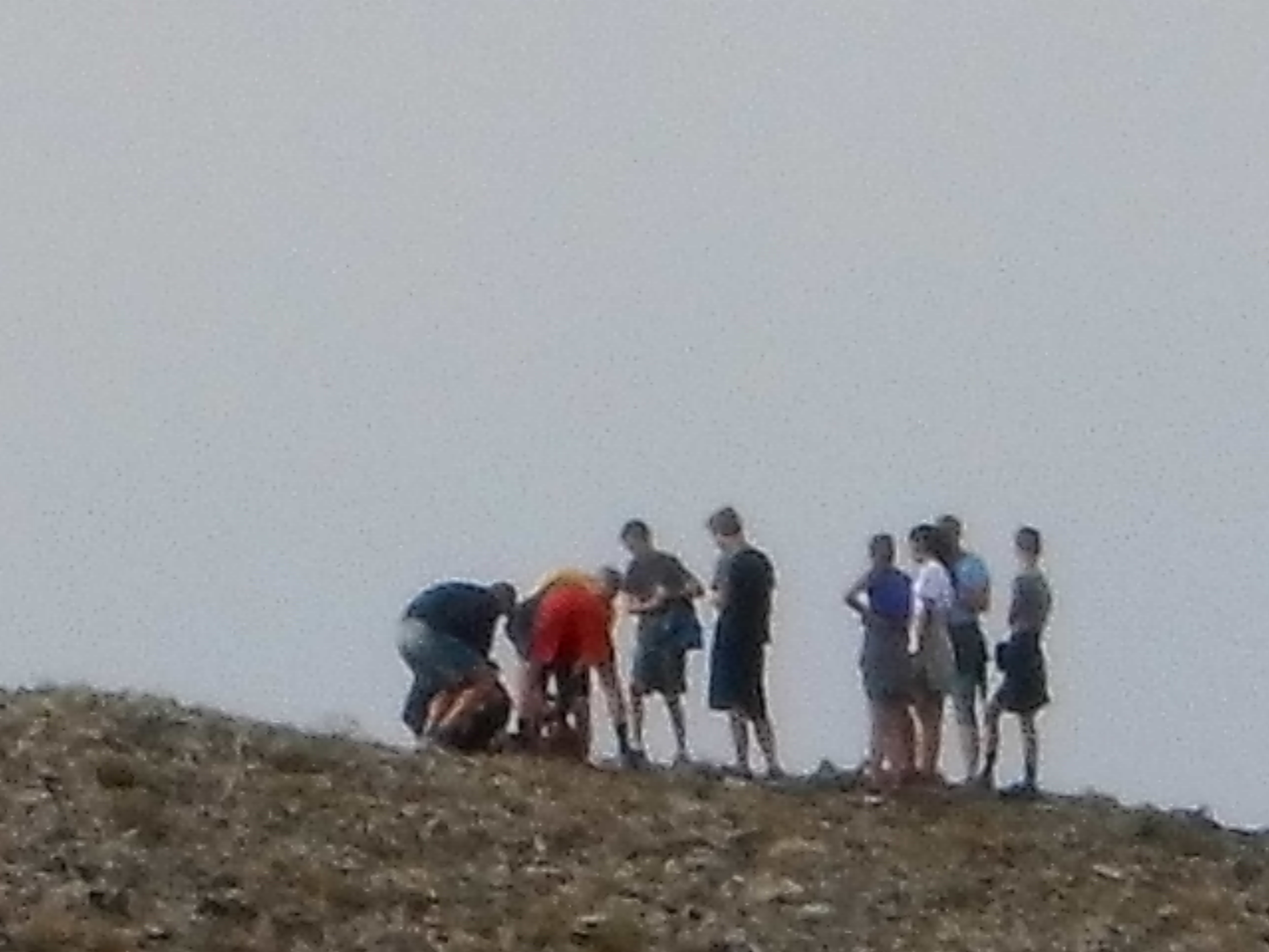
Others on the summit.
They were close enough that we could shout a hello to each other. I continued back to my truck, and had no sooner arrived than they did too. It turns out that they were a group of kids from Monticello, members of a high school cross-country running team. Very impressive how quickly they were moving – made me feel really old!
I drove all the way back down the mountain road, then around to the north side of the range. Up another excellent forest service road in North Canyon, then west for several more miles to arrive at a trailhead at 10,300 feet. It was a short climb up an easy, open slope to arrive at the top of what is known locally as “West Mountain”, at 11,014′ elevation. Here’s the summit.
The summit of West Mountain
You can see the dark clouds, and as I descended to the truck the thunder started booming once again. I had been seeing deer everywhere in this range, like this one by my truck which seemed unconcerned by my presence.
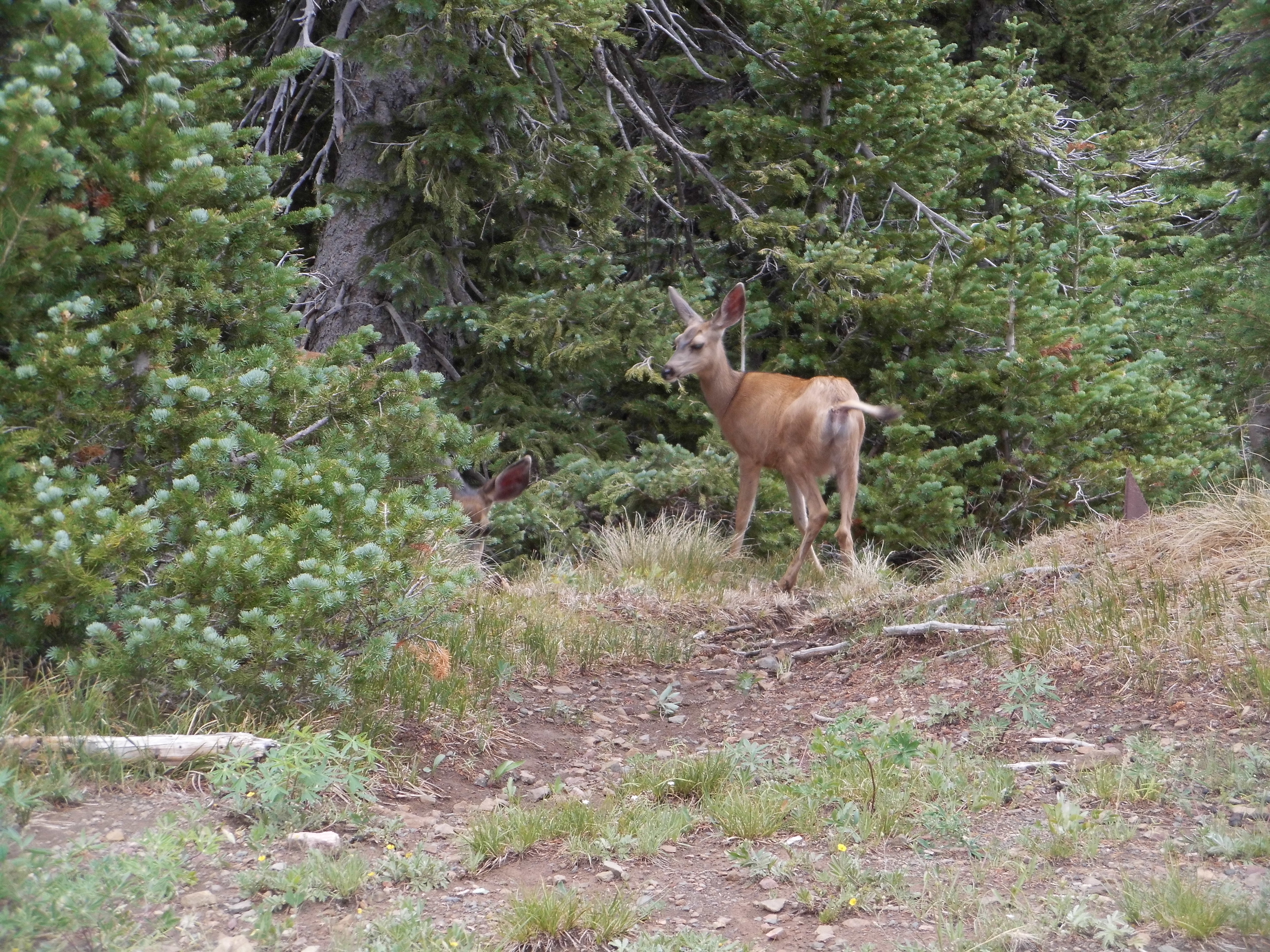
My deer
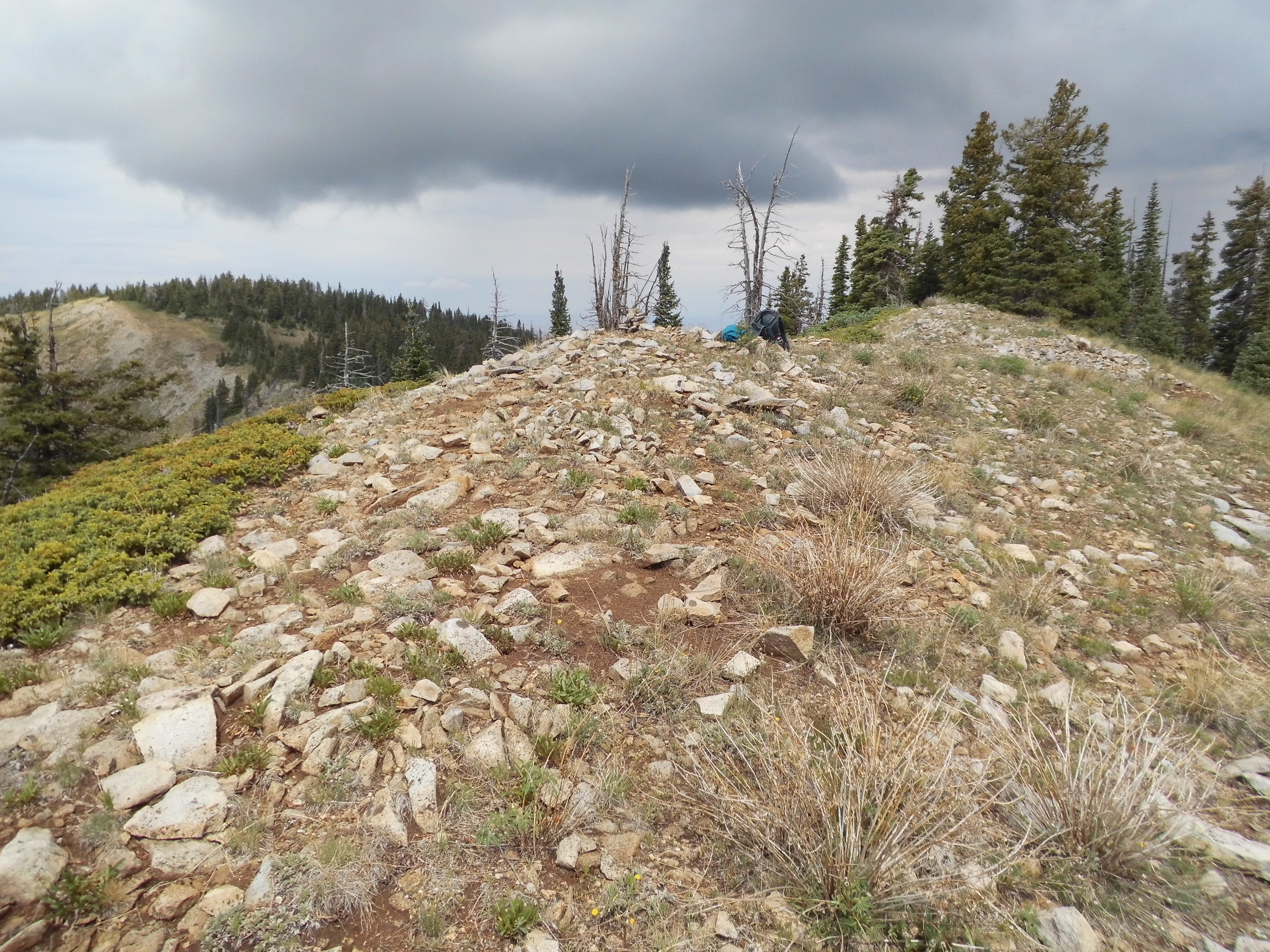
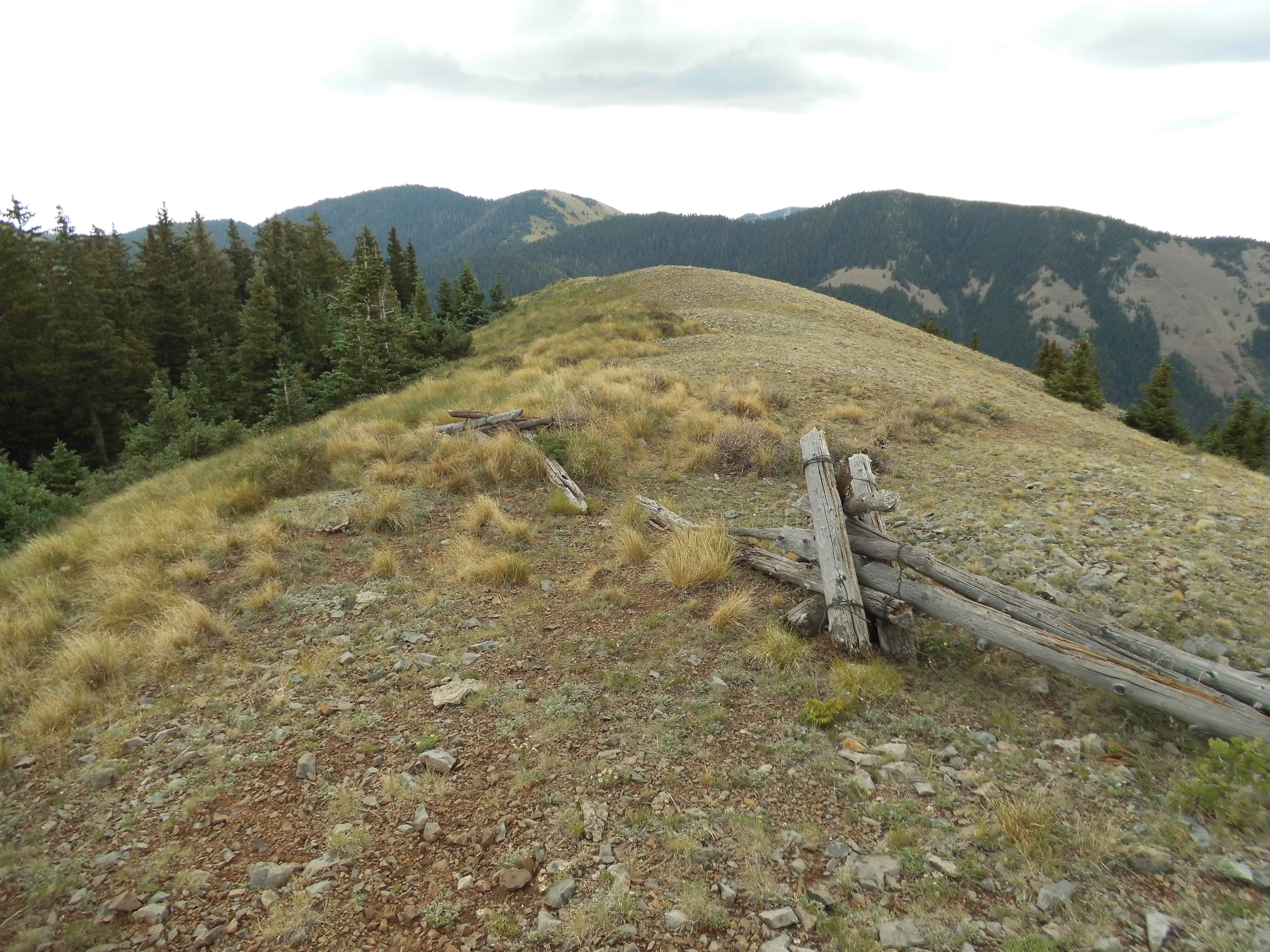
I drove a couple of miles of a rough, lesser road in the rain to get back out to the “main” dirt road, which ran for miles above 9,000 feet and even 10,000 feet. As I drove out to my next peak, the rain came and went, giving me pause – by the time I parked at a saddle at 10,000 feet, it was touch and go. Thunder was rolling all around me, even though it wasn’t raining at the time. I sat there for a while, staring at the slope in front of me, wondering if I should climb it. As I look at this photo now, weeks after I took it, I’m surprised how deceiving it is. The first part of the hillside, the first 400 vertical feet, is a fairly gentle slope, but the last 600 vertical feet is really quite steep.
The east slope of Peak 11,012
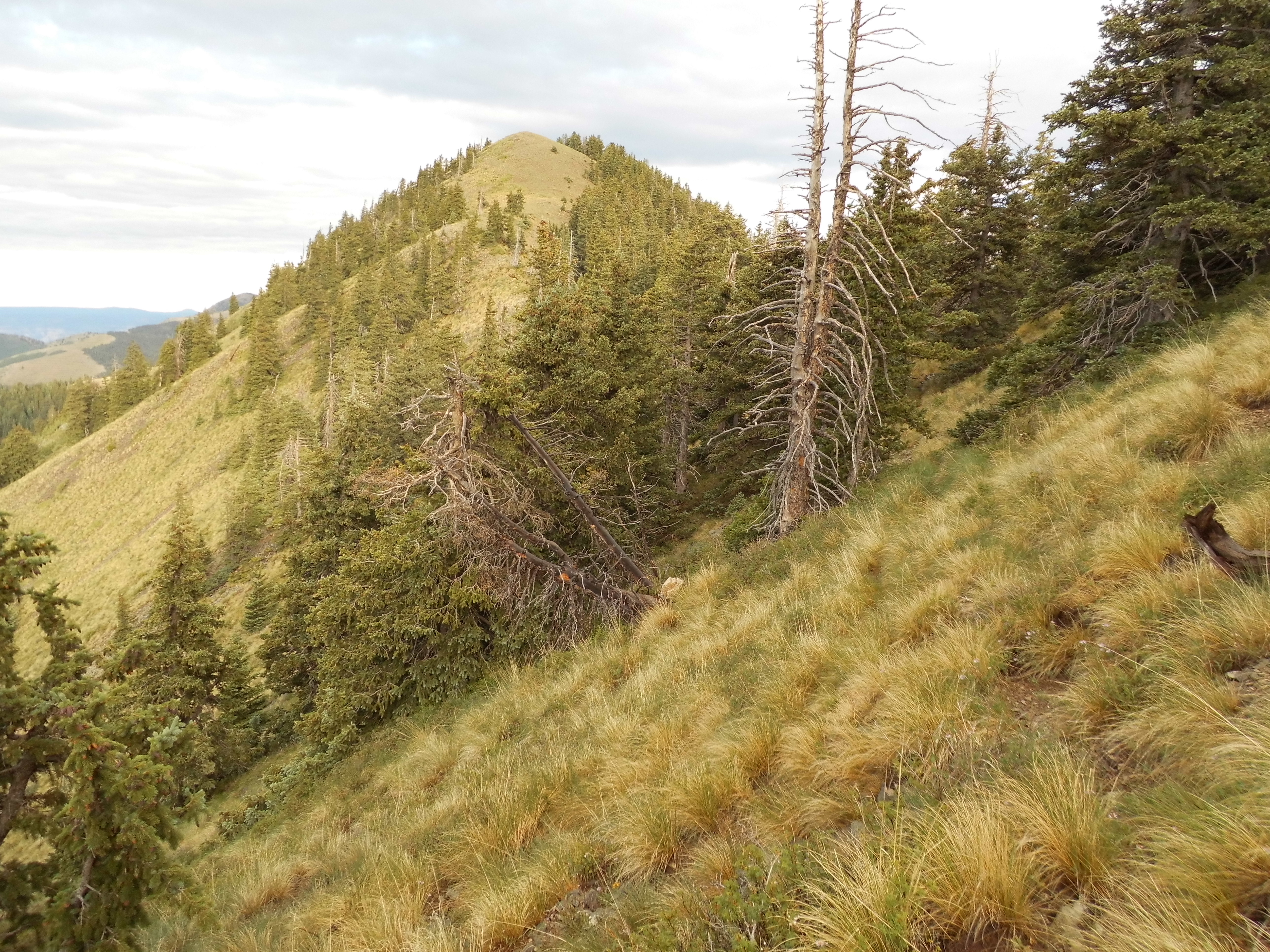
I spent about an hour climbing that thousand feet, and – you guessed it – as I reached the top of Twin Peaks East (elevation 11,012′) it started to rain and the thunder was booming all around me. I didn’t stick around but a few minutes, as the thunder was pretty scary.
The summit ridge
Not wanting to get soaked on the way down, I opted to descend through a forest adjacent to the open meadow I’d ascended. That turned out to be a better choice – the woods turned out to be dark and moody, and kept me pretty dry.
Everywhere I went in the Abajo Mountains, there were people driving the roads – I wasn’t alone, not at all. Probably because the scenery was so great, and because the roads were excellent; also, the range was only a few easy miles from a town.
Once I was back down to my truck, I drove about a mile and parked at a spot called North Creek Pass, elevation 10,312 feet. Actually, I drove about a hundred feet higher on a side road up into the forest – more secluded, not visible from the pass. There were 2 more peaks I wanted to climb, both of which I could start right from the pass. I thought seriously about doing one of them in the waning hours of the day, but for some reason decided I’d leave it until the morning. That turned out to be a good decision, as you’ll see.
No sooner had I parked than it started to rain. In order to camp for the night, I have to take a bunch of stuff out of the camper shell and set it outside so I have room to sleep. The rain came so suddenly that I didn’t have any time to do that. I sat in the cab of the truck and watched the rain come down. My warmer clothes were in the camper shell but I couldn’t get at them, so I sat there in shorts and T-shirt, listening to the radio. The storm was biblical in proportion. It rained and hailed, the wind rocked the truck, mist swirled around me. Lightning flashed repeatedly and the peals of thunder were deafening. I had planned to cook a meal of pasta but that was impossible – all I could do was sit there in the cab and munch on granola bars. Not only was the storm ferocious but it went on and on – hours passed and finally darkness arrived. There came a short break in the storm, and I used the opportunity to unload the back of the truck, putting all of my gear into large plastic bags to keep it dry. I crawled into the camper shell and into my sleeping bag and waited for sleep.
It rained on and off all night long. When daylight arrived, it was still raining. By 5:00 AM, it stopped for a bit, so I got my pack ready. Just my luck, it started up again and I had to wait another hour before it finally let up. As I set out, the clouds broke up and I started to see bits of blue sky. I walked up an old road which became a trail, taking me up to Cooley Pass at 10,700 feet. My goal was to climb to the highest point of a feature known as Jackson Ridge. At 11,164 feet it was no slouch, but it sat in the shadow of nearby Abajo Peak, the range high point. In one of the nearby meadows, I saw a total of 20 elk, none of which seemed too concerned about my presence.
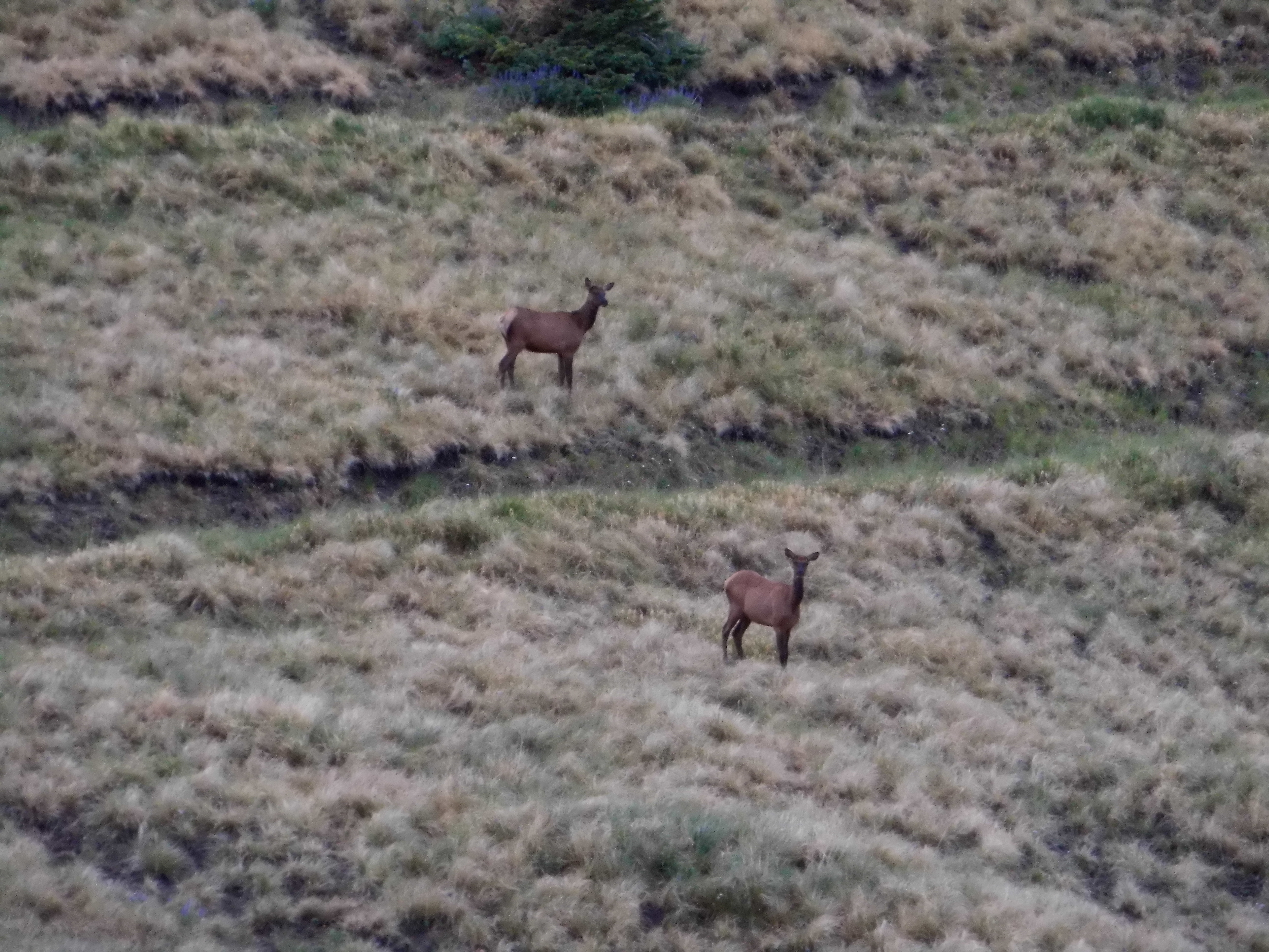
Elk
For some reason, I sidehilled across the south slope of the ridge, wasting a lot of time and effort in the process. Finally I got my first good look at the summit.
Jackson Ridge
It was 8:00 o’clock when I stepped on to the top, where I found a register and signed in. The weather was changing, clouding up again, so I headed down, this time choosing to stay on the ridge crest. I actually found a foot path, passing over Point 10,995 and down to Cooley Pass. From there it was an easy stroll down to my truck.
There was just one left, one final peak and it was just north of where I was parked. Since it was only 9:00 AM, I had plenty of time. It was the work of a few minutes to get ready, and I set out. Here’s what I saw.
Peak 11,209
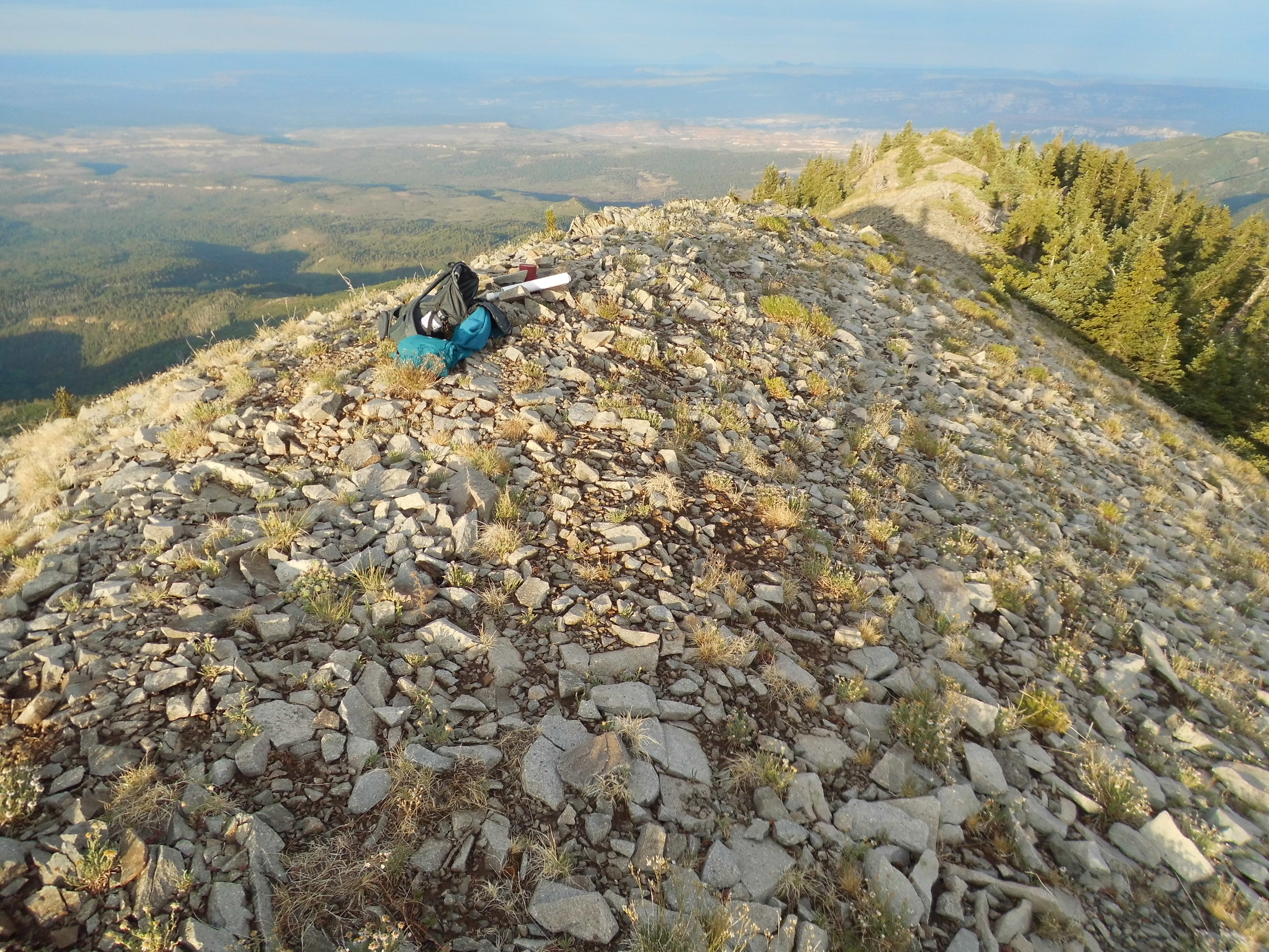
As you can see, the first part was a walk up a meadow, but above that things changed – it was broken rock all the rest of the way to the top.
The upper part
On the top of Peak 11,209 I found a small cairn but no register. After a quick look around, I headed back down to my truck. Wouldn’t you know it, as soon as I arrived it started to rain once again.
My work here was done. I had come to the Abajo Mountains to climb the 6 peaks over 11,000 feet elevation, and had done just that. All of the climbs were quick, as I was able to drive close to every summit – the roads were excellent, and each summit was a simple Class 1 hands-in-pockets ascent. This compact range is inviting and friendly, and I recommend it to anyone wanting to bag some high peaks in a hurry.