
I’m paying the price for my sins. For a week now, I’ve been changing dressings, using ice packs, applying bandages. – it’s like I’m in a bad dream that won’t end. All of this misery is of my own making, though. As I write this, it is exactly one week to the minute since the accident occurred. I am re-living the traumatic event every day. I’m going to tell you about it, but first you need to know the events that led up to it.
Luke and I first hatched the idea a full 2 years ago, but it took that long to bring it to fruition. Like our other stealth-climbing trips, this would be one of playing cat-and-mouse: we the mice and the military the cat. As our departure date approached, the number of emails back and forth increased exponentially, going over the finest details to make sure that nothing was left out. It’s incredible how much there was to consider – some of the details were minor, but others, such as where we’d place our camps, were of paramount importance in order to avoid detection.
Our departure date arrived, a day in late December. I drove for hours in darkness, then another hundred miles in daylight to finally arrive at our agreed-upon meeting point. We would park near a U.S. Border Patrol checkpoint, seemingly as safe a place as one could possibly choose. Luke was there, waiting. All of his gear went into the back of my truck and away we went. Seven miles later, we rolled up to the site of Camp One, which happened to be on military land and off-limits. We off-loaded everything, not just our gear for the 10-day trip but also a lot of water. The site we had chosen for our campsite had to meet 3 requirements: it had to be flat enough to sleep comfortably; it had to be well-hidden; it had to have a place to be able to easily put on our large, heavy packs. That would ideally be a large rock or an embankment of suitable height to allow us to back up into the packs. This photo shows that it was flat enough, and because the wash was about 4 feet below the surrounding land, well-hidden.
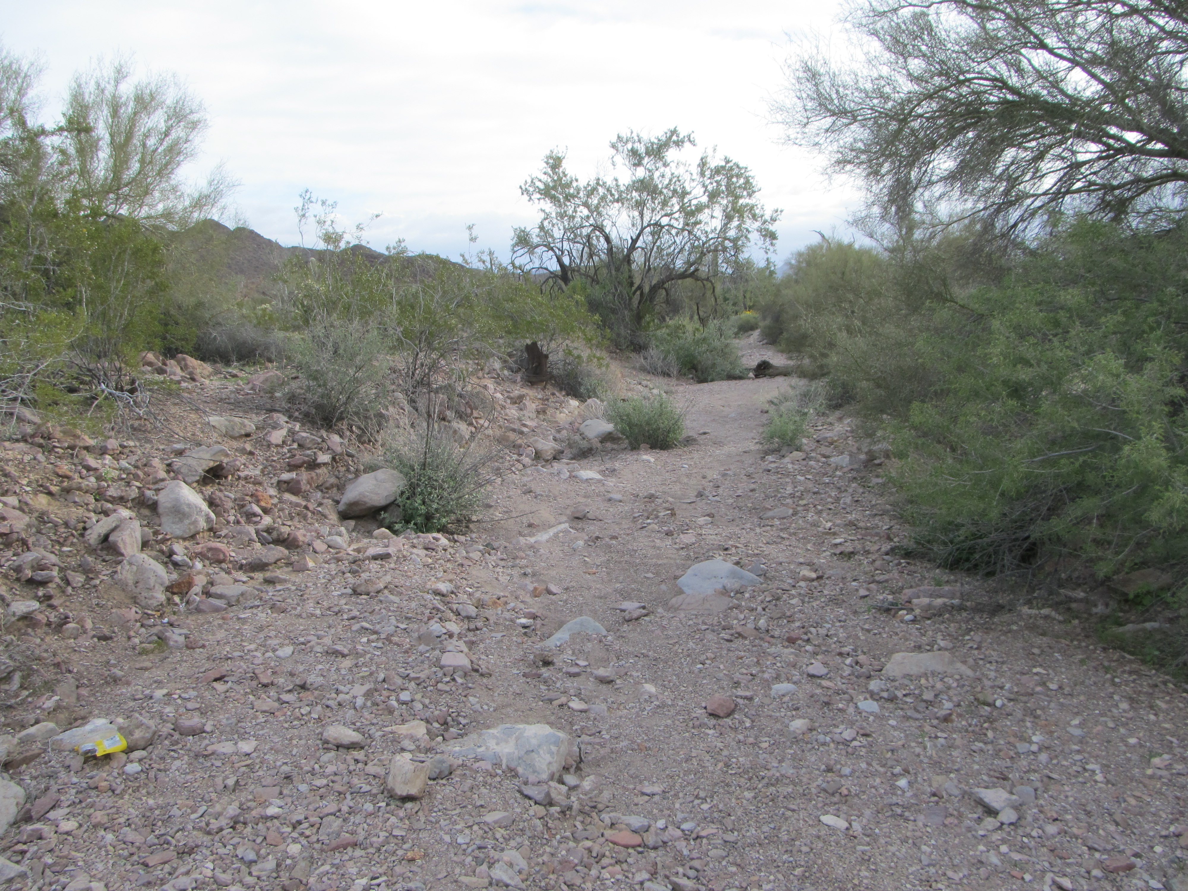
Camp One
Our Day One was to be a bit different than those to come. Once everything was set in place in the wash, Luke then drove the 7 miles back to the BP checkpoint. He parked and disabled the vehicles, then set out across the desert on foot. I from my side made ready to depart. Each of us would be carrying only a small day pack. By the time I walked away, it was 10:30 AM. Our goal was to get some climbing in, although it’d be a short day. He would head west and I north, meeting miles later at a pre-designated point where our day’s adventures would begin.
My route involved climbing over a couple of small ridges, then dropping into a valley which I’d follow for a while. This next photo shows my route north – I’d head for the lowest point on the horizon. I was excited, as this was all new territory. Our plan was to be out here for 10 to 12 days, climbing peaks and exploring. There’s a special thrill in being in places where no climbers have been before, where no roads exist, where there’s no information from others to go on. It’s a journey of discovery, all day each day, and easily the most exciting thing we can do as peakbaggers.
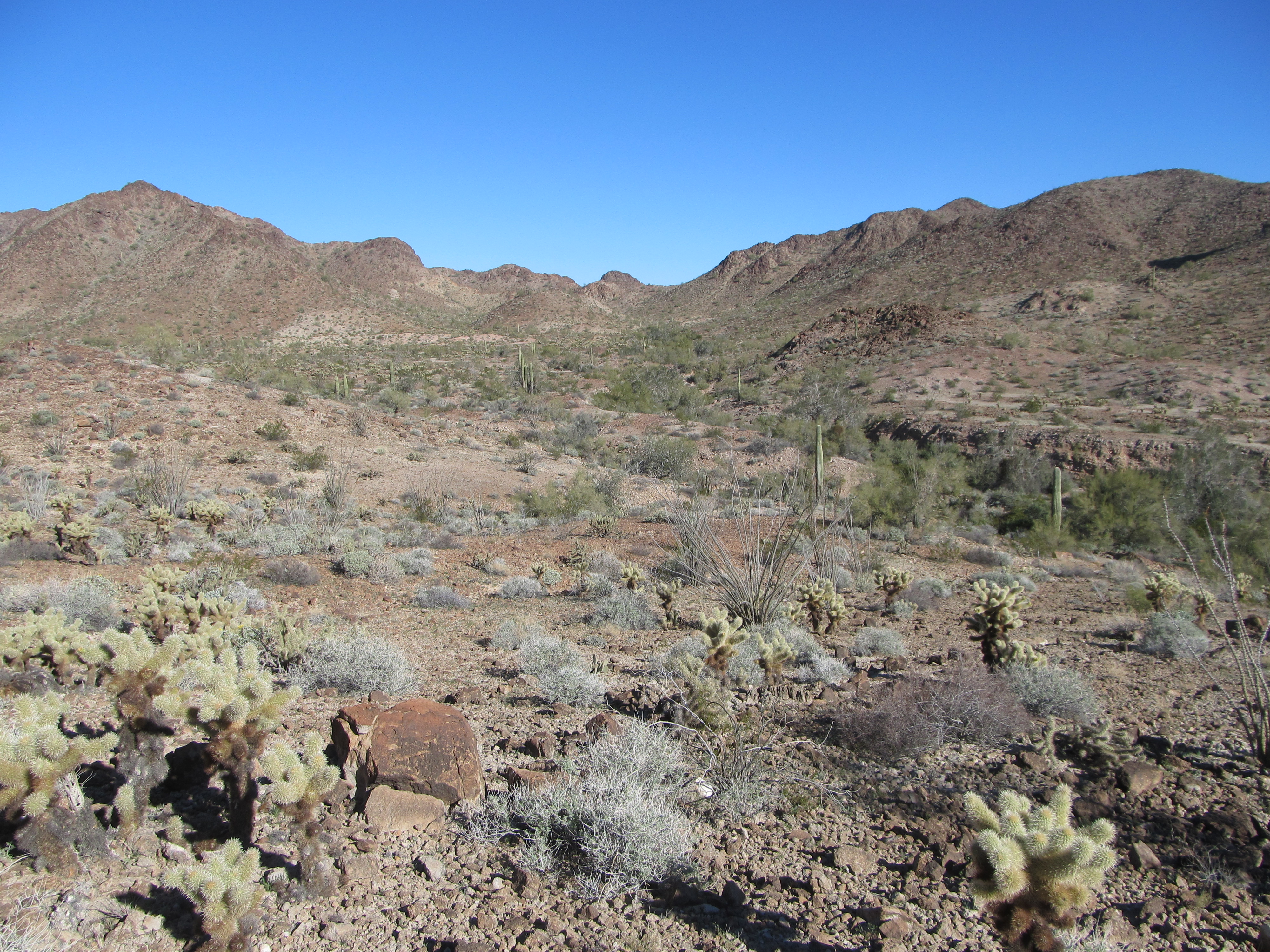
Heading north
We each carried an FRS radio set to channel 5, and about an hour after I left camp, we first connected by radio on a pre-set schedule. The area was a jumble of hills, ridges and washes with limited visibility – without the radios it would have been much more difficult to find each other. The terrain was so messy that you couldn’t see but a short distance in any direction. The original meeting place we had discussed didn’t work out, and we ended up in different spots. It took maps, GPS and talking on the radio to finally link up. Luke had walked a greater distance than I, but he is faster and stronger so the timing worked out well. We climbed up to a ridge where we each left a quart for later. Everything we wanted to climb today was now in plain sight, so we planned our next move. Here was the first thing on our agenda, which we climbed by its left skyline, arriving on top just after 1:00 PM.
The benchmark
Aside from the original survey marker left by the U.S. Army Corps of Engineers over 60 years earlier, we were the only others to have visited this place. It was a pleasant spot awash in afternoon sunshine and an easy start to our trip. From there we headed south along a ridge to our next goal. We weren’t sure what we’d find there – it looked steep in spots, but until you have your nose right up to the rock you can’t really tell what you’ll run into. As we climbed up to the highest summit rocks, this is what greeted us.
Hmmm, what’s next?
From below, it looked a bit dicey. Nothing for it but to give it a try, though, so up we went. Things cooperated. After a bit of a cross-over move, we found a way up a short Class 3 gully and soon found ourselves perched on a small bit of summit. It was untouched, as we expected, and an exciting little climb. An airy perch in the stiff breeze, we quickly filled out a register and hid it beneath rocks. Nice peak. We didn’t stick around – I’m always a bit nervous on top of a peak where there’s some trepidation involved in getting back down, but down we went to easier ground, then down the valley to our cached water. From there, our third and last of the day was in plain view.
The third and last of the day.
Down a wash, then over to the left skyline of the peak, its northeast. It was an easy scramble to the summit. As Luke filled out another register, we saw what looked like a decent route off the thing, its south side. We started down at about three o’clock, soon finding ourselves following my route in from earlier in the day.
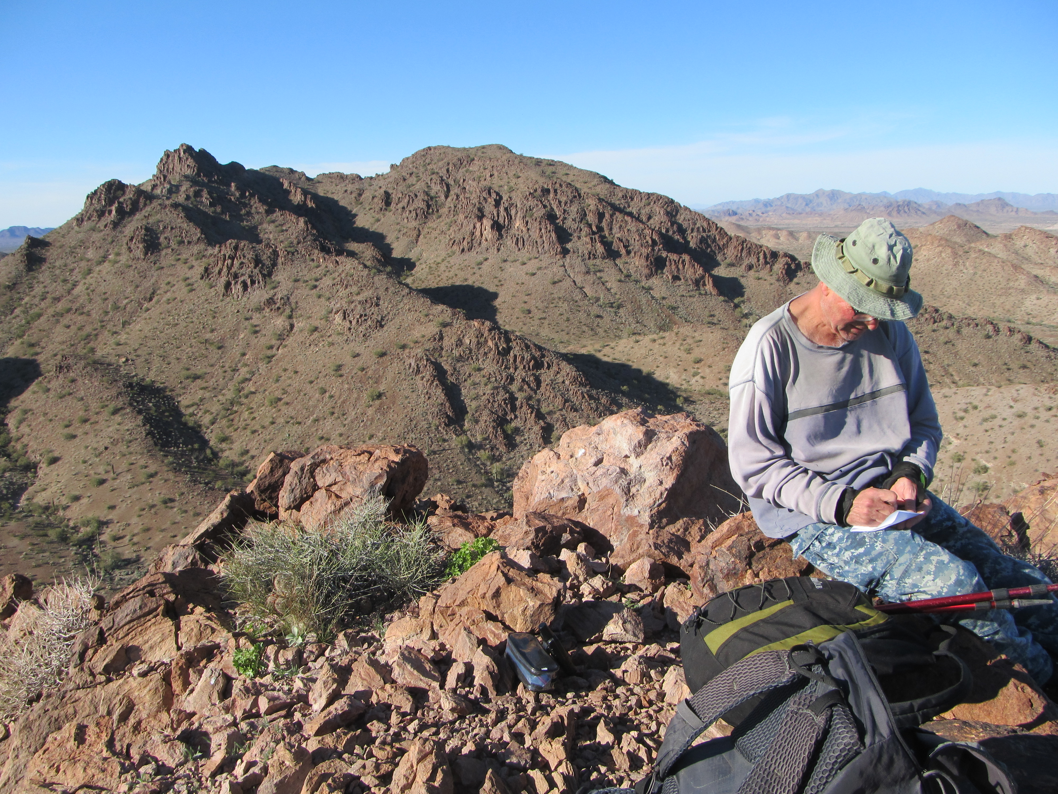
A look back to our first one (on the right) and the second (on the left)
Although Luke and I have spent many days camped out in wilderness like this, each trip is a new beginning – the first day is the one to work out any bugs, a sort of shake-down, so we wanted to get back to camp as early as possible to do just that. It was an enjoyable walk, arriving a bit before 4:30. We were already deep in the shadow of a nearby peak as we sorted gear and got ready for our first night out. My dinner consisted of 2 packages of noodles, the kind that you don’t have to cook – you just boil water, throw in the noodles and seasoning and let it sit covered for 3 minutes. Essentially ramen noodles, but with tastier seasonings. I’d also eat any left-over snacking food from earlier in the day. Luke enjoyed sardines, stuffing and soup. To conserve fuel, we’d decided that we’d only bring food that didn’t require any actual cooking. Boil water, yes, but then add things and let it sit for a bit so it was ready to eat. Saves fuel over preparing food that requires actual cooking time, and saves time so we can get our eating over with and take care of other camp chores.
We do these stealth climbing trips during the shortest days of the year, which often translates to the coldest days of the year. This forces us to carry warmer clothing and heavier sleeping bags, in addition to taking other precautions. We have to work extra-hard to get much climbing done in these shorter days, and often find ourselves starting in the pre-dawn hours by headlamp and finishing after dark.
Another consideration was whether we should have a campfire at night. Reasons for not having one were: it could draw the attention of the military (remember that we were hiding from them, climbing out on their land which was closed to civilians); it could draw the attention of Bad Guys heading north, who would love to rip us off. Reasons for having one were: it provided warmth; it was entertaining (who doesn’t like a campfire?); it allowed us to burn our trash; instead of going to bed at sunset and having to stay in our sleeping bags for 12 hours (way too long), we could stay up later and enjoy each other’s company and get caught up (it’d been a whole year since we’d last climbed together). Given the deeply hidden nature of our camp, we elected to have a fire. If you’ve ever camped out in the winter, it’s cold. Sure, you can dress for it, but once darkness descends, if you’re not in a sleeping bag or sitting by a fire, you’re going to be pretty miserable.
Day 2
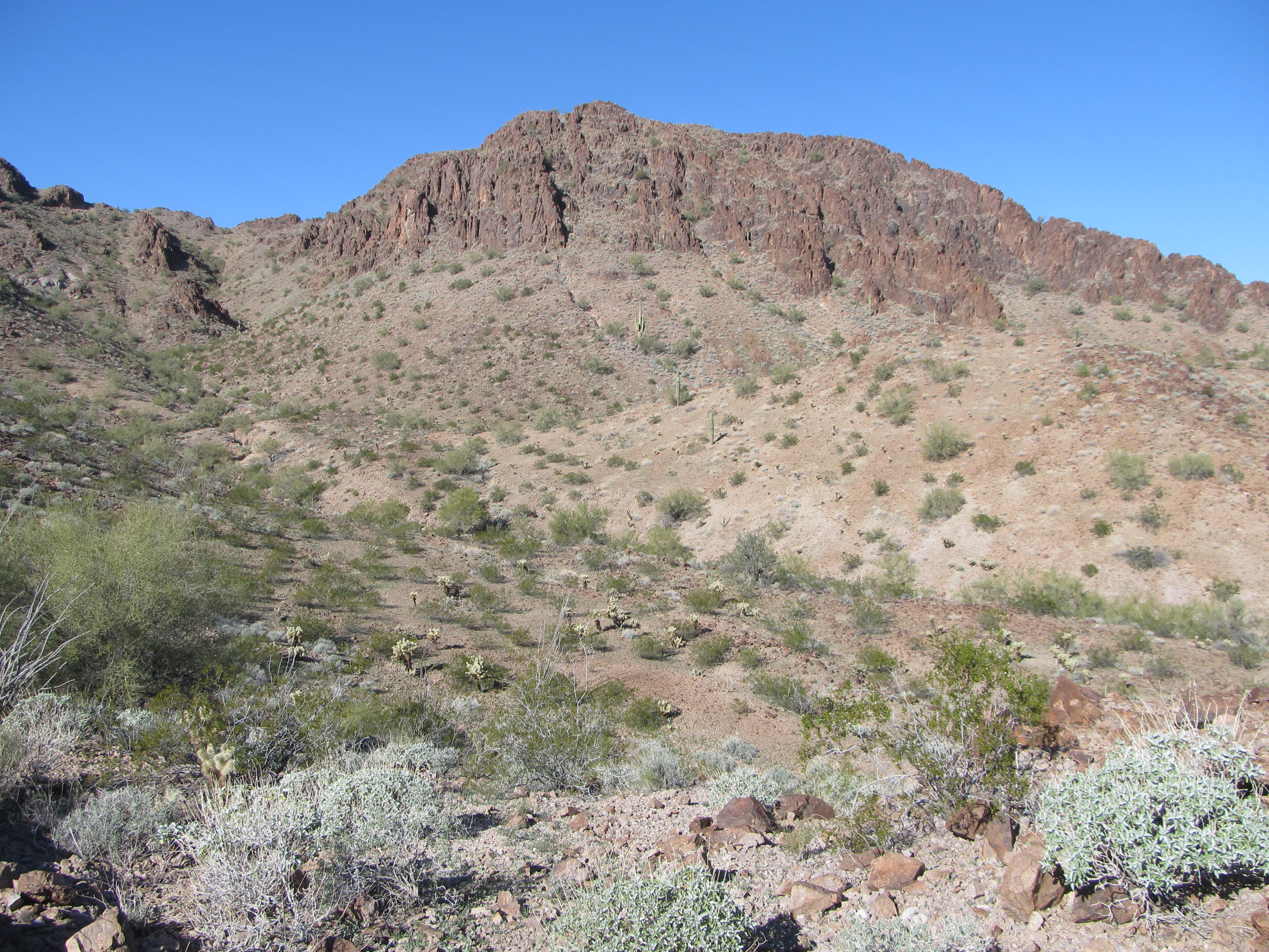
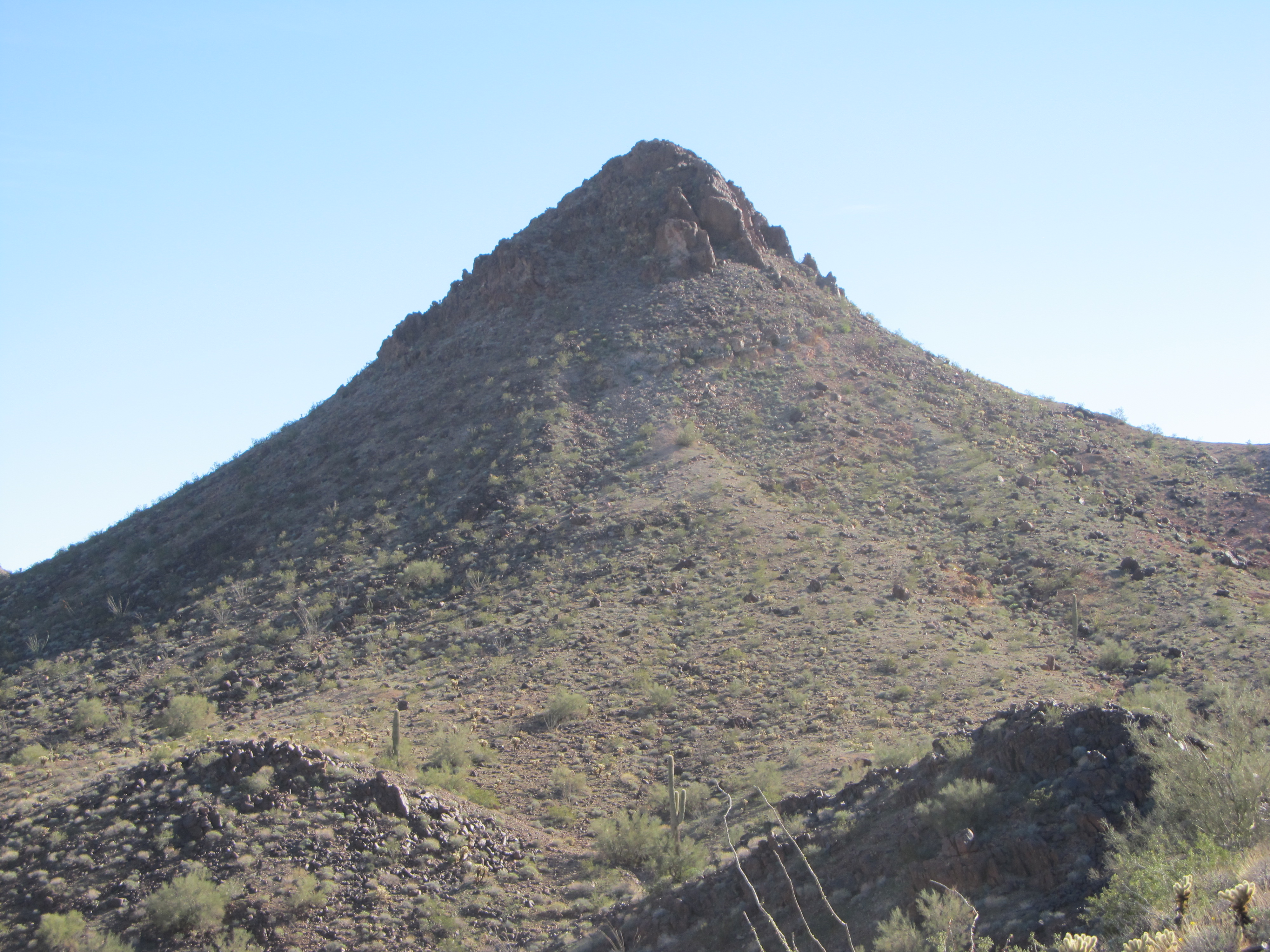
Early the next morning, we ate and got our day packs ready. Most of our gear, we just left where it was in camp – the chance of anyone finding it was near zero. There were 3 peaks we had in mind for the day – two of them seemed straightforward, but one of them looked like it was ready to give us trouble. Our usual plan of attack is to try the most difficult one first, and the troublemaker also happened to be the nearest. We crossed a nearby ridge where we caught this view of the mountain in the glow of sunrise.
Sunrise
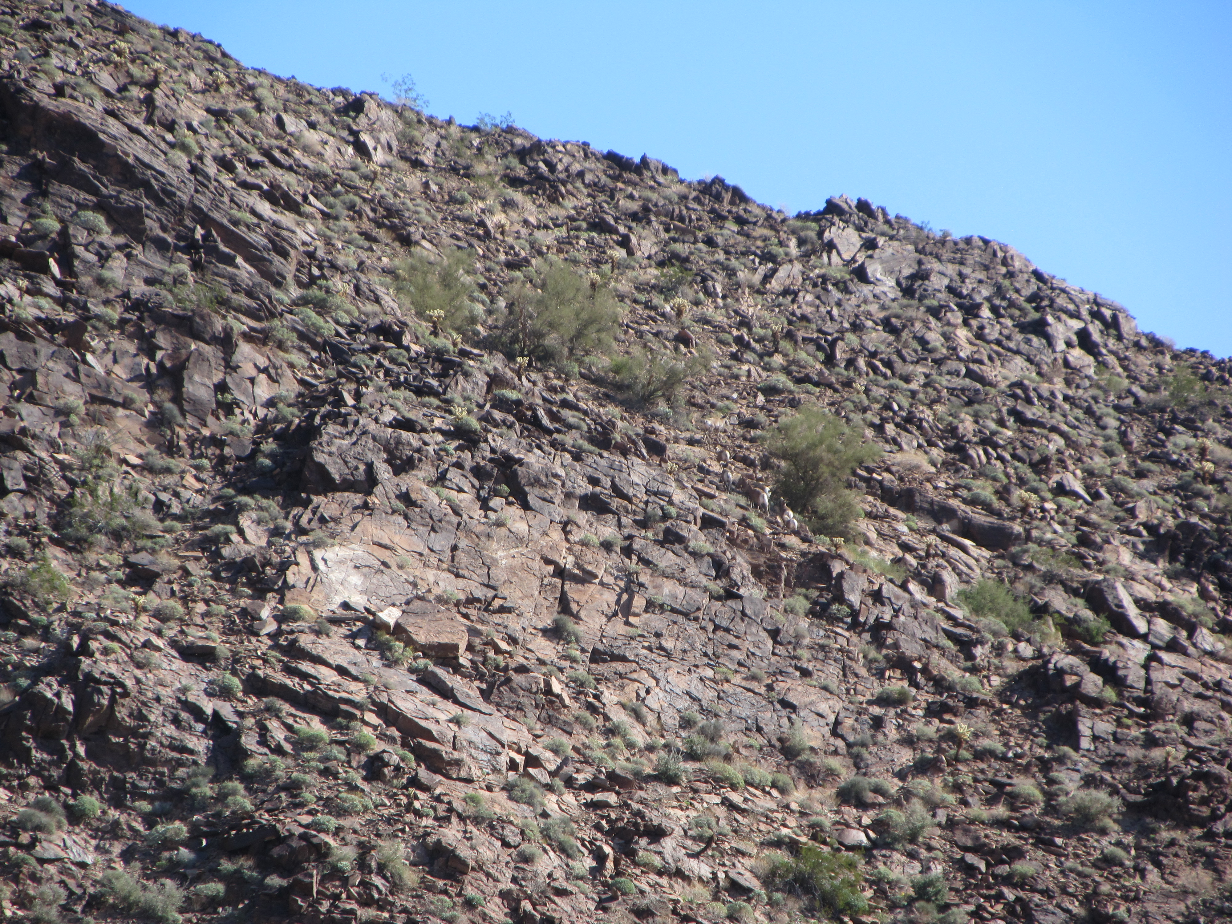
Down we went into a broad wash, which we would follow all the way to the base of our peak. It started as a pleasant walk, but before we knew it things closed in on us. The wash became steep-sided, and the brush – oh my God! Several times we tried climbing up and out of the brush in the wash to continue above its bottom, but the loose footing was dangerous. We found ourselves always retreating to the bottom of what was now a canyon, where if it wasn’t the brush, it was the boulders that kept us working hard to gain elevation. This peak was going to exact 1,300 vertical feet of climbing, one way or another, if we were to get to the top.
A feature shown on the topographic map was a natural arch. We finally caught a glimpse of it high up on the ridge encircling the head of the valley. We knew it must be a real doozie for the cartographers to have honored it by showing it on the map. See it?
The arch
Here’s another photo where I zoomed way in so you can see it better. It’s a lot bigger than it looks, and doesn’t show up to advantage from this angle.
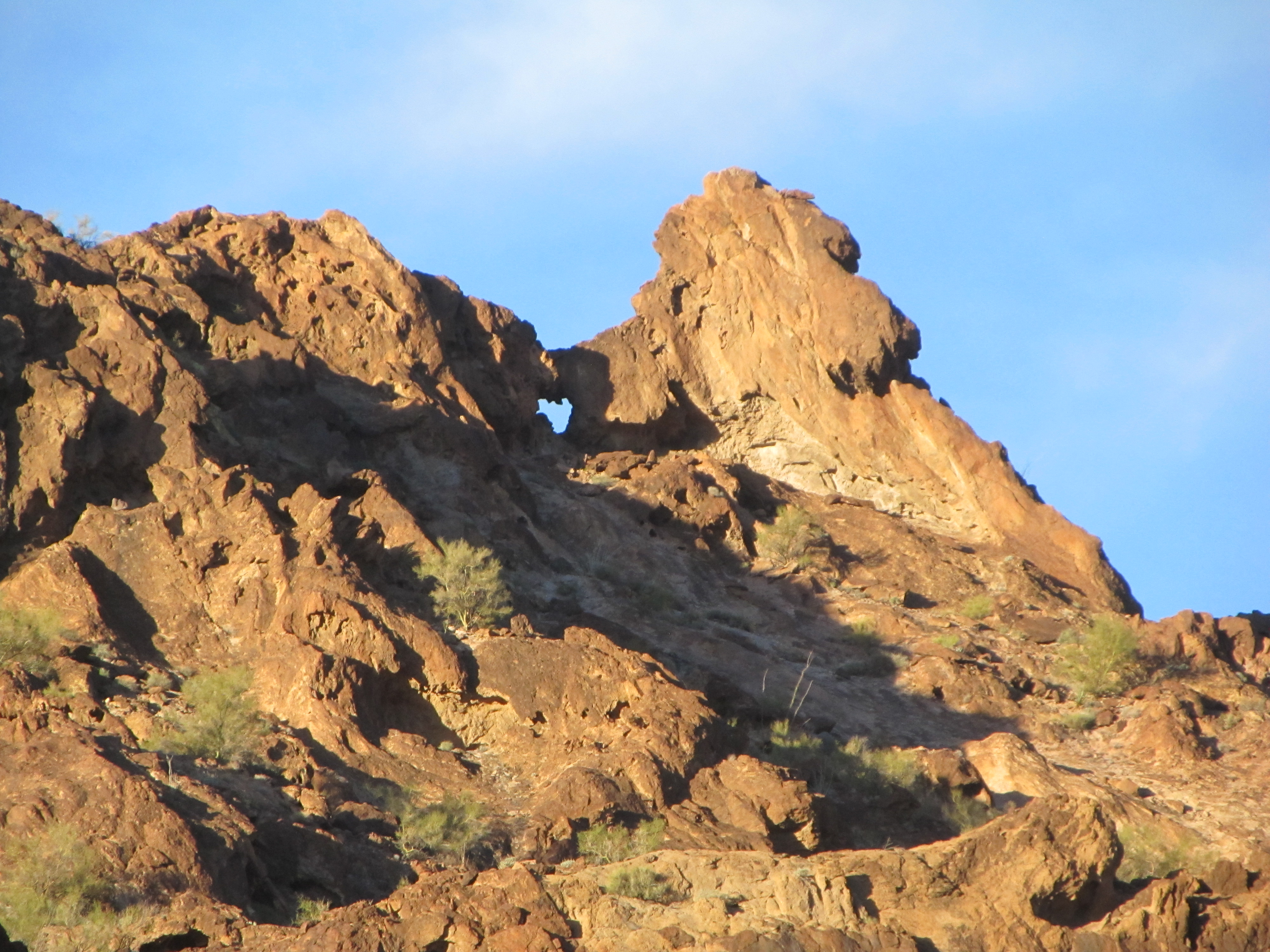
Here it is.
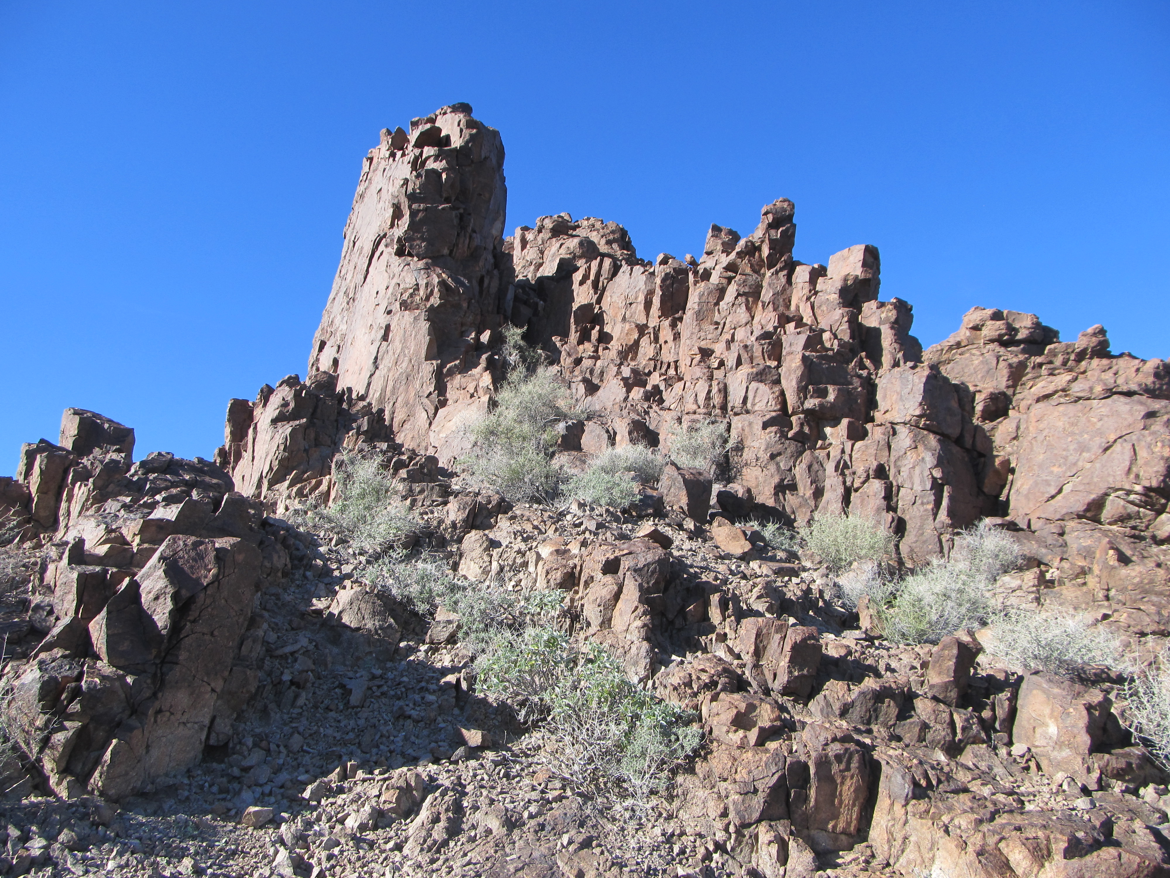
Finally, after our fair share of abuse, we needed to make a decision as to how to attack the summit. Its south ridge looked near-vertical, so that was the first thing we ruled out. The entire southeast side was a maze of cliffs, not appetizing at all – in fact, a hundred feet of contours were completely missing on the topo map. The only path that still seemed open to us was to climb hundreds of feet higher to a notch on the east ridge. Our best hope was that from the notch there was some route hidden from view that could lead us higher. It was a straightforward climb, albeit steep and loose, to the notch, but as we climbed we became anxious as to what awaited us from there. It’s often the case when you’re climbing a mountain that you can’t see the route out very far ahead of where you are. You just keep pushing, making progress one bit at a time. This was the case on our peak now. Once standing in the notch, we couldn’t see all of the way to the top, as things looked steep and convoluted, but we couldn’t see any definite deal-breaker either. We carried on, and a short while later, with a few easy Class 3 moves and a lot of exposure, we poked our heads up above the final rocks and stepped on to the summit.
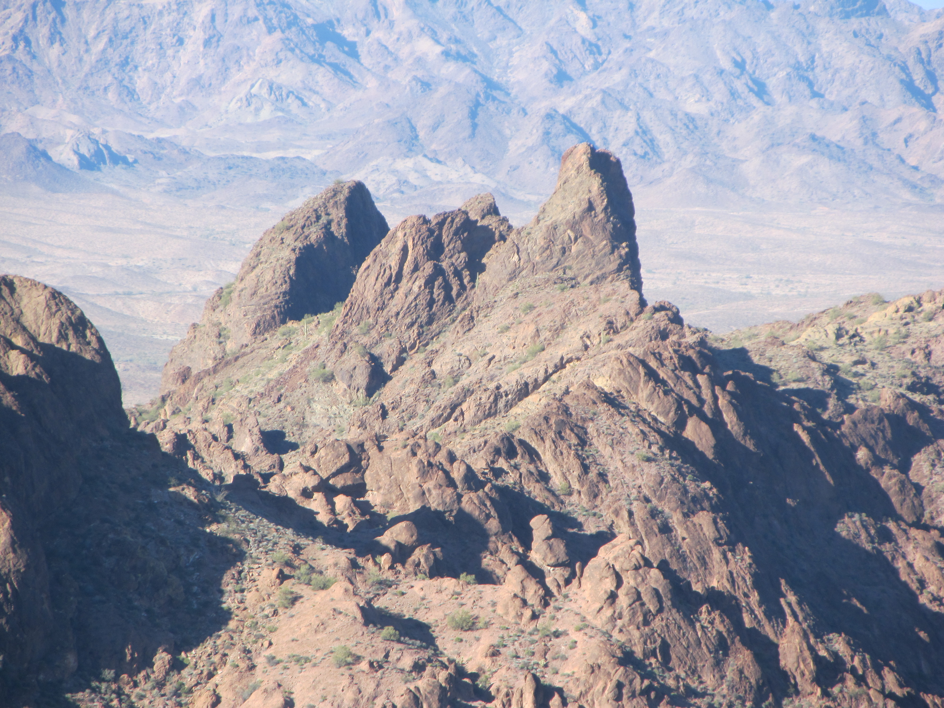
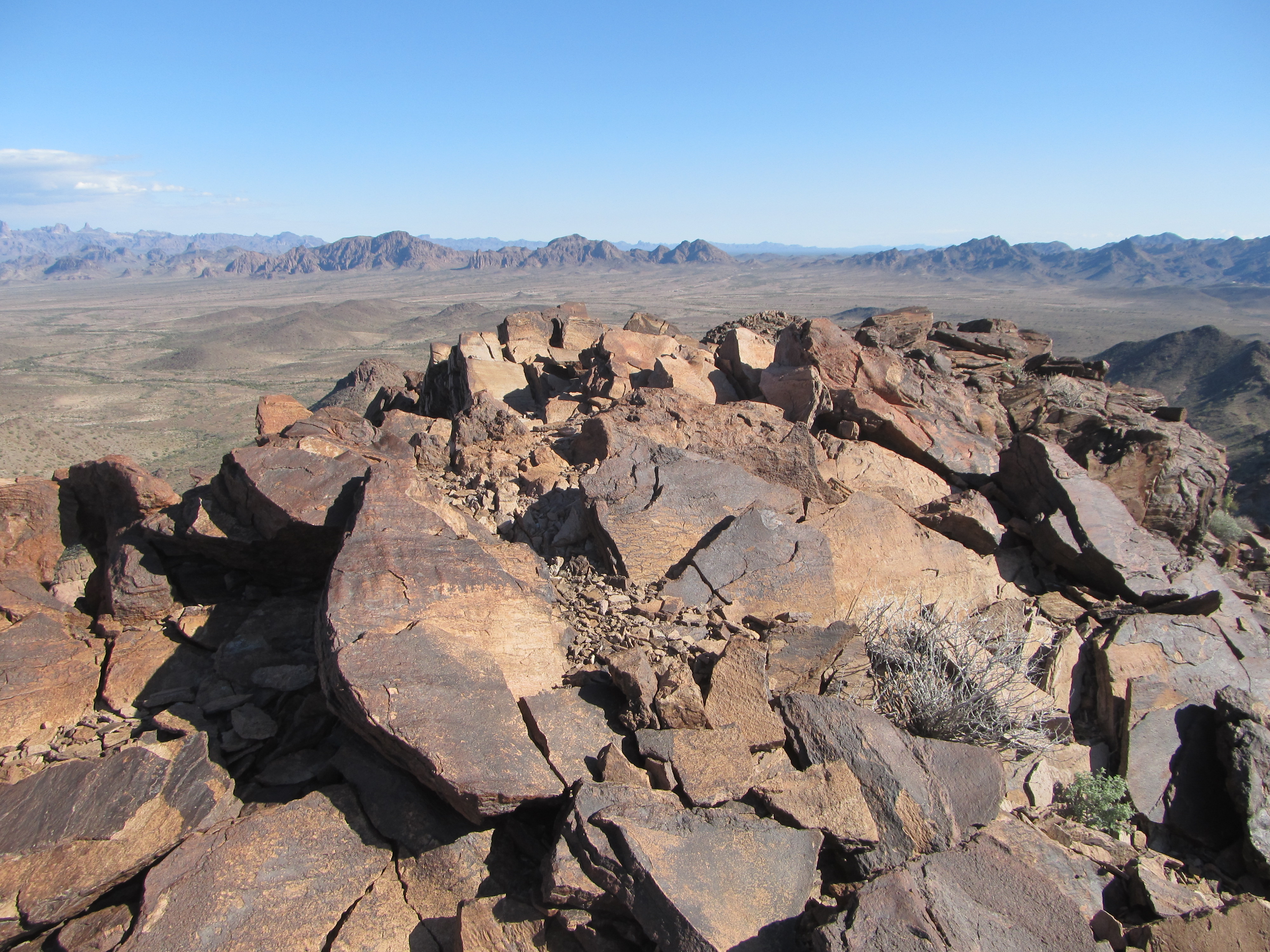
I can’t show you any photos of the summit, as there was a lot of old military communication equipment there, but it was a lofty place. We looked down on all sides, and I think it’s safe to say that the route we’d taken was the only sane one to the top. All the military stuff up there had been flown in by helicopter. Here is one picture, though, taken from the top, which shows some dramatic terrain we planned to visit in the coming days. We are looking steeply downhill, over an intervening feature we called “The Spire”, to the low desert miles beyond.
The telephoto
We actually left a register, even though we knew that nobody else would ever sign in. It was 10:00 AM when we arrived, and about 20 minutes later we started down. Just below the notch, we enjoyed these striking views. Here’s one looking back up the southeast side where the map contours were missing.
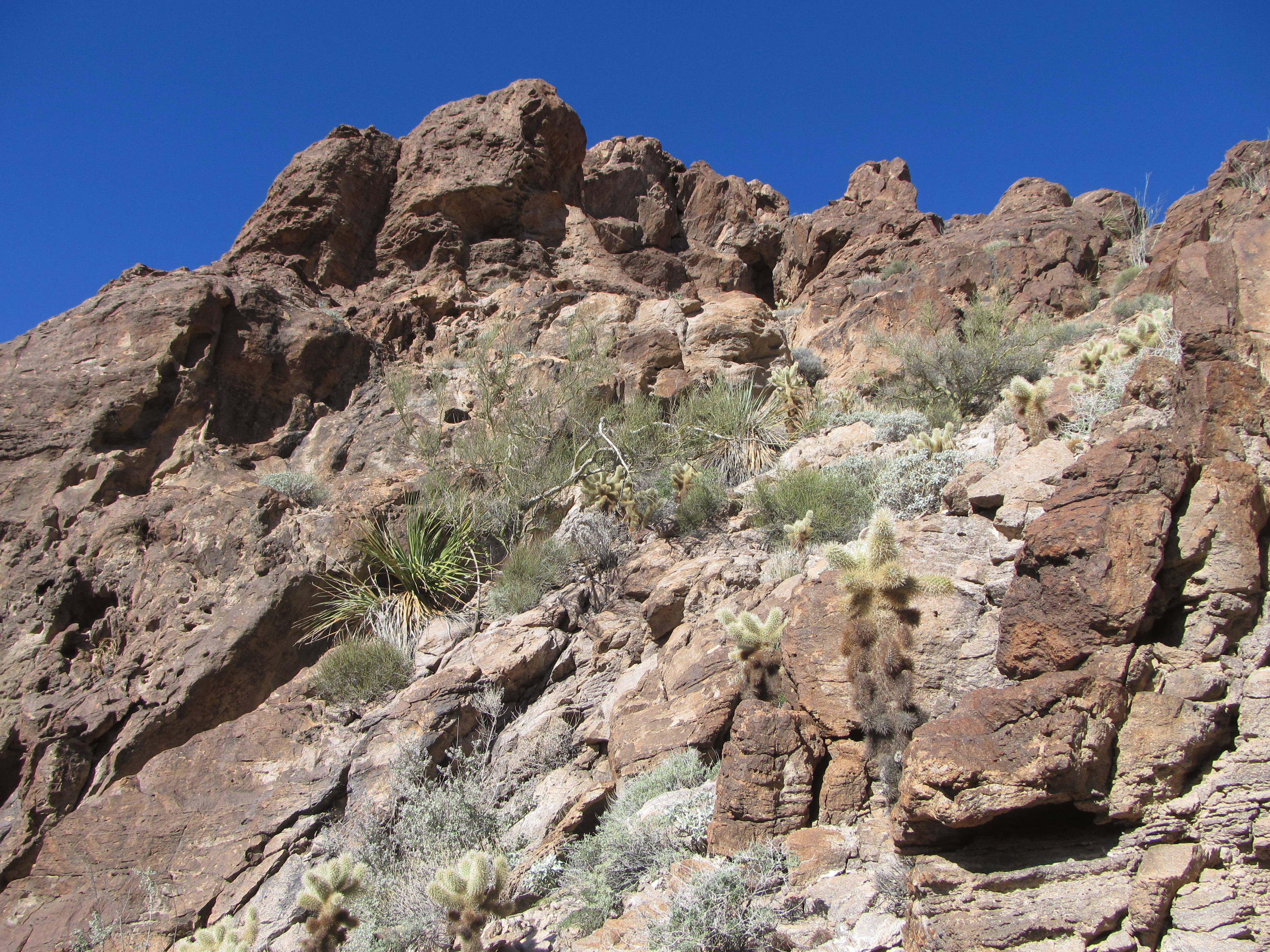
Looking up
And here’s one looking down into the deep canyon we would follow out – it was a steep, slippery descent to get back down there.
looking down
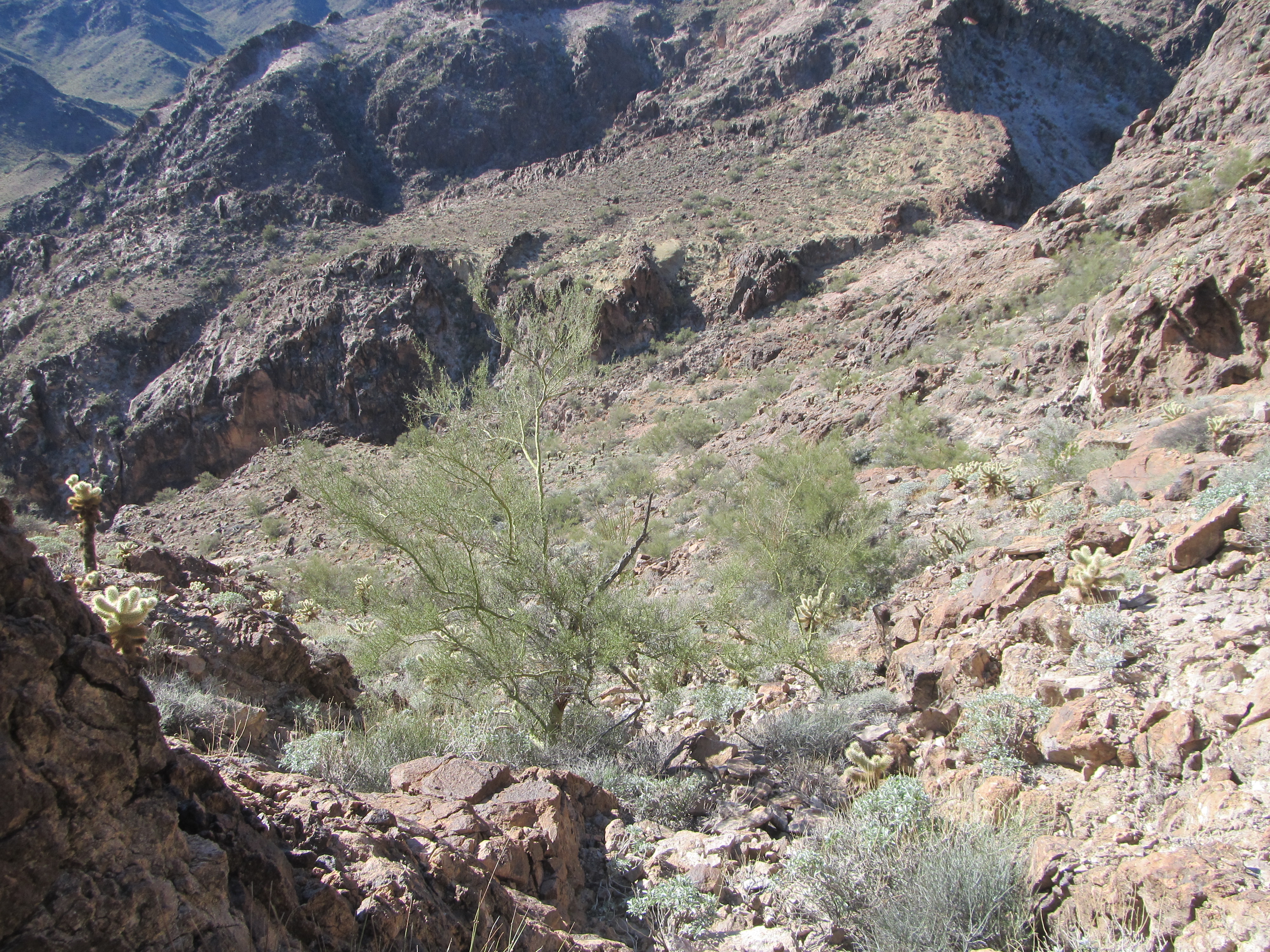
It was a mighty thrash back down the canyon itself, a total physical workout in every way. Above the canyon bottom stretched endless fields of rock.
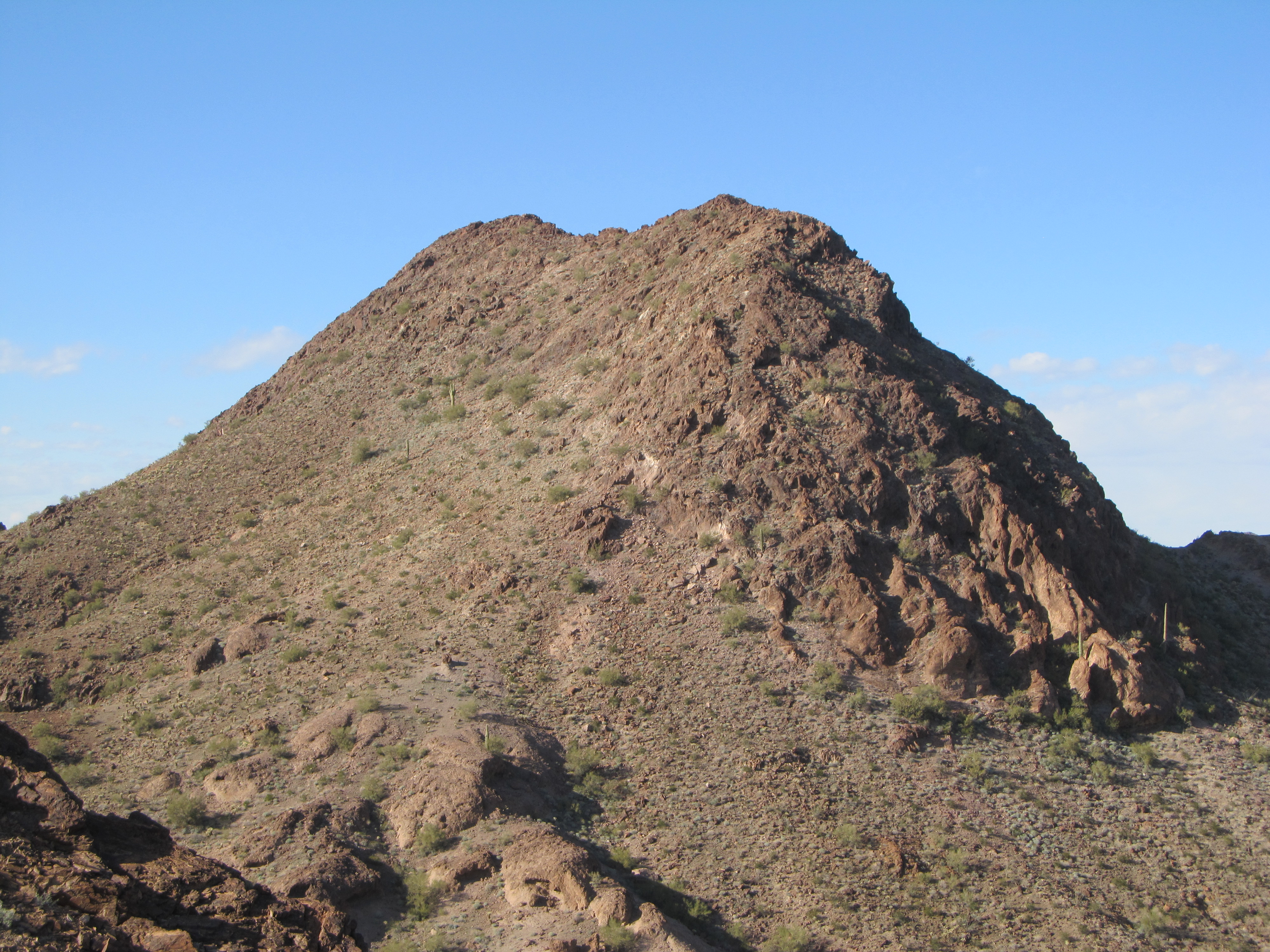
Eventually, we spilled out at the bottom, then made an abrupt turn up an entirely different drainage. After a well-deserved lunch break in the shade, we carried on up our new wash. A mile later, we started up our second peak of the day. Although the temperature couldn’t have been above 60 degrees F., I felt really warm as we clambered up the rocky slope. Moving slower than Luke, I eventually reached the top. It was 1:30 PM when we stood on the untrodden summit. Large plates of rock were all over the place.
As Luke filled out a register, some motion caught my eye. An animal had moved nearby and I went over to have a look. As I approached, a large lizard had wedged itself in between two of the summit rocks to avoid me, and I wanted to have a better look. I could see its tail sticking out, so I grabbed it, hoping to pull it out for a photo. It just crawled in deeper, but I’d had enough of a look to identify it – it was a chuckwalla. I’d only ever seen one other, and that happened to be with Luke several years earlier, also on a remote, rocky mountaintop in the Sonoran Desert. Check out the link to learn more about these uncommon, large lizards.
We had ascended the west ridge, and now that it was time to leave, the southeast side looked do-able. It was steep and loose, but it eventually worked. Here’s a look back at the side we descended.
The southeast side
We were on the home stretch. From a low saddle, it was a quick climb up to our last one of the day, another virgin summit. This was no time to linger, as we wanted to get back to camp before it was dark. Another register, and down we went to the waiting valley below. Here’s a last look back to that third and final peak of the day.
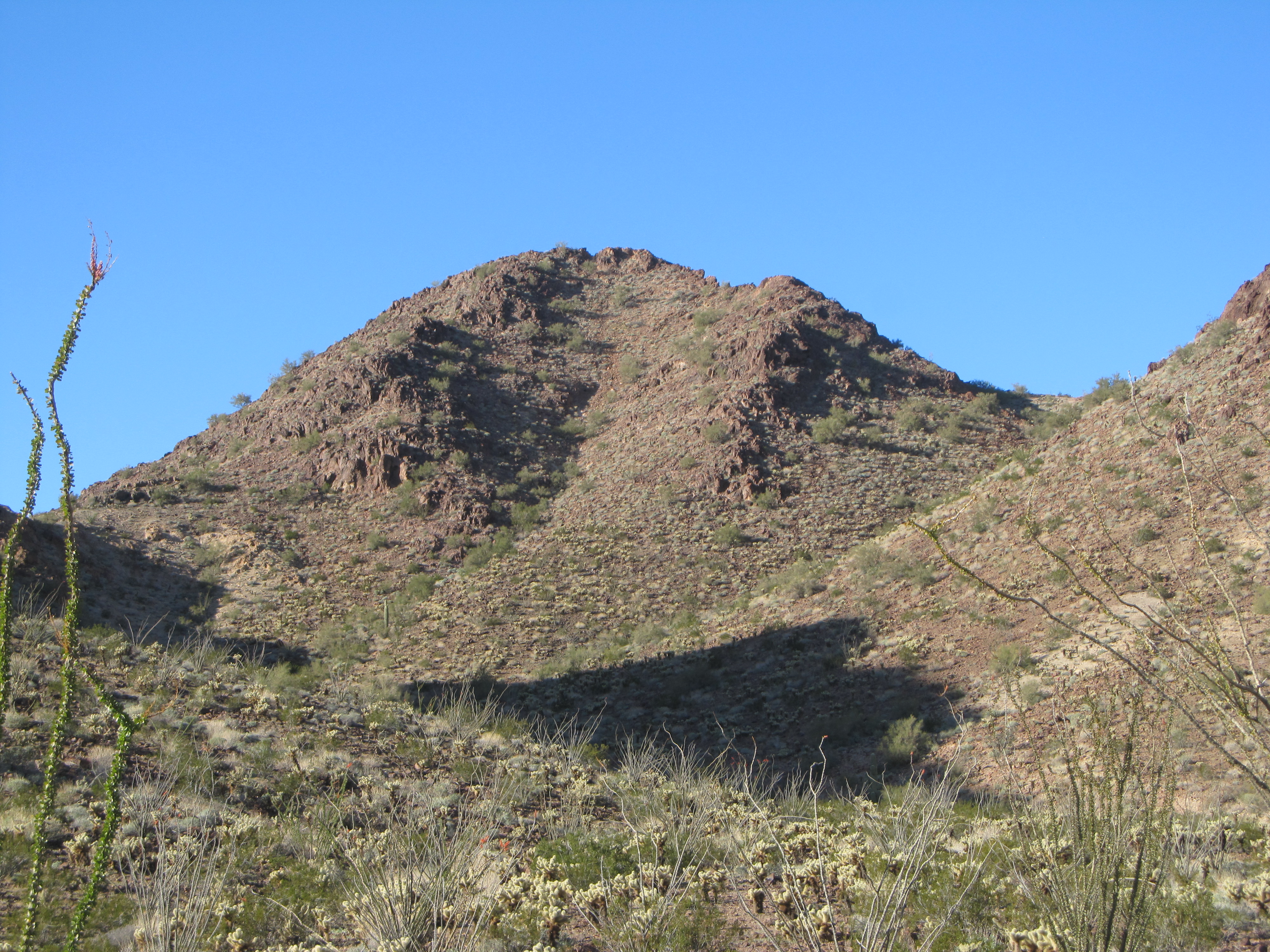
The downhill side of our last peak of the day.
A few more miles took us back to camp, which was already deep in shadow. Try as we might, we couldn’t seem to get back any earlier due to the amount of climbing we needed to do each day. As we pondered our day, we were so glad we had done the hardest one first – to have been unlocking its secrets so late in the day in the failing light would have been an un-nerving experience.
So ended Day 2 of the trip. Please stay tuned for Part Two of this story, entitled The Heart of Darkness – Part Two.