
In February of 2014, an amazing thing happened. Mark Adrian and I spent 9 incredible days in the Granite Mountains of Arizona. We made a sweep of the range from south to north, carrying everything on our backs (including all our water) in a truly herculean effort. To this day, it stands as the most amazing and challenging effort of our lives. You can read all of the details of that once-in-a-lifetime trip on this website in a 4-part story, starting with this one:
In spite of what we’d accomplished, as the years passed I became aware of some unfinished business back in the Granites, and it started to wear on me, like an itch you can’t scratch. There were a few more peaks that we hadn’t done, and they begged to be climbed. The reason I hadn’t gone back in to do them was that the Air Force had posted signs forbidding anyone to drive their roads past a certain point, forcing a walk of about 20 miles one-way just to reach the vicinity of the peaks. For me, that was probably the biggest deterrent for going in.
Fast-forward to early 2018. Two of my climber friends told me that they had driven those very roads to climb a peak in the range and had met with no opposition. I was emboldened. Once the summer heat had passed, I knew it was time to make my move. Came the perfect time in November, and away I went – the pundits promised cool, clear weather, just what I needed to do the deed. Now truth be told, another reason I had hesitated so long was that the area was so very deep in our remotest desert, so far beyond any help if you ran into trouble. The thought was a sobering one, especially if alone, but the lure of those peaks won out in the end.
Three hours of freeway driving brought me to my jumping-off point, a farming community known as Tacna. With a full tank of gas, I headed south into the desert. Five miles in, all vestiges of civilization were fading in my rear-view mirror. I was traveling a good dirt road and easily able to do 40 miles an hour. This was the Mohawk Valley, a 10-mile wide swath of desert that was “flatter than piss on a tin plate” as my old man used to say. Perhaps 15 miles in, I saw a vehicle approaching from the south. It was black, and unmarked. We cautiously narrowed the distance between us, then stopped beside each other and got out to talk. The lone occupant was dressed in camouflage clothing and, upon seeing that, I asked him if he was military. He responded that he was in fact Border Patrol and based out of the Yuma station. Excellent!
I had been hoping to run into someone from the patrol – they have always been supportive of climbers and very helpful. I took out my maps and showed him exactly what my plans were for the next 3 days, admitting right away that I knew full well that I might be going where it wasn’t quite permitted. He had no problem with that – all they care about is that you’re not one of the Bad Guys. He said he’d spread the word of my plans and whereabouts at the morning muster at the station the next day. I wanted them to know so they wouldn’t become alarmed at my presence out there when I set off remote sensors or was spotted by their infrared sensors from aircraft. He then shared with me the following piece of information: drug runners were now carrying loads of methamphetamines northwards and traveling through a pass in the Mohawk Mountains only 6 miles from our present position, then heading up the east side of the range to the same freeway I’d left only an hour earlier. I thanked him for that – we shook hands and went our separate ways.
I soon reached the point where signage said “Thou shalt not pass” – of course, I paid no attention and blew right on by. Miles later, I crossed over to the San Cristóbal Valley, then began driving a long stretch over to the Granite Mountains. One striking thing about that valley was that hundreds of tow darts glistened in the sunlight all around me. These are large dart-shaped objects with wings made of a lightweight honeycomb material and an outer aluminum skin. They are towed behind a plane while another plane shoots at them for target practice. Here is one that fell to earth and embedded its tip deep into the desert soil. The portion that you can see is 15 feet long.
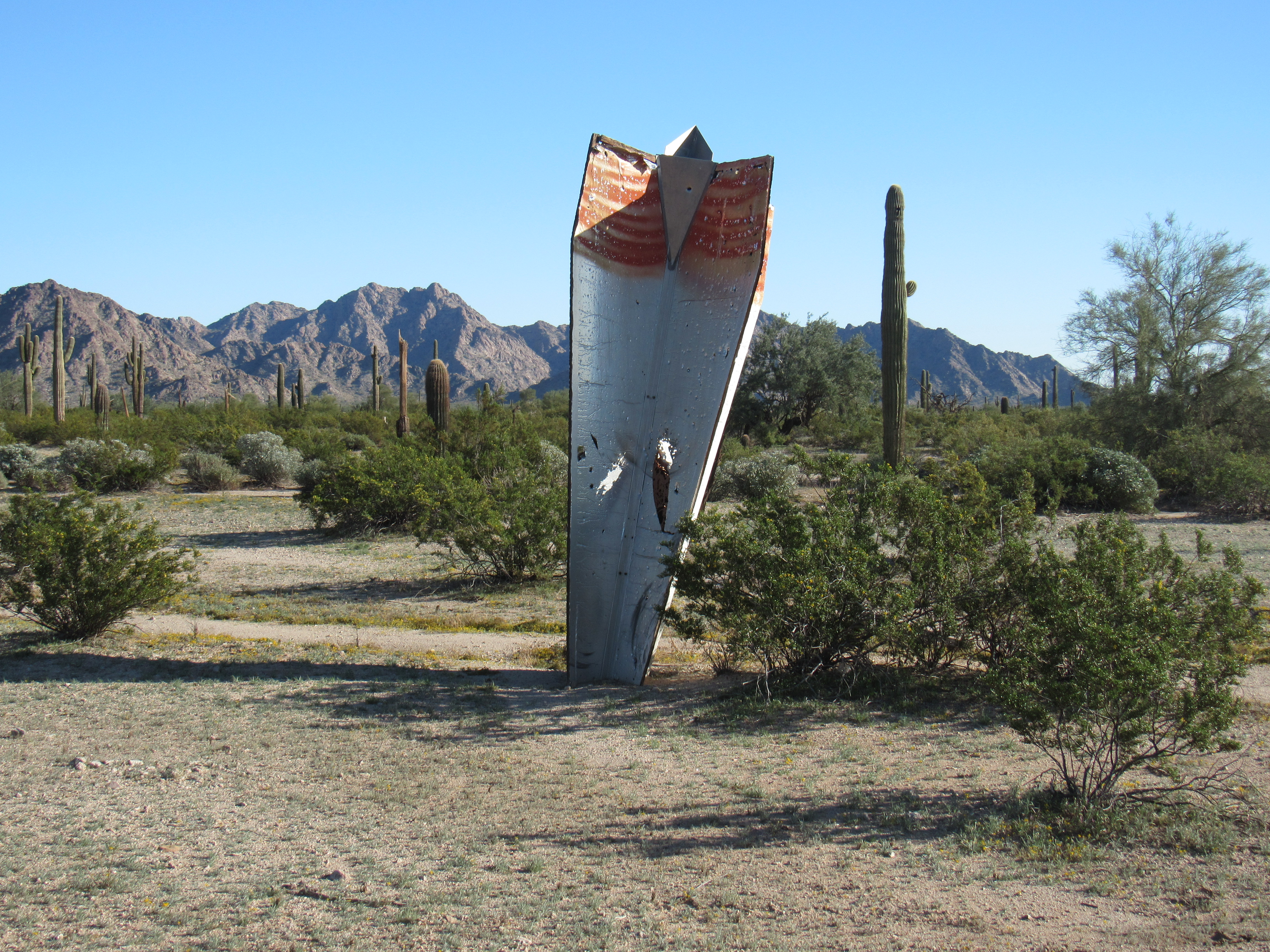
Tow dart
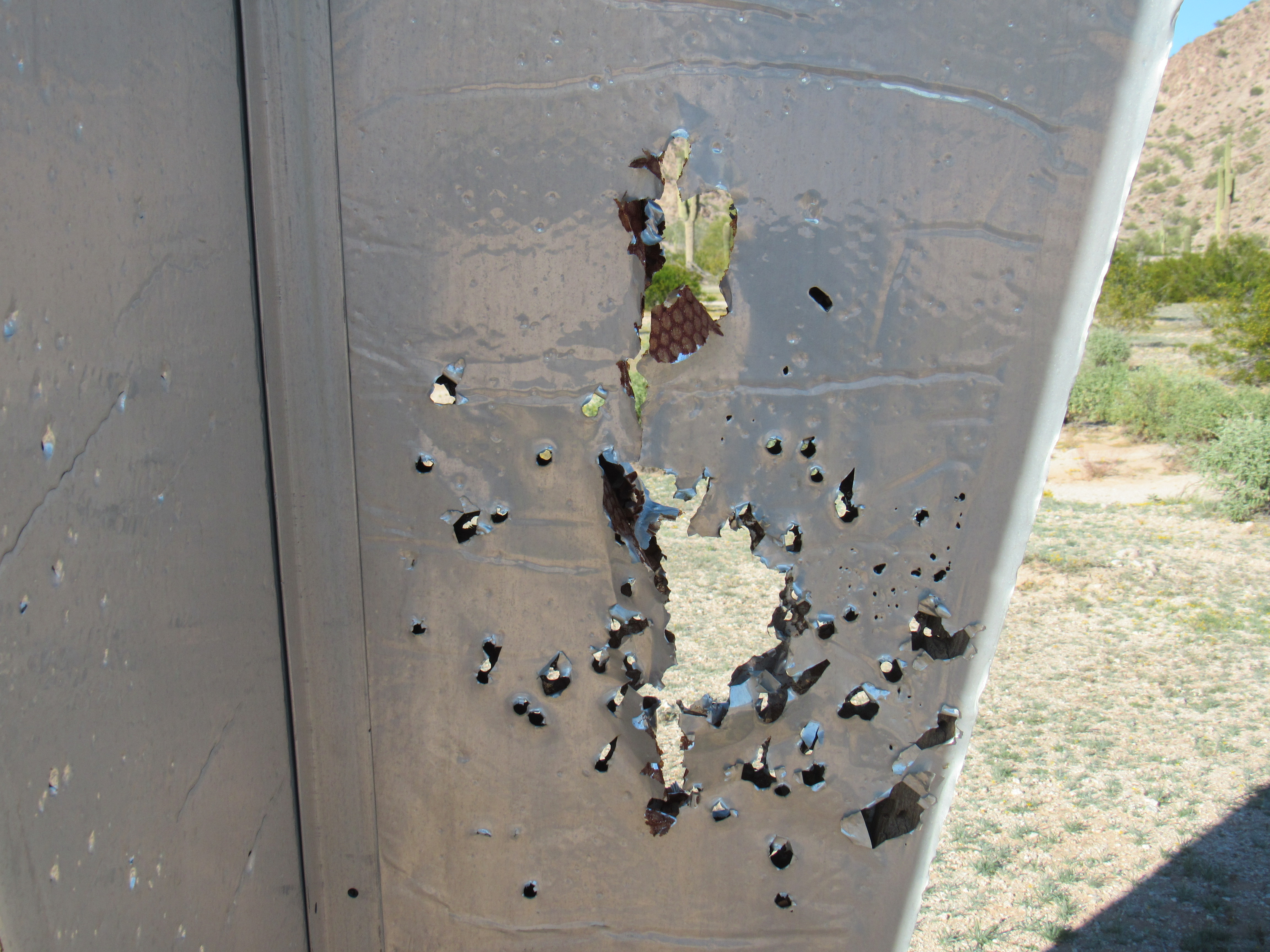
Here’s a close-up showing where bullets had hit the fin.
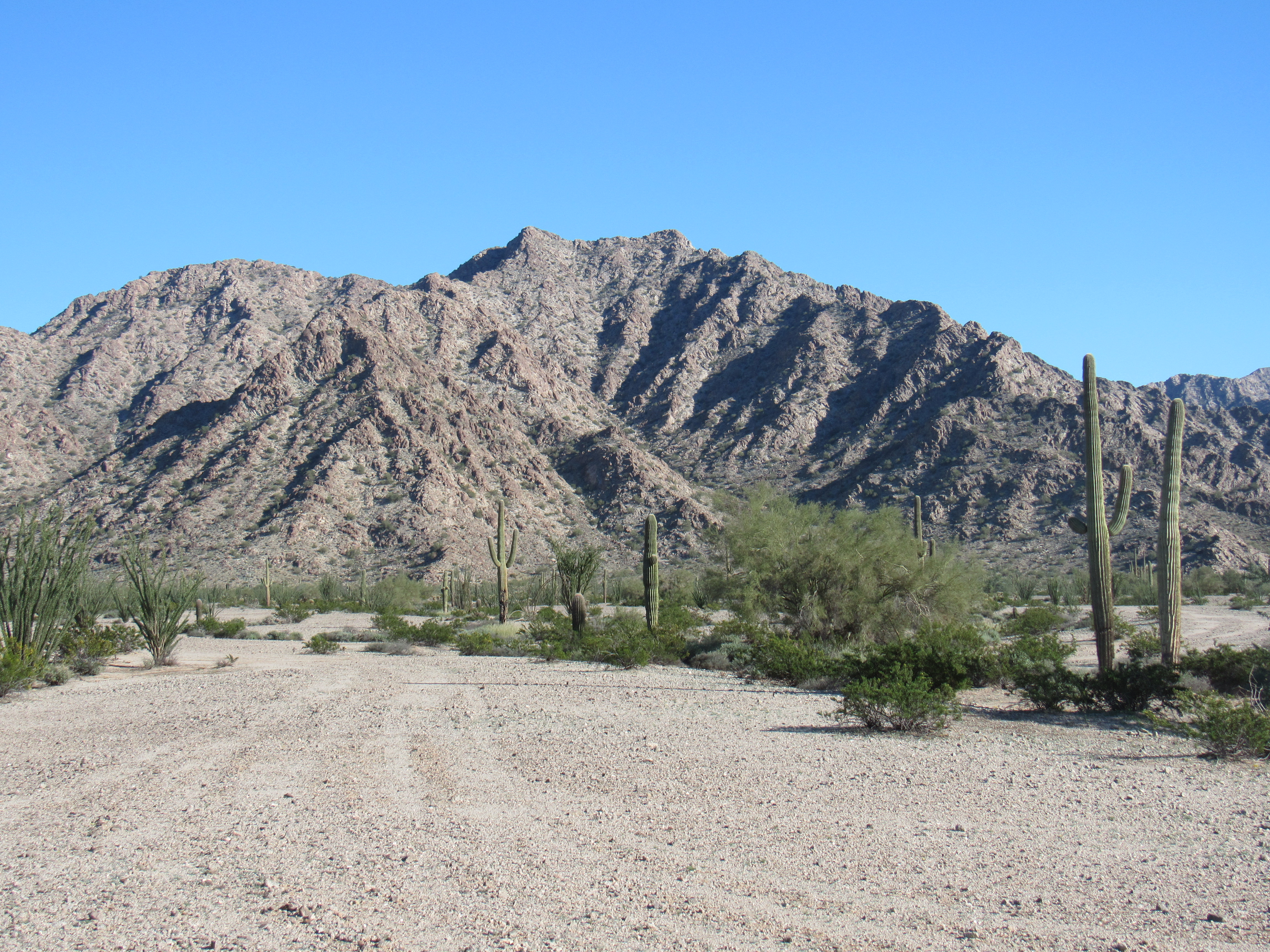
By the time I had arrived at the Granites, it was late in the afternoon. I got my pack ready and set out for my first summit, which would turn out to be the shortest climb of the trip. It was a perfect 70 degrees with a clear-blue sky and quiet as a tomb. It was already four in the afternoon and I was losing the light. As you can see by this next photo, Peak 1350 was a straightforward climb up its eastern slope.
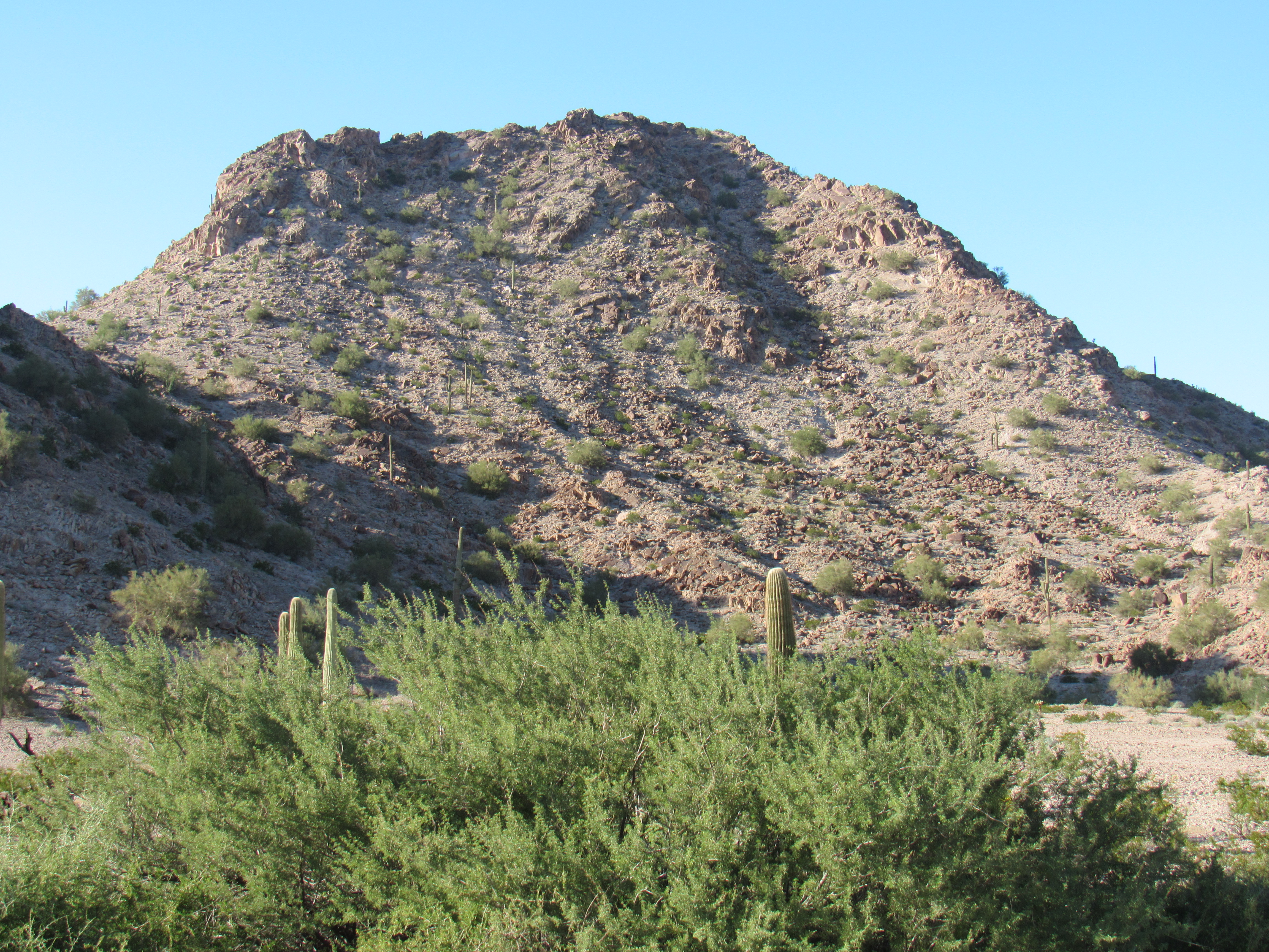
Peak 1350
The rocky summit was untouched, as I expected it would be. The Granite Mountains rarely see a visitor – in their long history, not above 20 climbers have ever visited the entire range, it’s that remote. The 4 peaks I intended to climb this weekend were completely off the radar of all of them. Back at my truck, I drove a few more miles and parked for the night. The silence was absolute. As reality set in, it occurred to me that I was now a full 50 miles from pavement. If my vehicle failed or if I suffered an injury, I might as well have been on the backside of the moon. With that reassuring thought, I crawled into my sleeping bag, knowing that help was a very long way off. It was a moonless night, the ribbon of Milky Way seeming palpable as it arced overhead. What a glorious experience, and I was only a few hours into my anticipated 3 days out here.
First light, and a crisp 36 degrees greeted me – how I hated to get out of that bag! Snacking as I readied my day pack, I set out at 6:45 AM. Having studied my mountain in the late afternoon light the previous day, I had my route all figured out and it looked encouraging.
What I didn’t realize as I gazed at it in the fading afternoon light was the mistake I was making, that I was actually looking at the wrong peak! Yes, I knew my location accurately on the map, but didn’t take into account the actual compass bearing to the peak I wanted to climb. Had I done that, I wouldn’t have made the error I was about to commit. It was a simple walk across the desert, and I soon arrived at the mouth of the big canyon on its south side. This was messy terrain, and as I grumbled my way higher up it I thought I’d better check my actual position. I have this really cool app on my cell phone called Back Country Navigator – to use it, I put the phone into airplane mode, then open the app. The phone connects to satellites and shows me my real-time position on a topographic map I had previously downloaded into the phone’s memory, so that as I move an indicator shows me exactly where I am. When I used the app to show me my location, I was shocked to see that in fact I was too far north, and that I had begun a climb of Cholla Benchmark. Dave Jurasevich and I had climbed it together almost 19 years earlier, and it was not where I wanted to be.
The worst that would have come of it would be that I’d have arrived on the summit of Cholla, found the register and realized my error. Licking my wounds, I turned around and made my way back down the canyon. It was quick work to move farther south and arrive at the mouth of another canyon, one that climbed east and would put me on the north side of my “real” peak, the one I’d intended to climb in the first place.
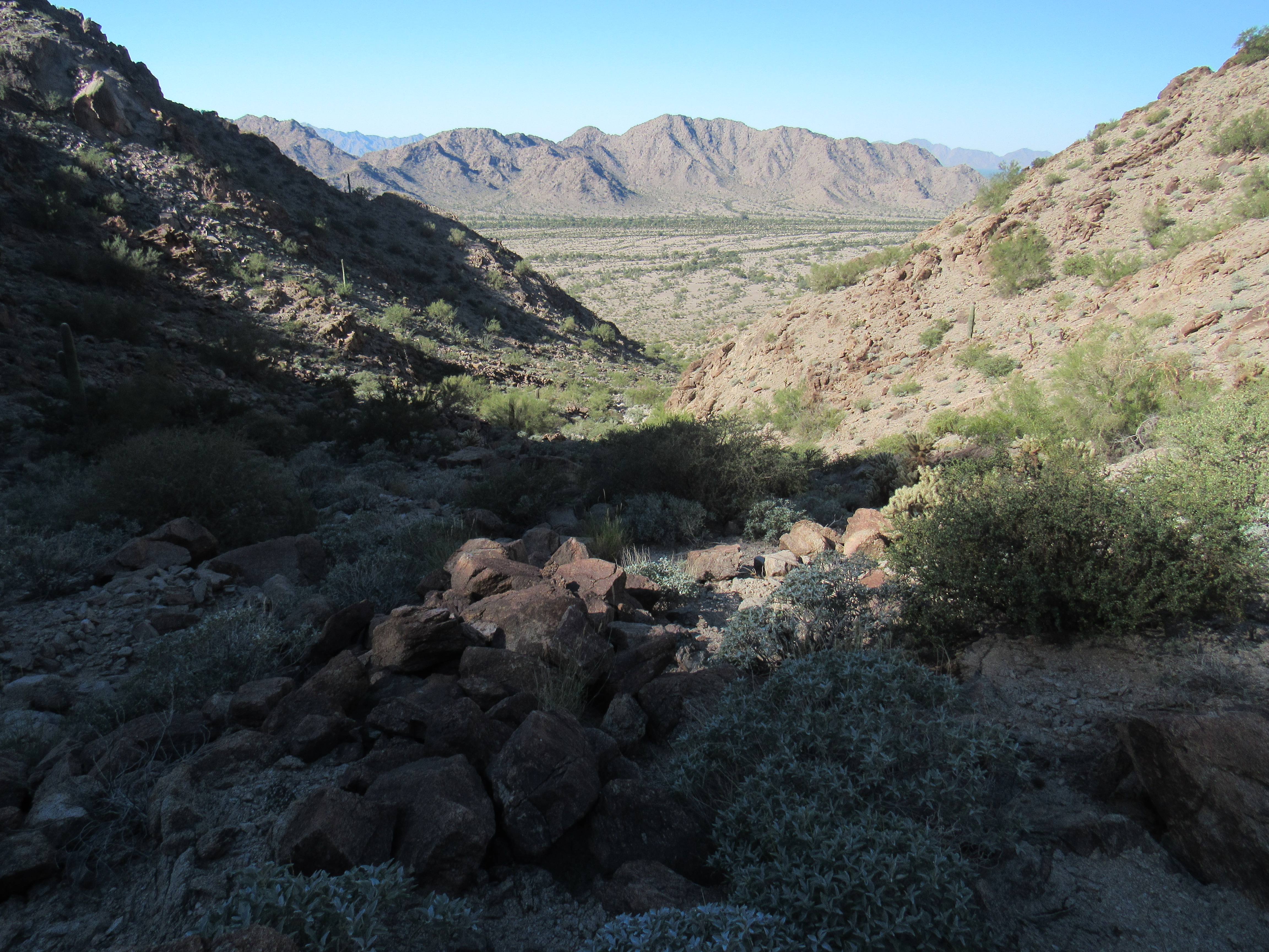
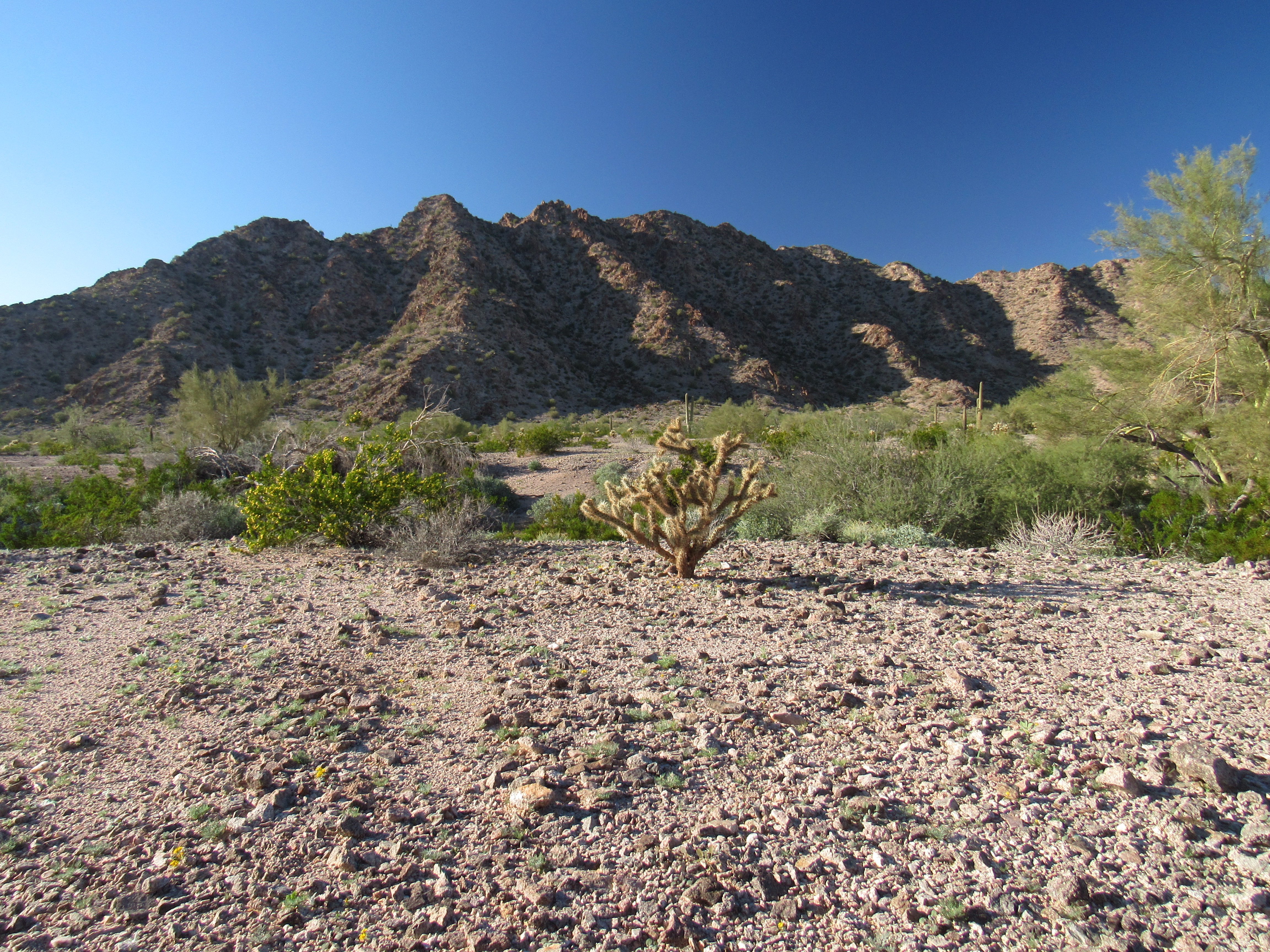
From the comfort of home, cold beer in hand, I had studied my peak in detail – its topography, its satellite images, its approaches. I had concluded that the south-southeast ridge showed the most promise, but as I’ve said in the past, you’ve gotta be careful of what you conclude from such sources, they can get you into trouble. So here I was, now trying a completely different route than the one I’d approved from home. Either way, it was a 1,200-foot climb from camp to the summit. So here I was, climbing up this canyon on the north side of the peak, reaching its head, then continuing up the north ridge. Man, this thing was steep! And slippery to boot, all decomposing granite – the range is aptly named.
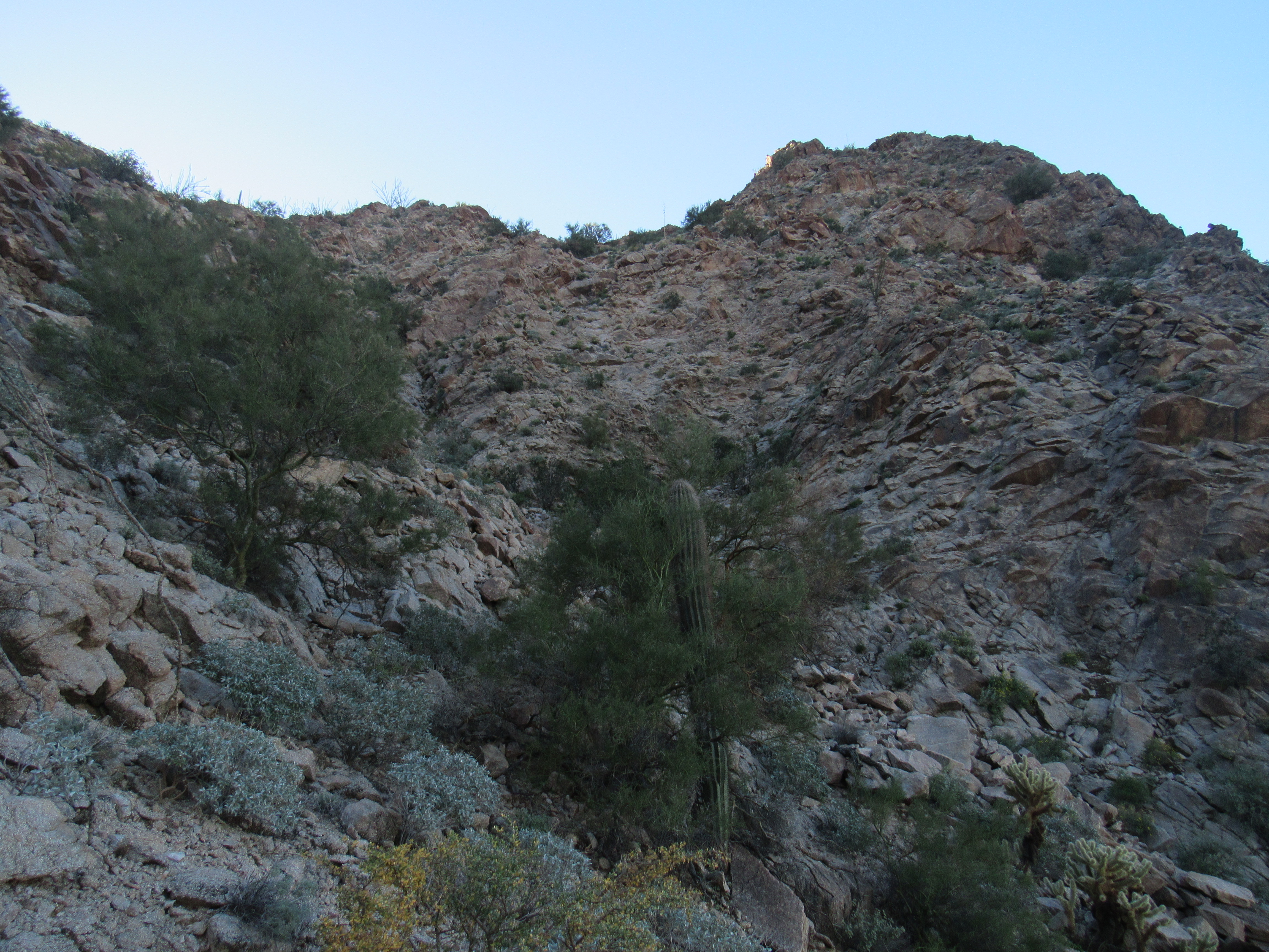
The north side
It kept me guessing for a while, but, the steep part done, I stood on the abrupt summit ridge and had my first glimpse of the top.
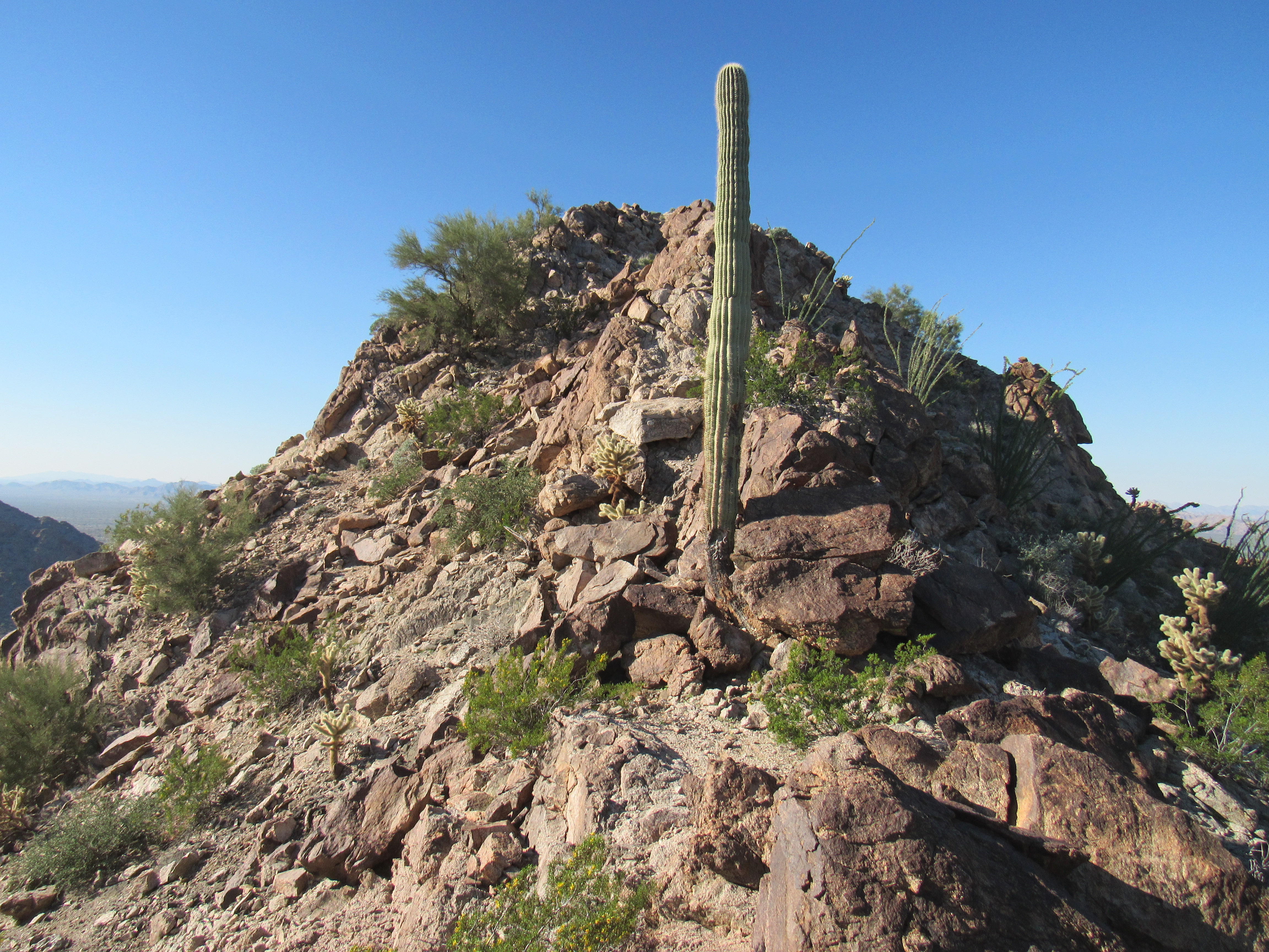
As I walked the final few feet to the summit, I could tell right away that it held no piled stones, no register, no sign of any prior visitors. As I sat and caught my breath, I happened to look down the south side and at that south-southeast ridge I’d scoped out on the computer. Hah! It’d’ve be a fool’s errand trying to come up that way, and I was so glad I hadn’t. I would’ve ended up in a hellish rock-fest of verticality, and probably would have spent much time and effort figuring out some Plan B.
Here I was on top of Peak 1963, my main goal of the trip accomplished, and I was as happy as a tornado in a trailer park. Now I could calmly look to the north and see Cholla Benchmark, the one I almost climbed earlier – it’s a full 157 feet higher.
Cholla
Here’s something else that caught my eye – barely 2 miles to the east sat Peak 1141. On the last day of climbing on our 2014 expedition, Mark Adrian and I sweated our way up it, facing the grim possibility of running out of water 15 miles short of our finish line.
Peak 1141, the black beauty
After leaving a register, I headed back down the route I’d flagged on the way up. Before I knew it, I was back down into the canyon proper, much of it still deep in shadow. Here is a view I had of the next mountain I planned to climb, across the valley to the west.
The next one
As I walked across the desert back to my truck, I felt something funny on my right foot. My boot was coming apart, and by the time I arrived here’s what I saw.
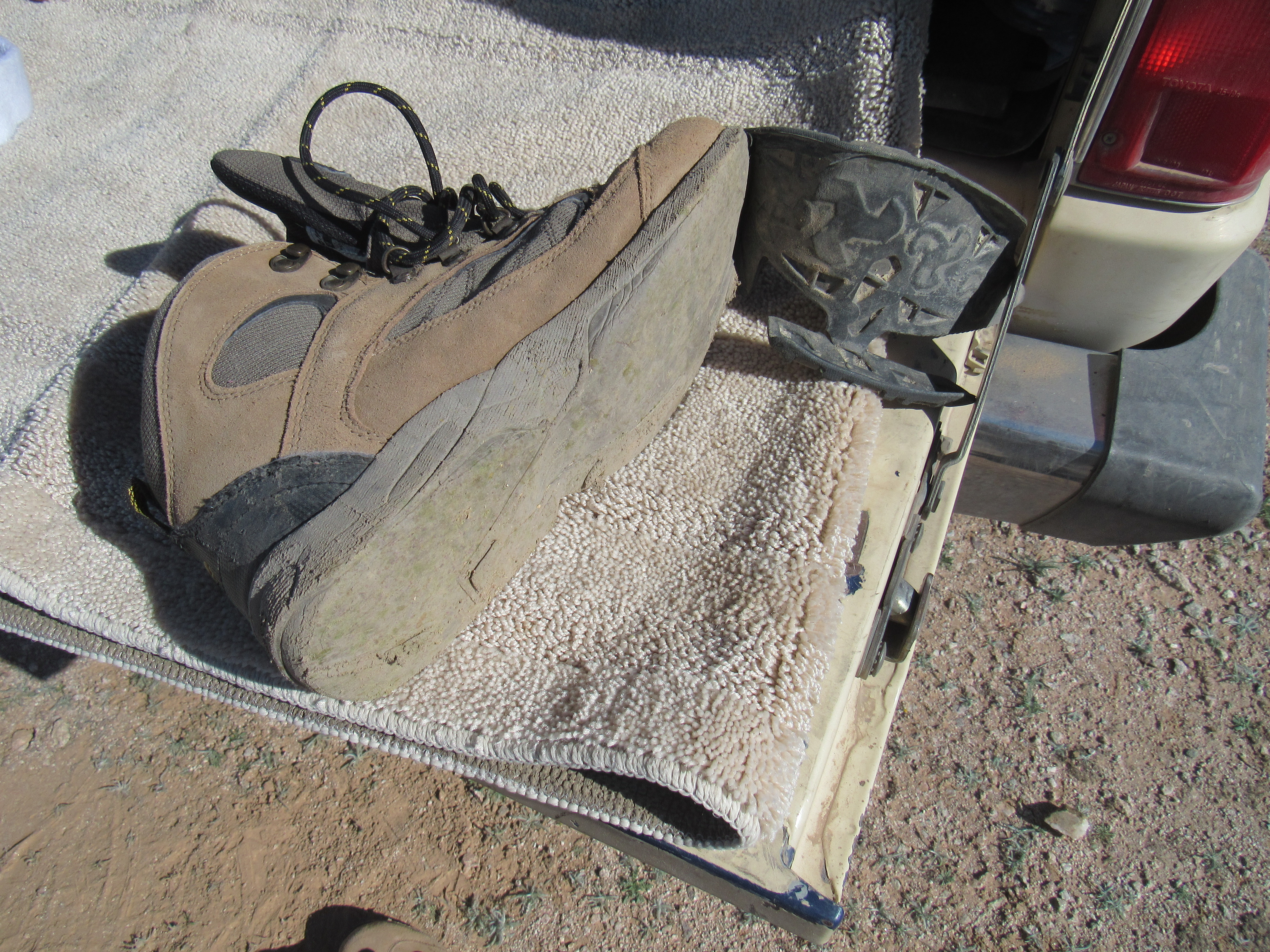
The ex-boot
The heel had departed the boot at some unknown earlier time in the day, and the entire rest of the sole was hanging on for dear life. This was only the second day I’d ever worn these boots! They were made by a company called Hi Tec. A real p.o.s. pair of boots! There certainly wasn’t anything high-tech about them. Fortunately I had a second pair of boots, better ones, with me. Four hours had been spent on my morning jaunt. I had a bite to eat, then shouldered my pack for Round Two. Oh, here’s a look back to the one I’d just climbed.
Peak 1963
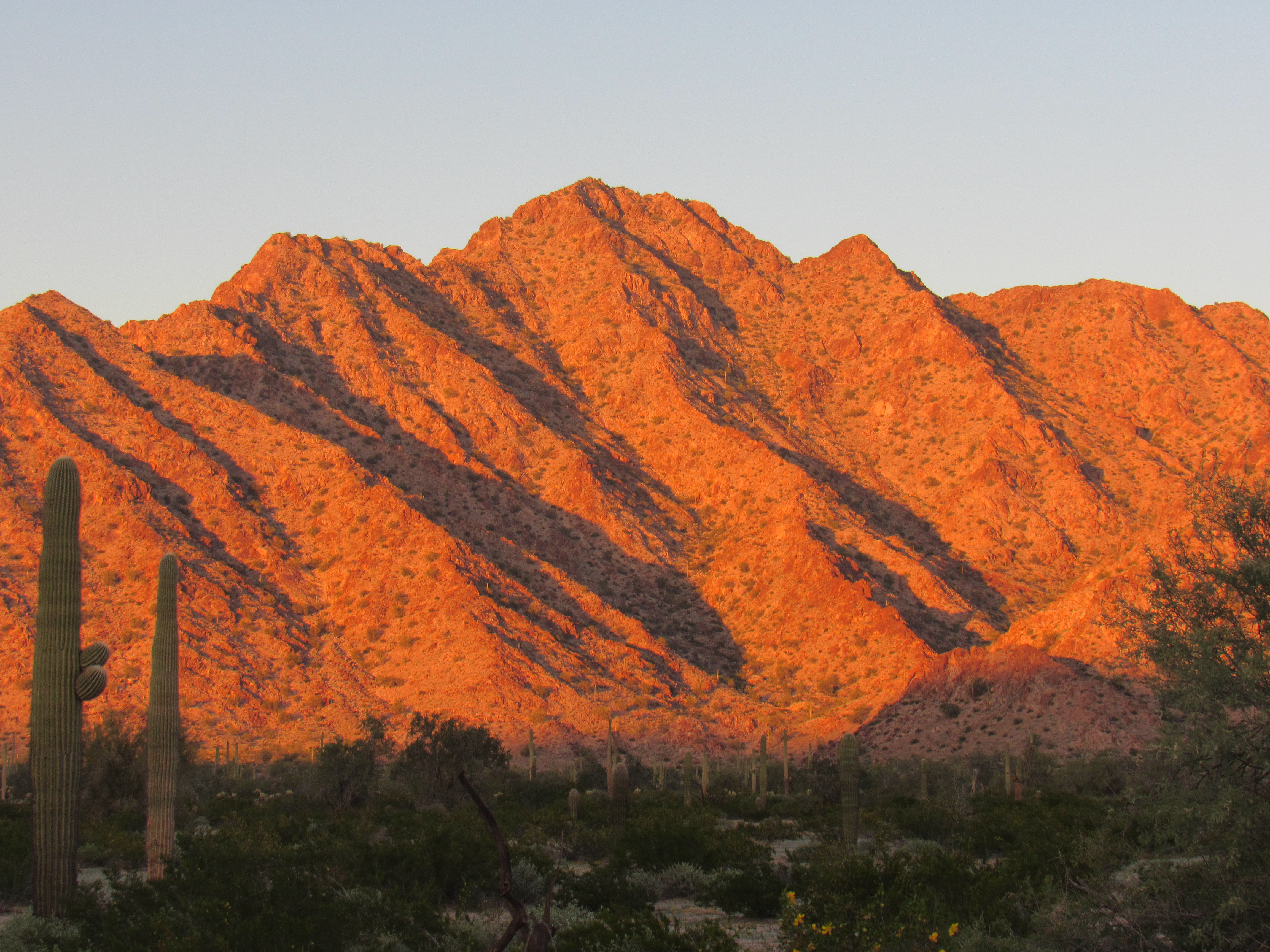
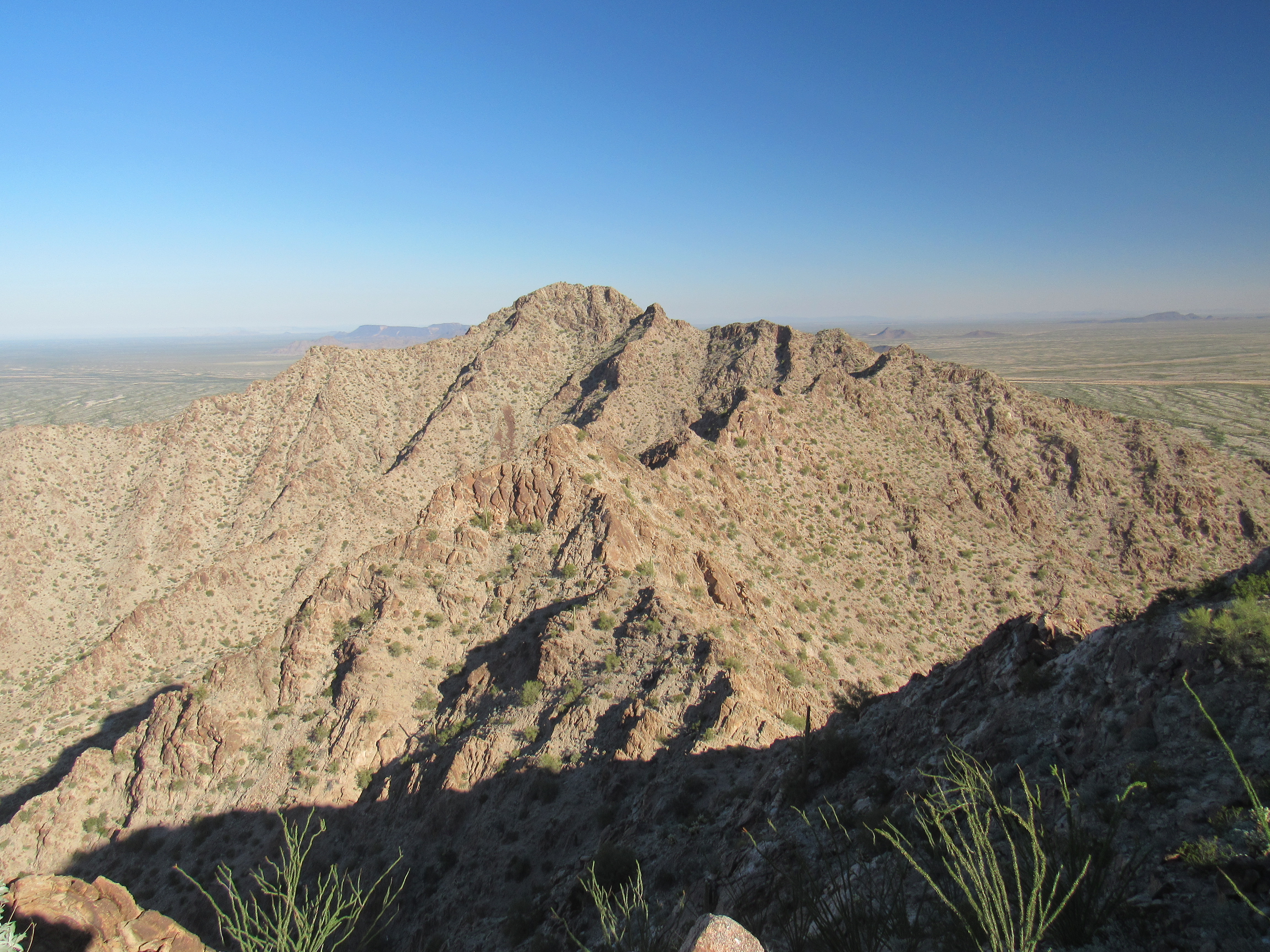
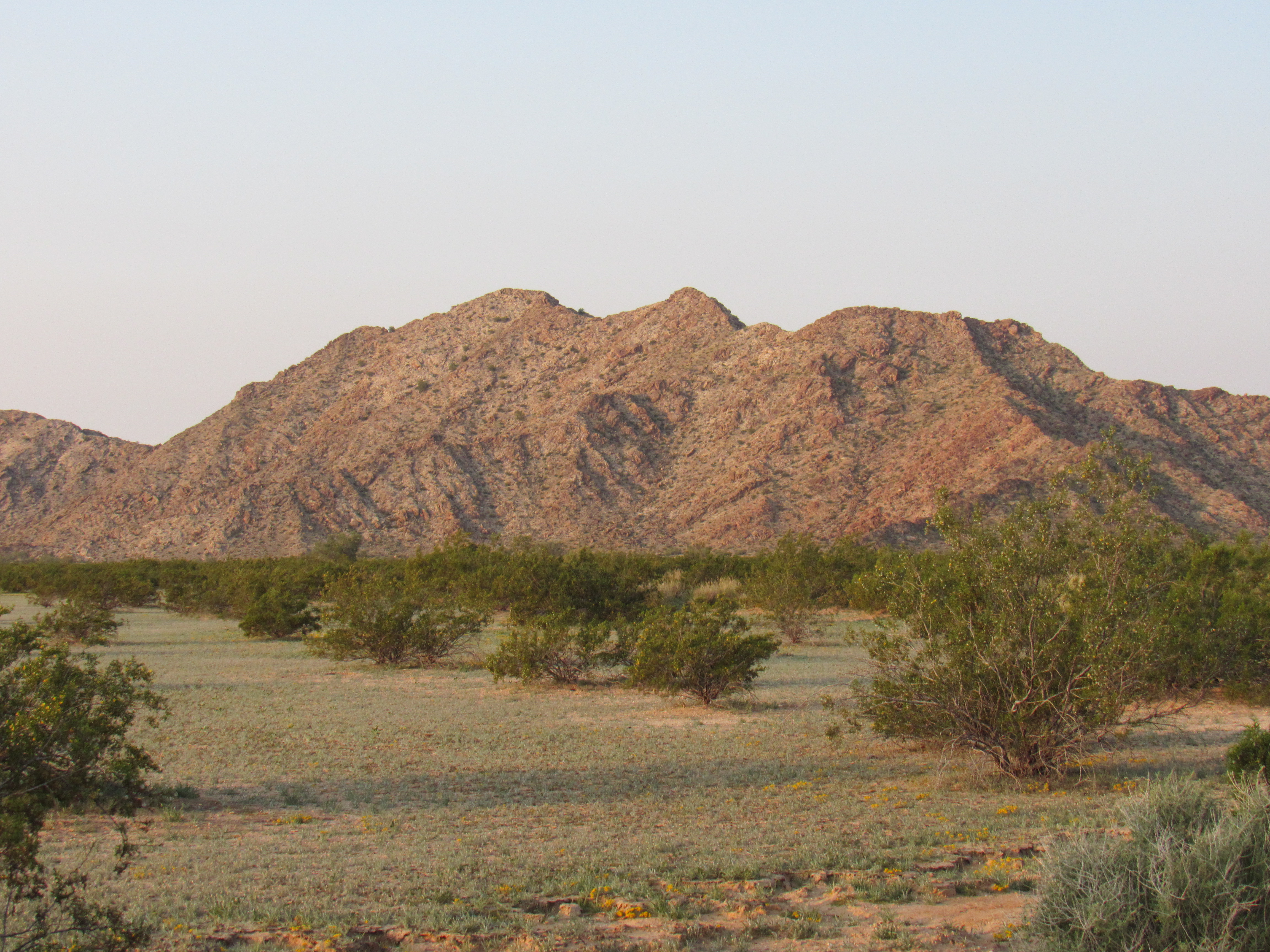
Heading west across the desert floor, I made my way up to a saddle in the southeast ridge of my next peak, then worked my way up some Class 3 in the last 400 feet to arrive on the summit of Peak 1618. This would turn out to be the most challenging peak of the trip. One of my favorite views from the top was this one of the entire Aguila Mountains, about 8 miles to the north. The dark line of drainage running across the picture from right to left out there in the middle of the valley is Growler Wash.
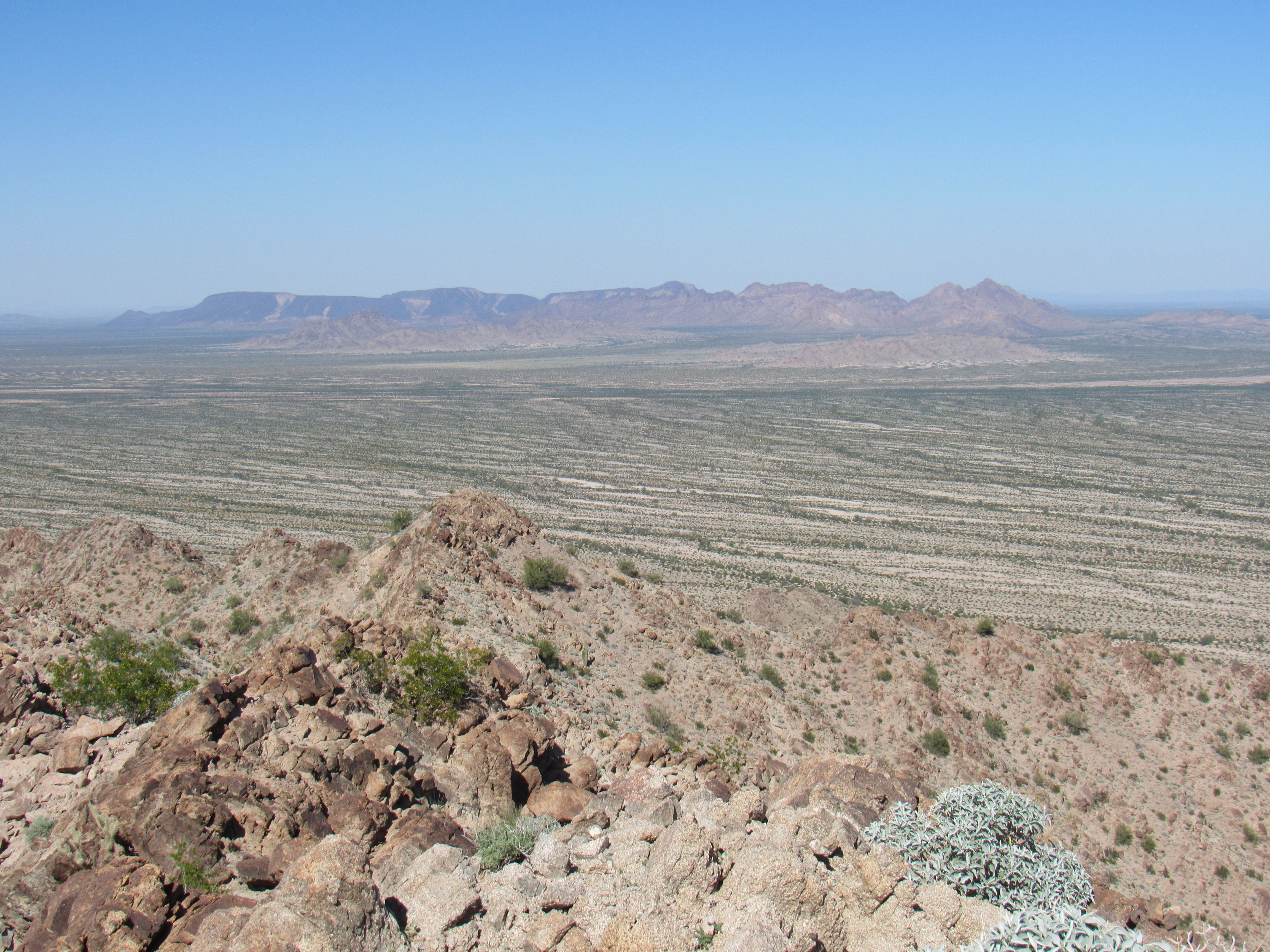
The Aguila Mountains
It seemed prudent to take a different way down, given the looseness of the decomposing granite and the steep terrain, so I chose a canyon on the northeast side of the mountain. It took longer but was safer – I never lose sight of the need to be extra-careful when I’m out in a place so remote and by myself. Over two and a half hours had passed by the time I arrived back at my truck.
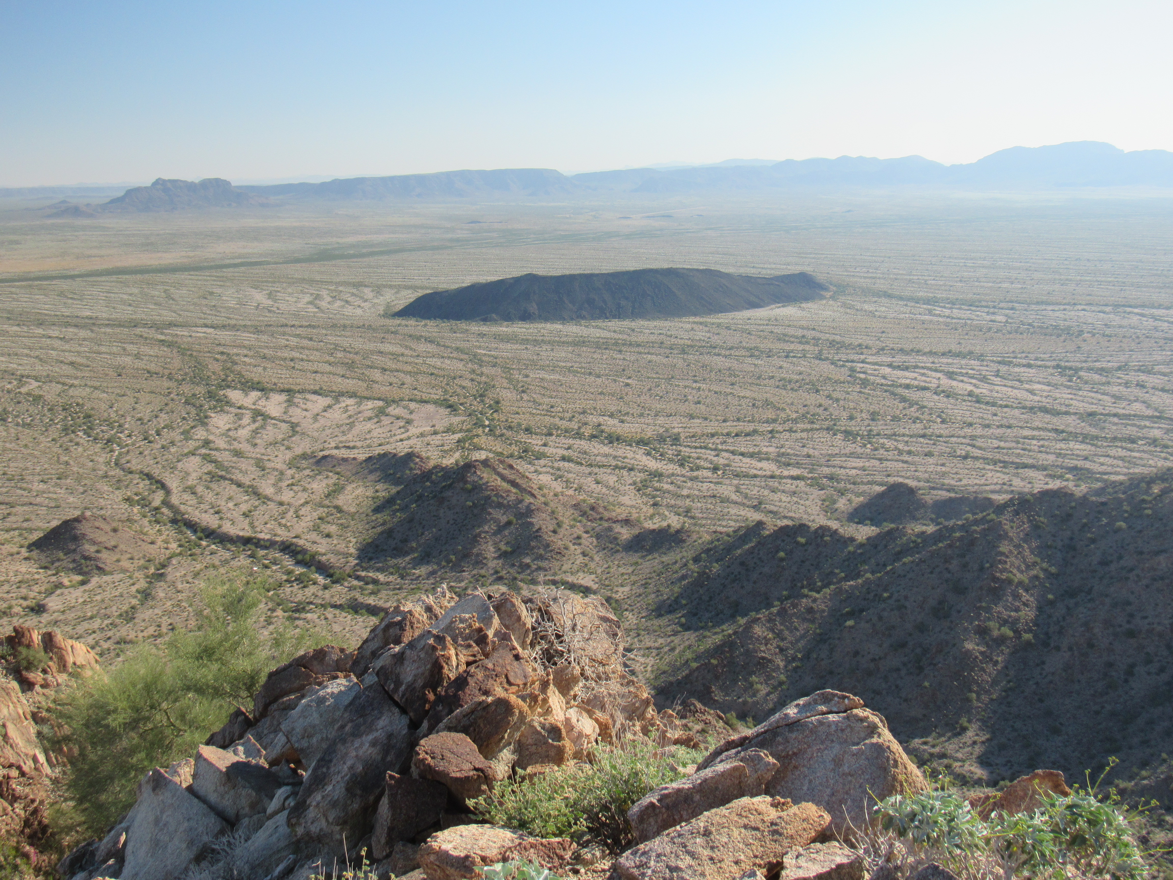
The main reason I’d come out here was to climb a group of 3 peaks which stood alone, an island of sorts, detached from the main body of the range. This group sat to the west of the range and at its northern end. If you click on the link to Peak 1618 up above, when it opens up zoom out and you’ll see the island, running north-south over a distance of 3.4 miles. I had just finished the northernmost one, 1618. The one I did late the previous day, Peak 1350, was the southernmost. Only one remained, and I was heading there now. As I drove south, I had this view of Peak 2241, a real beauty that Mark and I had climbed in 2014. It towers 1,400 feet above the valley.
The west side of Peak 2241
By the time I had reached the southern end of the group, I swung around and entered a different valley, one that was tucked in between hills and faced south out to the San Cristóbal Valley. I parked in a spot that would make an excellent camp-site, then considered my options. It was getting late – where had the day gone? I had one more to climb. Could I do it now and finish before darkness fell? The peak didn’t look like much of a climb at all – I should be able to make short work of it. To look at it, you’d think it was only 300 feet or so, but in actual fact was 750. Much of it was already in shadow, so it’d be a bit of a race.
Peak 1554, southeast side
I grabbed my pack, threw in a register and set out. I had to cross the grain, negotiating a few gullies, before I arrived at its base. As I climbed, I soon became soaked in sweat, and felt chilled if I stopped for a bit – the temperature was about 70 degrees, cool for this time of year. When I reached the summit, I stepped back into the sunshine and enjoyed the warmth. It didn’t take long to realize that there was no register on this one either, no sign at all of any previous visitor. That had been the case on all 4 of my peaks so far – I guess I was the only one who had any interest in coming out here. This was such an amazing place, and I was so glad I’d come out here.
Shortly after I left Peak 1554 and started down, the sun set and I started to lose the light. By the time I reached my campsite, it was dusk – I needed to break out my headlamp in order to heat a simple supper. Later, I sat in the dark, marveling at the immensity of the desert. The silence was deafening. I was so grateful that, in my senior years, I could still enjoy places like this.
The next morning, I started the long drive out. Only one task remained, a climb of a peak in the Mohawk Mountains. It was hard by a road and should have been climbed by others over the years, but a prominent peakbagging website indicated it had been ignored. I was able to drive right in close, and it was a quick climb up the rocky east slope of Peak 1302.
The east side of Peak 1302
Yep, the website was right, there was no sign whatsoever of a previous visit. That made 5 for 5. I was now done with my unfinished business, at least for the Granite Mountains.