
Please be sure to read the previous installment of this story before diving into this one.
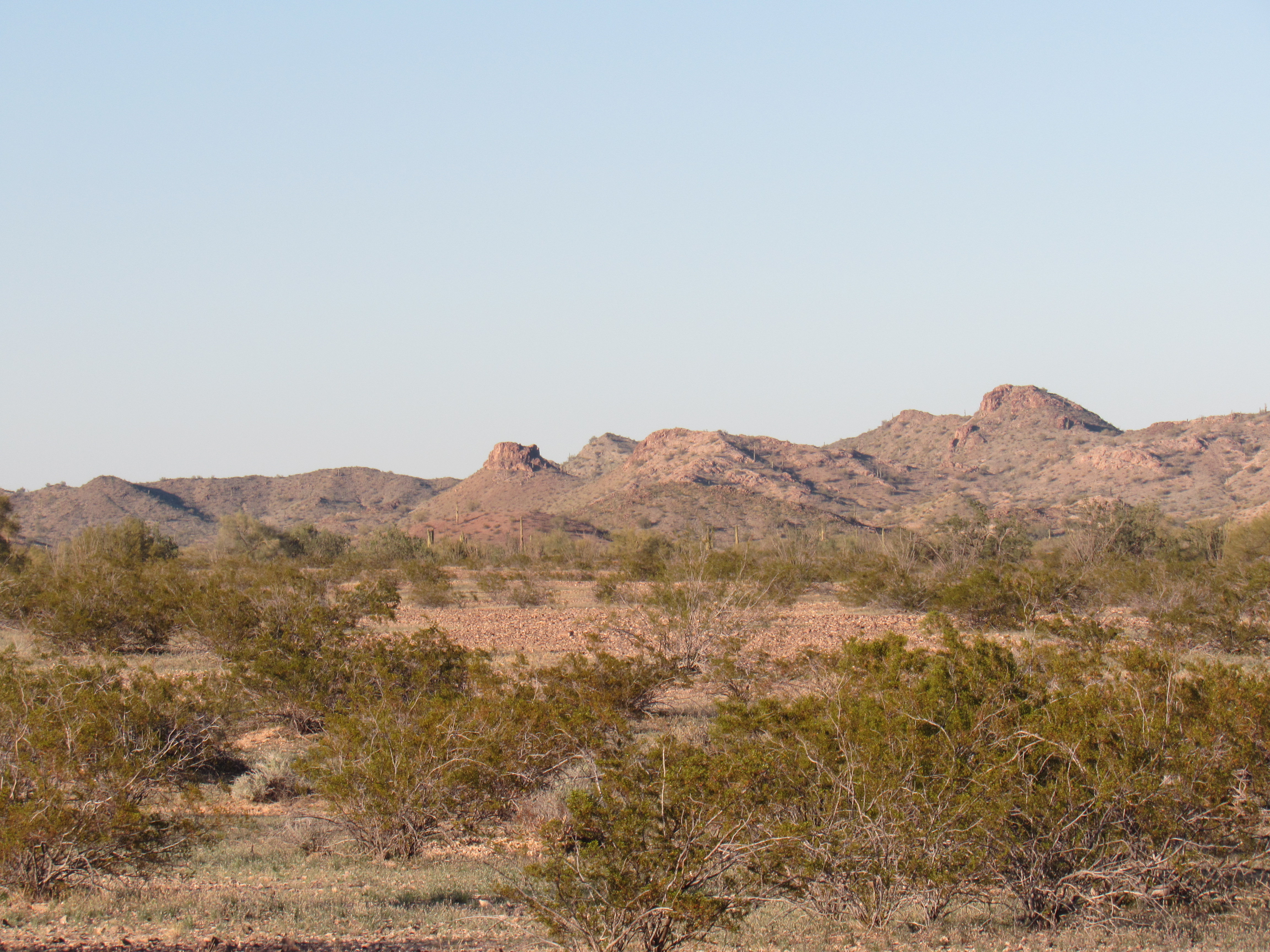
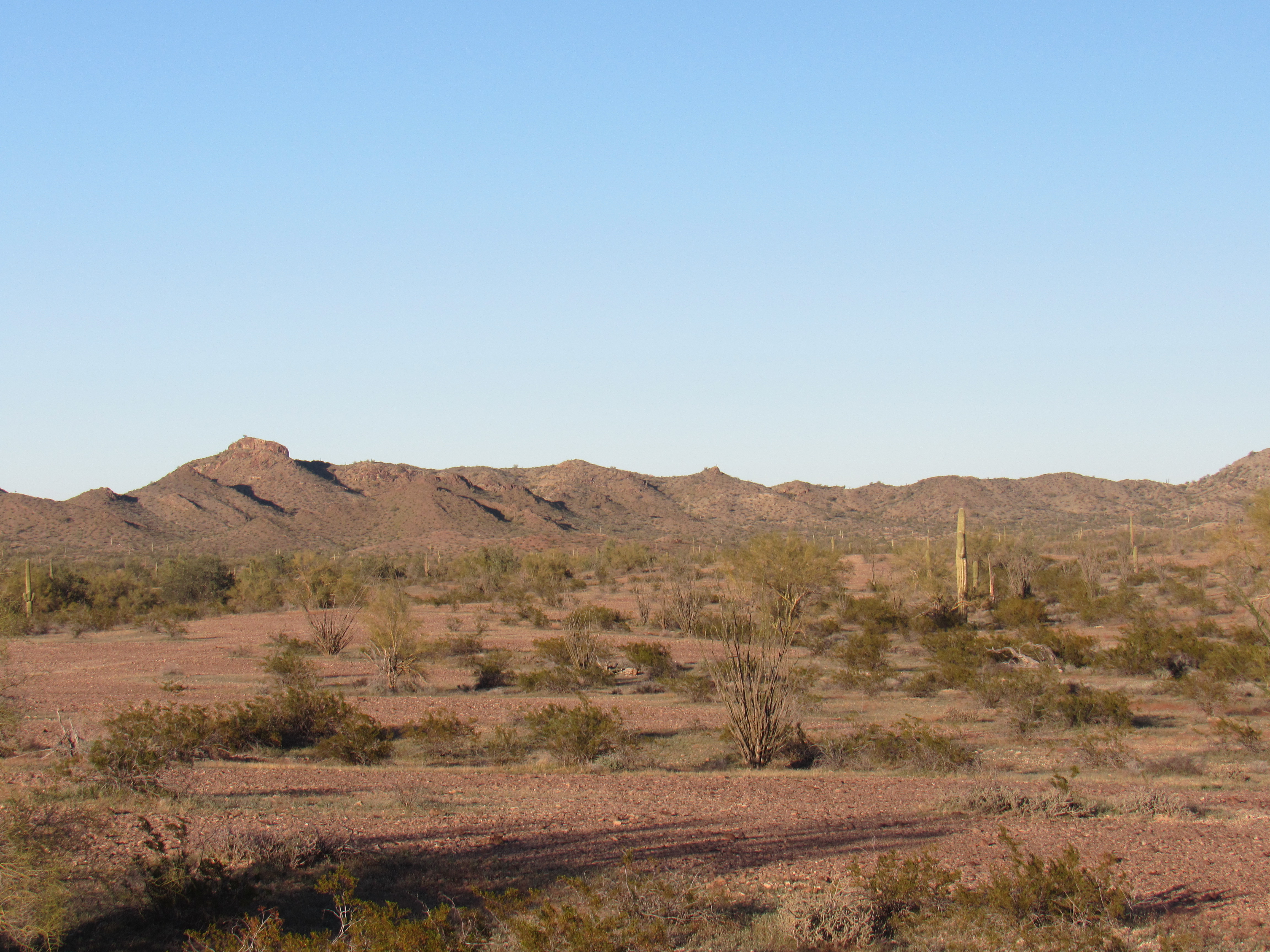
On this, my third day spent along Cemetery Ridge, my goal was none too ambitious. One peak was all I had in mind, and it looked like a good one – Nottbusch Butte. A historical note: the peak is named after Fred Nottbusch, an early settler in the Palomas area. Again, I lazed in bed until after sunrise. The day was cloudless, with only a hint of a breeze. As I sat in the cab of my truck eating my breakfast of granola stirred into Greek yogurt, I studied the map. It looked like 5 easy miles to the road’s end at a watering hole. Once I packed up camp, away I went along the excellent dirt road, enjoying the outstanding desert scenery. I was entering an area of Cemetery Ridge which had many small bumps, each interesting in their own right, but all of which were too small to qualify as true summits. Like this one, Point 1490.
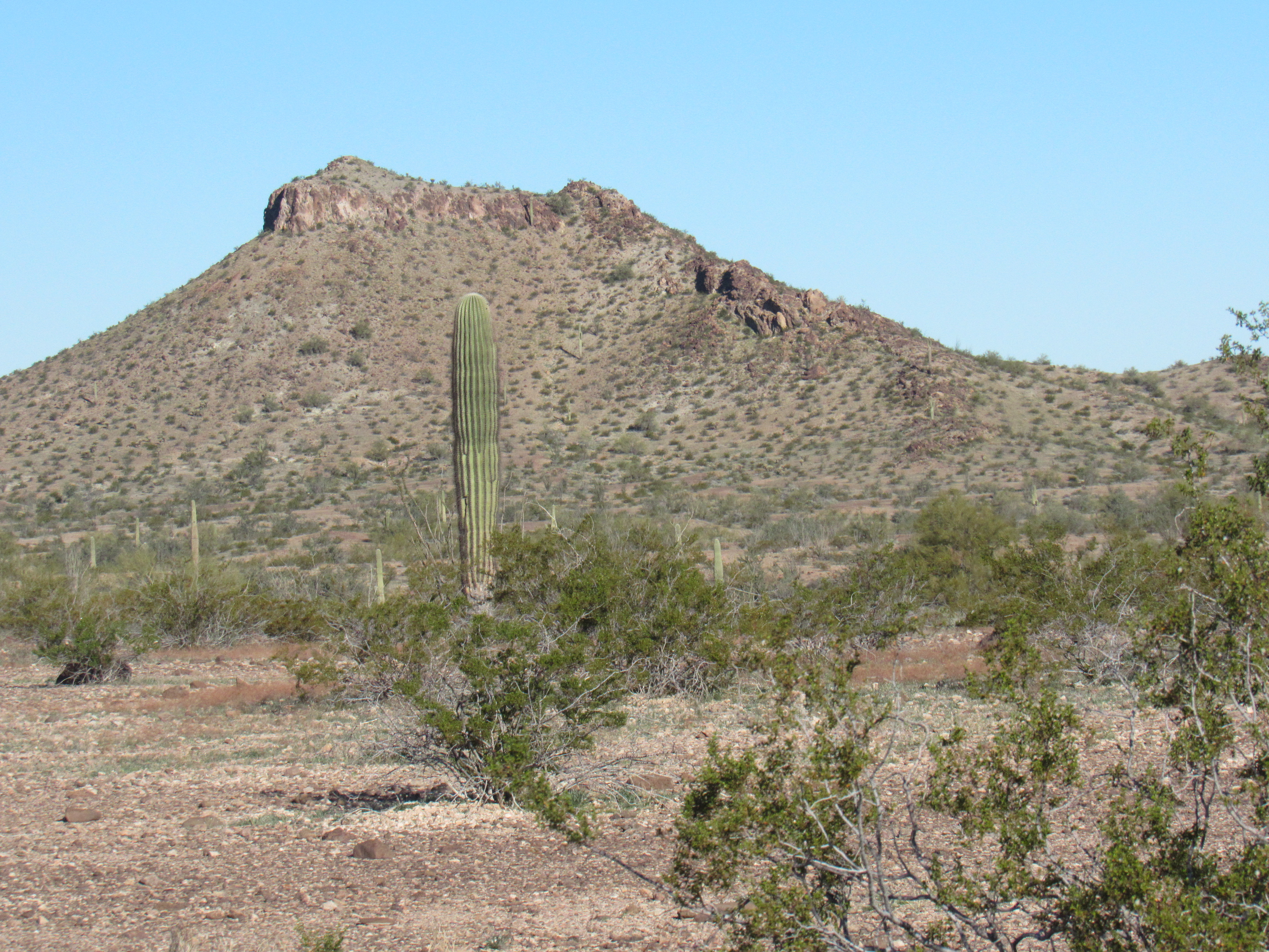
Point 1490 (interpolated)
The road forked, and this sign stood at the branch I would not take. I was tempted, though. Zoom in to read the fine print to see why I really wanted to take the path less traveled.
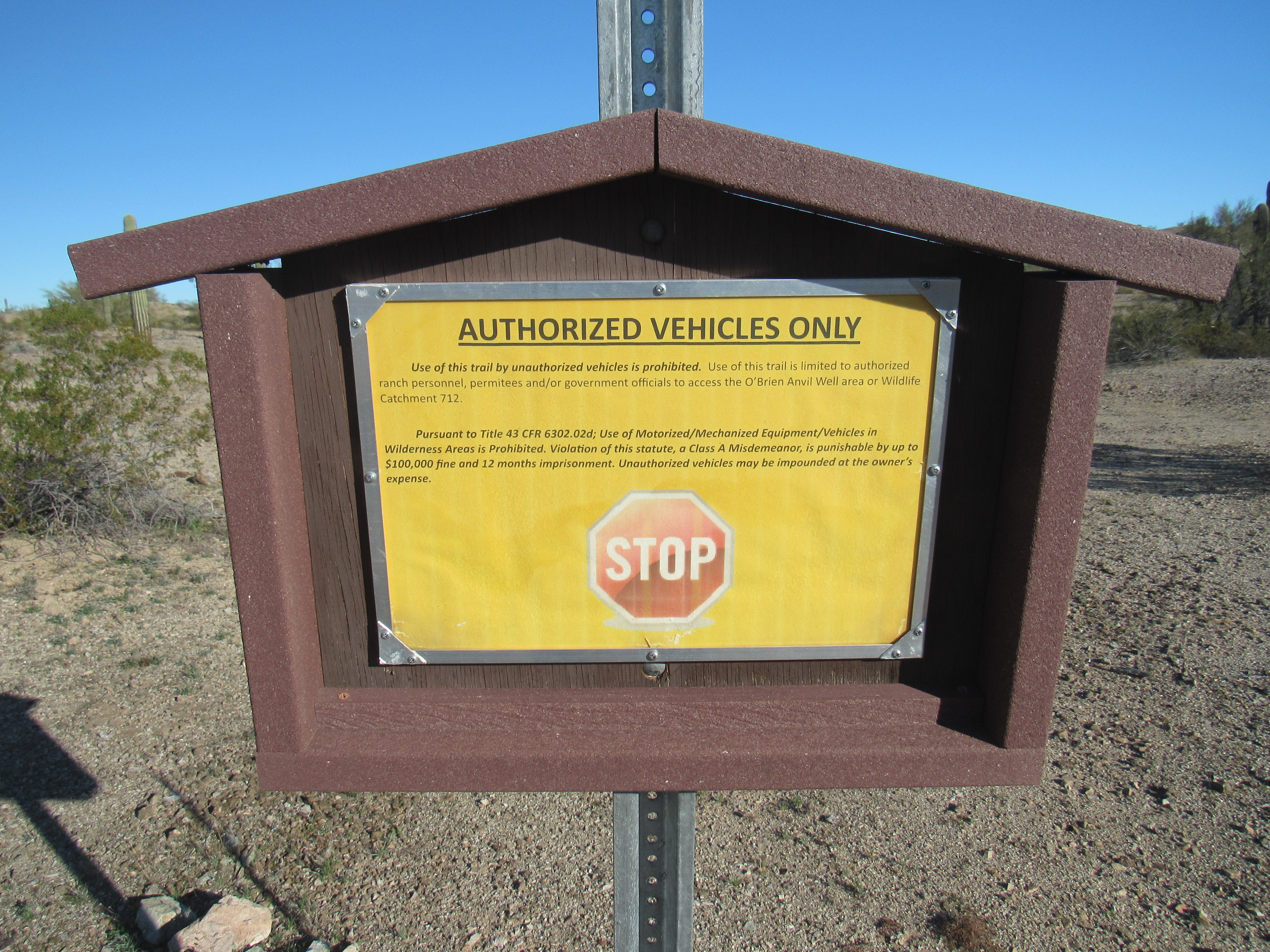
The sign
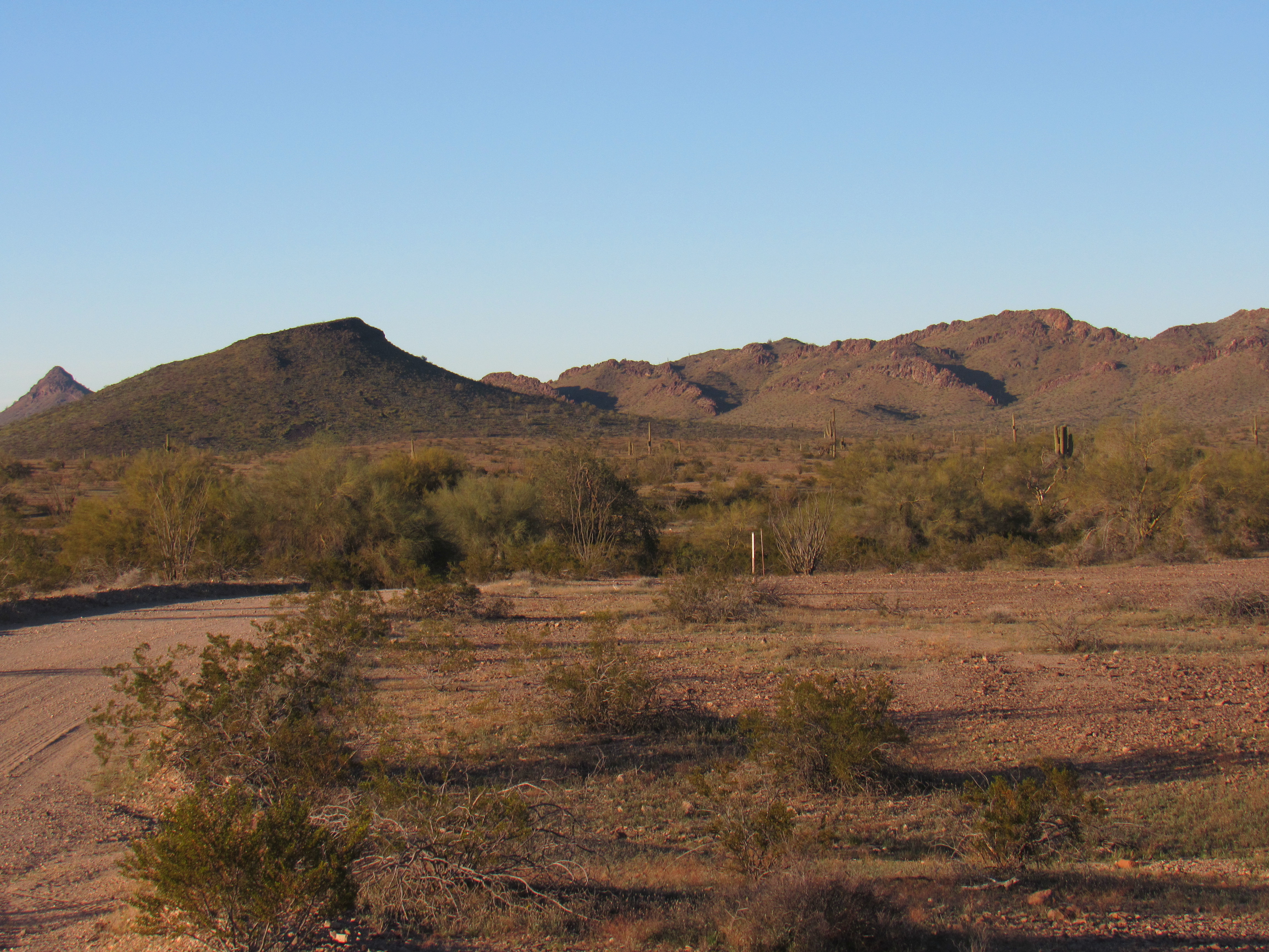
Almost a mile later, the road ended on a hillside overlooking Nottbusch Wash, seen in this next photo. You’re also seeing part of the water storage system that exists there.
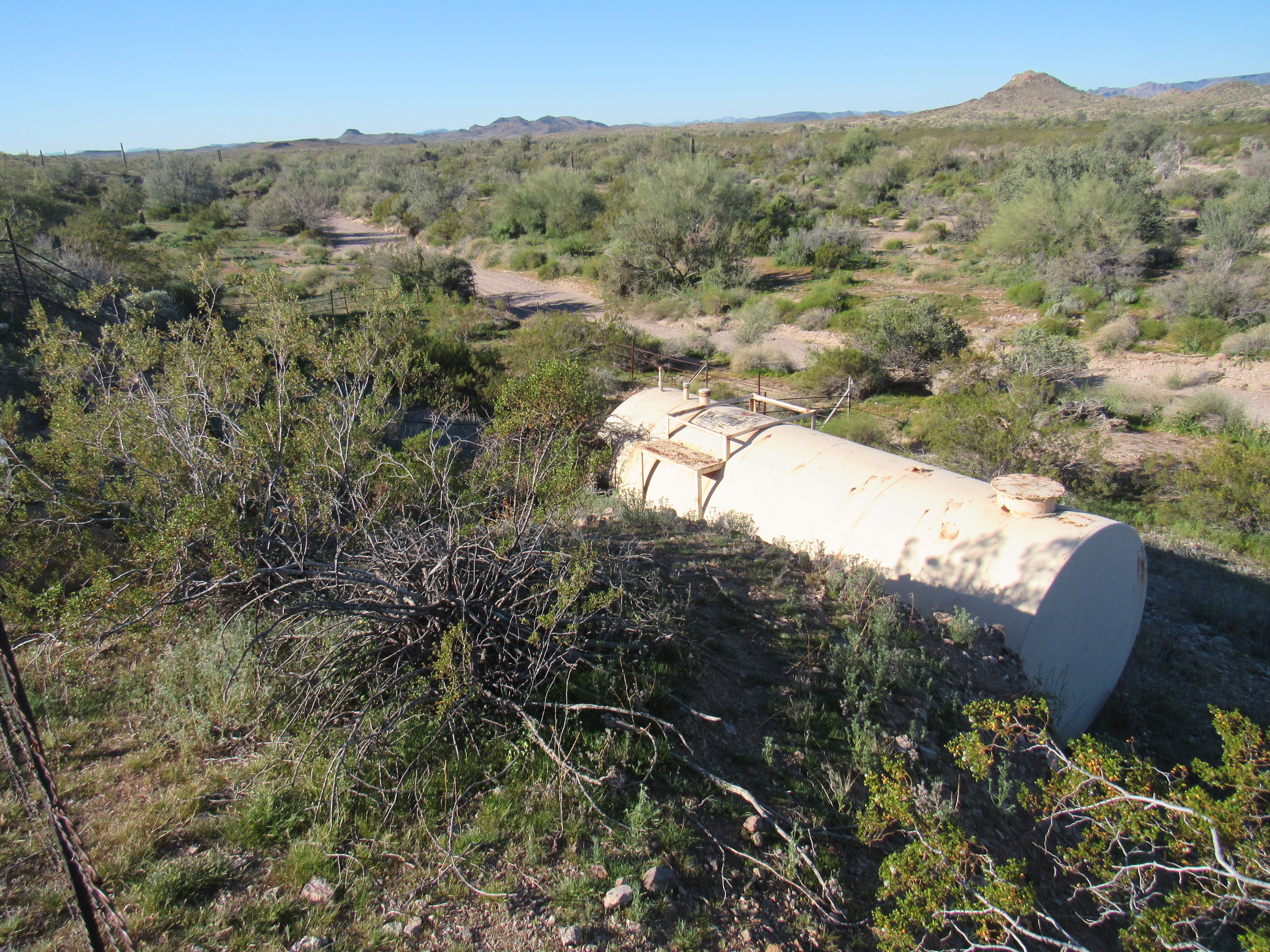
Overlooking Nottbusch Wash
This is one of the many catchments in the Arizona desert installed by the Game and Fish Department to provide water for animals to help them survive so hunters can shoot them – creatures such as deer, bighorn sheep, javelina and the like. This was a common type where rain falls on a large metal sheet and then runs into a storage tank. Here’s the metal sheet.
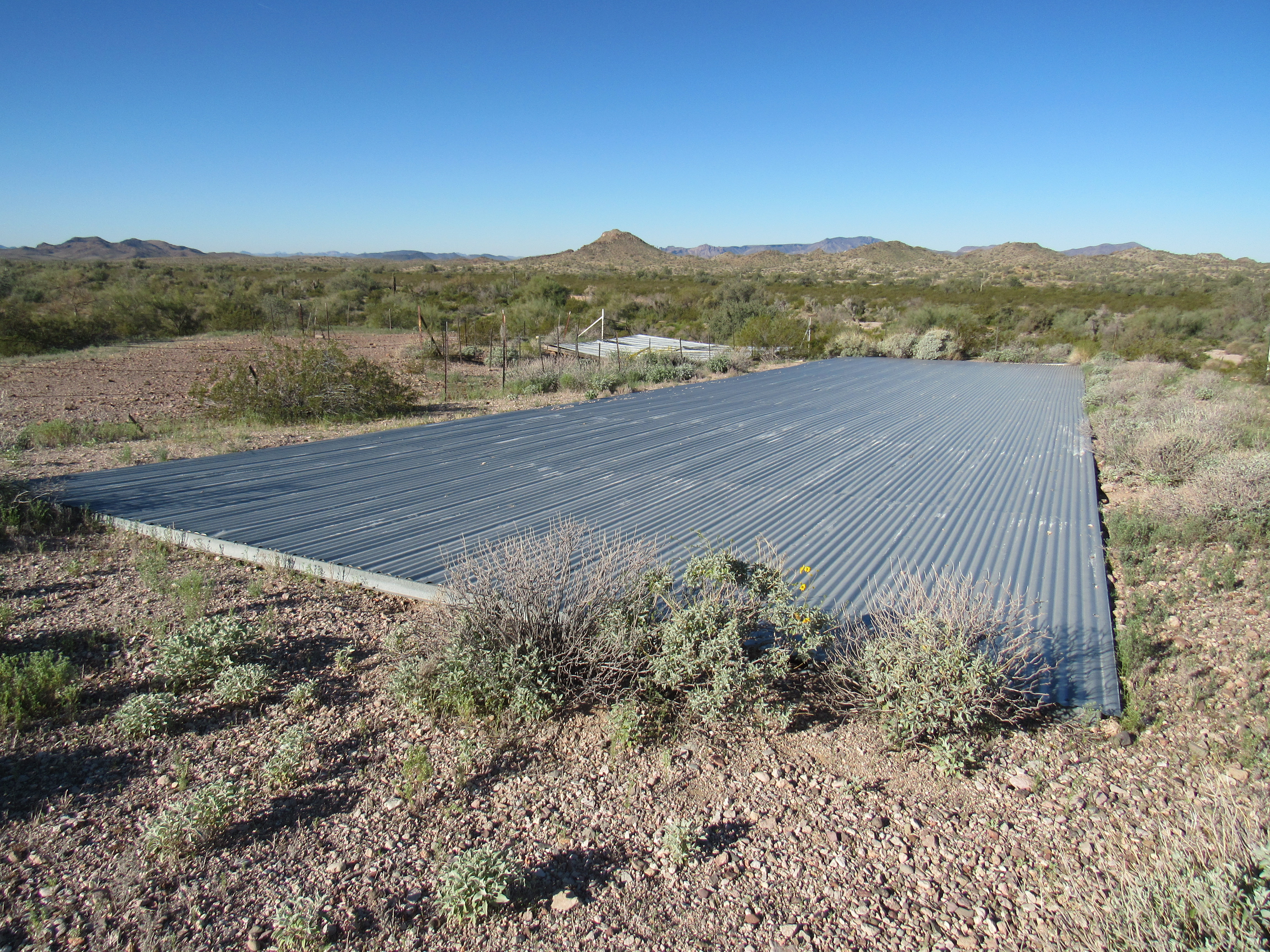
This collects the rain water
Here’s a view of the metal tank where the water is stored – it’s under that old rickety cover.
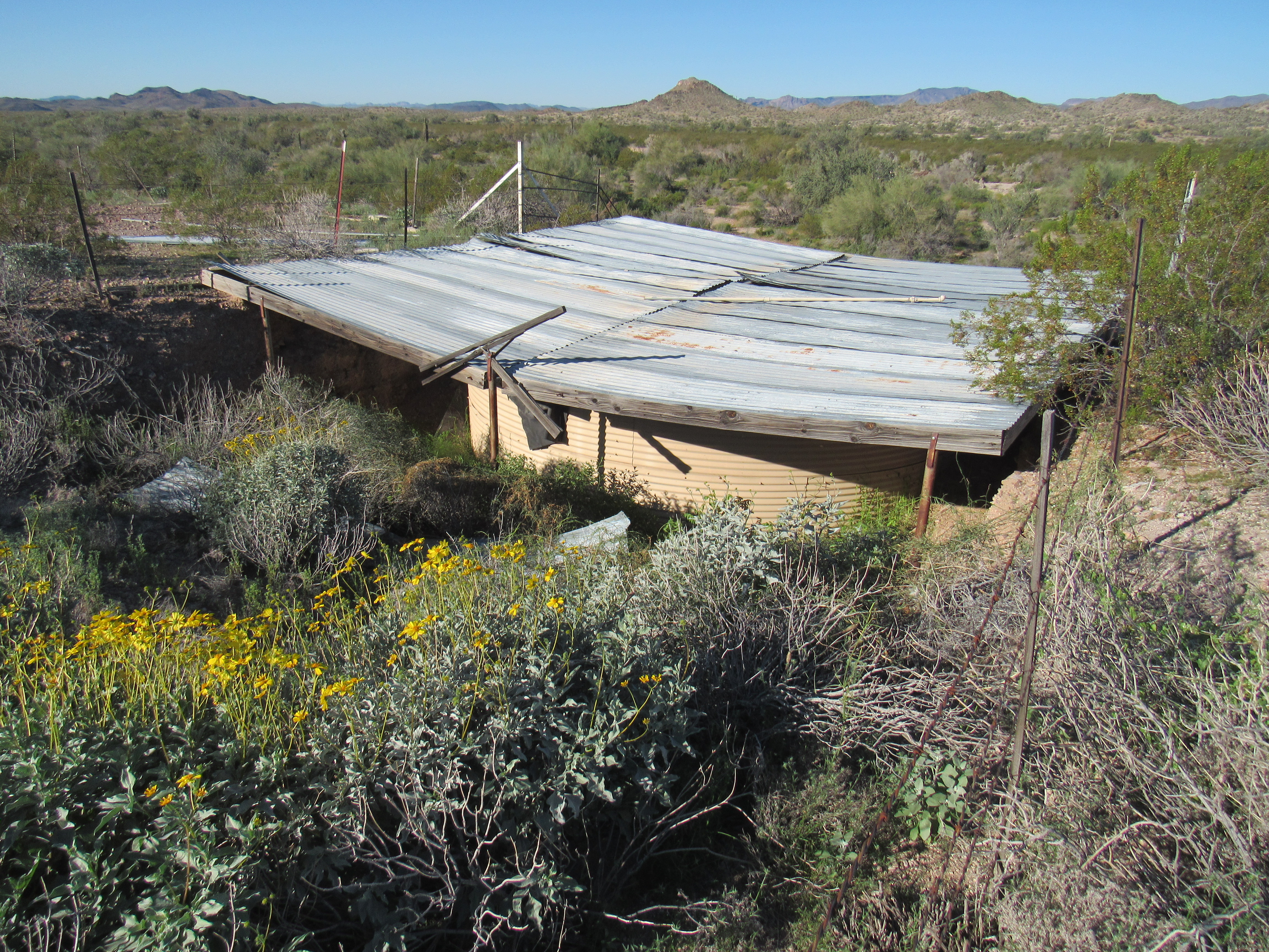
The tank, covered.
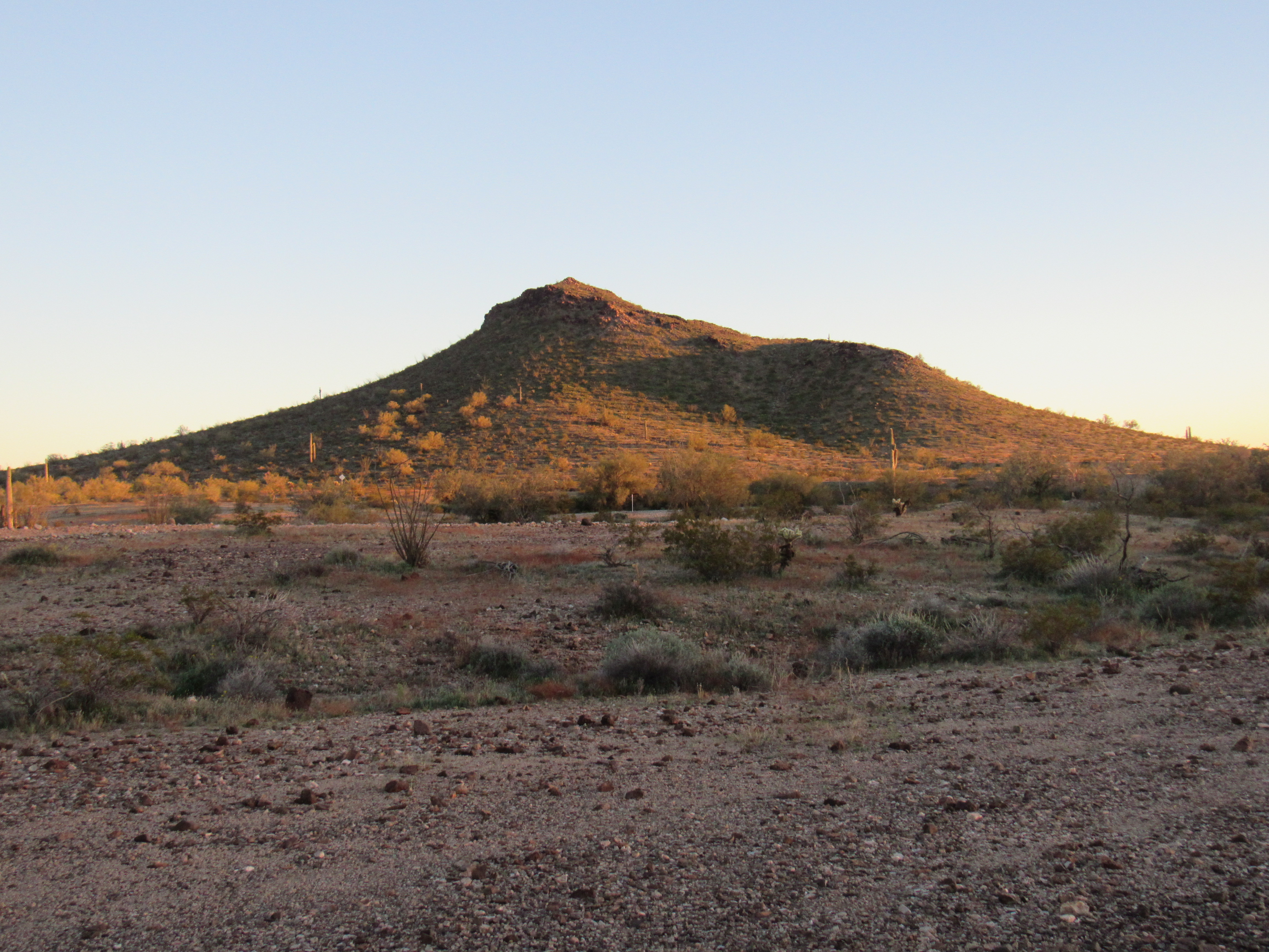
I parked near all of the above and made ready to leave. It was just after ten in the morning by then. This is the view I had of the peak from where I was parked.
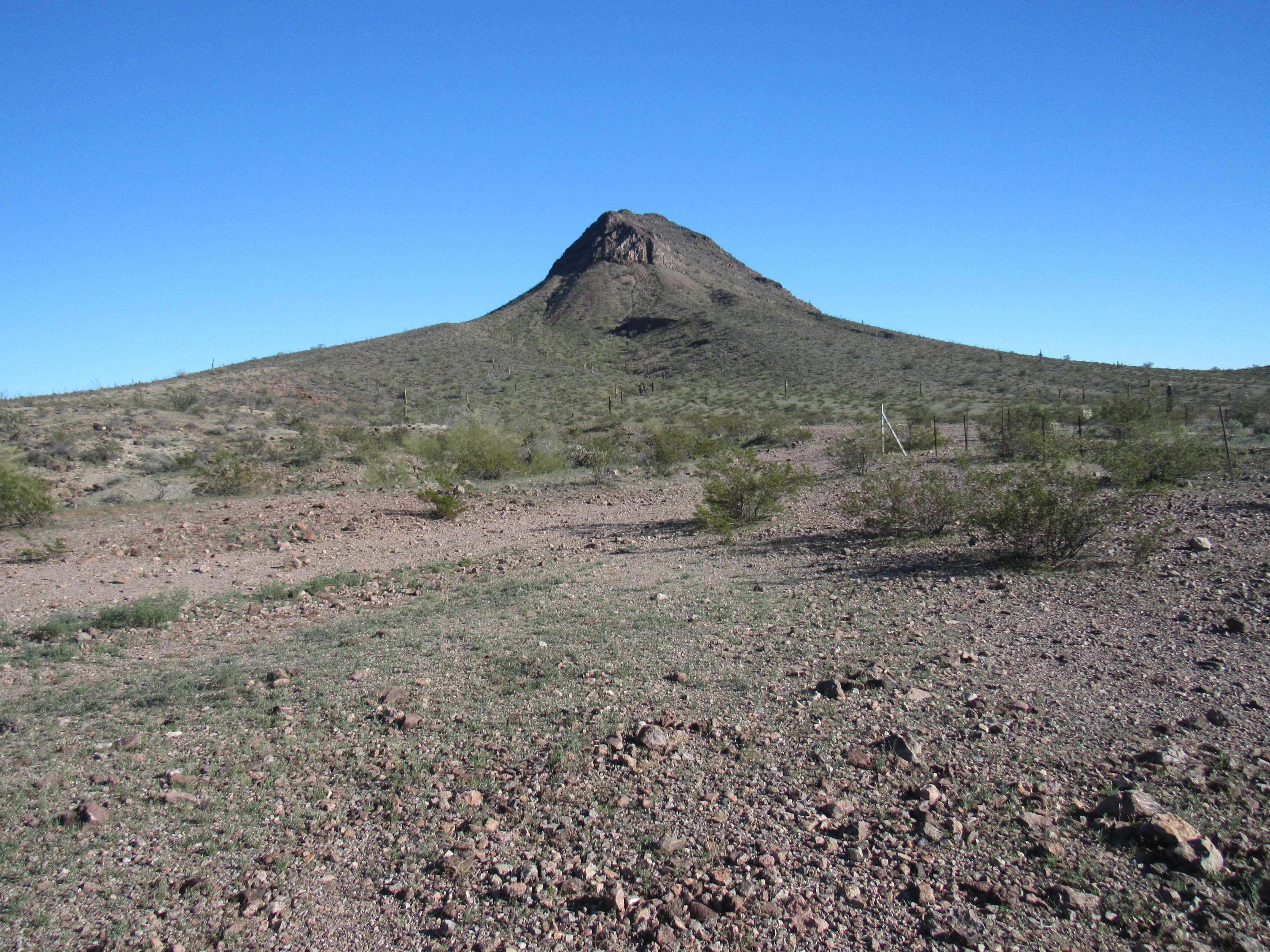
Nottbusch Butte, the northwest ridge.
The above photo shows the very cliffy northwest ridge which is aimed right at the camera. No way I was going to touch that, so I set out to reach the right-hand side of the peak as seen in the above view – that would be the southwest slope, which seemed a much better option. Here is a view of that side, the one I climbed, as seen later on. I went straight up the middle through a whole series of small cliff bands almost directly to the summit which is in fact the highest spot you can see in the photo.
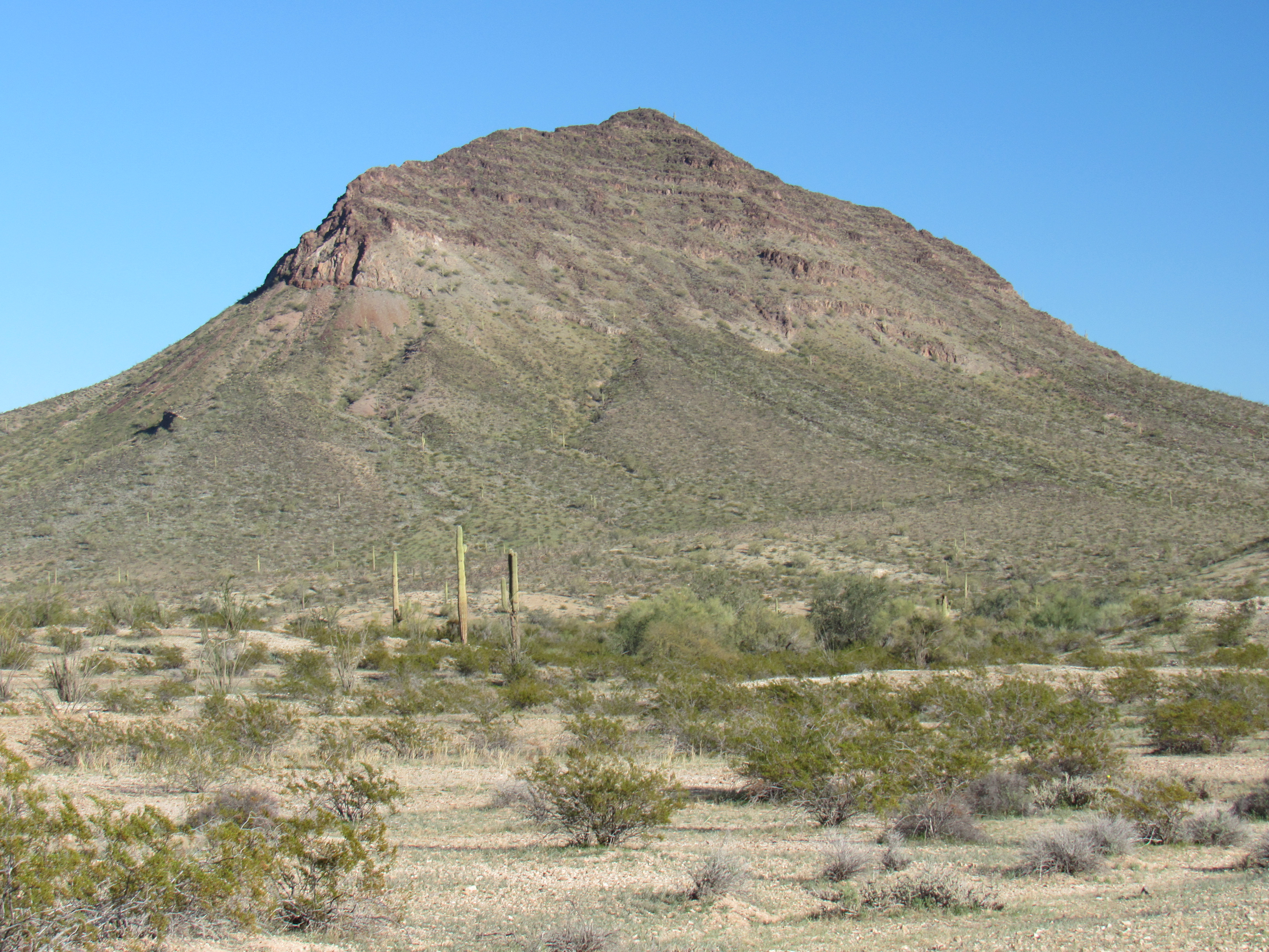
The southwest side
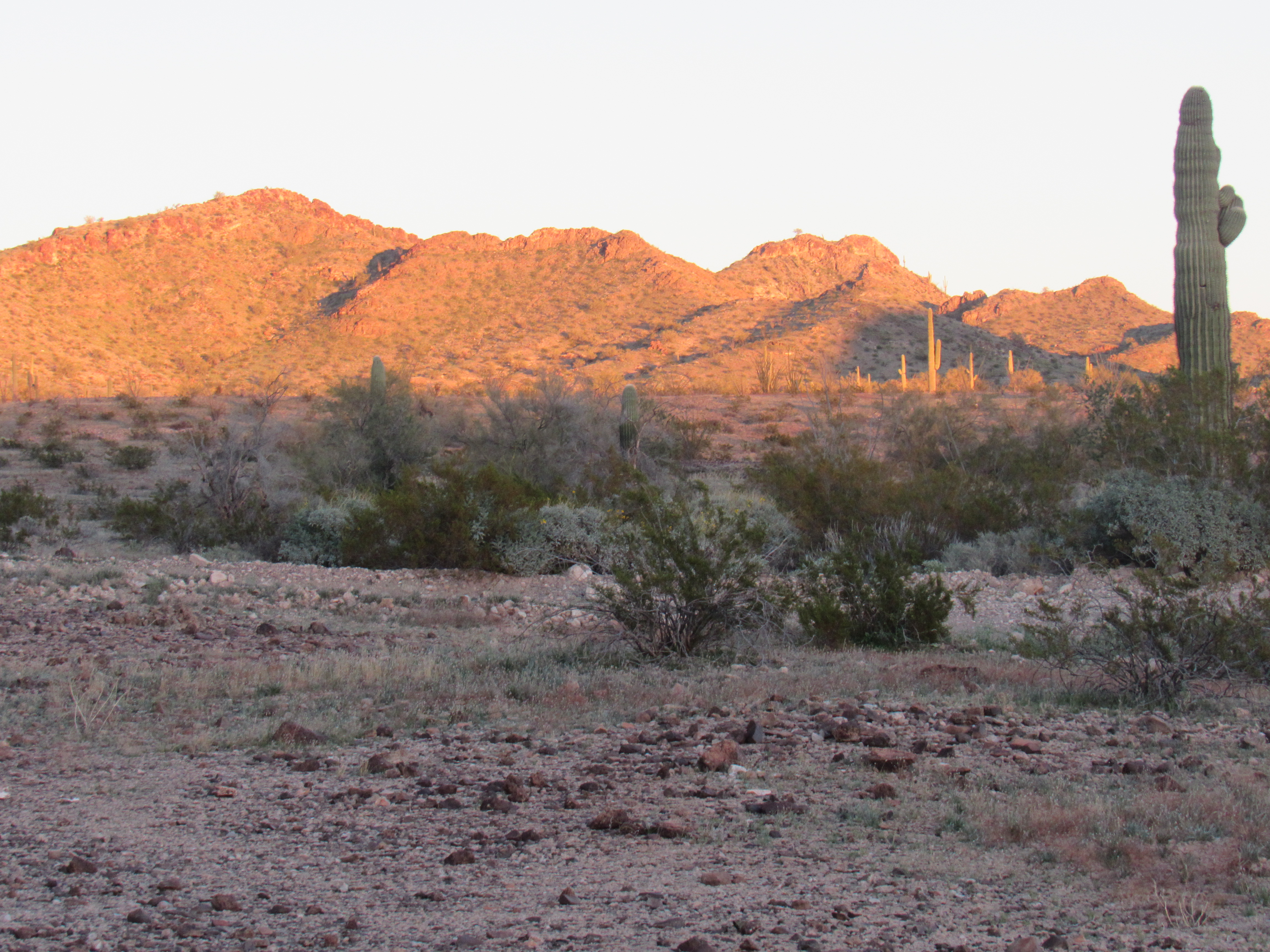
An impressive view that caught my eye as I started up the slope was this one – peaking up over the ridge was Anvil Mountain (on the right) and Peak 2747 (on the left), both about 7 miles away in this telephoto shot.
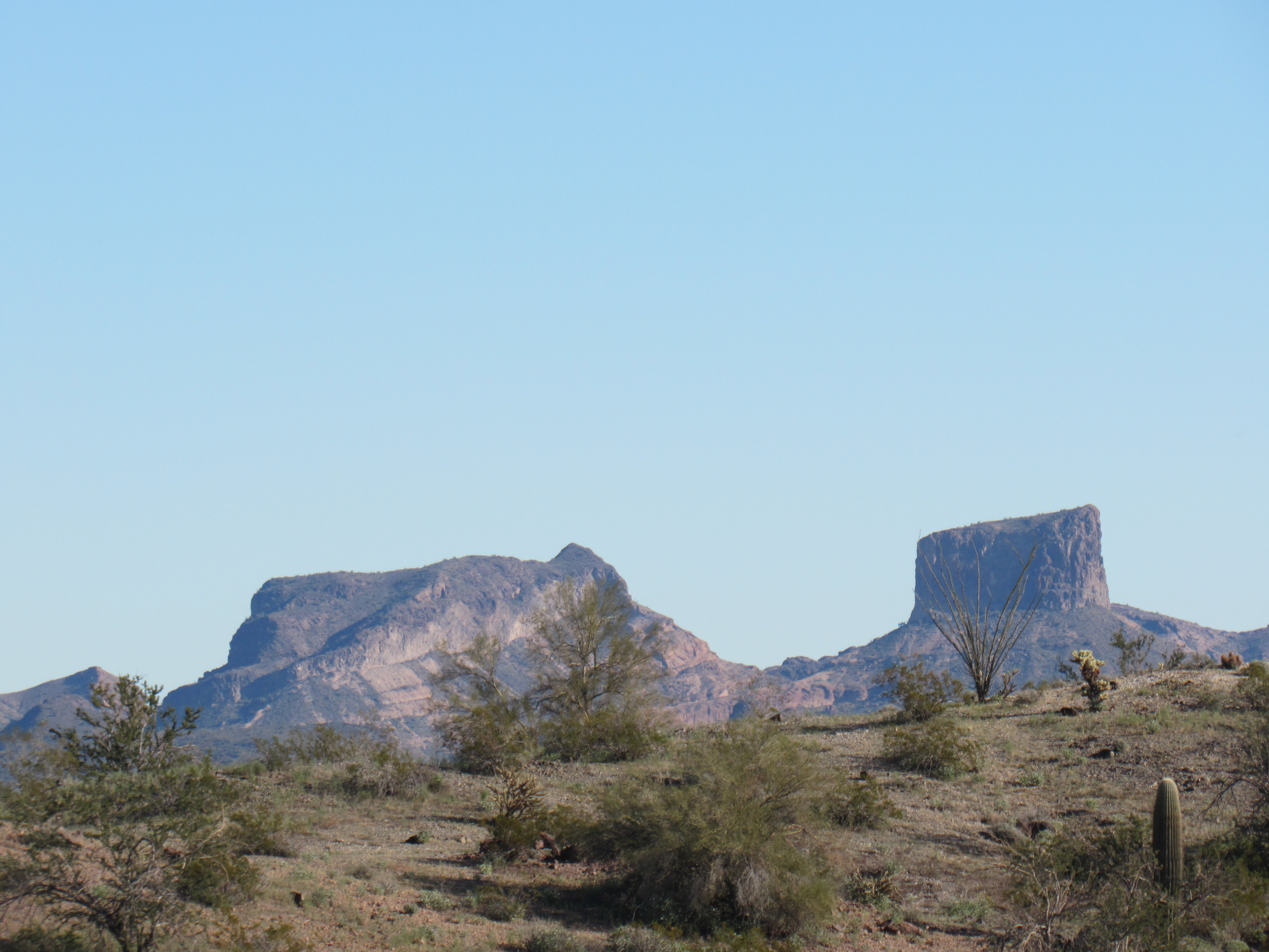
Anvil Mountain
It was good going the whole way, but it was hard to believe how slowly I went. There was nothing difficult along my route, a few bits of easy Class 3, but it seemed like I went at a snail’s pace. In fact, it took me 3 full hours to reach the top. There’s a large cairn on the summit, probably left by surveyors or prospectors.
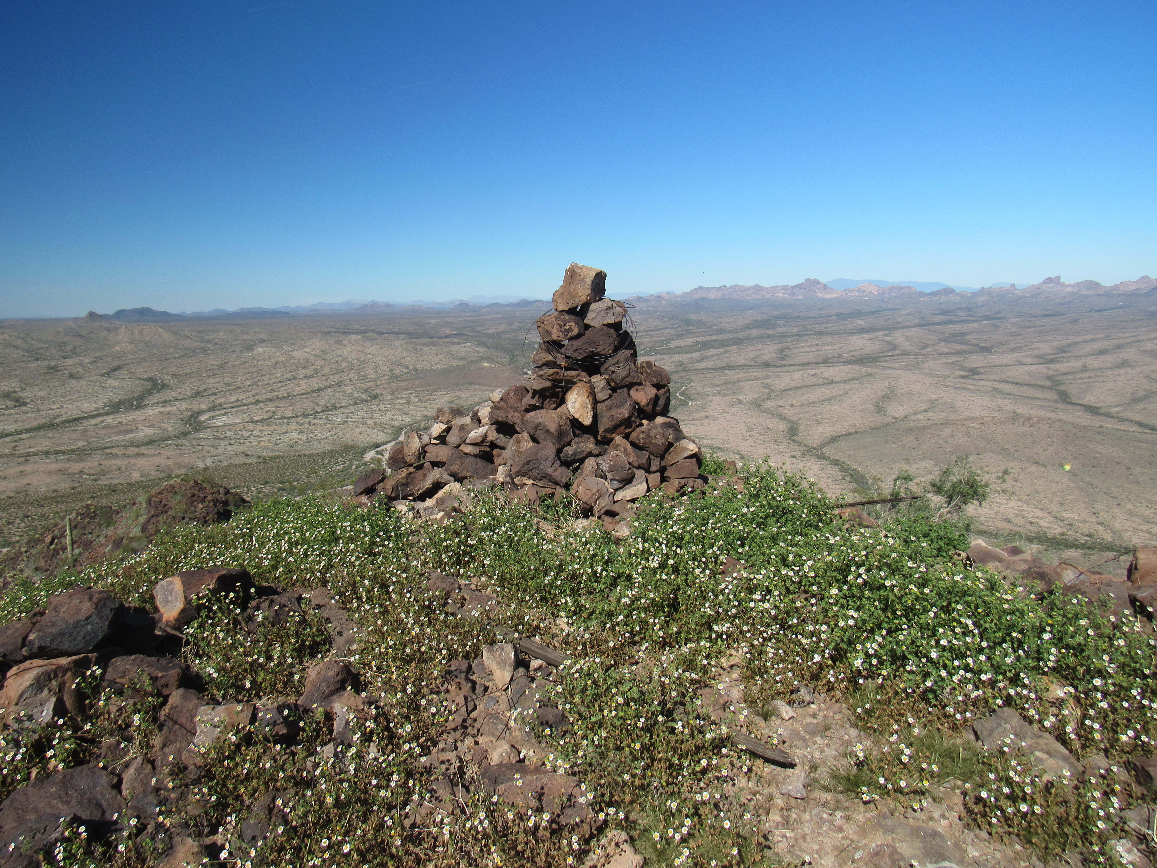
The summit cairn
I found both witness marker No. 1 as well as the benchmark itself. Notice that although the peak is named Nottbusch Butte, spelled with an N, the actual bench mark is called Mottbusch with an M.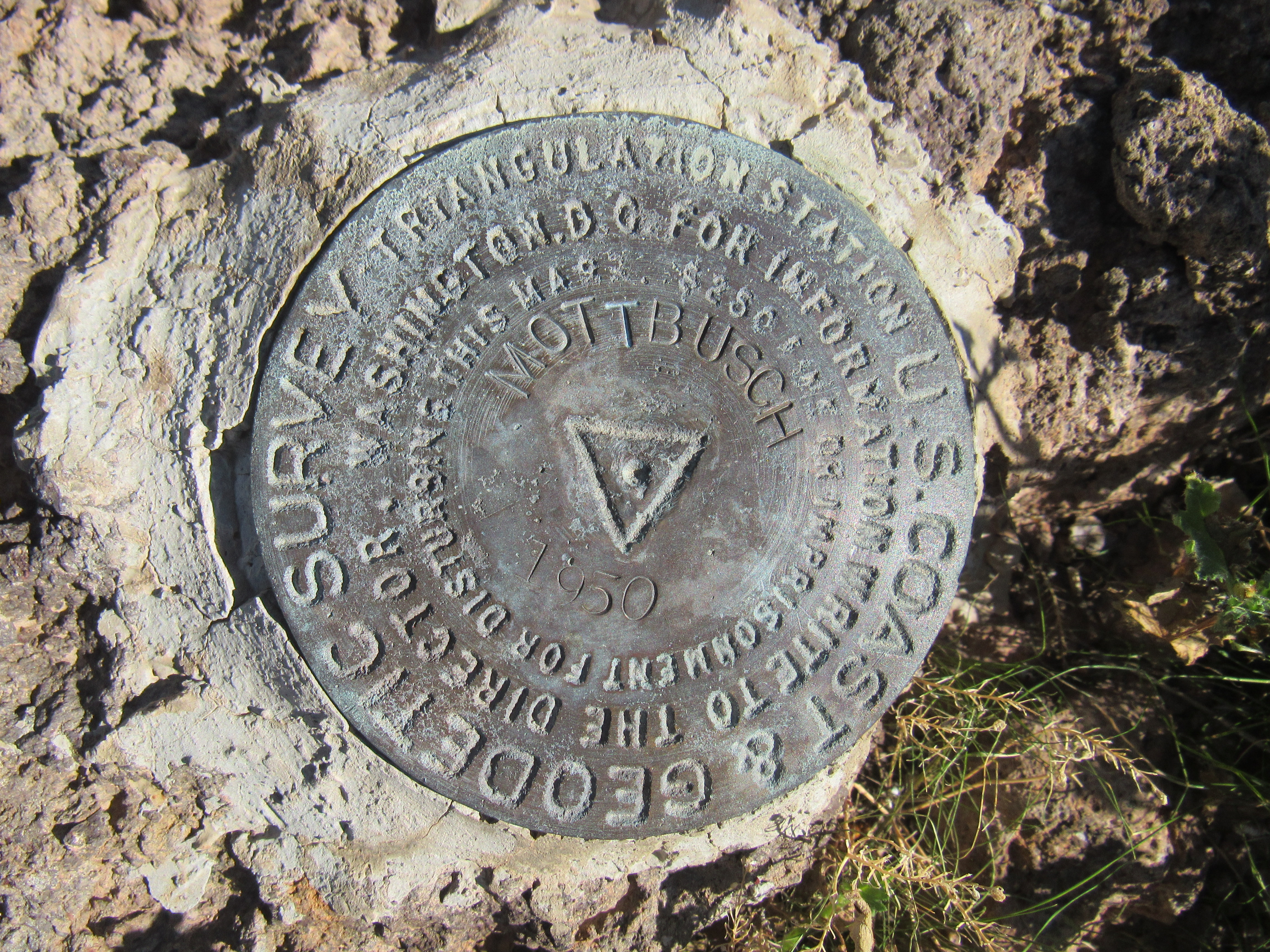
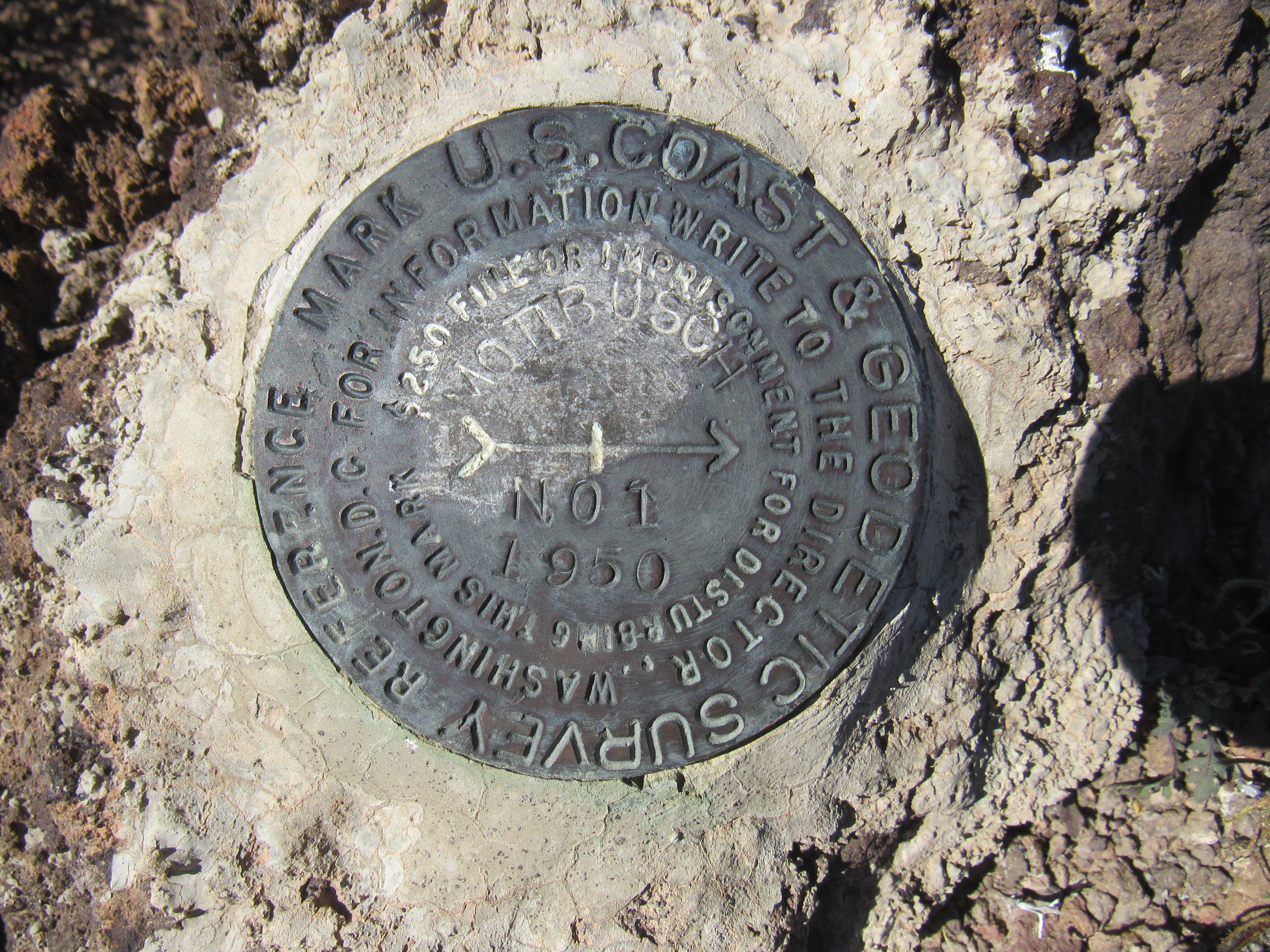
You can also see that these markers were placed back in 1950. Notice how the surveyors cemented them into place. They had to carry both water and cement powder to do that. Usually they are put into bedrock, but can also be set into large boulders which are unlikely to ever be moved. They are meant to be forever, but I have been to a few peaks where they have been stolen by miscreants.
Peakbagging websites show that at least 10 others had been here before me since 1987, but undoubtedly there were unnamed others who hadn’t signed in. The register was in bad shape – it had been placed by Barbara Lilley back in 1999. It was in a plastic jar, but that wouldn’t have been her doing. She would only leave a glass jar, so I suspect that for some reason someone who came after her replaced her jar with plastic. I was sorry that I hadn’t brought a spare with me to set things aright.
If you click on the above link for Nottbusch, you can see that the contours are pretty close together – this indicates a fairly steep peak all around. Before we head down, I want to show you a few other views. In this next one, we are looking down the northwest ridge back towards the water catchment. If you zoom in, it is visible to the left of the dark ridge and down by, and this side of, the light-colored Nottbusch Wash which winds across the picture. That’s where I’m parked.
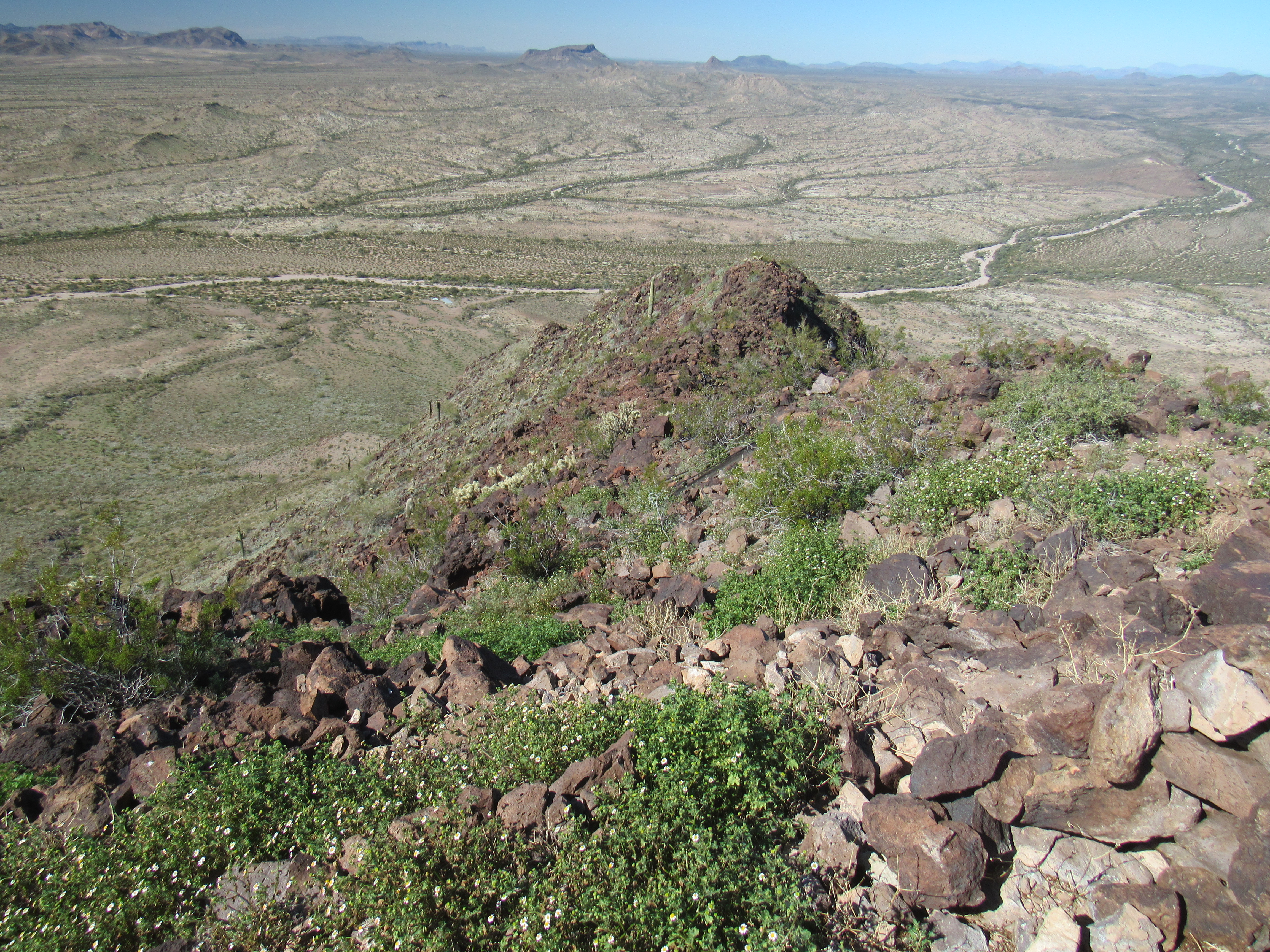
Looking down the northwest ridge.
And then there’s this one, which I really like. I’ve added 2 red marks to this photo so that I can point out some things for you. See the mark in the upper left corner? If you look really carefully at it, the bottom of the mark is sitting on top of a small dark bump. That is Peak 1902, the one I climbed 2 days ago. Everything between it and where I’m standing on Nottbusch Butte is all part of Cemetery Ridge. See the dark mountain low down on the center right part of the photo? That’s Point 1630. Just above it, there’s another red mark – that’s Apache Box, down low on the desert floor.
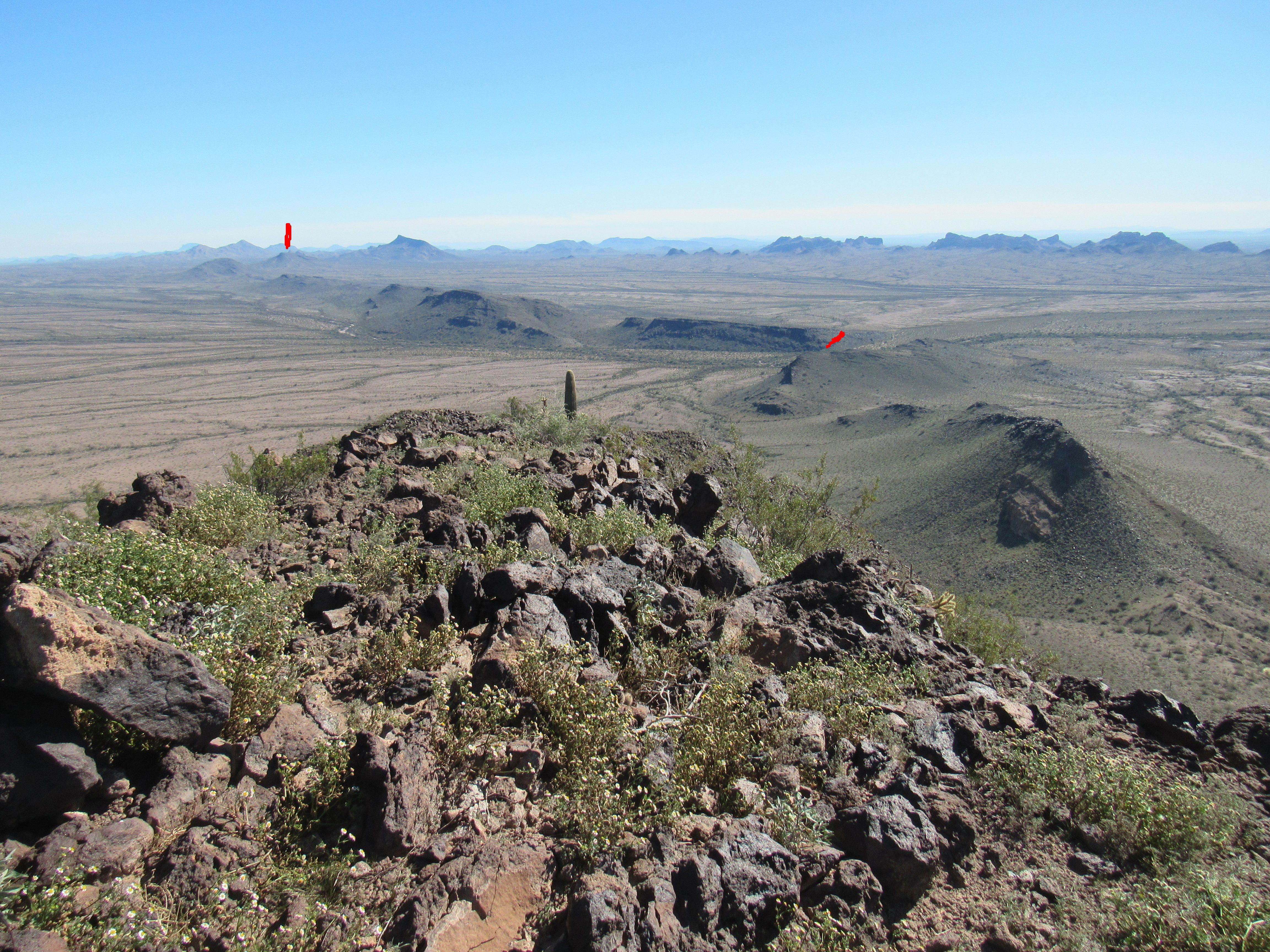
Looking back to Apache Box
In the time I spent on the top, I was thinking about how I’d go back down to my truck. The way I’d come up was certainly the shortest, the most direct, but there were some spots I didn’t relish descending. When I was ready to leave, I headed in the other direction down the southeast ridge to take a look. Did things look any easier that way? Hmmm, it looked like I could see a clear path all the way down to the desert floor on the northeast slope of the mountain, and it looked like it was pretty free of cliffs. It was a longer route distance-wise than my ascent, but it seemed a fair trade-off for a safer route. I think more about things like that when I’m alone nowadays. That’s it, I’d head down this new way. It turned out to be 50% farther.
By the time I’d reached my truck, a total of 5 hours 29 minutes had passed. Here’s how it was broken down: ascent – 2 hours 55 minutes; time spent on top – 26 minutes; descent – 2 hours 6 minutes. I was glad to be done, my dogs were barkin’. Other than changing out of my boots and sweat-soaked clothes, I didn’t waste any time before I drove away. It was a quick run back to where I joined the Palomas-Harquahalla Road, then started the drive north. Although the day was wearing on, I needed to make many stops as I drove, to document the many mini-peaks along Cemetery Ridge.
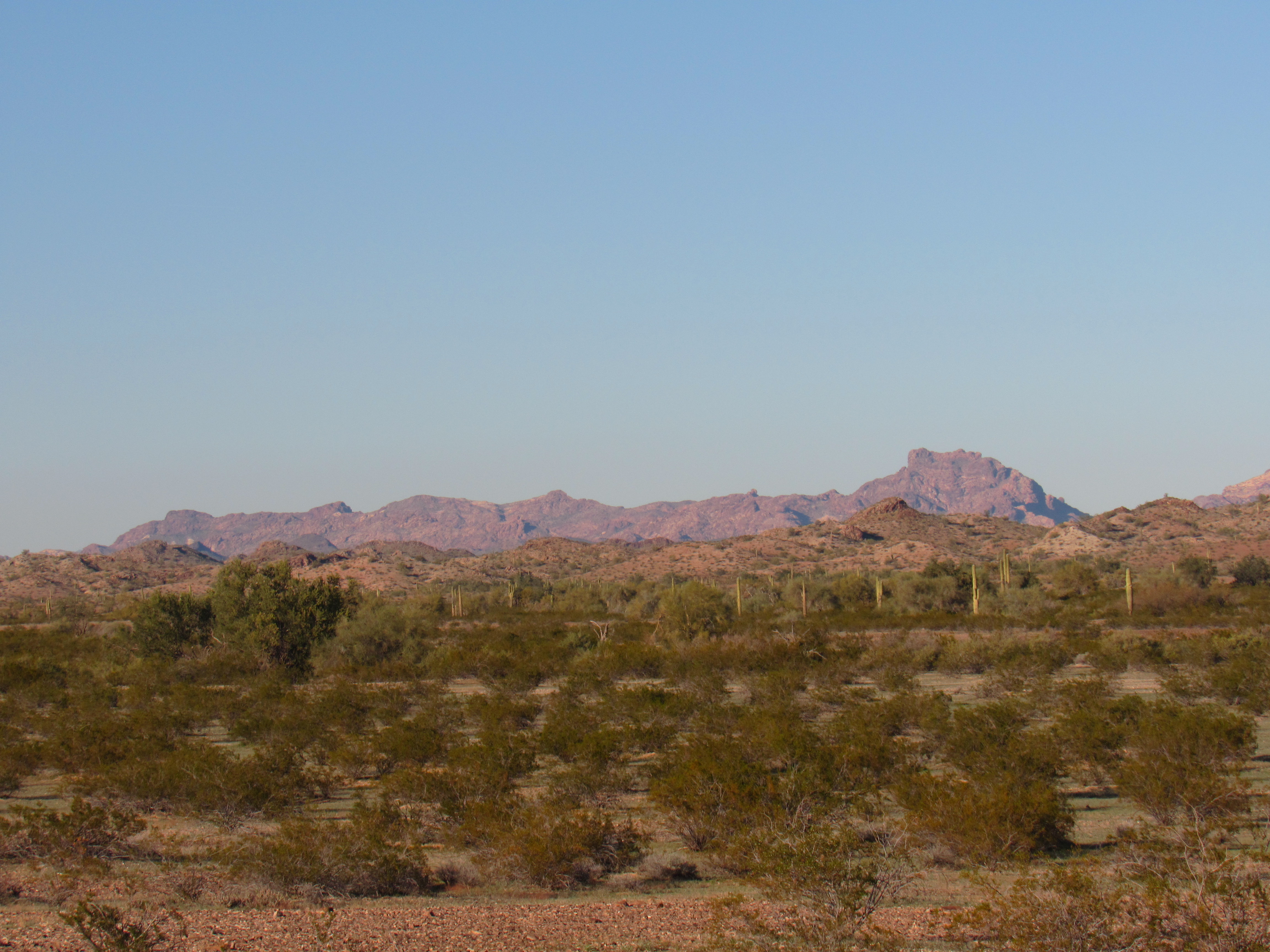
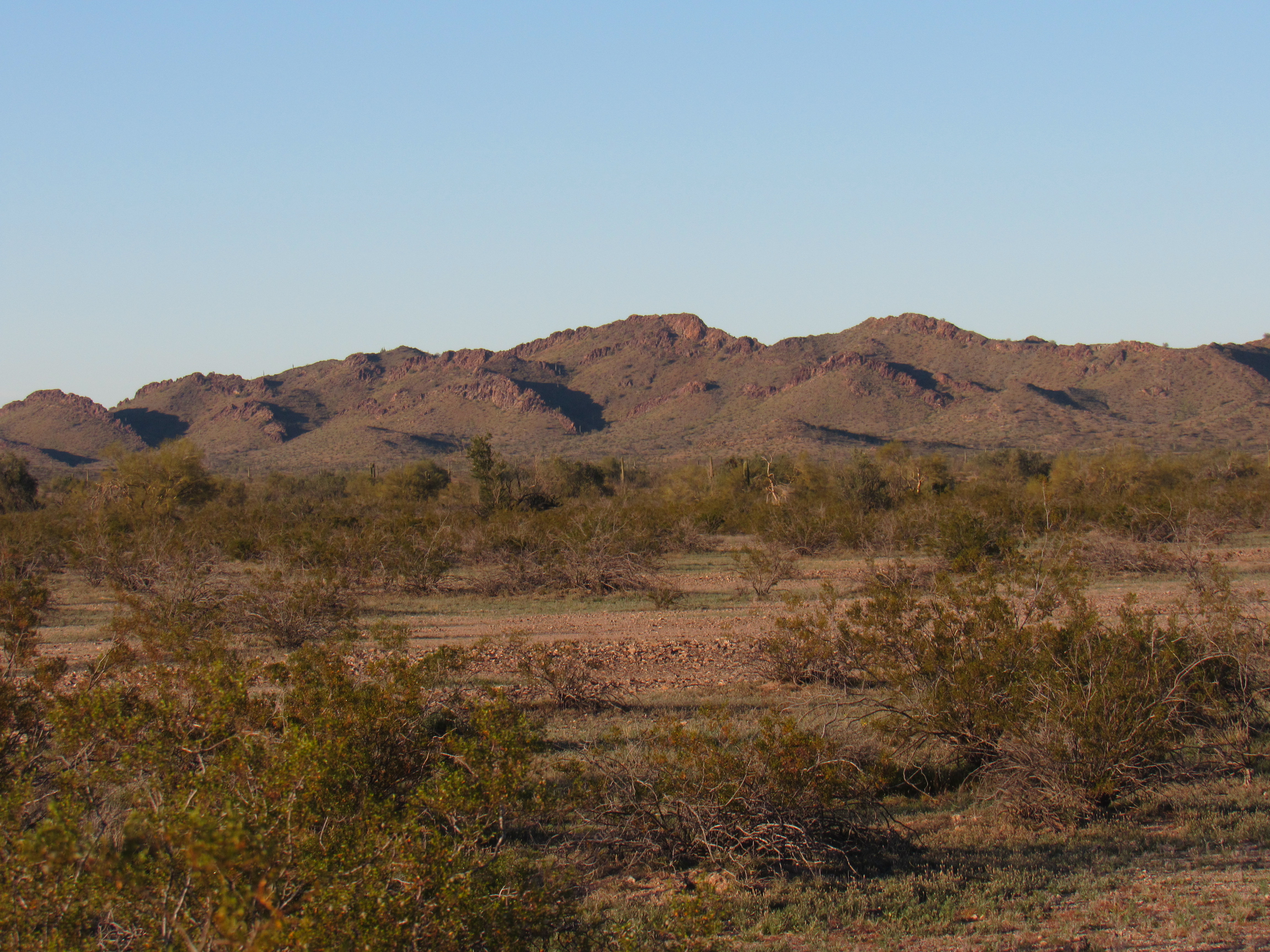
Once you leave Nottbusch Butte and continue northwest along Cemetery Ridge, the terrain changes. You find yourself in a wide area of small bumps, not very high, in the 50′ to high-200′ range. I counted no less than 65 of these. They are spread out in a belt up to 2 1/2 miles wide. With terrain like that, the whole area would be more appropriately called the Cemetery Hills, in my opinion. A few rough roads penetrate the area, but since they are in the Eagletail Mountains Wilderness Area, the public is not allowed to drive them. They exist only because of the half-dozen old mining prospects they once served. As I drove north on the excellent dirt road, all of the Ridge was off to my right. I took a series of photos which all overlap slightly on their left side – in other words, each successive photo moves us slightly to the left. I won’t try to identify any of the bumps. Here’s the first one, just north of Nottbusch.
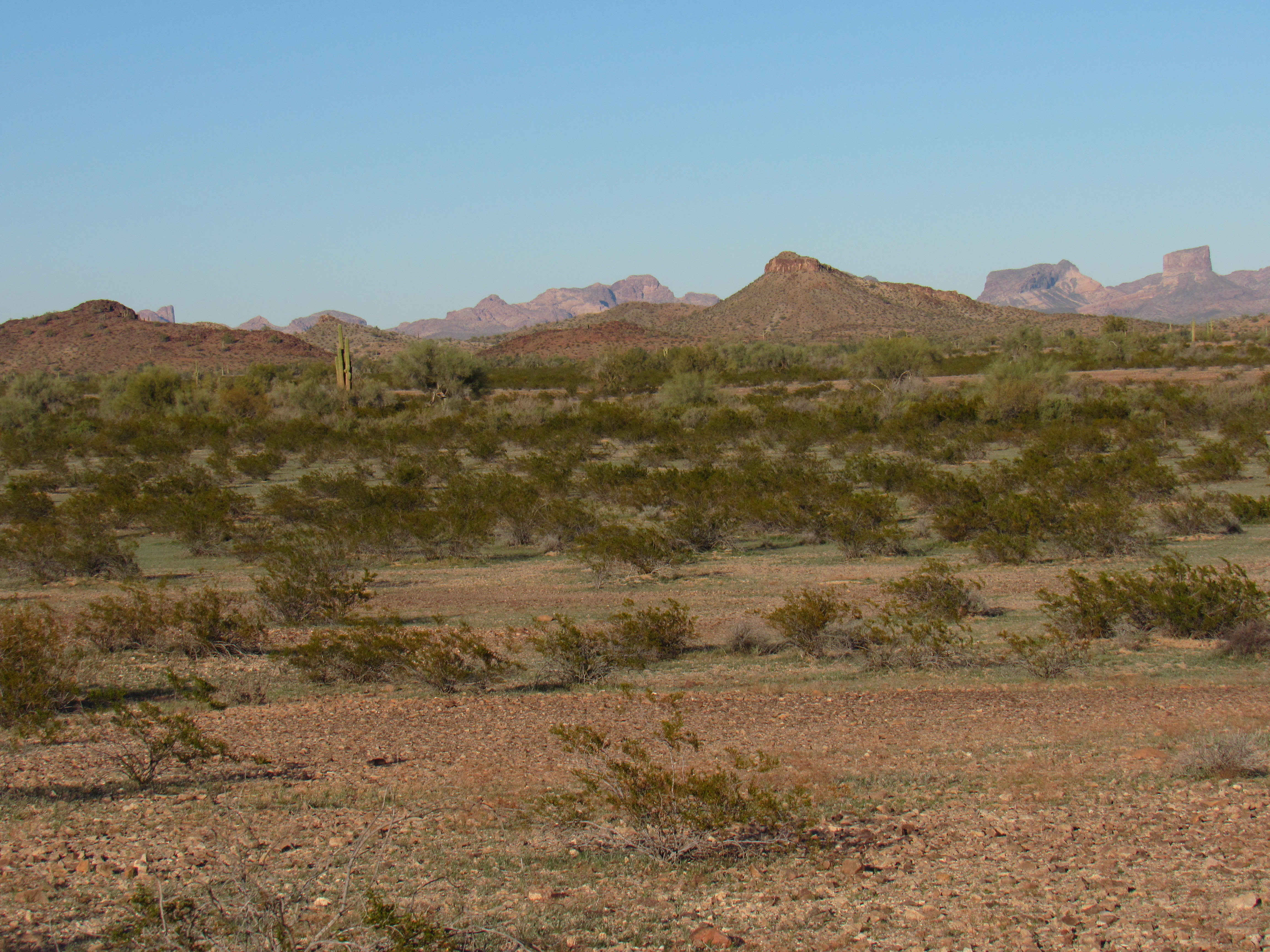
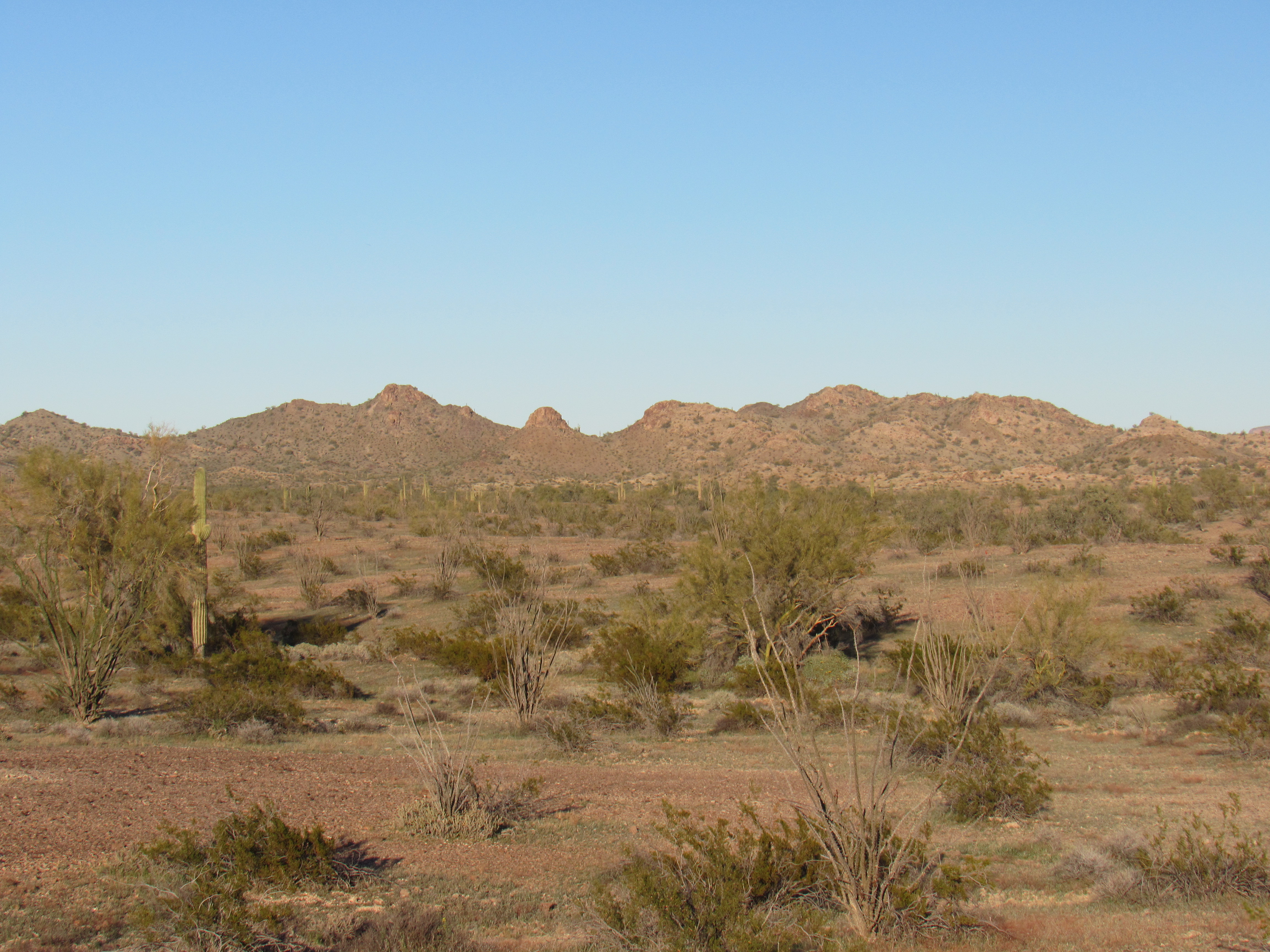
The exposures vary from one picture to the next, and some of them are more of a telephoto than others. Whenever you see distant mountains in the background, those are all part of the Eagletails, while anything closer is part of Cemetery Ridge. Each successive photo moves us slightly farther northwest.
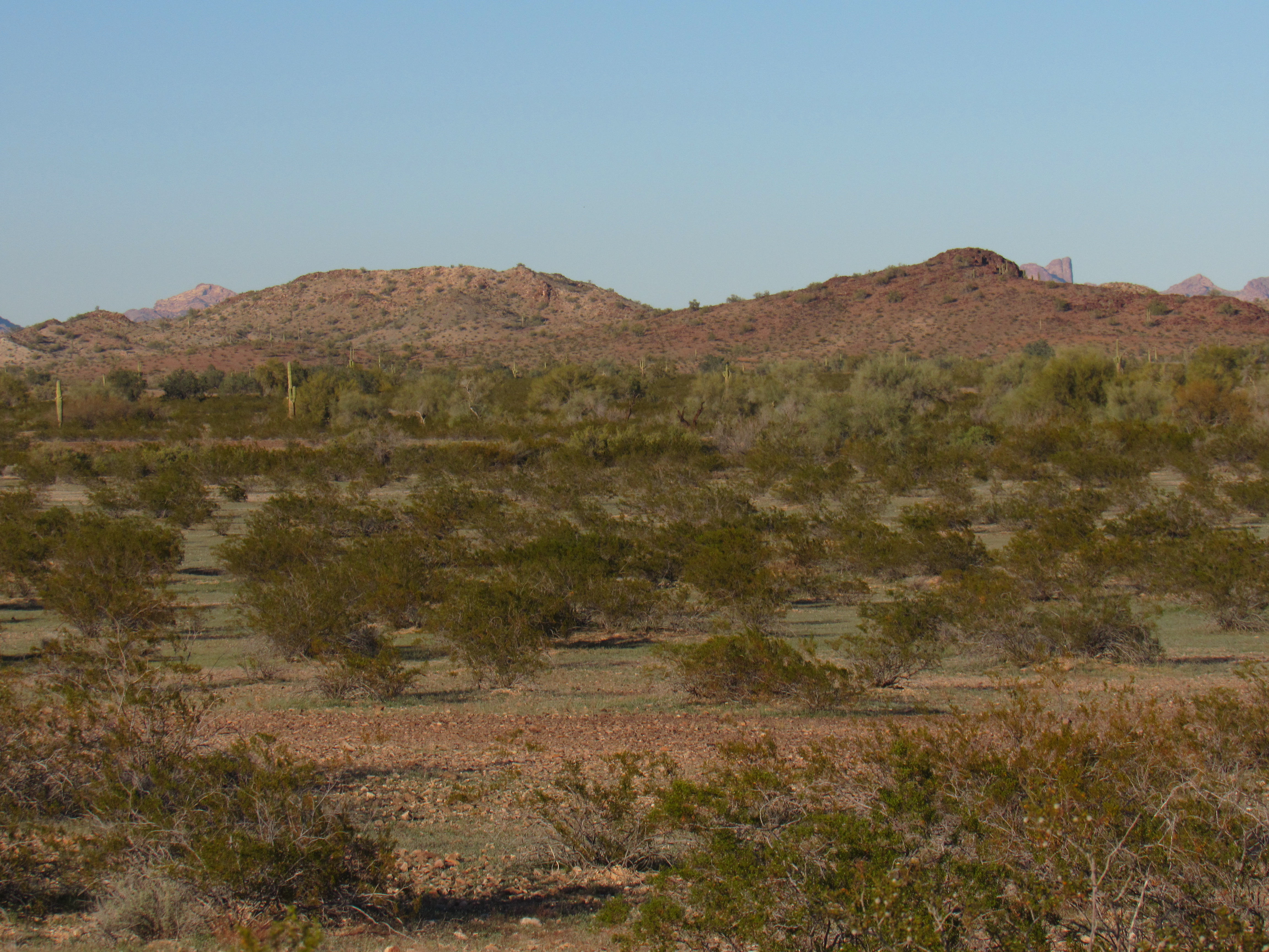
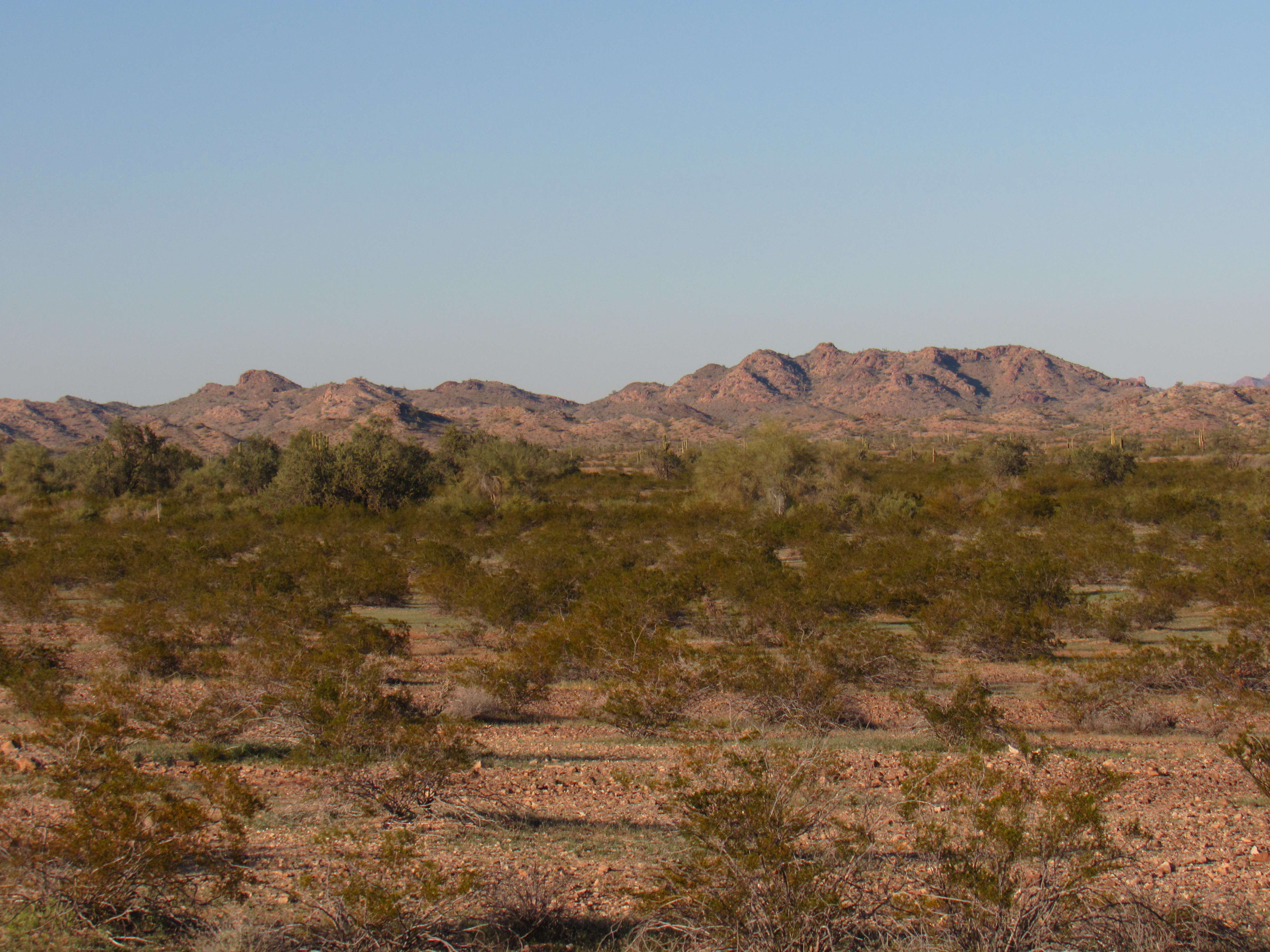
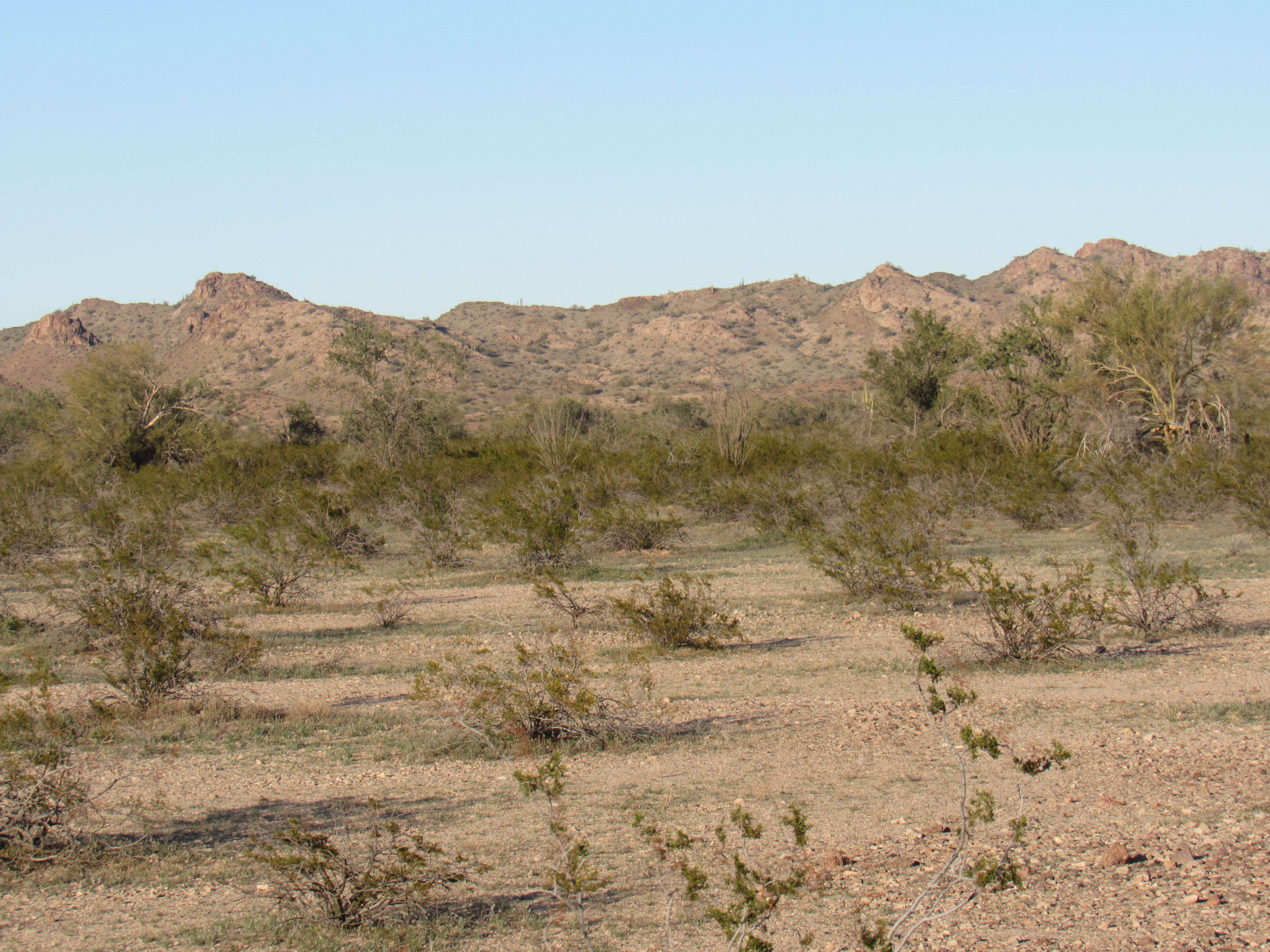
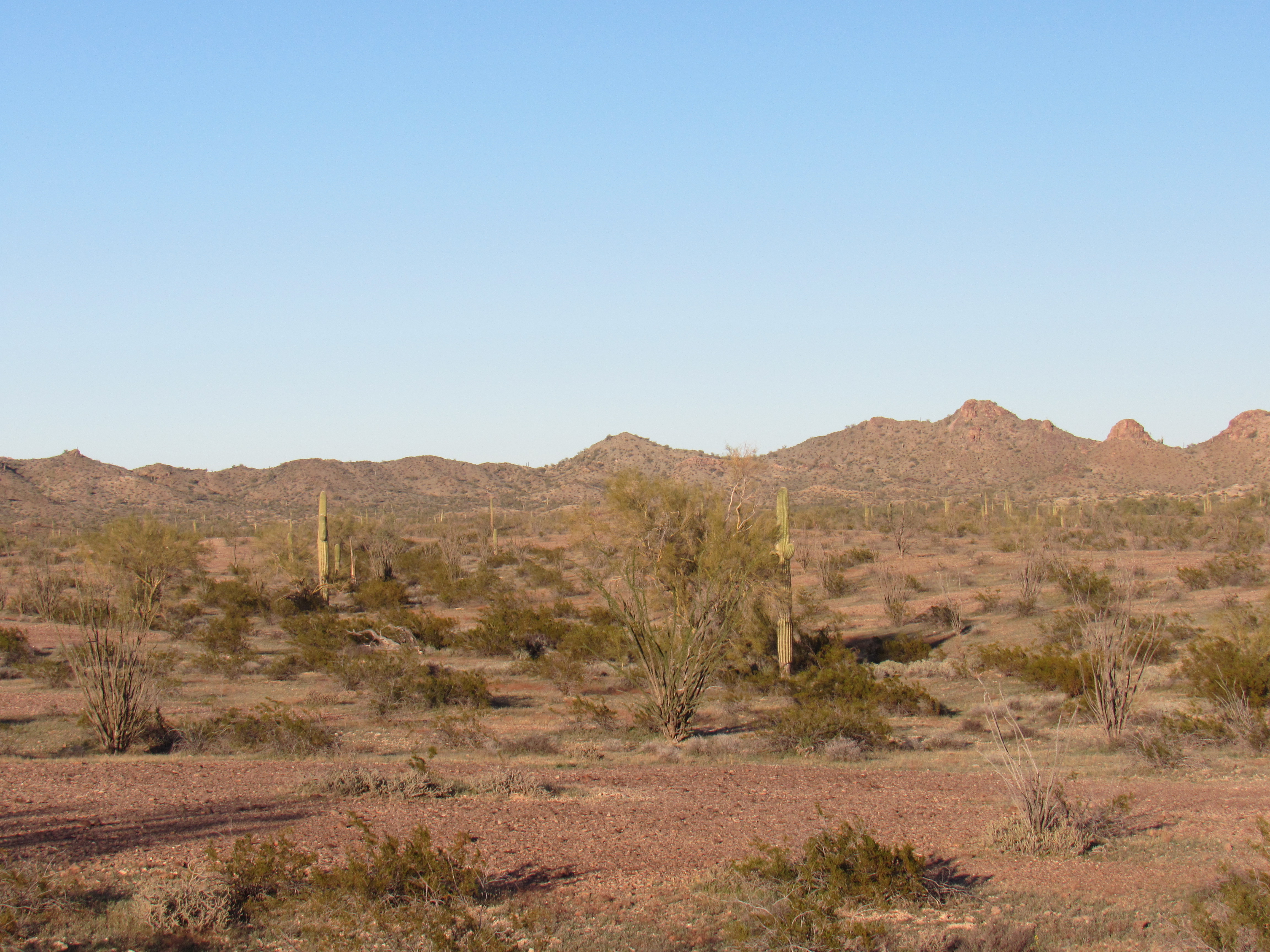
After I would take a set of photos from one spot, I would then drive farther north, park, and take another series of shots. Here’s the next set.
This next set was taken from even farther along the road. Remember, all of this is part of Cemetery Ridge as shown on the map.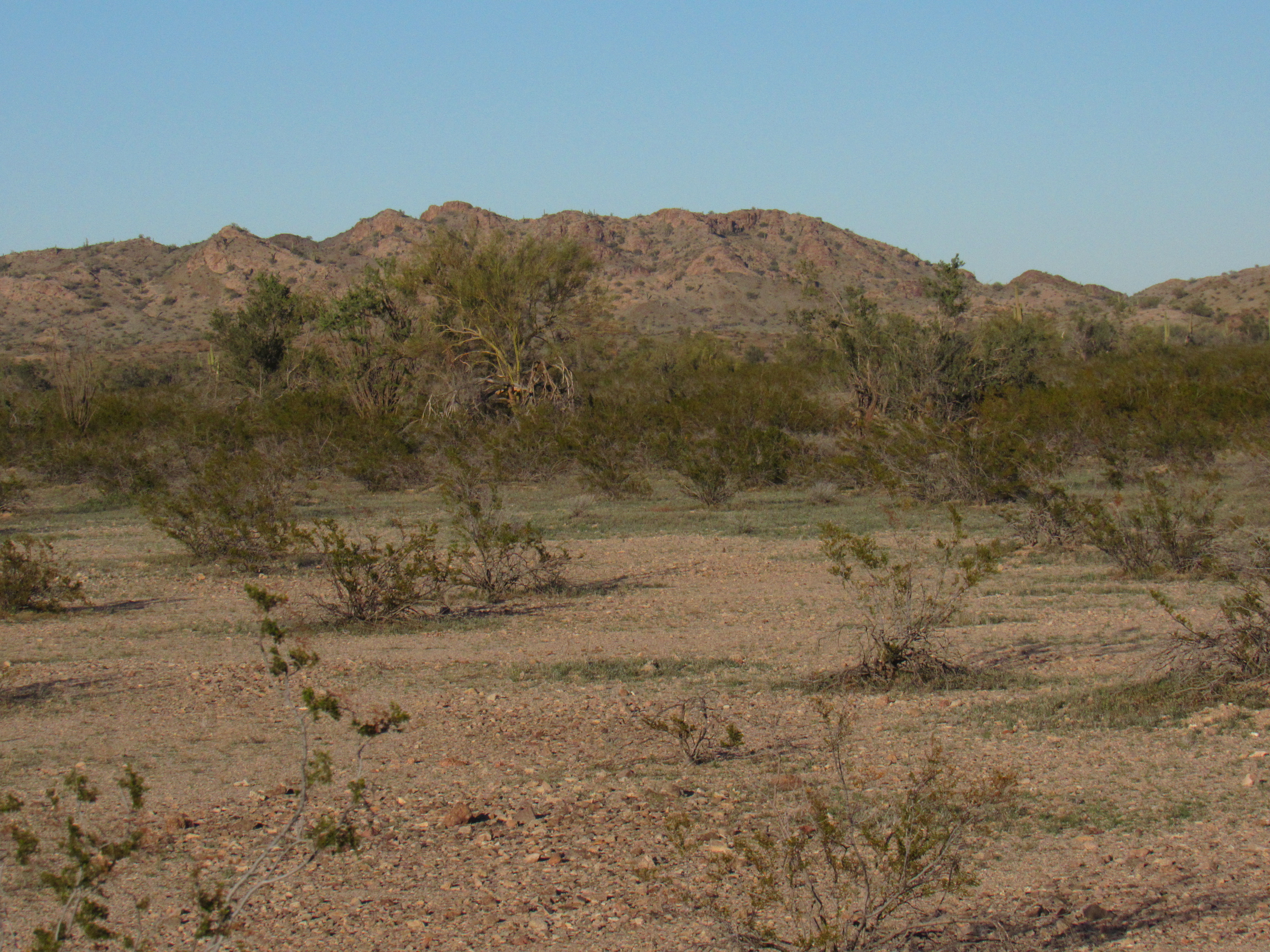
Still going!
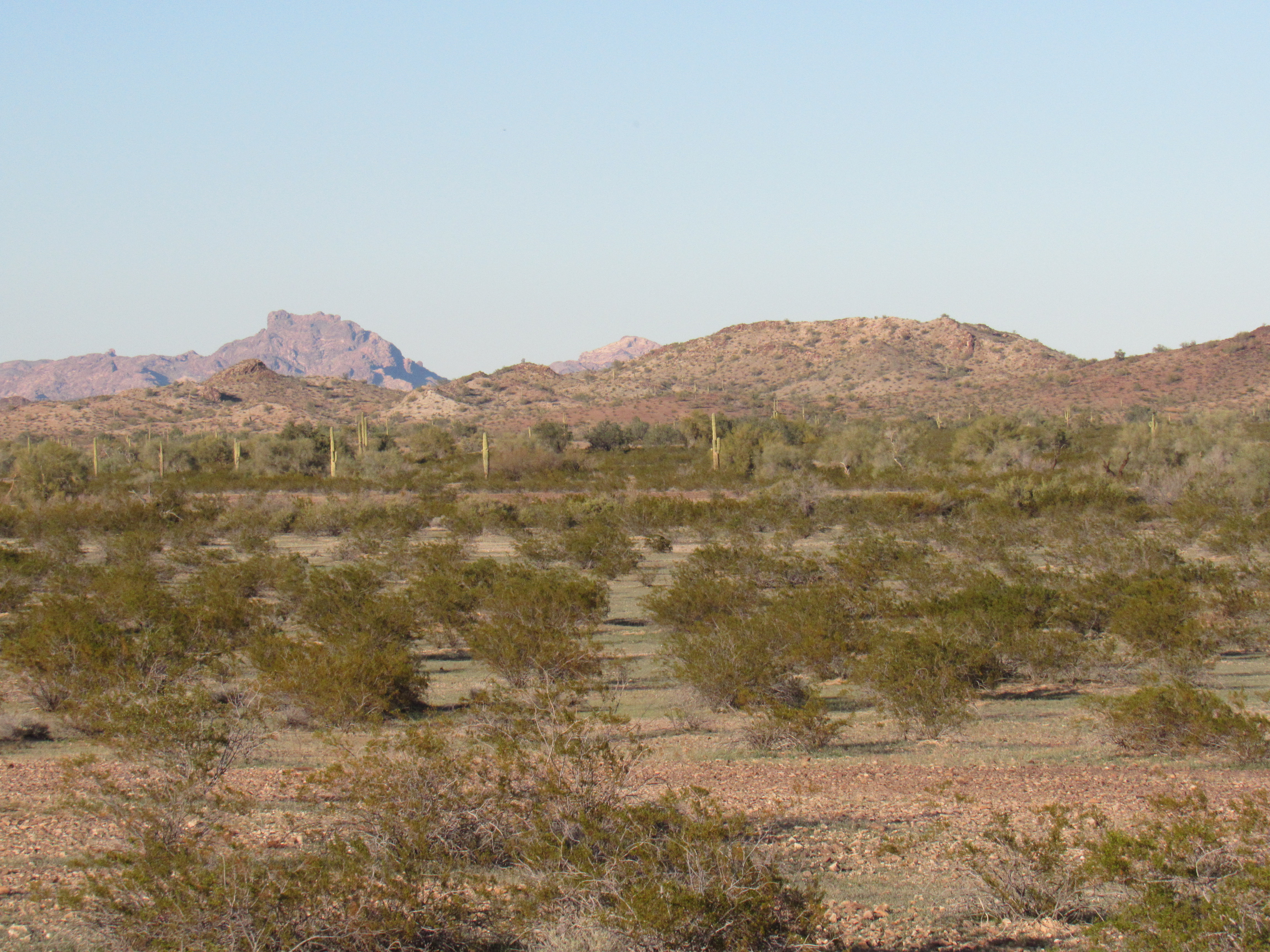
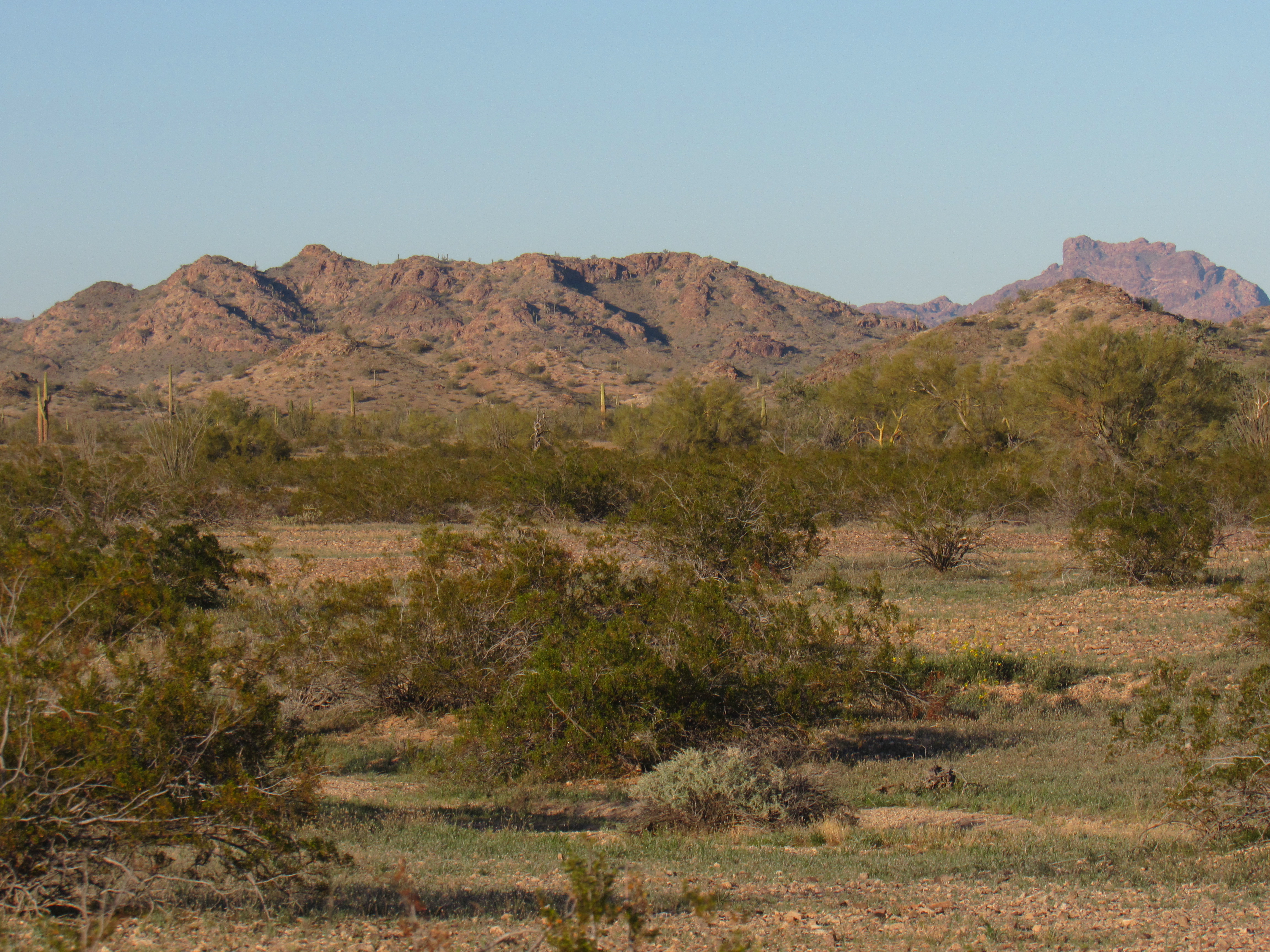
Keep in mind that you’re only seeing the bumps that are in the foreground – there are plenty more that are hidden behind these.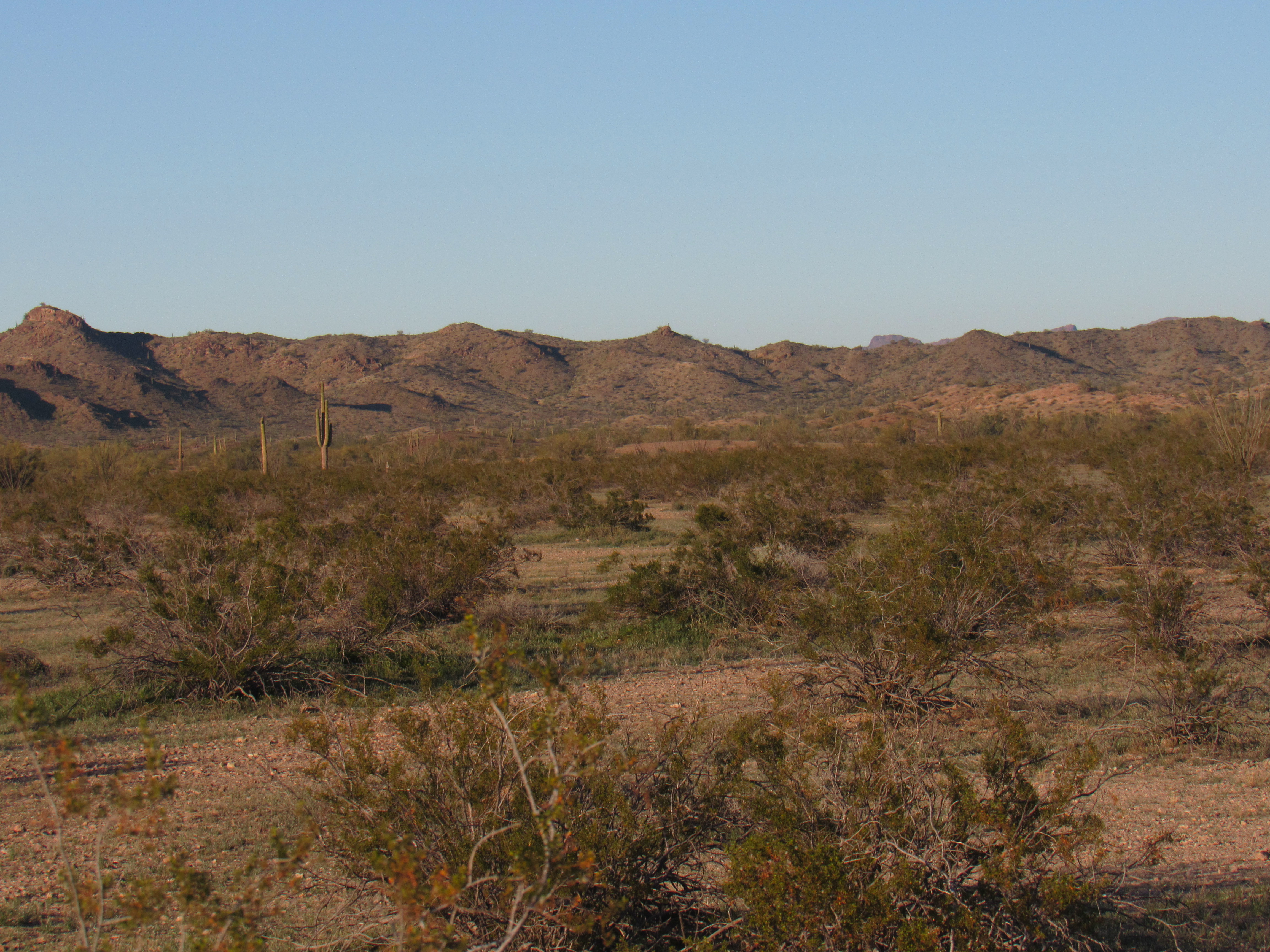

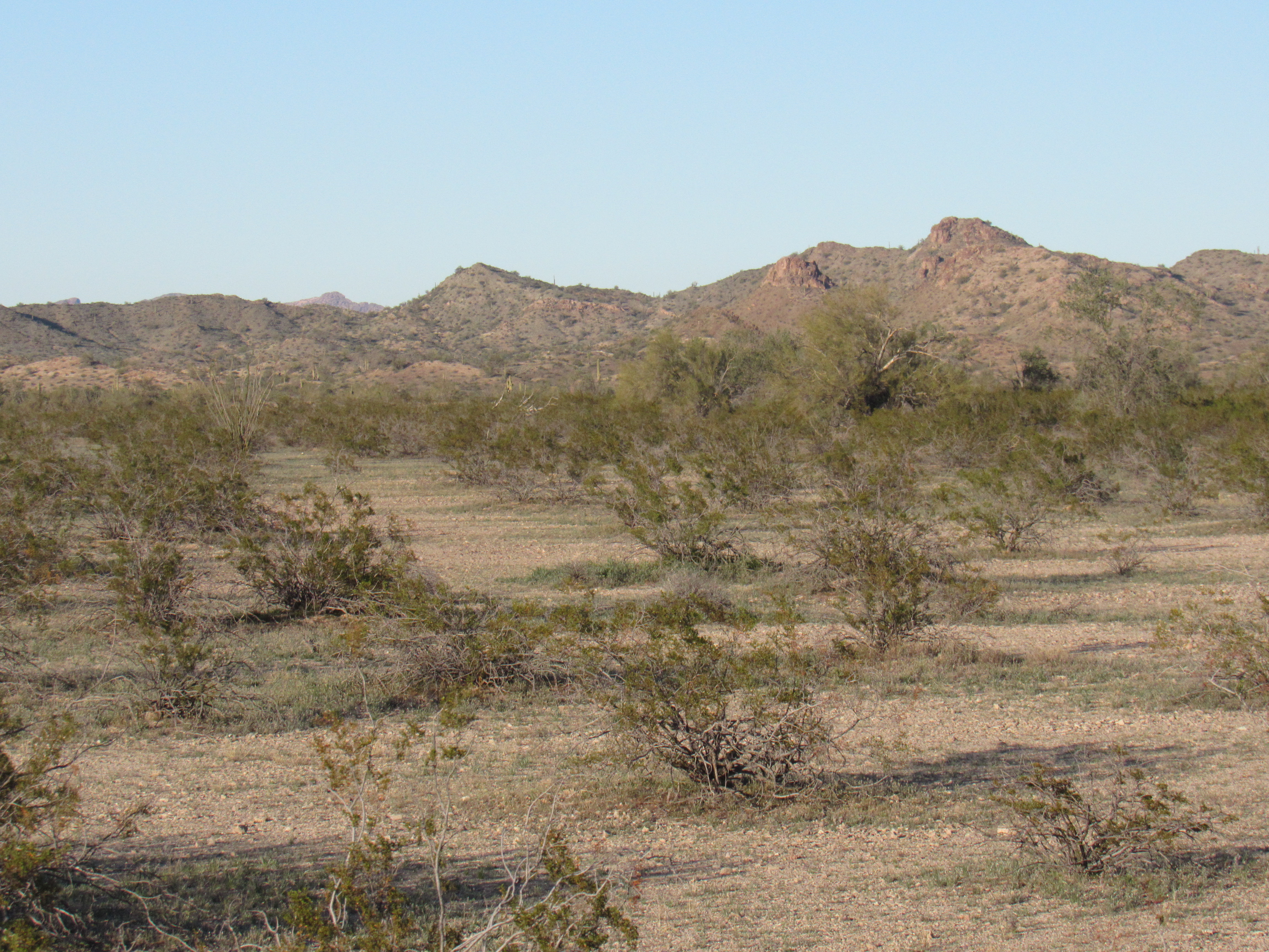
Moving farther along the road to these.


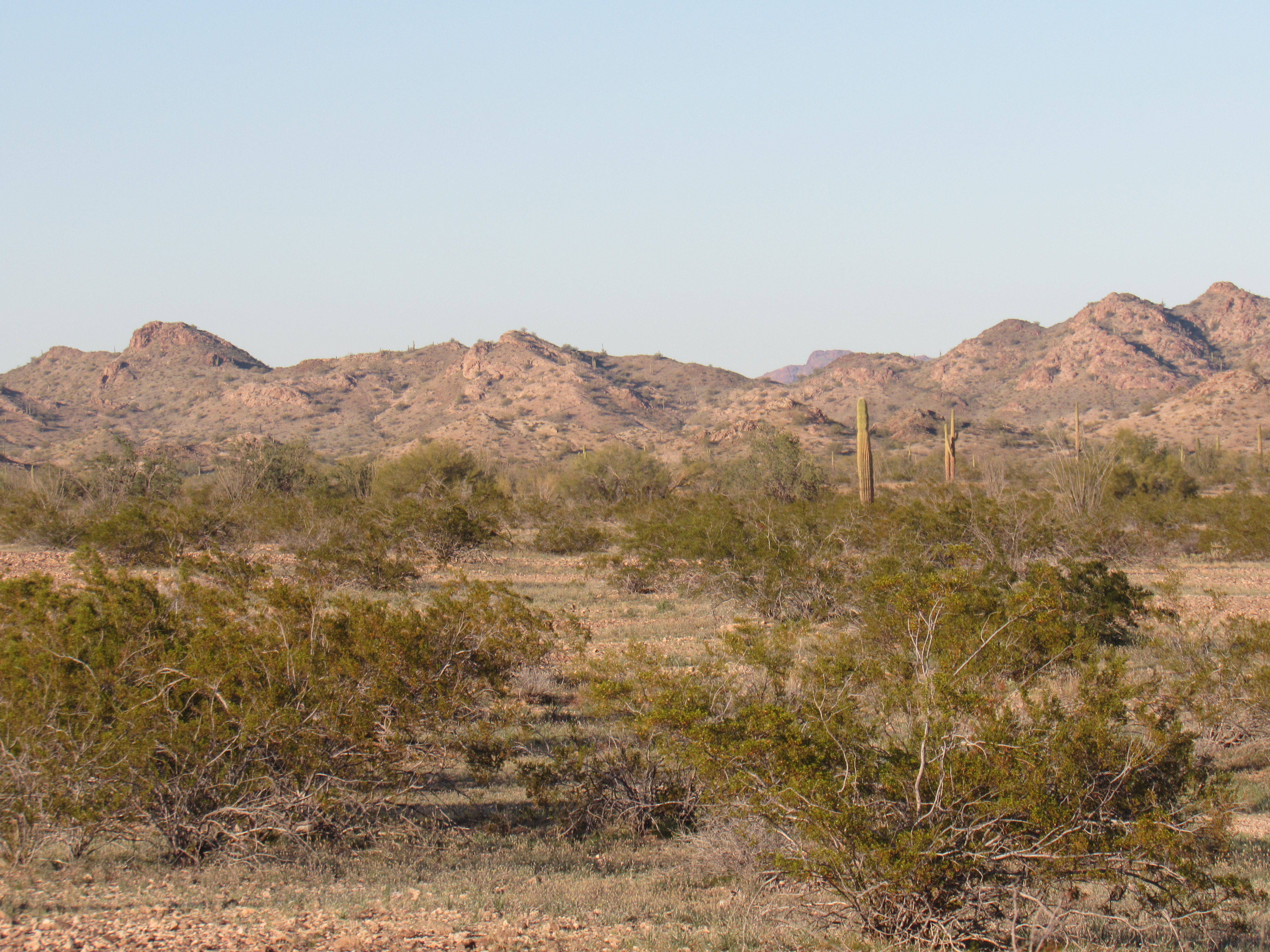
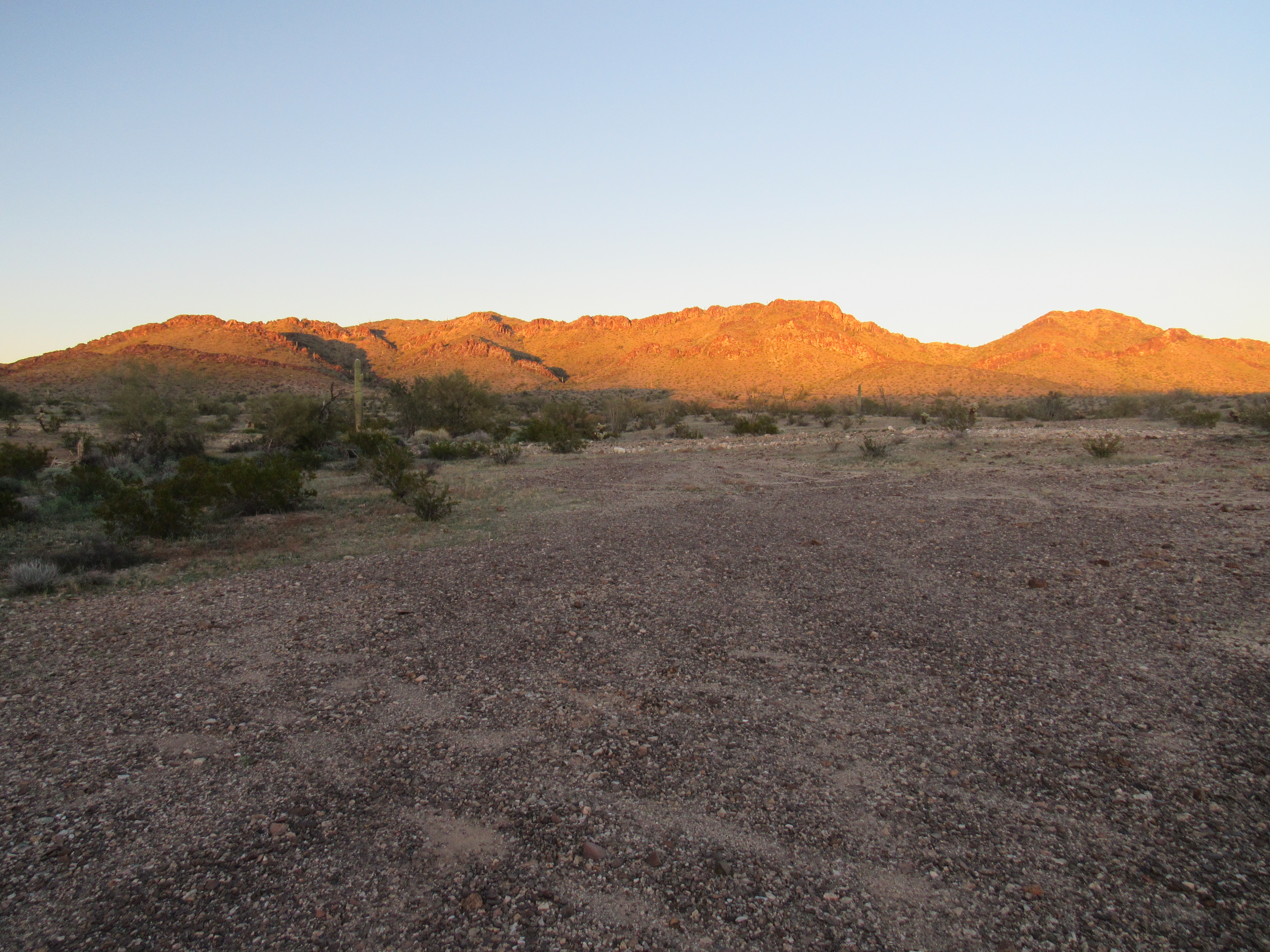
The last picture above shows a bit of the Palomas-Harquahalla Road I was driving. You can see how wide and well-graded it is. It was obvious that they had run a blade over it recently. I had now reached a point where the road actually entered Cemetery Ridge itself on its west side. I found a nice spot in which to camp just off the road as the sun was going down. Point 1664 watched over me as I wound down my day.
Point 1664, its north side.
One change that was occurring as the day wore on was the wind – man, it was really picking up! The temperature was dropping significantly too. I made ready to camp, but took the time for these last photos of parts of the Ridge to the east of me. This next photo shows Point 1736 over to the right in the background with the tree on its summit. Point 1730 is closer and on the left side of the photo.
Nearby.
And here’s one more. Point 1770 is on the right. The long ridge is Point 1790, with its highest point just to the left of the saddle.
The last one.
That’s it, my day was done. Only one peak for the day, but a lot of nice desert under my belt. There were still some fun parts of Cemetery Ridge to come, though, so stay tuned.