
One day about 50 years ago, I was traveling with my girl friend and her sister in Quintana Roo in the Yucatán region of Mexico. It was July, and hot and muggy beyond belief. We had just put in some uncomfortable days camping out on Isla Mujeres, and decided it was time for a major change of pace. As we were leaving, we met a Canadian idiot who had purchased a wild ocelot kitten for 20 dollars. What was he thinking? There’s no way he could have left Mexico with it. We caught a boat to Puerto Juarez on the mainland, then a bus. With a stop in Valladolid, it took us 4 1/2 hours to travel the 200 miles to Mérida.
It was time to treat ourselves to some classier travel. Instead of the sweaty buses we’d been using, we thought we’d give the train a try. Passenger train travel went no farther east than Mérida, so this was definitely the place to give it a try. A visit to the station soon proved that crummy third-class tickets were already available, but we wanted to treat ourselves. We opted for a compartment all to ourselves, but had to wait until 6:30 in the evening to buy our tickets, and almost didn’t get them. It was tiny and cramped, but it boasted ice-cold air-conditioning and actually slept 3. It even had its own little bathroom, and a window. It was 7:45 when we pulled out of the station that evening.
We rode through the night, leaving the steamy Yucatán peninsula behind. Overnight, we traveled through the states of Yucatán, Campeche, Tabasco and into Chiapas. In the morning, we spent hours watching the jungle roll past our window. We had been told that the train didn’t go to Pichucalco, that instead we would have to disembark at the nearby village of Teapa. That we did at 11:00 AM, but bystanders told us that in fact the train did go to Pichucalco. We got right back on and sat in the dining car for another 20 minutes until we reached our destination – this was actually quicker than the 30 minutes it would take you to drive the same distance. We took a 15-minute bus ride from the train station into town.
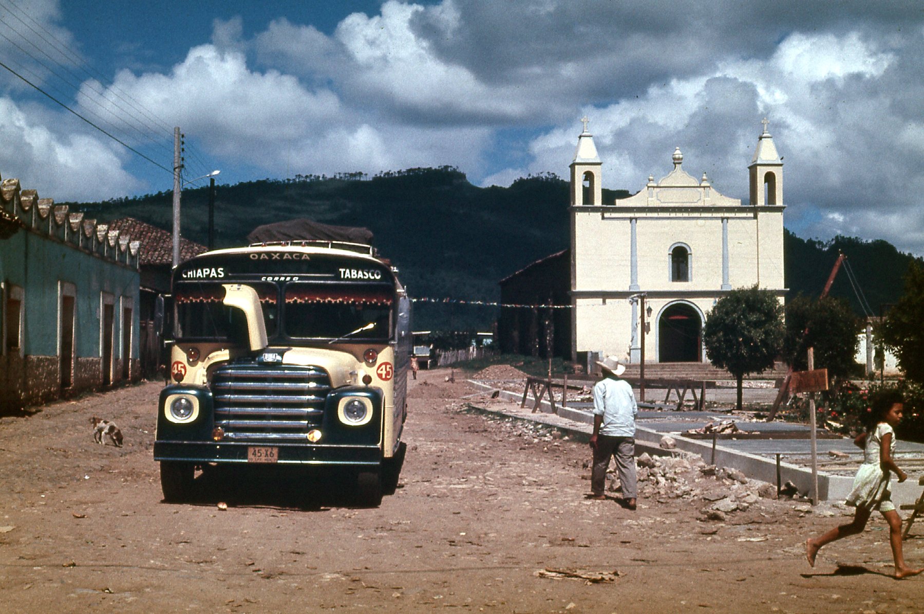
I wanted to pay for a hotel room but they wouldn’t take our traveler’s cheques. Until we could get to a bank and get some cash, we had some decisions to make. We learned at the bus station that a first-class bus all the way to Tuxtla Gutierrez cost 86 pesos and took 7 hours. If we chose a second-class bus, it only cost 28 pesos but would take 8 1/2 hours to cover the same distance (more stops). Since it was a Sunday, we had to get by on what little cash we had on hand, as the bank didn’t open until 9:00 AM the next morning. The risk of waiting was that they could sell all of the tickets and there’d be no room on the bus. The first-class bus left at 7:00 AM, while the second-class bus left at 9:30. We spent most of our cash on 3 second-class tickets, then 60 pesos more on a room at the Hotel Vila, which turned out to be a real dump. The stage was now set for our next adventure, as the bus ride promised to be really something. Here is a picture of the Catholic church in Pichucalco – some call it a cathedral. Many have called it the ugliest church in all of Mexico.
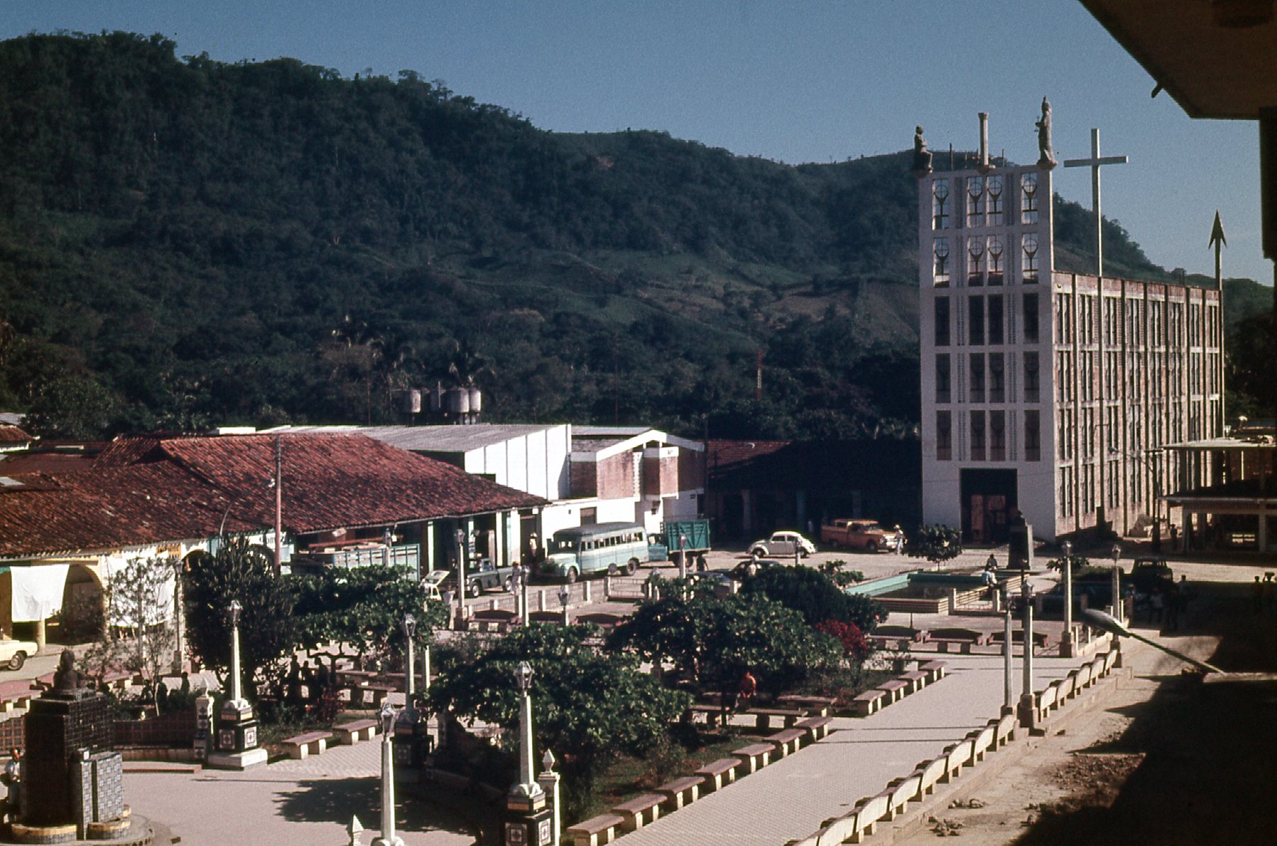
The church, over on the right.
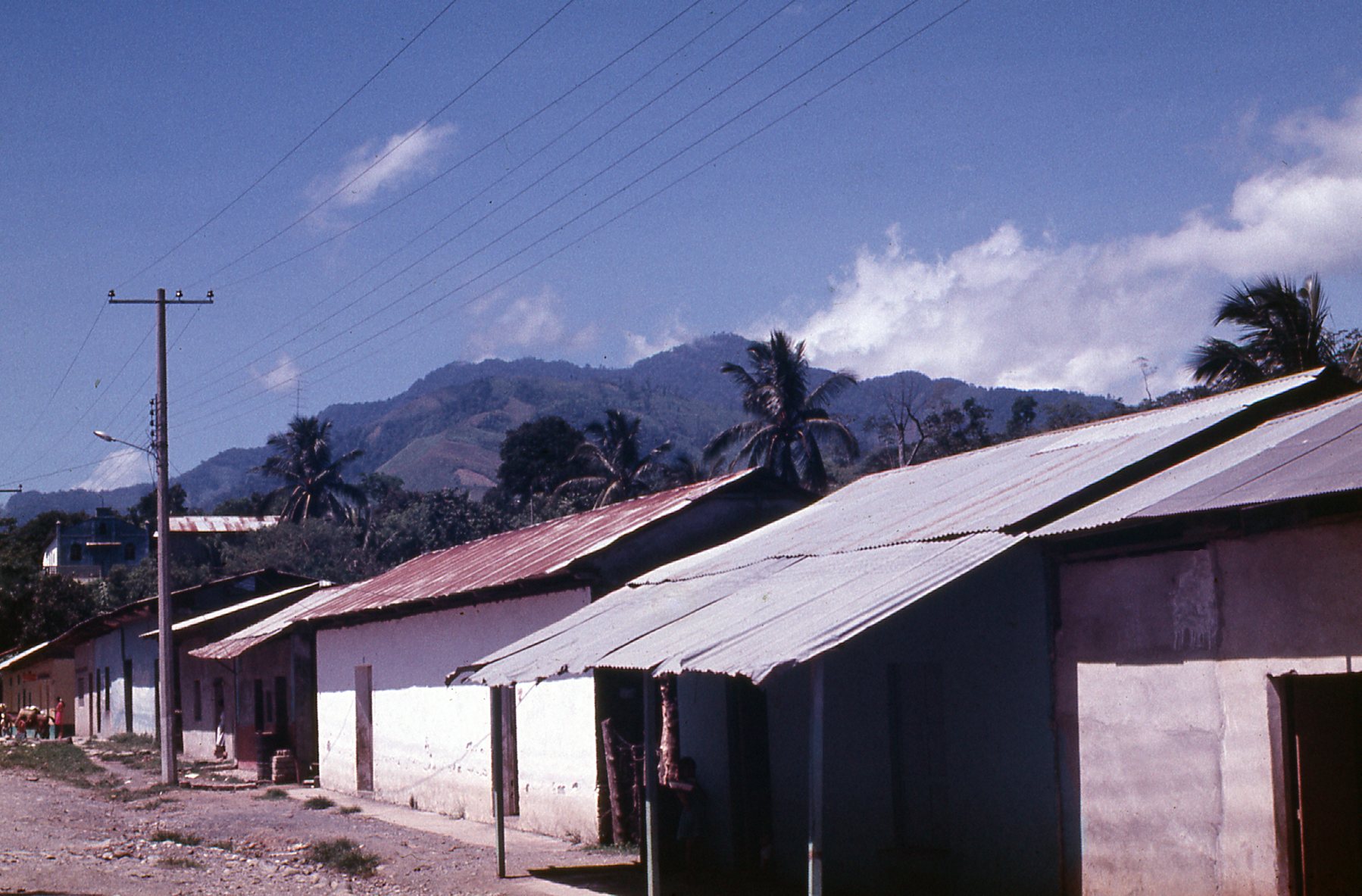
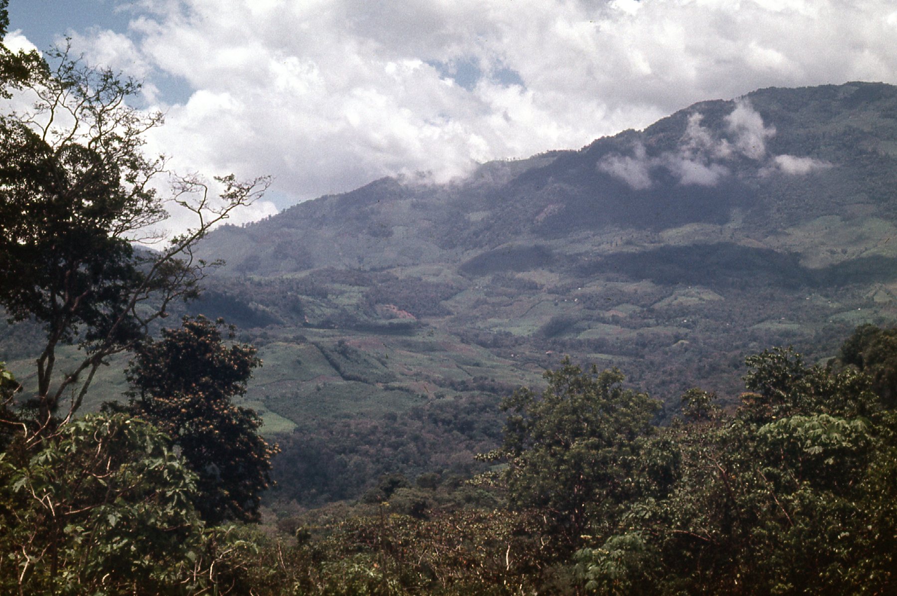
Bright and early, we were up and packed. Our bus left at 9:30, right on time. Pichucalco sits at a mere 100 feet above sea level, in the steamy lowlands, and we were glad to put it behind us. Today’s direction of travel would be primarily a bit east of south. We started to gain elevation right away as we left Pichucalco, and rose out of the hot, jungley terrain around it. In only 16 miles, we arrived at our first stop, a village called Solosuchiapa, and were at 655′ elevation. The mountains were fast approaching.
Solosuchiapa
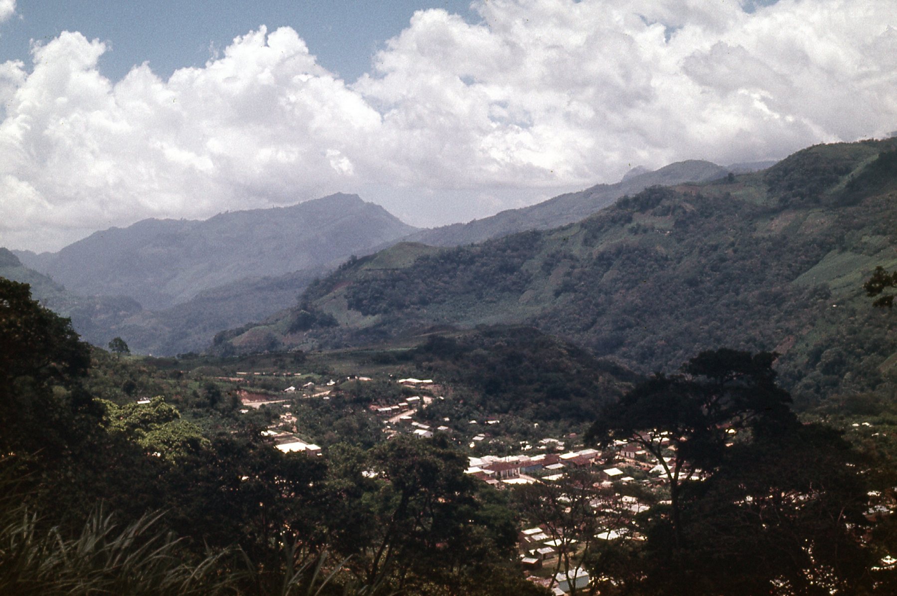
In another 13 miles, we had arrived at Ixhuatán, which sat at 1,380 feet, and were definitely in hilly country.
The main street of Ixhuatán
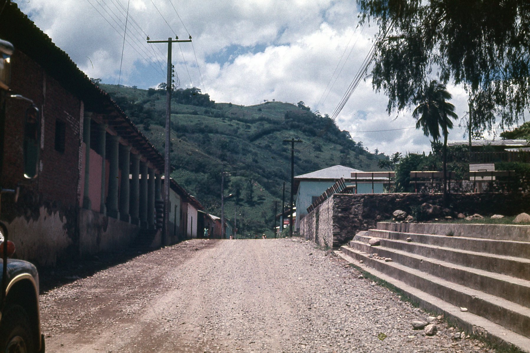
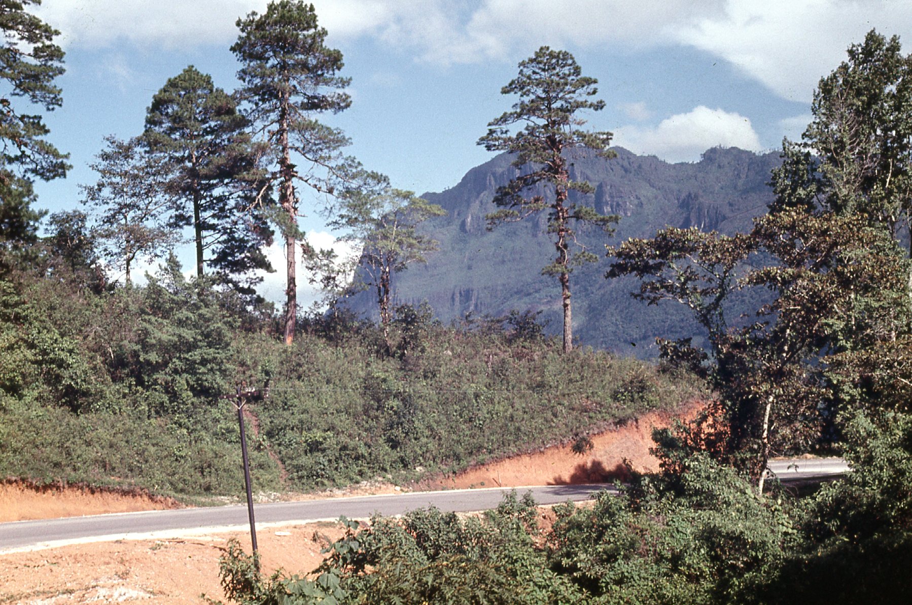
The higher the road climbed, the cooler the outside temperature became. That suited us just fine, as the old bus had no air-conditioning. We were traveling Mexican national highway #195. The road climbed steeply at times, and in just over 4 more miles had taken us to the village of Tapilula and all the way up to 2,625 feet.
Tapilula
We continued climbing above Tapilula.
Above Tapilula
Here’s a look back down to the town.
A look down to the town.
Here’s a look up to higher country ahead.
High country
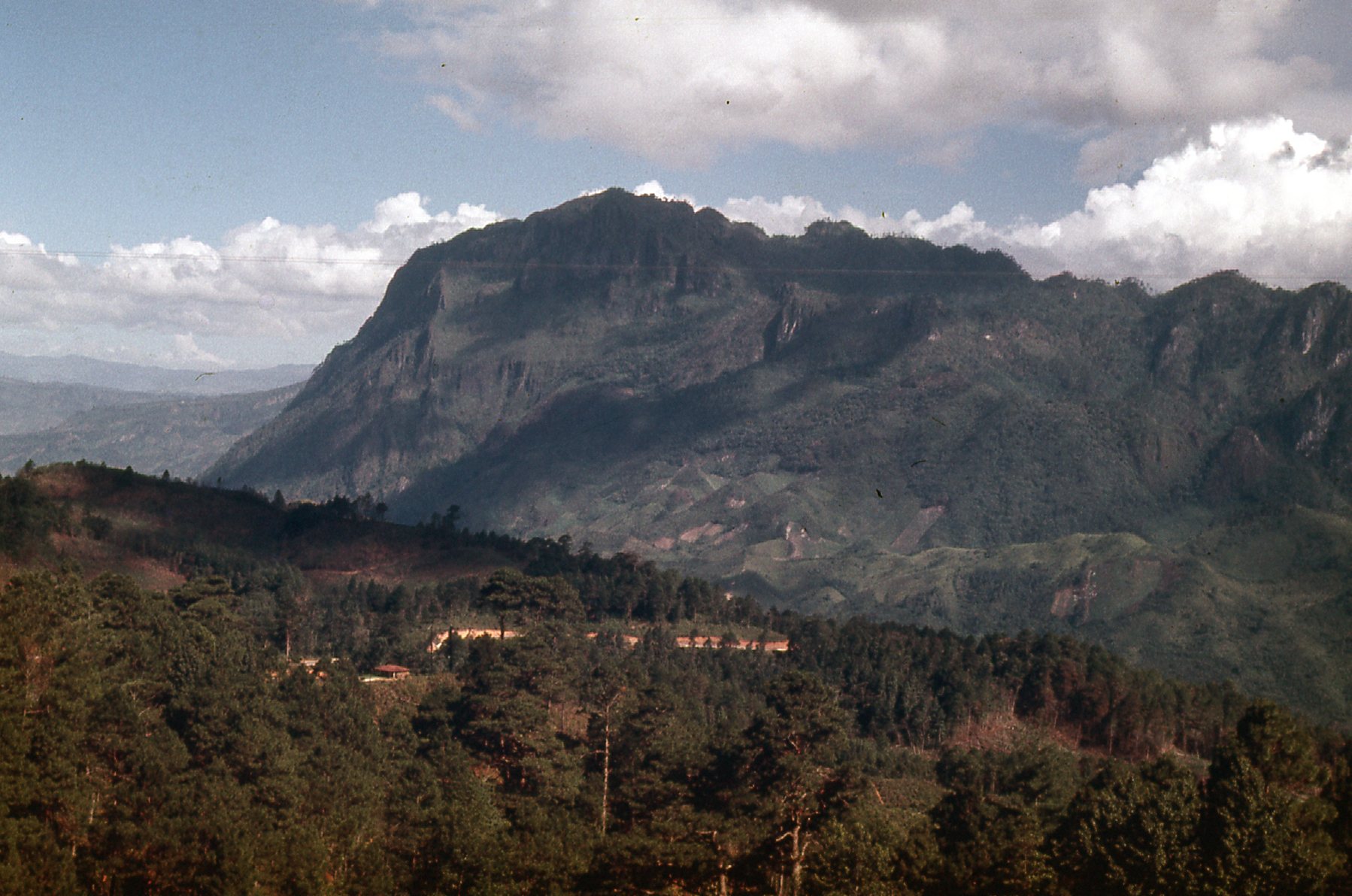
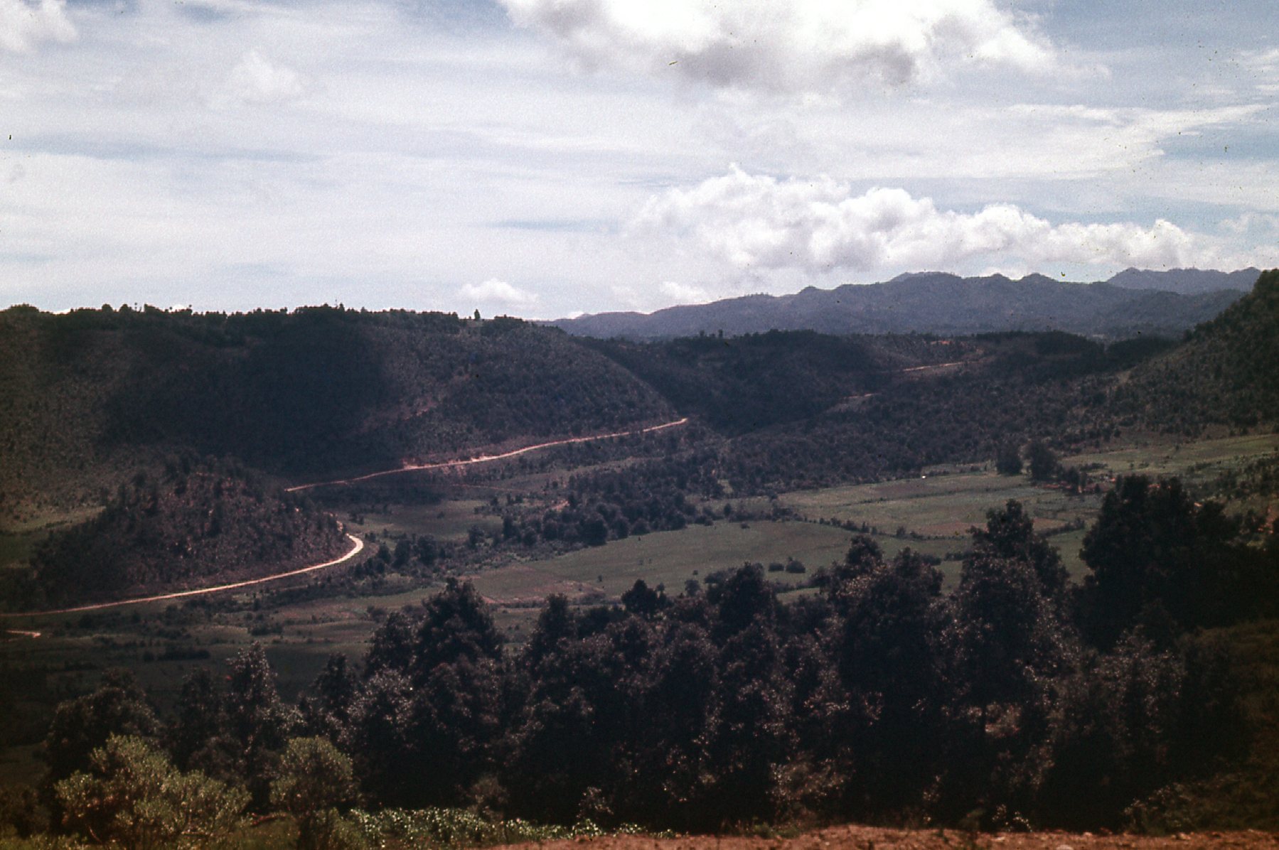
We climbed, then climbed some more. About 15 miles past Tapilula, we reached the height-of-land. This was the Continental Divide, the spot where waters flowed to the Atlantic Ocean on one side and the Pacific Ocean on the other side. The elevation here was a whopping 6,235 feet.
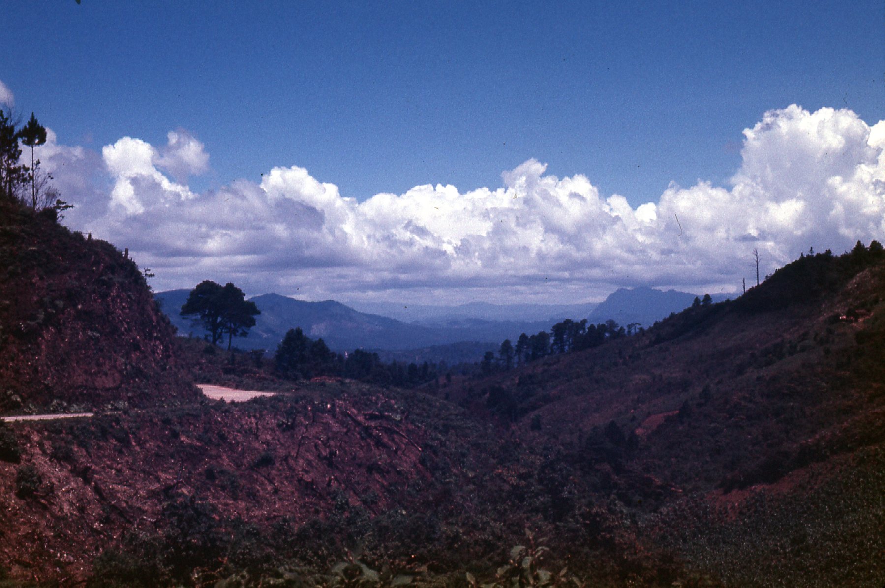
Looking south
Once we crossed the divide, it was like being in a different world. Immediately, the road changed – it was much better, well-maintained. We were now in beautiful pine forests, and a few miles later arrived at the village of Rincón Chamula. We seemed to be staying at the same elevation, a bit over 6,200 feet. It had taken us 4 hours to travel from Pichucalco to the divide.
Rincón Chamula
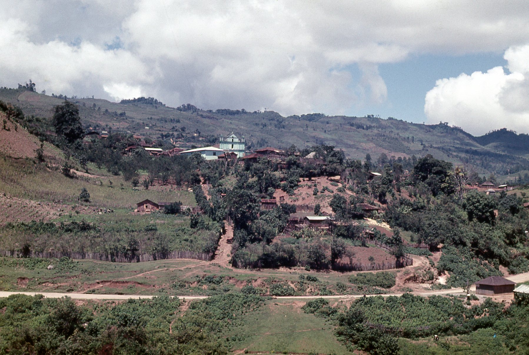
During the next 6 miles, we hardly dropped at all, and by the time we rolled into the next village we were still at 5,775 feet above sea level. This was Pueblo Nuevo Solistahuacán, and here’s our bus.
A quiet little place
This is a shot looking out the bus windshield.
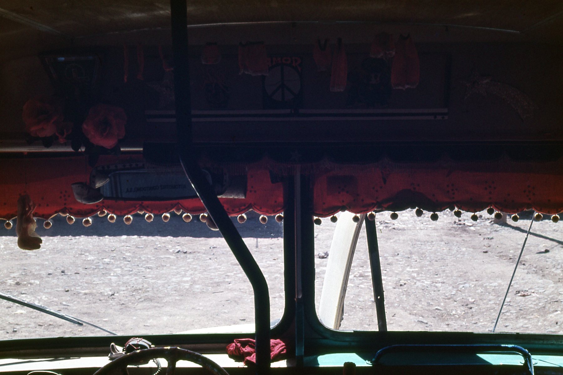
Inside, looking out.
Here’s a view of the pine forest south of Pueblo Nuevo.
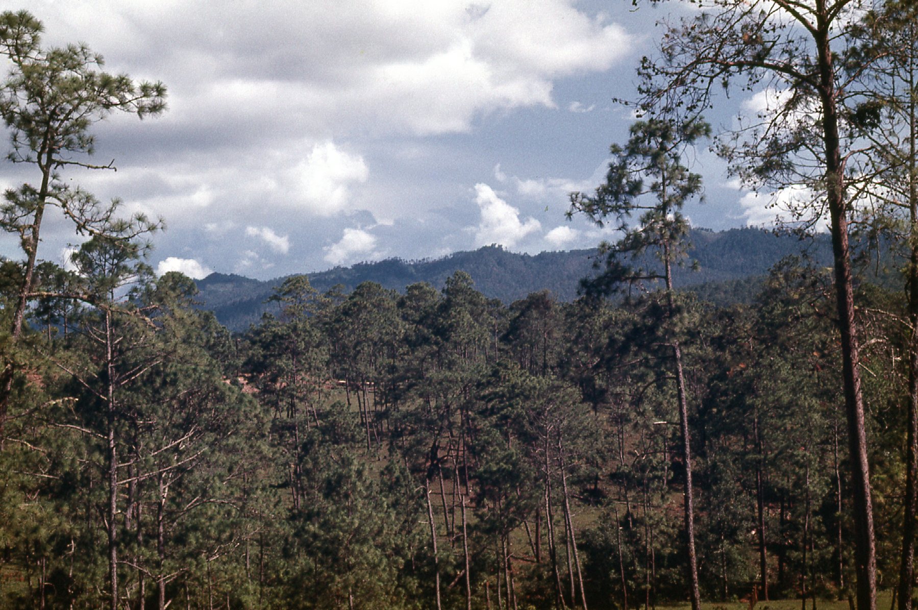
Pine forest
Our bus was always so full, even the aisle was packed, with no room for even one more person to stand.
South from the divide.
The mountains appeared quite rugged and seemed to go on forever.
Along the road
We continued south from Pueblo Nuevo for another 39 miles until we came to Soyaló, which was still at 4,000 feet.
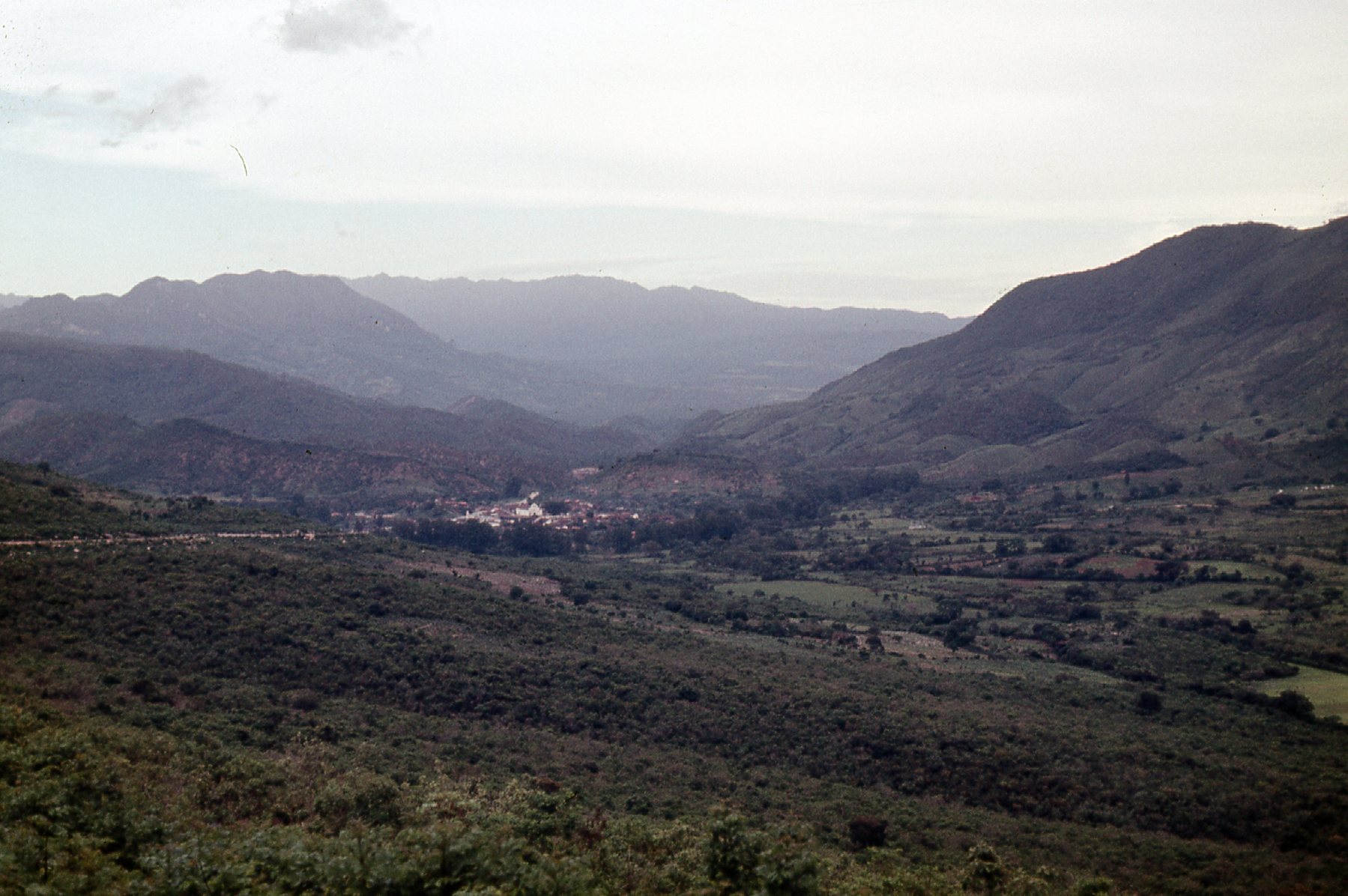
Approaching Soyaló
All day, we had been traveling on Highway 195. Finally, we arrived at a junction where 195 met with Highway 190. The 3 of us got off the bus, along with 3 Mexican travelers, and waited on the roadside. If we had stayed on the bus, it would have traveled west to the capital city of Chiapas, known as Tuxtla Gutiérrez, about 22 miles away. Instead, we wanted to head east to the city of San Cristóbal de las Casas along Highway 190, about 26 miles away. Another bus came along within a few minutes and we boarded. Here’s a picture showing us waiting for that bus – on the right are the 2 girls with whom I was traveling.
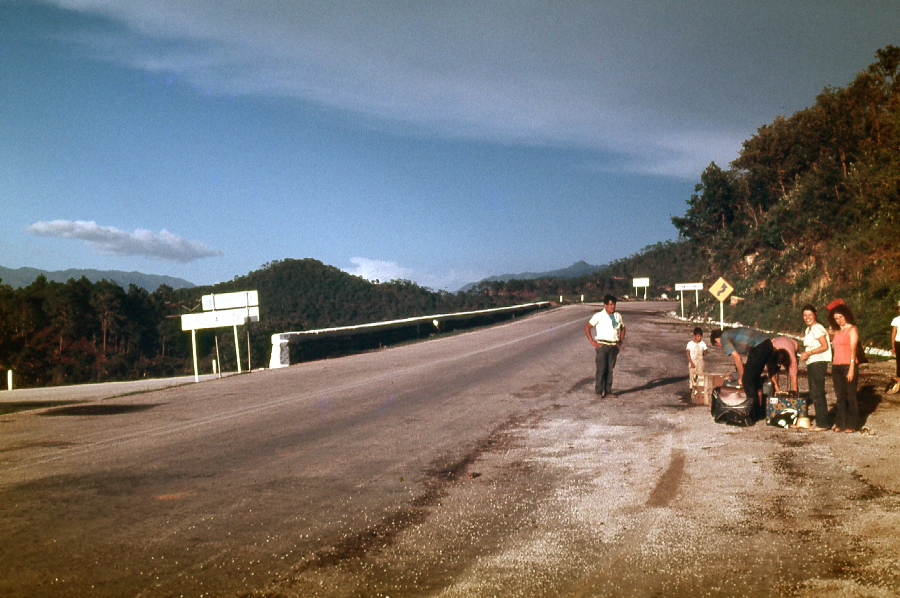
Waiting for the bus
The bus was packed – with no seats left, we had to stand. That wouldn’t have been so bad, but it took a full 2 hours to travel that 26 miles – there were a dizzying number of switchbacks to negotiate. At long last, we arrived in the city at 8:15 PM. It had taken a full 10 3/4 hours to travel 153 miles, for an average speed of 14 miles per hour. We knew it’d be an adventure, but not quite that much of one!
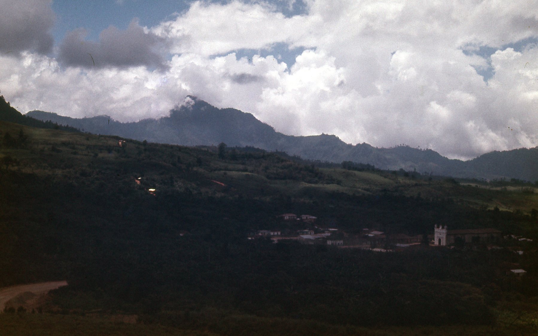
At the bus station, there were always people trying to convince you to go to one hotel or another. I told a kid that we wanted the cheapest place possible, so he conducted us to a place that filled the bill. A large room with cots, a dirt floor and a naked light bulb hanging from the ceiling. Okay, even we had our standards, so we nixed that place and were soon ensconced in a real hotel with a room with bath. The next day was spent getting to know the beautiful city – we did a lot of walking, but because it sat at an elevation of 6,900 feet, it was pleasantly cool even in mid-summer. We met an American couple who invited us to accompany them on an excursion to a nearby village in their rented Datsun. After a couple of wrong roads, we finally found our way to Chamula. Here is a view of the area around the town.
Near Chamula
Here’s a view as we entered the town. In the distance, you can see the church, known as the Templo de San Juan Chamula.
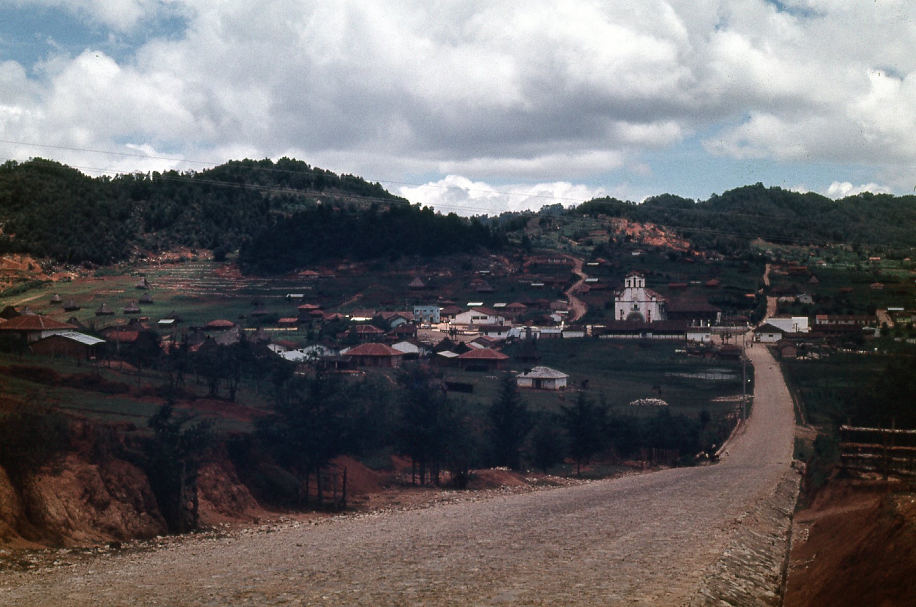
The village of Chamula, with about 2,500 souls.
Ostensibly, it is a Catholic church, but unlike any other. The town sits at 7,200 feet, and its entire population is an indigenous group known at the Tzotzil, who are Mayan, and they all speak their own language, also known as Tzotzil. The town enjoys unique autonomous status within Mexico – no outside military or police are allowed in the village, and they have their own police force. The church is filled with colorful candles and smoke from burning copal resin incense. The local form of Catholicism is a blend of pre-conquest Maya customs and Spanish Catholic traditions. There are no pews in the church, and the floor is completely covered in a carpet of green pine boughs. Medicine men diagnose various afflictions and prescribe remedies such as candles of various sizes and colors, specific flower petals or feathers, or even a live chicken. The remedies are brought to a healing ceremony, where Chamula families kneel on the floor of the church with sacrificial items, stick candles to the floor with melted wax, drink ceremonial cups of Posh, an artisanal sugar-cane-based liquor, and chant prayers in an archaic dialect of Tzotzil.
Cast your memory back a couple of decades and you might recall a group called the Zapatistas. They are based in the state of Chiapas, and have been very influential in the Chamula area. Click on the link to get a good, hard look at who they are and what they stand for. It may remind you of Subcomandante Marcos, who was in the news a lot back in the day. I have one more Chamula photo I want to share with you. The thatched roofs of the dwellings are unique.
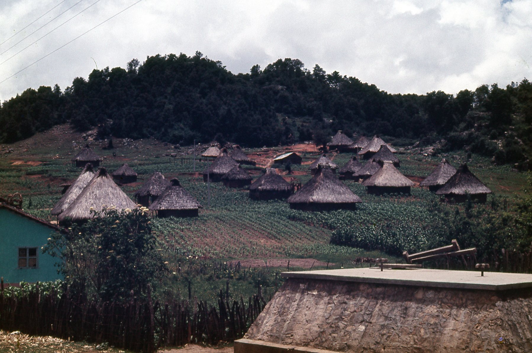
In Chamula
We spent a wonderful couple of days in the area before moving on to other places. I hope you’ve enjoyed our trip across the Continental Divide, and please stay tuned for The Second Part, where we’ll do it again but in a different area.