Did I ever tell you how much I hate the water? I had a swimming pool once at a home I owned many years ago, but I never used it. I took swimming lessons as a kid, but to this day swimming is for me simply a way of staying alive in the water. Now don’t get me wrong, I enjoy looking at water, such as at a lake or the ocean. I’ve even been known to stick a toe in, or roll up my pant-legs and get my feet wet by wading, but I’d never willingly do more than that. There was one time, though, truth be told, where I did go swimming in a lake, the very lake that I’m going to tell you about in this story. We’ll get to that later.
Harrison Lake is only 82 miles east of Vancouver and was pretty close to my home town, only 34 miles away. Here are a few pertinent facts: it’s a natural lake (no dam), 37 miles long and up to 5.6 miles wide; it’s up to 915 feet deep, with peaks rising from its shores almost up to 8,000 feet, so it’s almost like a fjord. For a lake that’s 80 miles from the ocean, it sits at a mere 33 feet above sea level. There’s a town at the southern end of the lake called Harrison Hot Springs, and that’s because, you guessed it, there’s a natural hot springs there which is quite an attraction. The town has about 1,500 inhabitants and relies heavily on tourism.
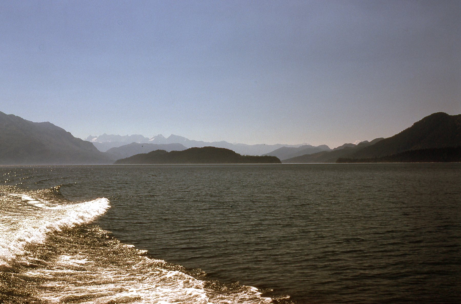
Back in 1969 when I got my first car, I made a trip out to Harrison with my sisters and former room-mate from university to celebrate my new old wheels. We drove the logging roads up the east side of the lake where I promptly got 2 flat tires. There we were on a freezing-cold December day, stuck on the side of the road at 2,000 feet above the lake. A good samaritan came by and took me and the 2 tires into town while Don and my sisters waited patiently. He even offered to wait while the flats were repaired and then drove me all the way back to my car, hours later – the guy was a saint. We did have a good view of the lake, though, from where the flats occurred.
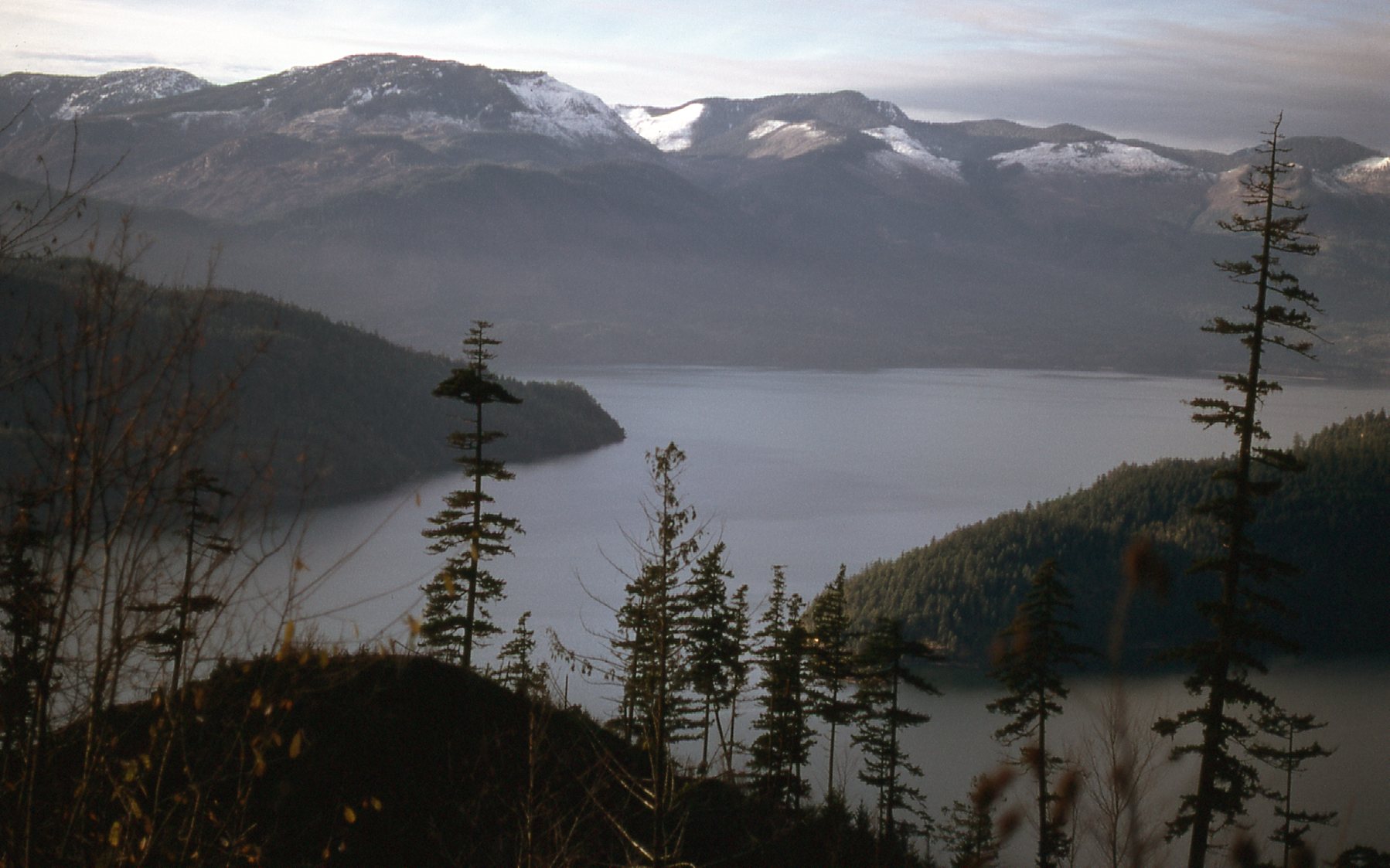
Looking down to the lake. On the left, we see the northern tip of Echo Island; on the right is the southern end of a long peninsula that protrudes into the lake.
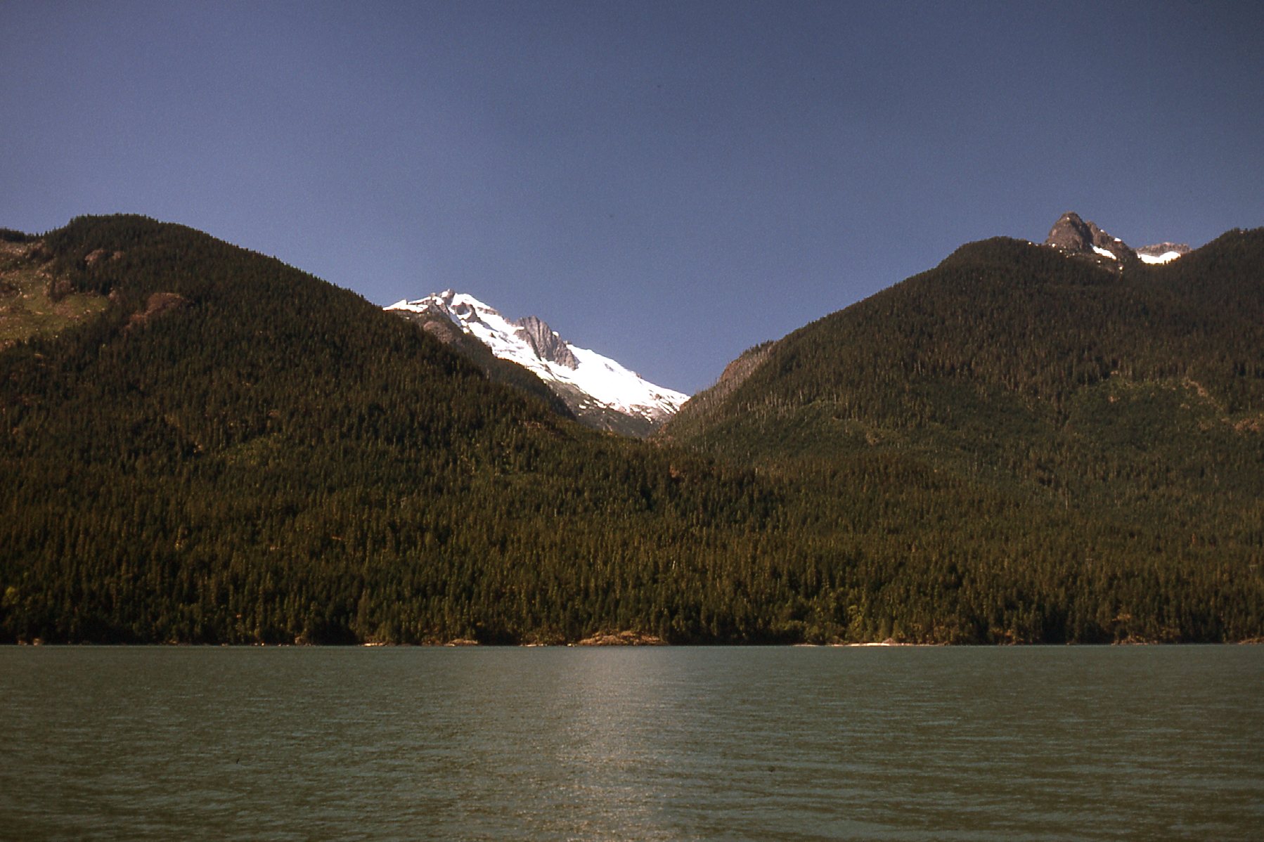
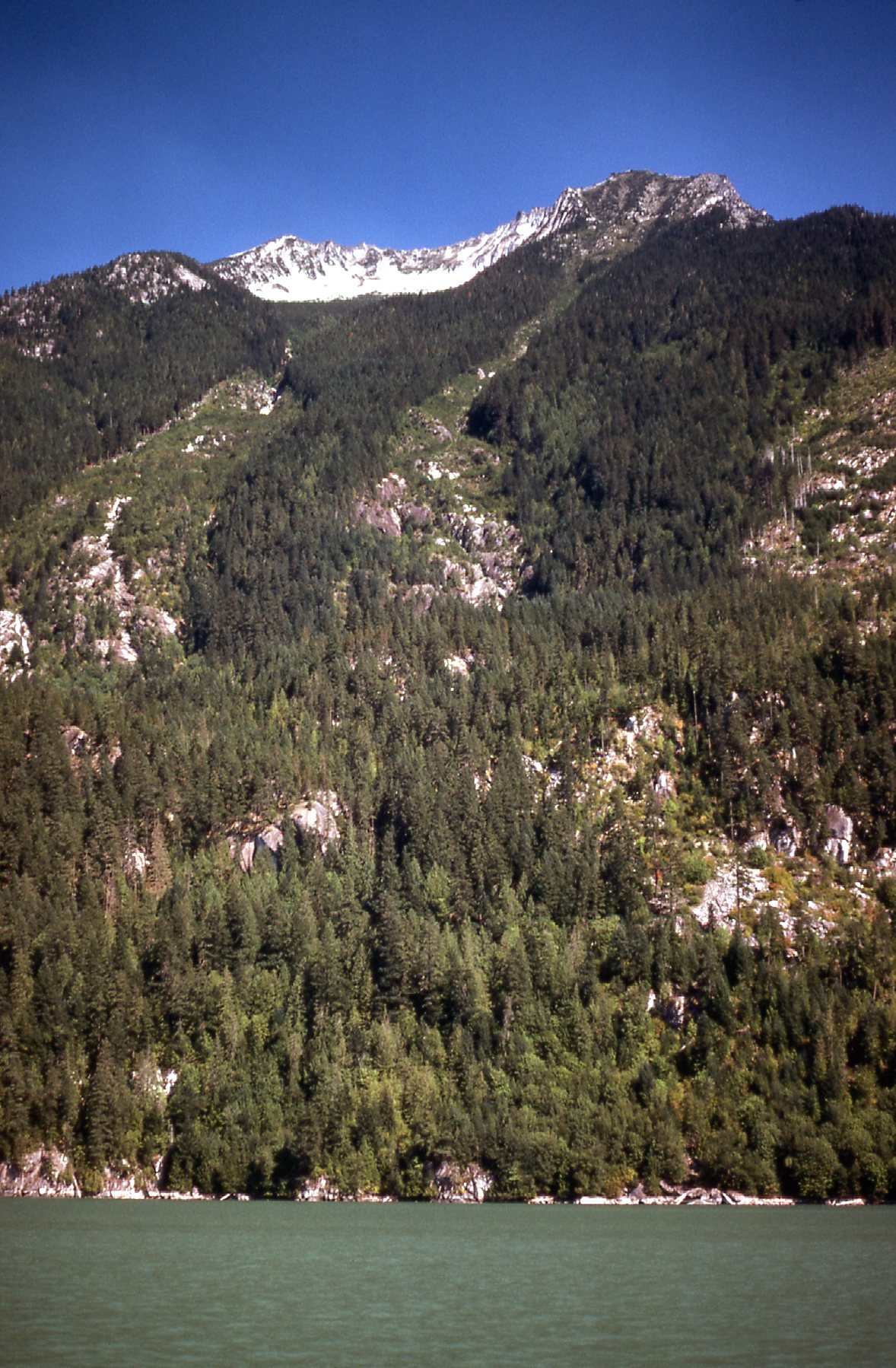
In early 1973 I moved from Vancouver to Mission and started to explore some of the logging roads up the sides of the lake. Views like this, even in crappy weather, whetted my appetite to learn more. What was out there?
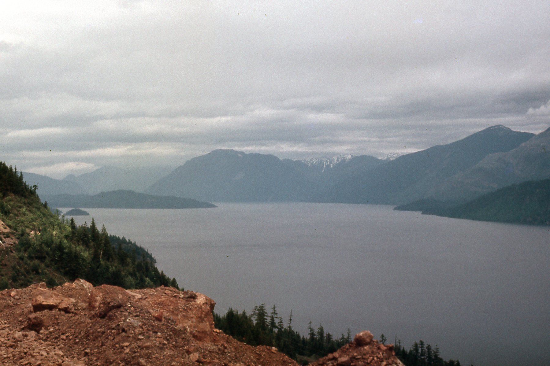
From the west side of the lake, looking north.
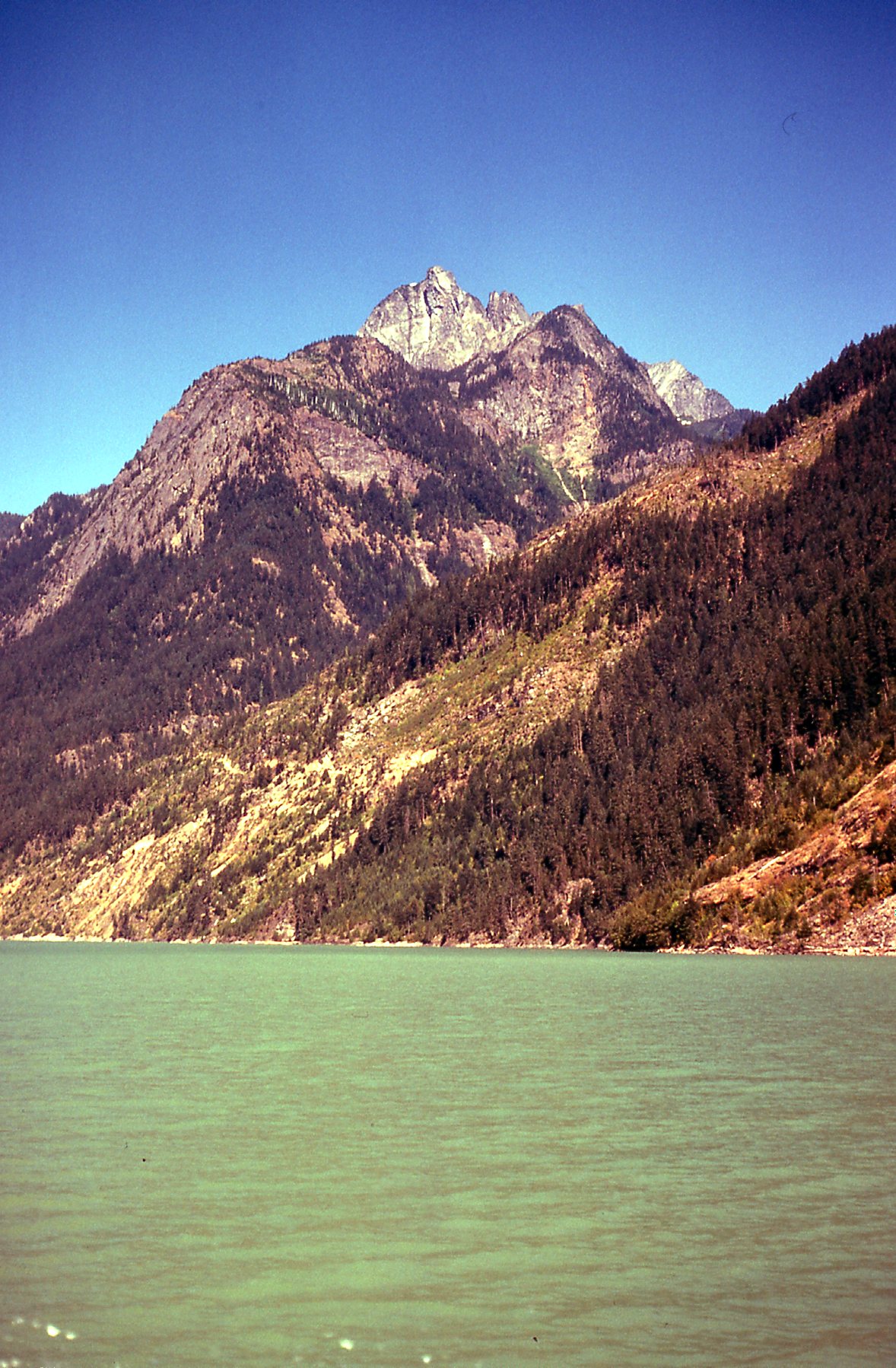
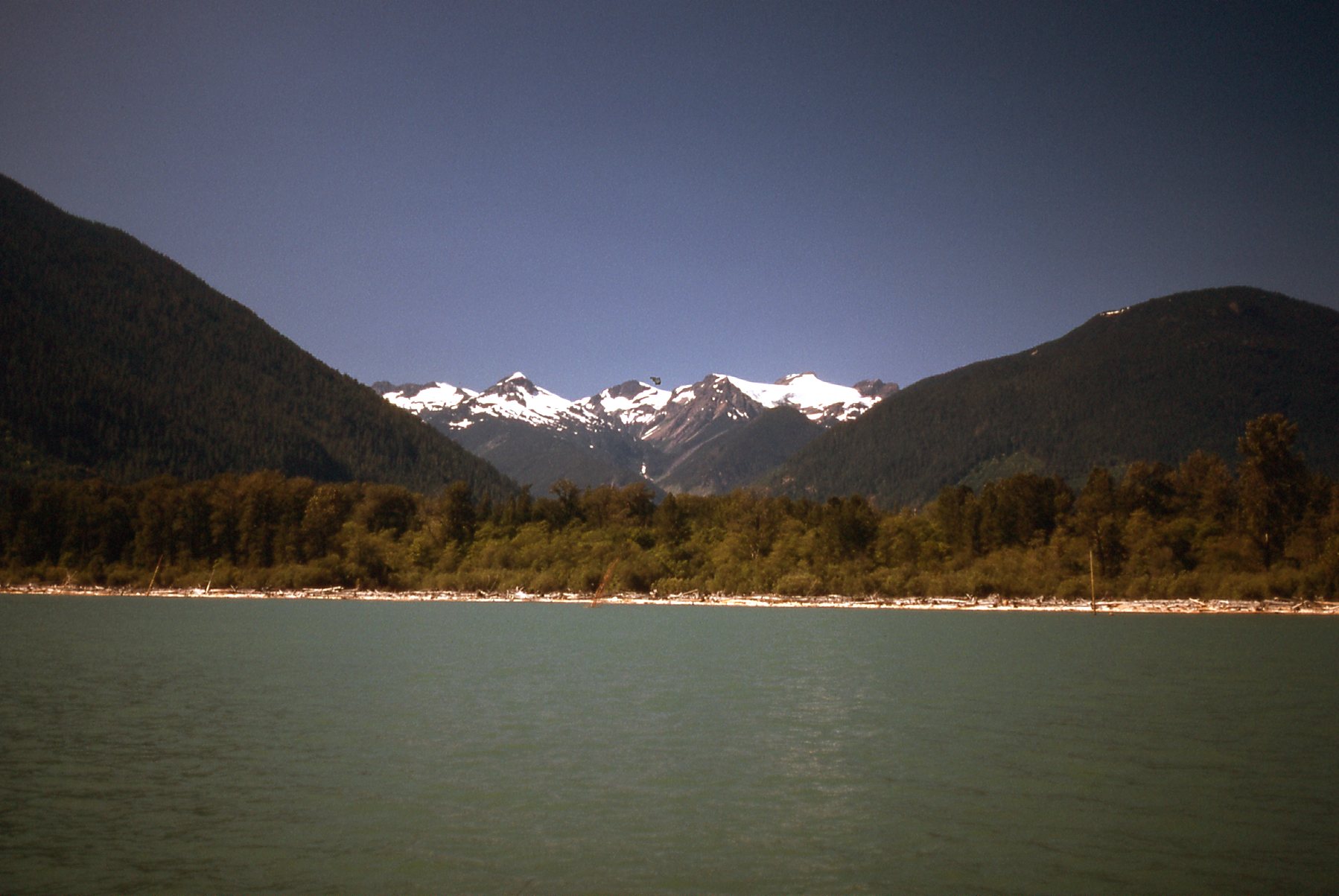
in 1974, I learned that there was a boat that plied the lake’s waters. A couple of times each week, it departed the Riv-Tow dock at the southern end of the lake, not far from the town. Late that August, it seemed like a good idea to try it out. For just a few bucks, you could ride as a passenger the full length of the lake and back, either out of the weather in the cabin or out on the deck. The passenger trade wasn’t the raison d’être for the boat. It existed to carry men and supplies to the logging camps along the length of the lake. I took pictures as we traveled on the perfect summer day. This first one was taken soon after our departure. I like it because it shows Mount Urquhart in the distance – it’s the pointy one in the middle with snow on it, 22 miles to the north-northeast.
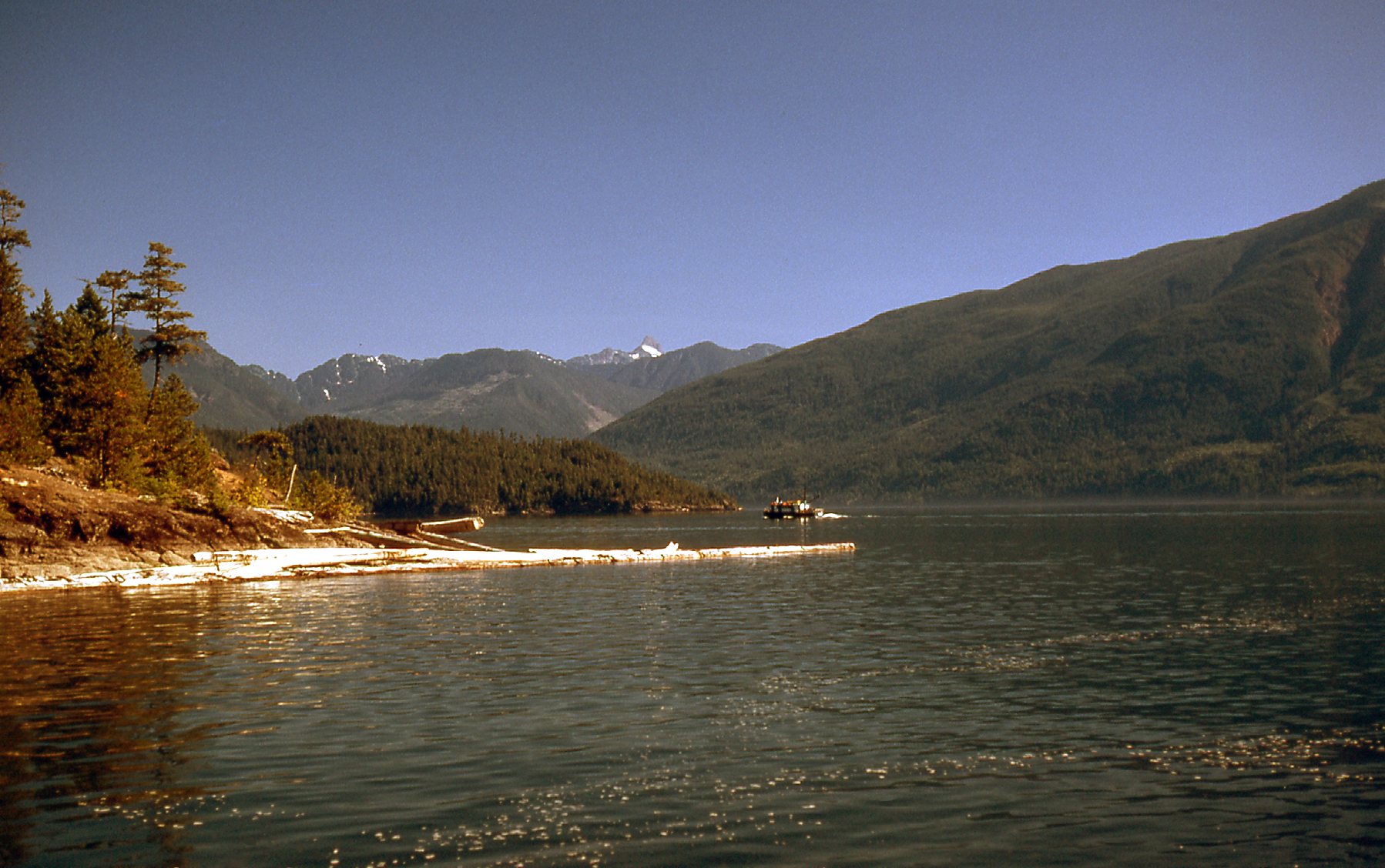
Looking up the lake.
Before long, we reached the first of the camps. All the captain had to do was dock, and men working at the logging camp would be there to quickly unload their supplies. There was no time wasted, and he’d soon be moving on. Here we are, leaving what was called Ten-Mile Camp on the west shore of the lake.
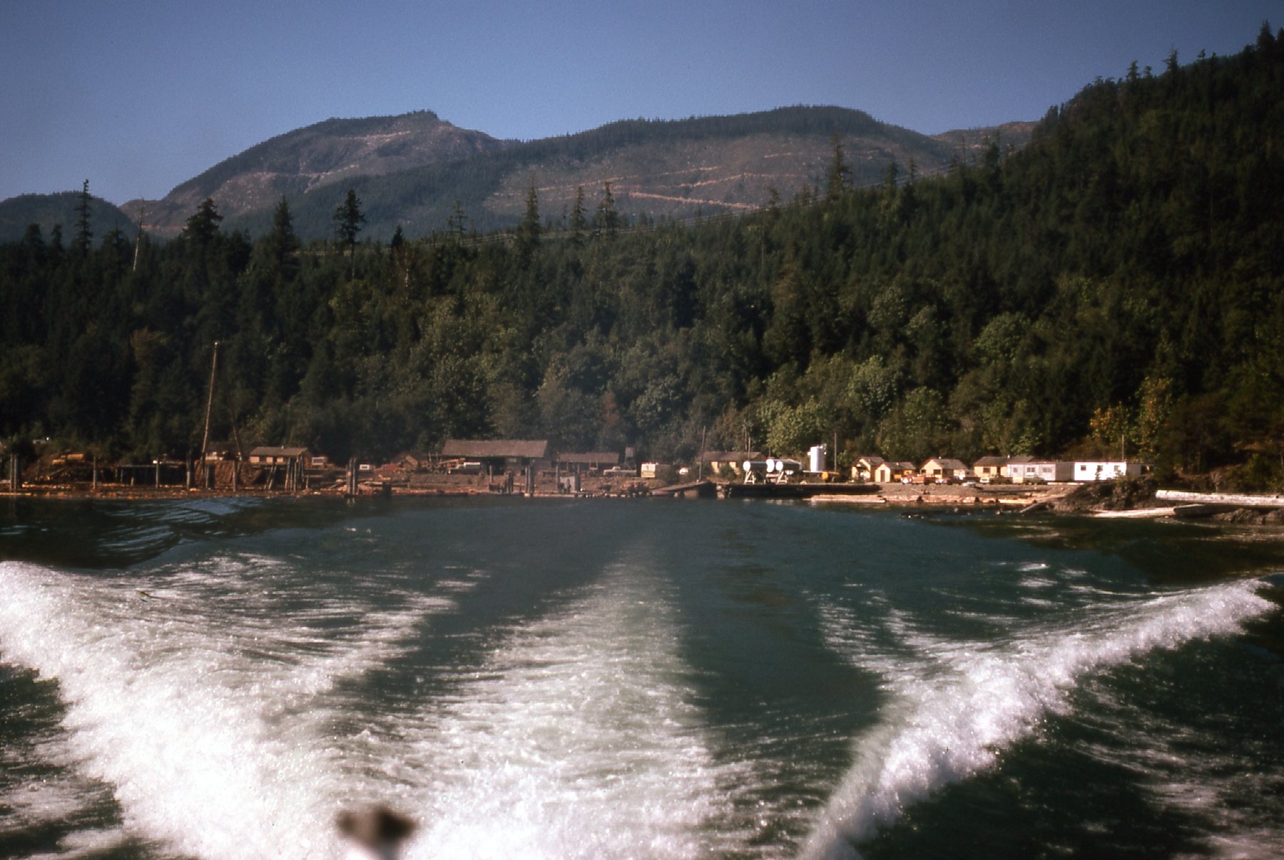
Ten-Mile Camp
From out on the lake, Mount Breakenridge dominated the view to the north. It rises 7,858 feet above the lake, and its icefield is visible for a long way in every direction.
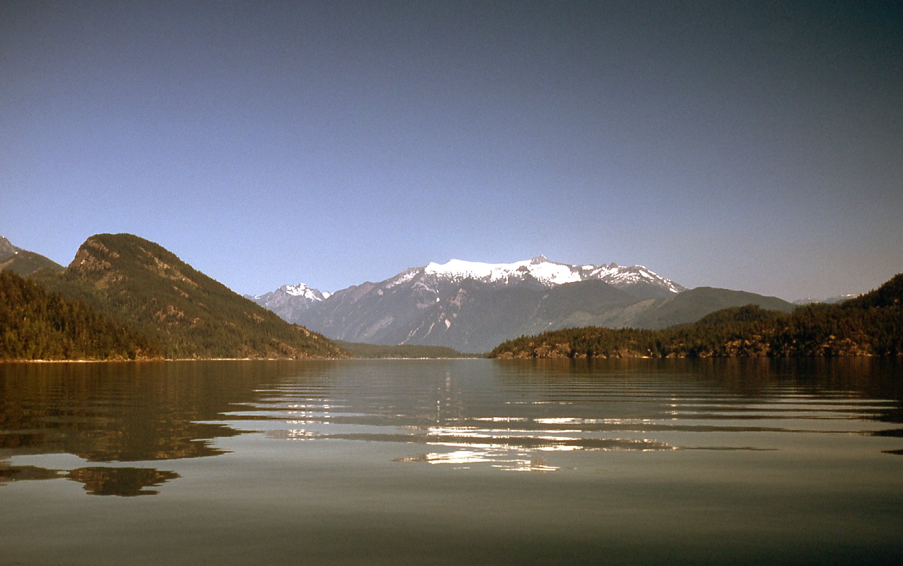
North to Breakenridge
As we continued, we passed something called Long Island. This was an important spot we’d visit on the way back.
Looking west to Long Island
The next spot we visited was a logging camp known as Bear Creek. In 1974, this place was a going concern.
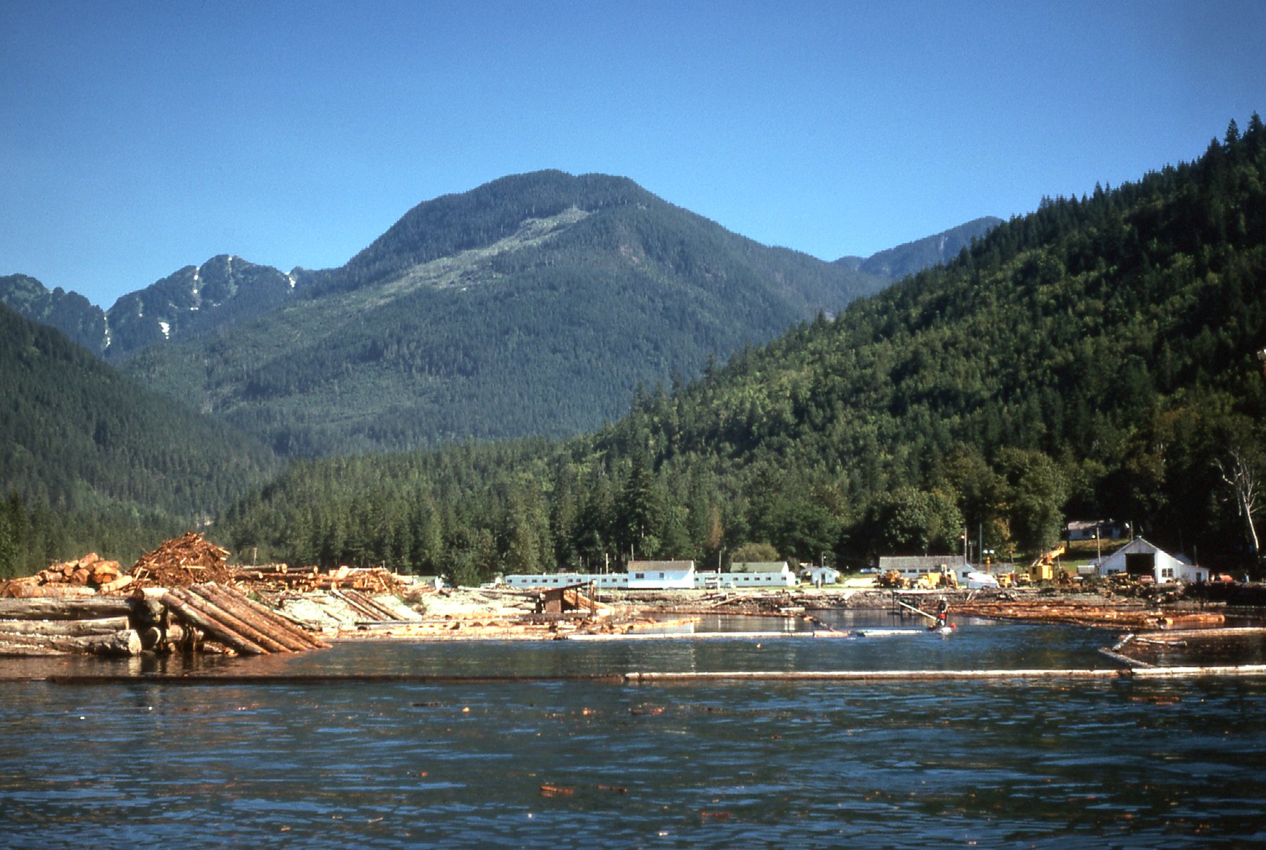
Bear Creek
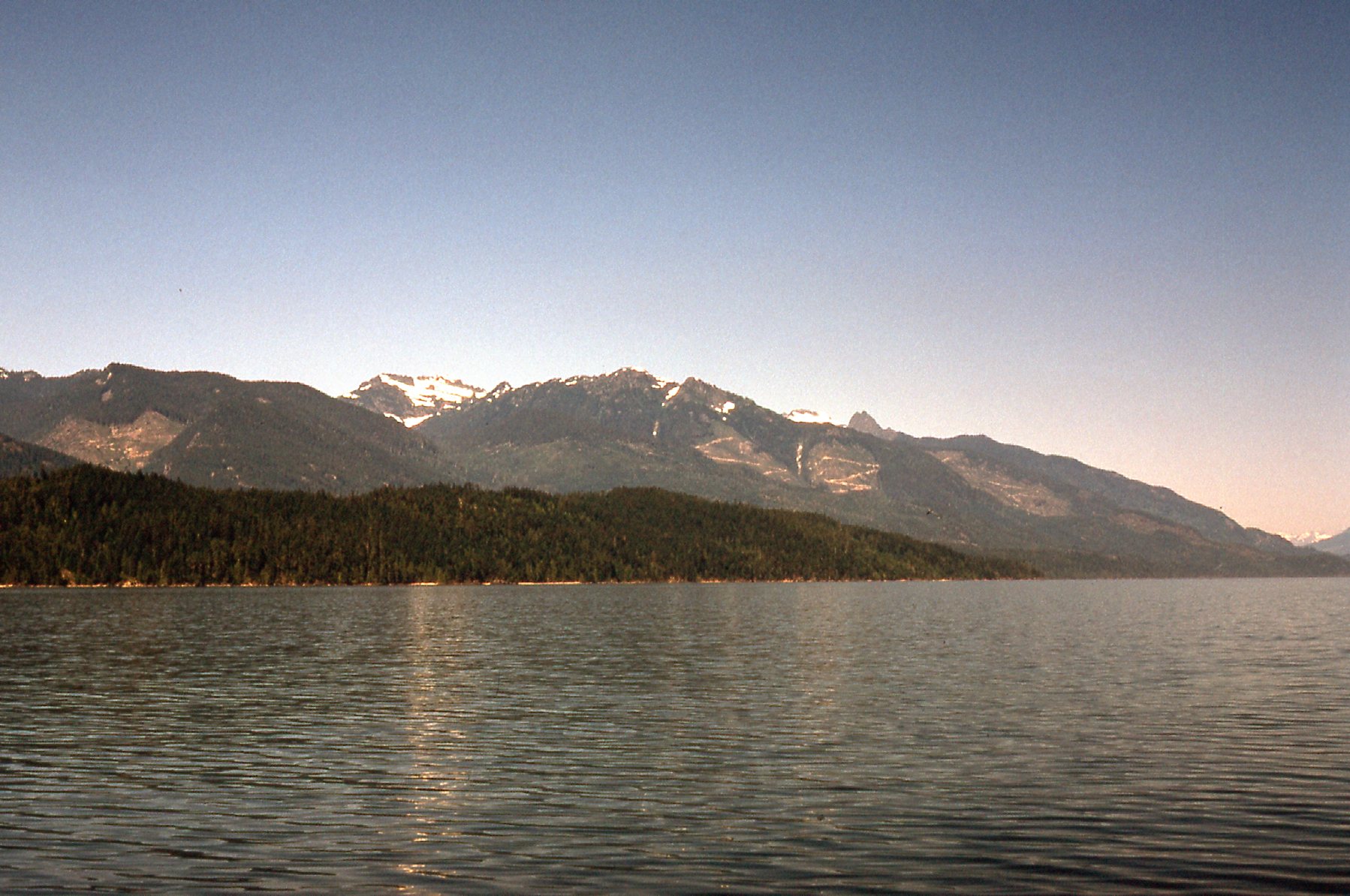
Here was a look south back down the lake – over top of the dark island, on the far horizon, can be seen the peaks of the Cheam Range.
Looking south down the lake.
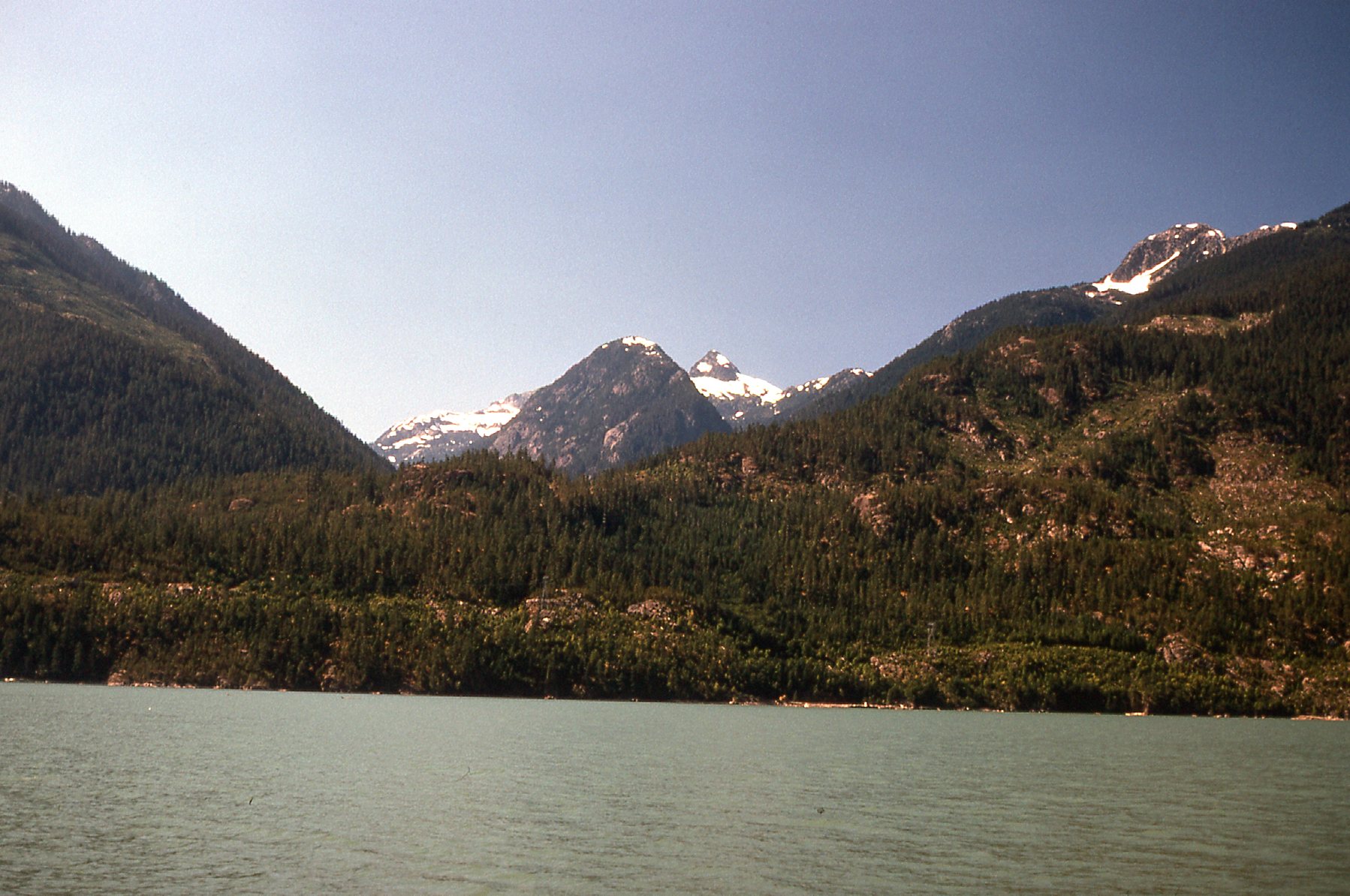
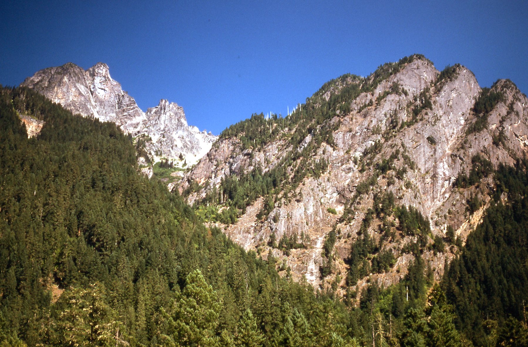
One of the things I most enjoyed about this boat ride were the glimpses I was getting up the side valleys, especially those on the west side of the lake.
Looking west.
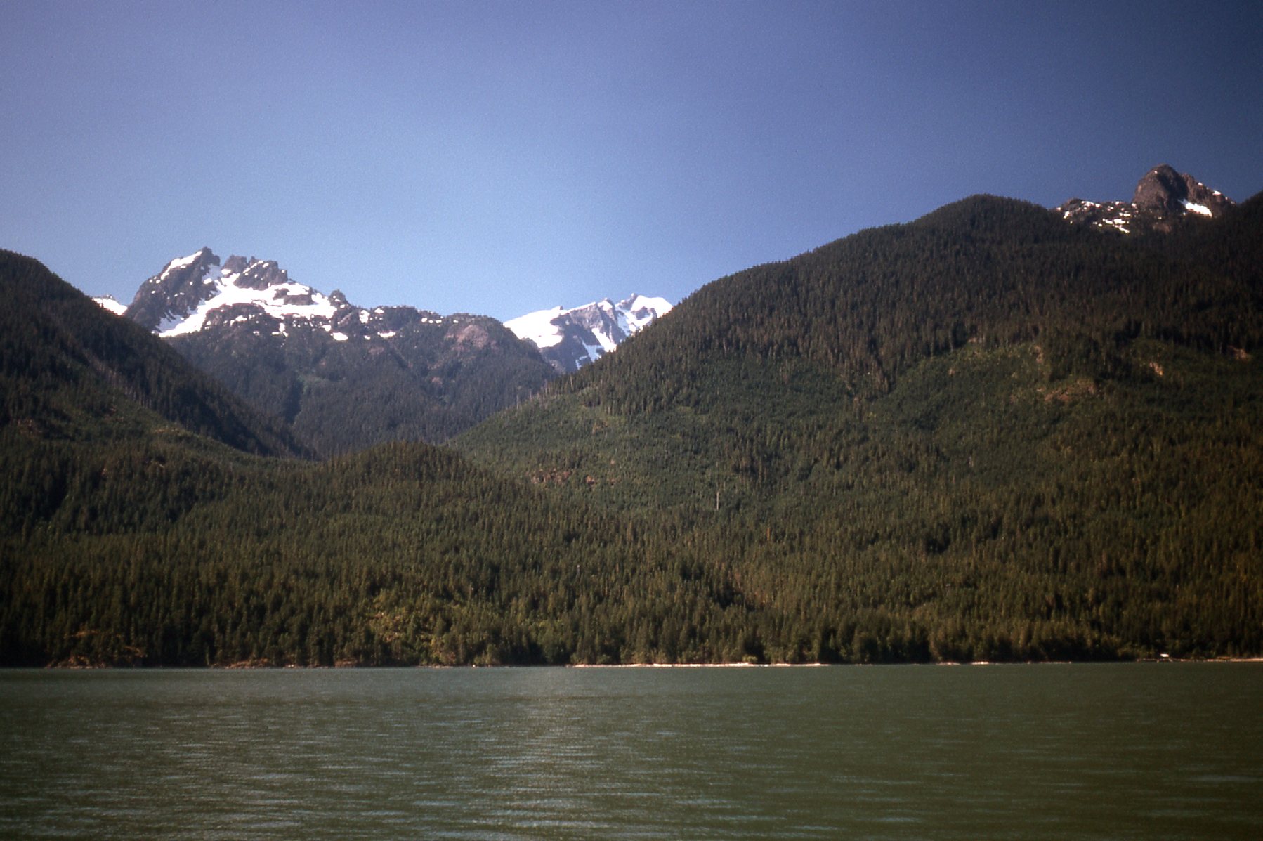
I mean, just look at those peaks hidden way back in there – what were they? Did they have names? Had anyone climbed them? I was mesmerized.
Did they have names?
More amazing stuff.
Slow the boat down, I want a better look! Here was a glimpse up the west slope of Mount Breakenridge on the east side of the lake. You’re looking up a good 7,000 vertical feet to the snow.
The west side of Mount Breakenridge
Just a bit farther north, we had these views of Mount Douglas which was also on the east side of the lake.
Looking northeast to Mount Douglas
Looking east to Mount Douglas
Eventually, we reached the northern end of the lake, where sat the remnants of a ghost town called Port Douglas. It was named after Sir James Douglas, the first governor of the Colony of B.C., and in its heyday, from 1858 to 1860, it served as an important stopping point on the route to the goldfields in the interior of British Columbia. Its population peaked at somewhere between 200 and 300, and some of its residents and establishments included the following: 9 packing and merchandising companies; 3 hotels, one of which had a saloon; 1 restaurant; 1 trader; 1 general store; 1 toll collector; 1 wheel and wagon maker; a constable; a blacksmith; a magistrate; a postmaster; a courthouse, and an Anglican church. When I was there in 1974, there wasn’t much left to see. Here was what was left of one of the hotels.
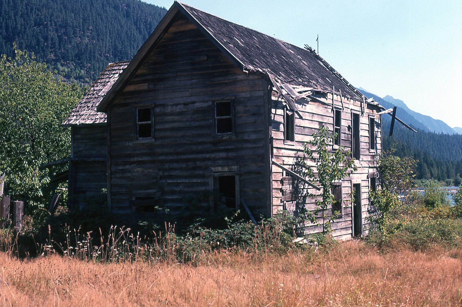
The old hotel.
This monument stood near the boat dock.
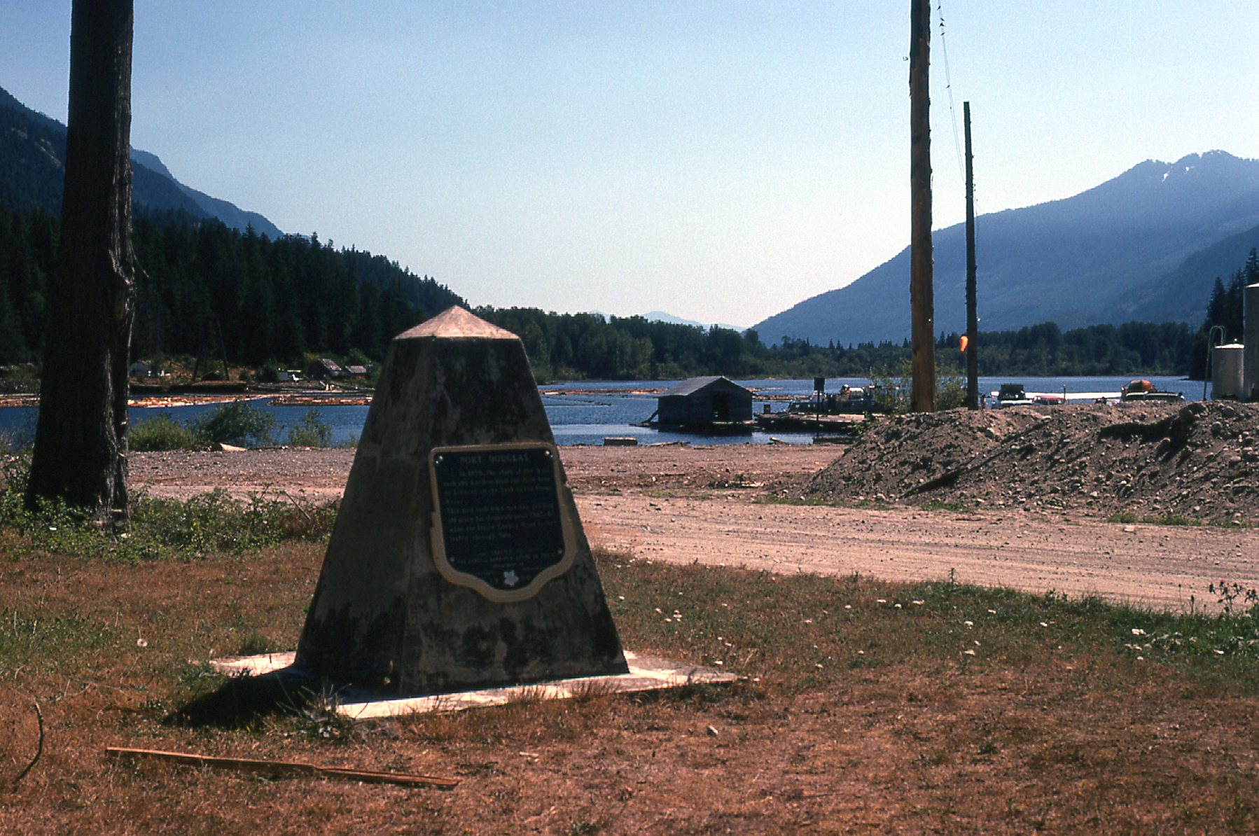
The monument

The plaque that sat on the monument
The captain let us look around a bit, but before long he blew the boat whistle, a signal for us to get back on board. As we started south down the lake, I had this tantalizing view west into the Terrarosa Peak area. Little did I know that my future would involve climbing up that way.
View from the top of the lake.
Another camp we passed, on the west side and near the top of the lake, was Spring Creek.
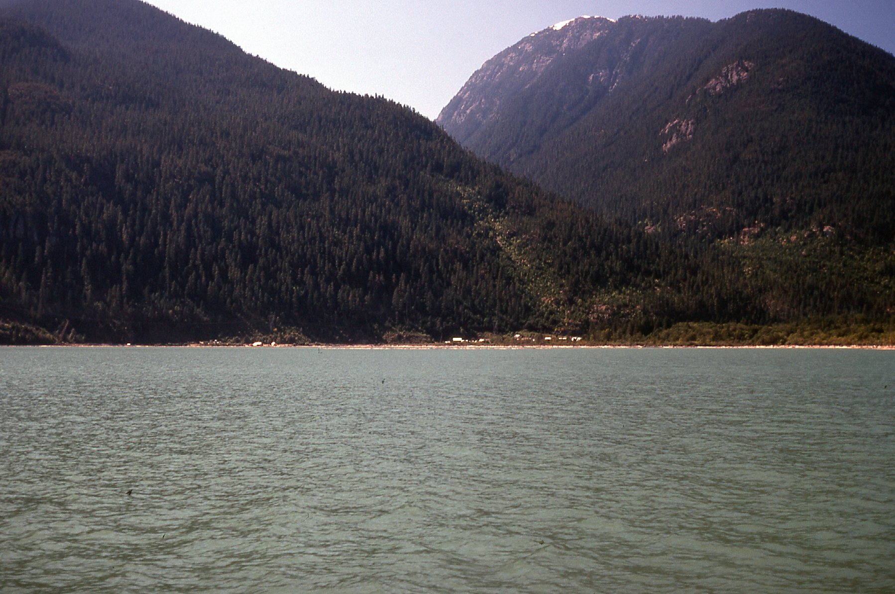
Spring Creek Camp
The miles passed, and about half-way down the lake we reached Long Island. At its northern end on its west side, the captain pulled in close to the rocky shore so we could get a quick glimpse of some pictographs left long ago by First Nations people.
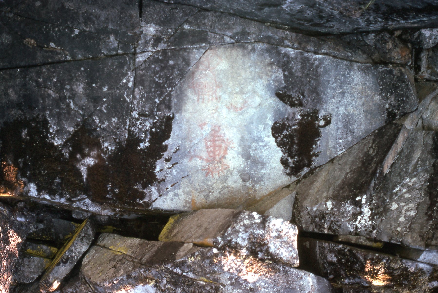
Long Island pictographs
When we docked at Harrison Hot Springs, I told the captain that I looked forward to future rides on his boat. He said I’d be welcome anytime.
As luck would have it, the following August saw me back. On the 8th, Captain Reid took me nearly all the way up the lake and dropped me off on the east side at the site of an old logging camp known as Stokke Creek. There was an excellent dock which allowed me to disembark easily. I told him not to look for me for a return trip down the lake, as it was my plan to head up into the high country to climb Mount Breakenridge, then exit on the east side away from the lake and make my way back out via logging roads and back that way to Harrison Hot Springs. He said okay, but seemed a bit concerned about this skinny 27-year-old guy with a big pack heading out alone into remote country. My climb went about as well as could be expected, given the bushwhacking and rainy weather, but was successful. You can read about it here.
Now that I had tested the system, so to speak, I realized that the boat could be a very useful tool. The following year, I had hatched another even-more-audacious plan. This time, I wanted company, and I was lucky enough to have my friend Mike Ryan as a companion – we both lived in the small town of Mission and he was excited to have an adventure. On June 5th of 1976, Captain Reid took us up the lake and dropped us off at Spring Creek camp. Once again, I told him not to look for us for a return trip, as we’d be heading west all the way up Sloquet Creek, over a divide, and down into the Stave River drainage to finally emerge at the logging camp at the head of Stave Lake, where we hoped to catch a boat ride back south to civilization. The Breakenridge trip the year before took 3 days – this one would eat up 5. It too was successful, and you can read about it here.
The following year, on July 23rd, Brian Rundle and I hired a Cessna 172 and a pilot and flew over a vast wilderness, the central and northern Lillooet Range, where we made 2 food drops. Three days later, we caught a ride on the Redonda with Ed Reid most of the way up the lake. He dropped us off at Stokke Creek at the excellent dock where he had left me 2 years earlier for my climb of Breakenridge. We walked through the camp, not speaking to anyone (it didn’t appear that anyone even noticed us) and then vanished into the hinterland. It wasn’t until our 8th day that the boat picked us up once again at the dock. While we waited, we climbed down the ladder at the side of the dock and took a dip in the cold lake waters. I mentioned at the start of this piece that I rarely ever swam, at least willingly, but this was that unusual time. It served 2 purposes: to cool off on that hot day, and to wash off a week’s worth of sweat and grime – we belonged legitimately to the great unwashed. The climbing we did on that trip was truly epic, and you can read about it here.
Almost 7 months passed. It was the dead of winter, and time for perhaps the most outrageous bit of climbing yet involving the boat. The captain dropped Ross Lillie and myself off at the dock at a spot known as Maple Bay, or Five-Mile Bay. It was February 17th of 1978. This was near the top end of the lake, on the west side, and the land was deep in snow. Minutes after leaving us there, he disappeared around a corner. There we stood in the profound silence of that Friday noon. What followed were 5 challenging days of winter climbing to bag a remote, unclimbed peak. It was on a Tuesday when the captain picked us up at the same dock and took us back to civilization. That trip was truly unique, and you’ll find the whole story here:
Not all of the climbing I did in the vicinity of Harrison Lake involved using the boat. There were other times when I drove myself to spots along either side of the lake for a day climb and parked. If it were a longer trip, I sometimes enlisted the help of others. There was a rough road that went all the way up the west side of the lake, following a power line. In June of 1978, friends took me all the way up to Tretheway Creek and dropped me off. Four days later, after climbing a number of peaks, I emerged back on to the road and hitched a ride back south to the highway.
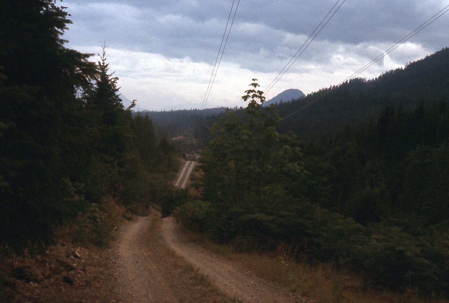
The road up the west side of the lake.
You can read about that trip here:
After having such a good time on that trip, I just couldn’t stay away. Twelve days later, the 21st of July saw me riding with Captain Reid once again. He dropped me at the dock at Maple Bay, the same spot he’d left Ross and me back in February. I told him not to look for me for the trip back home as I was unsure how long I’d take. I set out with full pack for what would be a three-day blitz of all of the peaks along the west side of Tretheway Creek. The boat only ran on Friday and Tuesday, and because I finished on a Sunday I had to hitch a ride when I got back out to the road. The first vehicle along kindly gave me a ride all the way out. Here’s the story of that trip:
Much has changed over the intervening years. They say the road up the west side of the lake is much improved. Apparently the old road up Tretheway Creek, which I used to advantage those 3 times in 1978, is so overgrown it’s not even an option for foot access any more. In fact, access to Robertson Peak became such a problem that it never saw its second ascent until 26 years after Ross and I climbed it. Some of those logging camps I visited in the 1970s don’t even exist any more, with all signs having been removed. Nearly all traces of Port Douglas townsite are gone. Several small hydroelectric generating stations have been built along both east and west shores. I’m sure that much of what I knew along the lake is gone forever. I learned that Captain Ed Reid passed away on April 18th of 2011 – I was saddened to hear that. He was always kind to me and was instrumental in making possible some of my best climbing.