
It was a pretty ordinary day, a sunny and warm May the 14th of 1977, when I first made the acquaintance of one Brian Rundle. It was innocent enough – I had my thumb out, hitchhiking, when he and his friends stopped to pick me up. Within minutes, there was an obvious chemistry between me and Brian, as well as his friends Ross and Sonja Lillie. We were kindred spirits, all climbers, out doing what we loved most. In the hour I rode with them that day, friendships were cemented that are still strong to this day. When they dropped me off along the west bank of the Skagit River, we had already made plans to climb together soon. Brian and the others went down to the border to attempt a climb on Mount Hozameen – for some reason, it didn’t pan out. No matter, Brian and I were climbing something a mere 5 days later. A flurry of climbs soon followed that one, in both Canada and the US, and we got into a good rhythm.
December arrived, and although we were deep in winter, we decided to undertake something pretty bold – nothing less than a winter climb on Hozameen. Here’s the thing about Mount Hozameen, though. The peak is in the US, about a mile south of the border with Canada. It’s actually several peaks, but all of the summits are in the States. The highest peak in the group is the northernmost one, elevation 8,066 feet, and is best approached from Canada. You can also approach some of the routes from the Hozameen campground, which lies on the east shore of the lake and a mile south of the border. Funny thing is that you can only drive to the campground from Canada, but if you have a boat you can get to the campground that way, from Canada or the States.
The lake and the Skagit River which enters it from the north are at 1,600 feet elevation, so the high peak is a 6,400-vertical-foot climb no matter how you approach it. We had heard of something called the Skyline Trail, which supposedly started from the Skagit River, then climbed east up to a ridge at around 6,350 feet. We figured that we’d go that way, up to the ridge, then just head south along the ridge and cross the border into the US and climb the peak. No big deal, right?
On December 16th, Brian showed up at my home. He lived about 50 miles from me, and I think he either hitchhiked or took the bus. That night was spent at my home, and we got everything ready for the climb. We left the next morning at 5:00 AM and drove the 50 miles to Hope, then started south down the Silver-Skagit road. The farther we went, the more snow there was on the road, so that by the time we’d covered the 35-odd miles to our starting point, it was the better part of a foot deep. Hmm, the Volvo wasn’t made for that, so it all seemed a bit iffy.
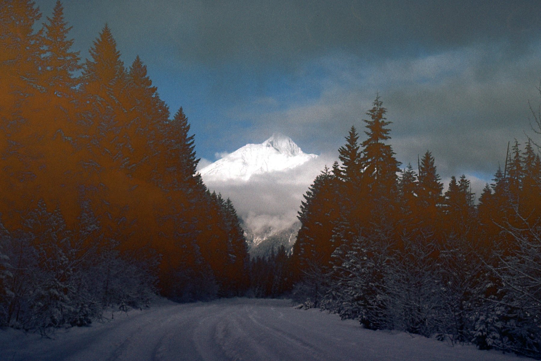
A look back north to Silvertip Mountain from near where we parked.
Finally, by 9:00 AM we started out up the Skyline Trail. There wasn’t too much snow down low where we started, but enough that we donned our snowshoes. We were using Sherpas, a lightweight snowshoe that was popular with climbers One thing we both felt about the trail was that it gained elevation awfully slowly, in long, gentle switchbacks. So gently did it rise that we decided it had been built to accommodate grandmothers in wheelchairs. The higher we went, the deeper the snow became. Seven hours we slogged up that trail, but even then we had only attained 4,800 feet elevation by nightfall. That wasn’t too bad a day, though, as we had climbed 3,200 vertical feet with full packs. We stomped out a place in the deep powder snow and pitched Brian’s 2-man tent. The weather was clear and crisp, 10 degrees F. or -12 degrees C.
The next morning, we awoke to cloudy skies. By the time we were ready to go, it was 7:30 AM. We left the tent standing where it was – it was unlikely anyone would come by, and even if they did it was unlikely they’d mess with it. There was a pretty strong ethic back then among climbers, a respect for other people’s stuff. We’d leave gear sometimes for days before we’d get back to it, and it would be just as and where we’d left it. It was cloudy when we set out, but it looked like it was lifting.
Near our camp.
We set out and climbed some steep slopes in deep, dry, soft powder. By the time we reached the ridge at around 6,300 feet, it became obvious that Hozameen was a pipe dream. In the deep snow conditions we were experiencing, it’d take a lot more time to cover the miles south to it, and who knows what condition the mountain would be in when we got there. So, it was decision time. What else could we do? Well, we could just turn around and head downhill back to the tent and go home, or ……… There was a peak to the north of us, much closer, enough so that it seemed within reach. Here’s a glimpse we had through clearing weather south towards Hozameen.
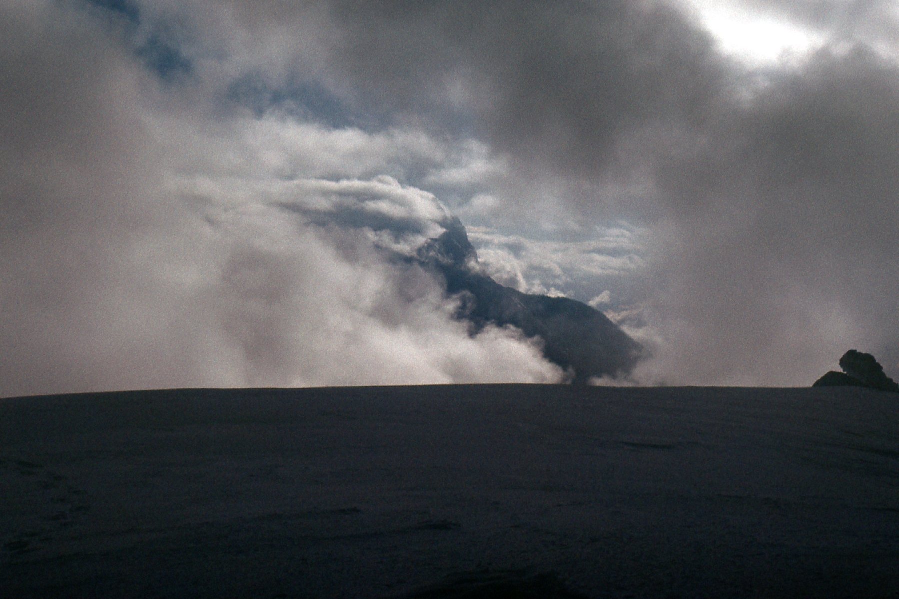
Looking south.
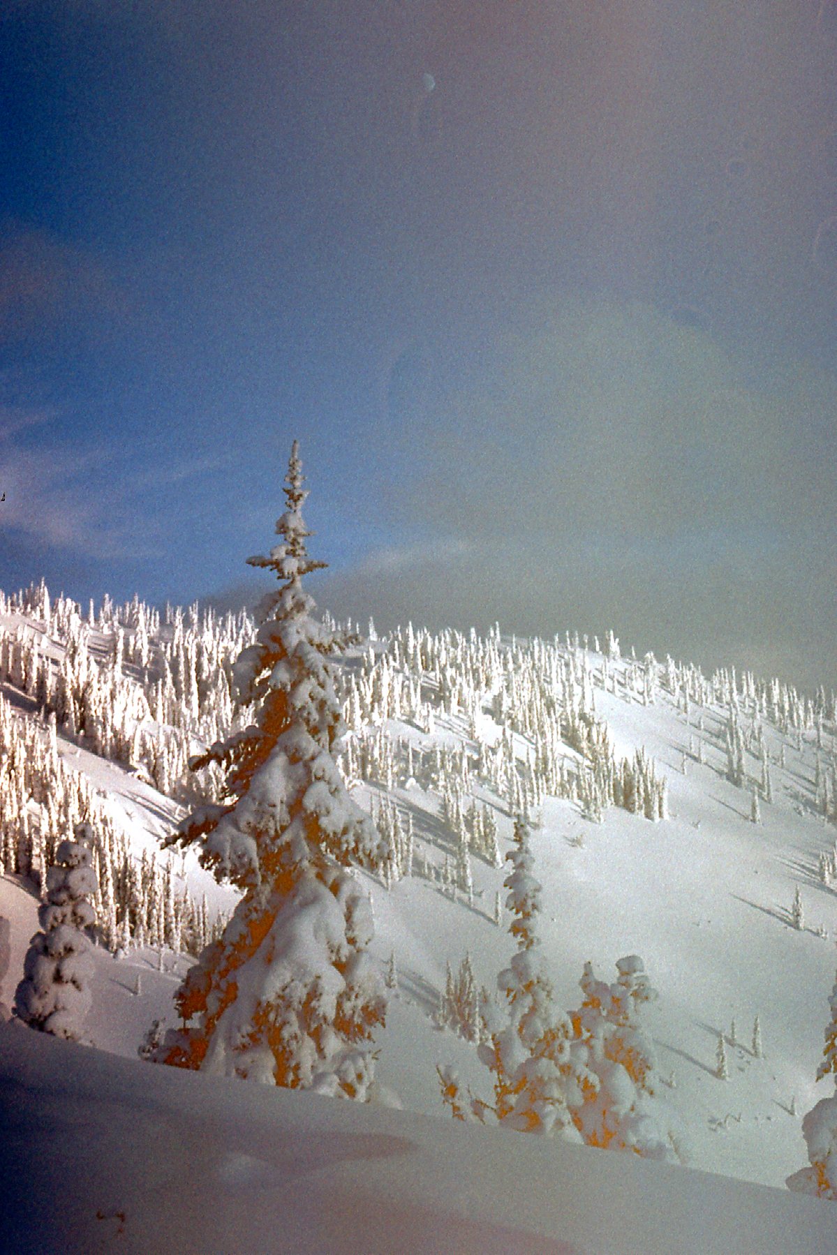
You wanna talk about snow – man, we had snow! It was everywhere, so deep. But beautiful. It was truly a winter wonderland. The trees were decorated, almost frosted, as if an artist had come and done them up just for us.
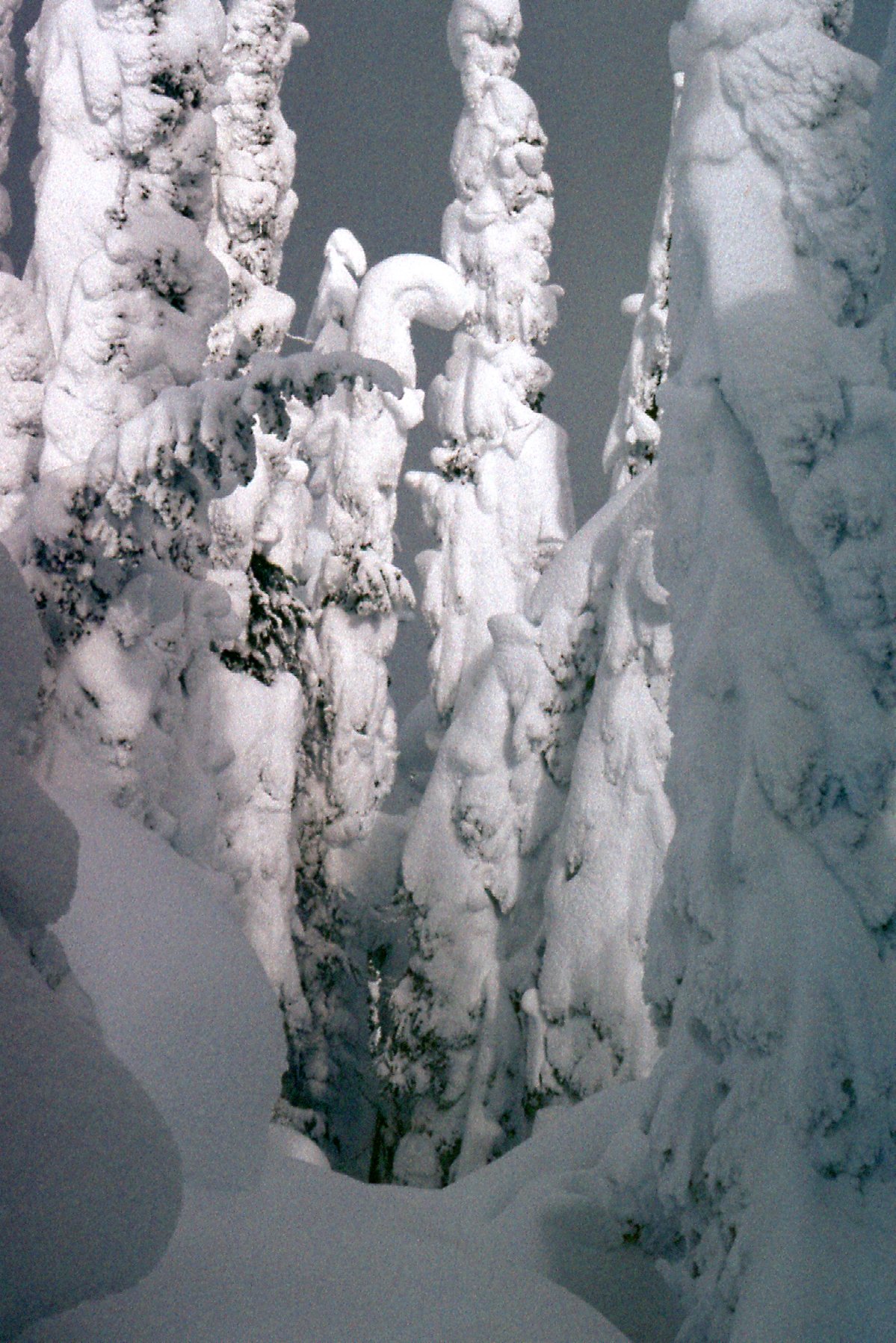
Snow
There was no telling how deep it was, certainly several feet, and forward progress would have been almost impossible without our snowshoes.
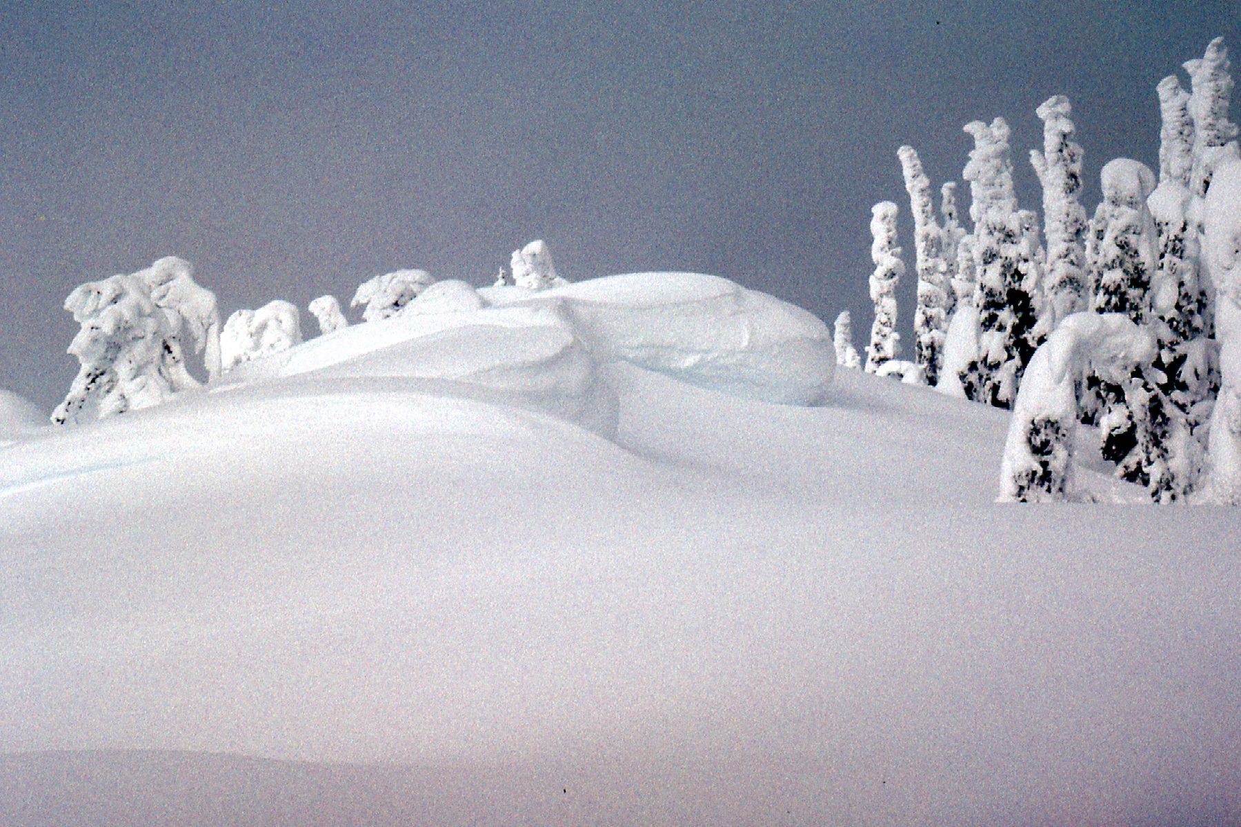
Deep snow.
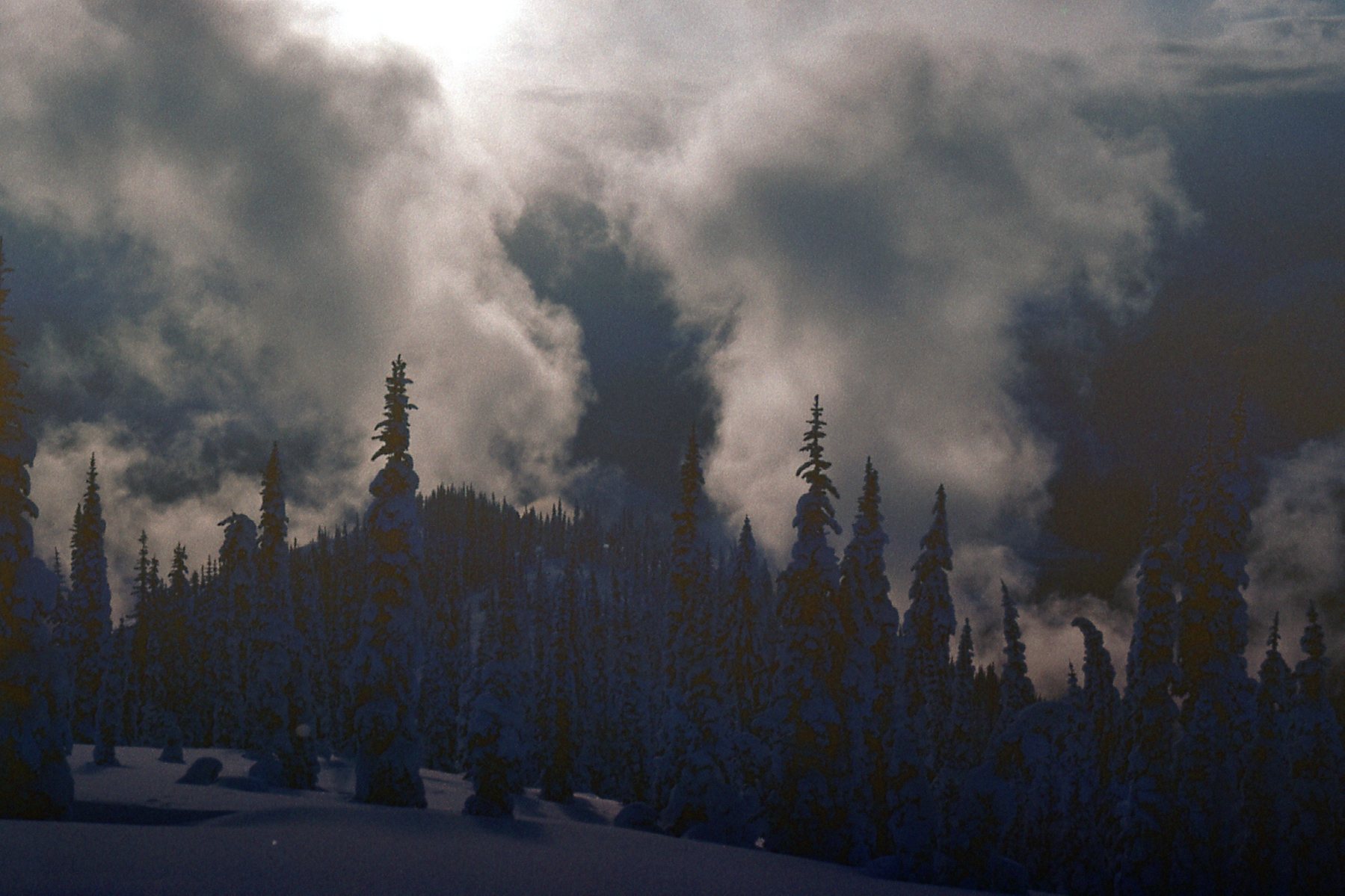
The clouds were trying to break up.
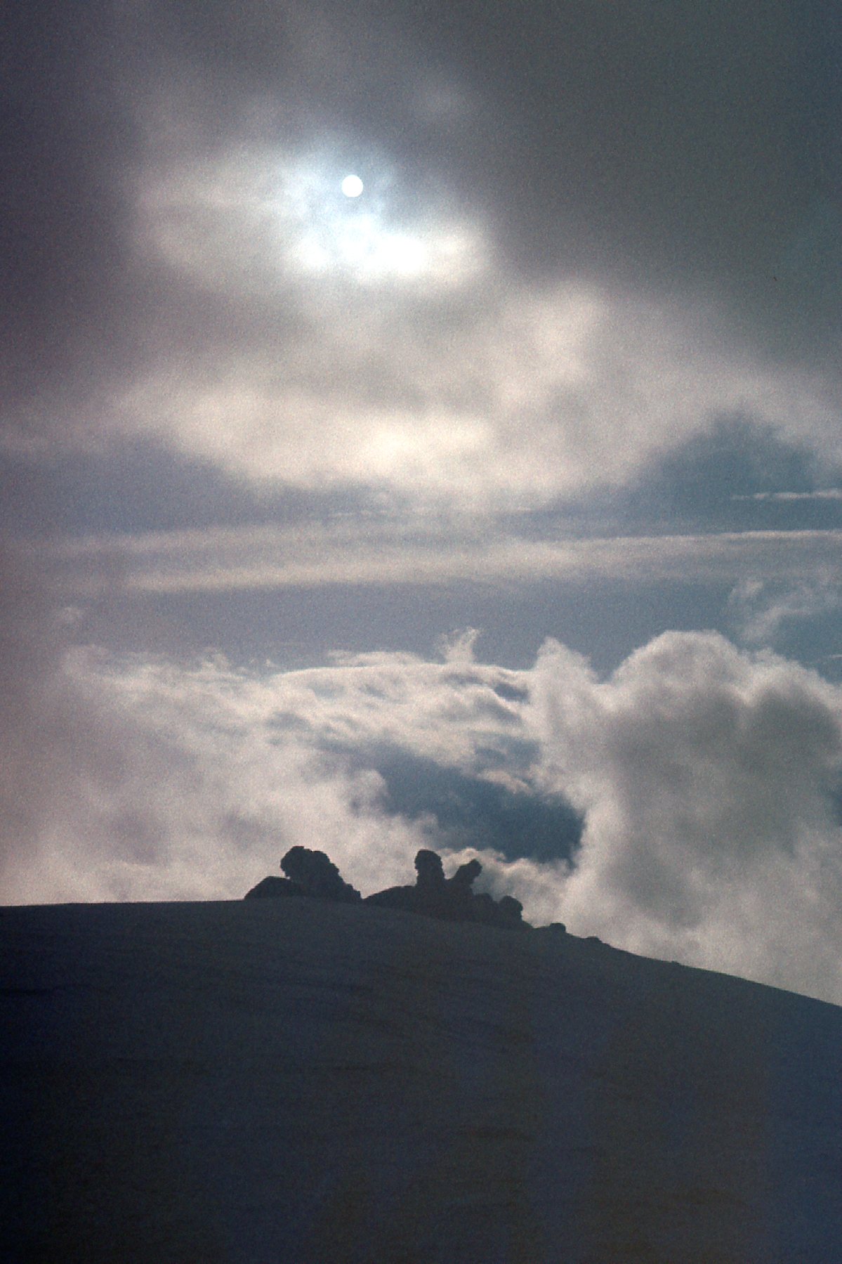
Clearing weather.
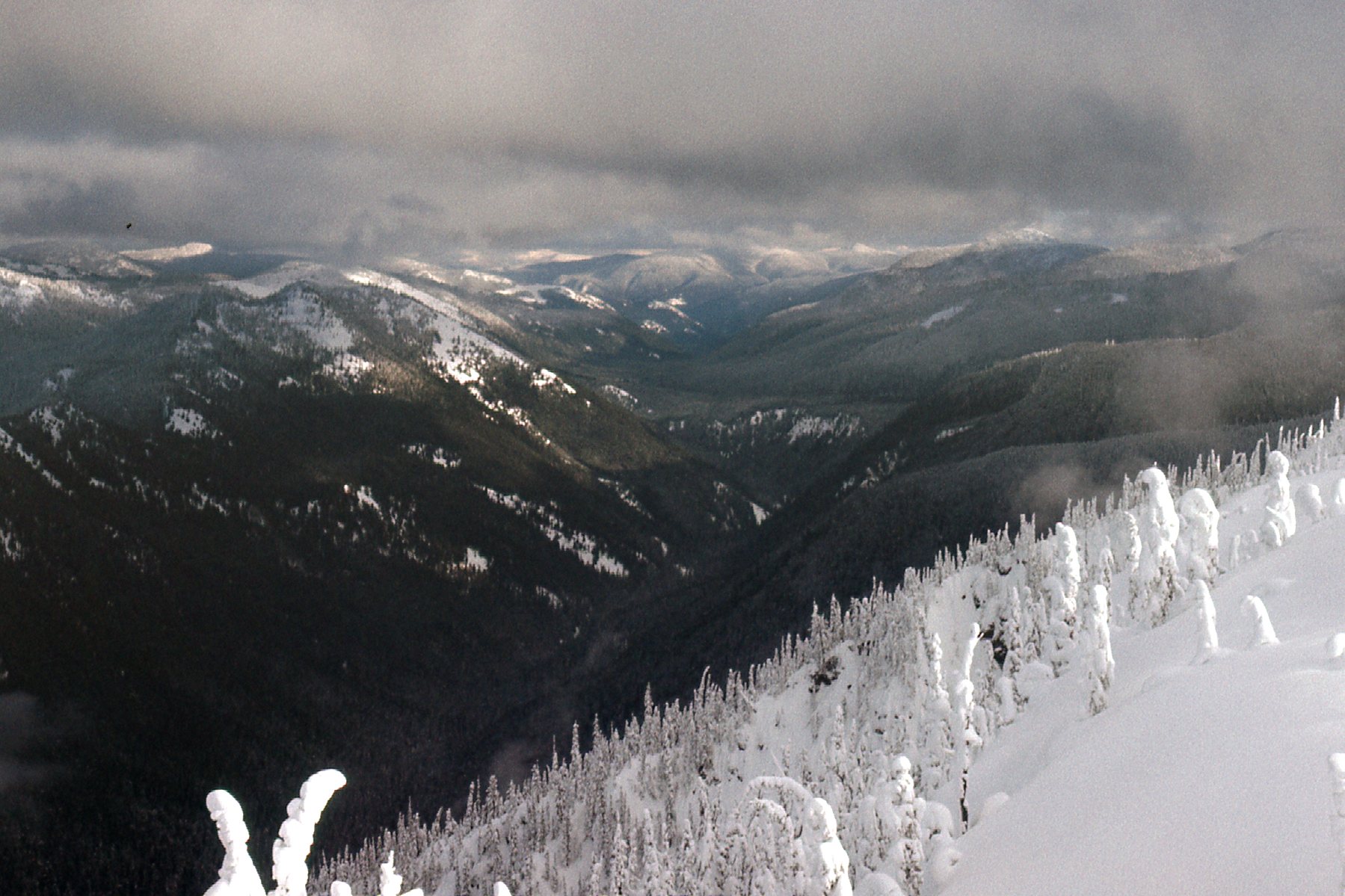
As we continued up the ridge, we had this view back south from where we’d come. Somewhere out there is where the Skyline Trail ran across the ridge, but all trace of it was lost in the wilderness of snow.
Looking back down the ridge towards the trail.
The ridge wasn’t straight, but rather was somewhat sinuous. Also, there were some sizable bumps to cross over, causing us to lose elevation in a few places and then regain it, and of course repeating the process later when we returned. Here was a view we had down Poland Creek as we continued our climb.
A look towards Poland Creek
Did I mention the wind? It was blowing hard the whole time as we climbed. After a while, we could see over to our summit – it was called Nepopekum Mountain.
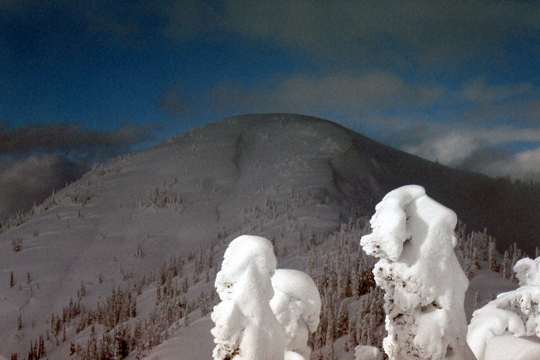
Looking north to Nepopekum Mountain
In this next photo, we can see back along the ridge we’d traveled – that’s it in the left half of the picture. As you can see, it isn’t straight, and there are bumps. Over on the right is Hozameen, lost in the clouds.
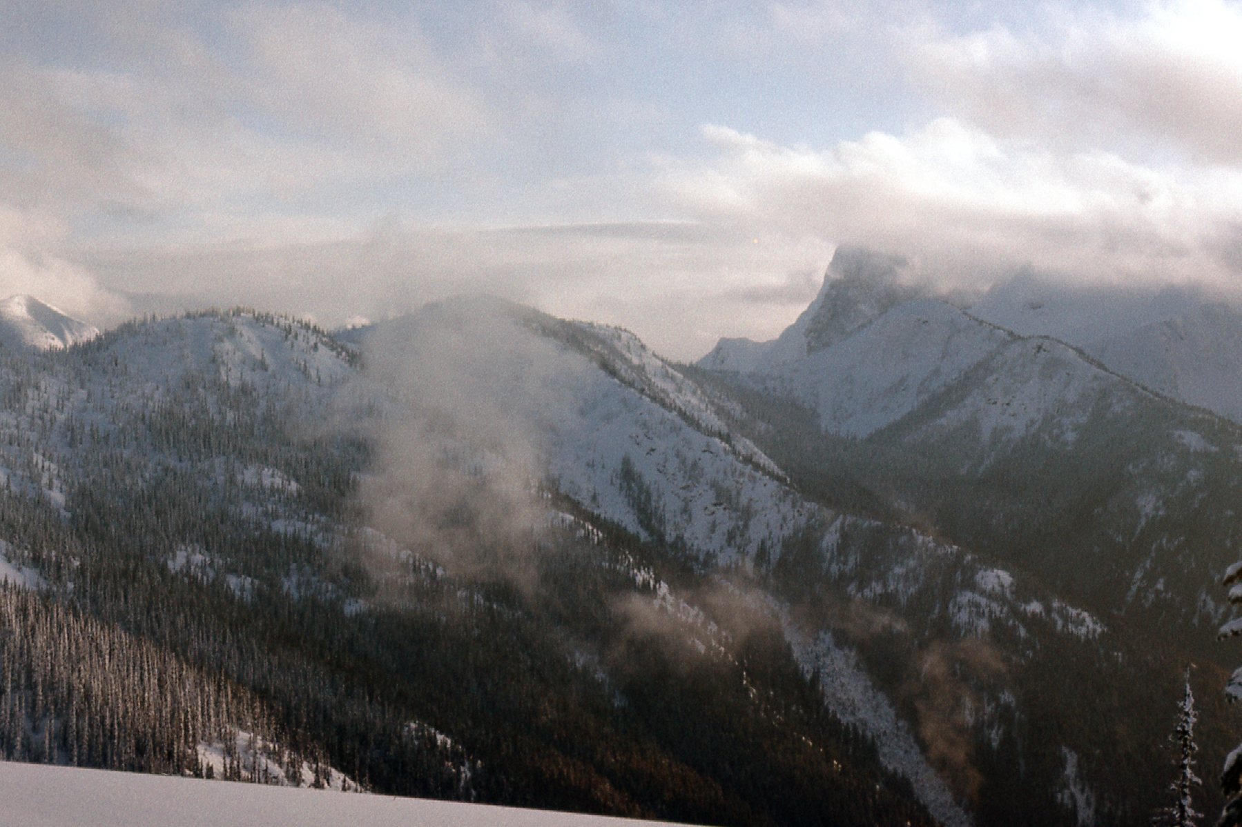
A look back along our ridge.
This next one might be my favorite photo of the trip. You can see our snowshoe track as we neared the summit. It’s a single track, as we took turns breaking trail in order to conserve energy.
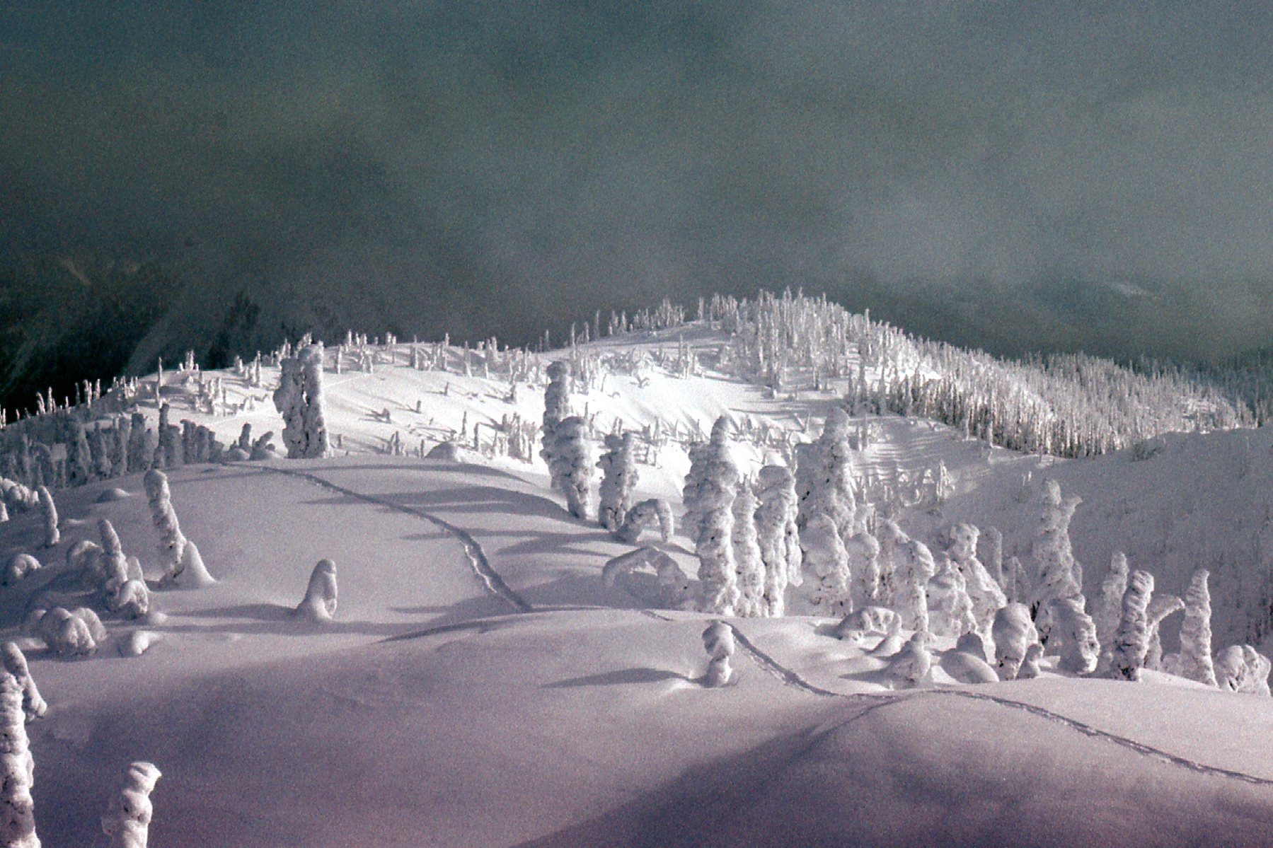
Our track.
At one o’clock we reached the summit of Nepopekum Mountain, elevation 6,348 feet. I haven’t been able to come up with a meaning for the name, which sounds like it could be a First-Nations name. The clouds all blew away, leaving us in a dazzling white wonderland with blue skies. We had great views of Hozameen, Silvertip and Redoubt. There was no way to leave a register, so we only spent a short while on the summit before starting down once again. We made much better time on the descent. It was too cold to do much of anything, so we were back in our sleeping bags by 4:30 PM. That’s common practice in the north during winter climbs.
It was a cold night but we slept well. The next day, our third, we broke camp and were on the move by 6:30 AM. Even though it was all downhill on our previously-beaten path, it still took us until 10:00 AM to reach the car. We tossed our gear into the back and cranked up the heat for the 35-mile drive out. The snow on the road was frozen pretty hard, and it was a bit of a nail-biter all the way back to Hope. The crusty snow scraped the underside of the car constantly, and finally the muffler tore completely off. We picked it up and threw it in the back with our gear, then just kept going. At least we were warm and had plenty of good cassette tapes to play on the drive out. Things could have been worse. People have become stuck in the snow on that Silver-Skagit road and froze to death – it happened to 2 members of a family in early 1971. If the snow’s too deep, they don’t plow it and you just need to let it melt.
We made it out okay. I dropped Brian off in the town of Abbotsford, where he caught a bus back home, and I returned to Mission. All in all, things had gone pretty well for us. Hozameen was definitely out of our league that time, but we ended up with a nice consolation prize in Nepopekum. Our account of the climb was written up in the Canadian Alpine Journal, Volume 62 1979, Page 29 and we were credited with the likely first winter ascent.