
What a summer it has been! Record-breaking heat month after month, almost no rain, until finally, in November, summer came to an end and things cooled off. Only then did I feel comfortable heading back out into the hills, so I sat down and made my plans.
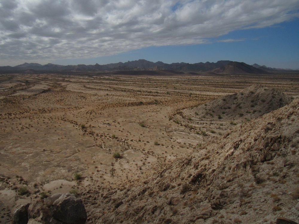
My favorite part of Arizona is its southwest corner, a vast and empty land made up of military bombing ranges and protected wildlife refuges. It is a stark region of rugged mountain ranges interspersed with harsh deserts – there’s no fun to be had there in the summer when the temperature can routinely surpass 110 degrees F. and one wrong move can be the death of you. The time to go explore is in the cool of our winter, and that’s exactly what I did.
Three named deserts comprise that far corner of the state. The westernmost is the Yuma Desert, which lies to the west of two mountain ranges: the Gila Mountains and the Tinajas Altas Mountains. To the east of those ranges sits the Lechuguilla Desert. Finally, sitting between the Cabeza Prieta Mountains on the west and the Sierra Pinta to the east, we find the Tule Desert, which is where I decided to go and play in early November.
As you can plainly see from the preceding paragraph, Spanish names abound in this area – this makes perfect sense, as it was once part of Mexico. I love chasing down the meaning of those names, but the word “Tule” threw me for a loop. Even using the best of dictionaries, I could only come up with one meaning for it. It is a Spanish word, derived from the now-extinct Classical Nahuatl language, and it means a type of large, freshwater sedge, like a bullrush. That’s a puzzler, though, as I cannot think of any spot where you’d possibly find bullrushes growing in the Tule Desert these days – who knows, maybe centuries ago, in spots?
It was on the 6th of November that I set out from my Tucson home, and a few hours of freeway driving took me to the community of Tacna, Arizona. Once there, I started my drive south through what is known as the Barry M. Goldwater Air Force Range. You’ve always needed a permit to enter there, but it’s a lot easier these days as you can do it all on-line from your phone or computer and then just print it out and keep it with you as you travel. As you enter the range, they give you fair warning.
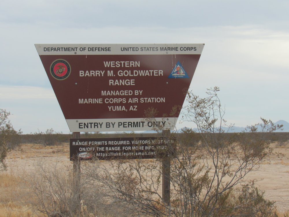
Entering the bombing range
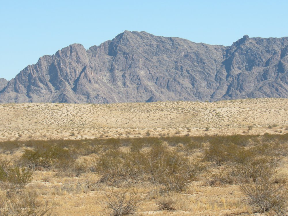
As I headed south, I drove parallel to the Mohawk Sand Dunes, a 22-mile-long stretch of pristine dunes over 200 feet high in places. These dunes host some rare species, and the area is unique and protected. In the next photo, the dunes are the light band seen a mile away in front of the more-distant mountain range.
A drive of 25 miles on an excellent military dirt road takes you to a spot where you leave the bombing range and enter the Cabeza Prieta National Wildlife Refuge.
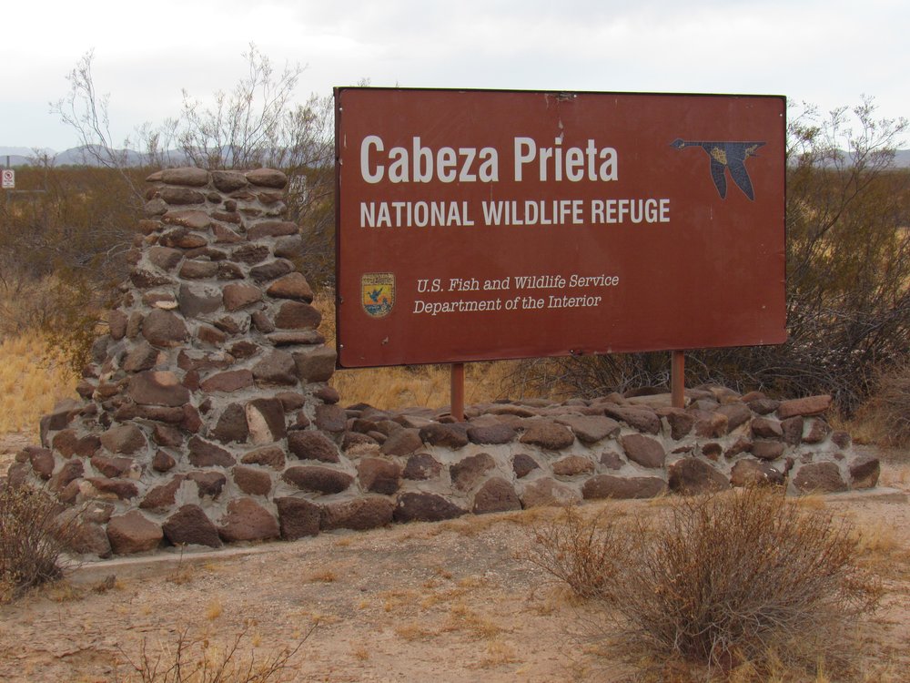
The CPNWR
There’s one final warning given before you enter the refuge.
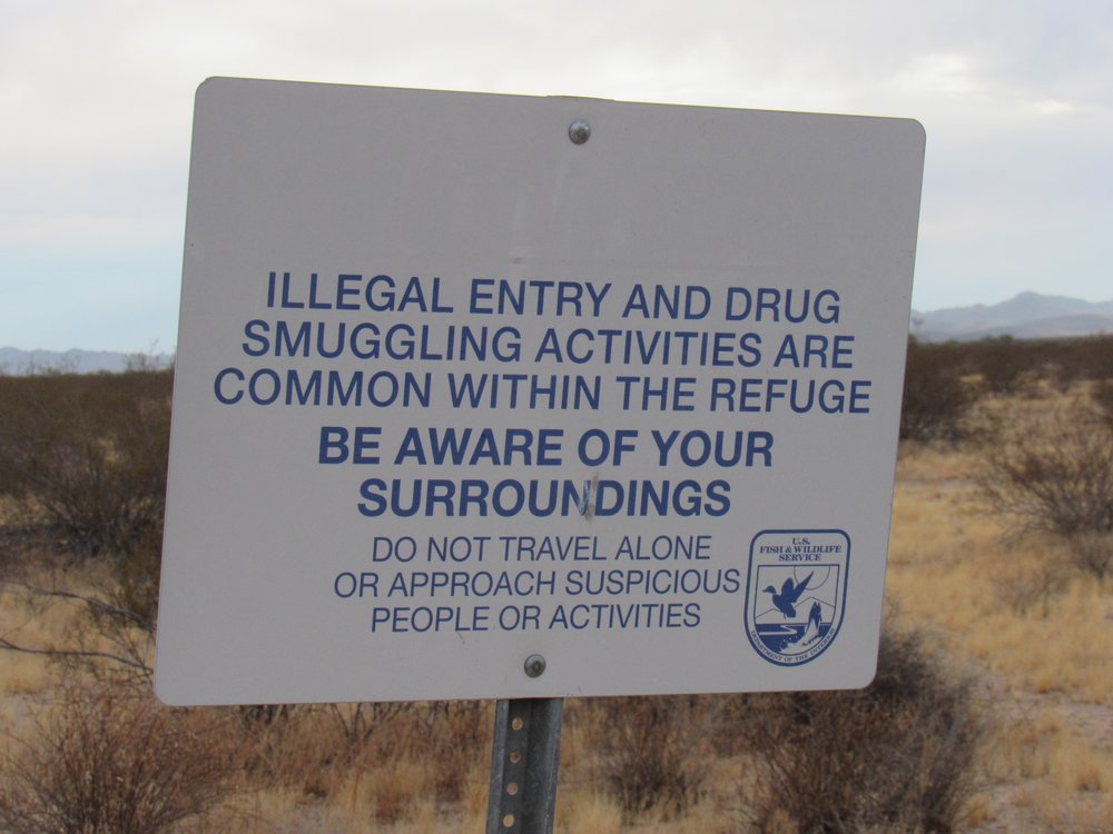
Beware!
As I prepared to enter the refuge, I noticed a vehicle perched atop a small nearby hill. Two men stood there, so I drove over to talk to them. They said they were military who were there manning an observation post to help out the Border Patrol, keeping a lookout for persons or drugs entering the country illegally. I had to chuckle because they both looked so young – I good-naturedly kidded them, saying that they looked the age of my grandsons. They both proudly said that they were 20 years old.
Finding a quiet spot nearby, right at the northern edge of the Sierra Pinta, I heated up a can of beans for supper, then settled in for the night. The desert treated me to a special sunset. If that looks like rain falling out of the clouds, that’s because it is. It’s known as virga, and it never reaches the ground because it evaporates before it gets there.
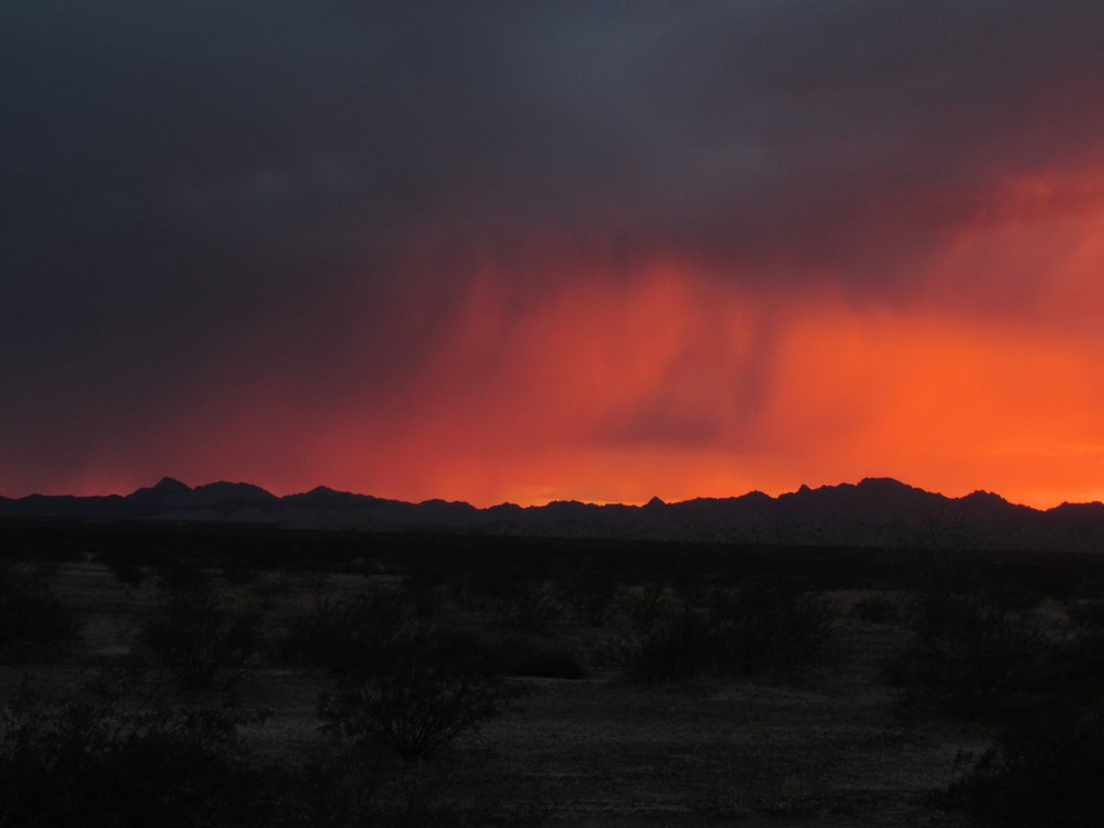
Sunset
Thus ended Day 1. I was now perched at the edge of the Tule Desert and looking forward to having some adventures.
Day 2
Yikes, I slept in! After eating and packing up, I drove south on the same road I’d come in on yesterday – it’s known in those parts as the Tule Well Road. It was only a drive of 2 miles before I parked off on the side. The road here is narrow, one lane wide and in places the sand is so deep you need 4WD to keep going.
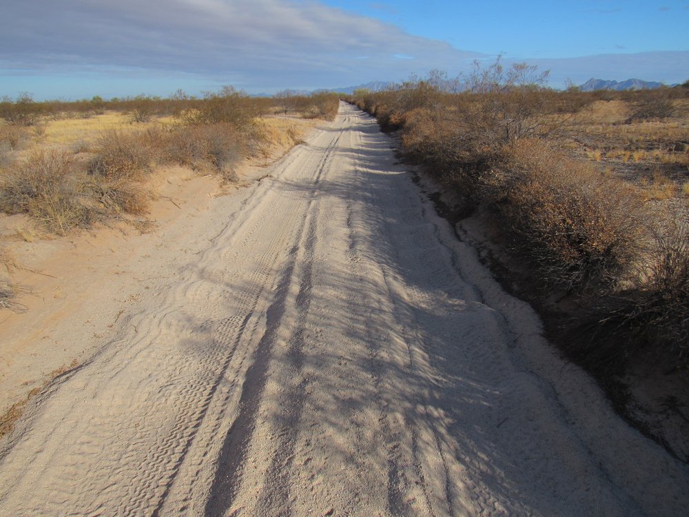
The Tule Well Road
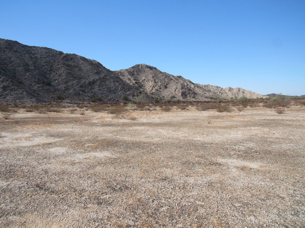
My only goal today was to trek across the desert to something called the Devil Hills. This small group of peaks had long intrigued me, their high point having been climbed by friends as far back as 1994. Nobody had paid them a visit during the last 20 years, so it seemed like a good time that someone did so once again. As I studied the topographic map covering the hills, it occurred to me that there were quite a few distinct “peaklets”, to use a term from climber friend Barbara Lilley that made up the group. These weren’t obvious as I stood beside my truck preparing to set out this fine morning. In the next photo, you can see them out there, illuminated by the sun and sitting by themselves, with the more distant and much higher Cabeza Prieta Mountains behind them in the background on the skyline.
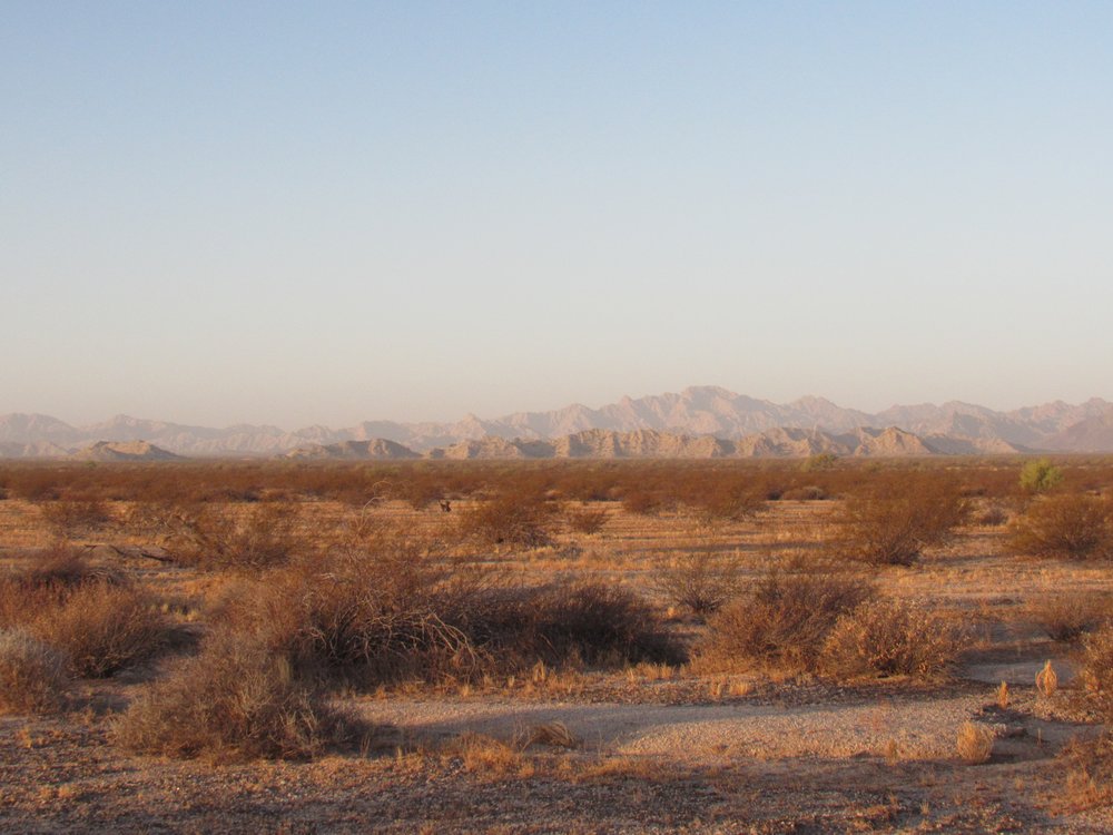
Looking west to the Devil Hills.
Since I’ve slowed down so much in recent years, I knew this was going to be a long day. That was okay though, getting this one done meant enough to me to do whatever it would take. It was 8:18 AM by the time I set out. This part of the Tule Desert was about as flat as anything you could imagine. In fact, it took me an hour and a quarter to reach the first part of the hills, a distance of 1.7 miles, and in so doing I only gained 20 feet in elevation. Here is that first bit that I reached.
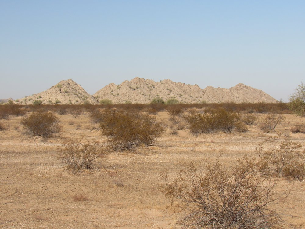
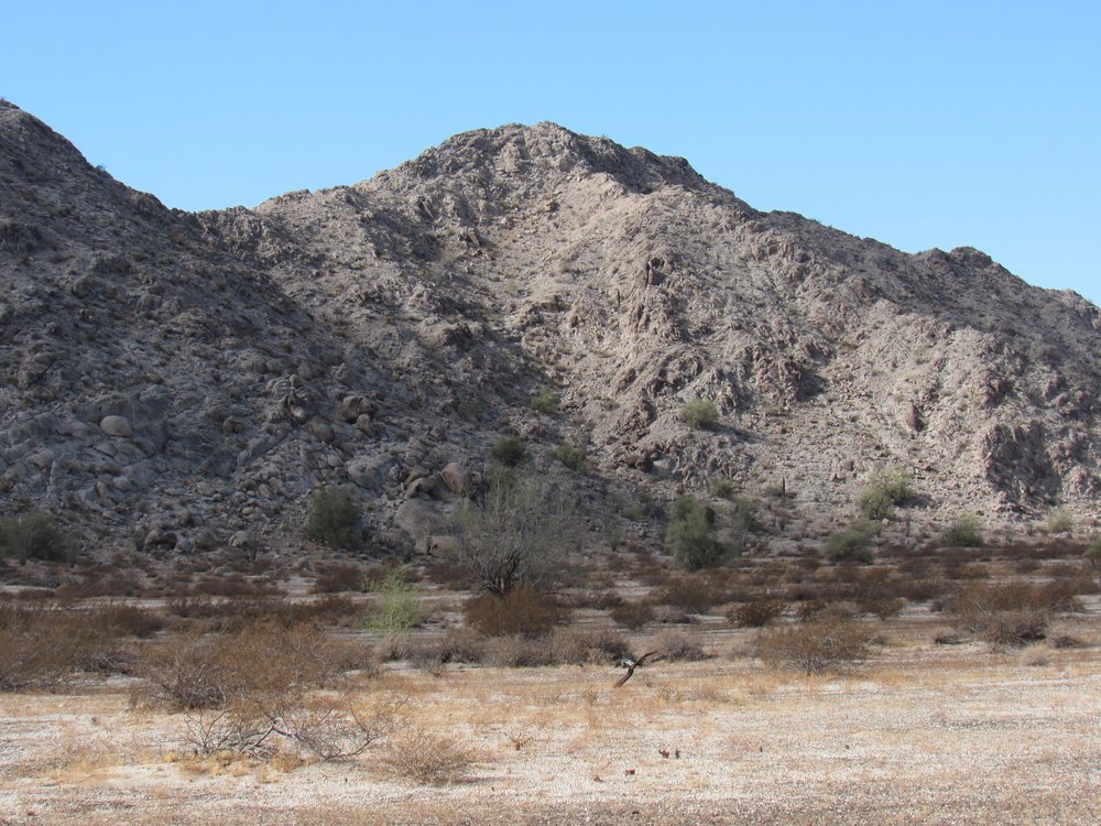
The easternmost part of the Devil Hills
My path took me through a gap in the eastern part of the hills. There, I saw my goal in the distance – more walking to the west gave me this closer view of the high point. By the time I’d reached its base, another hour had passed since I’d left the gap.
Getting closer
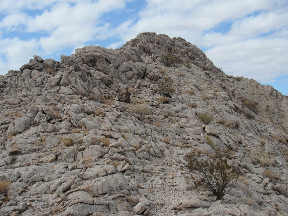
It was just after 10:30 by the time I reached the base of the climb. It looked pretty easy. I’d go up to the left, where the shade meets the sunlight.
Point 1110
Once I reached the ridge, I had this view of the last bit of the climb.
The summit ridge.
I spent a full hour from the desert floor to the summit, arriving at 11:30 AM. – see, I told you I was slow! Here’s what the summit looked like, a pile of decomposing granite boulders.
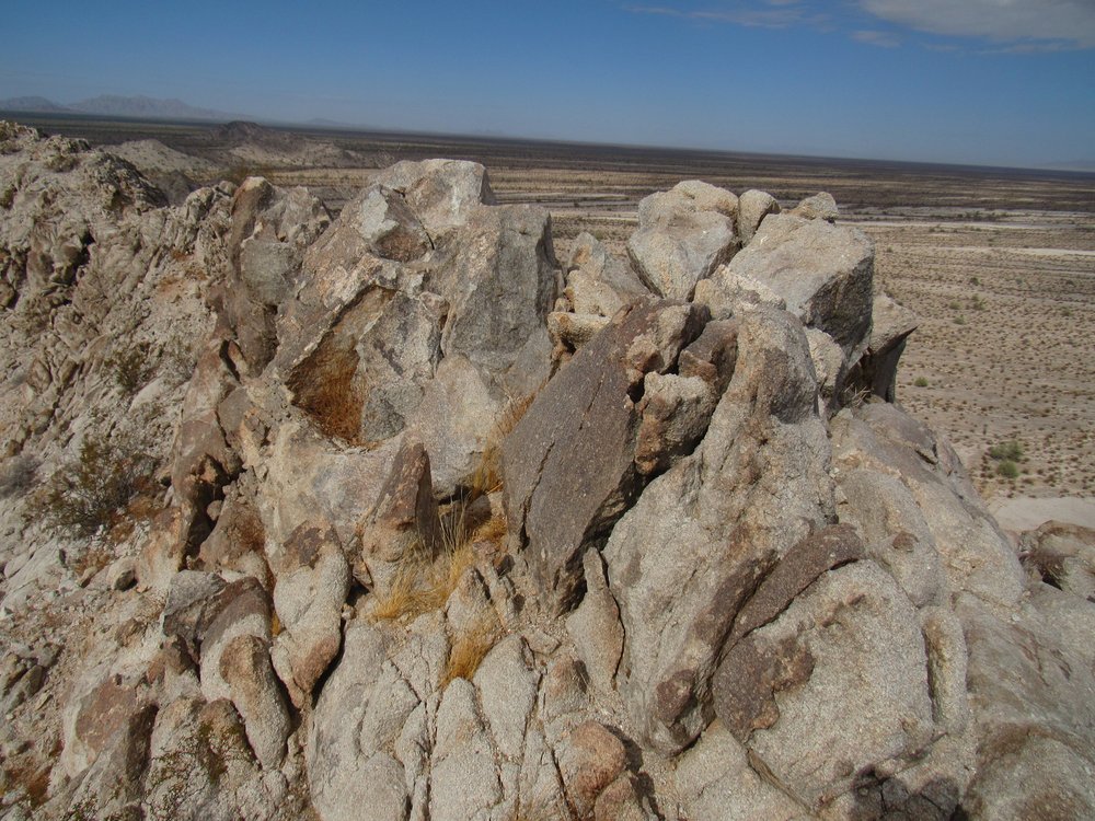
The summit of the Devil Hills
On a whim, I thought I’d try to call home. The nearest cell tower was 25 air miles away at Tacna. I must confess that I was surprised that my call went right through. Dottie told me two things on that call: Alex Trebek, the host of the TV show Jeopardy, had lost his battle with pancreatic cancer. He fought the good fight, one of my heroes, and I was deeply saddened to hear of his passing. The other news was that Joe Biden was to be our next president. What a mixture of emotions – a mingling of tears of sadness and of joy!
After the phone call, I dug around and found the register. It was a glass jar inside painted nesting cans. It contained the names of the 5 others who had preceded me to this spot. Bob Martin had been the first, in early 1994. Barbara Lilley followed him later that year. Dave Jurasevich arrived 5 years later and left the new register. In 2000, Mark Adrian and Richard Carey had come out here together and climbed it, less than 3 months after Dave. Then the place sat un-visited and alone for almost 21 years until I came along. Not a popular spot, to put it mildly.
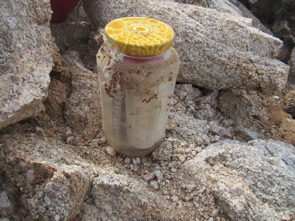
Dave’s jar.
The origin of the name “Devil Hills” eludes me, my research has turned up nothing. They sit in the shadow of the much higher and very extensive Cabeza Prieta Mountains. Speaking of which, here’s a look out to that range. Dead-center in the photo sits the range high point, about 1,700 feet higher and 7 miles distant. I’d stood on its summit more than 30 years earlier, which now seemed like a lifetime ago.
Looking southwest
These Devil Hills only span 4 1/2 miles of the Tule Desert, but are a surprisingly complex little group. I think of them as being in 3 sections. The westernmost had a number of peaklets with a hundred feet or more of relief: namely, Points 1063, 953, 951, 1012 and 1070. Then there was the central part of the group, the ridge upon which I stood, with the high point of 1,110 feet and its neighbor Point 1095. The eastern cluster, I had already walked past earlier, seen on the map as Points 938, 987, 991, 935, 943 and 949. Back in the year 1939, surveyors had been busy in this area, delineating a boundary between the bombing range and the wildlife refuge. That boundary sat a mere 1.6 miles to the north of where I was, and that surveyed line gave them plenty of data to work from to later identify all of those nearby spot elevations in the Devil Hills. If you click on this link, it’ll open up a window on the high point. Click on the little map for a larger view of the area and you’ll see everything I’ve been talking about.
After 40 precious minutes on the summit, I headed back down and had a snack on the flats at the base of the peak. The return trek back to my truck was even slower than the journey out. Along the way, I found a spent 50-caliber shell, a leftover from the days when the military used this space. This one was made at the Des Moines munitions plant in 1944.
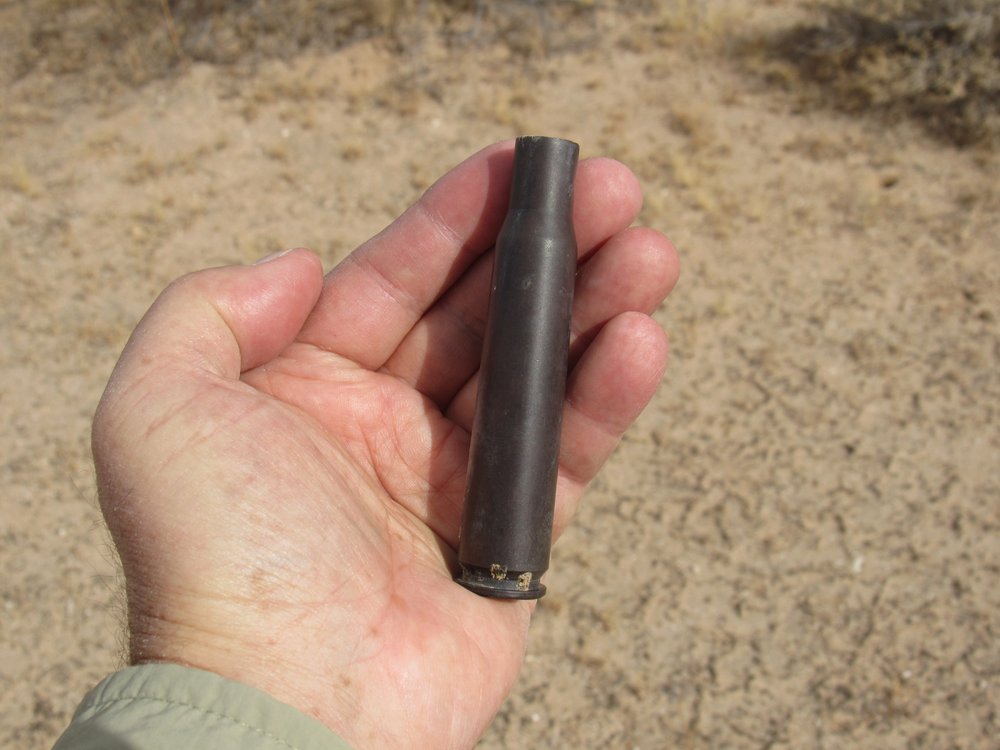
The shell.
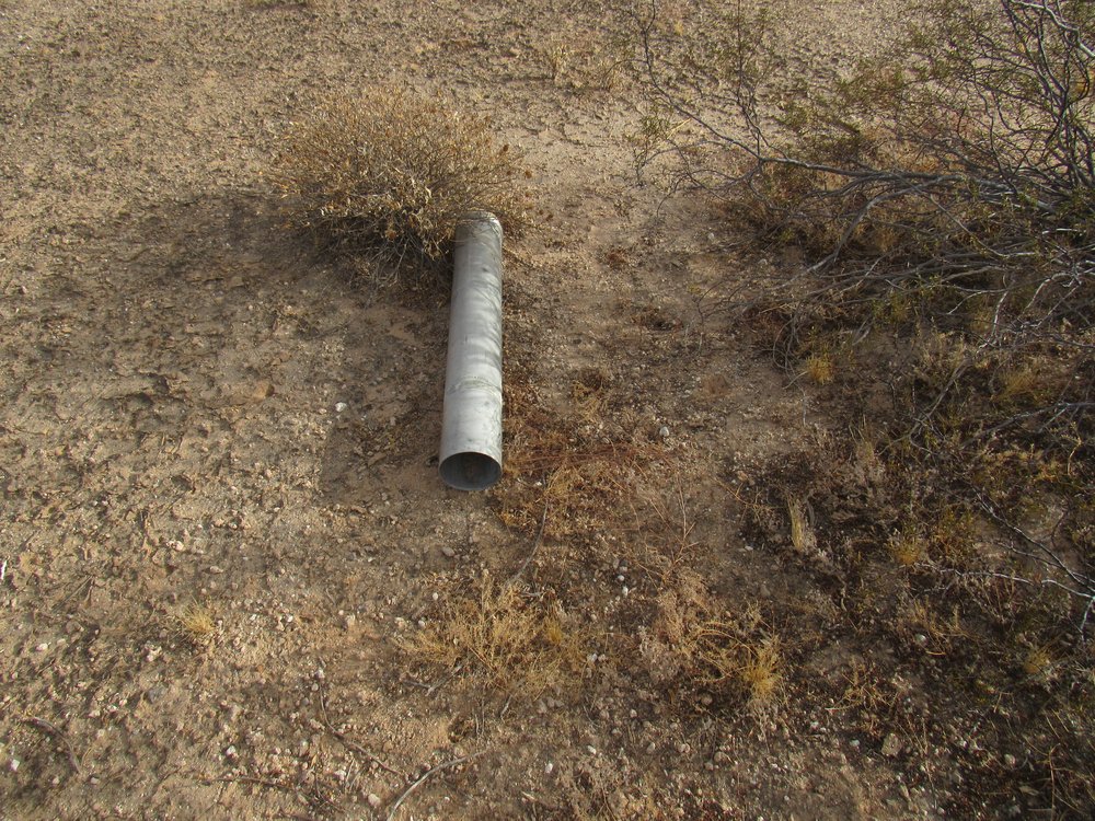
Another military artifact was this tow-dart, or what was left of it. I’m surprised that the wildlife refuge allowed the military to continue to use their space for such practice for so many years after the refuge was created.
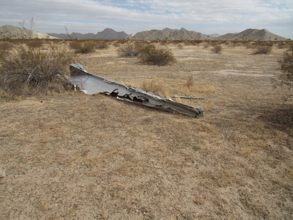
Tow dart.
As I walked, I came across many sets of very old vehicle tracks. Some of these are decades old, in some cases made by military vehicles way back in World War II.
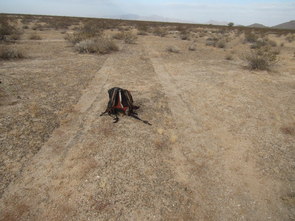
Old vehicle tracks.
There were plenty of newer tracks left by Bad Guys on quads. These have been pretty much stopped by the construction of vehicle barriers at the border.
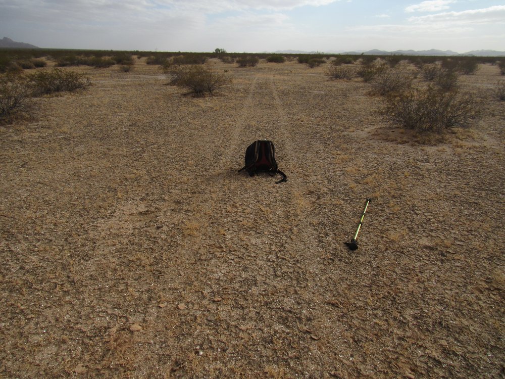
Quad tracks
Here’s a military flare – they hang from parachutes and are dropped from planes in the dark. They burn with a bright orange glow and are often seen by those of us who camp out on the bombing range at night. This one is about 3 feet long, and made by Morton-Thiokol, one of the masters of war.
A flare.
That last mile seemed to take forever, but finally it was done. I was glad, as my dogs were barkin’. It had taken me a full 7 1/2 hours to complete this smallest of climbs. What a feeling of solitude and remoteness I had enjoyed in the process – no regrets.