
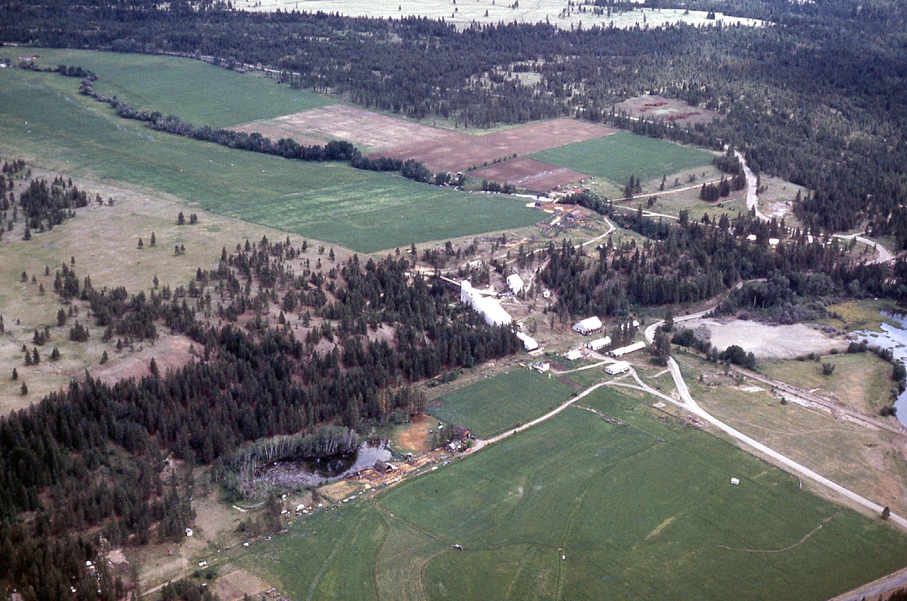
Some years ago – okay, it was actually more than 50 years ago – I was working in the Canadian Rocky Mountains. It was still back in the days when I was a geologist, so we’re talking about a previous lifetime here. On May the 16th, 1970 I had flown from Vancouver to Cranbrook, then moved out into the bush with the beginnings of my exploration crew. We immediately began construction of our tent camp, and by early June our chopper had arrived. This was one of those lucky projects that had a full-time helicopter, so I was pretty excited – it was going to be a good season. The work we were doing would be pretty routine – prospecting, silt sampling and the like. There wasn’t a group of claims that we were evaluating, so we’d be moving around a lot. One really cool thing about our camp on the North White River was that it was right beside a road, so we could drive to town to pick up our mail or enjoy a cold one as needed. Canal Flats was the nearest outpost of civilization, such as it was. Fewer than 700 folks live there now in the year 2020, and there were a heck of a lot less back in 1970. We even had a Post Office box for the summer, number 40.
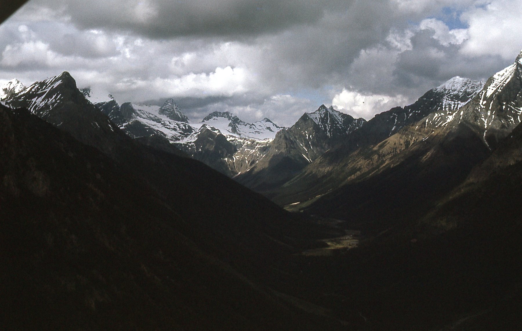
I’ve worked in a lot of pretty amazing locations when it comes to scenery, but it would be hard to beat our camp for the over-the-top vistas that surrounded us that summer. Now you know by now that when it comes to this website, I always try to focus on the mountains, so in this piece I’m going to talk less and show you a lot of scenery. How about this for starters, a look to the north up the river from our camp.
Looking north from camp.
Another view from near our camp was this one.
Another nearby spot
And here’s one more, not far from our base.
One more lovely peak
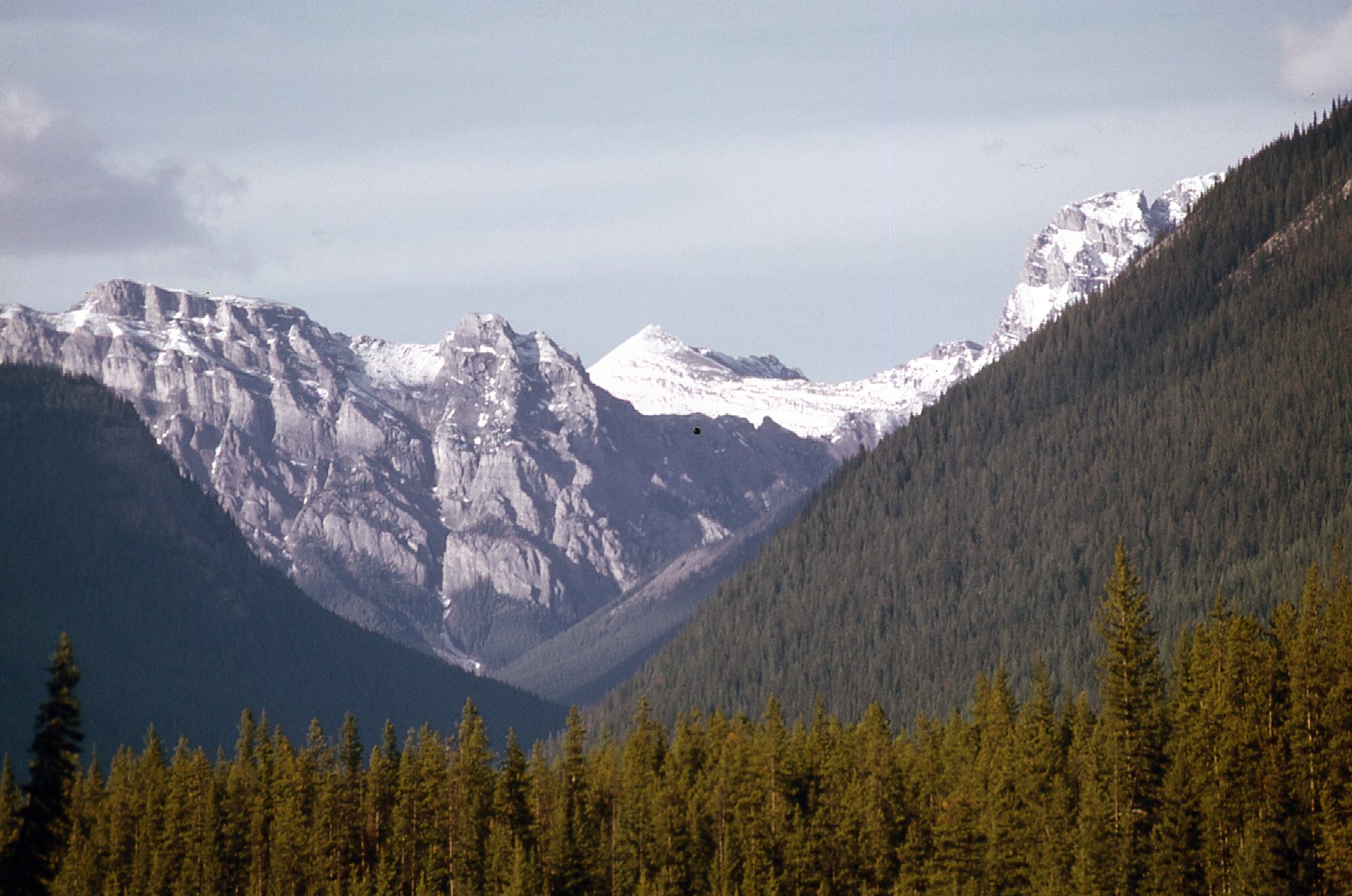
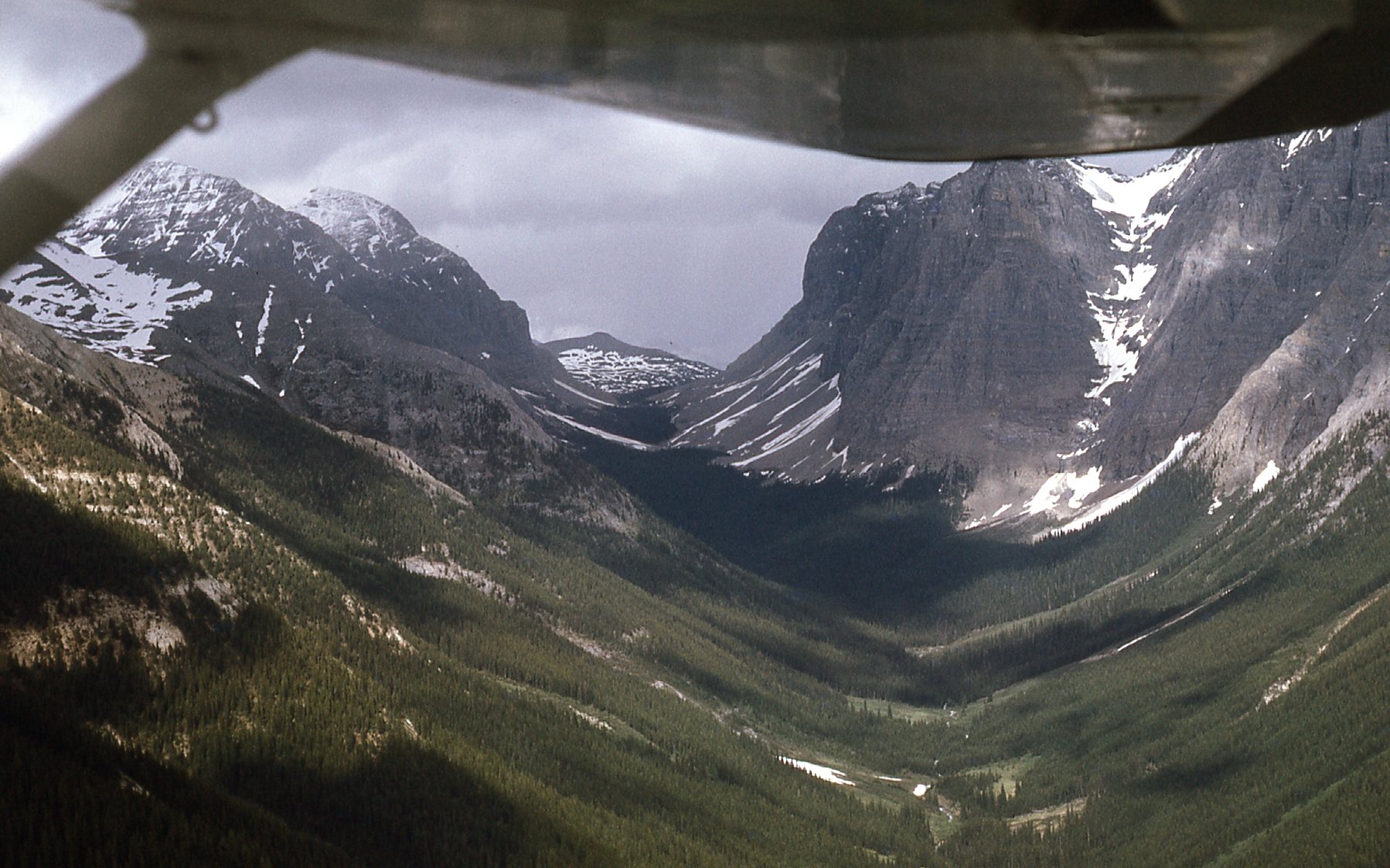
Not far from our camp, to the southeast, lay more terrific mountain country.
Southeast of camp.
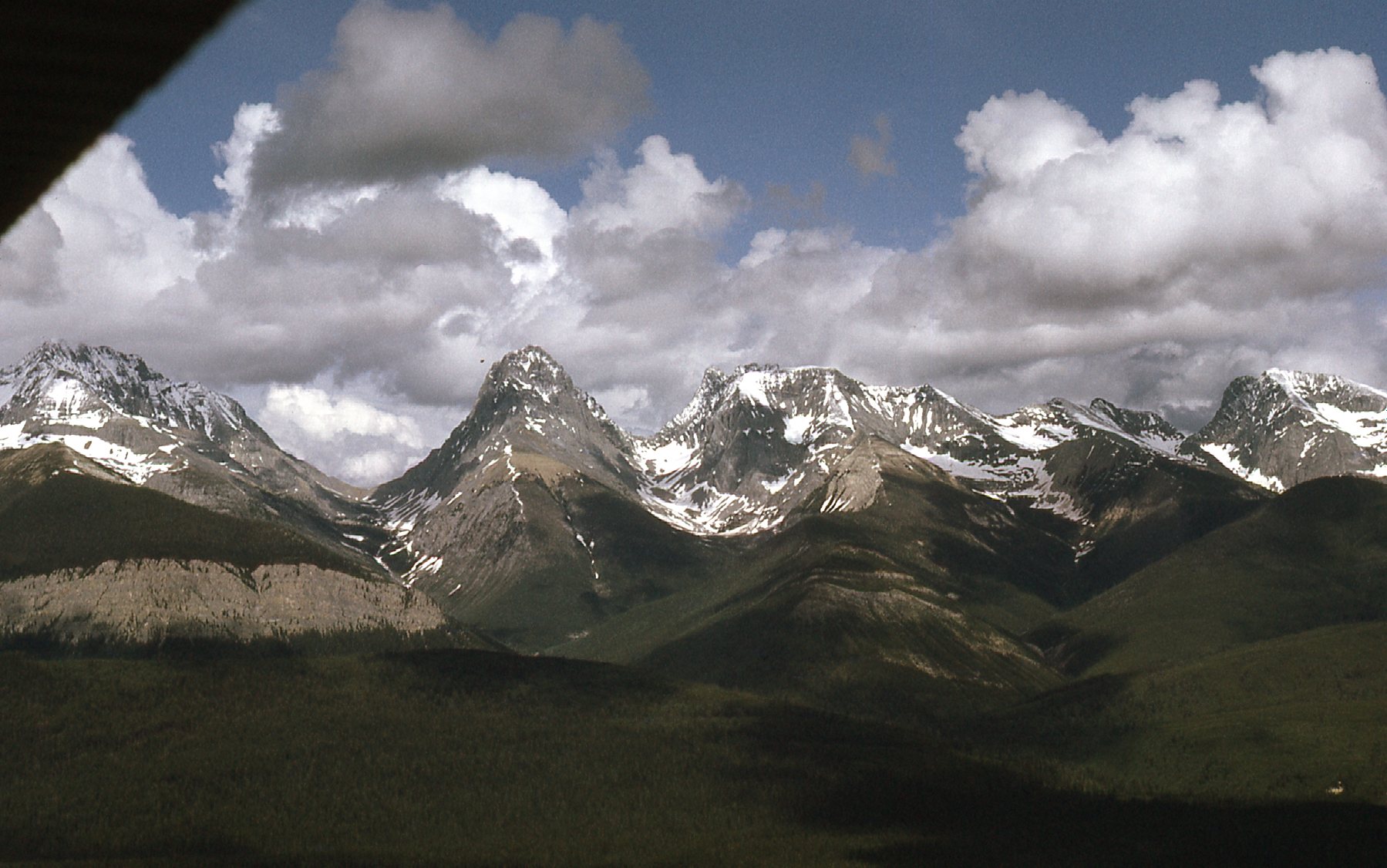
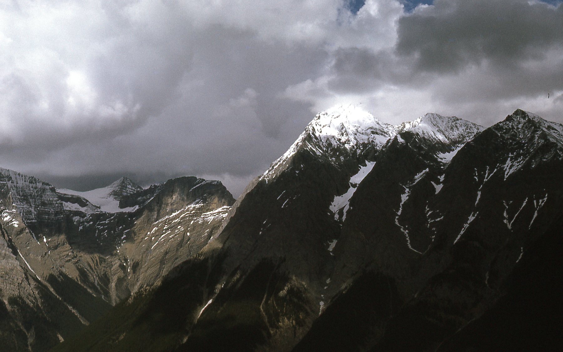
They didn’t call them the Rocky Mountains for nothing.
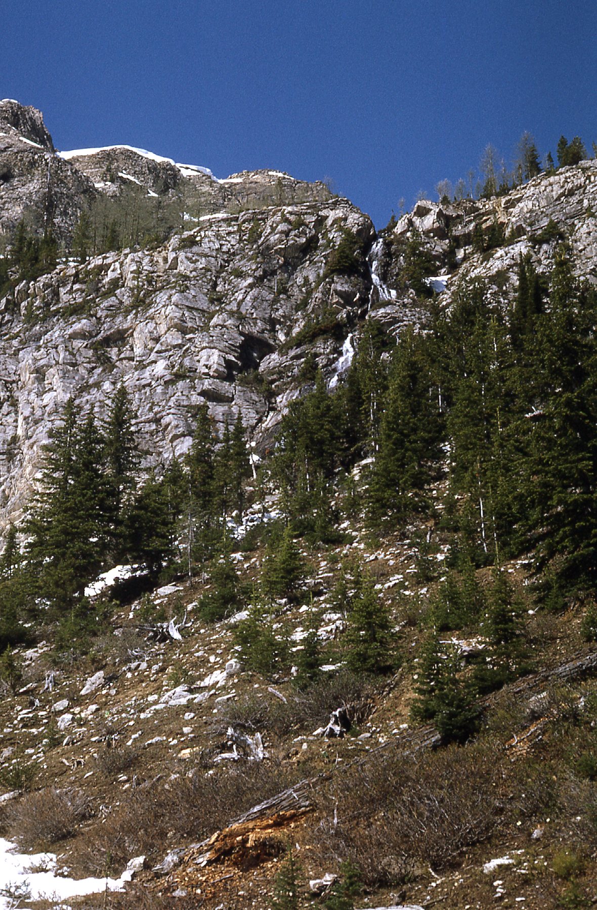
More rock.
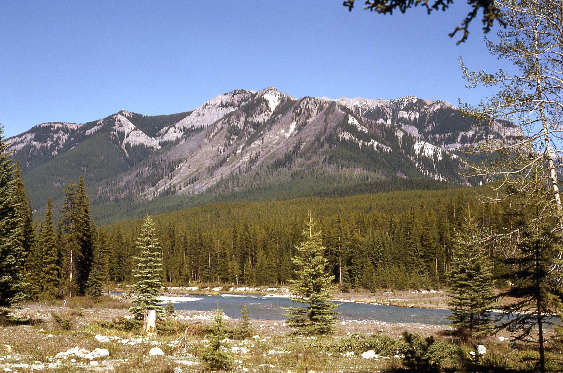
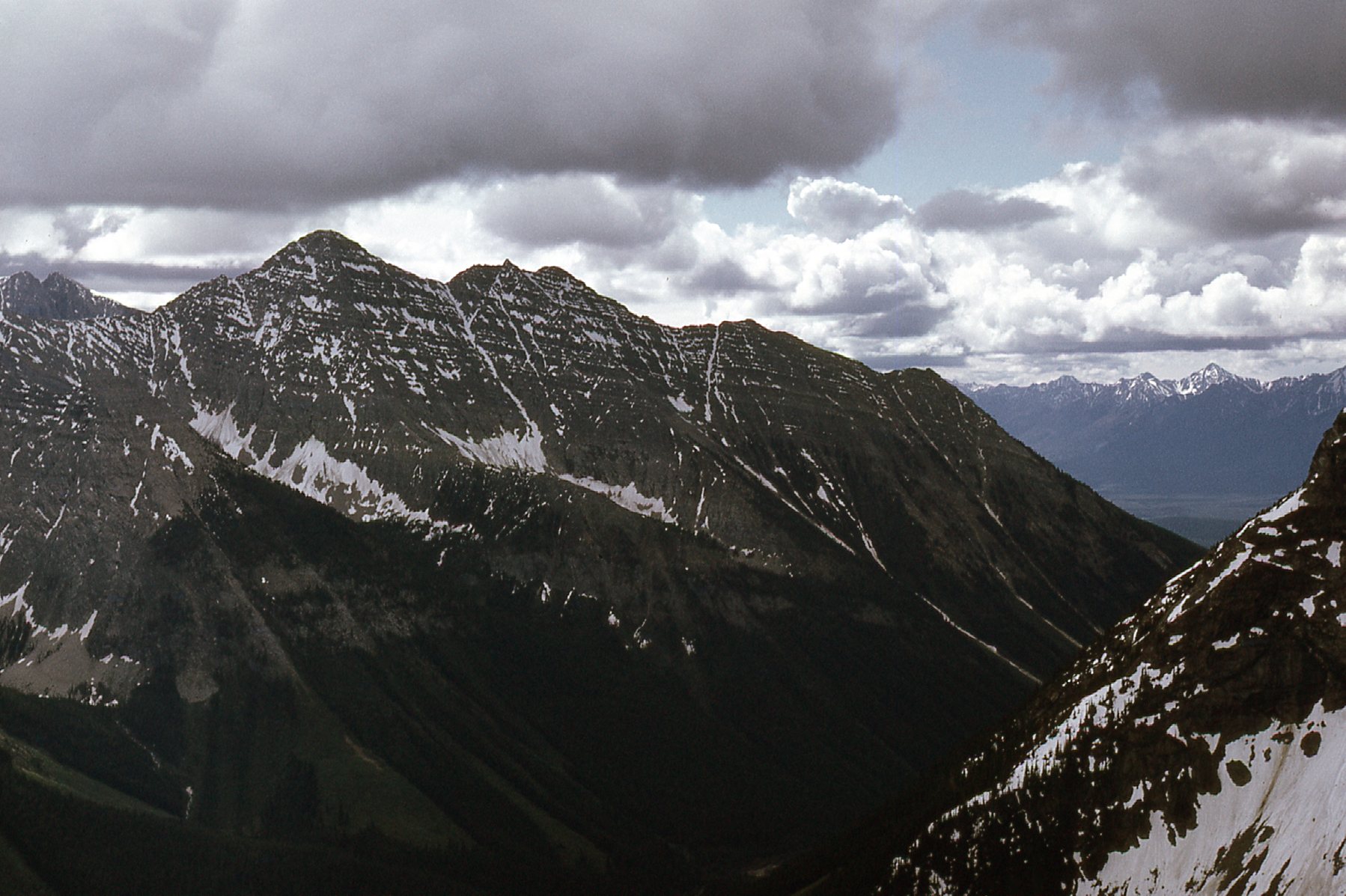
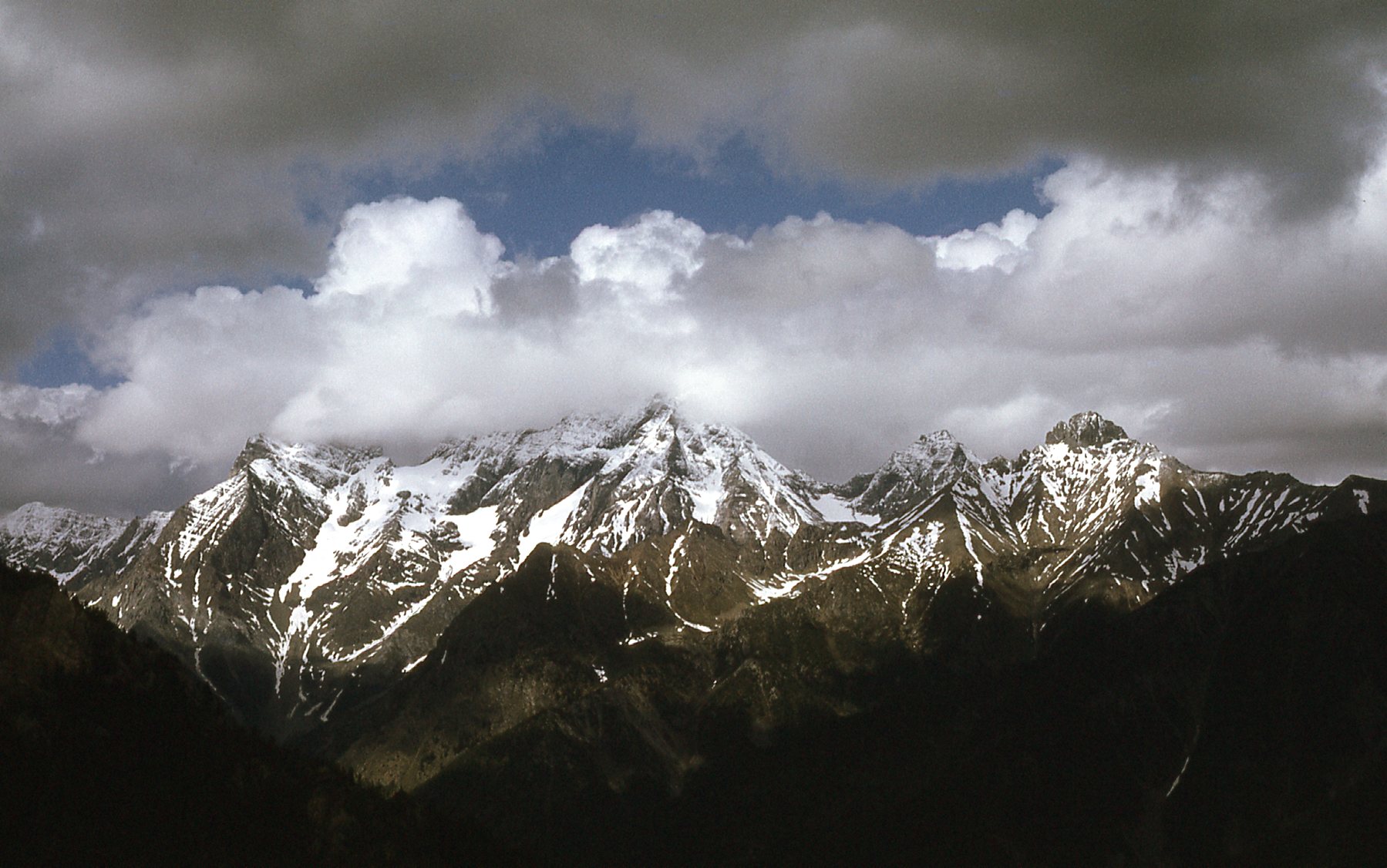
Here’s another view from near our camp – the white snowy mountain in the middle is Mount Harrison, the one farthest away. There’s something special you need to know about it.
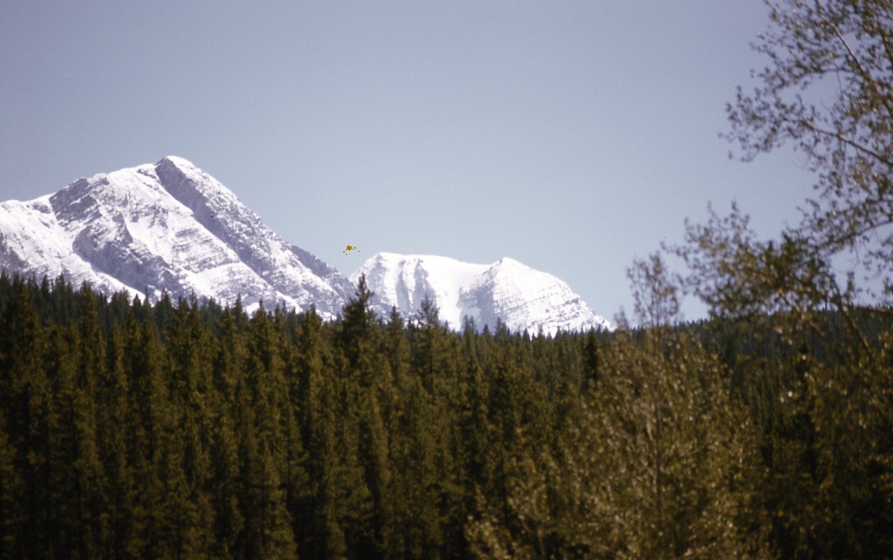
That’s Mount Harrison in the center but farther away.
There is a famous list of all of the 11,000-foot peaks of the Canadian Rockies, which has about 55 different mountains on it. Exactly how many there are on the list depends on which criteria are used, but in any case the last one to be climbed was Mount Harrison. Nobody stood on its summit until August 11th of 1964 when a group of climbers traveled from Vancouver and picked it off. It was kind of cool to see that it was so close to our camp. The reason it wasn’t climbed until so recently was that it wasn’t identified as an 11-er until a better map resulted from a better survey of the area.
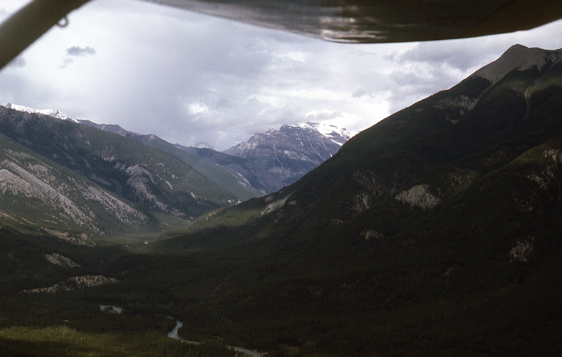
Our crew was large, 23 guys, and it was hard for me to believe that, even though I was only 22 years of age, the company had put me in charge. It was probably because I was the only one with a degree in geology. I realized that it gave me the ability to make a lot of decisions, so one of the things I most enjoyed was flying around and looking for places to do our exploration work. It was especially nice to get out on fine evenings and do that, flying high above the valley floors – the scenery was absolutely distracting.
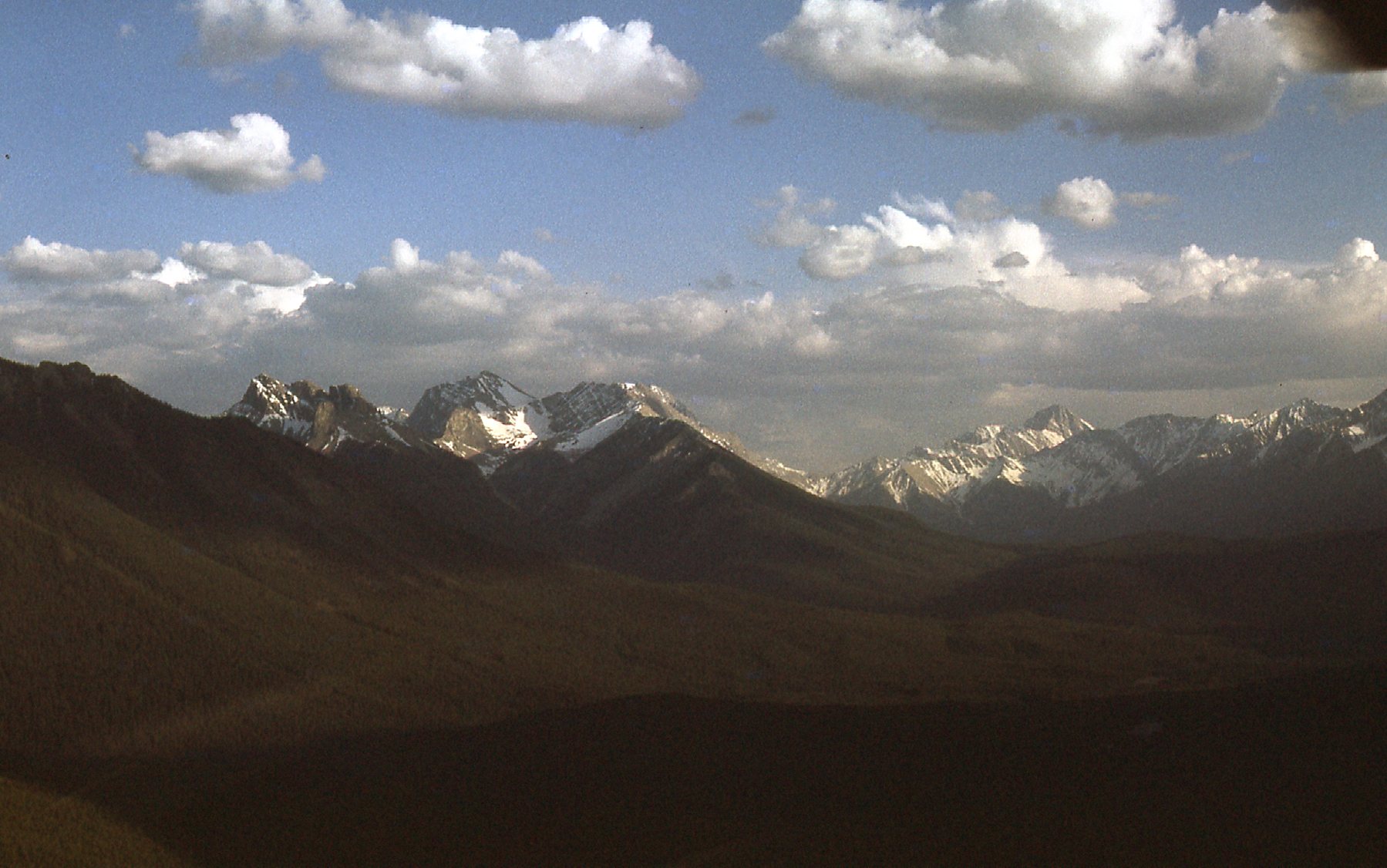
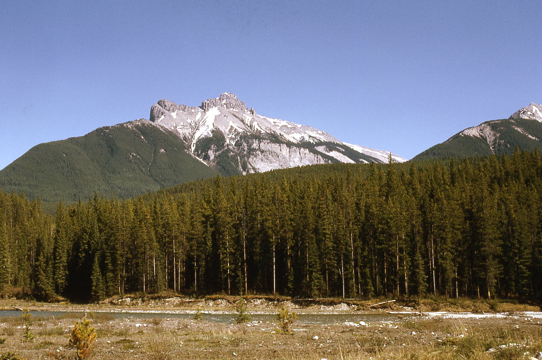
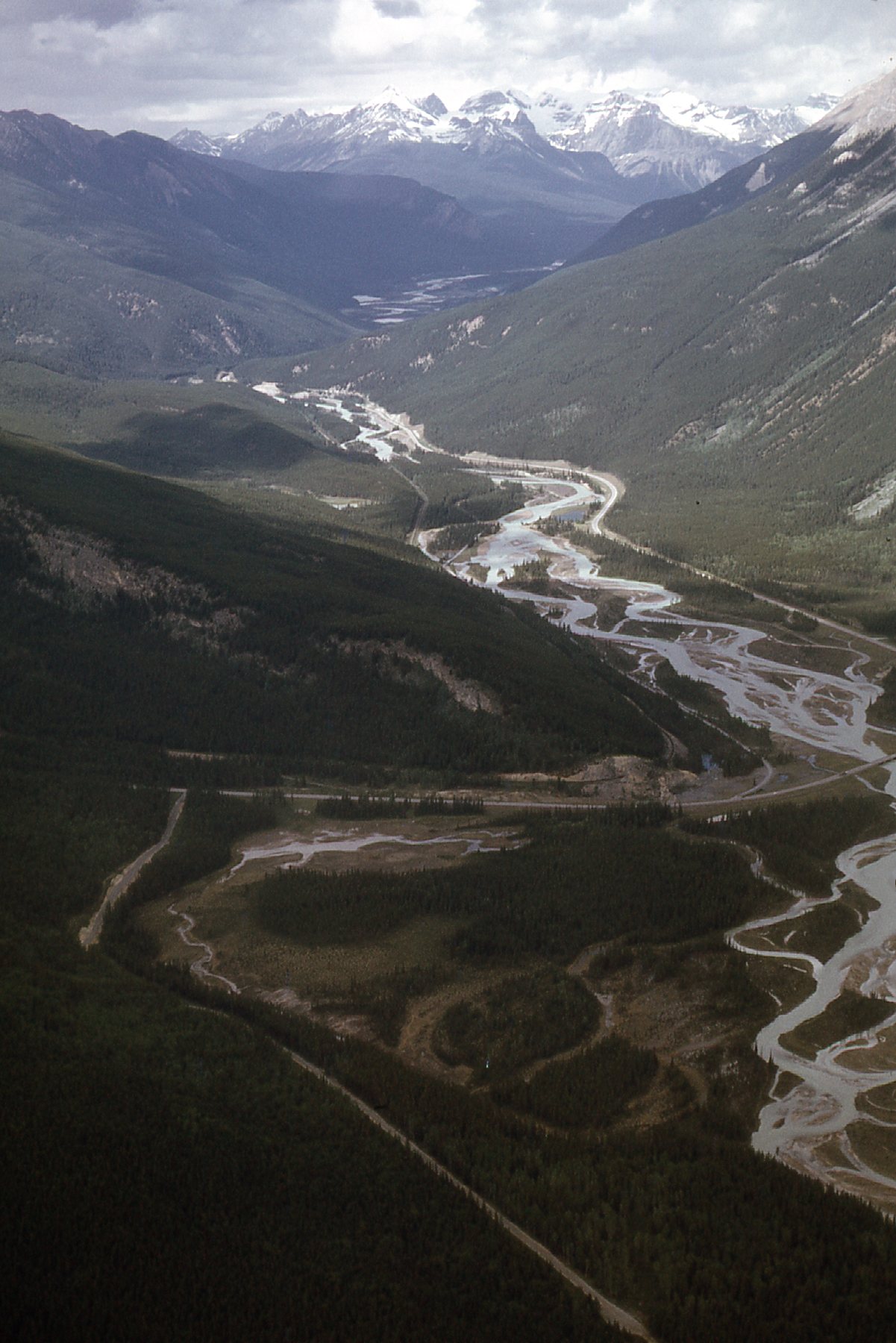
Looking south
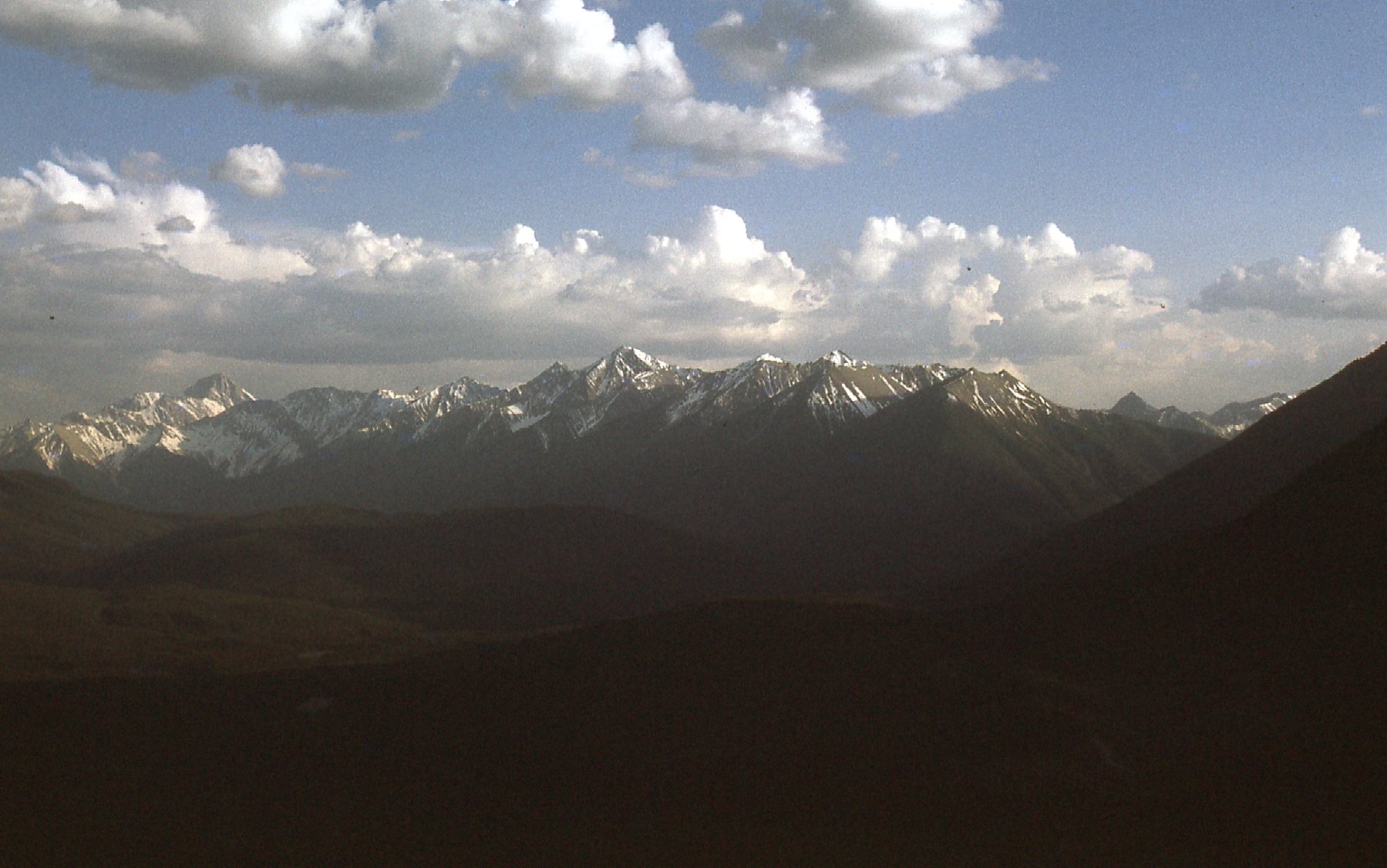
Looking southwest
Our company, a small consulting engineering firm, was based in Vancouver. We managed geological exploration jobs for others as well as original projects of our own. One day in early June, the bosses back in the city decided that we needed to look at a piece of ground a hundred miles to the north. I had one of the guys drive me and a prospector to Cranbrook, about 80 miles away, where we chartered a Cessna 170 and flew north to Golden, a small sawmill town along the Trans-Canada Highway. That in itself was no big deal, but the route we flew was special. I had the pilot fly us over to the White River, then north along it until it joined the Kootenay River. We then flew north along the Kootenay many miles, past where the Vermilion river joined it, then continued up the valley northwest until we arrived over the Kicking Horse River and followed it to Golden. Ah, the mountains! Here’s the proof, examples of what we saw along the way. This was shortly after leaving Cranbrook.
Near Cranbrook
Here’s a look up the Palliser River.
Looking northeast up the Palliser River.
This is near where the Vermillion river joins the Kootenay.
These peaks are west of Floe Lake.
Looking east to the peaks west of Floe Lake.
Another look, north up Moose Creek.
Looking up Moose Creek.
We skirted the edge of Yoho National Park and had this view of Chancellor Peak, its summit in the clouds.
Chancellor Peak
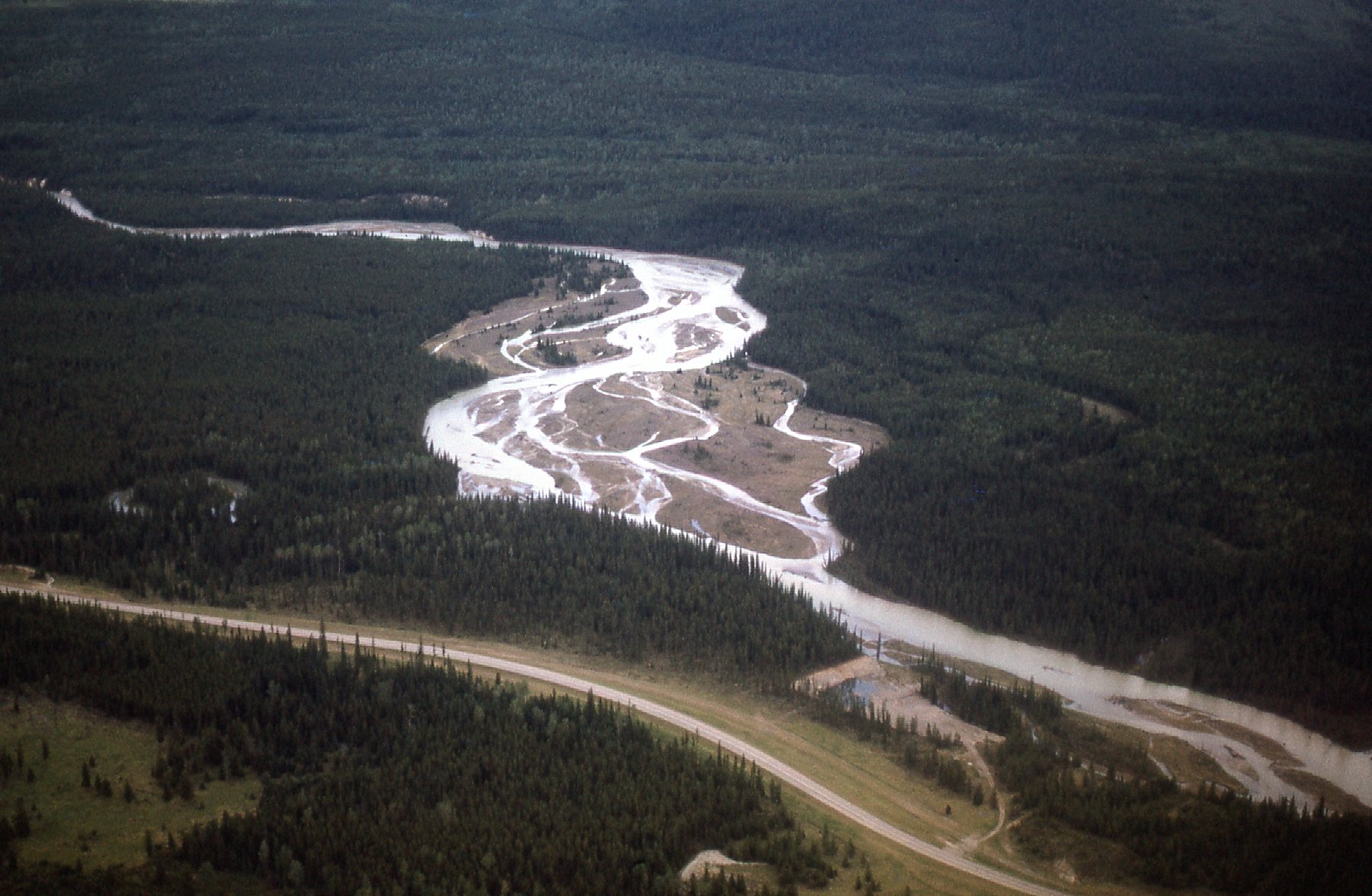
That put us over the Kicking Horse River – here, we’re looking north up it into Yoho National Park.
A look north up the Kicking Horse.
Once we landed in Golden and were checked in to the Golden Arms Hotel, I called an old friend who I knew from the summers of ’65 and ’66 when I had worked in this sawmill town. He came over to the pub, and while we enjoyed a few cold ones, I also met up with the pilot from Bow Valley Helicopters who would ferry us around for the next few days.
Early the next morning, he flew me and Paul in his G3B1 chopper to a location almost within a stone’s throw from the boundary of Yoho National Park. My bosses wanted us to examine an old adit and take samples from nearby creeks. Personally, I thought it was a waste of time, as this area had been examined by others for decades. Nevertheless, I did some mapping and we collected what we could. There were two things about this spot that made it interesting, though.
The first was that there was a known deposit of sodalite here. Sodalite is not a common mineral, and what we saw there was a part of the Ice River complex. The color of sodalite is a unique shade of blue, unlike that of any other mineral. To be perfectly honest, since it’s been 50 years since I was there, I don’t recall if sodalite was the reason for our visit or if we were there to check on other mineralization. We spent most of our day along Moose Creek and on Zinc Mountain, between 8,500 feet and 6,820 feet elevation. What a mountain setting we were in!! Check out these photos of our surroundings. As we flew up Moose Creek, here were a couple of photos I took.
At the north end of Moose Creek
This one is of the Washmawapta Icefield from the west side of Moose Creek.
Washmawapta
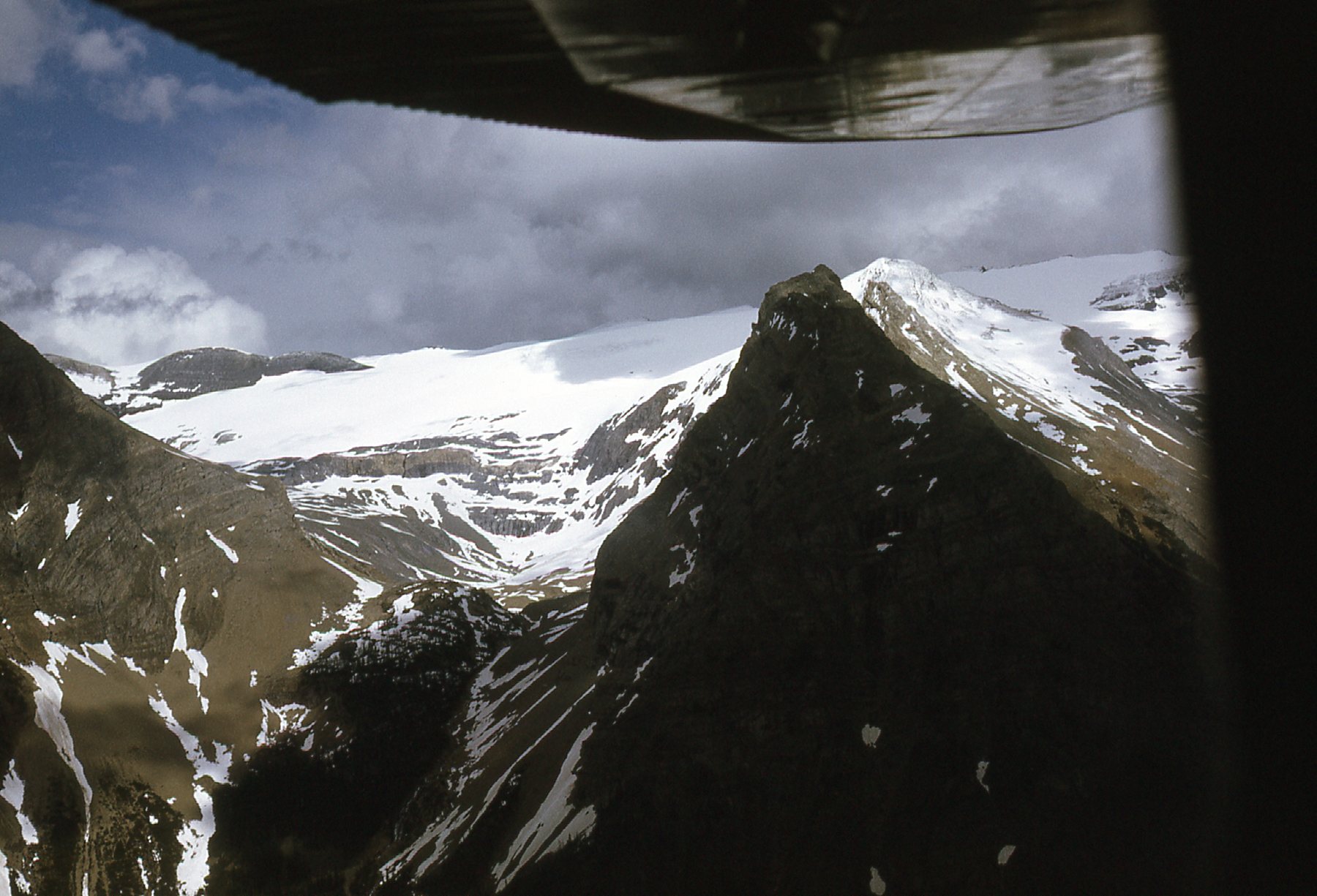
Later, we flew right past Striped Mountain.
Striped Mountain
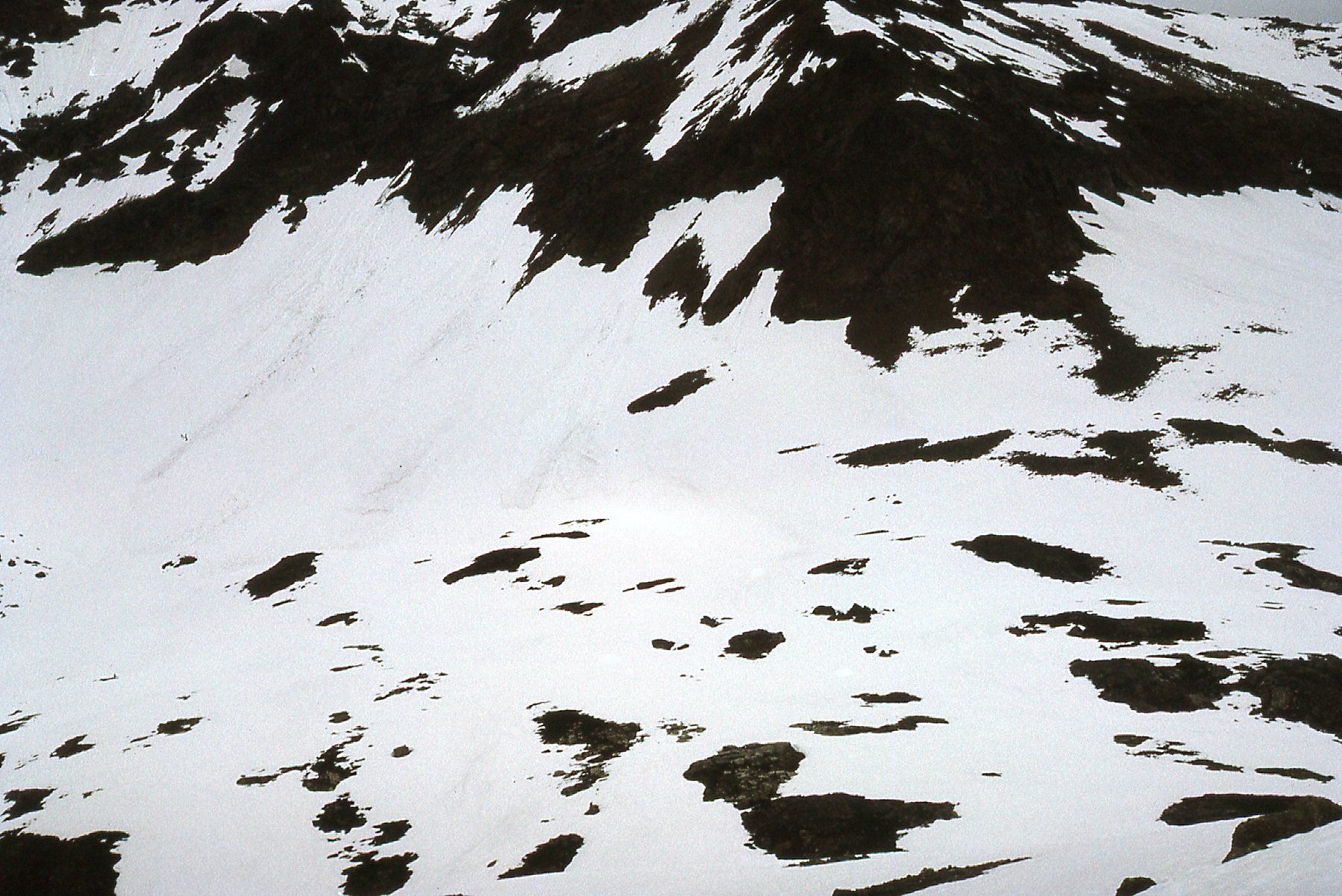
We had the pilot drop us off at 8,500 feet on the east slope of Zinc Mountain – this is where we spent the rest of the day. The surrounding peaks were so distracting it was hard to get any work done. Check these out.
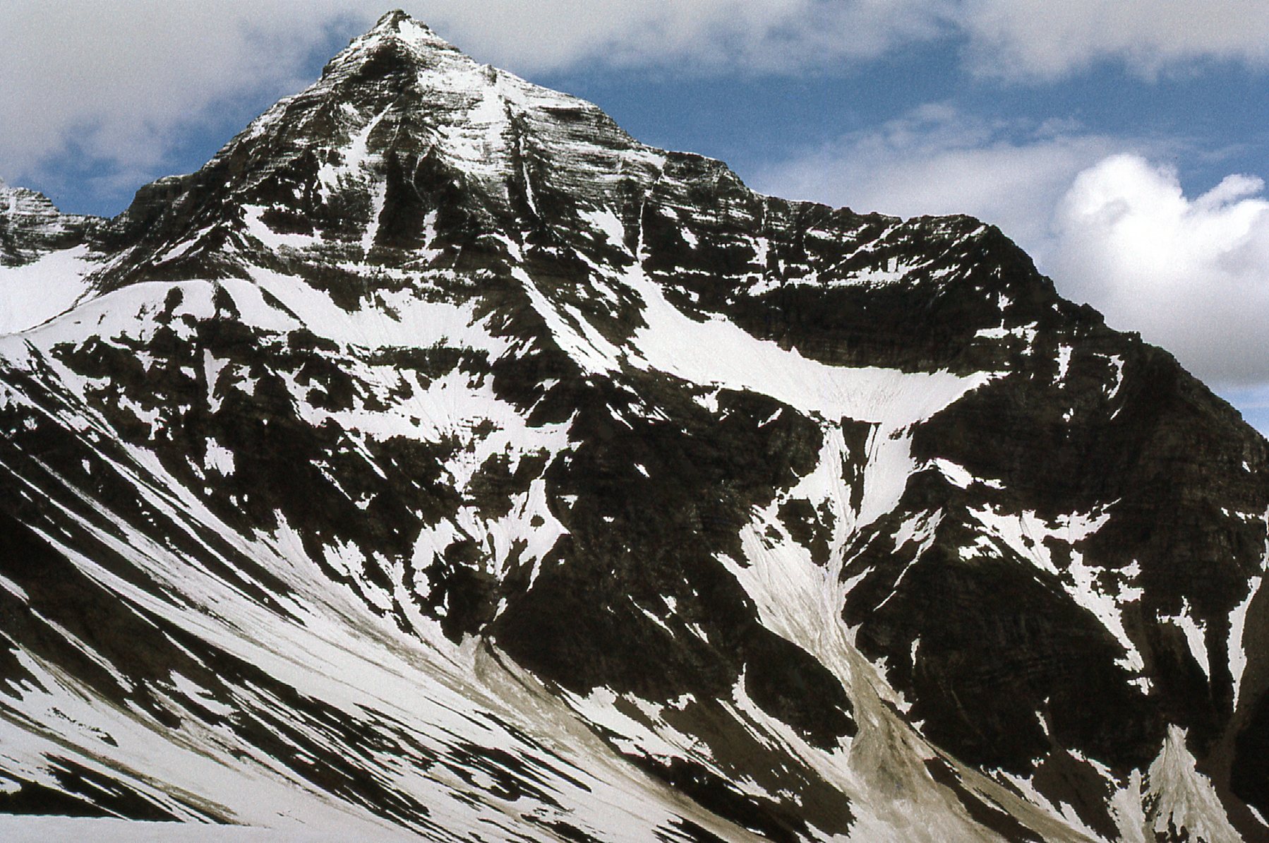
This is Manganese Mountain, just over 9,400 feet – we are looking south.
This one is Buttress Peak – about 8,960 feet, it sits just east of Manganese Mountain.
Buttress Peak – we are looking south.
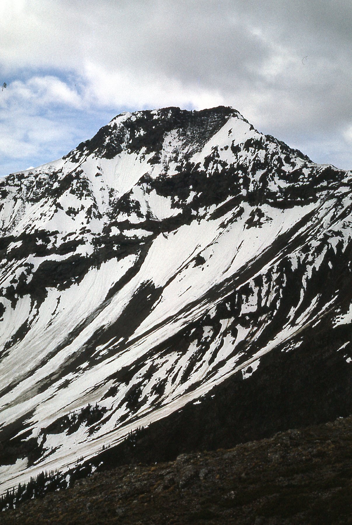
In this next one, we are looking southeast across the valley to Striped Mountain.
Striped Mountain, elevation around 9,185 feet.
We could even see back to the Washmawapta Icefield, to our east.
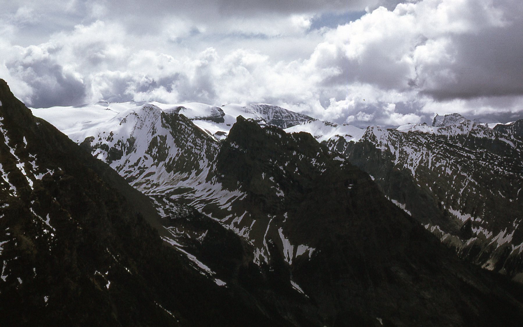
The Washmawapta Icefield.
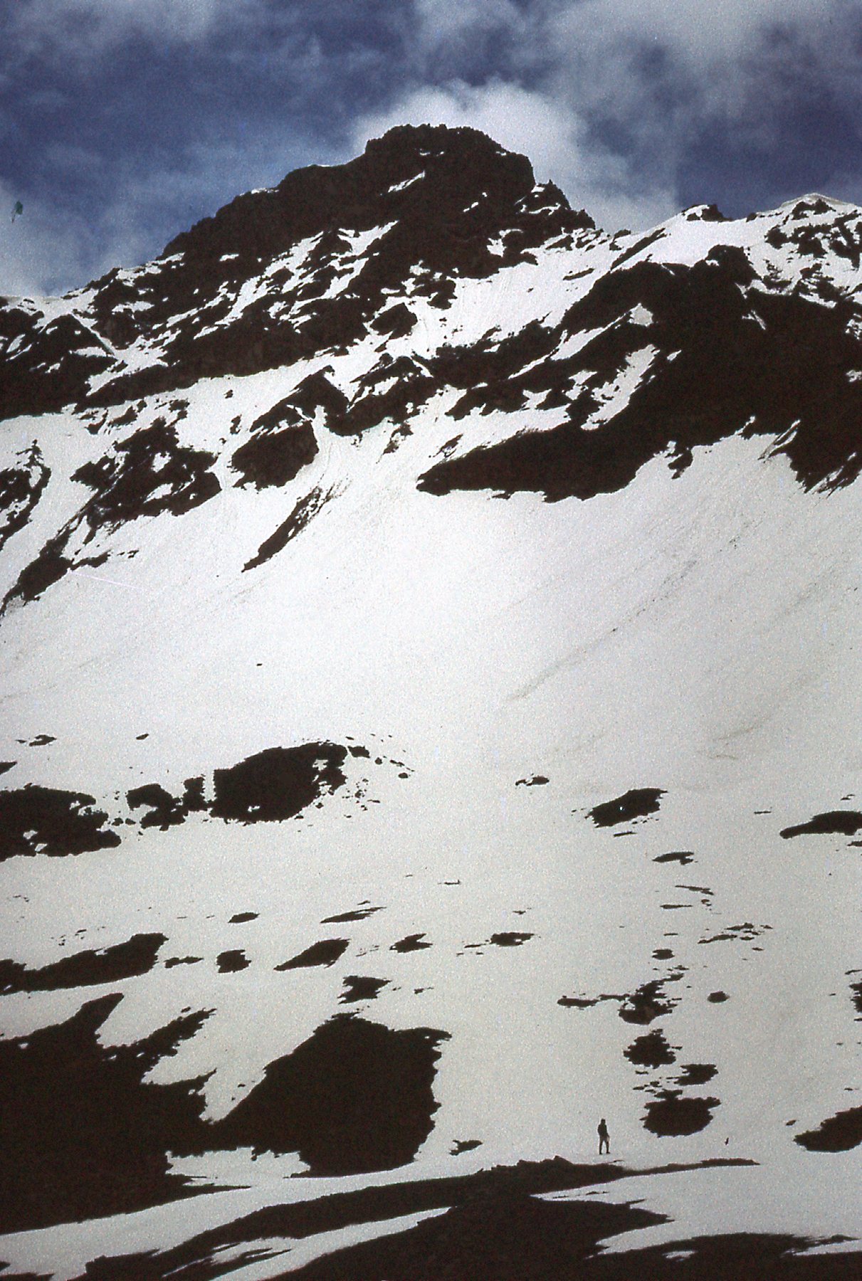
Directly east across the valley sat Helmet Mountain, elevation 10,175 feet. Just behind it sits the West Washmawapta Glacier.
Looking due east to Helmet Mountain
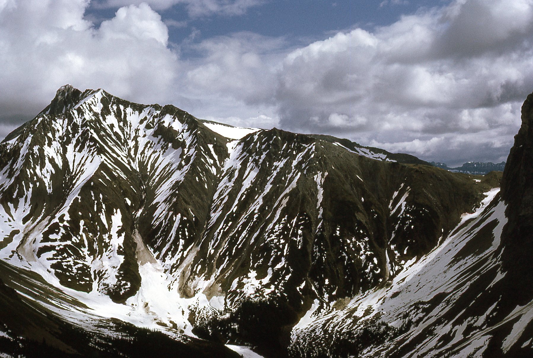
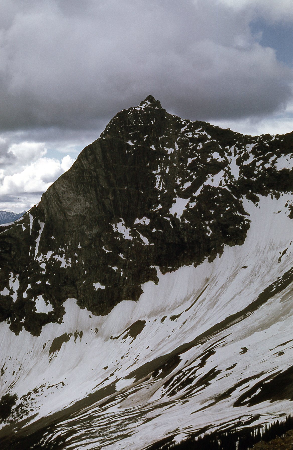
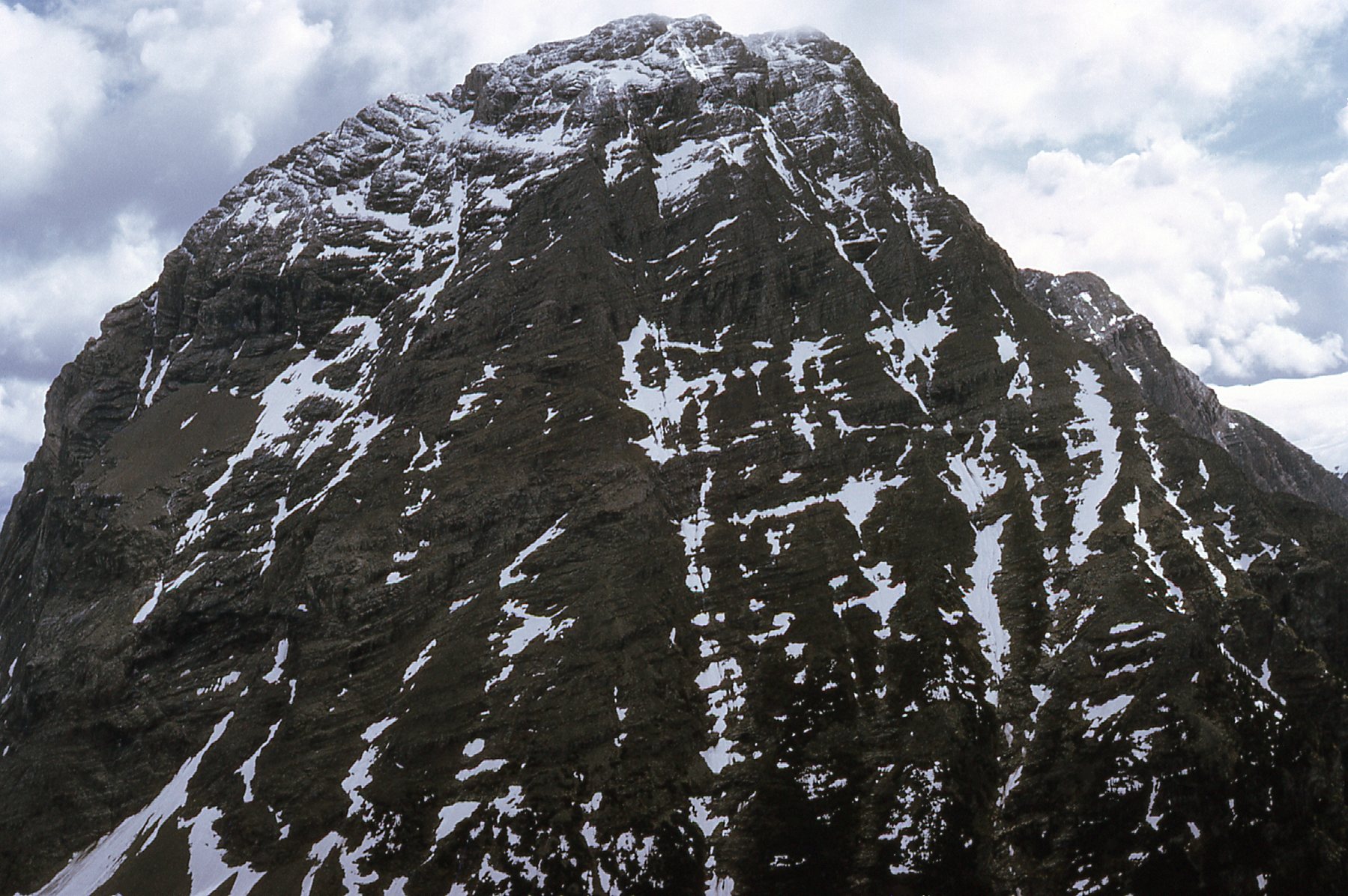
Here’s one more. Sharp Mountain sits to the northeast of Zinc Mountain where I stood, and just north of Helmet Mountain. It is about 9,950 feet high.
Sharp Mountain
We spent the day there, having fun until the chopper came back to whisk us away to Golden. That evening, we gave serious consideration to a new beer from Creston called Mountain Brew. The following morning, somewhat the worse for wear, we took off again in the chopper and flew back to the same area for more of a look-see at the geology. After the mineral of the same name, there actually was a place named Sodalite Creek. Here is a look north up its length as we flew past.
A look north up Sodalite Creek.
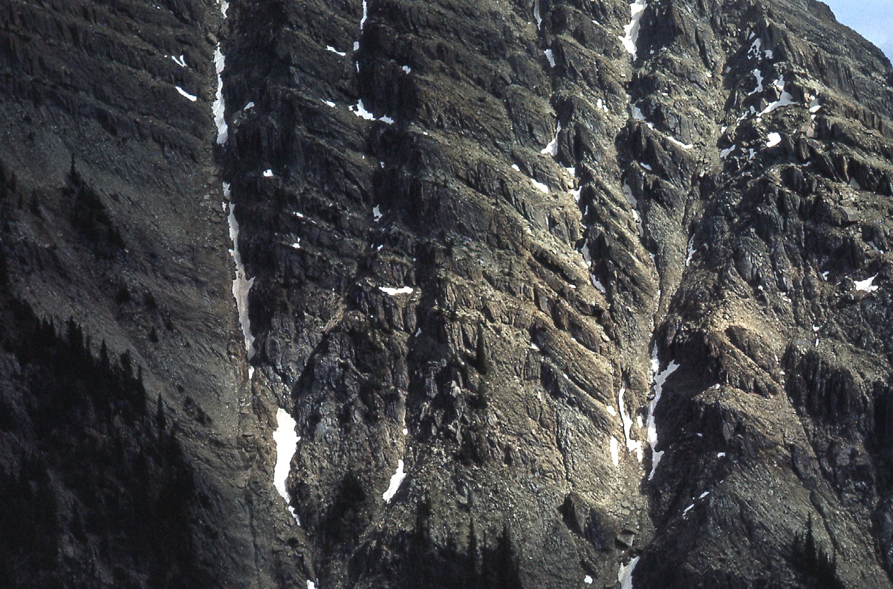
The peaks around the creek did not disappoint.
Near Sodalite Creek
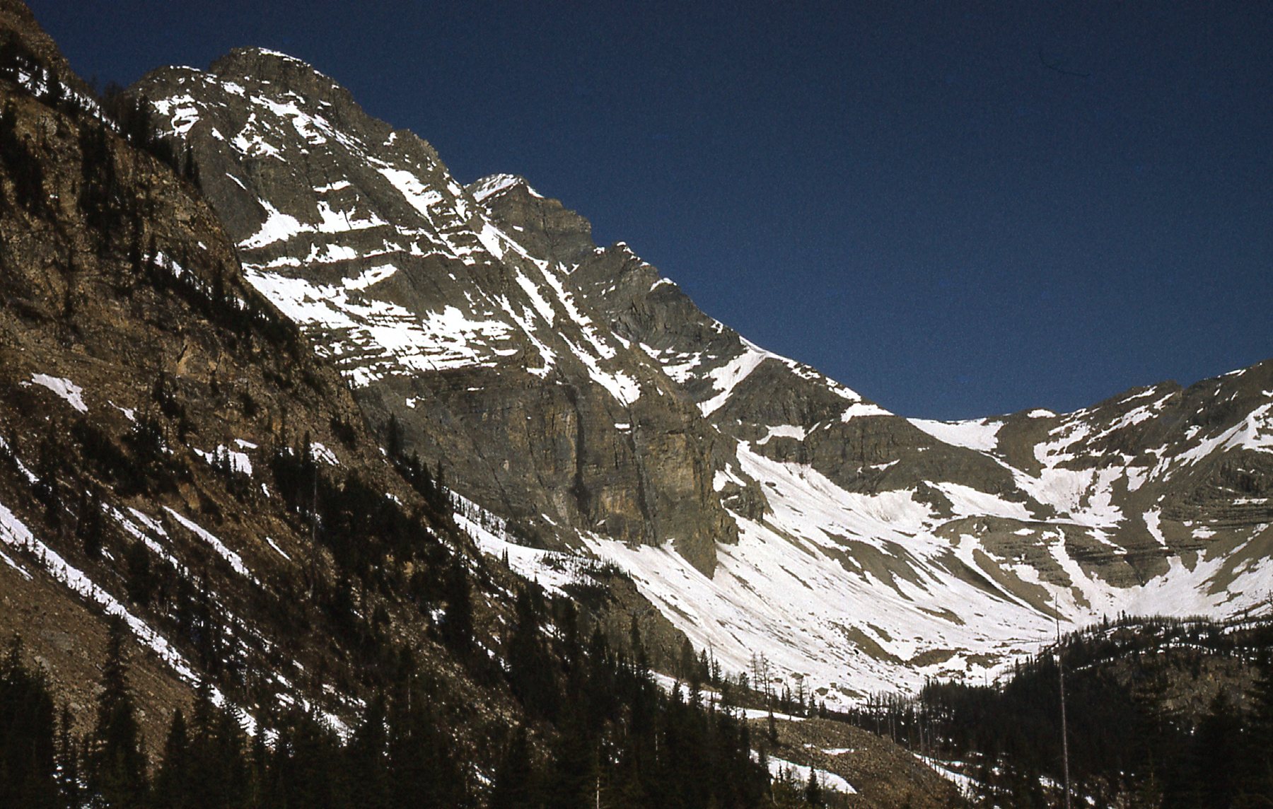
I mentioned earlier that there were 2 things special about the area in which we were geologizing – the first was the sodalite. The second, and far more impressive, was the fact that where the chopper dropped us on that east slope of Zinc Mountain was just a couple of miles from the main summit of Mount Goodsir. This challenging peak is the highest in Yoho National Park, and the 10th – highest in the Canadian Rockies. Clouds were swirling around the summit and lowering, so the 2 photos I have of it are grainy, but you can get the idea of a steep, fearsome peak.
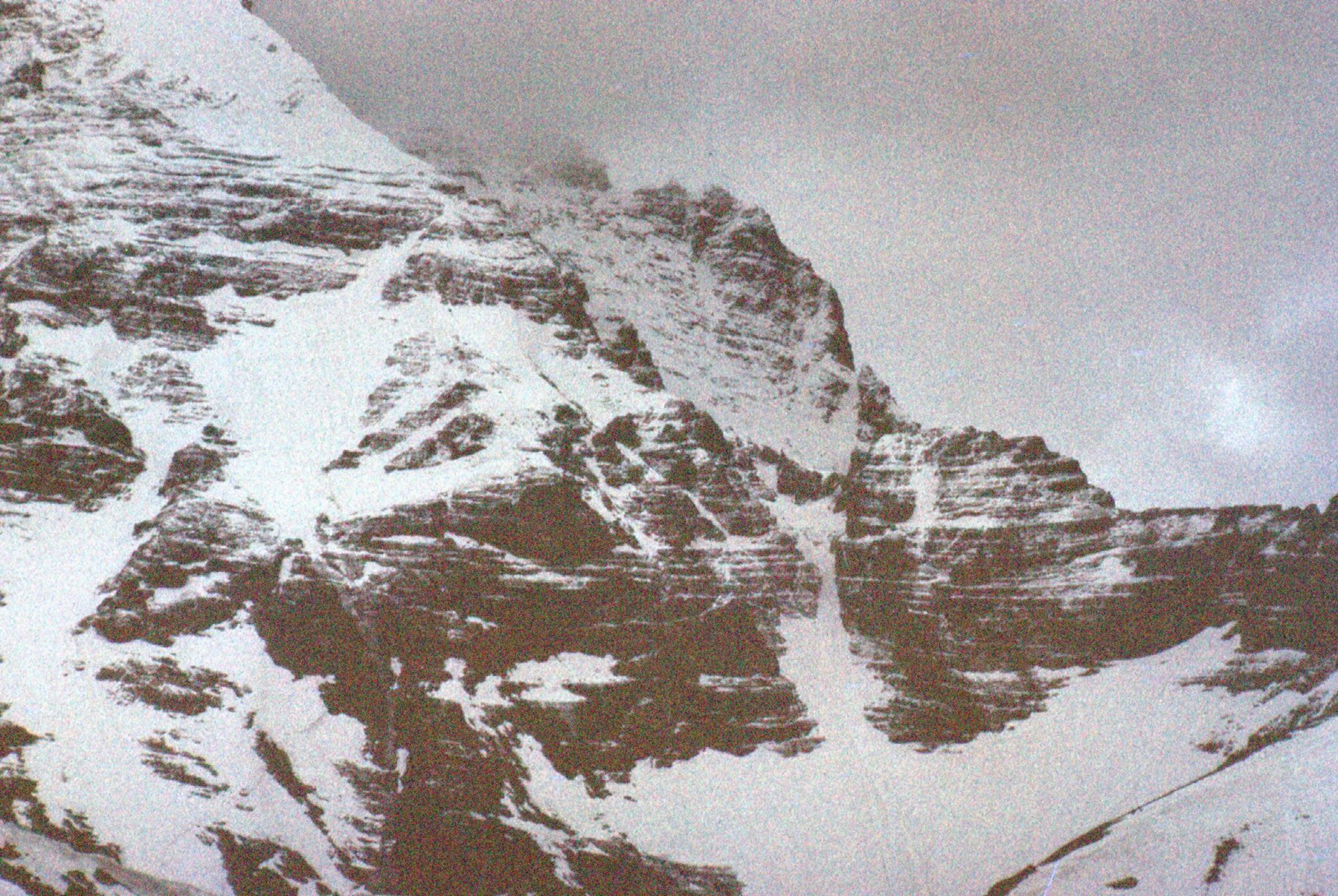
The east ridge of the peak.
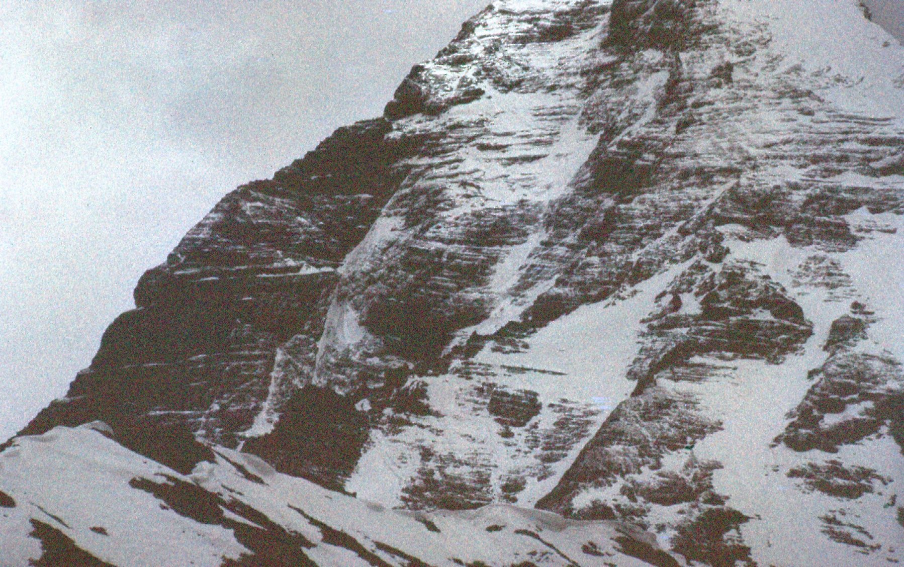
The south ridge of Mount Goodsir, elevation 11,703 feet.
I’ve never climbed this peak, but I sure did think of it many times over the years.
We didn’t spend but a few hours there finishing up our work – the chopper waited around for us. Here’s a shot looking across the lower east slope of Zinc Mountain.
The lower slope.
Here’s a bigger view – see my partner out there?
The east side of Zinc Mountain
And here’s one he took of me that day, June 12th of 1970. It was chilly the whole time we spent there.
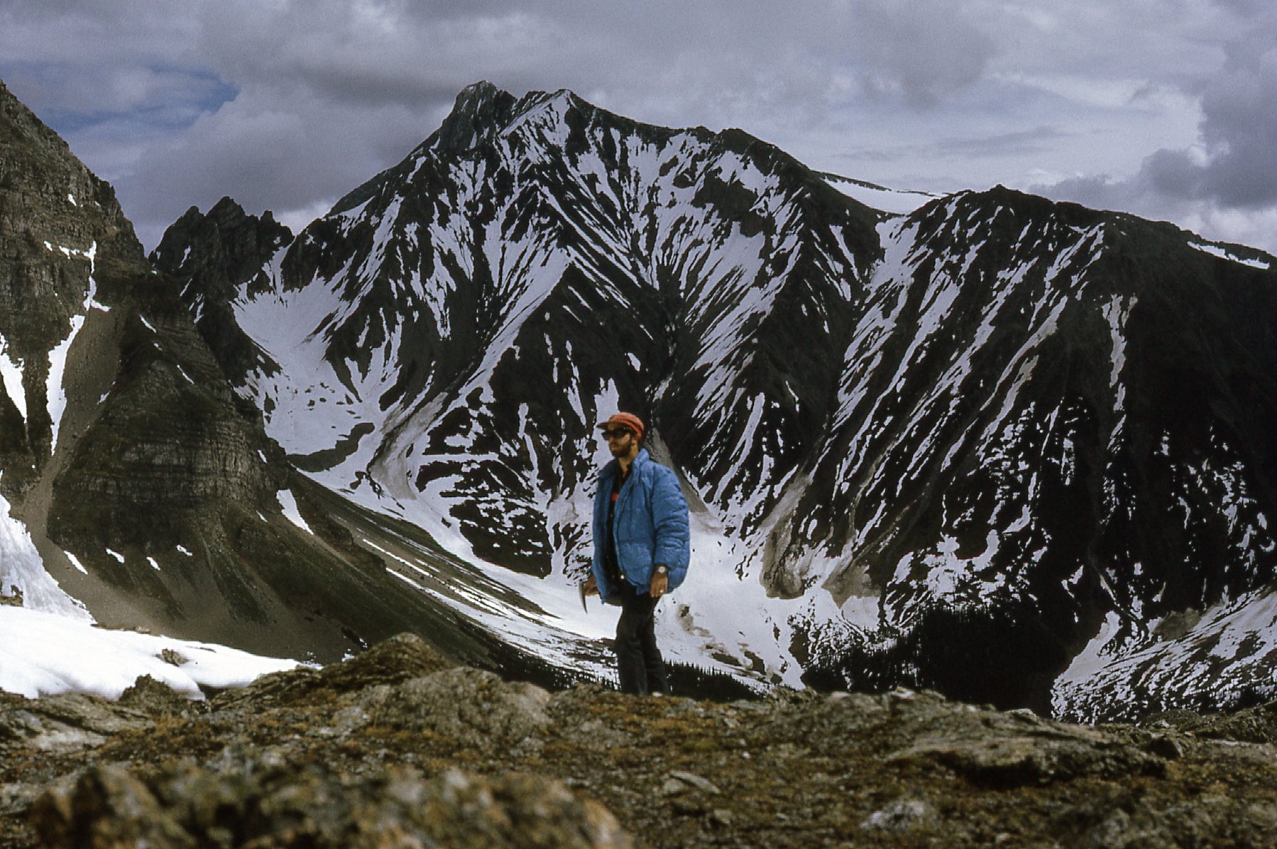
Hanging around at 8,500 feet.
We were back in Golden by noon, in time for lunch. Four of the guys I had worked with at the mill got together with us and we started to enjoy Happy Hour, but a rather extended version, from one in the afternoon until 4:30 in the morning. It was good to see all of them again. Paul and I flew back to Cranbrook the next day in the Cessna, definitely the worse for wear. A couple of the guys on the crew picked us up and had us back in camp by early afternoon, with plenty of time left in the day for me to produce a map of what we had seen at Zinc Mountain. So there you have it, Folks, the tale of my experience with sodalite.