
Millions of travelers each year get a glimpse of Mt. Urquhart but they don’t know what it is they’re seeing. If you’re heading east through the Fraser Valley in southwestern British Columbia along Highway 1, more commonly known as the Trans-Canada Highway, and you’re near the Yarrow exit, it’s straight ahead of you. Granted, it’s 45 miles away, but it’s still right there. It’s even more obvious if it’s covered in winter snow, because then it stands like a thin white spire against the blue sky. There’s another place from which it’s easily seen, and that’s along Highway 7 on the north side of the Fraser River, the highway that runs east from Mission to Agassiz and then on to Hope. For a short stretch between Lake Errock and Harrison Mills, you catch a glimpse of that striking peak. I lived in that area for many years, but it never dawned on me what I was looking at. It was only in the mid-70s that I finally figured it out, and then of course my interest had been piqued and I had to go and check it out.
Once I realized from my maps that it was Mt. Urquhart, I looked it up in Dick Culbert’s newly-published book Alpine Guide to Southwestern British Columbia. This was the book which stirred many of us to get our asses up off the chesterfield and get out into the mountains and explore. Dick said a few words about possible approaches but little else. I was intrigued, so I thought I’d give it a try.
My first attempt was a disaster. Now, 45 years on, I don’t even remember how I approached the peak or the date. I came in from somewhere to the west, made my way up some gnarly drainage, and climbed up some outcrop. When I reached the top, I was looking down some cliffs on the other side and realized it would have been a fool’s errand to even think of continuing. There was Urquhart out in the distance, way too far away and out of reach. So ended attempt number 1. Score: Urquhart – 1; Desert Mountaineer – 0.
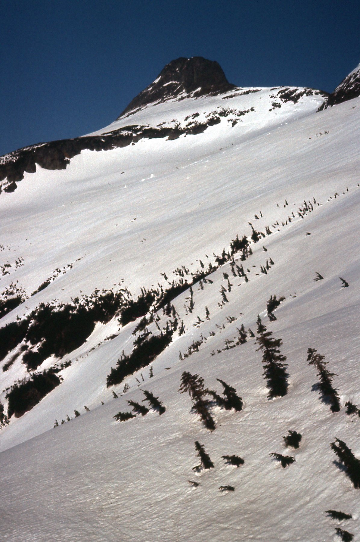
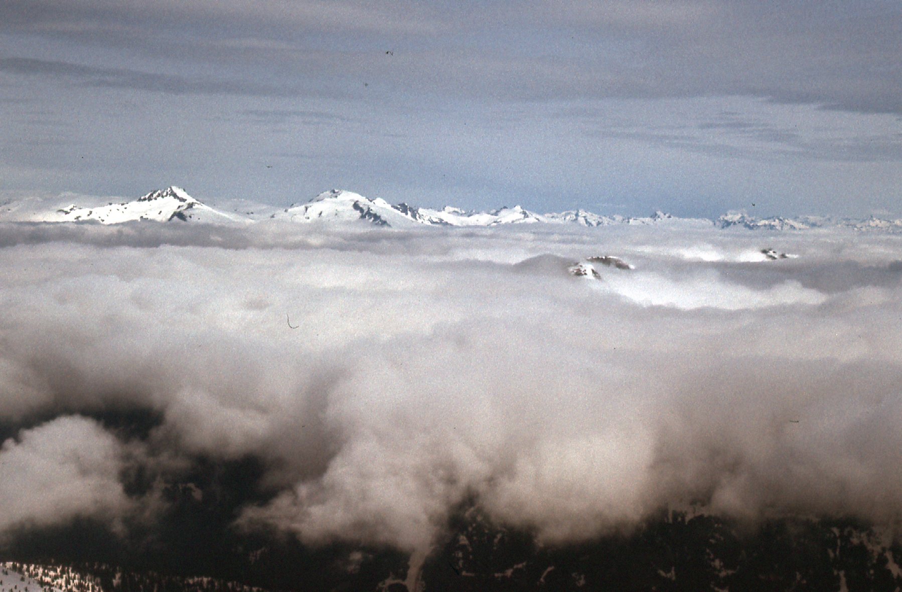
My records show that my second attempt was made on May 21st, 1976. I drove logging roads up the east side of Harrison Lake until I reached the Bear Creek logging camp, which was a going concern in those days. From there, I drove the logging roads up Cogburn Creek and then Hornet Creek. Four hours after I left Mission, on ever-worsening roads, I parked and started on foot. Carrying a full pack, I was ready to camp out. I set out heading east up dwindling tributaries of Hornet Creek until by 6:00 PM I had reached a ridge at 4,700 feet elevation only about a mile west of Urquhart. Up until now, the weather was fair and I thought it would hold. I was inspired by the surrounding mountains deep in snow. Here was a view I had while still on the logging road in Hornet Creek.
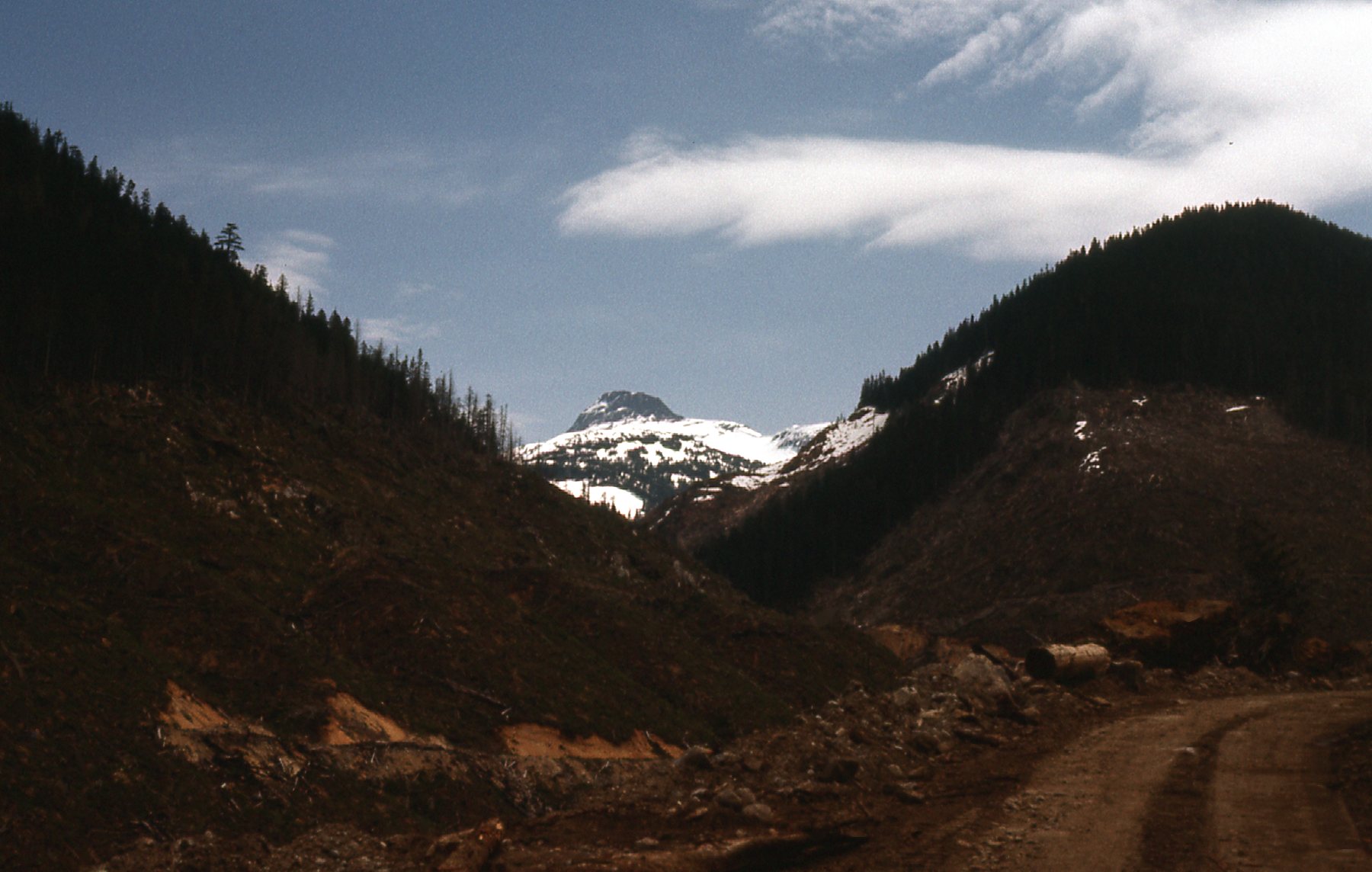
A glimpse of Mt. Urquhart from 8 miles up Hornet Creek.
It was early in the year, only late May, so there was plenty of snow on nearby peaks.
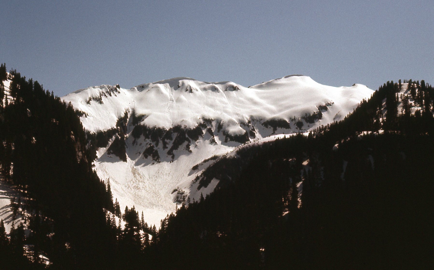
Snow
More snow.
Plenty of snow
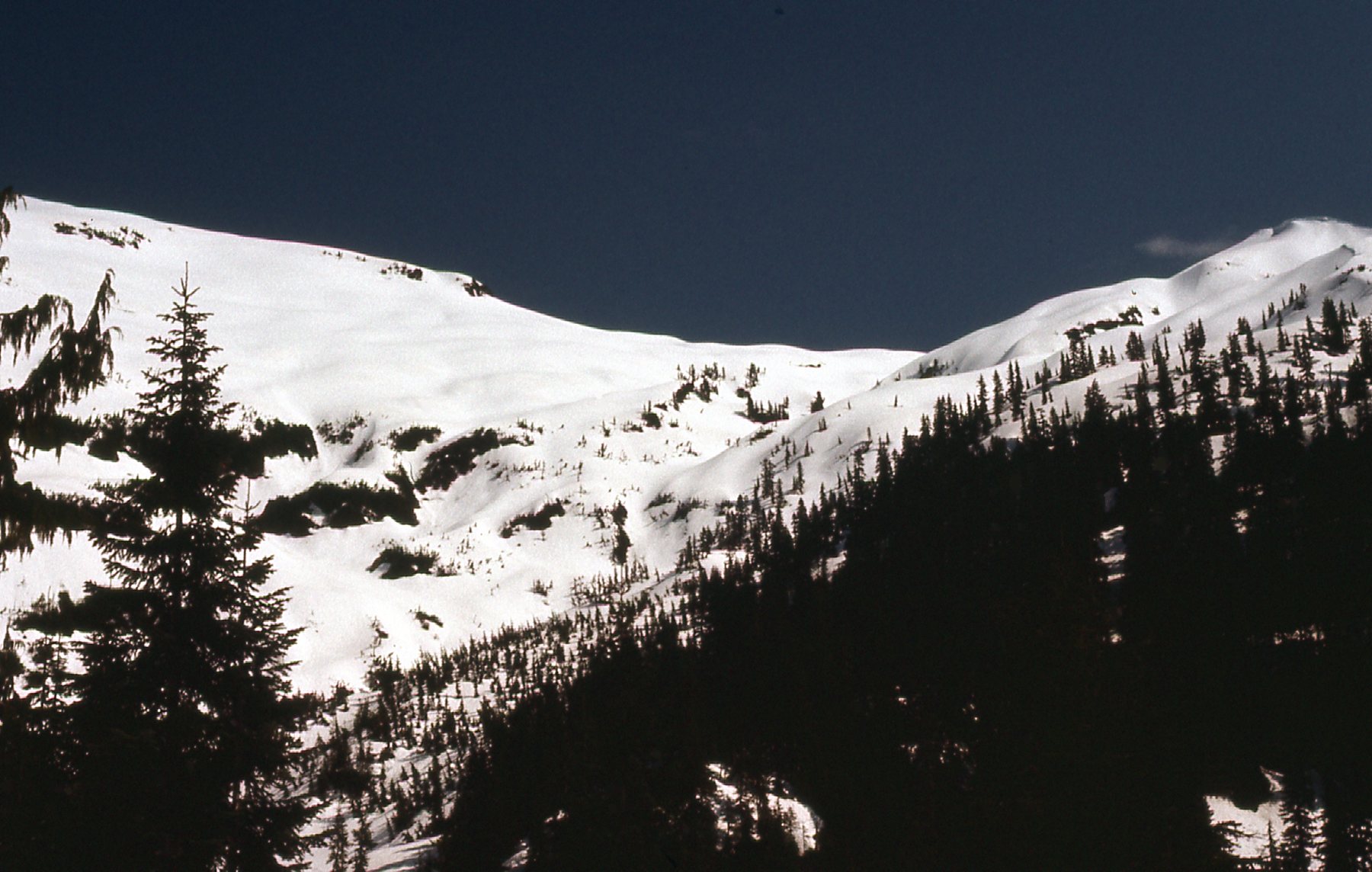
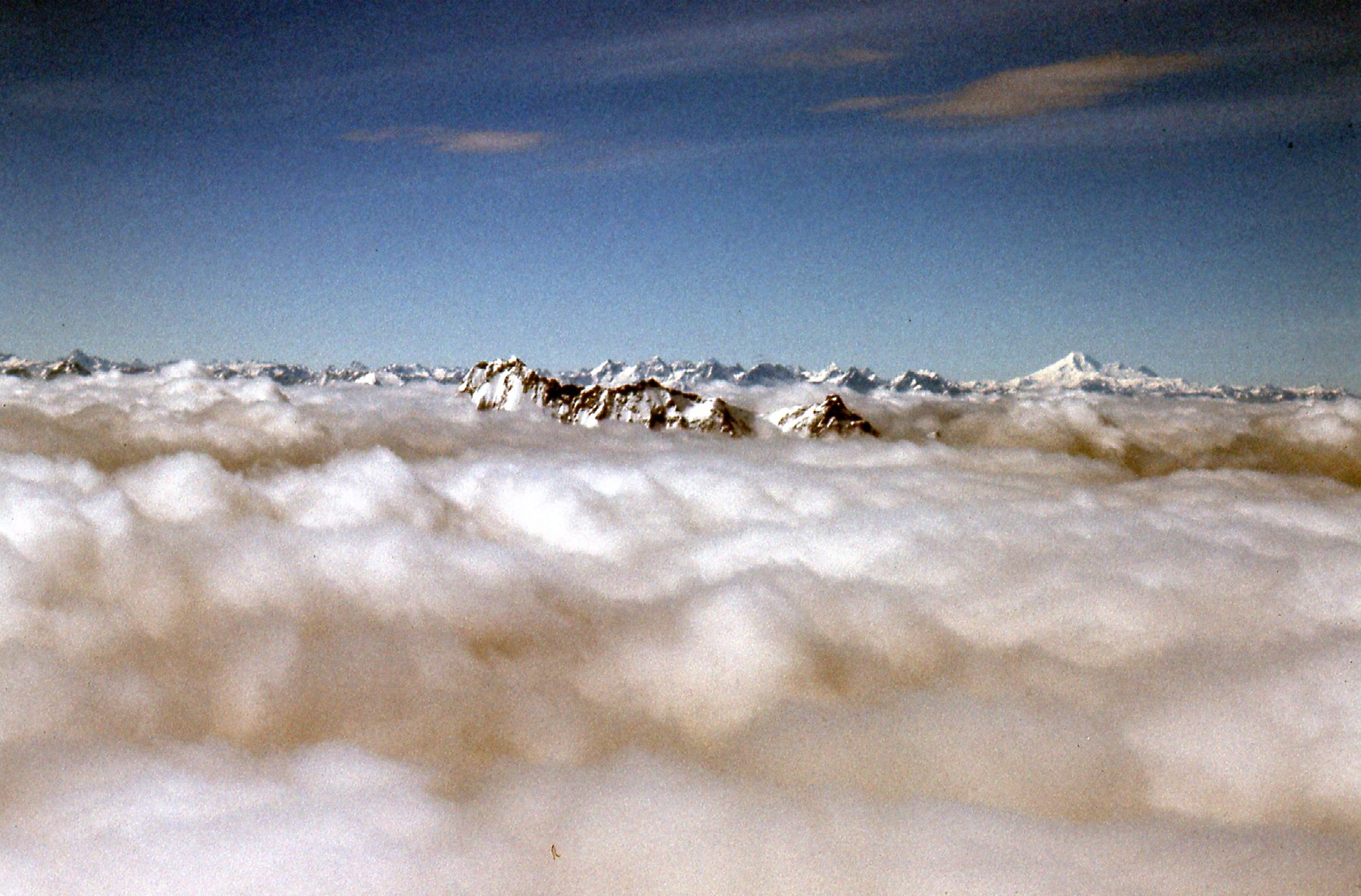
I decided to camp for the night on the snow and tackle the peak in the morning. Here was the view I had of my objective from my camping spot. As I look at it now, it seems so close. In actual fact, the summit was only a mile or so away – I should’ve gone for it.
So near.
Well, the vagaries of Coast Range weather are well-known – clouds moved in and it started to rain overnight. By morning, my chance of climbing the peak had vanished – I couldn’t even see it. I made a soggy retreat – an hour and a quarter had me back at my car, and I was back home just after one in the afternoon. So ended attempt number 2. Score: Urquhart – 2; Desert Mountaineer – 0.
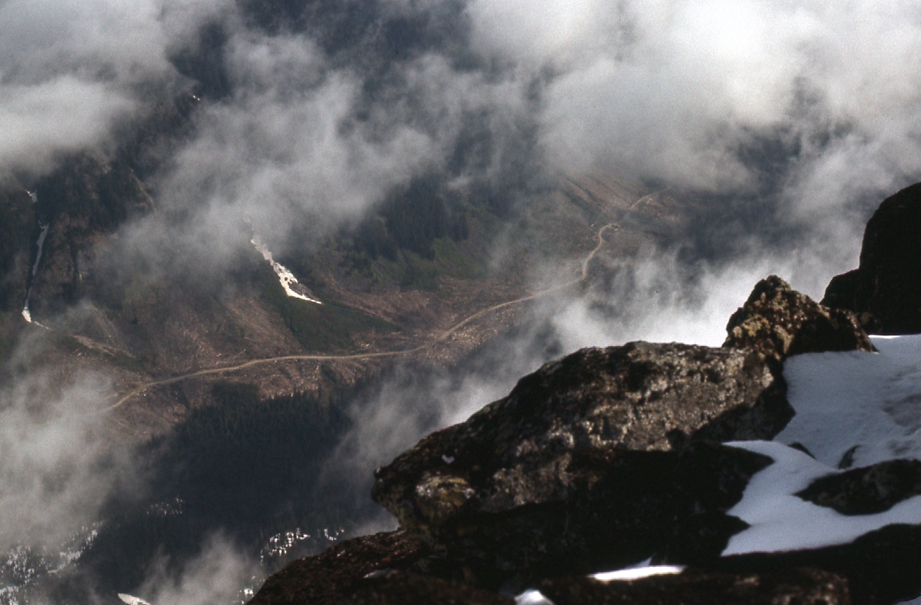
Now I was determined, really determined. Urquhart was becoming a grudge peak, something I simply had to climb. On Sunday, June 13th, three weeks after my rained-out attempt, I decided to try again. I had some business to attend to in Chilliwack, then left directly from there.The weather was a bit iffy, plenty of clouds, but I was hopeful. The highway heads up the Fraser Canyon along the west side of the river, and that was the side I needed to be on. Today I was going to try a different approach to the peak. I drove past Yale, and when I neared Spuzzum I turned west on the logging road heading up Spuzzum Creek. A few miles of that brought me to Urquhart Creek – I followed the logging road up it a few more miles until it ended in a bunch of slash. At this point, I was 12 miles in from the paved highway, but the road was decent all the way. For those of you who don’t know this country, logging roads are always dirt or gravel. They can range from pretty good to just plain awful, depending on whether or not they’re being used by companies still logging the area. Once logging stops, they can go all to hell pretty quickly. I had stopped at around 2,500 feet, in this spot.
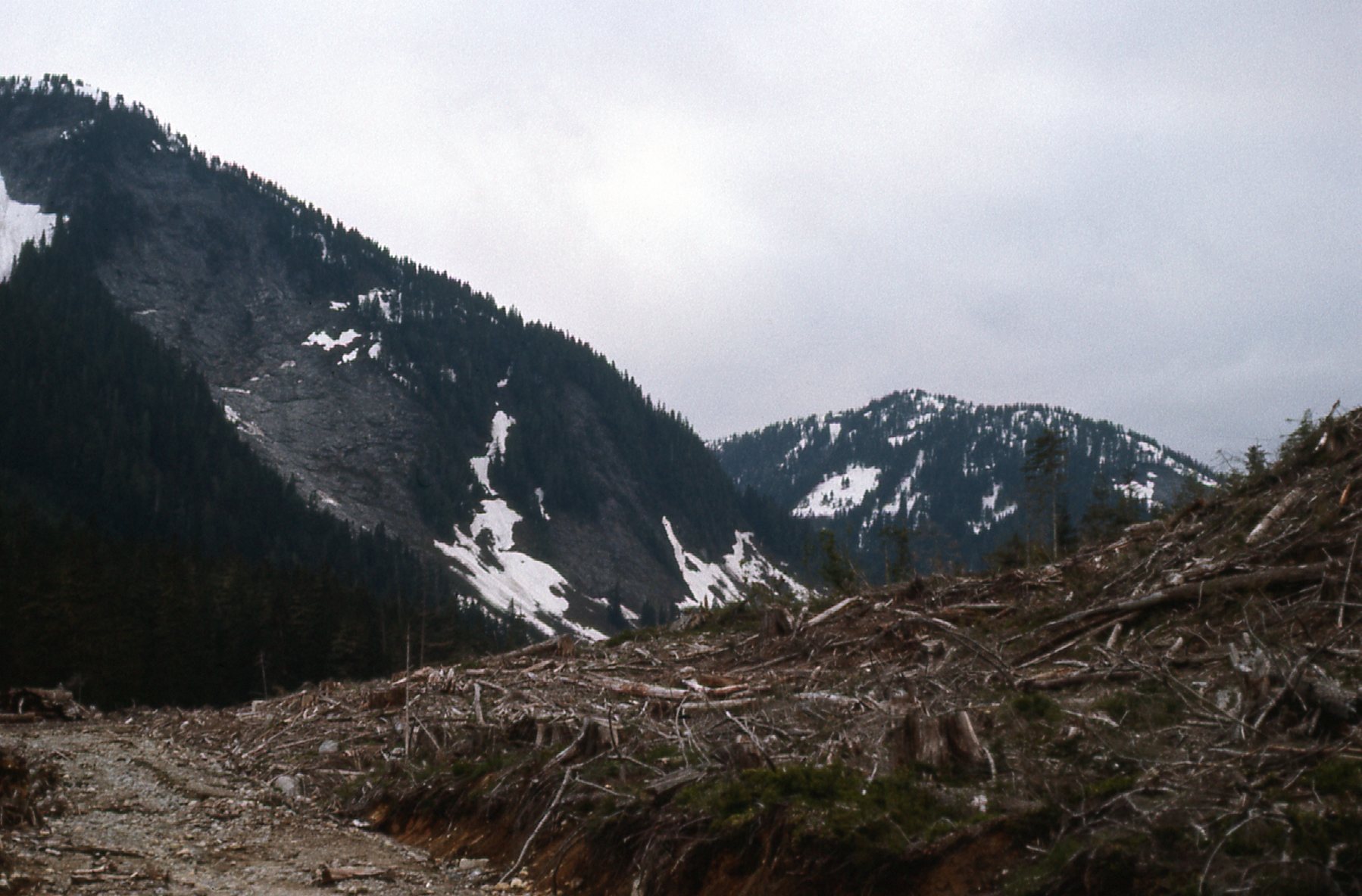
Looking east back down Urquhart Creek in the evening.
It looked like the clouds were breaking up, but there were no guarantees. The clouds were still hanging low on the mountain, and I couldn’t see much of it.
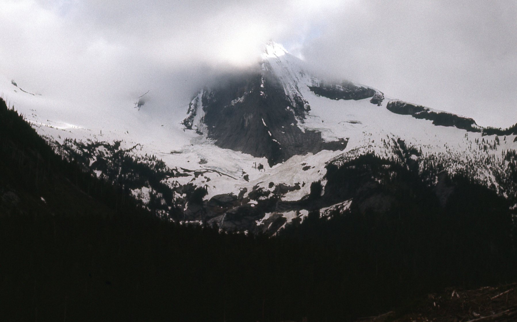
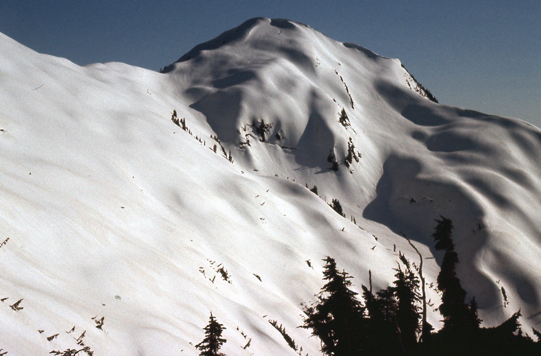
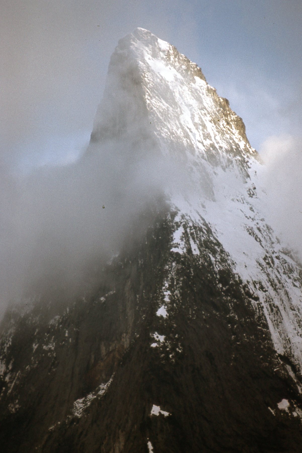
The northeast side of Mt. Urquhart
The clouds continued to lift, and I was starting to get a glimpse of something amazing – it was the northeast ridge.
The northeast ridge.
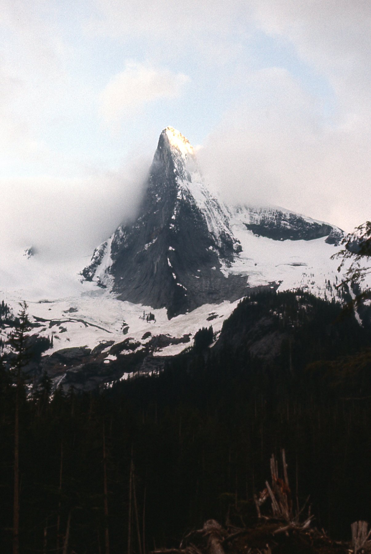
Here’s a telephoto shot I took – the evening sun hitting the summit area gave me hope that tomorrow would prove fair.
A close-up of the upper part of the northeast ridge.
I knew I couldn’t climb the ridge by myself, so it wasn’t even part of my plans – I’d find a different route. That night, I slept in the back of my Volvo station wagon, hopeful of good weather in the morning.
I was moving on foot by 4:20 AM and encouraged by the weather. I had reasonable visibility, and could get a good look around as I climbed. Here is the view I had across the northeast basin.
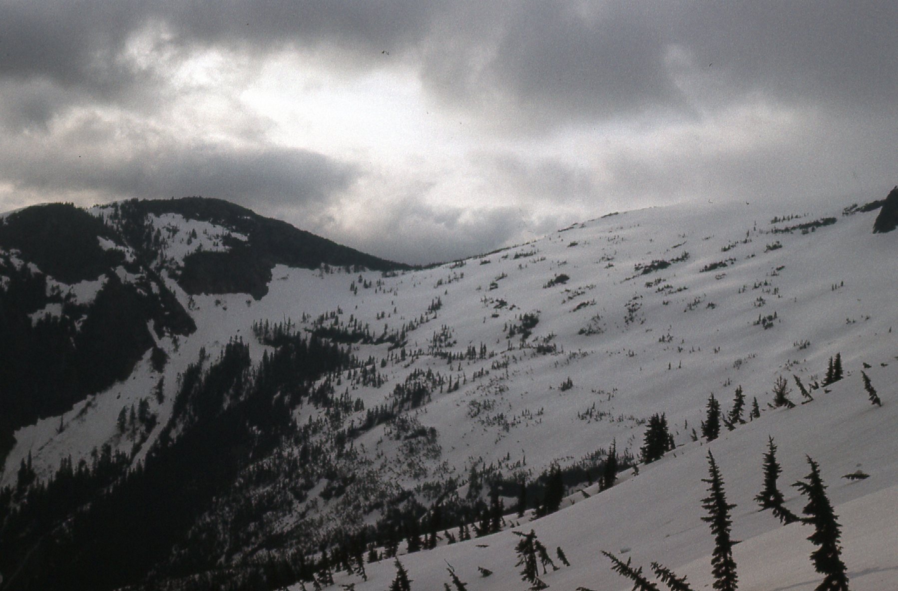
Looking east across the northeast basin.
I kept climbing, moving below the north face and heading west. I figured that if I could reach the west side of the mountain, I’d have a chance on easier ground. Things worked out. See the next photo – I was heading for the flatter area on the right side and higher up. From there, I climbed up the dark rock in the shade, Class 3. It took me 4 1/2 hours to climb from 2,500 feet to the summit at 6,883 feet.
The north face, on the left side of the photo.
On the summit, I found a register in a rock cairn. I was surprised to see that only a week or two before me, a party comprised of Zenger, Kubik, Bates and Saunders had made the first ascent of that beautiful northeast ridge. They had enjoyed 9 roped pitches, the hardest of which was Class 5.6 and an overhanging bit just below the summit. They descended by my Class 3 route. There’s a brief write-up of their climb in the 1976 Canadian Alpine Journal.
In the summer of 1974, a route had been put up the south face. In April of the same year, a party had done the southwest ridge, describing it as an easy snow climb. There is speculation that a survey party made the peak’s first ascent in the 1940s. When I went and climbed it in 1976, it had seen very little activity – possibly 4 parties before me. It is a beautiful peak, no matter how you look at it. It has been described as follows: “It has a prominent northeast buttress, and a huge, steep east face reminiscent, from certain angles, of Half Dome in Yosemite.” In fact, the east face soars 3,000 vertical feet from its base. You can see it really well in this picture I took on my way back out.
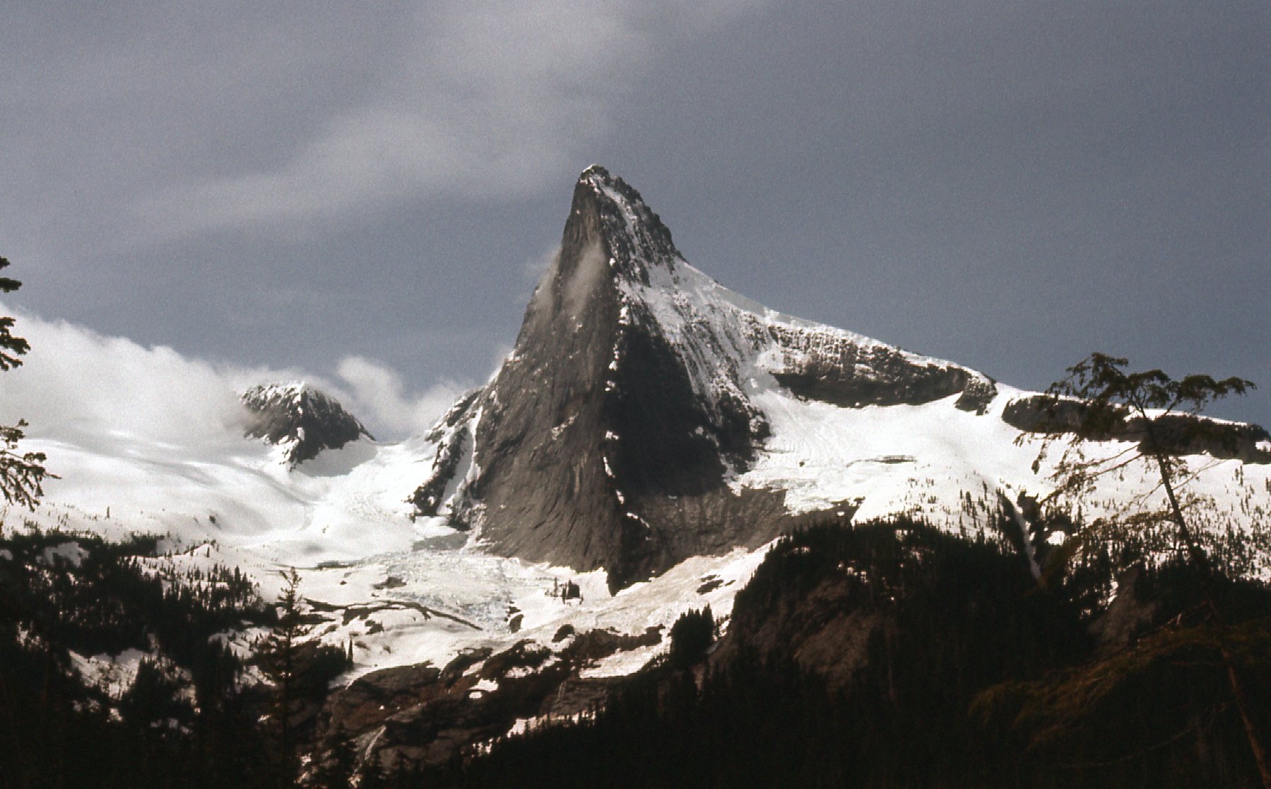
The east face is on the left side of the peak, rising 3,000 feet from the snowfield at its base.
While I was on top, I took pictures in every direction, as is my wont. There are a few I’d like to share with you. This next one is a favorite – it shows Mt. Breakenridge on the left, and closer to the middle is an 8,000-foot peak that Brian Rundle and I would go on to climb on July 31, 1977. It has since had the name “Traverse Peak” dropped on it, and we are widely regarded as having made its first ascent.
Looking northwest to Traverse Peak, 16 air miles away
And here’s another good one – we are looking south, and that’s Mount Baker on the right, the big white one on the far horizon. But I also direct your attention to something else – right in the middle, just past the clouds, is a dark brown ridge with lots of snow on it. That’s a mountain with the really cool name of “The Old Settler”. It’s only 8 miles away, and would come into play less than a month later.
The Old Settler
Here’s a look down the north side.
A look down the north side.
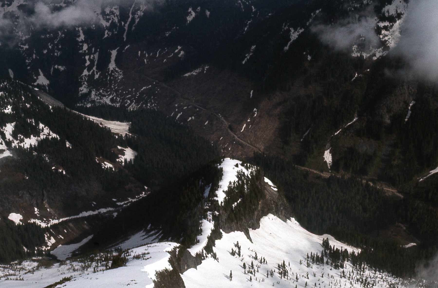
And one more, a look down to the logging road on the northeast side. My car is parked down there, about 4,400 vertical feet below.
Down to the road in Urquhart Creek.
I signed in to the register, then re-traced my steps back down to my car. Making decent time, I was done by 10:20 for a round-trip time of 6 hours. Once again, here’s that last look back to the peak. My route went up the long ridge on the right side on the snow at the skyline, then up the rock on the right side but around back out of sight.

Looking southwest to Mount Urquhart
It was a great climb, and it’s nice to know I was one of the earlier climbers to go there. I think access has improved on the south side and I’m guessing it’s a popular spot to visit all these decades later.