
This is another of those climbs I’ve touched on in the past, but sadly had no pictures to illustrate the story. That has now changed, with the finding of a treasure-trove of photos that I long thought were lost. So, without further ado, let’s go and explore this beautiful area.
Two guidebooks that cover the far southwestern corner of British Columbia both mention a peak that is higher than all of the others. Dick Culbert’s pioneering book, “Alpine Guide to Southwestern BC” and Bruce Fairley’s “A Guide to Climbing and Hiking in Southwestern British Columbia” both mention that Skihist Mountain is the highest peak within their pages. When Dick’s book came out in 1974, it got a lot of us thinking about peaks out there that we should be visiting and climbing, including Yours Truly. It was pretty hard to resist the lure of such a peak, so I went out and bought the map sheet that covered the area and started planning.
Skihist Mountain stands 9,738 feet tall, and has a whopping 8,081 feet of prominence. That translates to the 38th-highest prominence of all peaks in North America. It sits in the Cantilever Range, which is a part of the Lillooet Range, which in turn is found in the Coast Mountains. According to ethnologist James Teit, writing in 1917, the word skihist means “jump” or “leap” referring to a giant in mythological times who leapt back and forth between this summit and Akasik Mountain, which sits about 6 miles to the northeast. The British Columbia Place Names book says it is from Sk-haest, meaning “peak between two ridges”.
It’s in a fairly remote area, unsullied by the hand of man, so I expected to find a beautiful peak in a beautiful area. On September 7th, 1975, a Sunday, I set out from my home in the town of Mission. I was driving my old VW Beetle, and I headed east, then north up the Fraser Canyon to the village of Lytton, population about 200 souls. This was a 125-mile drive, and since I didn’t leave home until the late hour of 7:15 AM, the day was wearing on by the time I arrived there. Lytton held the distinction for many years as the hottest place in Canada, having reached 112 degrees F. or about 44.4 degrees C. On July 1, 2021, Lytton endured an awful heat wave, reaching a new Canadian all-time high temperature of 121.3 degrees. Shortly afterward, the town burned to the ground.
About 2 miles north of town, there’s a free government ferry which crosses the mighty Fraser River. It’s an on-demand ferry, so if you pull up to the landing on either side of the river, the ferryman will see you and cross the river to pick you up. It is of a type called a reaction ferry, which means that it uses the reaction of the current of a river against a fixed tether to propel the vessel across the water. A ferry like this operates faster and more effectively in rivers with strong currents. This particular one uses an overhead cable and a traveler. Vehicles cannot exceed a total of 12 meters and 9 tonnes GVW, and the ferry will take up to 18 passengers. The crossing takes 5 minutes. The river is 500 feet wide at this point. I used this ferry many times over the years, and I always thought it was very cool how there was no motor involved, just the current of the river rushing past. Here’s how it looked in 1975.
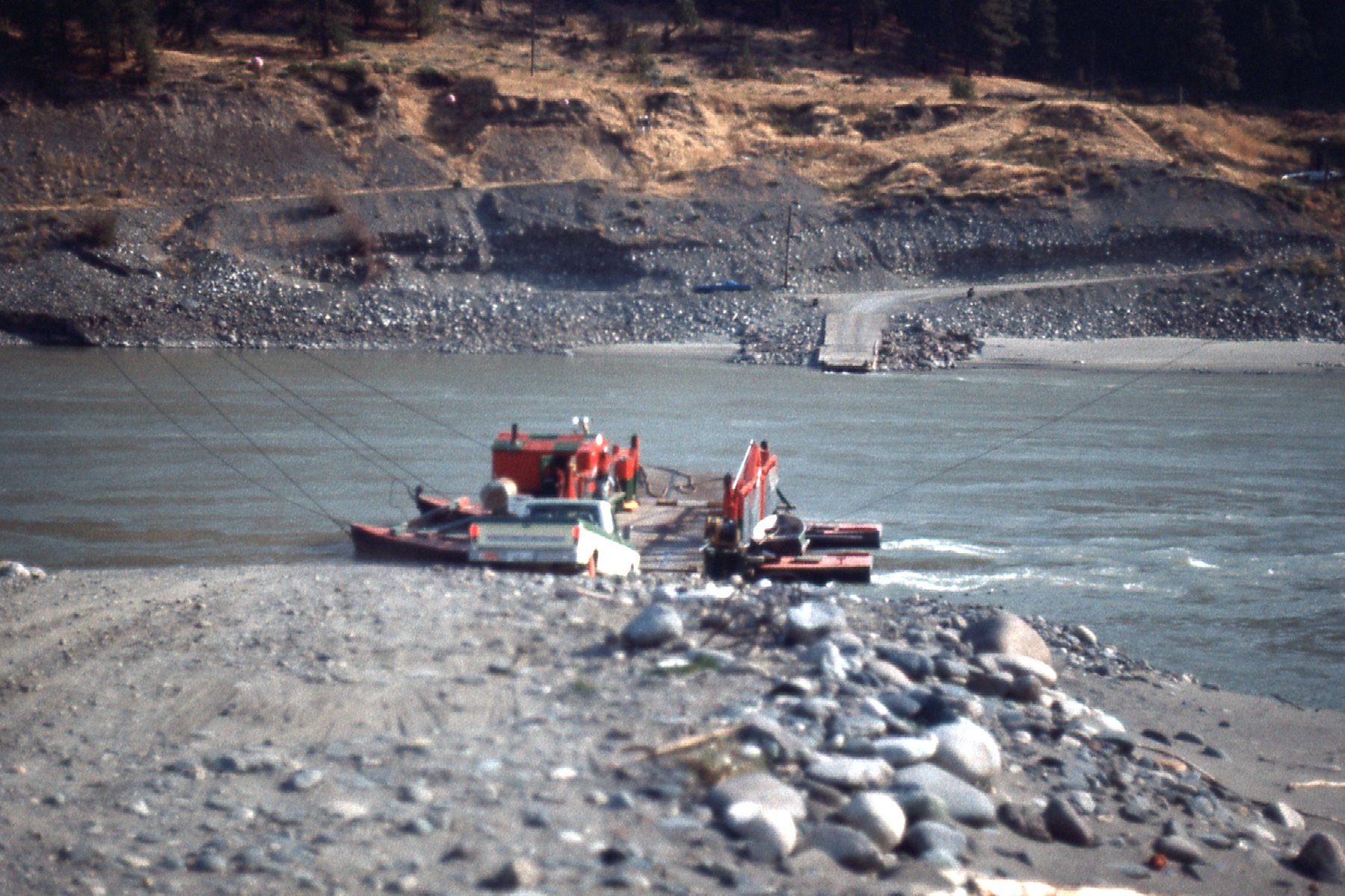
The Lytton ferry.
Once safely across the river, I drove south on a dirt road down its west side for several miles before turning west and driving up the valley occupied by Kwoiek Creek. This word is pronounced KY-EEK, and it is from a Thompson indigenous word meaning “gouged out”, referring to a large chunk missing from the canyon wall. By the time I had driven to the end of the old logging road, I had gone 14 miles from the ferry. On the drive in, I had this view of a peak known as Kwoiek Needle, elevation 8,600 feet.
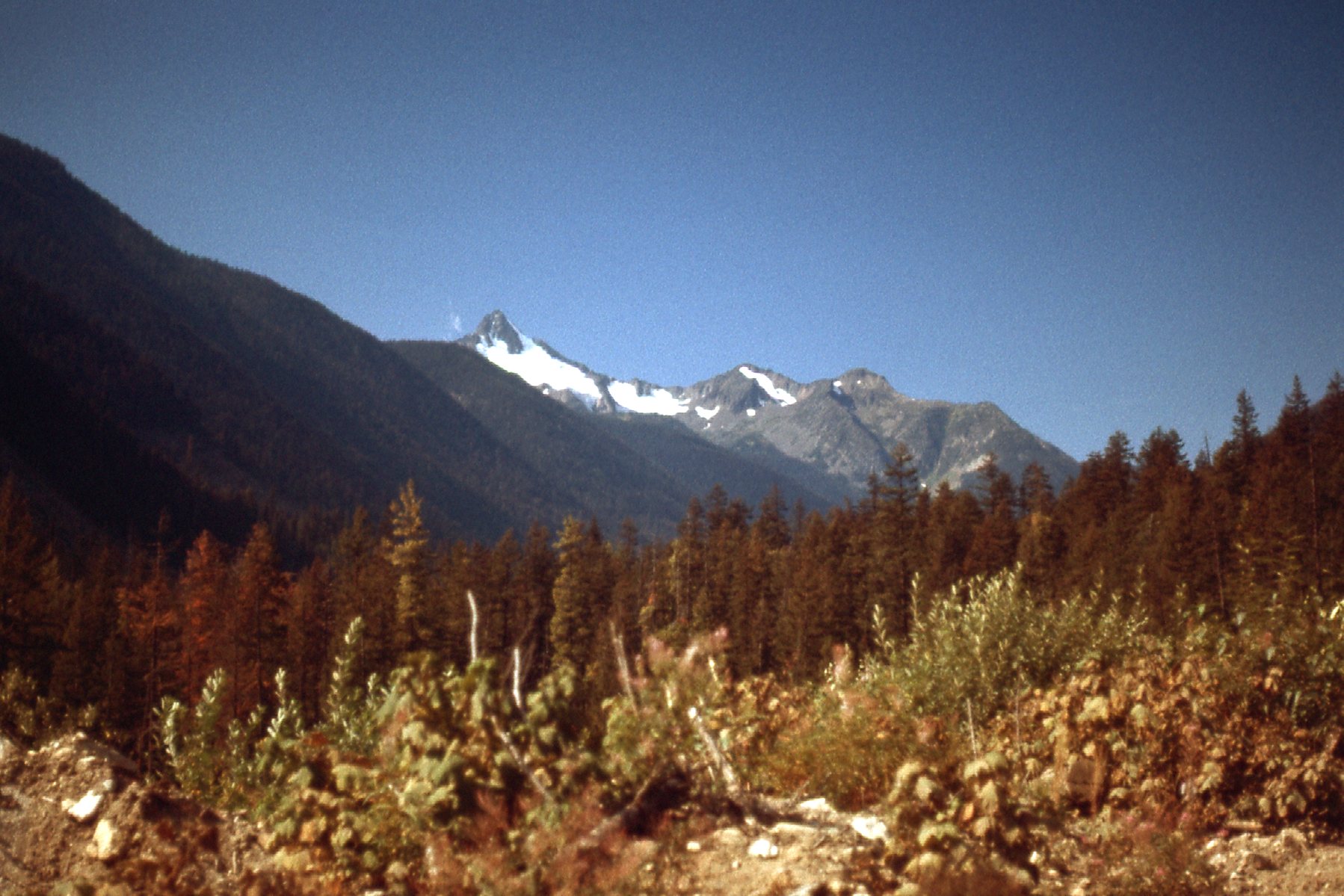
Looking east to Kwoiek Needle
I mentioned earlier that I was driving my old VW Beetle, which I had bought only 2 years earlier. When I first got the car, it was the prettiest thing you’ve ever seen, a nice root beer color, two-tone. I got it from a friend who was really proud of it, and I have to admit it was a lovely car. Now, a scant 2 years later, I had beat the living daylights out of the thing by driving logging roads to get to climbs. It was all dented, and heavily pin-striped from branches raking the sides as I drove through tight spots. I carried a pair of large tin snips with me, so that when fenders got bent from hitting rocks, I could cut off the offending piece of the body so it wouldn’t shred the tire. To sum up, the poor car was a mess, and now so ugly that nobody who ever saw it parked would think of stealing it. I never worried about the car, no matter how long I left it parked in a remote area.
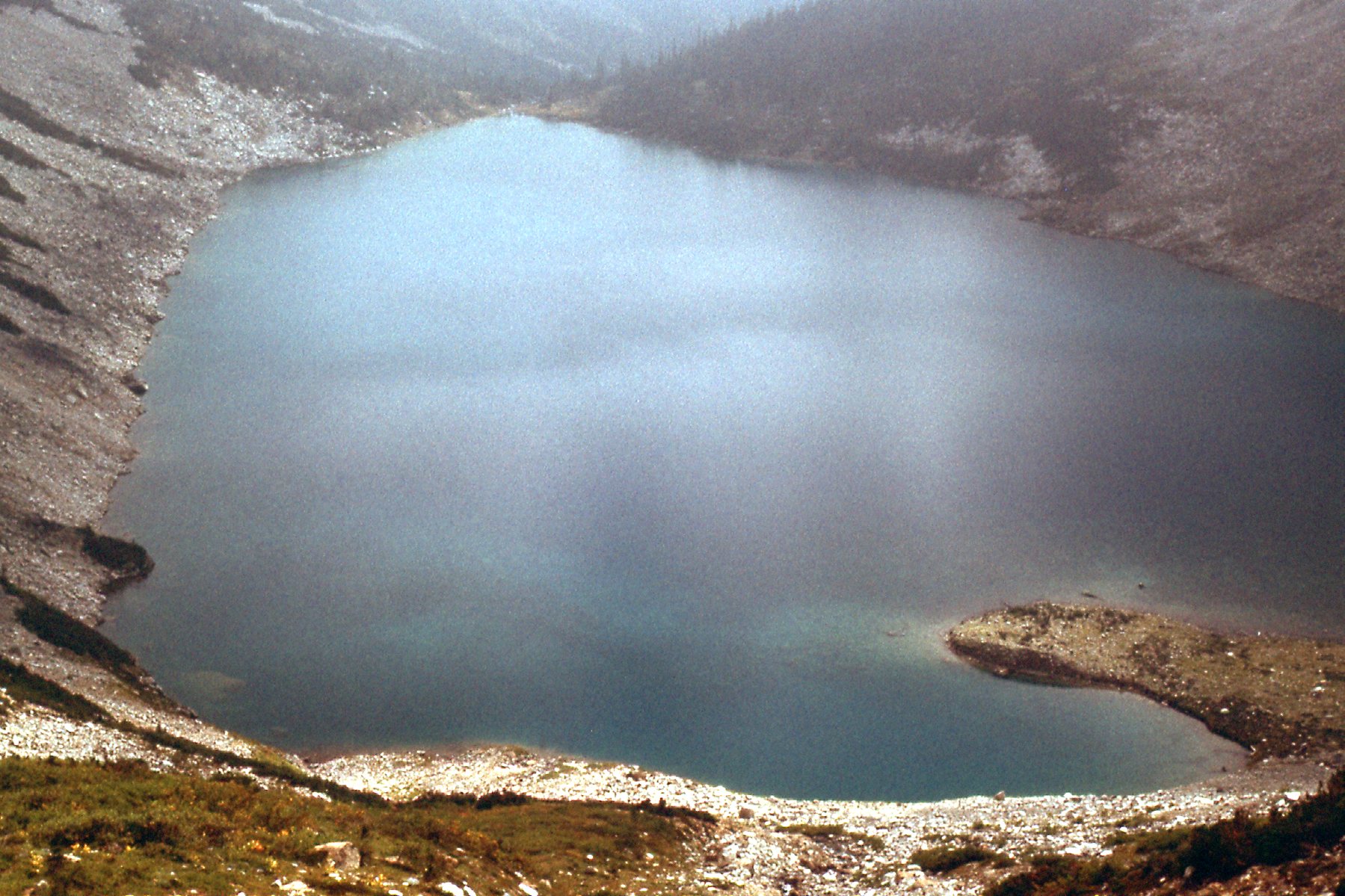
By the time I reached the road’s end and started on foot, it was noon. Old accounts told of a trail that went from this area on up to a lake at tree-line, but I couldn’t find it. It was fairly brushy over much of this first part of the climb. I had parked at around 3,700 feet and it took me five hours with a full pack to reach Blue Lake at 6,135 feet. There was some bushwhacking involved in that climb of almost 2,500 vertical feet. This next picture shows that part of the climb.
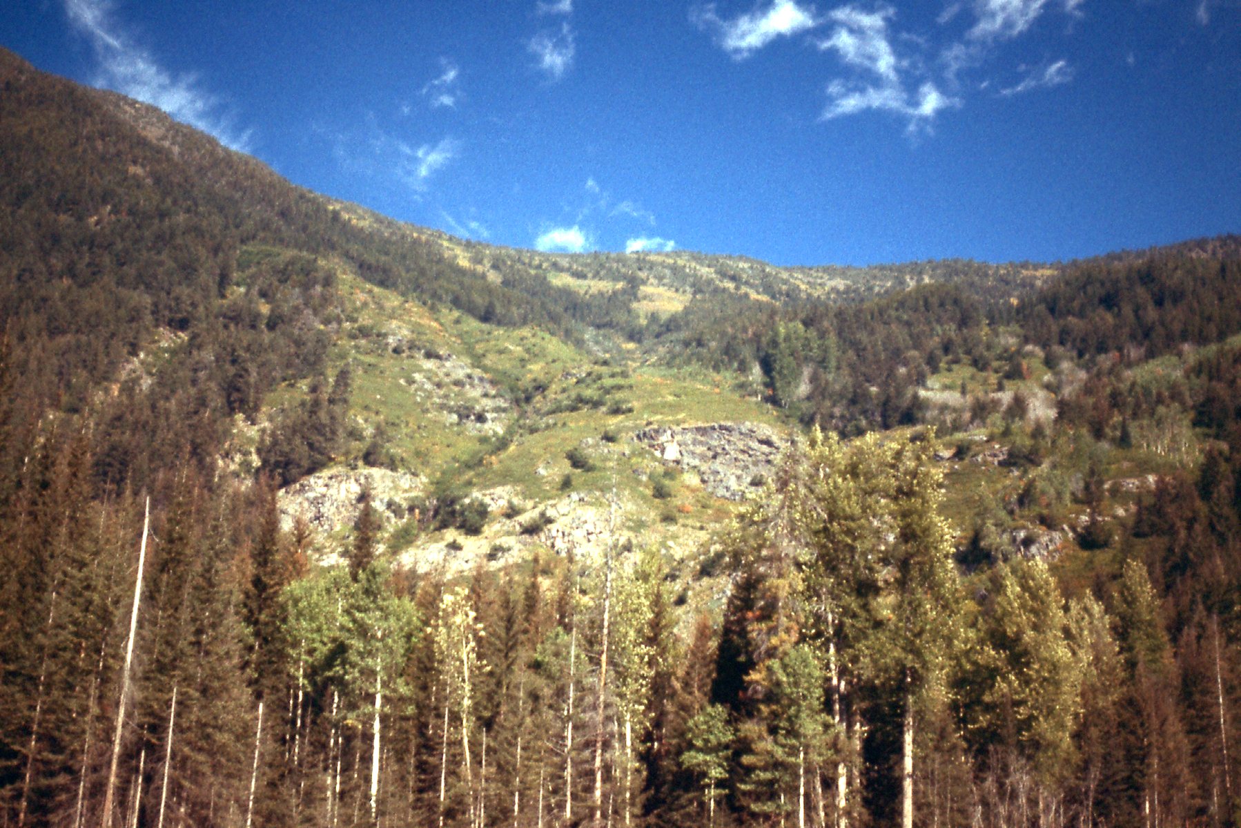
The climb up to Blue Lake.
Blue Lake is called Antimony Lake nowadays, and appears as such on modern maps. I was really beat by the time I arrived at the south end of the lake, right at tree-line. This is where I laid my sleeping bag – no tent, just a rough bivouac.
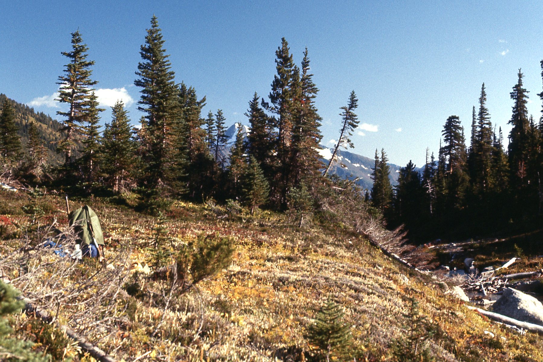
At the south end of the lake.
I turned in early and got a good night’s sleep. When I awoke, there was frost on my sleeping bag. I grabbed a bite to eat and then set out with a light day pack, leaving my gear where it was – I wasn’t worried about anybody coming by and messing with it. Maybe things are different nowadays, but I’d like to think that the ethic among climbers that existed 45 years ago is still practiced today. The first thing I needed to do was to climb up to a pass just north of Antimony Peak. That took me from my camp at 6,135 feet all the way up to 8,300 feet. To do this, I followed the west shore of the lake, then climbed northwest right up to the pass. It was all open ground and easy going – the climb of 2,165 vertical feet took 2 hours, putting me on the saddle at 8:30 AM. There was a lot of snow on the way, and I could make good time.
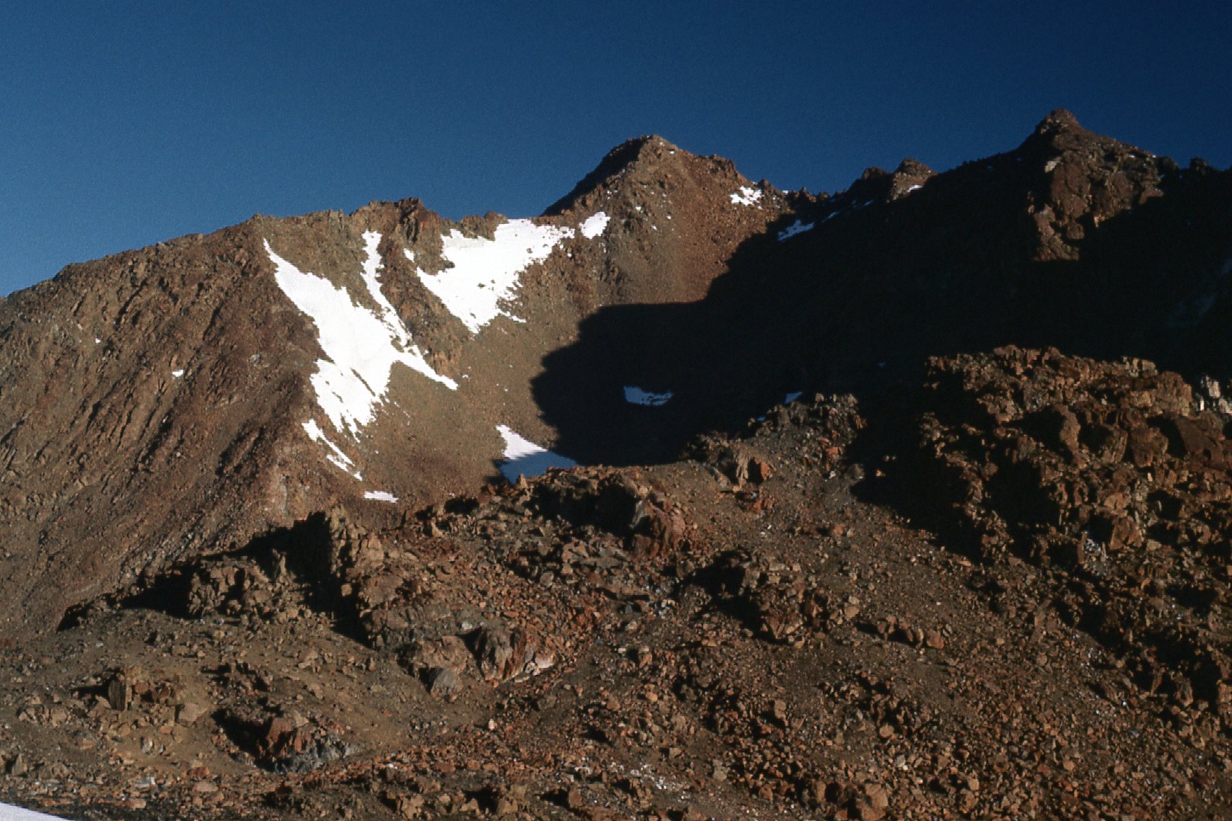
Looking up at the north side of Antimony Mountain, elevation 8,700 feet
There’s a peak north of Antimony, along a ridge. It’s called Claimpost Peak and it is also 8,700 feet elevation. Here is my look at it from the south.
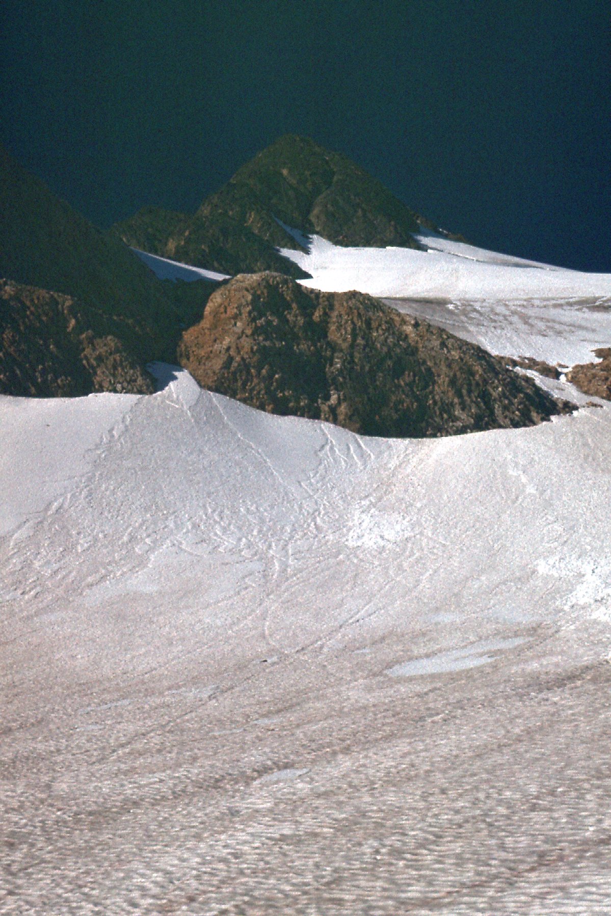
Looking north up to Claimpost Peak.
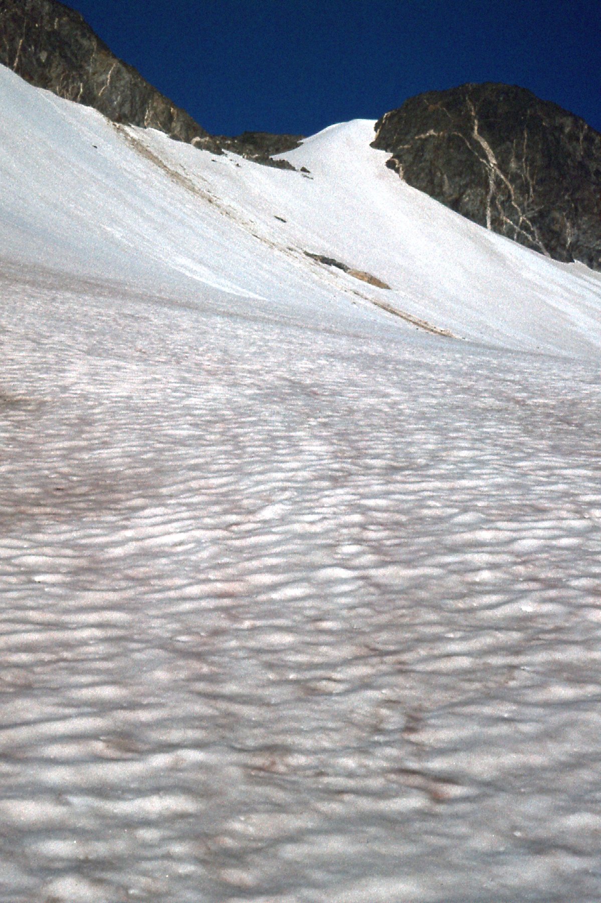
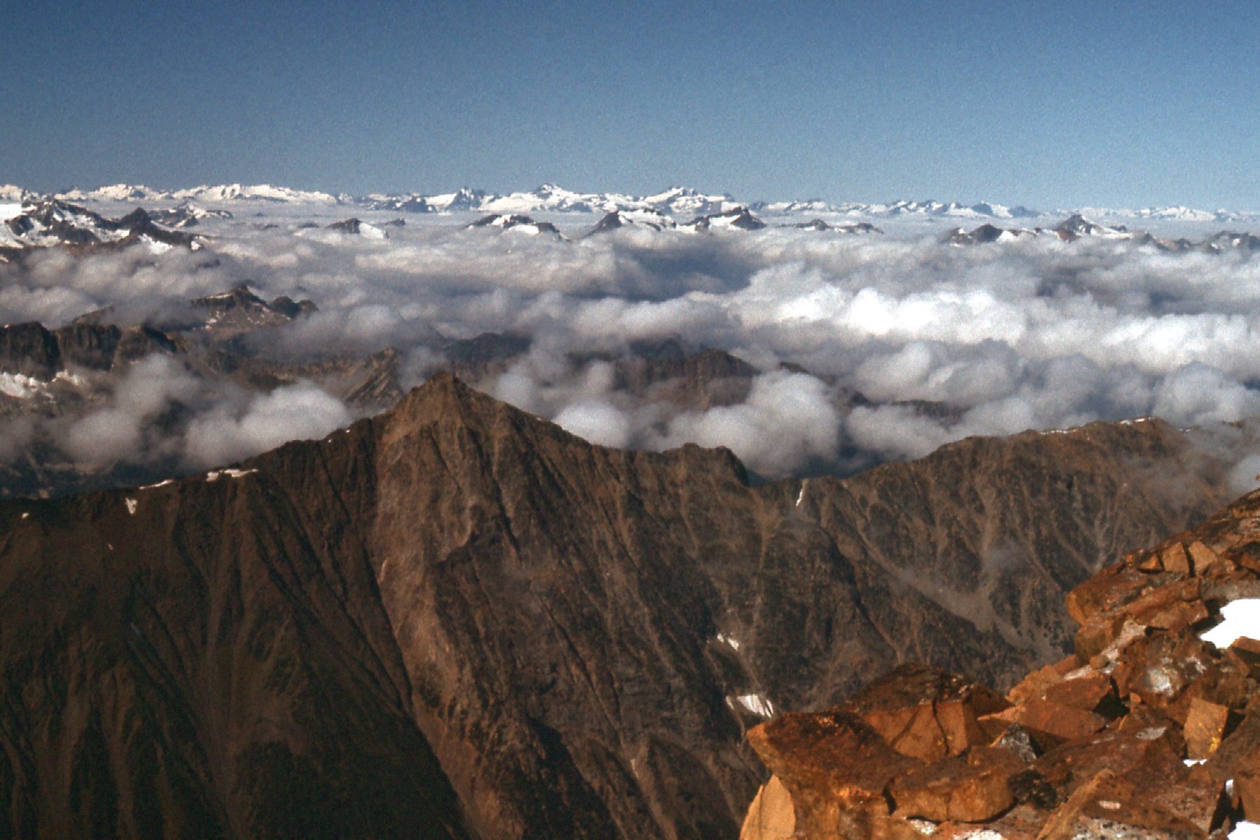
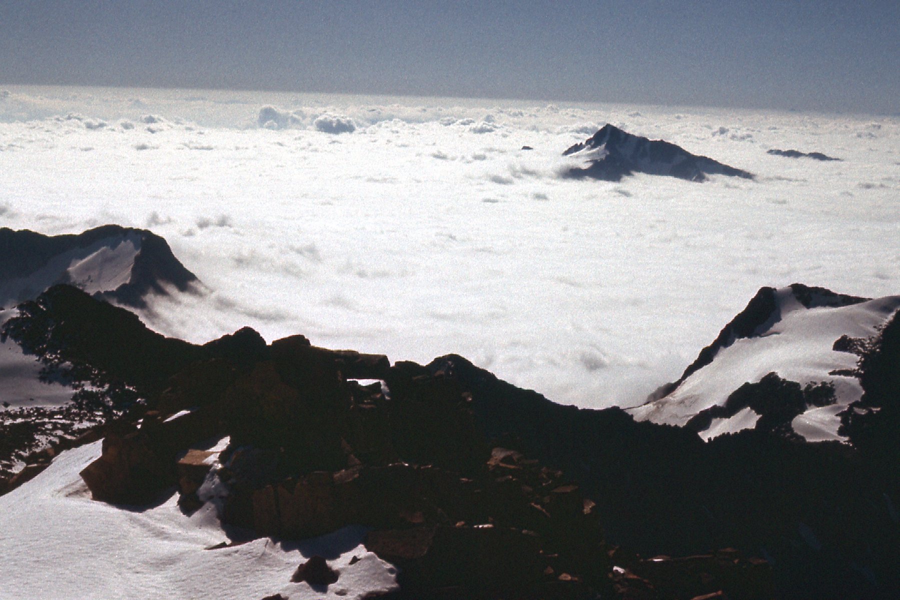
When I reached the saddle at 8:30, here is what I saw, a good look over to Skihist.
Looking north-northwest to Skihist.
I wish I could have kept all of the elevation I’d already gained, but alas, that was not to be. In the above picture, between me and Skihist was a deep valley where sat the head of Nesbitt Creek. You can’t see the valley bottom, but I had no choice but to drop over a thousand feet to reach it before I could start the final push. It was 2,500 vertical feet from the creek to the summit, much of it across scree slopes. There wasn’t anything difficult about this last stretch, I just had to put in the time. At 10:30 AM I stepped on to the summit of Skihist Mountain, elevation 9,750 feet. It felt good to stand atop the highest peak in the guidebook, just after my 28th birthday. Ah, youth – if only we could preserve it forever – how I wish I were still that fit! There have been many famous sayings written about climbing, but this one by Hilaire Belloc is simple yet profound and is one of my favorites.
“There was a shepherd the other day up at Findon Fair who had come from the east by Lewes with sheep, and who had in his eyes that reminiscence of horizons which makes the eyes of shepherds and of mountaineers different from the eyes of other men.”
The views from the top were outstanding, and getting these is one of the reasons I climb. Standing on a summit has always been a very spiritual experience for me, going all the way back to 1962. Let me share with you here what I saw that day.
Here I am on the summit, in this view looking north. You can barely see my footprints in the frozen snow.
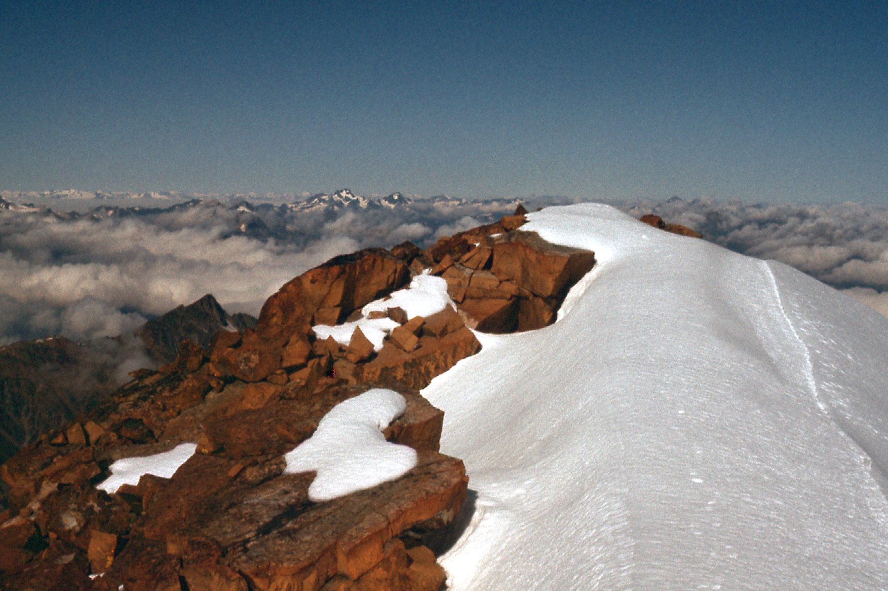
A look north.
Next, our view swings around so we are looking more to the northwest. The snowy peaks of the Coast Range come into view on the horizon.
Looking northwest
How about a look to the west?
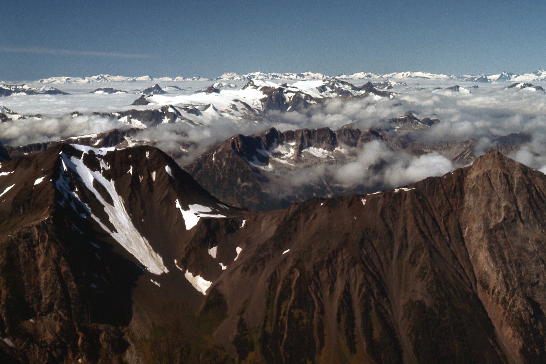
More peaks.
Our view continues to swing around, now more to the southwest.
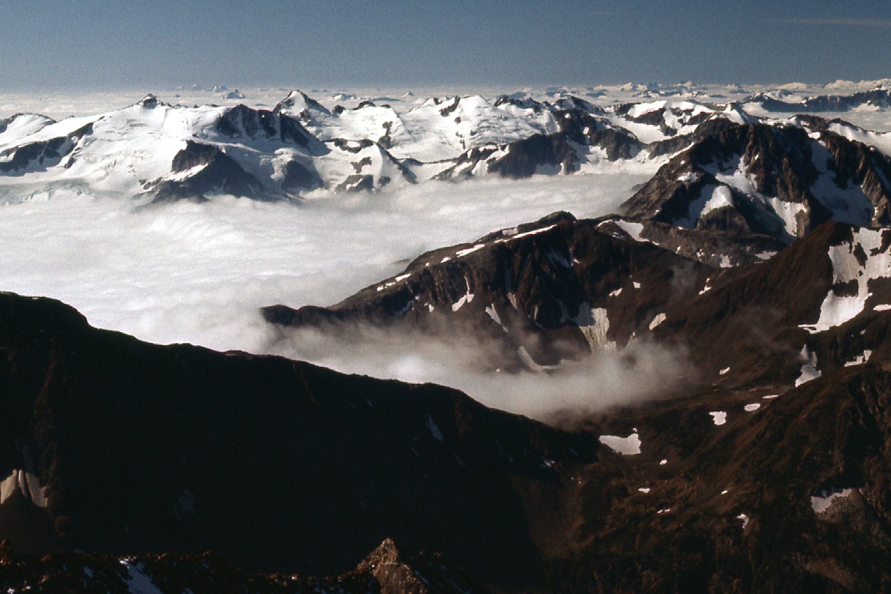
Southwest
And how about this one, looking south. If you look carefully, you can see Mount Baker, about a third of the way over from the left edge, way out there on the horizon. It’s 100 air miles away. It’s faint, you have to look hard to see it.
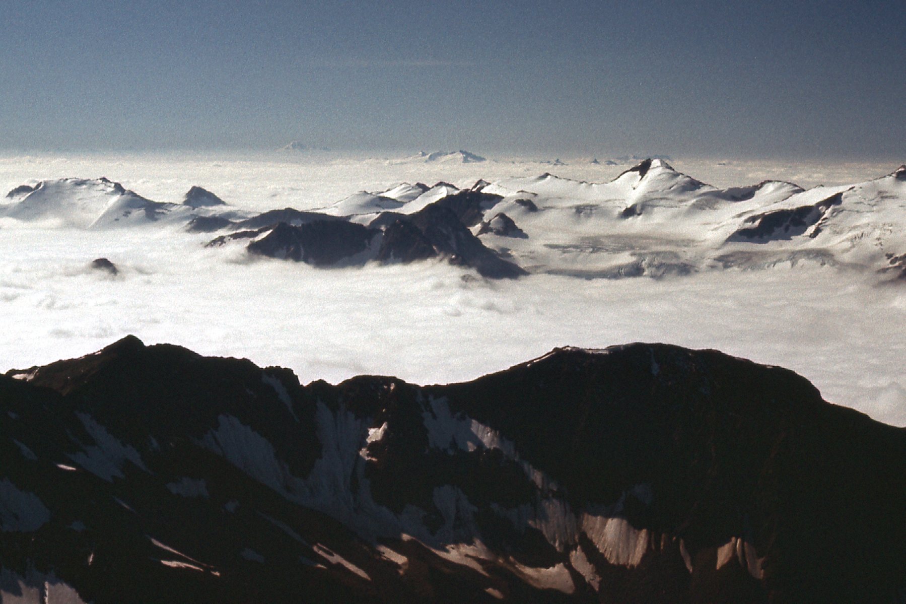
Can you see Mount Baker?
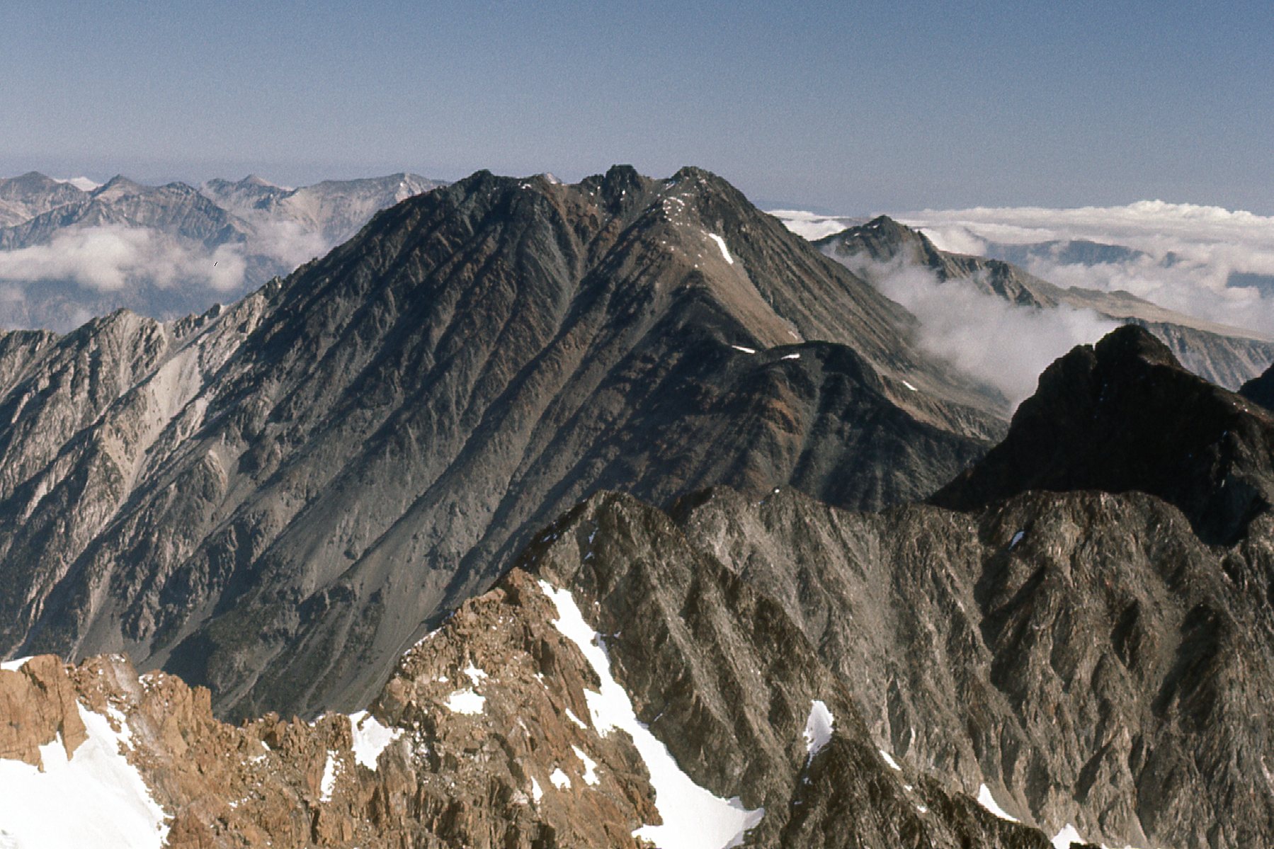
And now for this one, to the southeast – I think that’s Kwoiek Needle sticking up through the clouds.
Maybe Kwoiek Needle.
One more – only 2 miles to the northeast sat Petlushkwohap Mountain. The name is quite a mouthful – I don’t know the meaning, but it sounds Aboriginal in nature.
Petlushkwohap Mountain, 9,700 feet elevation.
As much as I would’ve loved to linger, you can plainly see there were clouds moving in and filling the valleys below. It was time to skedaddle, and I made it all the way back to my gear at the lake by 12:45 PM.
Looking south down Blue Lake – my gear is at the far end.
Much to my surprise, when I started down from the lake, I actually found the trail that I couldn’t find on the way up. It helped a lot, taking me through a couple of alpine meadows and some lovely country.
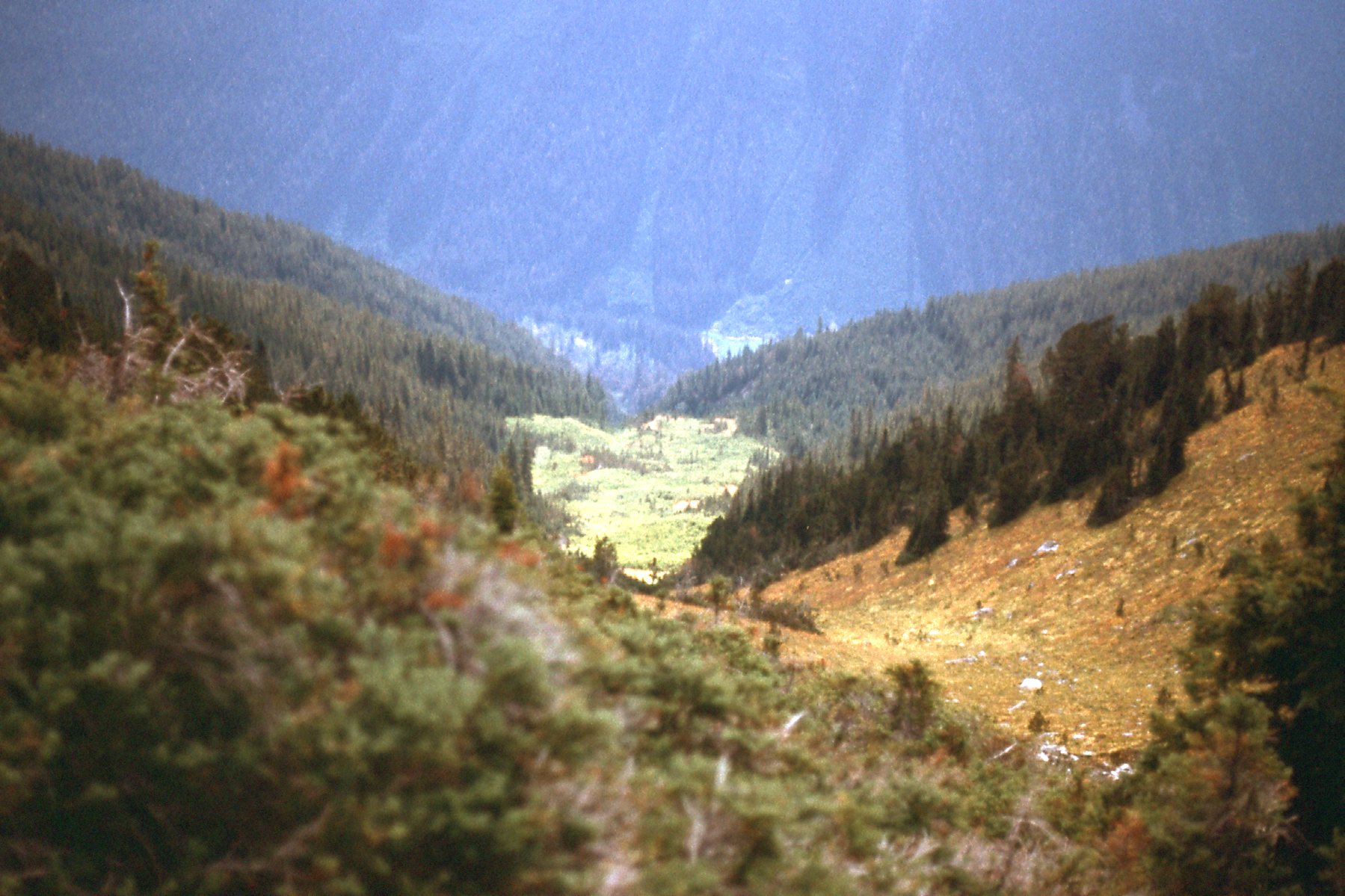
Looking down while on the trail.
It was 4:30 by the time I got back down to the car. After I had driven the miles down Kwoiek Creek to the Fraser River, I was feeling somewhat adventurous. Since I wasn’t in any hurry, I decided to drive 30 miles down the west side of the river on dirt roads to reach the village of North Bend. I wanted to do this because that route offered a unique experience. Directly across the river from North Bend sat the community of Boston Bar, which was on the main highway. Prior to 1940, the only way to get across the river to North Bend was by boat. Then they installed the North Bend Aerial Ferry in March of 1940 to transport vehicles and people more conveniently. A gondola car capable of holding a single motor vehicle or 40 passengers was carried on two steel cables 1,200 feet across the river. In its years of operation from 1940 to 1986, the North Bend Aerial Ferry carried 2,037,579 vehicles, 6,092,434 people and made 1,610,789 round trips. The aerial ferry was in operation until 1986 when it was replaced by a bridge, but during the 46 years of its operation, it was the only aerial automobile ferry in all of North America. Here is the picture I took of it – it’s the blue cage-like affair in the bottom of the photo. You can see a bit of the river in the lower right, and the highway slicing across the photo in the upper half which is over on the Boston Bar side.
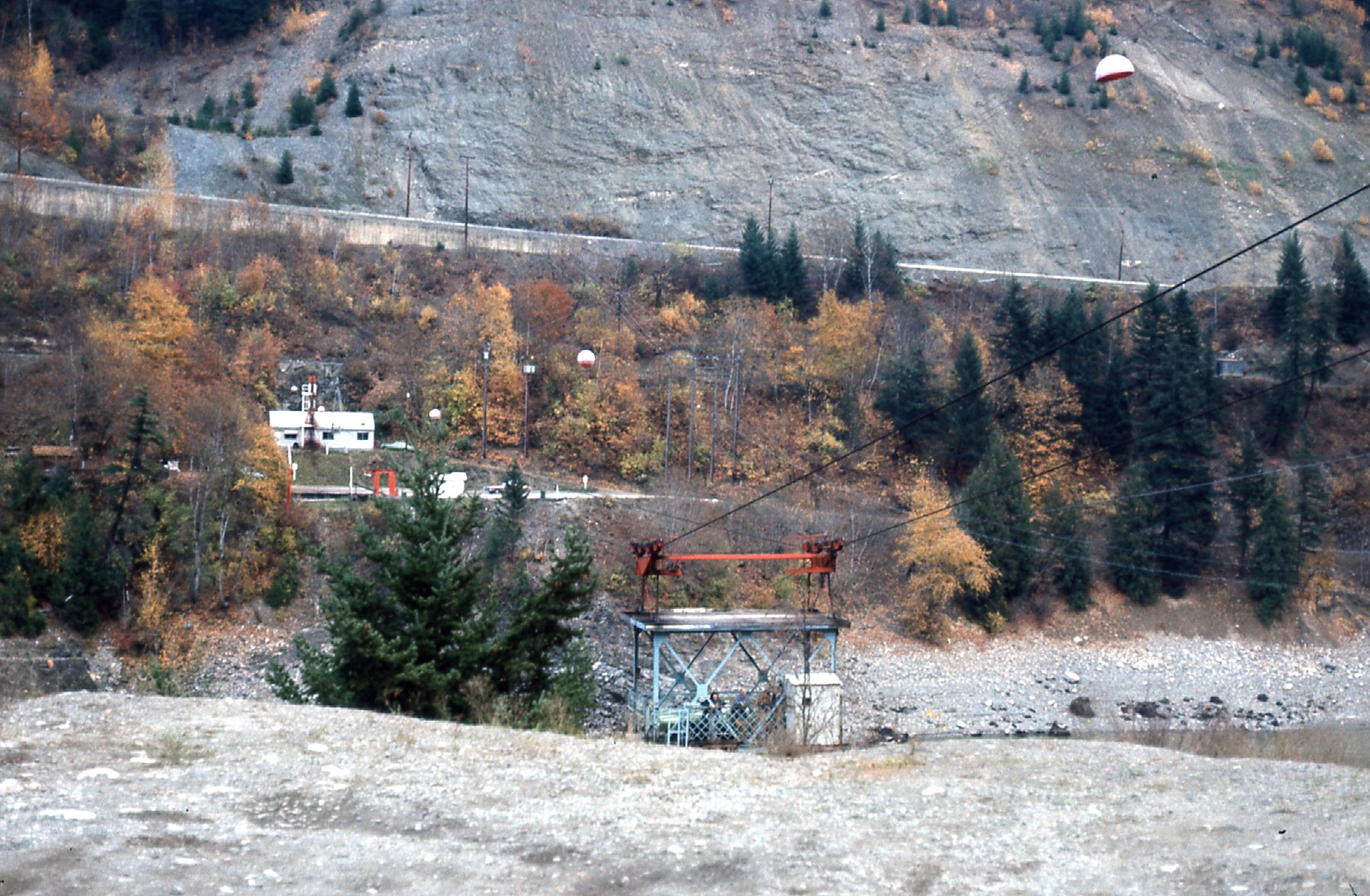
The aerial ferry
You drove up a short ramp into a big metal cage. The ferryman locked a gate behind your vehicle, then with a lurch the gondola swung out on the cables and made its way high over the river to the other side. I used it several times in the late 1970s, and it was always a very cool experience.
I drove the rest of the way on paved highways, arriving home by 9:15 that night. In retrospect, an investment of only 38 hours for the entire trip, driving, sleeping and climbing, was a pretty good return for the time spent, bagging an ultra-prominence peak in the process. I think back on that trip as being in a very beautiful area and am really glad I did it.