
Not long ago, I published a story on this site called “The Middle of Nowhere”. If you haven’t already read it, please do so now in order to get the most out of this story. You can read it here:
The reason for reading that previous story is that it contains a description of Area 3, and the story you are about to read also deals with Area 3. In the previous story, I encroached on that area and climbed some peaks there in a piece of untouched wilderness. That was all good and well, but now I present to you a tale of an even-more- outrageous climbing trip in Area 3. I’ve also hesitated to publish this one for 6 years, but my feeling now is that I’m old and I don’t care who knows I was in there. They can come and get me if they want!
It was a week before Christmas and we were deep into our cooler winter weather. In case you’ve never been here, the low desert in winter is the perfect place to be climbing. Daytime temps are in the 60s and 70s, and of course practically every day is a blue-sky day for the better part of 6 months. There were some peaks that needed climbing, and I knew nobody had been up them because they sat squarely in a part of the military bombing range where no one dared to tread. Now it’s one thing to sneak into the range and climb where you’re not supposed to, but entirely another to go into a zone where the military is actively doing stuff on a daily basis and you’d be right under their noses – those are the best days ever!
I would start by parking on the side of a remote road at an elevation of 1,520 feet. That road was so little-traveled that if your vehicle broke down, you could wait weeks for anyone to pass by. The military didn’t drive it, and the range police never patrolled that far in. The only people who would ever venture out there were climbers, and even they were afraid to go there because of the bombing activity, so that left only me – I had the place to myself! It felt like I could climb with impunity, but even so I didn’t dare get caught, or there’d be holy hell to pay.
There was a high, thin overcast when I set out just before eight in the morning. The route I had chosen was meant to give me the maximum amount of cover. I’d follow drainages that were closed in tightly by low hills rising 100 to 150 feet above me. Yes, those hills shielded me well, but the downside was that I could never see very far. Any landmarks in the area were hidden by those same hills. I needed a way to place myself precisely on the map at all times. This was before I had learned of those apps you can have on your phone which show your exact position at all times, and which can also draw a line showing the exact route you’re traveling so you can trace it back out when you return. What I’d do instead today would be to mark a series of waypoints on my GPS on my way in – I could follow them back out like a series of breadcrumbs. It was more time-consuming, but it would still work. Normal orienteering with map and compass just wouldn’t work here until I cleared the low hills and got out in the open or up on mountaintops.
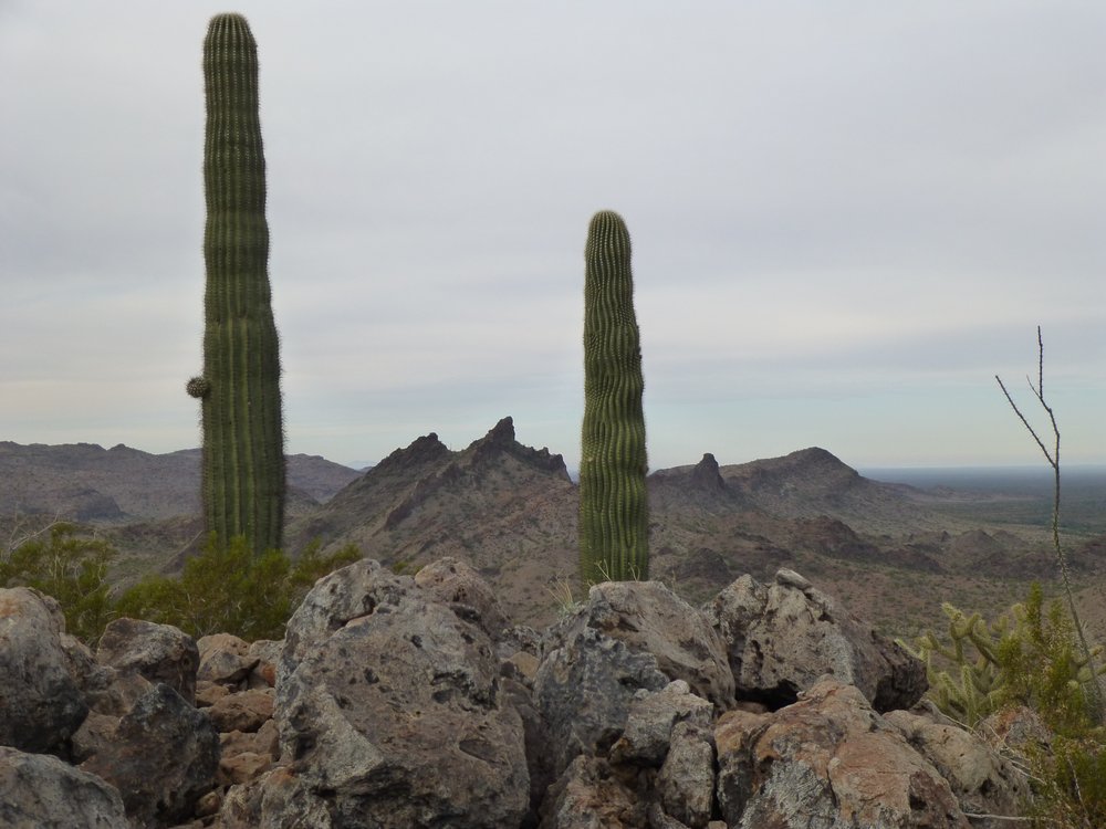
It took me almost 2 full hours in the hill country to reach my first peak, but there were a few curiosities along the way, like this saguaro cactus eking out a living in bedrock.
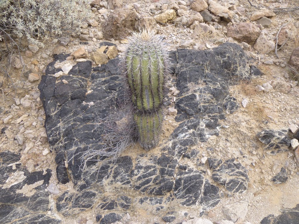
One tough saguaro.
And this curious thing – did it fall from the sky? – it was miles from any road.
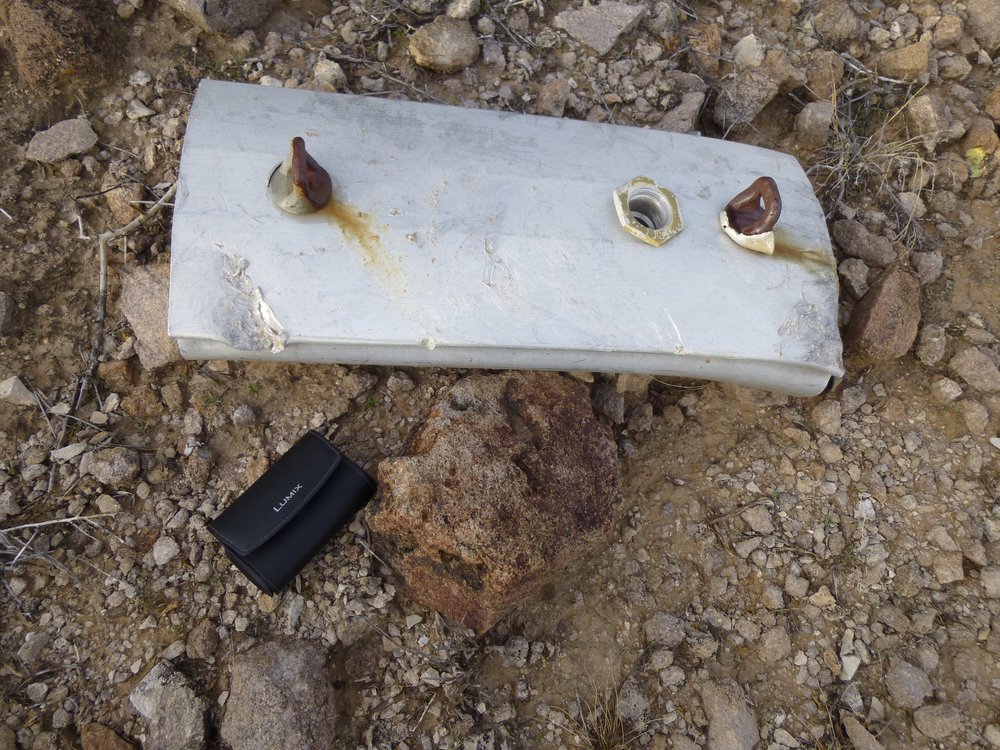
What’s this?
And this, a parachute flare. The metal thing is an aluminum tube which contains the magnesium or whatever chemical they use. At the top of the picture is the parachute. If you look closely, you can see the purple cords connecting the chute to the tube. Most of the tube has been burned away. These get dropped from planes at night and fall slowly to the ground, burning with an intensely-bright orange flame. These are common throughout the bombing range.
A flare.
One more curiosity – a nest in this cactus. Our state bird, the cactus wren, is able to build its nest in the teddy-bear cholla, the most-feared of all our cacti.
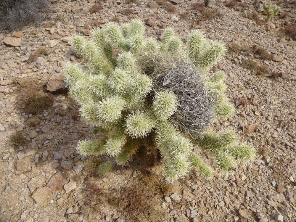
The nest.
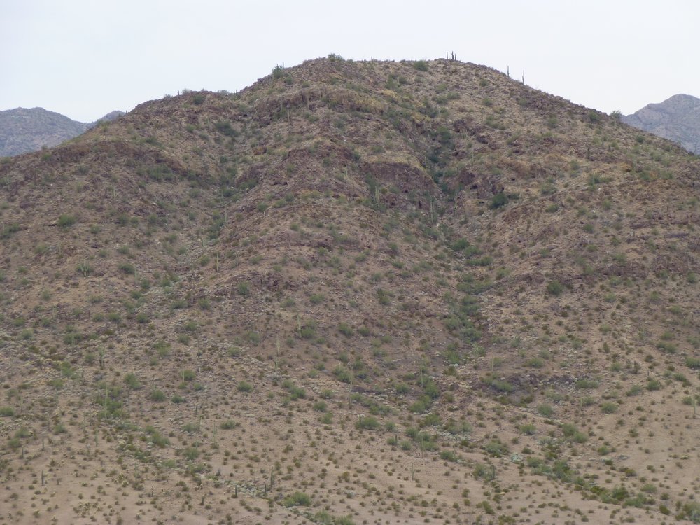
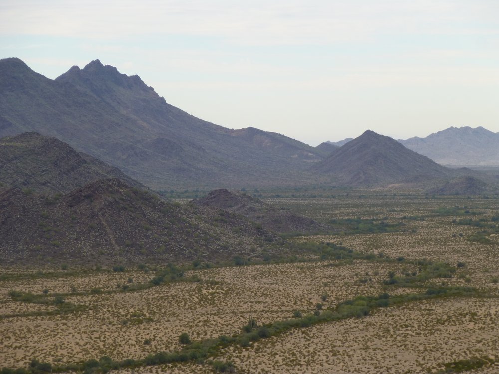
It was 9:45 AM by the time I scaled my first mountain of the day, simply known as Peak 1923. Finally, no longer surrounded by those low hills, I had a good view of what was around me. Firstly, here’s what the summit looked like. See the jagged peak between the 2 saguaros? Not even a mile and a half away, that’s Peak 2059, a low-5th-class climb. To the right of the right-hand saguaro, down low we see steep Peak 1911. Both of them are also in Area 3.
The top of Peak 1923 to the west.
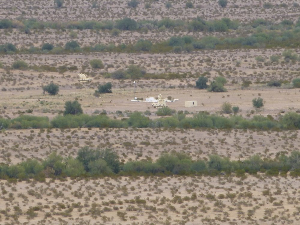
Off to the southeast, I could see this military observation post. I’d head in that direction later in the day.
Keeping an eye out for stealth climbers like me?
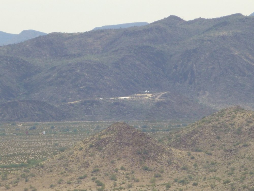
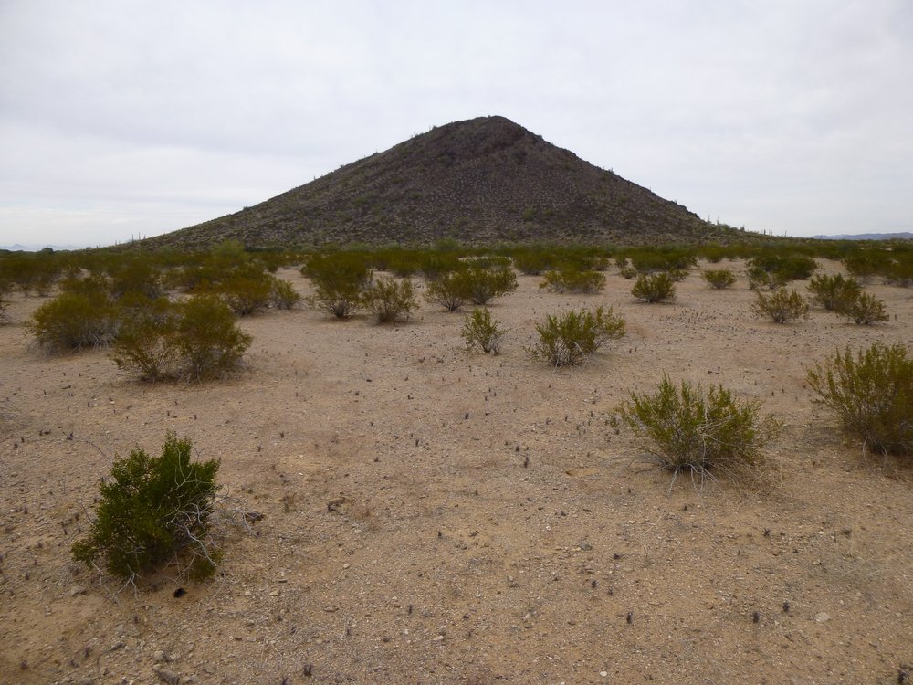
But here’s the best part, the elephant in the room. Less than a mile away sat a small peak called Black Butte. Where I stood right now was miles inside the forbidden Area 3, but Black Butte was even farther in. Here’s what I saw.
The southwest side of Black Butte in this slightly telephoto shot.
As you can see, it was just flat desert between Peak 1923, on which I stood, and Black Butte. My thinking was this – I’d drop down the almost 600 vertical feet to the desert floor, then go as fast as I could to cross that gap. I’d be completely exposed while out there, so I didn’t want to linger. My clothing was all of a tan color, so I felt I’d blend in fairly well. Once over there and climbing it, though, I’d be a lot more conspicuous on all that black rock. I started down at 10:23 AM, and when I reached the bottom of the slope I went like hell towards Black Butte. I’m not a runner, in fact I hate running, but I ran that day. Okay, maybe it was more like walking really fast interspersed with short spells of a pathetic sort of jogging, but I crossed that gap quickly. When I arrived at the base of the Butte, I was out of breath. Wasting no time, I scrambled up that 360 vertical feet as fast as my legs could take me. It was about 11:10 AM when I reached the top of Black Butte, and as I climbed those last feet I was apprehensive about what I’d see on the other side. Well, Folks, I wasn’t disappointed, it was everything a stealth climber would want to see. By the way, here’s the summit.
The top of Black Butte.
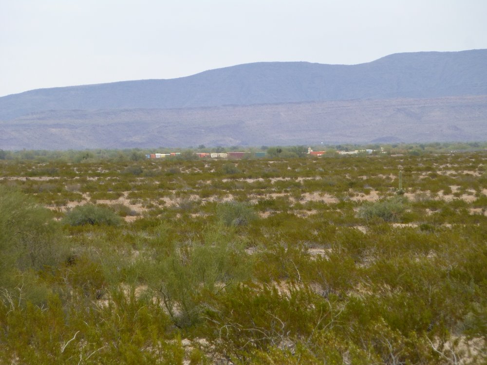
In the state of Arizona, there are 12 features called Black Butte, but none of the others offer views like this. There’s a major military road only 1,360 feet away from the base of this peak, and look what’s sitting by the road. It’s a mock village made entirely from 40-foot metal shipping containers. Some of them have door and window openings cut in them to simulate real buildings. I counted a total of 105 containers here, plus several military vehicles and a tank. Over on the right edge sits a group of 20 dark containers. They are falling apart. You might wonder how a steel container could be in ruins – it’s because they have been shot so full of holes and been bombed by fighter jets.
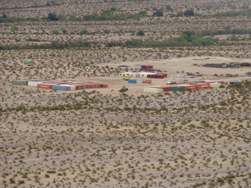
Container village.
Nearby sat this stuff, which includes a radio antenna. There’s a tan-colored tank with something tall sitting atop it.
More stuff.
There were vehicles moving around the compound, and once in a while a truck would come along and pass through at high speed. It may only be a dirt road, but it is meticulously maintained so that you can drive 50 or 60 miles an hour on it.
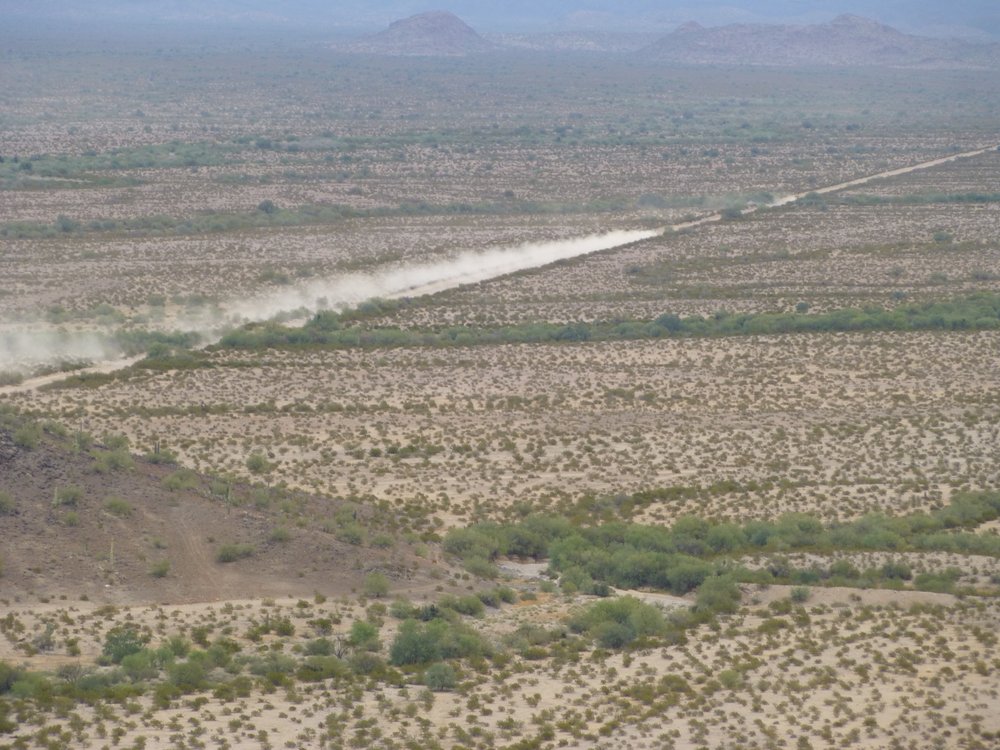
The road.
Here’s a look back at Peak 1923 which I’d climbed earlier.
The east side of Peak 1923.
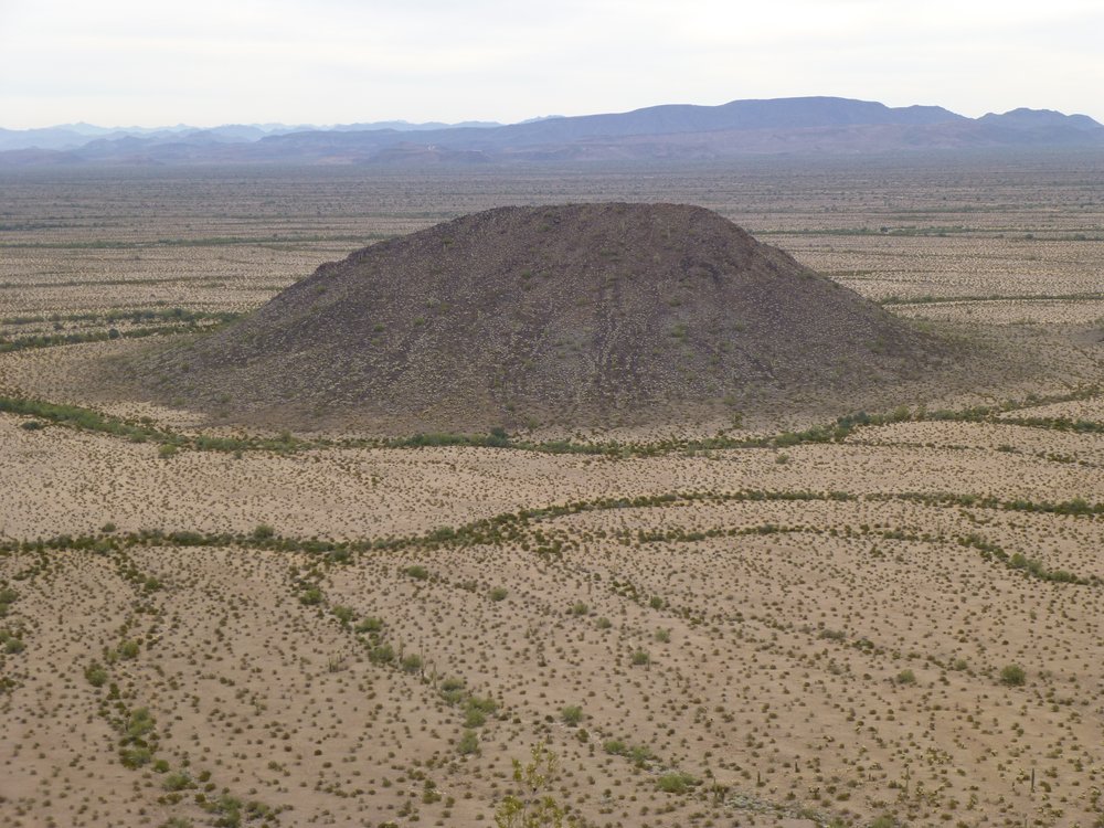
Okay, one more view from the summit. This is a telephoto look miles to the northwest.
Lookout Mountain on the left, and down the slope to the right at its foot sits little pyramidal Peak 1725.
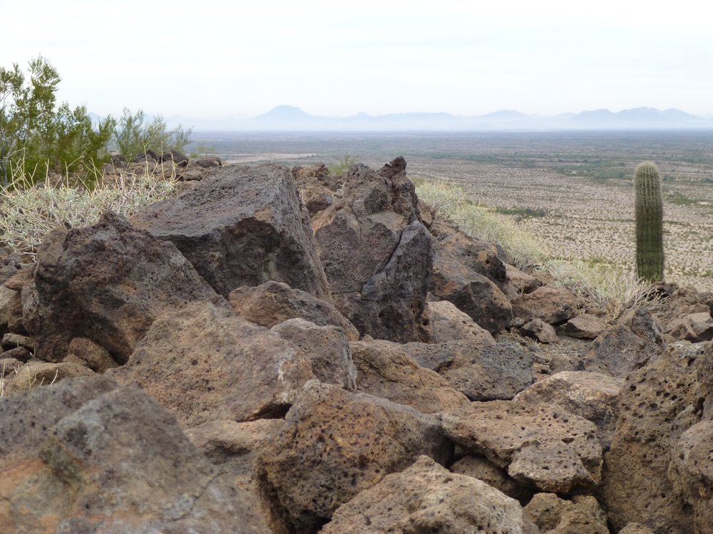
I couldn’t get enough of this place, but I realized I’d have to leave at some point. It was a shame, as I was in a stealth climber’s paradise. There was still some risky ground to cover, and miles to go in order to get back to my vehicle, so I bid adieu to Black Butte. After dropping south off of the peak, I found myself on the desert floor. More than half of the way back would be by a new route, since I didn’t have any peaks to climb on the return stealth. For the first part, I was fairly close to the military road, uncomfortably close. A pair of sharp eyes could have spotted me.
Air Force stuff.
Here’s the look back north to Black Butte, the last view I ever had of it.
The south end of Black Butte.
Soon I left the open desert and entered those low hills I had traveled in the morning. They afforded good cover, but once again I had no landmarks as a reference. Relying on map and GPS, I slowly worked my way along. Here was a typical view as I went along.
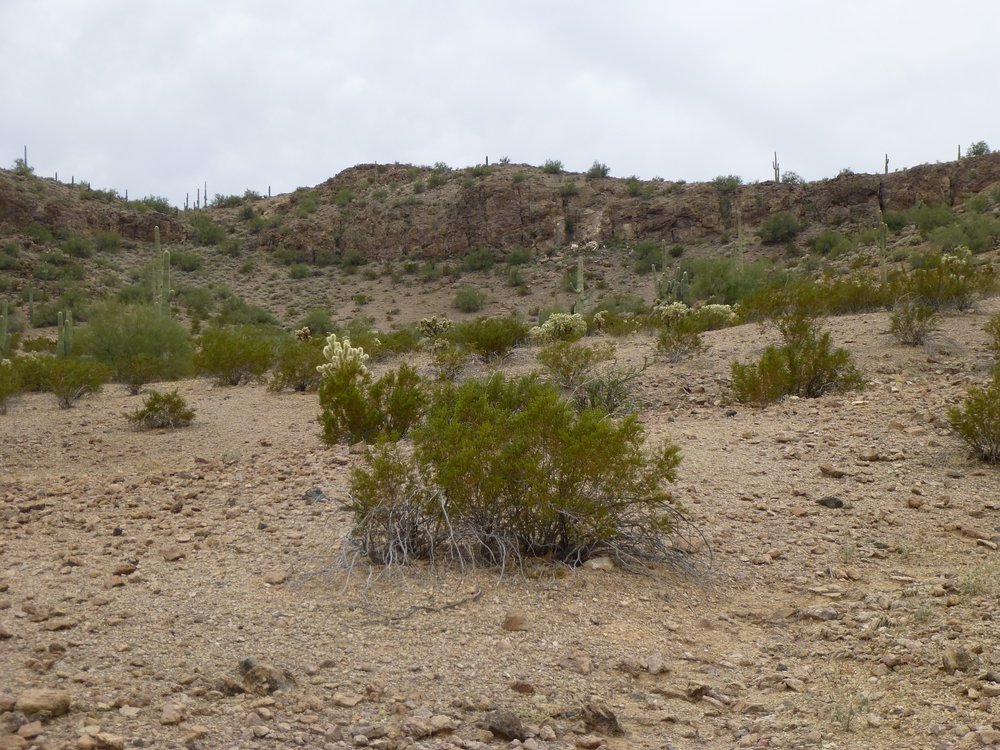
Confusing hill country.
I found myself checking my position quite often, plotting the GPS readings as waypoints on the map. Once, about half-way through the hills, I realized I had gone up a wrong drainage and had to cut across to join my original route. That cost some time and had me concerned for a bit. Along my path, I found this large rock loaded with what I believe was chalcedony.
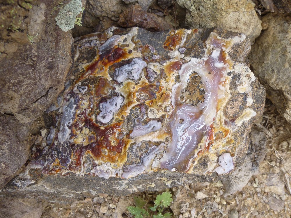
Chalcedony?
It was just after one o’clock when I joined the route I’d taken in in the morning. By 2:15 PM, I was all the way back out to my truck, parked and un-disturbed right where I’d left it. The entire outing had taken 6 hours and 20 minutes. Distance covered was 8.8 miles with 1,930 vertical feet of climbing. The effort had bagged for me 2 peaks that I doubt anyone else will ever repeat, not that they’re hard to do but because you probably need to be batshit crazy to stealth your way in right under the noses of the United States Air Force.