
Please be sure to read the previous pieces entitled “Statlu – Part 1” and “Statlu – Part 2” before continuing with this one.
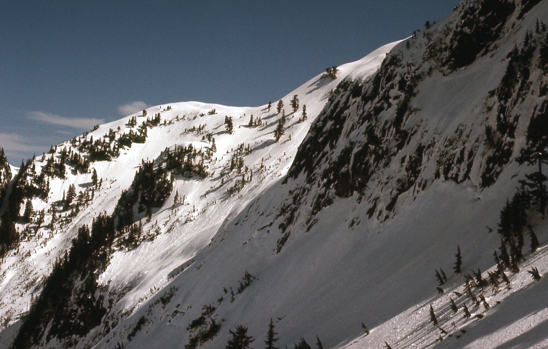
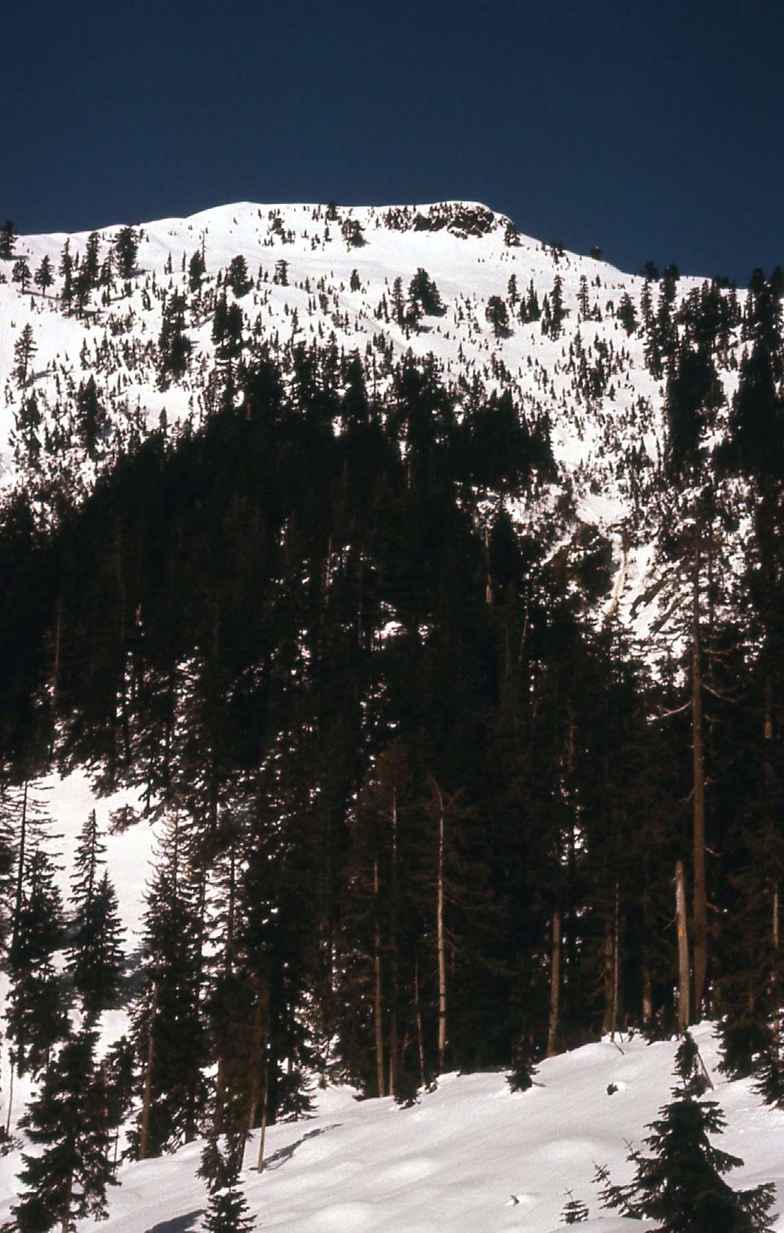
The last day I’d put in climbing in the Statlu was on February 2nd of 1977, when I did Statlu Peak. A few months passed, and I was itching to get back out. Came early April and the snow still lay deep on all of the peaks, but I just couldn’t wait any longer – it was time to head out. On April 4th, I drove up the Statlu logging roads and then as far as I could into Middle Statlu Creek, otherwise known as Blacklock Creek. I brought my snowshoes, a pair of lightweight Sherpas, as I felt for sure I’d need them. I took a lot of pictures that day even though I didn’t climb to any summits. I present them to you here because they show the state of logging and logging roads as they existed at that time and are of a historical nature. First of all, here are a couple of pictures of Statlu Peak taken from down low in Blacklock Creek.
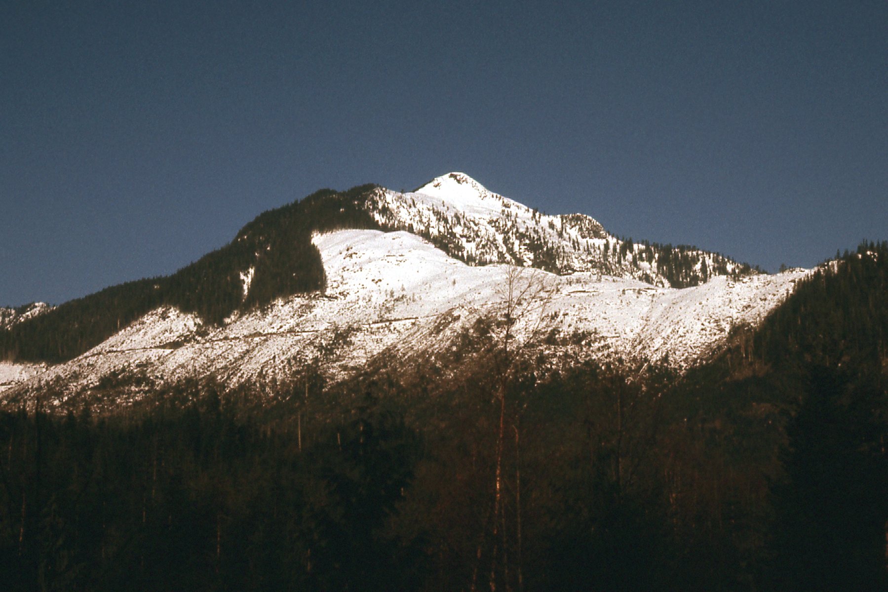
Looking southwest to Statlu Peak
Looking south to Statlu Peak.
And here’s one of Mt. Kettley from down along Blacklock Creek.
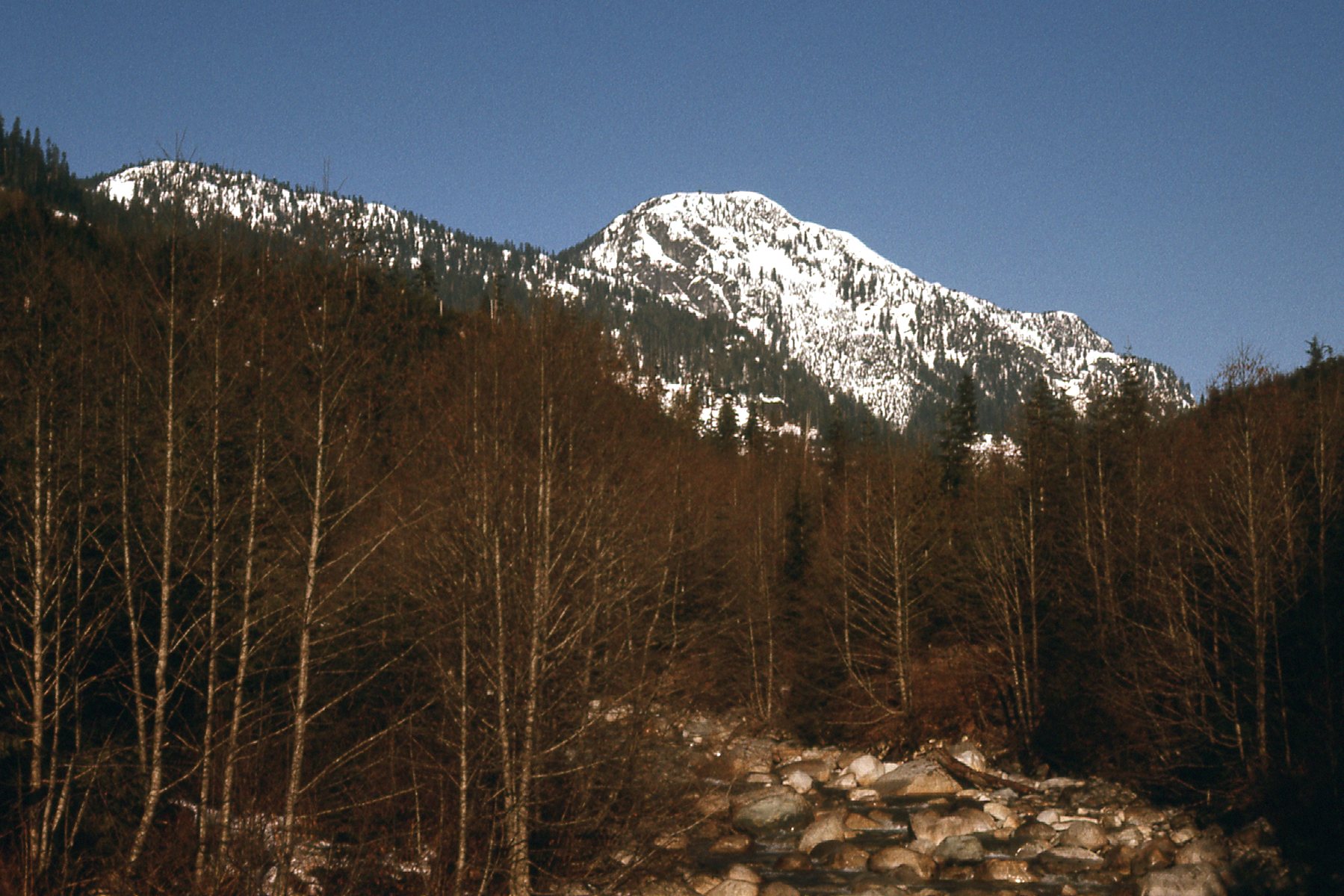
Looking west to Mt. Kettley
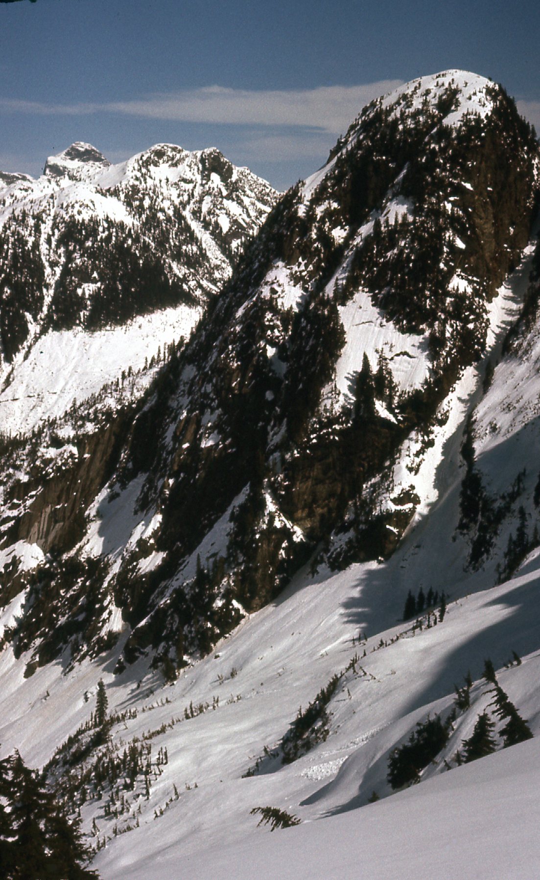
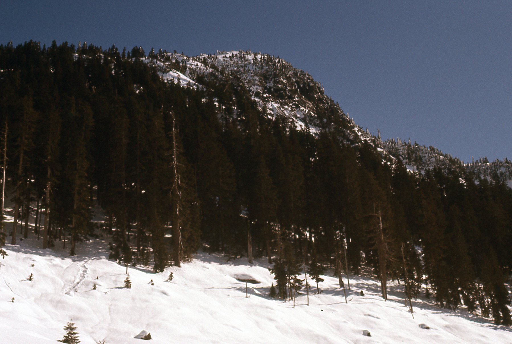
And here’s a good look at the south side of Mount Jasper.
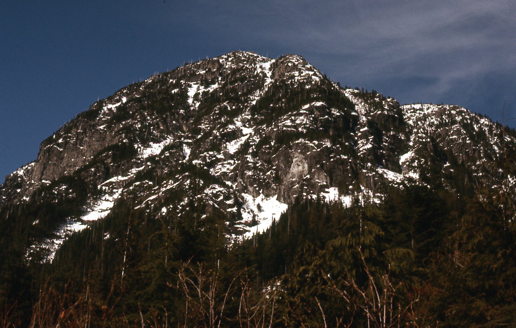
Looking north at Mount Jasper.
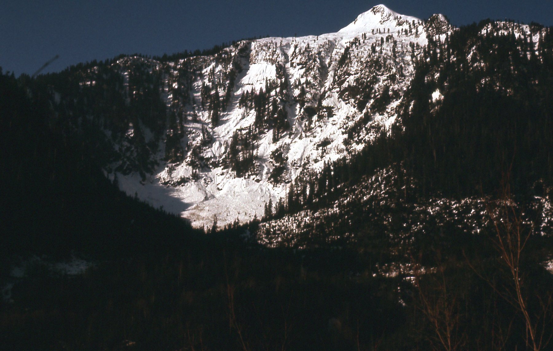
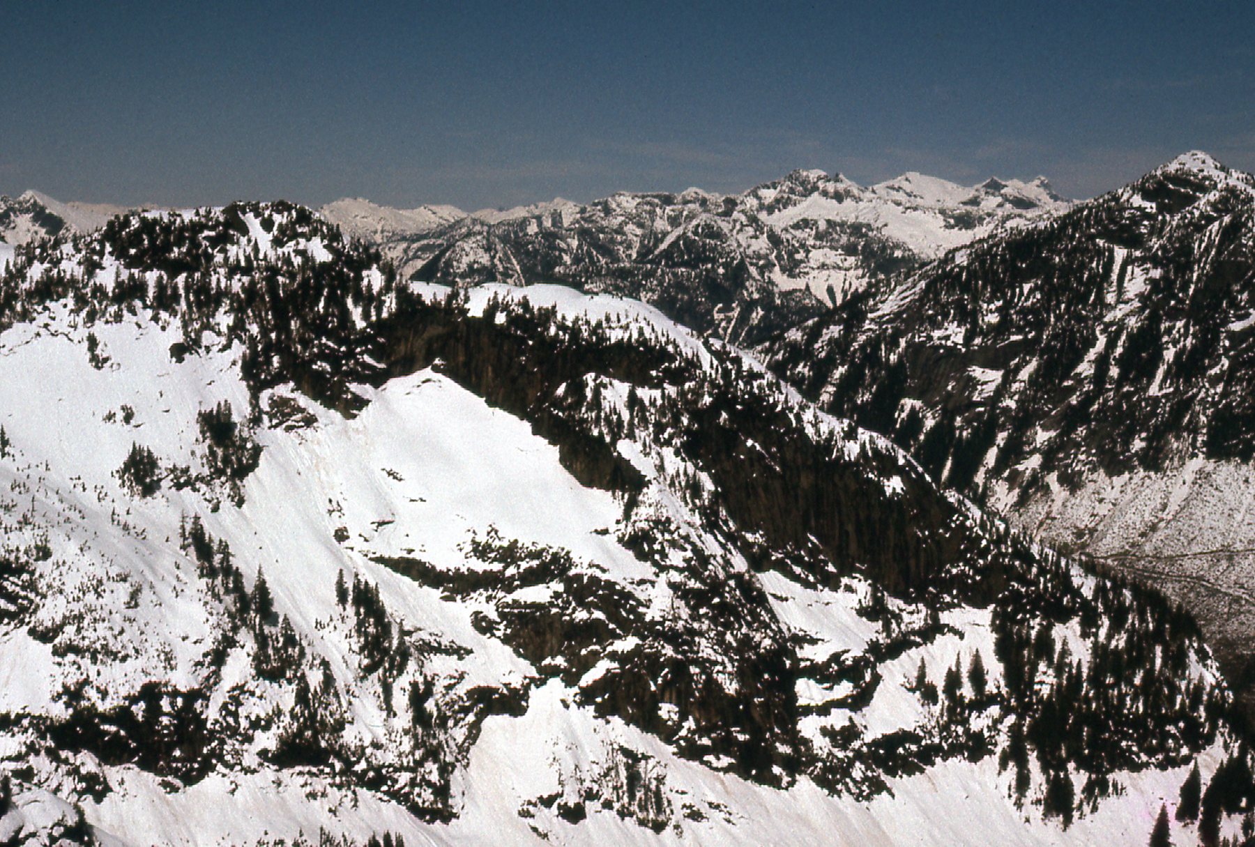
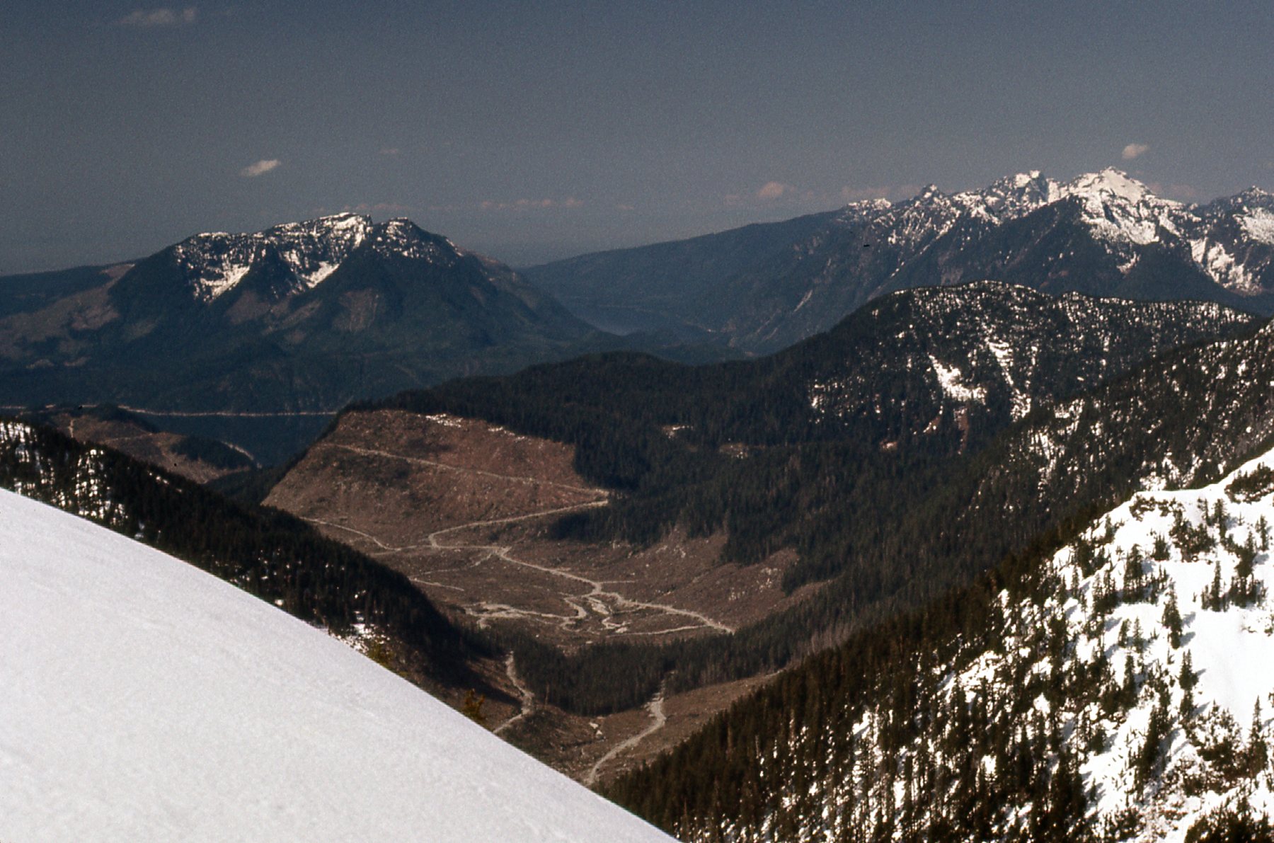
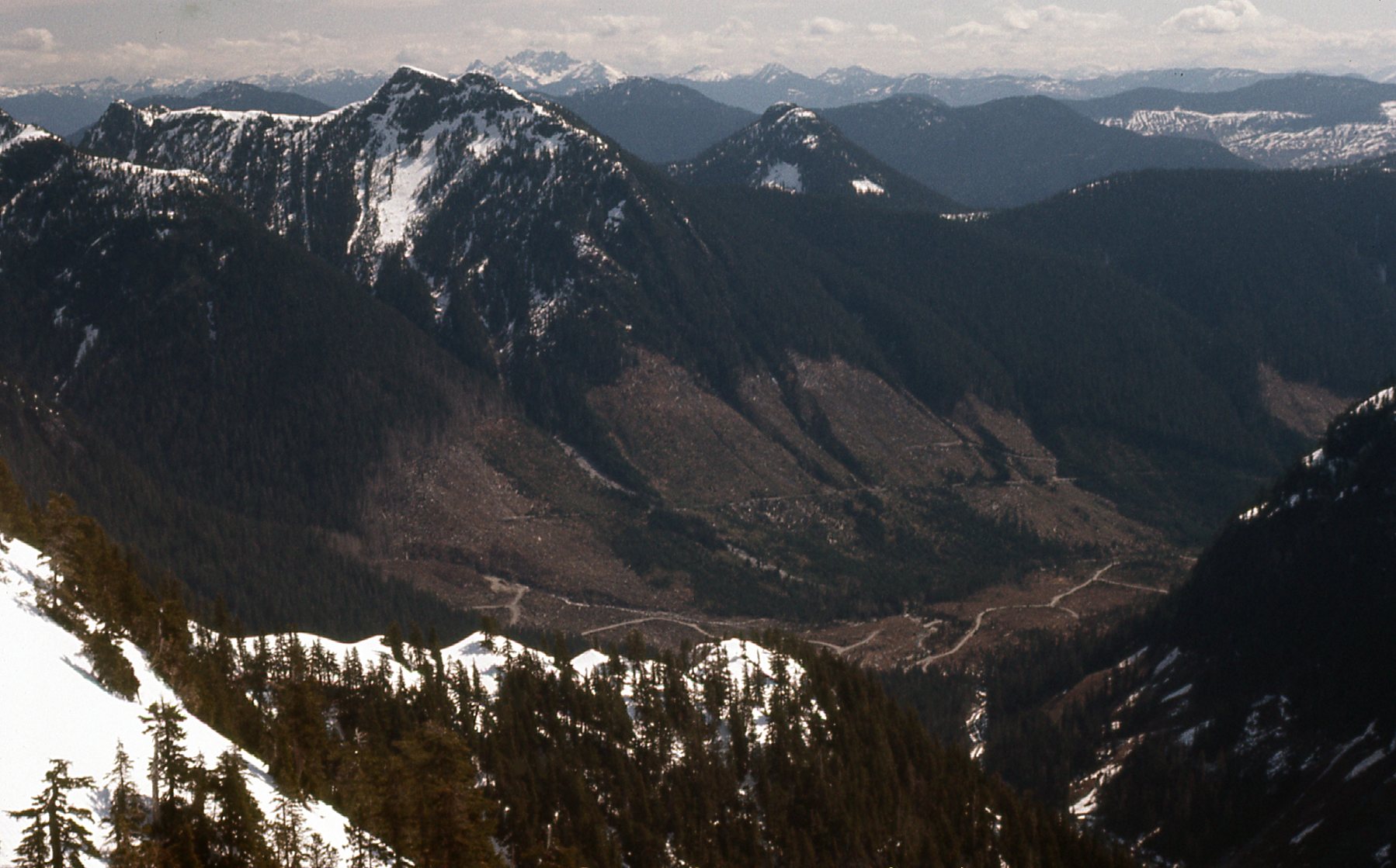
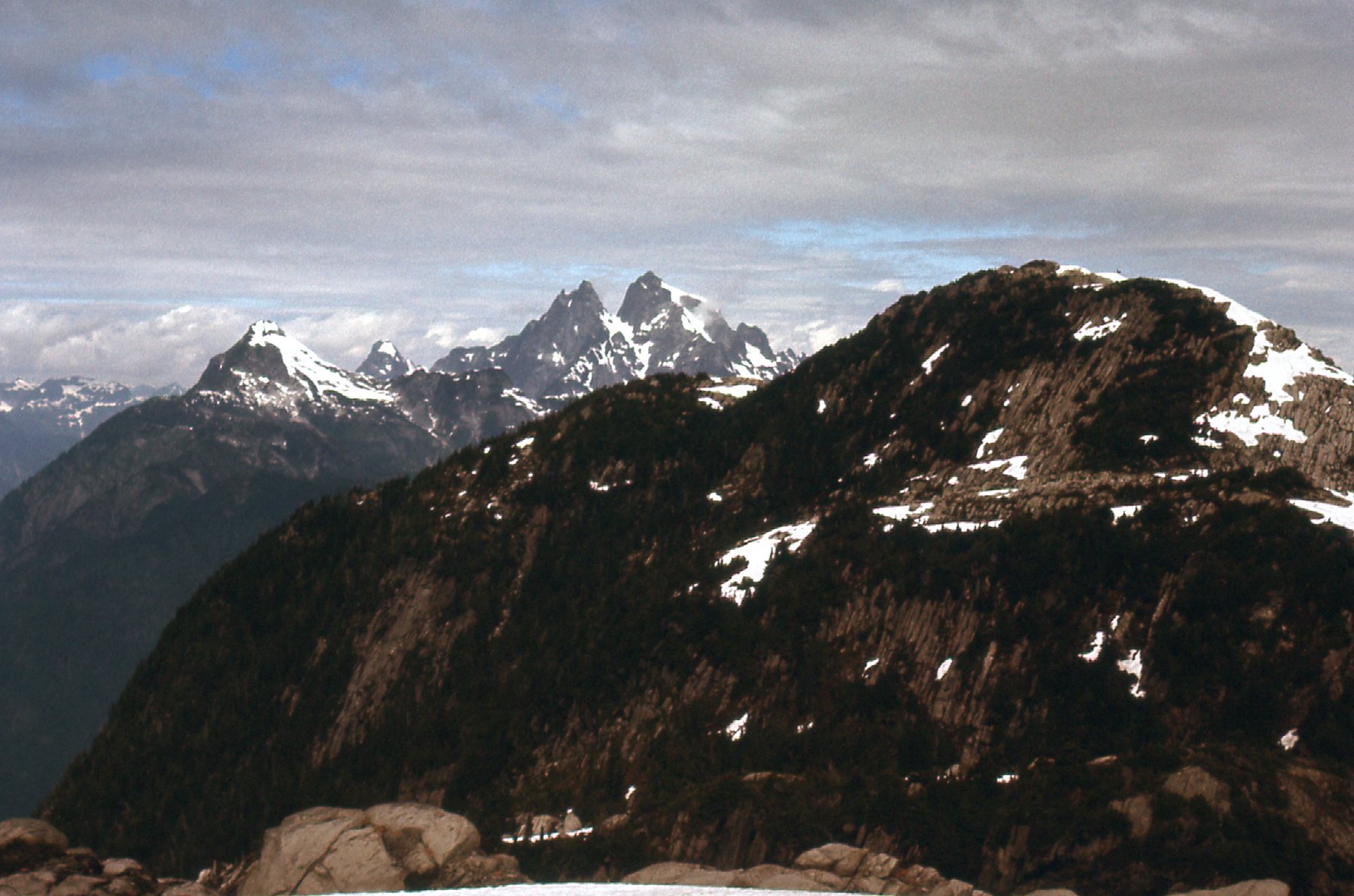
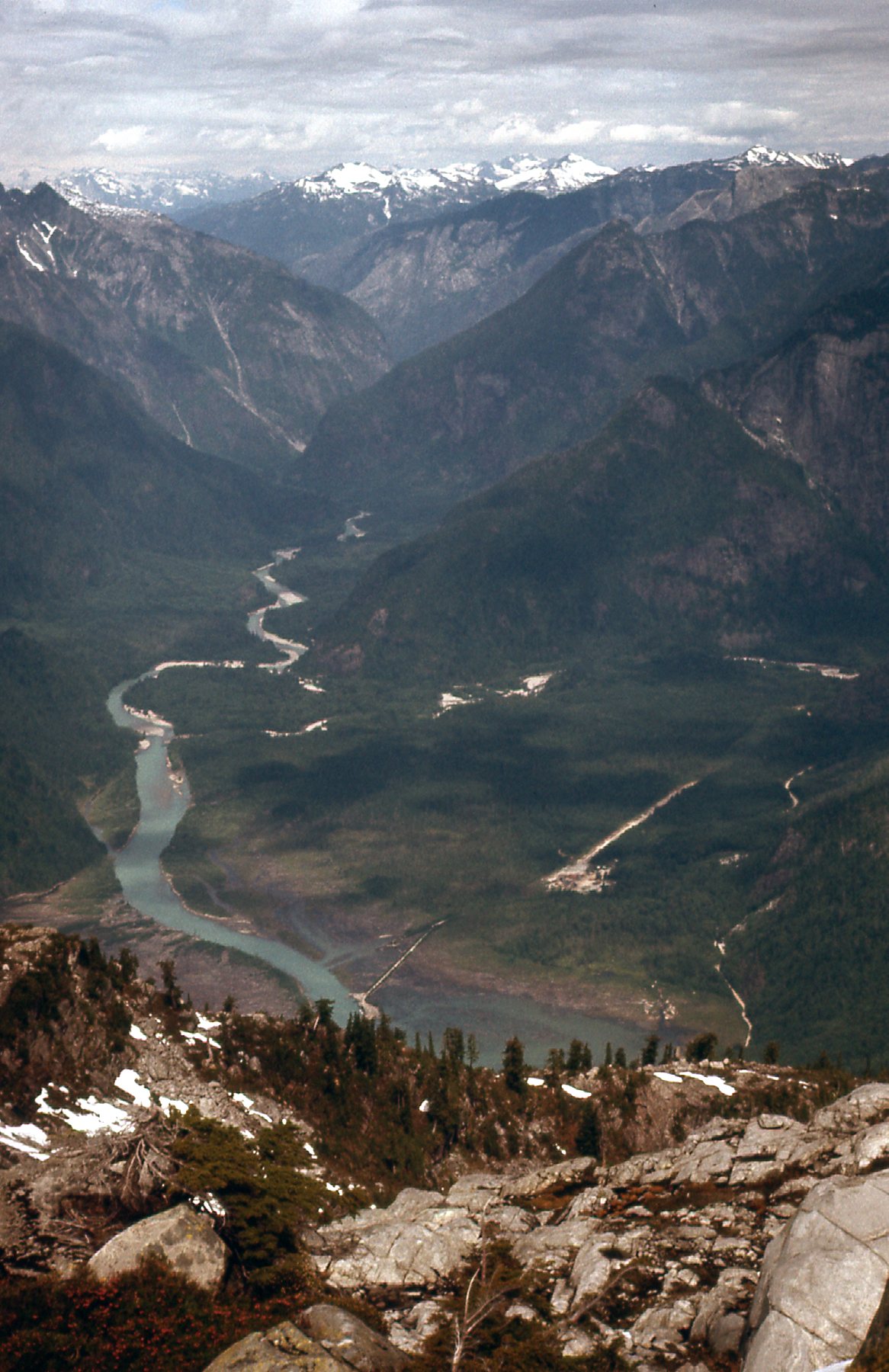
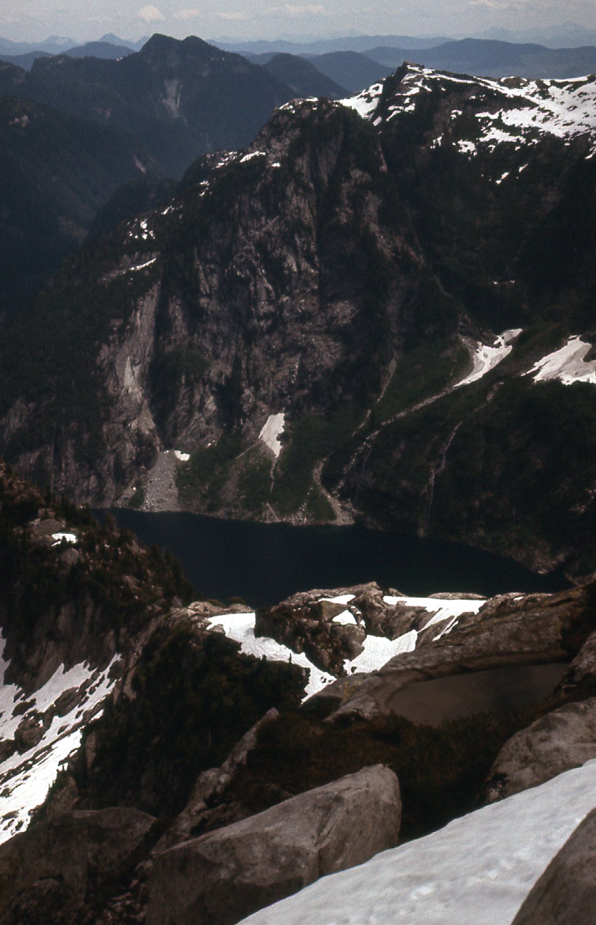
Today I wanted to scout around and get an idea of what would be involved in climbing the peaks around Blinch Lake. I parked and started up the slopes of peaks to the south of the lake. I soon had this good look back to both Statlu Peak and Mt. Kettley, and the ridge that connects them.
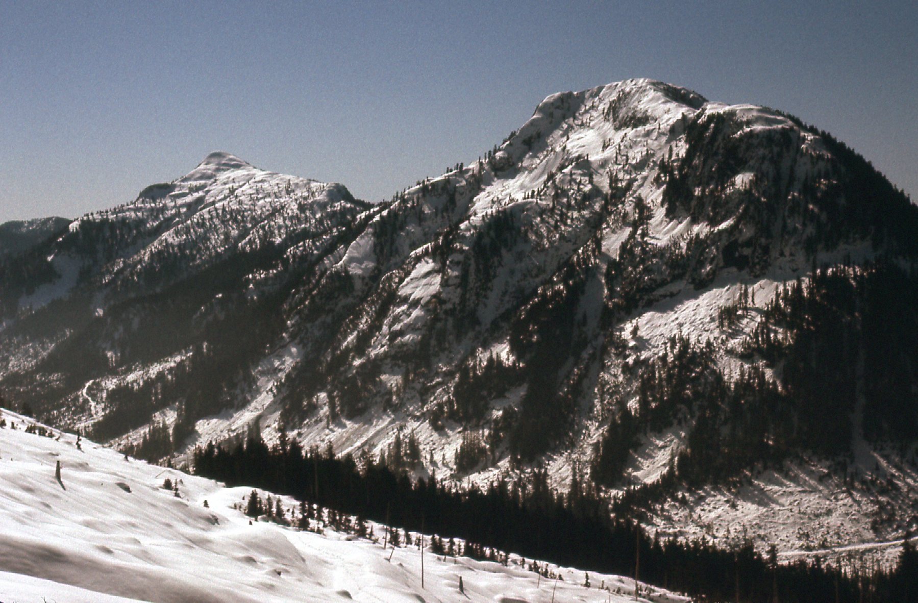
From the head of Blacklock Creek – Statlu on the left, Kettley on the right.
The snow turned out to be terrible, and it was slow going. Eventually I made my way up to a saddle immediately south of Blinch Lake, at 1,190 meters elevation, or about 3,900 feet. This put me in an excellent position to get a good view of the 4 peaks that surround the lake, and I’ll describe them for you. East of the lake is Peak 1390 meters (back when I visited, the poor maps we had showed it as 1,372 meters). Southeast of the lake is Peak 1493 meters. Southwest of the lake is Peak 1430 meters (back in the day, the map showed it as 1,402 meters). Finally, west of the lake is Peak 1511 meters (we only knew it as Peak 1493 meters on the old map, and it is now has a name – Blinch Peak). I was able to get decent pictures of all 4, which I share with you here.
I’ll go counter-clockwise, starting with Blinch Peak (all photos of these 4 peaks were taken from that saddle).
The east side of Blinch Peak. That’s Mt. Judge Howay out there on the right.
Next to it and closer to me (this picture connects to the left side of the one above) was this view of the east side of Peak 1430 meters.
The east side of Peak 1430 meters).
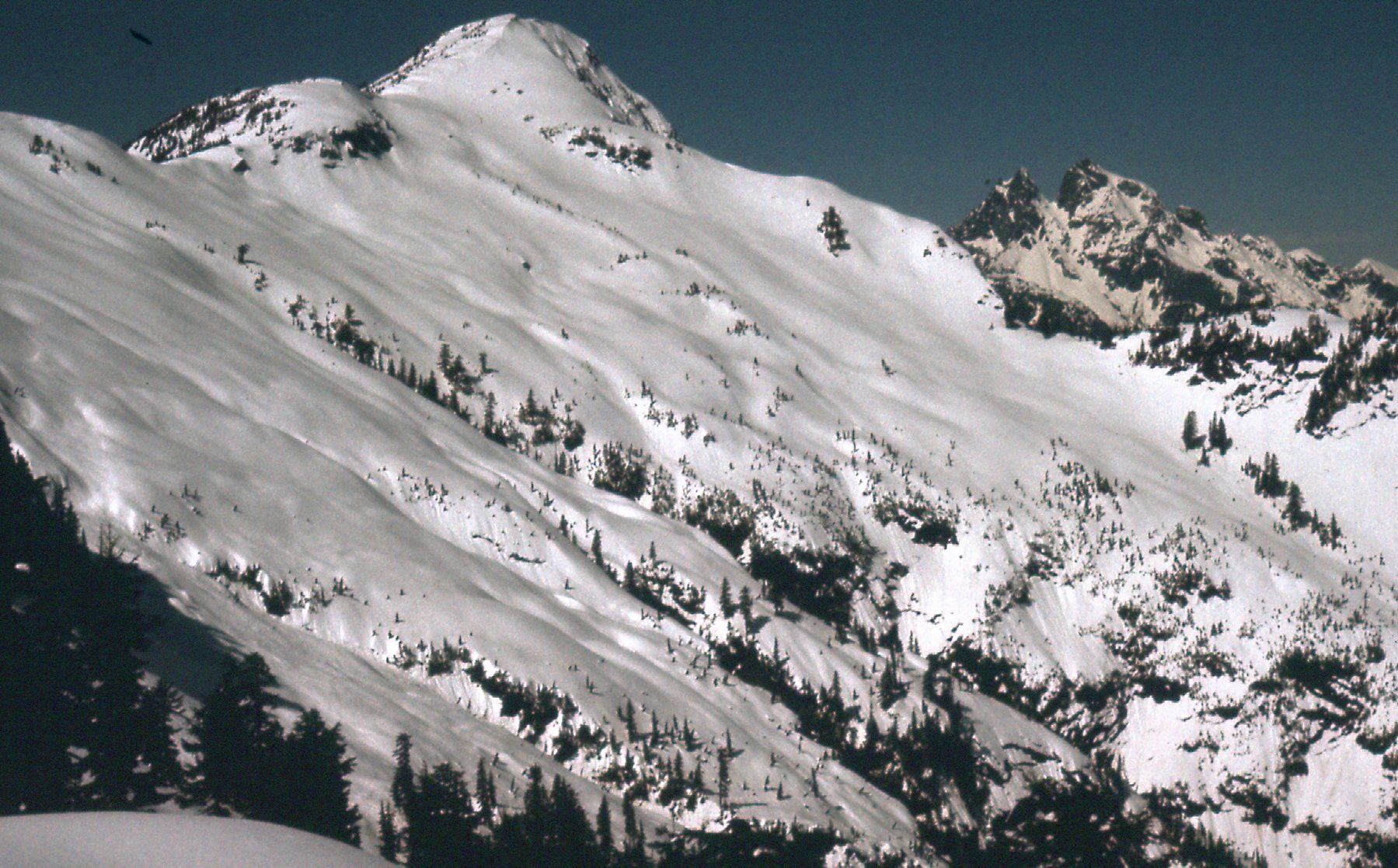
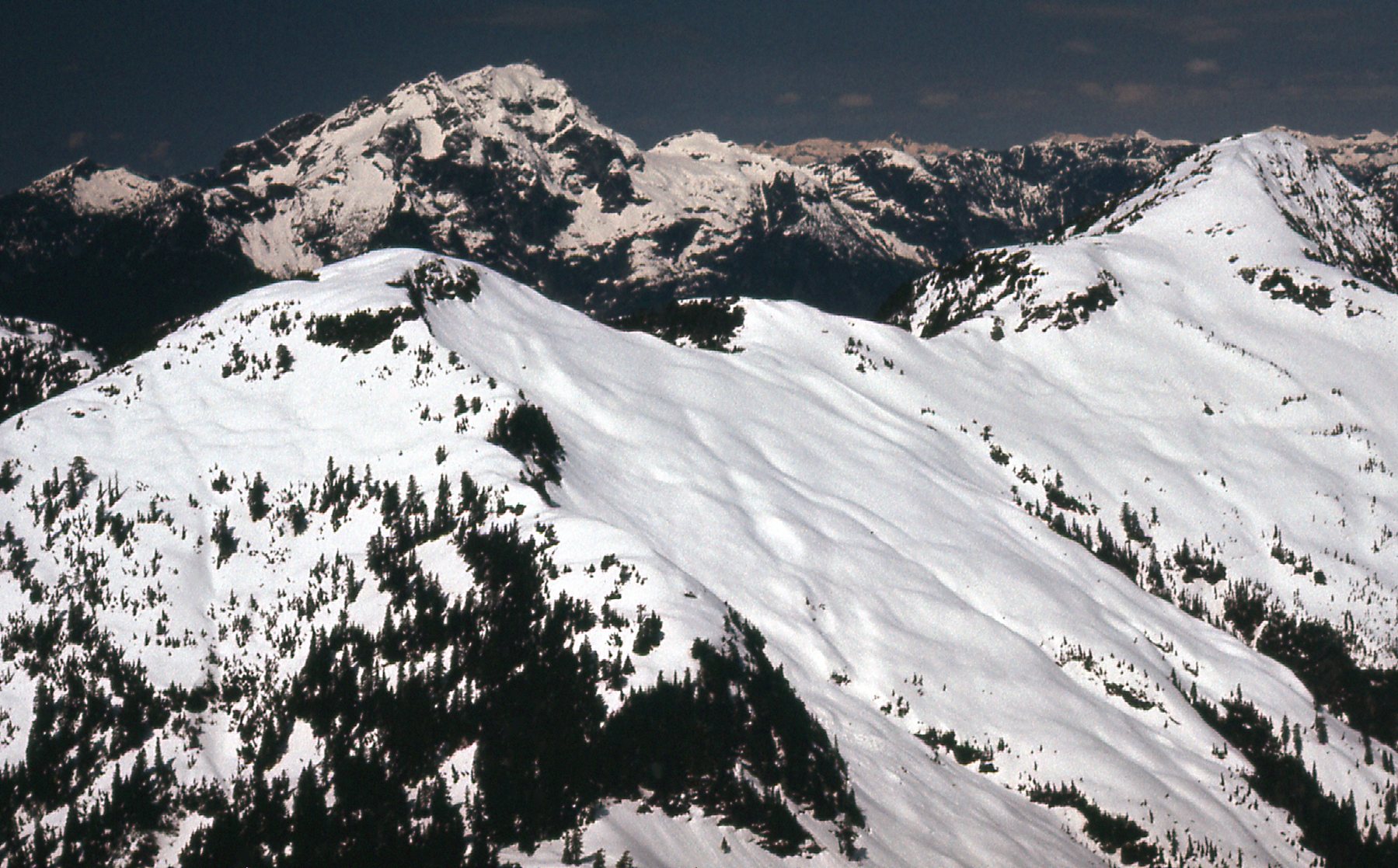
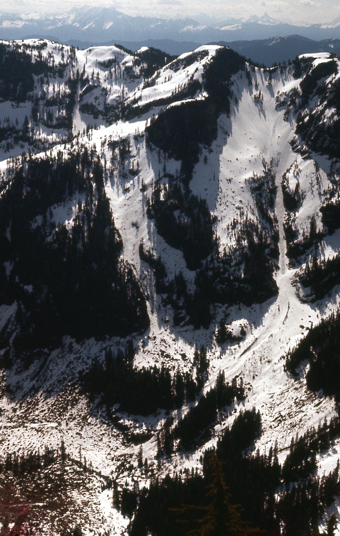
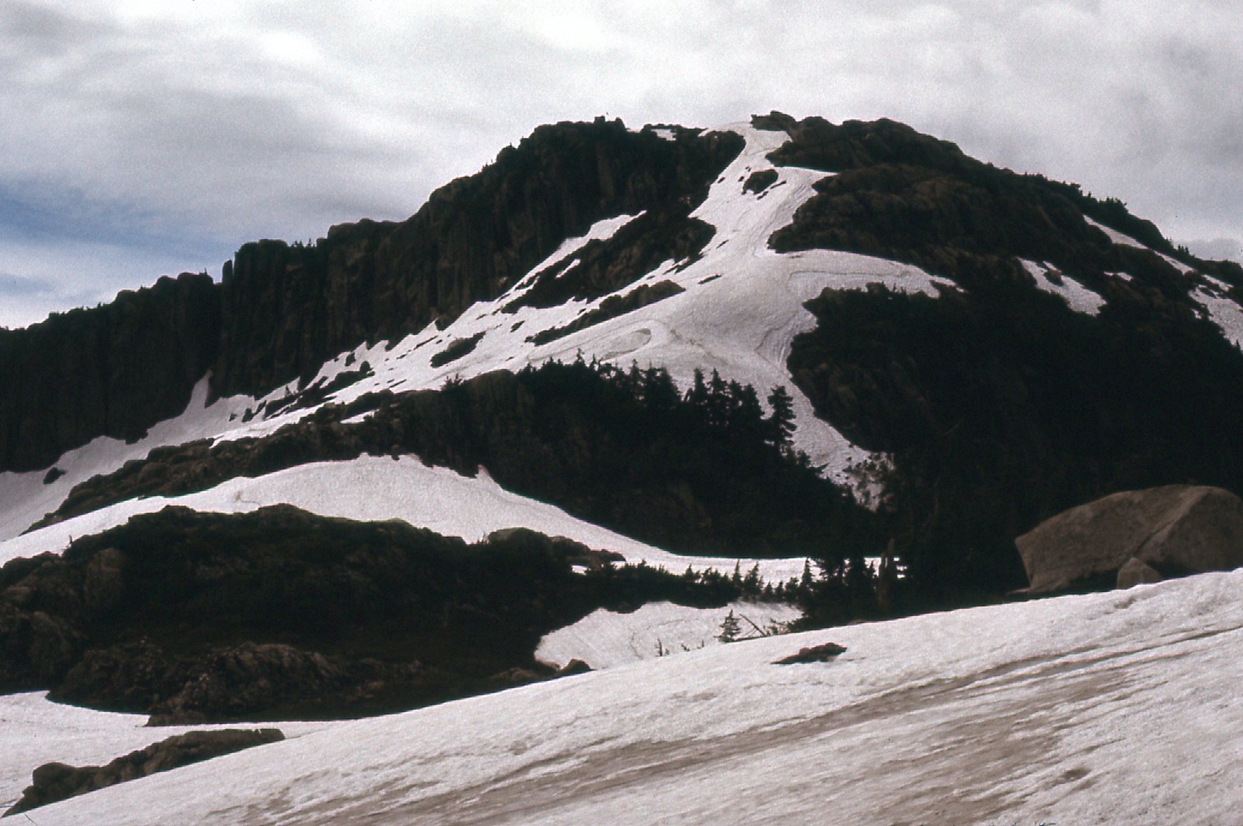
Next to me but on my east side was this view of Peak 1493 meters. If you look carefully, you can see trails where clumps of snow have rolled down its slopes.
The west ridge of Peak 1493 meters.
This next photo shows the north ridge of the above peak, and connects to the left side of the above photo. Lots of tracks of snow rolling down its slopes.
The north ridge of Peak 1493 meters.
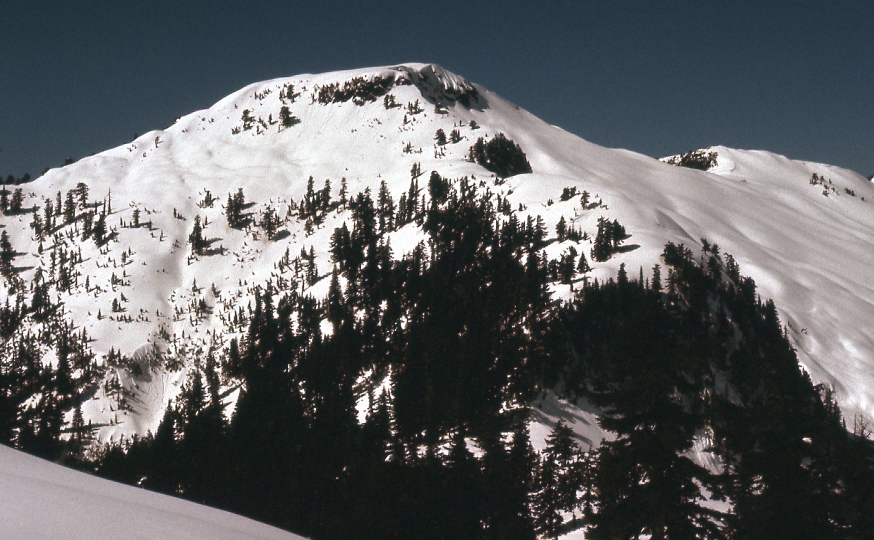
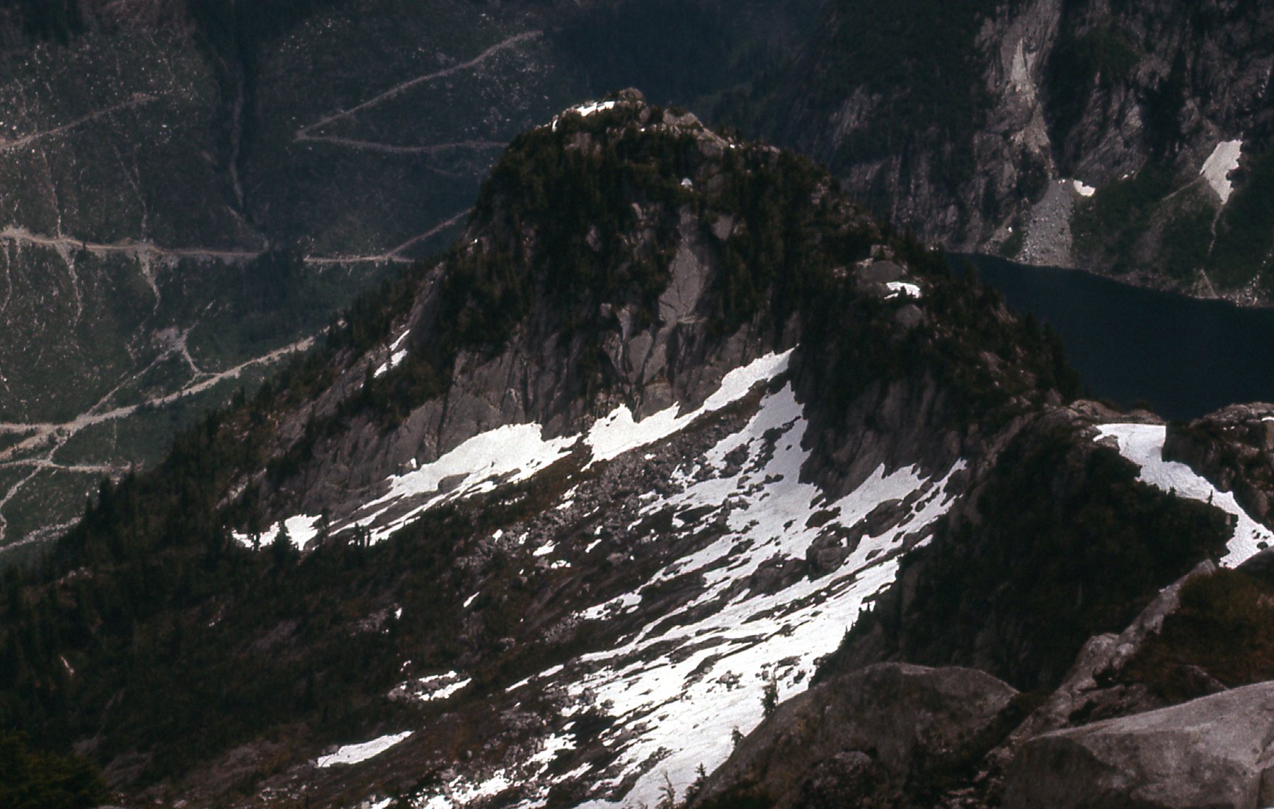
The final peak of the 4 around the lake is this one, Peak 1390 meters.
The west side of Peak 1390 meters over on the right.
There was no question about it – I’d be back to climb all 4 of them. Not today, though. As I stood there in that saddle taking pictures, I could hear an almost-constant sound of snow sloughing off of steep slopes, little avalanches happening. Nothing huge, but alarming enough that I didn’t want to be messing around with this unstable spring snow on such a warm day. I did take more pictures, though. This next one continues from the left edge of the one above.
Looking north to the Mt. Ratney area.
This next one sits to the left of the one above. It clearly shows how they’ve logged the bejeezus out of those slopes to the north of Roaring Creek. The pointy one in the middle on the skyline is Mount Breier.
Looking north to the Mt. Breier group of peaks.
And here’s one more – it connects to the left side of the one above.
Looking north to the distant peaks west of Robertson Peak.
At my feet sat Blinch Lake, completely frozen on this early April day. It sits at just over 2,500 feet, so my stance in the saddle put me 1,400 feet above the lake.
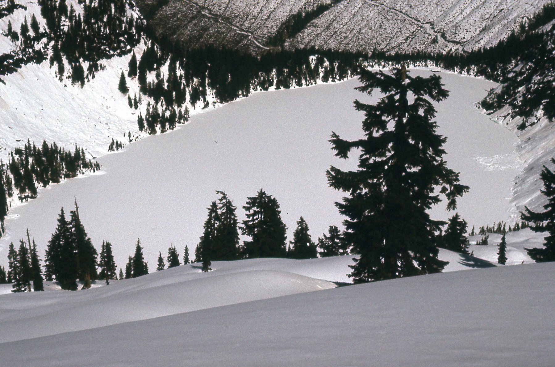
Looking north down to Blinch Lake.
So even though I hadn’t climbed any peaks on this day, I sure did get a good look at those 4 peaks ringing the lake and now had a good idea what I’d be up against when I came back. It was a 1,500-foot drop back down to Blacklock Creek, which was pretty easy with the snowshoes. On the way back down, I couldn’t resist these last photos. This one is looking north back up to Peak 1430 meters.
The south slope of Peak 1430 meters.
And here’s the last one from that day, a look up the southwest side of Peak 1493 meters.
Peak 1493 meters.
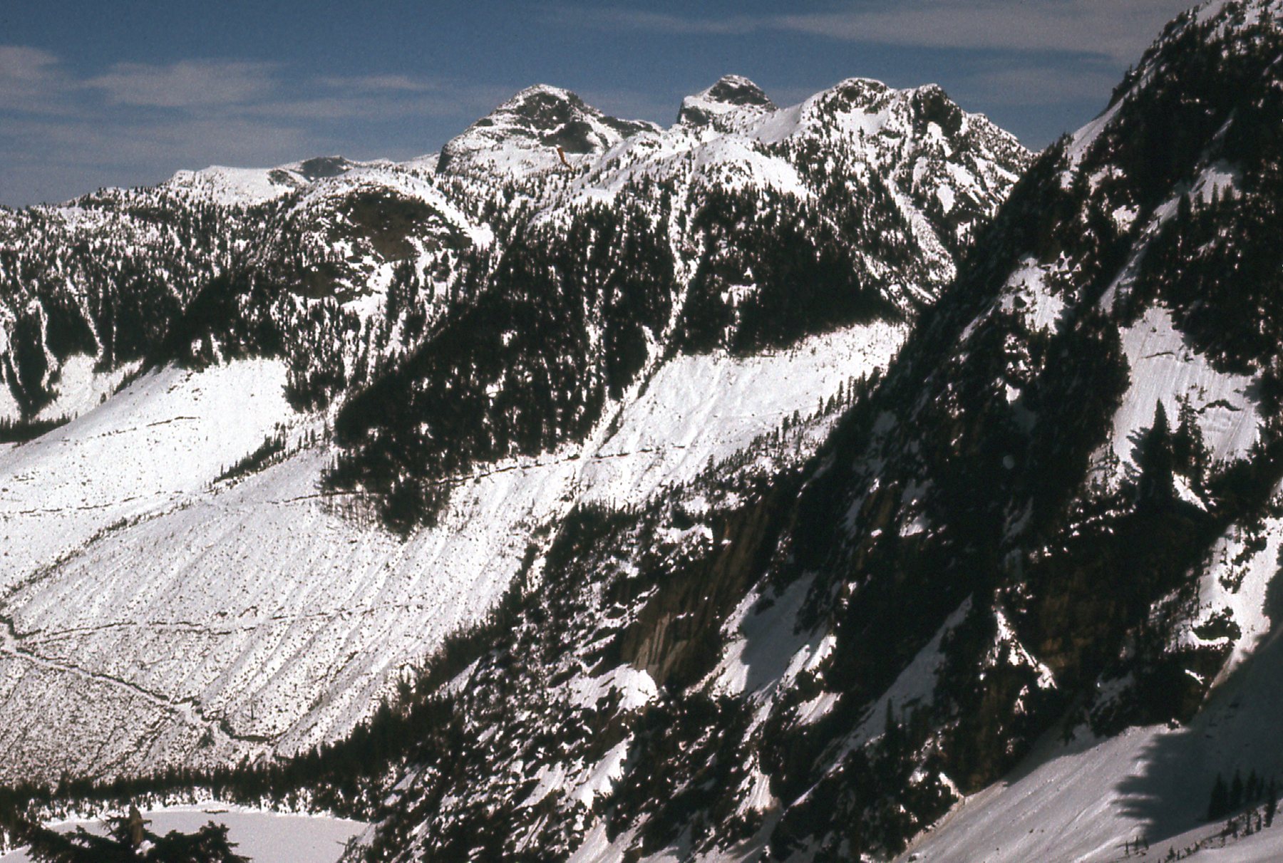
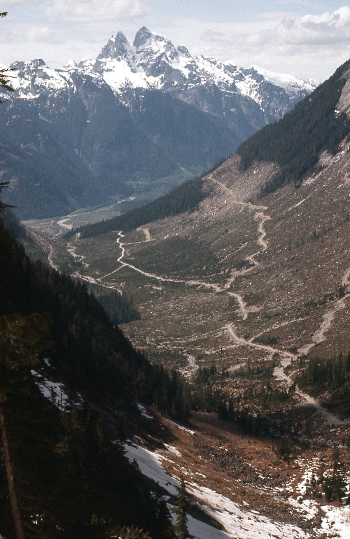
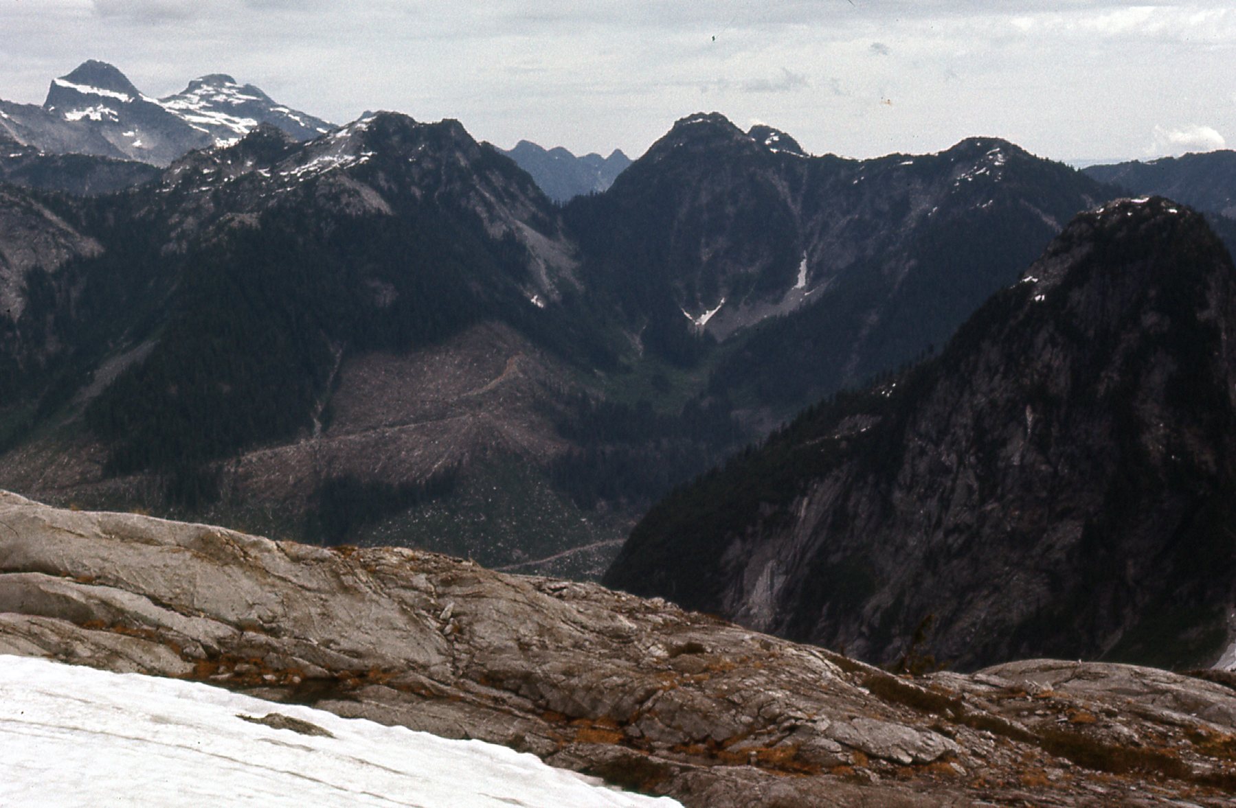
Well, I’d seen enough that day to get any peakbagger excited. Four virgin summits waiting to be plucked. How soon could I get back? Well, it turned out to be not too long. On May 7th, a fine, blue-sky day, I returned, this time using the North Statlu Creek road I had used back in the winter to approach Mt. Jasper. This approach to the 2 peaks on the east side of Blinch Lake is certainly direct, but it is steep, bluffy and a bit of a bushwhack. I made it to the saddle between the 2 peaks, then headed up the north ridge of Peak 1493 meters (4,900 feet) to its summit. Wow, talk about great views! Here, have a look. First of all, this one is looking southwest down Terepocki Creek. If you look really hard, you can just see a bit of Stave Lake in the distance.
Recent logging in Terepocki Creek.
From where I stood, I had a good look over to the 2 peaks on the west side of the lake. That’s Mt. Robie Reid out there in the distance.
Peak 1430 meters on the left, and Blinch Peak in the upper right corner.
This next one sits to the right side of the above photo. Blinch Peak is on the left edge of the photo; Mt. Kranrod is over a bit to the right, with the big white snow slope on its right side; the double summit in the center distance is the one-and-only Judge Howay.
Blinch Peak on the left.
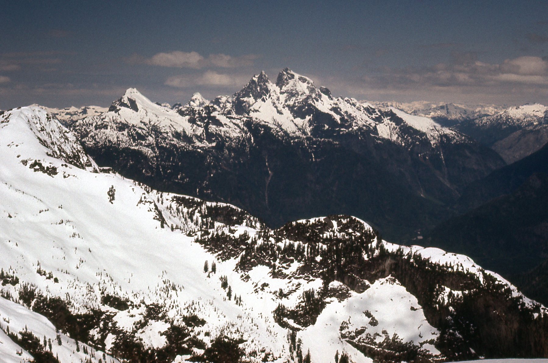
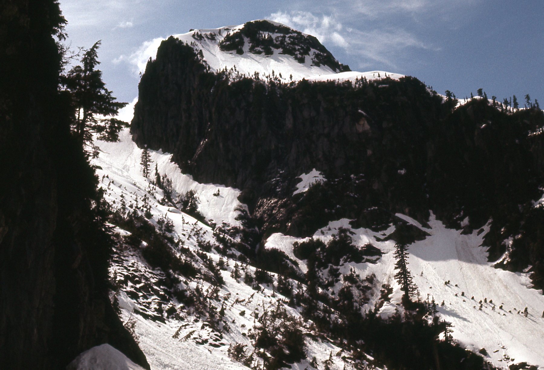
From the same summit, here’s a look north. In the distance, we can see the Ratney group of peaks. However, it’s what’s closer in that’s important. Over in the left center of the photo is a dark peak, lower down, with a white cap of snow on its summit. That’s Peak 1390 meters, which I wanted to climb next. Go ahead and count back 10 photos from here and you’ll see a shot that shows this peak to advantage. Its east face is over 600 meters high. I certainly didn’t attack it that way – rather, I dropped down to the col on its southeast side where I found a class 3 route to the top.
Peak 1390 meters
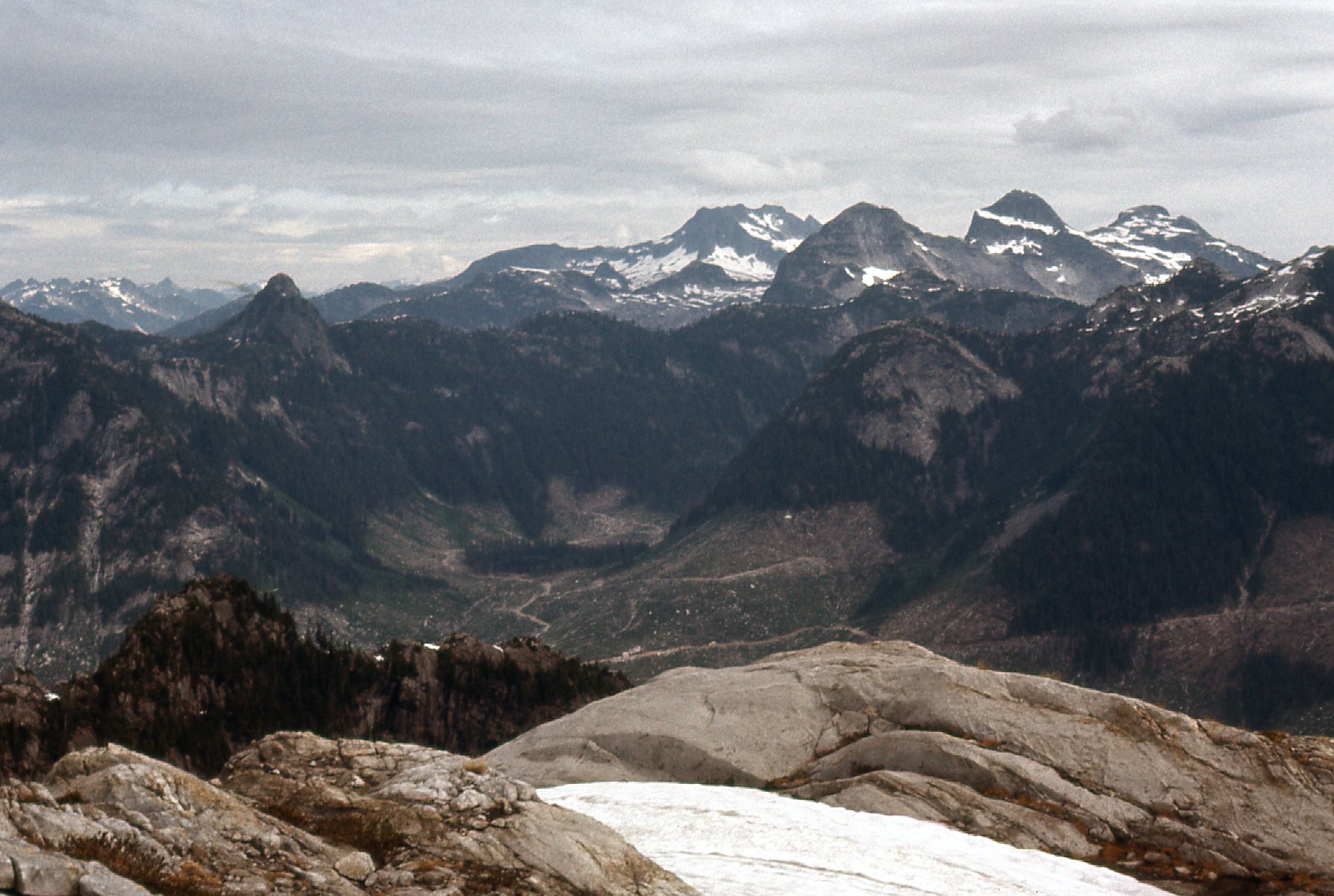
From the north ridge of Peak 1493 meters, the first one I climbed on this day, I had a good look down to the logging roads in North Statlu Creek.
North Statlu logging roads
I also had this clear view of the west side of Mount Jasper, the one Paul Berntsen and I climbed back on December 23rd. The narrow snow gully we used goes up the far right side of the photo to a saddle between the 2 highest summits which we climbed.
The west side of Mt. Jasper
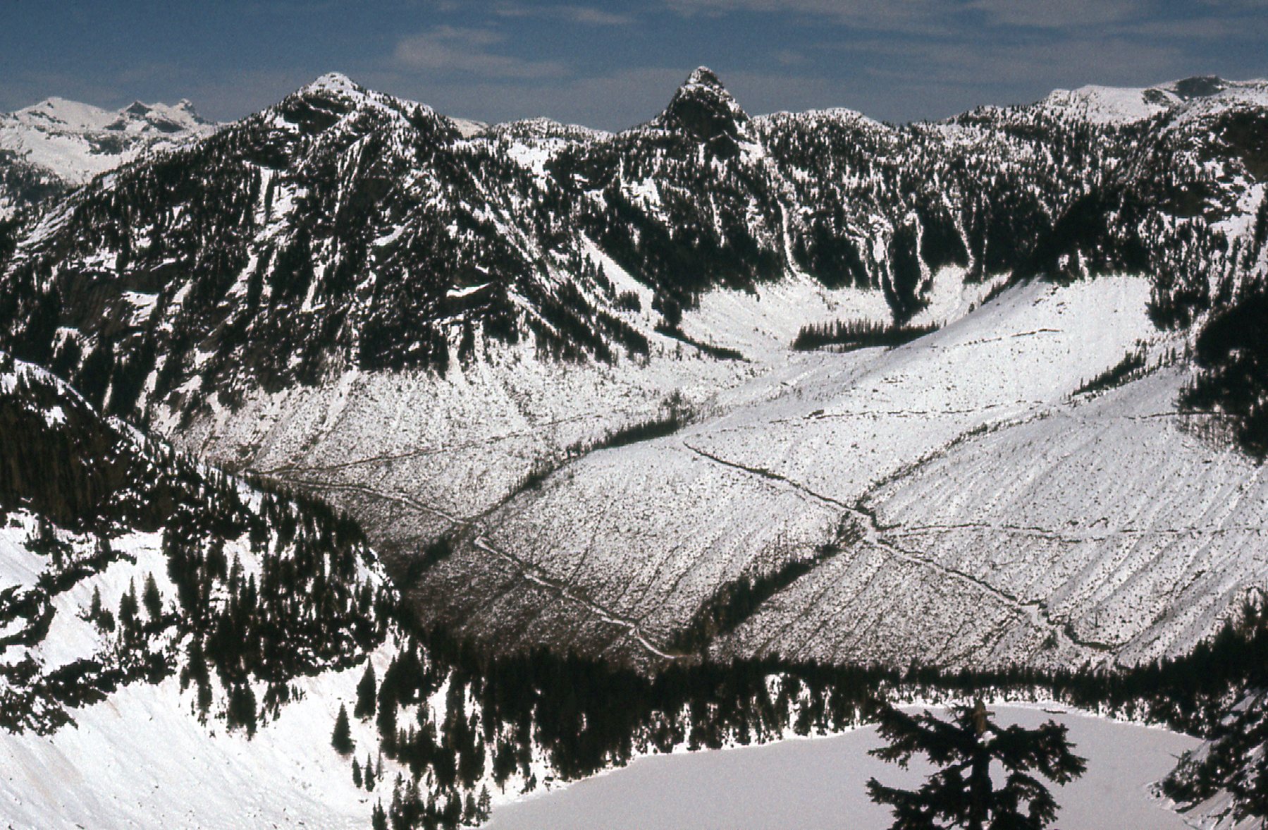
After a while spent atop Peak 1493 meters, I dropped down its north ridge to the col between it and Peak 1390 meters to the north. I found a Class 3 route on the southeast side of 1390 and managed to get to its summit, an enjoyable challenge. Later, from lower down, I also had this excellent view of the logging roads in Roaring Creek – we are looking west-northwest down to Mt. Judge Howay.
Roaring Creek
After an enjoyable while spent on top, I climbed back down to the col and then started back down to the North Statlu Road where I was parked. Just below the col, I took this parting shot. My route went up to the right from the notch on the left side of the photo.
The east side of Peak 1390 meters. Small but significant.
I may have only done 2 peaks that day, but I was out for 11 hours on foot to get it done. It was all good, and now there remained the other 2 peaks on the west side of Blinch Lake to do. I knew the approach I had just used from North Statlu Creek would be a poor choice for them, so I had to figure out another way to get at them.
Two months passed, and it was now high summer. I had been busy with other climbs, but felt it was time to return to my Blinch Lake summits. I’ve shown you many photos of valleys filled with active logging, and we were allowed to drive many of those logging roads. However, there were some that were barred by locked gates. Sure, you could ride a bike on those roads and walk them too, but that wasn’t always practical. Close to my home in Mission was a company called Millstream Timber in the town of Hatzic. I learned that they were logging certain of the valleys and I contacted them. I explained that I’d like to drive one of their roads, and I could of course do it on any day that suited them. It’d be a one-time thing, and I was prepared to offer them any assurances they needed. Much to my surprise, they told me to come to their office and they handed me a key to one of their locked gates. Wow, that was unexpected! On Friday, July 8th, I drove north, unlocked the gate, locked it again behind me, and made it all the way to the head of Terepocki Creek on new, excellent logging roads.
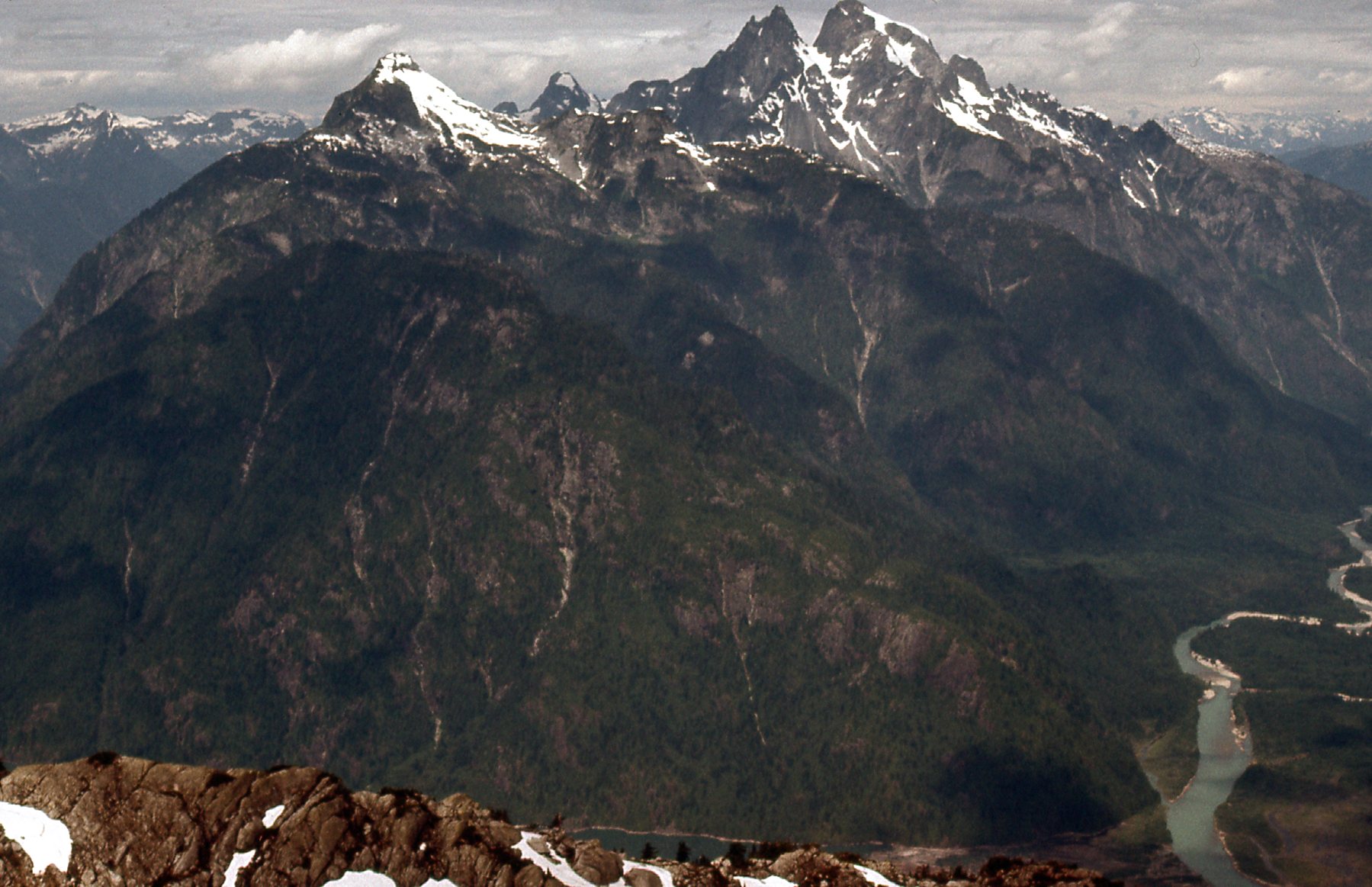
This was indeed a lucky break. I parked and set out on foot, climbing 2,000 feet through the bush to reach the saddle on the south side of the lake. This took longer than when I had done it back on April 4th when all was covered in snow, but it still wasn’t too bad. From the saddle, it was due west and a gain of about 800 feet to reach the summit of Peak 1430 meters. From it, I had this view northwest to Blinch Peak, almost 300 feet higher, the one I’d do next. To the left of Blinch, and right in the middle of the photo, sits the mighty double summit of Mt. Judge Howay. Way over to the left of it, we see Mt. Kranrod with all the snow on its right slope. In between it and the Judge sits The Defendant, down low and distant.
A look to Blinch Peak.
While atop Peak 1430 meters, I had other good views. Here’s one looking out to Ratney and East Ratney in the upper left corner. Also, we see the logging at the head of Roaring Creek. On the right side of the photo and lower down is another of our Blinch Lake peaks, the dark one. We are seeing the west face of Peak 1390 meters, climbed back on May 7th.
Looking northeast.
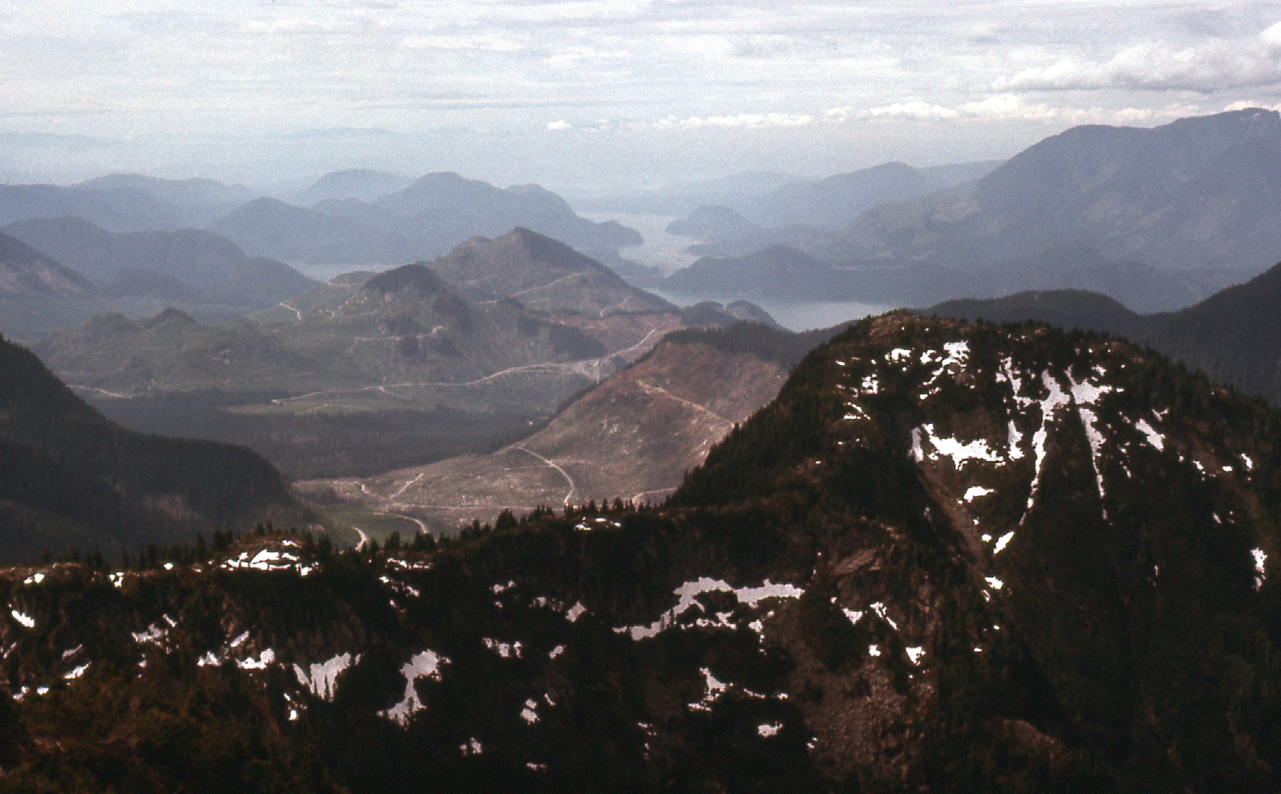
This next one sits to the left of the above photo. We can see some good stuff in it. Over to the left and down low is Mount Breier. On the far right horizon we see 3 peaks: they are, left to right; Stonerabbit, Ratney and East Ratney. And more distant, just to right of center, sits Mt. Clarke.
Breier to Ratneys.
To continue with my day, I now had to travel northwest, dropping down, then climbing over a bump at 1370 meters, down again, then up the southeast ridge of Blinch Peak. Here’s a look up a part of that ridge.
Heading towards Blinch Peak.
Before long, I stood on the open, rocky summit of Blinch Peak. There was no sign of any previous visitor, so I left my usual cairn and summit register. The views were outstanding, I must say. Let me share what I saw. This first one has us looking north-northwest. We see the Stave River flowing south towards us. Down low on the right side we can see the straight airstrip, ending in a large clearing where the logging camp sits.
The logging camp.
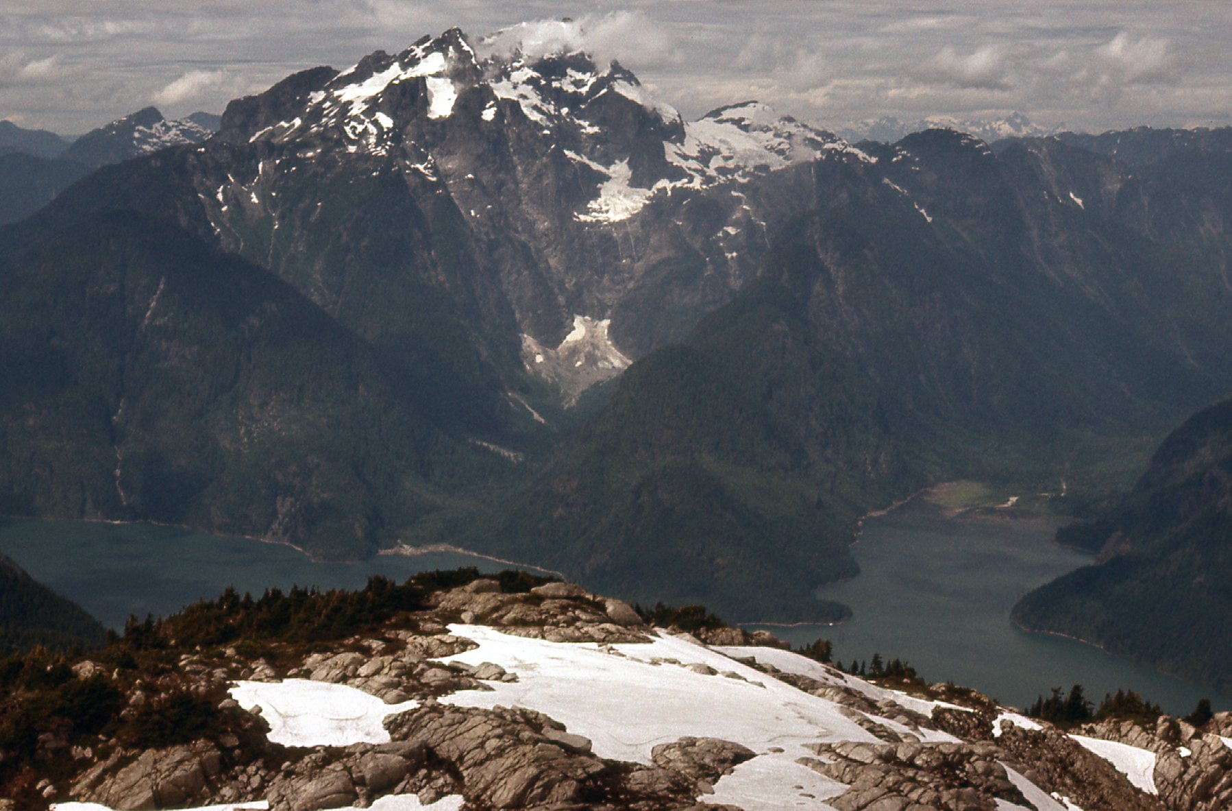
Next, we look across Stave Lake to Kranrod, Defendant and Judge Howay.
Towards the Judge
Here’s a nice view looking west across Stave Lake to Mt. Robie Reid.
Robie Reid
Here’s a view looking south to the logging in the lower part of Terepocki Creek. Blinch Peak, rearing as it does directly up from the shore of Stave Lake, certainly has some commanding views.
Looking south down the lake.
Okay, 2 more to share with you. Again, from the summit of Blinch Peak, we can see down to Blinch Lake.
The lake is 2,400 vertical feet below us.
And here is the east ridge of Blinch Peak, which winds its way down to the shore of the lake.
The east ridge.
I don’t think I’ve mentioned that Blinch Lake doesn’t drain into any part of the Statlu proper. Rather, it empties at its north end, tumbling down steeply 900 vertical feet to flow into Roaring Creek and thence to Stave Lake. Getting over to Blinch Peak was a pleasant stroll on fine granitic rock with minimal bush, making for a very aesthetically-pleasing day. There were no indications that anyone had visited these 4 Blinch peaks before me, and the guide book credits me with the first recorded ascent of all of them. Certainly the best approach to all of them, at least back in 1977, was up Terepocki Creek. It took me 3 visits to get them all, and 2,400 words to describe the adventure, but I enjoyed re-living it with you.
Stay tuned for Statlu – Part 4.