
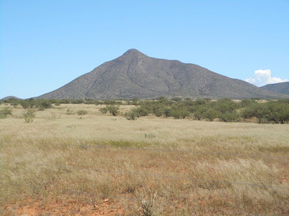
Back in 2010, one chilly morning in mid-November I set out from Tucson with climber friend Paul McMichael – we were heading for the southernmost edge of the Whetstone Mountains to do some – what else? – climbing. It was early, and the better part of two hours later we arrived at our destination. We planned this one to take maximum advantage of the shorter days, arriving with the faintest light of dawn forming in the east. We found a good place to park, just outside a fence along Highway 82. Man, it was chilly as we got our day packs ready. Yes, a day climb it would be, but a challenging one.
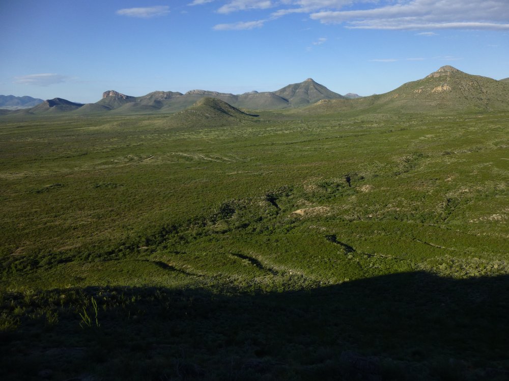
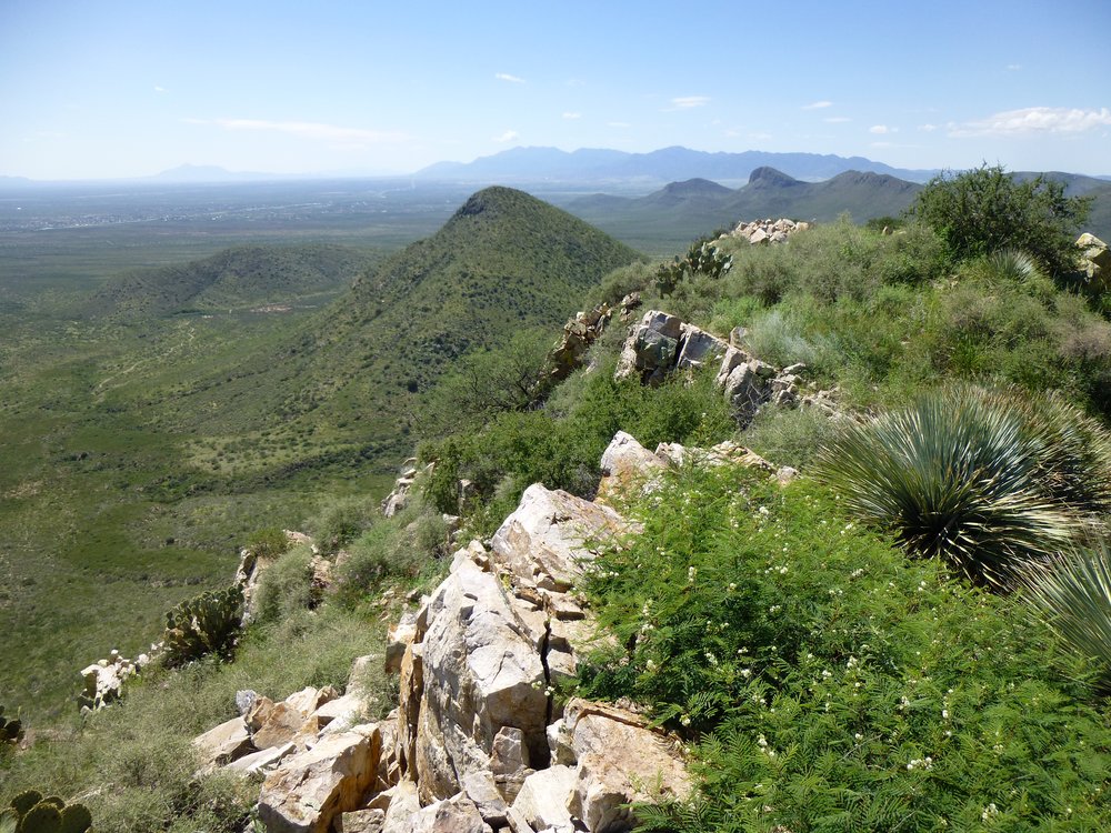
There was a group of 5 peaks clustered tightly together, perfectly situated to do as a group. None of them was farther than 2 air miles from our starting point, and we could use roads at the start and to finish, but the rest of the day would all be cross-country. By the time we started, there was barely enough light to see. For some reason, no photos survive from that day, so years later, when I was back in the area, I took the ones I’ll share with you today.
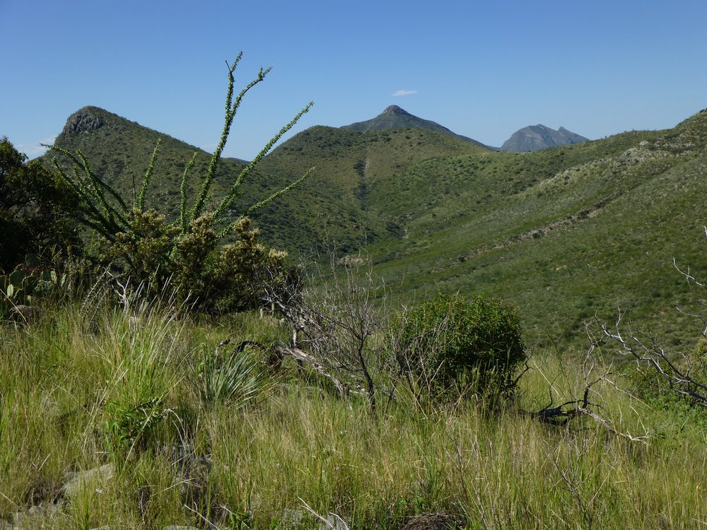
We climbed over a gate and found ourselves on a dirt road that headed east straight towards our first peak – it was seven o’clock. Following it for a mile took us to the western tip of a ridge, which we gained right away and followed it east to the top of Peak 5487. We knew that everything we would climb today had been previously visited by prolific peakbaggers, namely Bob Martin, Mark Nichols and Bob Packard. All we had to do was dig in each cairn and find the registers, then sign in. It was almost nine o’clock by the time we left that first peak, descending by that same west ridge, and reaching the desert floor by 9:15 AM.
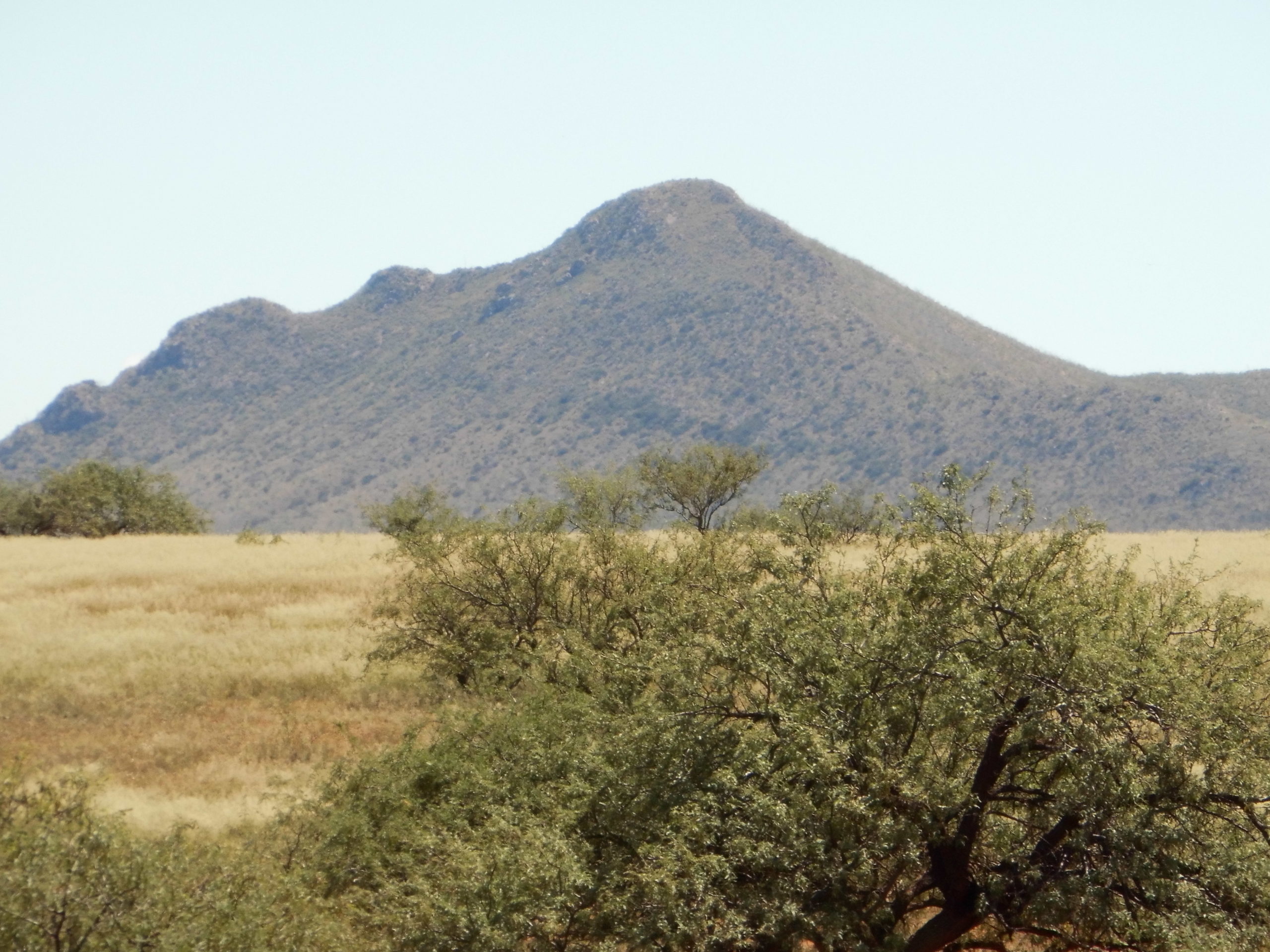
A look east to Peak 5487
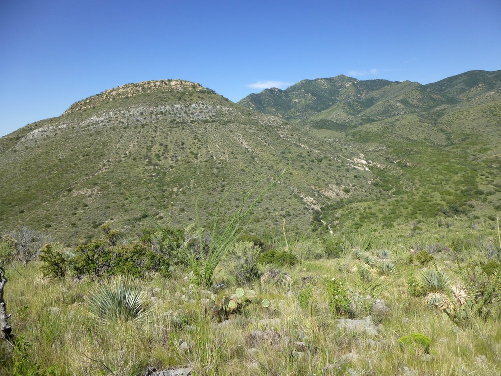
It was a short walk north to the base of our second one, where a climb of a thousand feet up its southwest slope brought us to the top of Peak 5788. By the time we arrived (10:40 AM), it had been broad daylight for hours, but it was a chilly day even in the sunlight. We signed in and got ready to continue. Our route followed down the ridge on the left side of the photo below.
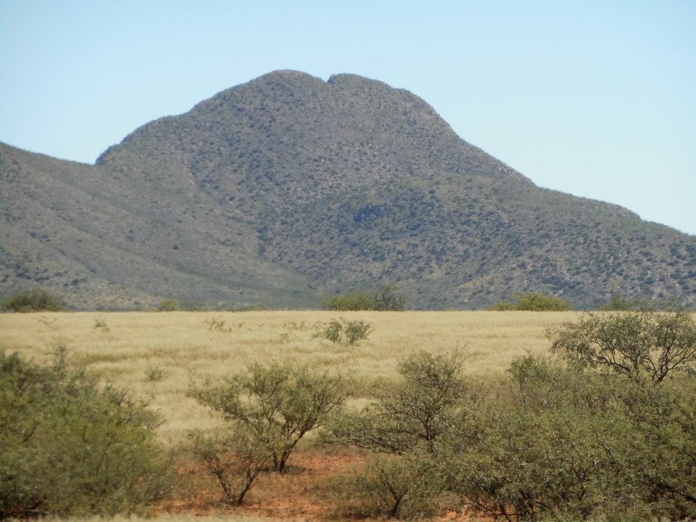
The west side of Peak 5788
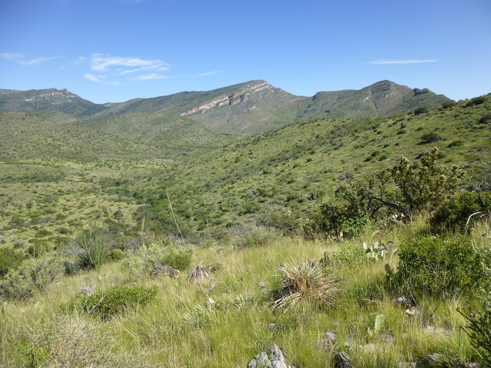
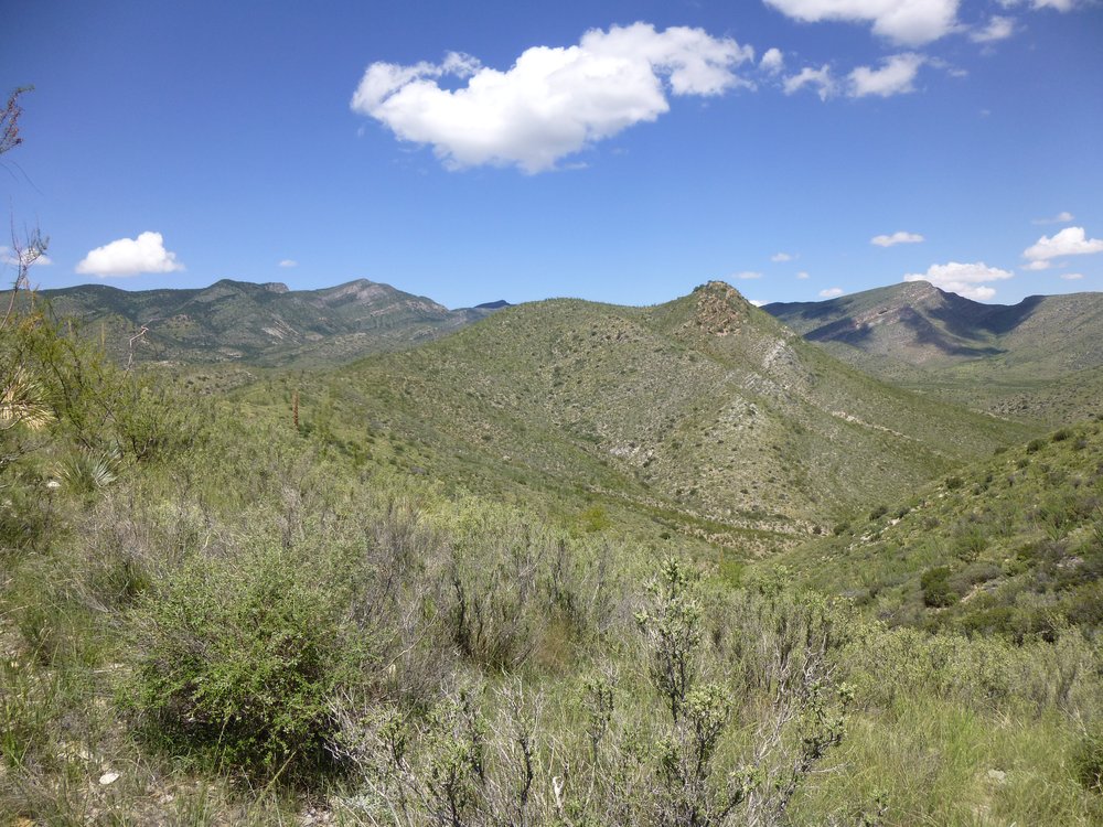
To reach our third peak, all we had to do was drop down to the northwest along a ridge, then continue by climbing up the same ridge several hundred feet to the summit of Peak 5742. We had lost hardly any elevation from the second peak to the third, and were still a thousand feet above the valley below. It was approaching noon when we arrived, and time for a lunch break. In the picture below, we were sitting on the bump farthest to the right.
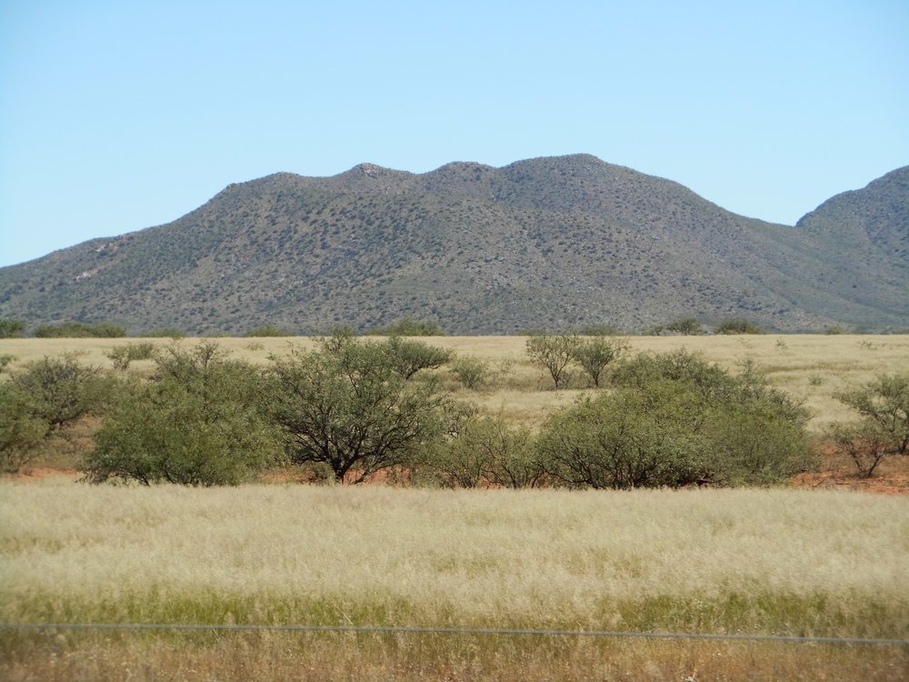
Looking northeast to Peak 5742.
We knew that the day was going to be a race against time, so after that much-needed break we set out again. More than half of what remained to do still lay in front of us and we weren’t anywhere near as fresh as we’d been when we started the day.
It was a winding, convoluted ridge we followed to drop down from the summit of Peak 5742. In the above photo, we moved from right to left, crossing over 3 distinct bumps before reaching a saddle. From that saddle at 5,300 feet, we then headed north and over 2 more bumps (seen in the next photo) to arrive on top of Peak 5664.
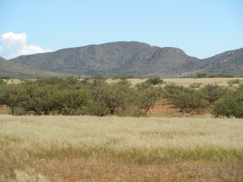
Peak 5664. The summit is in the middle, the bumps are on the right-hand ridge.
We were tiring. Four peaks done, one more to go. Have another look at the above photo. The summit is the bit that looks the highest. We headed down the long ridge to the left of it and arrived at a saddle at 5,400 feet. A choice faced us at that point – go up and over an intervening bump at 5,512 feet, or contour across its western slope to arrive at a final saddle at 5,350 feet. We chose the latter, and side-hilled for over half a mile to get there. Sometimes it takes less effort to just go up and over, but by the time we arrived at that saddle the sun was already hidden on the other side of the mountain from us. There we stood, a good 850 vertical feet below the top of Peak 6193. We were soaked in sweat and chilled. Man, that 850 feet looked like thousands, as tired as we were. We had left the highest and the toughest for the lastest, and we dreaded going up it. It was a high-prominence peak and a worthy objective, so it had to be done, right? This one had attracted others, above and beyond those who had done the previous 4 peaks of the day. Instead of heading straight for the summit, we chose to gain the southeast ridge about 300 feet below the top, then made a right turn and plodded the rest of the way up the ridge. That ridge can be seen to the right of the summit in the photo below.
Peak 6193
We were totally shagged out when we reached the summit, with barely enough energy to sign the register. It was imperative we keep moving, so without further ado we started down, retracing our steps for those first 300 feet. The ridge then turned south and finally southwest, dropping us a total of thirteen hundred vertical feet from the summit. There we were back in the lowlands. From above, we had spotted a road that headed back south – all we had to do was get to it. Eventually we did, first thrashing our way through a lot of brush near a cattle tank. Once on the road, it was all over but the shouting. A couple of miles later, we found the truck in the fading light after double-timing it all the way back. I remember how cold it felt during that road walk. What a day! Five nice peaks, 10 miles on foot with 3,655 feet of elevation gain. I promised you Whetstones cold and hot – that was the cold, now for the hot.
It was two summers later when I returned to the Whetstones, this time with Jake Cramer. Although it was late August, it can still be plenty hot in those parts. It was a short drive of two and a half miles from the highway to reach the place we’d park for the day. Even though we’d start at 4,700 feet elevation, a full 2,000 feet above the level of Tucson, we still expected a hot day. It was nice when we started out at 6:45 AM, only 68 degrees. Our goal was to do another of those loops, climbing 4 peaks in one push and finishing where we’d started. Here’s what we saw as we looked towards our first peak of the day. It was a flat walk over to it, looking like a walk in the park, but to this day we both remember it as a real bushwhack. Everything had thorns.
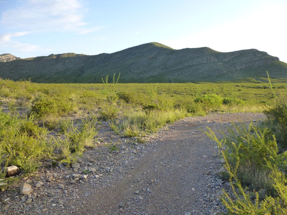
North to Earp BM from where we parked.
This is what it was like once you were in the thick of things.
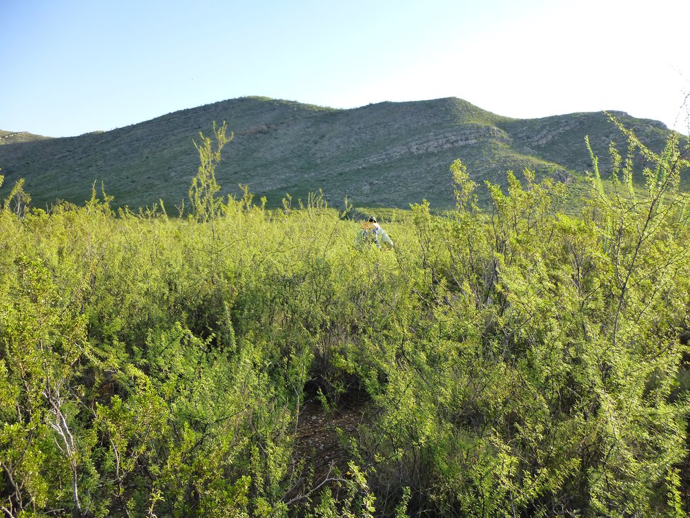
Not such a cakewalk after all.
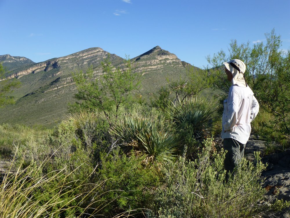
That peak had a surveyor’s mark on top, so we referred to it as Earp Benchmark. It took us an hour and ten minutes to thrash our way over to it. I’m guessing that the benchmark was so-named because the town of Tombstone lay a mere 19 miles to the east, where Wyatt Earp, the famous western lawman, made a name for himself. You can see the town from this mountain top.
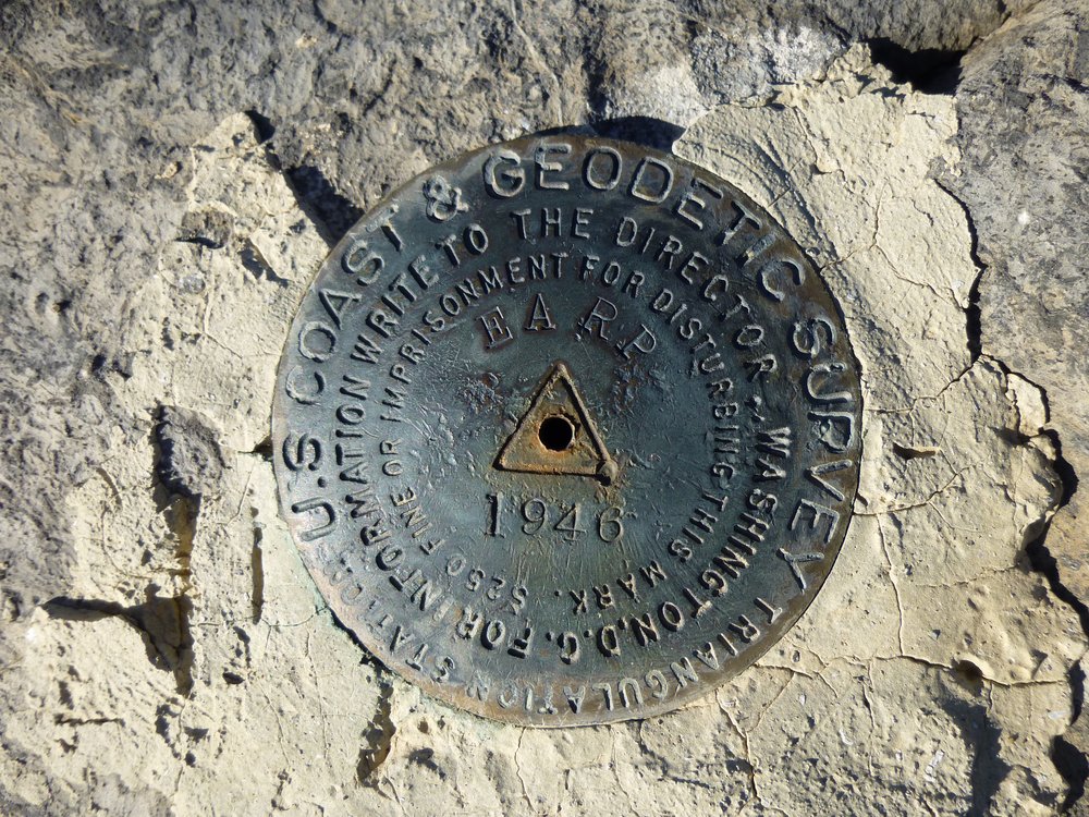
The benchmark left by the surveyors way back in 1946.
At the time of this climb, I had recently signed up to be a substitute teacher for our local school district. They had a system whereby they would notify you via an app on your cell phone if there was a job available. I was new to all of that, and while we were on Earp, my phone advised me of a job for the first time. I had been trying for days to get started as a sub but had been unsuccessful and frustrated by the process. Obviously, while atop a mountain a hundred miles from home, there was no point accepting a job for the day. The good news, though, was that a day or two later I had the system figured out and worked as a substitute for the next 7 years, full-time.
It was still early enough in the day that, even at 8:00 AM there were long shadows cast by Earp over the valley below.
Shadows
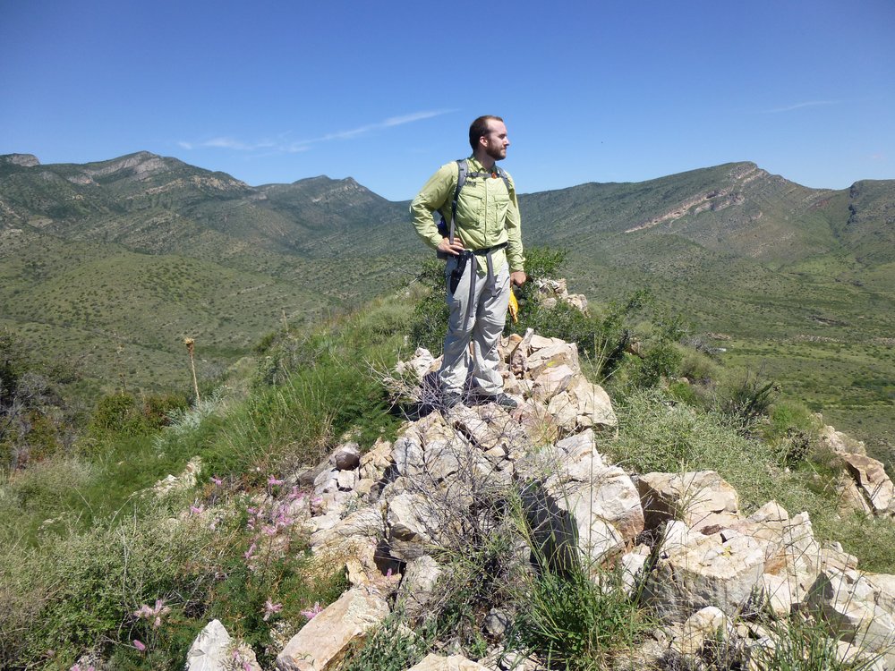
Here’s me contemplating our next move. 73 degrees on Earp.
What’s next?
To continue our loop, we dropped down the west ridge to a saddle. We had a good view to peaks farther north in the range.
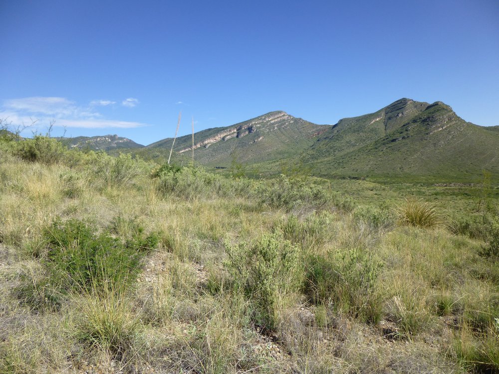
Looking north.
We could see straight up to our second peak of the day, which was simple enough up its east side.
The east side of Peak 5510
By the time we stood atop Peak 5510, it was 9:20 AM and it had warmed up to 80 degrees. We were west of Earp and a hundred feet higher. With still a lot of ground to cover, we didn’t stick around. Our next peak was farther to the west, so we dropped straight down the west side of 5510, our second one of the day.
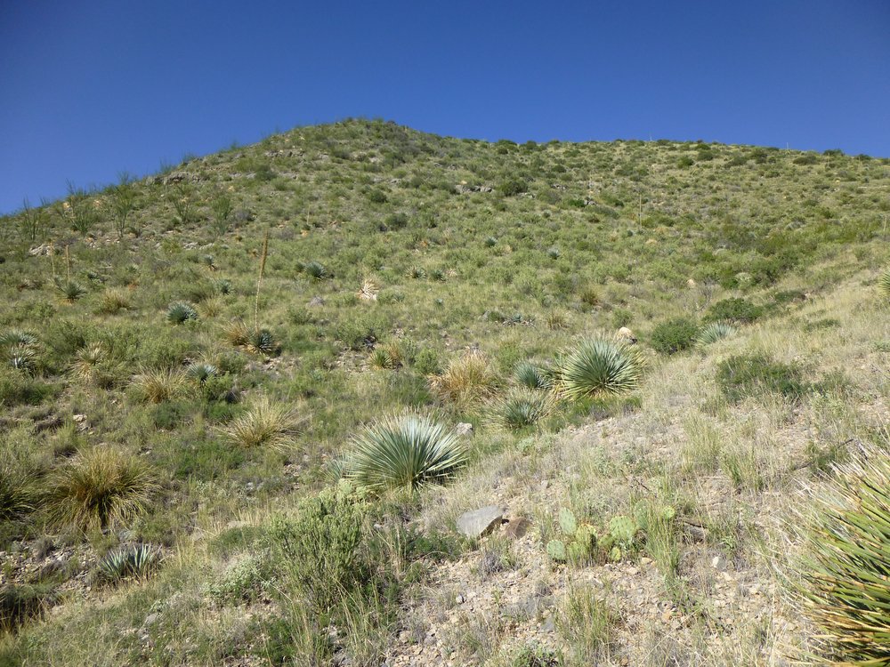
Everything looked green and healthy.
The Whetstones are an attractive range, and the views don’t disappoint. Here’s another look around.
More Whetstones
Here’s a look north to some of the higher peaks in the range, the best of which tower a full 2,000 feet above what we were doing today.
Looking north.
By the time we made it to the top of Peak 5730, the clock said 10:45 AM and it was 84 degrees. Here’s Jake on the summit.
Jake
I also took this picture of the 4th (and last) peak out there waiting for us to finish our day.
That’s Peak 5652 out there to the south, the dark green one.
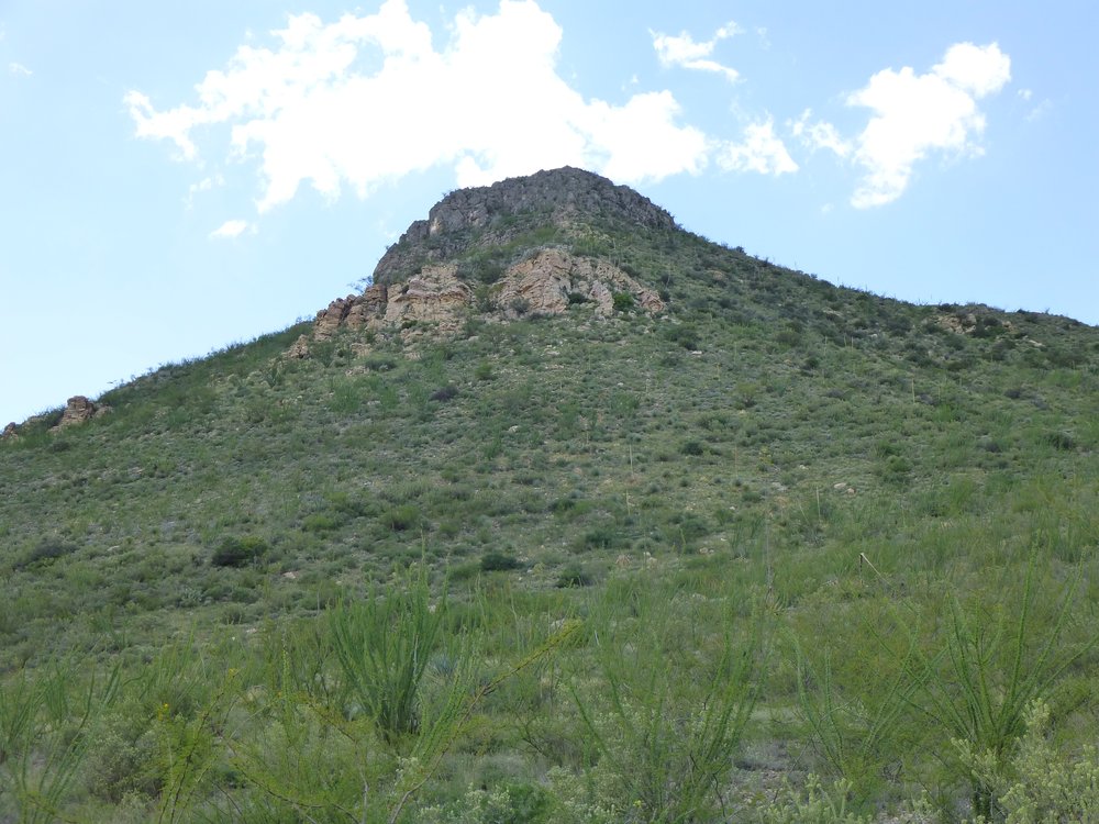
Peak 5730, our third, turned out to be the highest point we’d reach that day. We could easily see over to the next one we needed to do, but it would be the toughest stretch we’d cover on the day. Instead of heading west, as we’d done for peaks 2 and 3, we’d head south for that one. Away we went, and after a healthy amount of thrashing our way through the brush, it was 12:12 PM when we walked to the top of that fourth one, Peak 5652.
There was this pretty good look back to number three to the north. In the photo, it is about a third of the way in from the right side, in the middle distance, poking its head up into the skyline – it has a white stripe on its right-hand slope.
A look back north to Peak 5739
For the second time today, we saw bear poop. This pile was right on the summit – that’s a 4-inch camera case.
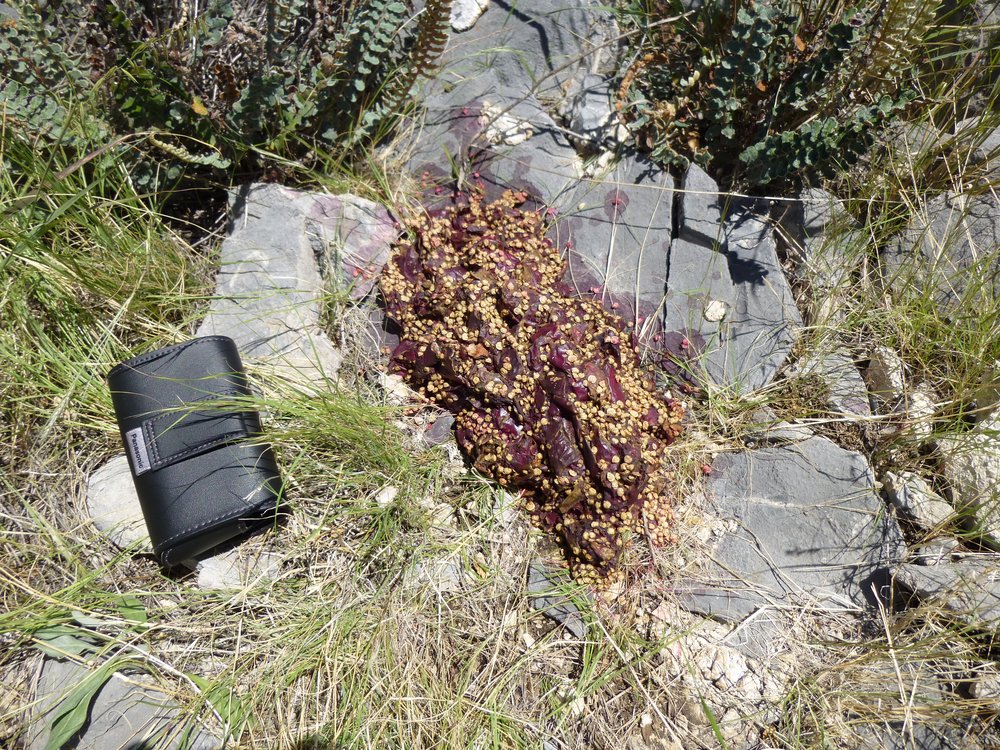
Poop
The day was definitely warming up – 89 degrees on top. The end was in sight. Down below, we could see a cattle tank (pond). There, we’d pick up a road.
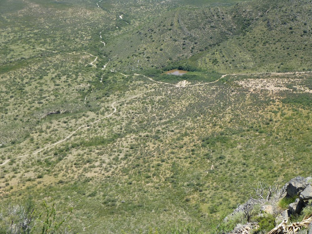
The tank.
After signing in to our last register of the day, we started down. There were a few cliffs to dodge near the summit. Part-way down, we came upon a mining claim-post with the claim tag attached. These are common in Arizona.
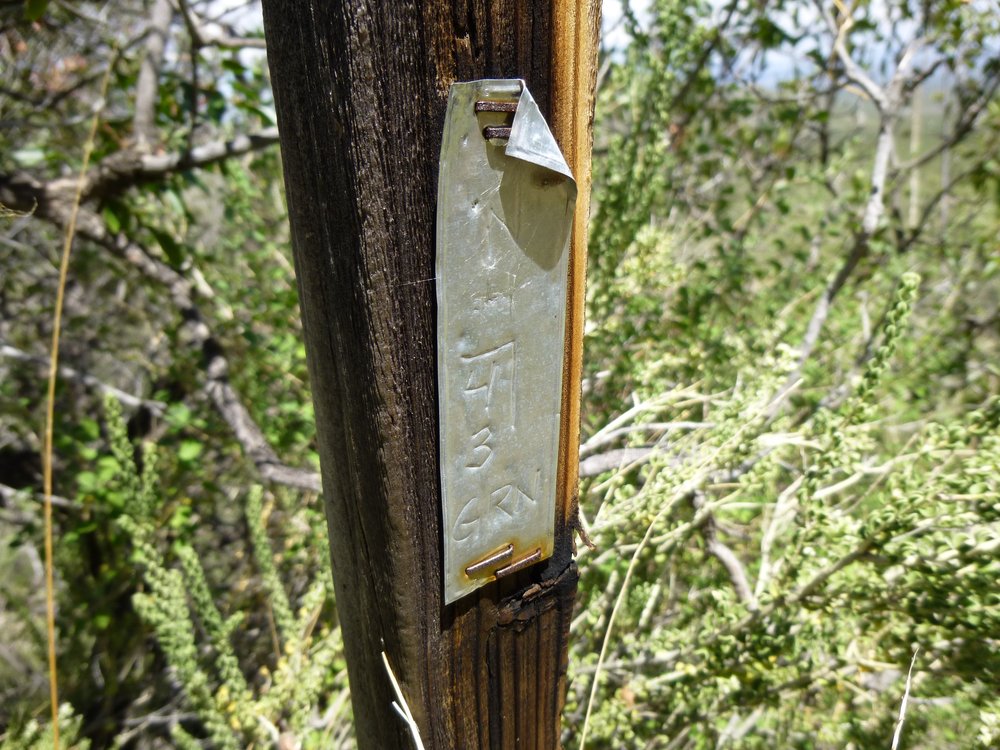
Claim post.
We also found this agave. After a number of years, they expend all their energy and send up this huge shoot to produce seeds before dying.
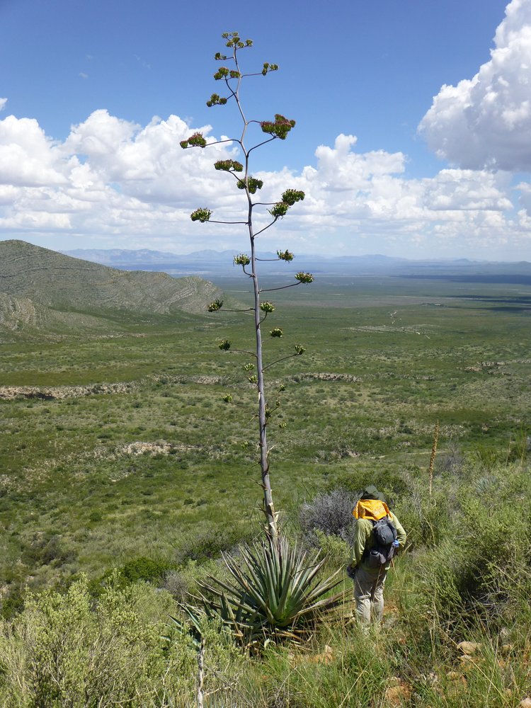
Agave.
At the base of the mountain, near the tank, we encountered the remains of this poor beast.
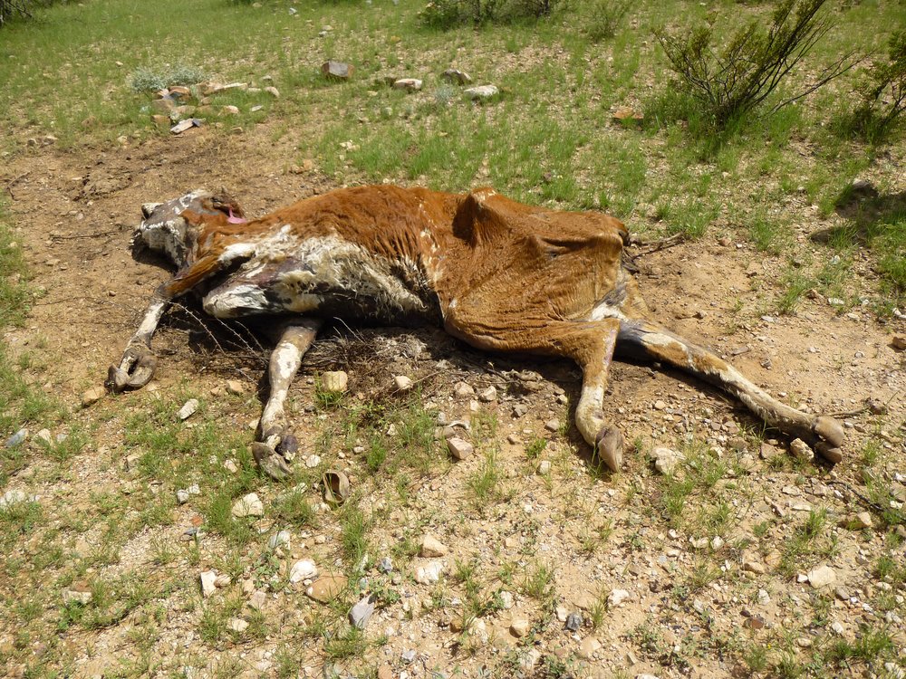
The one that didn’t make it.
We also had this look back up to that fourth and final peak of the day.
The east side of Peak 5652.
At 2:45 PM we arrived back at the truck – it was a toasty 94 degrees, but it could’ve been worse. Another productive day, with 5.5 miles covered and 2,475 feet of elevation gained. Days like this one, doing multiple peaks in one push, can be challenging and enjoyable – this one was both.
By the way, the Arizona Place Names book says about the range “So called because there exists a deposit or ledge of rock known as Novaculite or whetstone of the finest quality.” It also describes the range as “the scene of many Indian battles.” The name first appears on maps in 1879.