
I hadn’t done any climbing in Utah since 1991, so when Dave Jurasevich suggested we go there in the summer of 2017 and bag some peaks together, I was on board. And here’s an added bonus – since he was talking June, the hottest month in my home town, I’d get a welcome respite from the heat. Dave and his wife En Lee even planned the whole thing – which peaks, the routes, the maps – all I had to do was follow their lead and have some fun. How could I refuse?
On Monday the 19th, we met on the North Rim of the Grand Canyon, did some looking around, then headed the next morning up to Utah. Once we entered the state, we used US Highway 89 to motor north to the town of Monroe. Dave then guided us up good dirt roads a full 5,000 vertical feet to the summit of Monroe Peak.
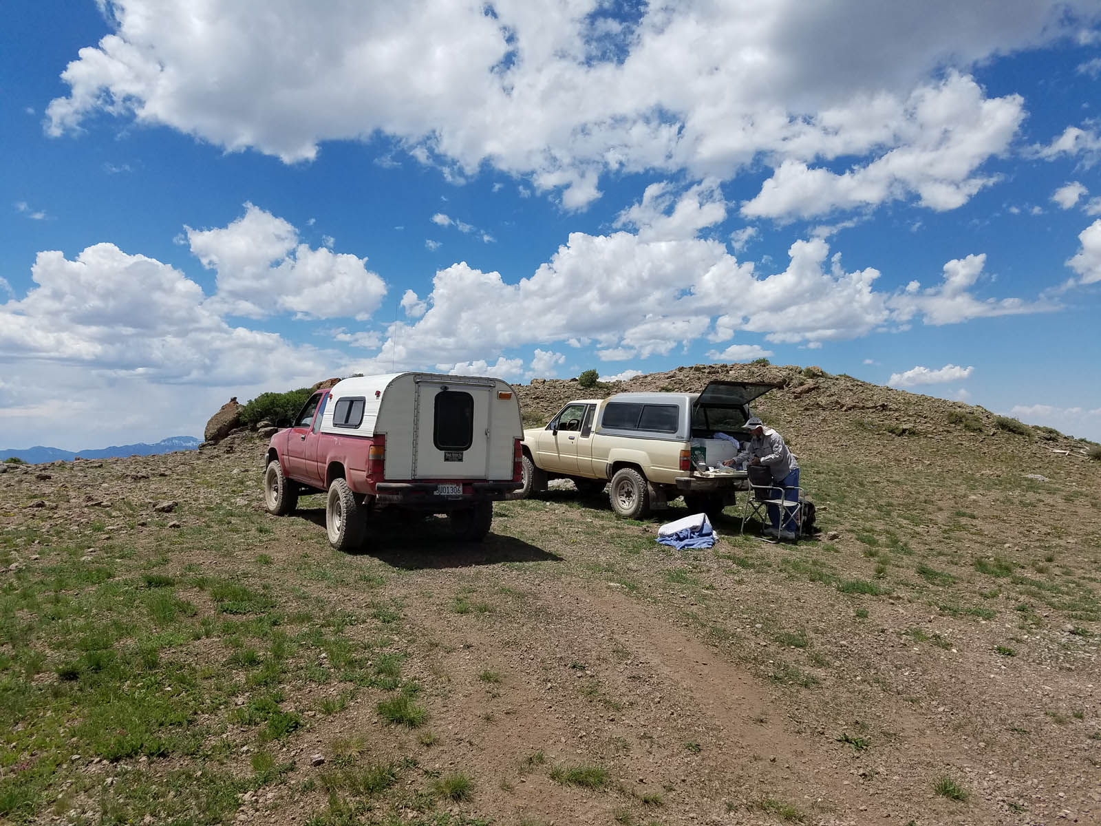
Parked on top of Monroe Peak
See the little bump behind the trucks? It was a casual walk over to it, the top of the mountain at 11,227 feet. We found a register, signed in, then drove back down the road to camp at just over 11,000 feet in a grassy meadow. An idyllic afternoon was spent doing absolutely nothing. I had forgotten how high one can drive on these Utah peaks. I mean, this was crazy high. In the entire Rocky Mountain chain in Canada, there are only 42 peaks which attain an elevation higher than the spot where our trucks were parked! We had great cell phone connectivity up there – I called home, only to learn that the temperature at our house was 116 degrees F (47 degrees Celsius). The 54 degrees F we enjoyed on the summit almost made me feel guilty.
Bright and early the next morning, we drove back down the 5,000 vertical feet to the town of Monroe, then on to Richfield. After topping up our gas tanks, we drove many miles of very dusty roads higher and higher until finally parking at a 10,000′ saddle. It was a quick half-mile along a pleasant ridge to the top of Mine Camp Peak. A bright-red Richard Carey register awaited, and we signed in.
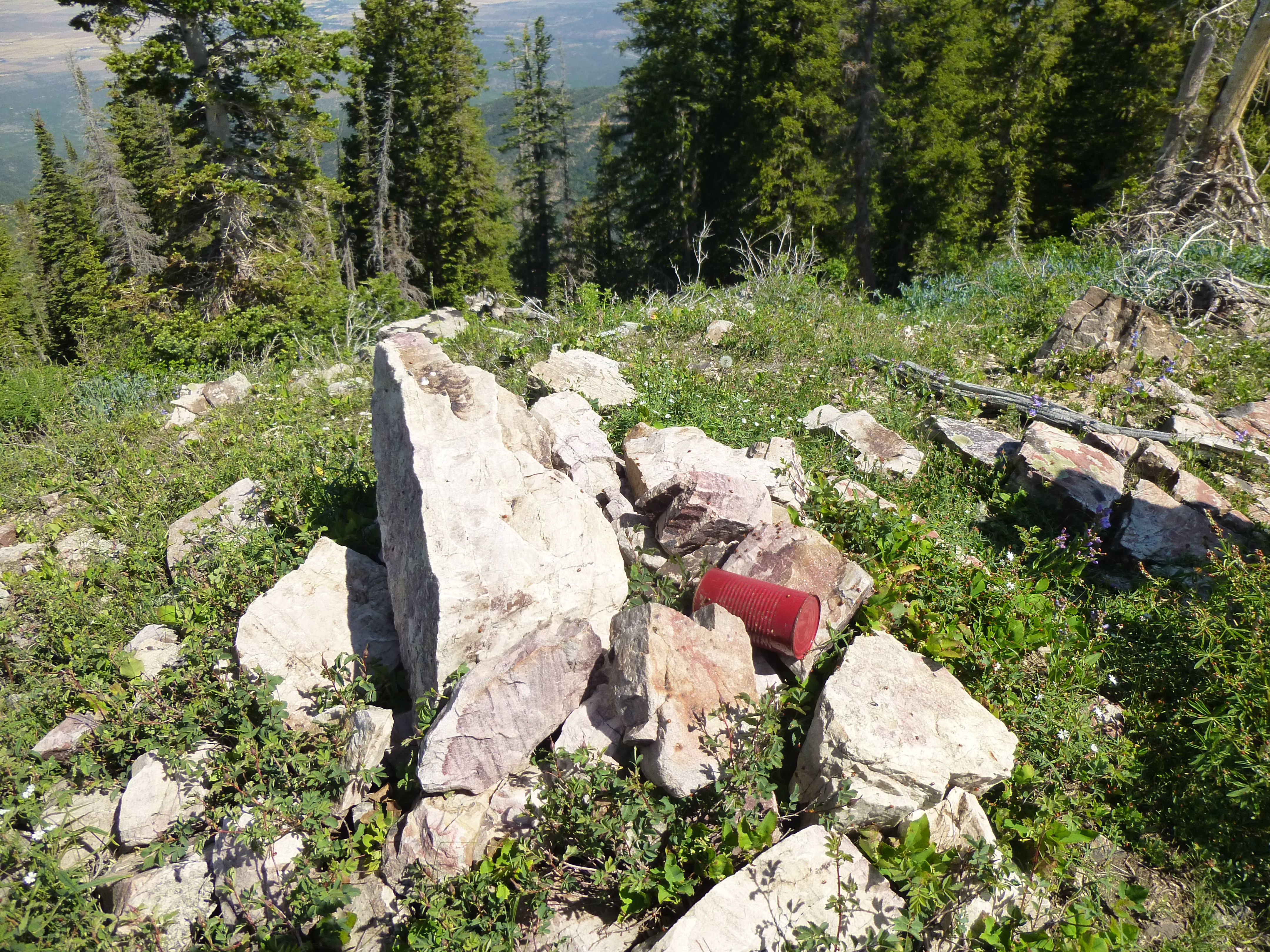
The register
It was another perfect blue-sky day as we walked through fields of alpine flowers on our way back to the trucks. Nearby was another mountain we wished to visit, White Pine Peak, also over 10,000 feet elevation. It had a road to the summit and we stopped only briefly.
White Pine Peak
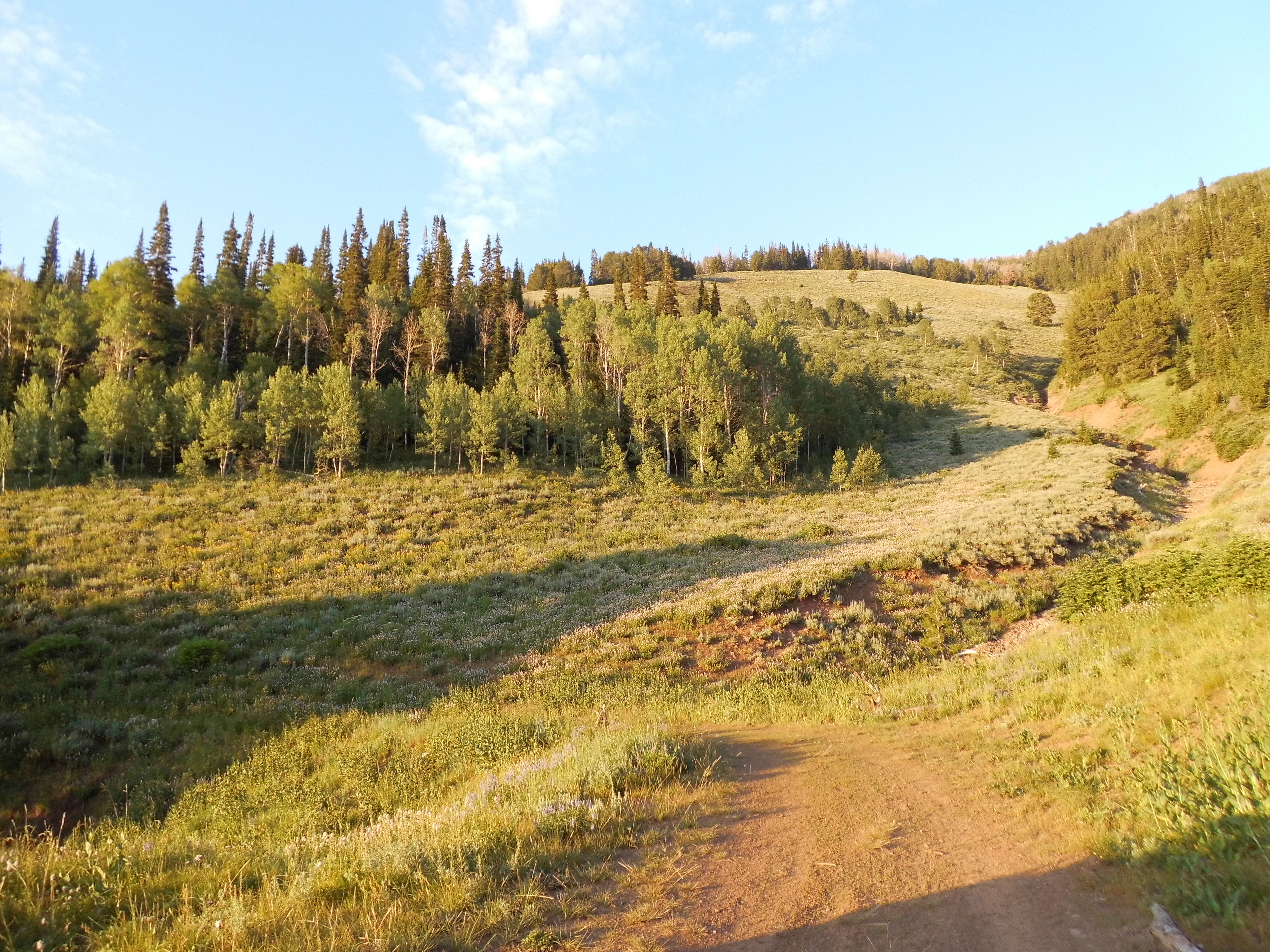
By the time we’d driven the long, dusty miles back down to pavement, then along a freeway and state highways, and up miles of good dirt road to about 10,400 feet, the day was wearing on. We needed 4WD for the next part, a steep, rough climb to 11,000 feet. The road became more level but was annoyingly rocky. After 2 1/2 miles, we parked in an open meadow and made ready for a short climb. We could see our objective a short distance away.
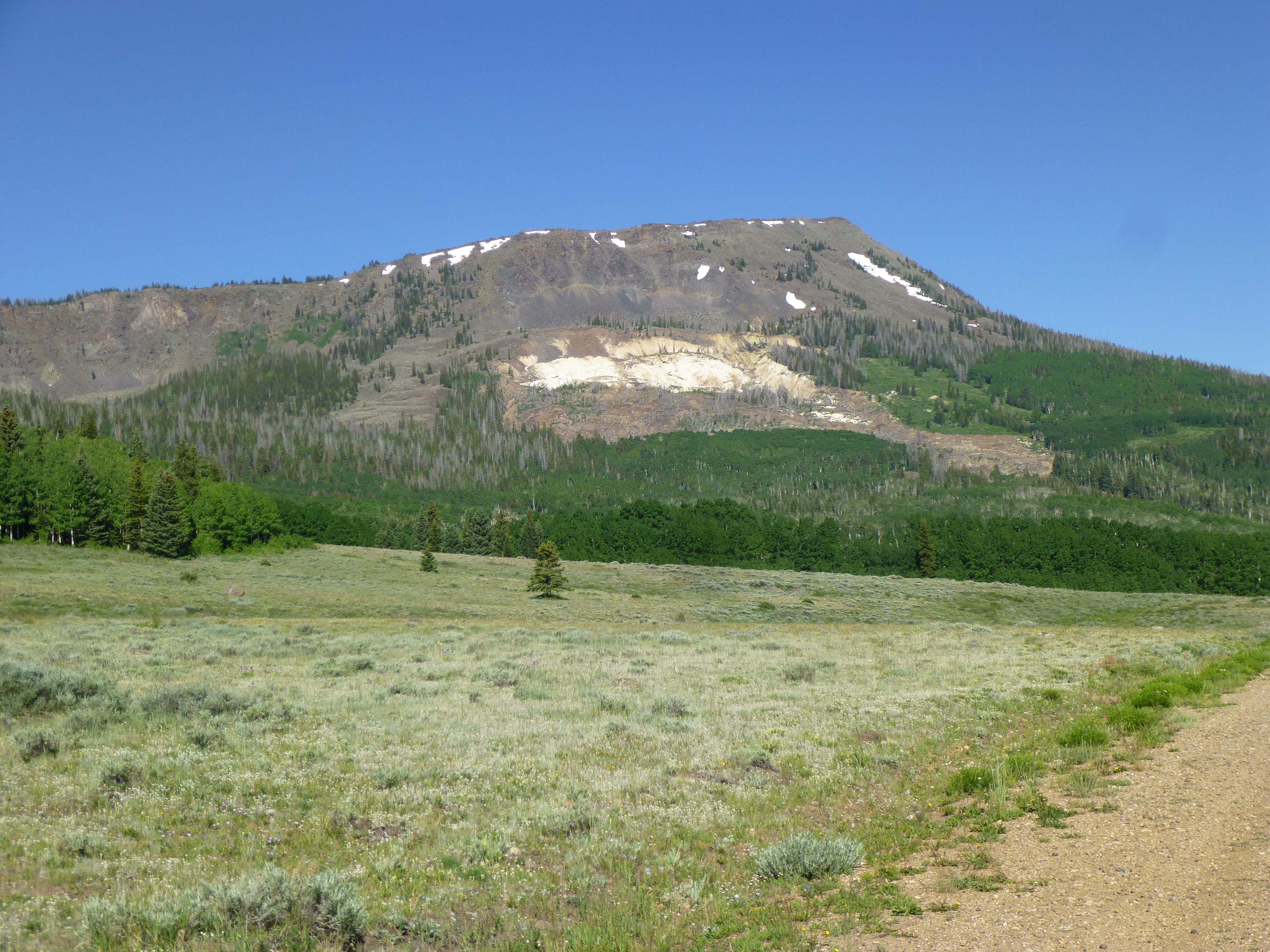
Fish Lake Hightop Plateau
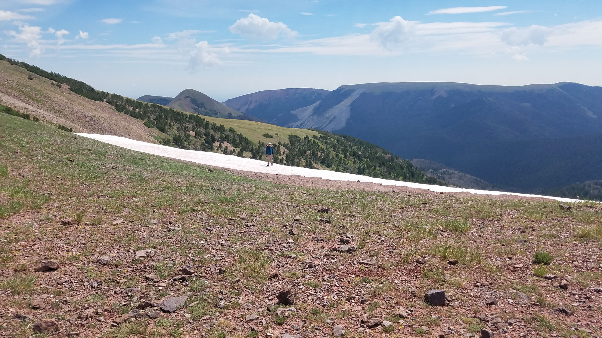
A short walk away was a ridge, which we followed through a wonderland of huge boulders and snow patches.
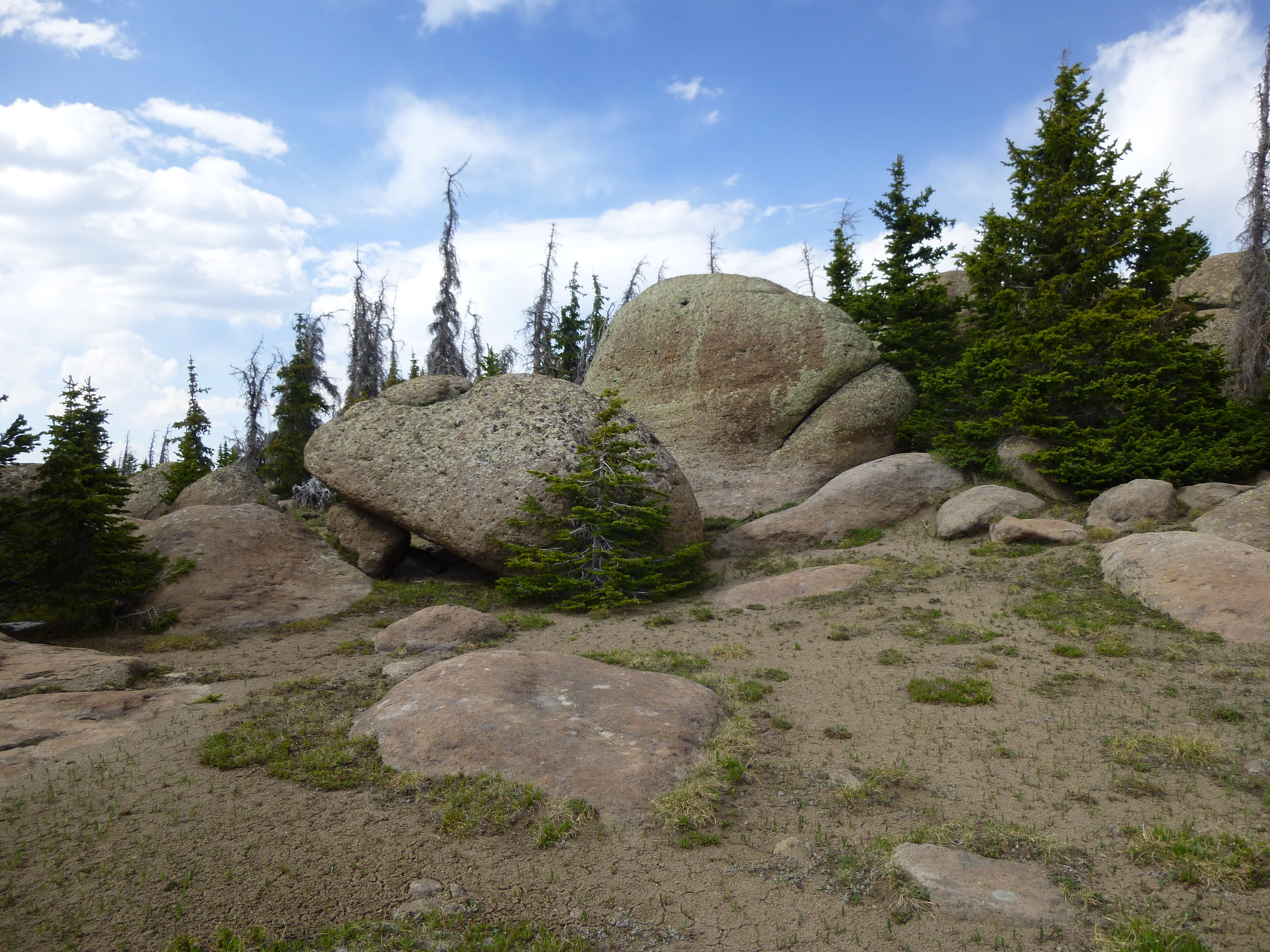
Fish Lake Hightop Plateau was our highest peak yet, at 11,633 feet. The register had been destroyed, so we replaced it with another, then enjoyed a leisurely walk back to our campsite in the meadow. Had it not been for the hordes of bloodthirsty mosquitoes, this would have been a great spot.
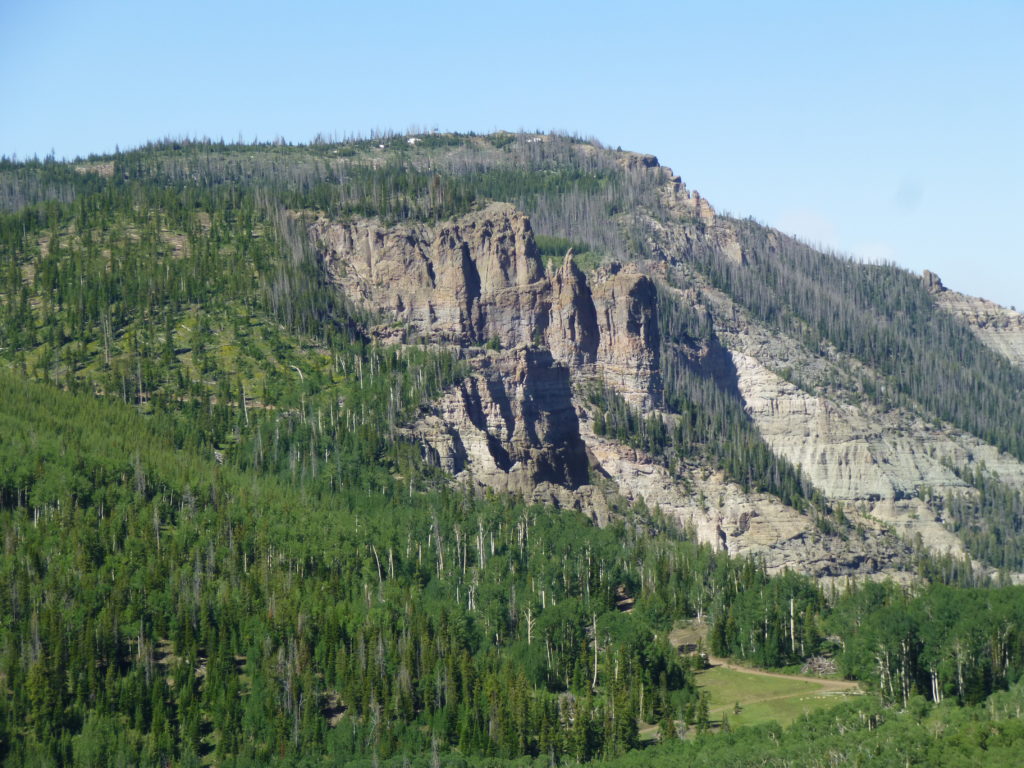
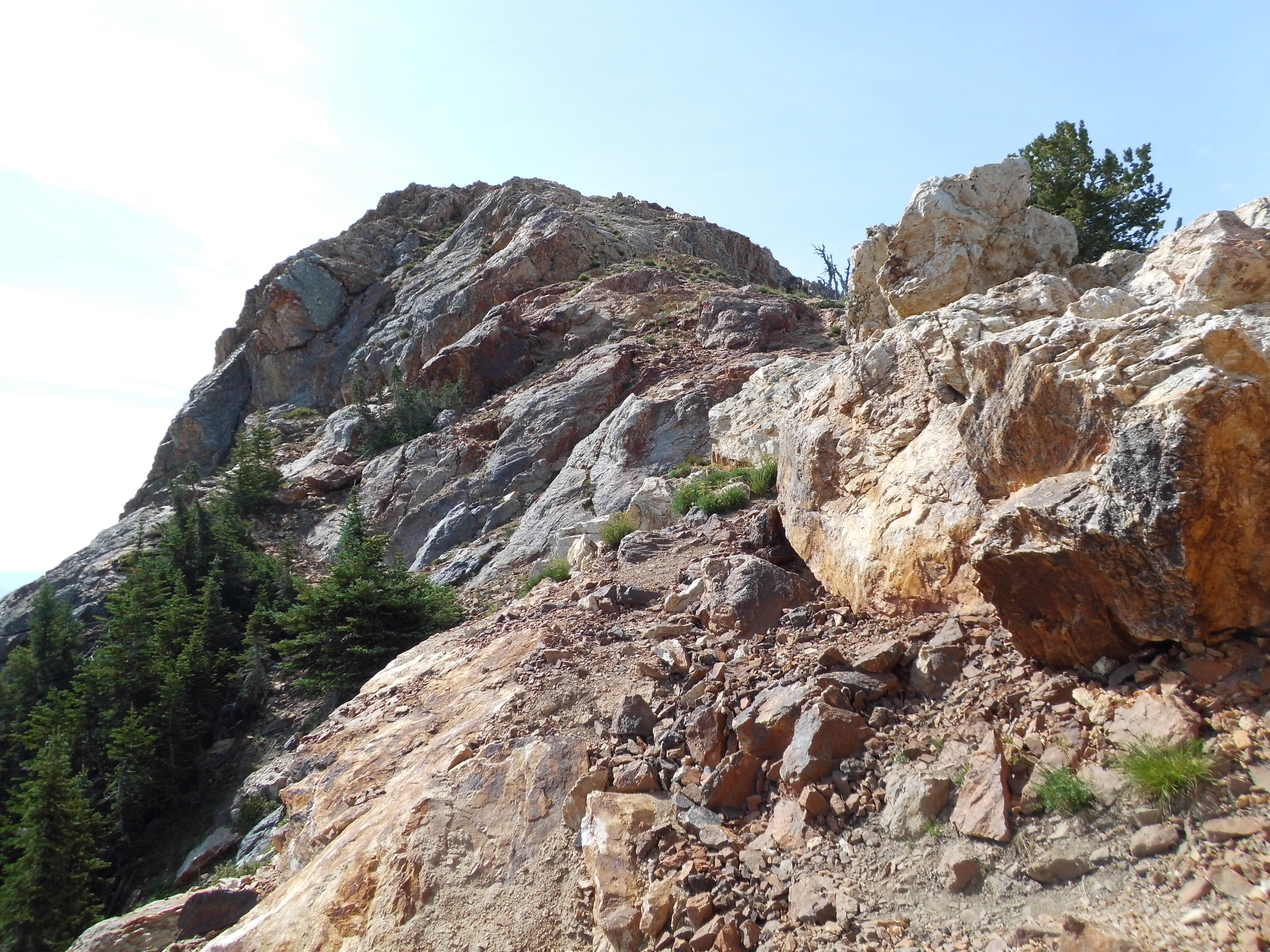
We cut out of there early the next morning, made our way down to pavement, past Fish Lake and covered many more miles on excellent state highways. Some time later we turned off on to another dirt road and made our way through miles of meadow and forest, finally parking in a secluded spot. Our information told of a trail of sorts – it took a while to find it, but when we did it took us up to treeline. After that, it was a steep scramble up to the summit of Hilgard Mountain, where we arrived by 11:00 AM. The north ridge, seen on the right skyline in the picture below, was the route we followed, and this was our favorite peak so far.
The east side of Hilgard Mountain
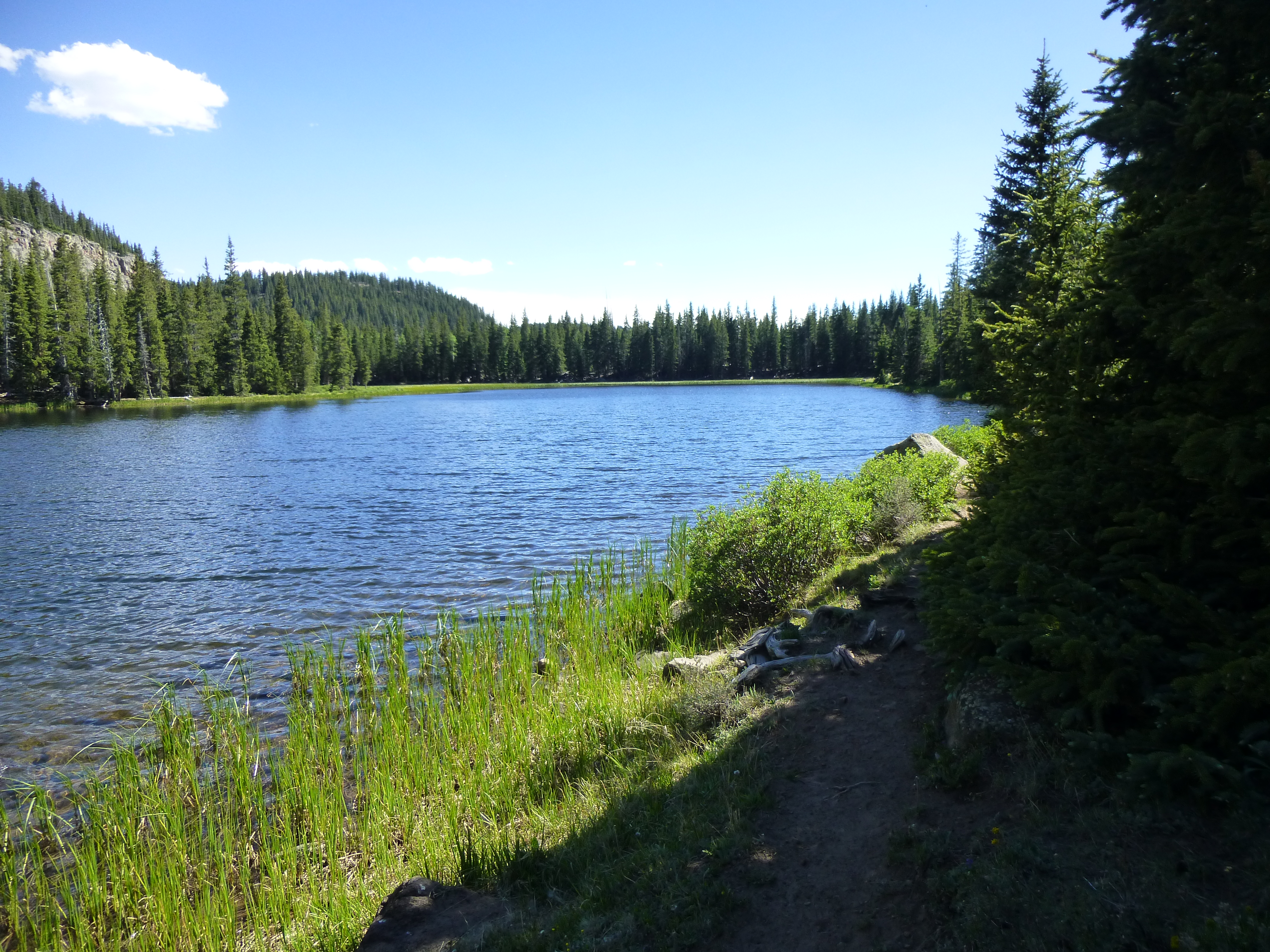
Once back down to the trucks, we enjoyed a leisurely drive back out to the highway. At the small town of Loa, we gassed up and then headed back north. We turned off on to a good dirt road which took us high up, eventually parking by Snow Lake at 10,530 feet.
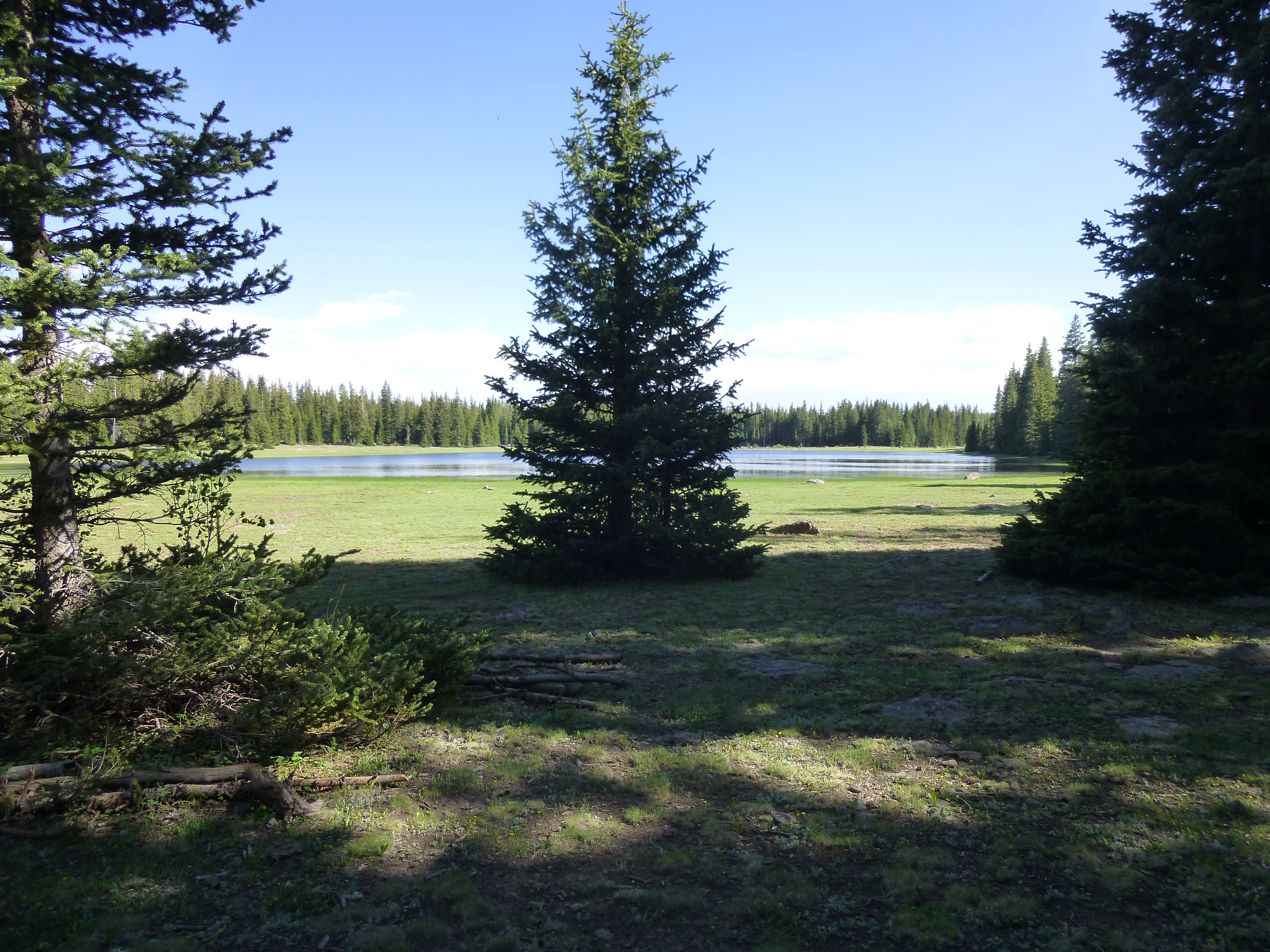
Snow Lake
The day was wearing on, and by the time we set out for our next peak it was already 4:30 PM. It took a bit of looking to find the start of a trail, but once we did it switchbacked steeply up through the forest to an aptly-named area called Flat Top. A walk through a dense forest (dense enough that we flagged our route) eventually brought us to an open area and the summit of Thousand Lake Mountain.
The summit – 11,306 feet
This was a beautiful spot at a lovely time of day. Here’s a view I just have to share with you – looking east and 5,000 vertical feet down to Capital Reef National Park, a long telephoto.
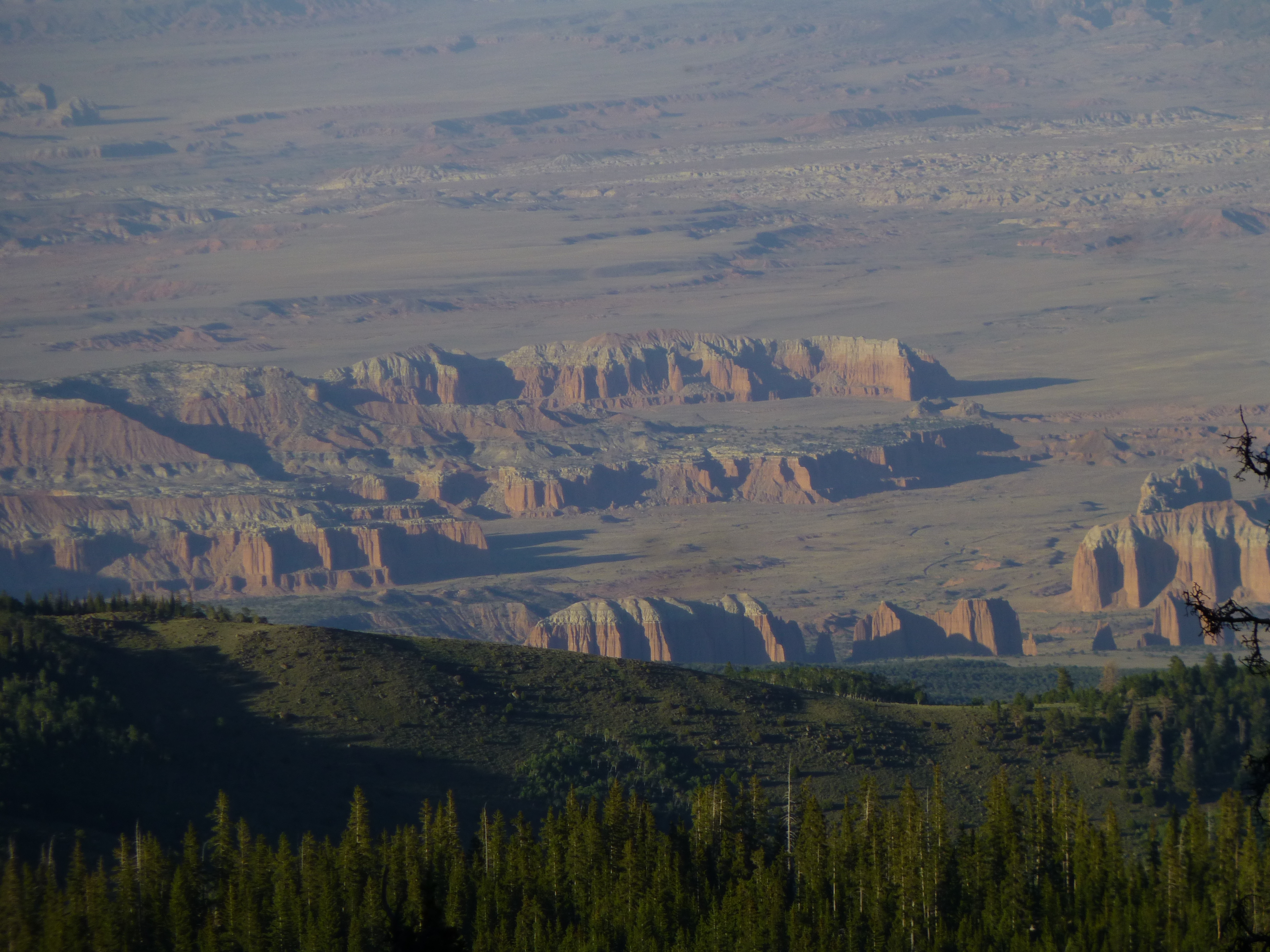
Capital Reef late in the day
We hated to leave. That night was spent camped near the lake, and it was a chilly 55 degrees by sunset (with an even cooler 45 degrees the next morning).
Dave was doing an amazing job of choreographing our trip, making sure we drove the fewest possible miles between peaks. Before we knew it, we were parked at the base of Geyser Peak.
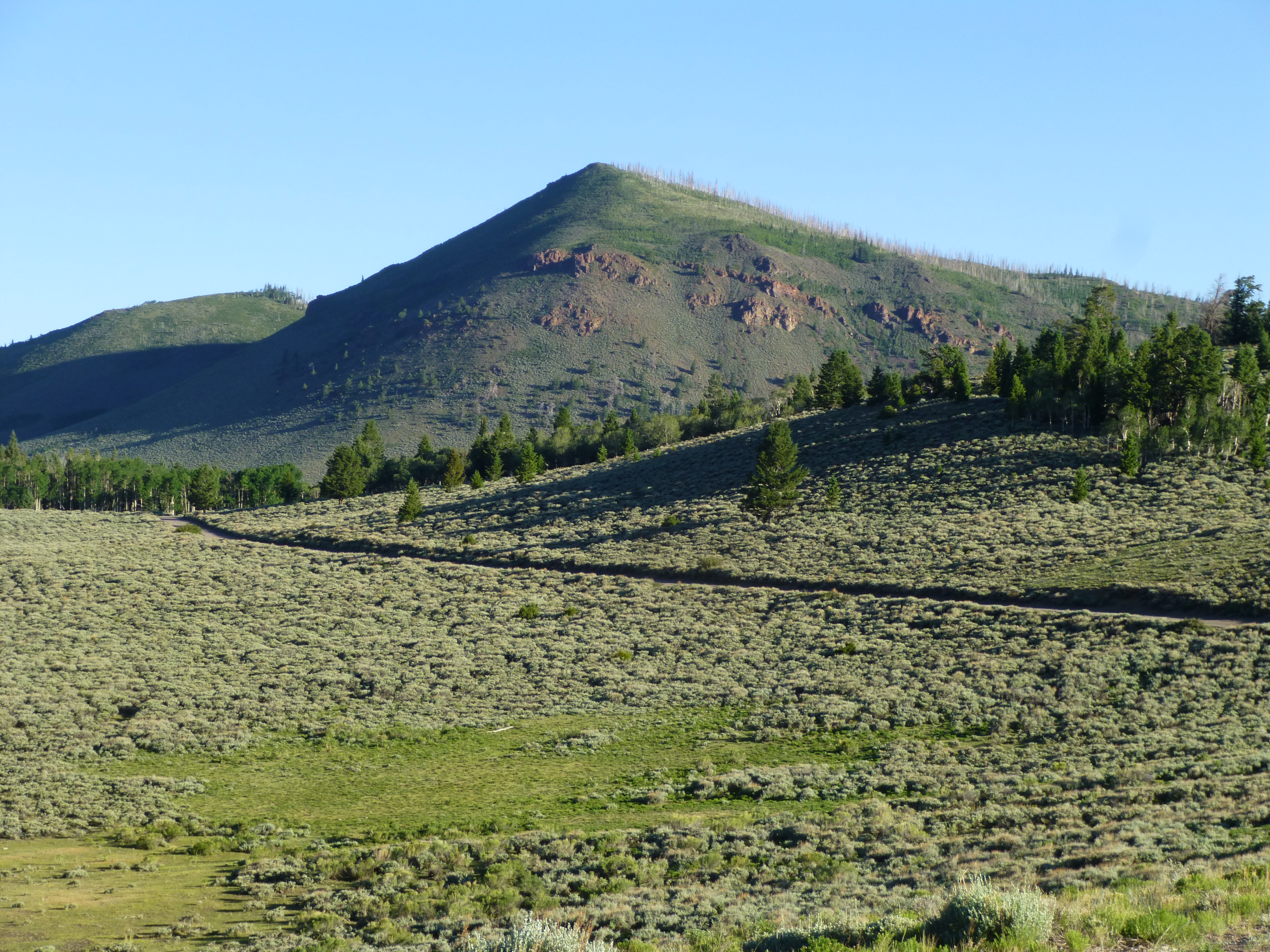
Geyser Peak
The climb was steep in places, with a bit of rock and a mixture of evergreens and aspens. The register was well-populated with the usual suspects, and we spent a while soaking up another incredible view. All good things must end, so we strolled back to the trucks, then drove back to the town of Loa. I then followed Dave for 23 miles up some of the dustiest roads imaginable to reach a high plateau, named on the map as Boulder Mountain. This thing was huge, covering many miles at an elevation above 11,000 feet. Dave led us close to the highest point. We parked and took a short walk over to a spot called Bluebell Knoll.

The highest point
It was impressive how you could drive up so high on many of these Utah peaks. We tried to camp up as high as possible to have a cool night’s sleep, but on this one we couldn’t find a spot that wasn’t right next to the dusty road. We gave up and drove back down the mountain to a spot called Miller Lake. Even here, we were still at 10,650 feet elevation.
Miller Lake
This was perhaps the most relaxed day so far. I took a walk around the lake, washed my hair and cooked a meal. We sat around and took it easy, chatting about old times spent in the mountains together.
At 5:00 AM the next morning, it was a chilly 35 degrees. Back home, it was 115 – I felt guilty. We made our way back down to a paved highway and, miles later, arrived in the town of Antimony. Twenty-plus miles of dirt roads later put us once again up high. It was an easy walk to our last peak, Mount Dutton.
Mount Dutton
A hunter with his dogs and horses greeted us where we parked. He said he’d seen mountain goats on the north slope of the peak earlier in the day, but we were to see none. This was the end of our 5th day in Utah, our last, and it was bittersweet. True, several of our peaks had been short climbs, but we had seen a lot of amazing country and were sorry to have our trip come to an and. We convoyed down to the highway, then out to Interstate 15. A forest fire had started, its plume creeping across the sky – sadly, it would spread and become huge, causing much loss of property and incinerating vast tracts of woodland.
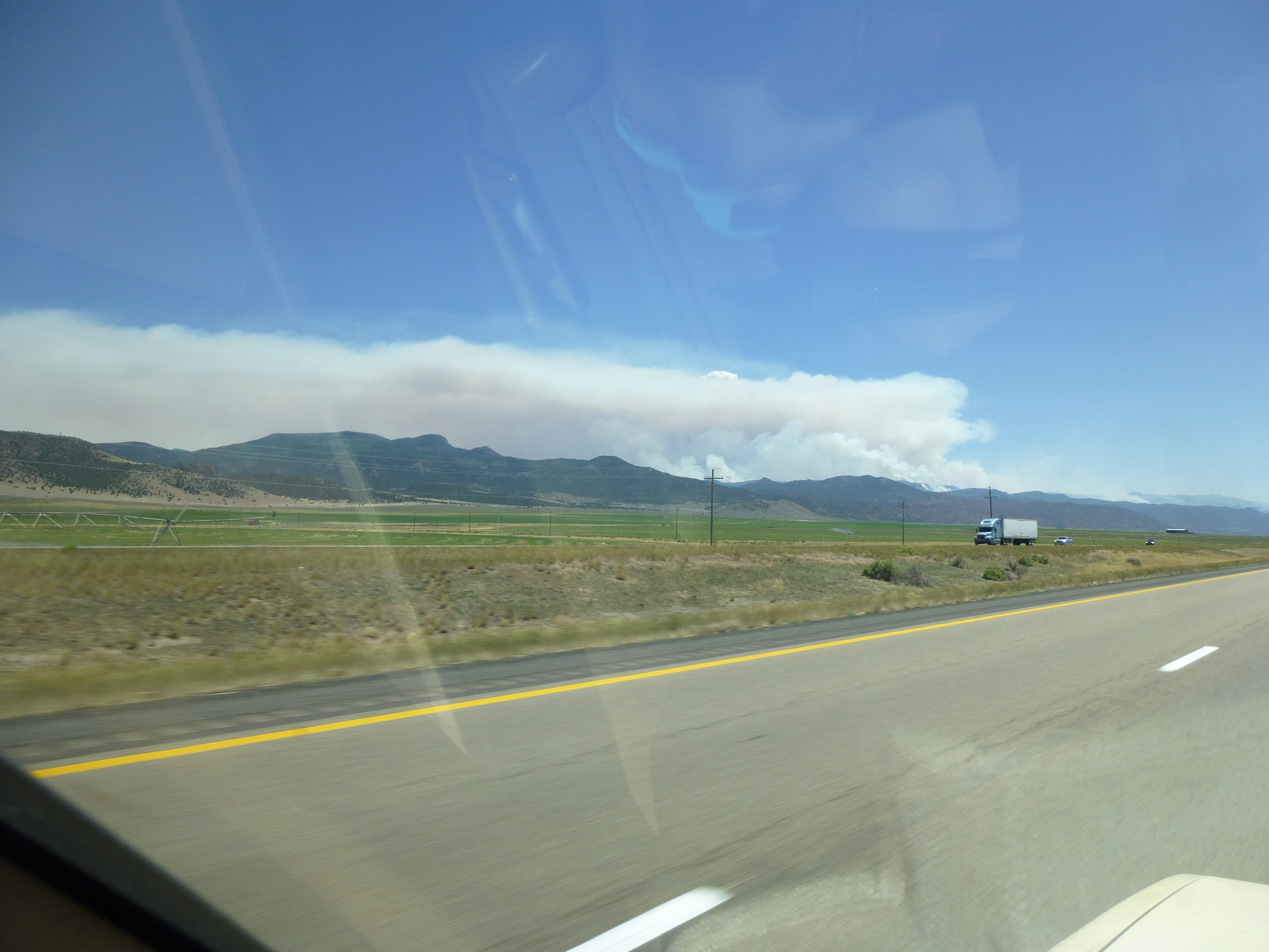
The fire
I kept in touch with Dave and En Lee by 2-meter ham radio until Las Vegas, then we went our separate ways. Over the next year, we kept closely in touch – it was no surprise when Dave suggested a return visit to Utah to enjoy more of its high peaks. The difference this time, however, would be that a lot more actual climbing would occur, and less driving in close to summits.
On Thursday, July 12, 2018 I made my way north from Tucson. Near Flagstaff, I climbed one peak and then camped for the night. Taking a break from the summer heat was one of my main goals, and I spent that first night at 7,500 feet – nice! The second day of my trip saw me stopping for lunch in Kayenta, Arizona on the Navajo Indian Reservation. This brought back strong memories of a cold, wintery climb I did one night in a snowstorm back in 1986 near here. The peak was Black Mesa, towering 2,400 feet above the town.
Black Mesa
While in the restaurant, a curious thing happened – I overheard a conversation in French, about the last thing I’d have expected in this part of the world. I jumped in and spoke with a woman and her teenagers from Lyon who were traveling the desert southwest on a vacation. I had recently returned from a trip to Quebec, so we had a fun visit.
As I headed north towards Utah, I passed spectacular sights such as Agathla Peak.
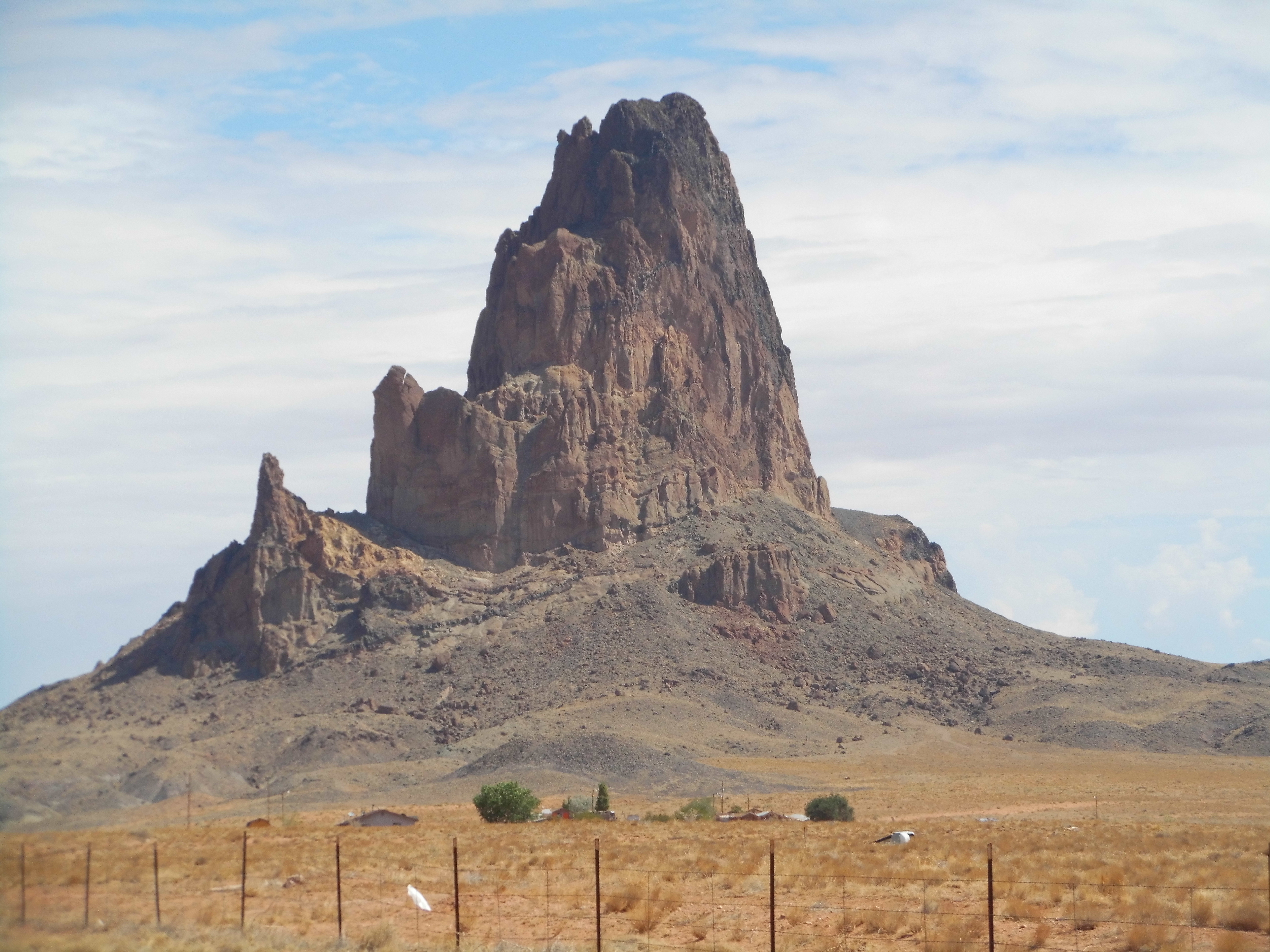
Agathla Peak
And the world-famous Monument Valley.
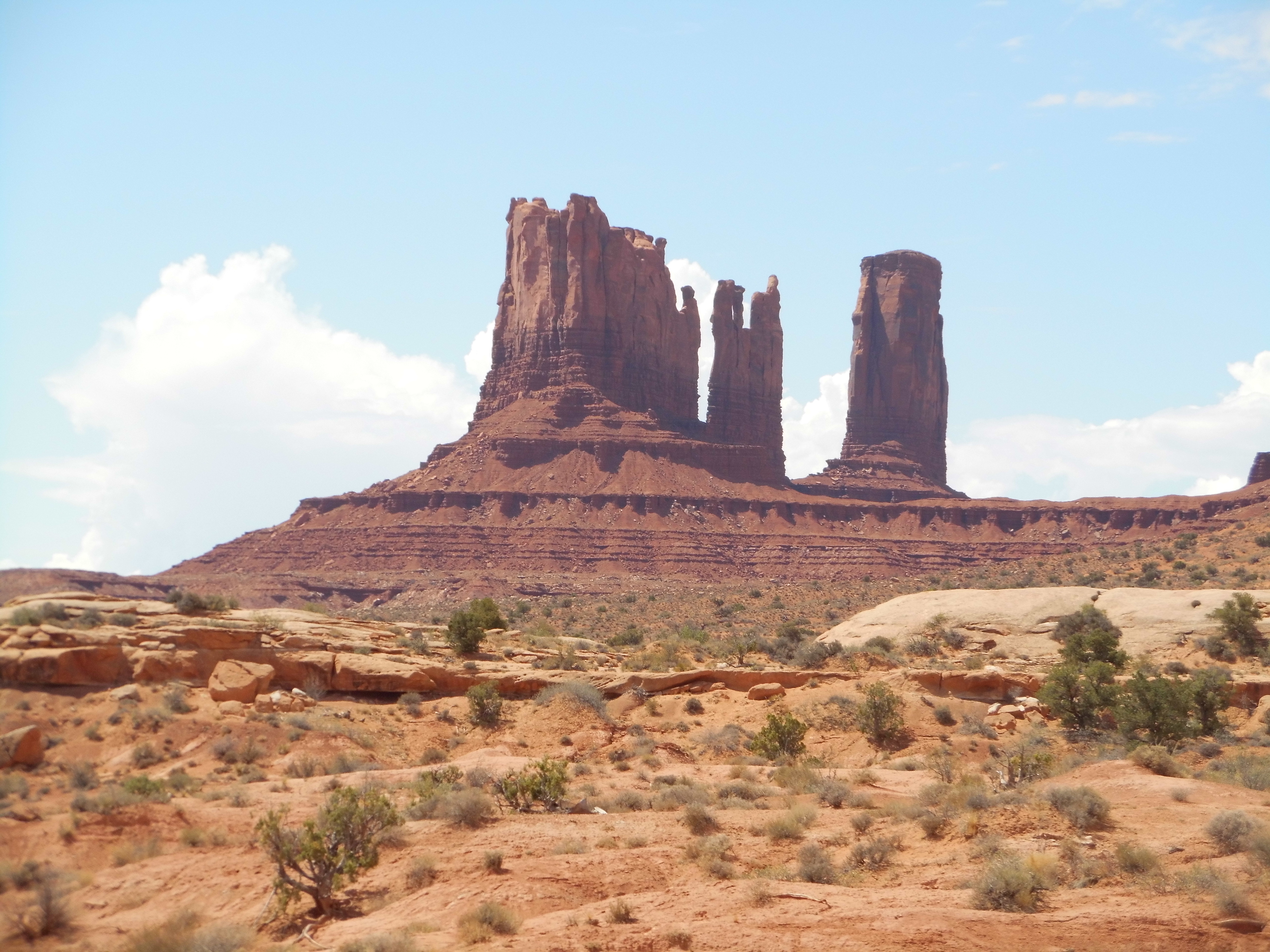
Monument Valley
I drove for hours through spectacular redrock country, through such places as Mexican Hat, Bluff, White Mesa and Blanding. By noon, I was fixing myself a lunch in a city park in the town of Monticello, Utah. Mid-afternoon saw me high in the Abajo Mountains, ready to climb, and I spent the next 2 glorious days going up and down 11,000-foot peaks. You might enjoy the story I’ve written about that range on this site. I arrived on Friday, climbed 6 peaks, and Sunday afternoon saw me back down in town. It took the rest of the afternoon to drive 150 miles to the town of Hanksville, Utah. When I stepped out of the truck to gas up, it was like walking into an oven, easily 100 degrees.
I didn’t linger, driving about 20 miles south through the desert and high up into the Henry Mountains, where I spent a few stormy days climbing more 11,000-foot peaks and having some exciting adventures. That has also been described in detail in this story, previously published on this web site. A few days later, I drove back down to Hanksville. Remember Dave? It was now time to meet and climb together.
Dave had left his Los Angeles home earlier than I, and had been climbing a lot of Utah peaks on the other side of the state while I worked the Abajos and the Henrys. He had patiently waited 6 days for me while I had my way with those ranges, but now we would meet. A drive of 43 miles north on Highway 24 brought me to Interstate 70, just west of Green River. Then began a most unusual segment of my trip: I needed to drive west about 90 miles to the town of Salina, but along that entire distance there was not a trace of humanity. Oh, of course there were the other vehicles on the freeway along with me, but I didn’t see a single structure of any kind, nor even a single animal such as a cow – nothing but beautiful scenery. I found the drive tiring, and I couldn’t wait to leave that endless freeway. Salina didn’t offer much, so I continued north on a state highway. What should have taken an easy hour took double that due to annoying stretches of road construction. By the time I reached the town of Nephi on Interstate 15, I was tired and irritable. After gassing up, I continued, climbing higher and higher on the Nebo Scenic Road. Dave had given me clear instructions as to where to meet him, but the farther I drove, the more skeptical I became – I didn’t know the area and nothing seemed right. I almost turned around and went back to Nephi, so frustrated did I become. At last, there he was, parked right where he said he’d be. By that time, I was fit to be tied.
It wasn’t just me, though. The hood of Dave’s truck was ominously raised, and he wore a very concerned look. Here we were, parked at 9,000 feet at our trailhead for Mount Nebo, and it didn’t appear we were going anywhere anytime soon. I’ll spare you the details, but it ended with a wrecker taking his truck to a Toyota dealer in Orem while we rode together in mine. After a night in a hotel (thanks to Dave for his generosity), the next morning the shop told us to check back later for their diagnosis. No point wasting a whole day, so we hopped in my truck and drove an hour to the very top of Peak 7690, the high point of the Lake Mountains. The large summit held many towers of all shapes and sizes.
Strange stuff
We enjoyed a beer under a shady tree, then headed back to town. The shop told Dave it’d be another day before his truck was ready, so he opted for another night in the hotel while he sent me out to climb a highly-recommended peak. I spent the rest of the day getting to a campground at my trailhead, then settled in for a good night’s sleep.
I was moving by headlamp at 5:30 AM, up a trail in Mill Fork Valley. Day broke, and after 3 hours of climbing I had reached a saddle above treeline. It took another hour and a quarter to reach the summit of Deseret Peak at 11,031 feet. What a great climb – the whole mountain was beautiful and worth every bit of effort. It had one of those ammo box registers, and I signed in.
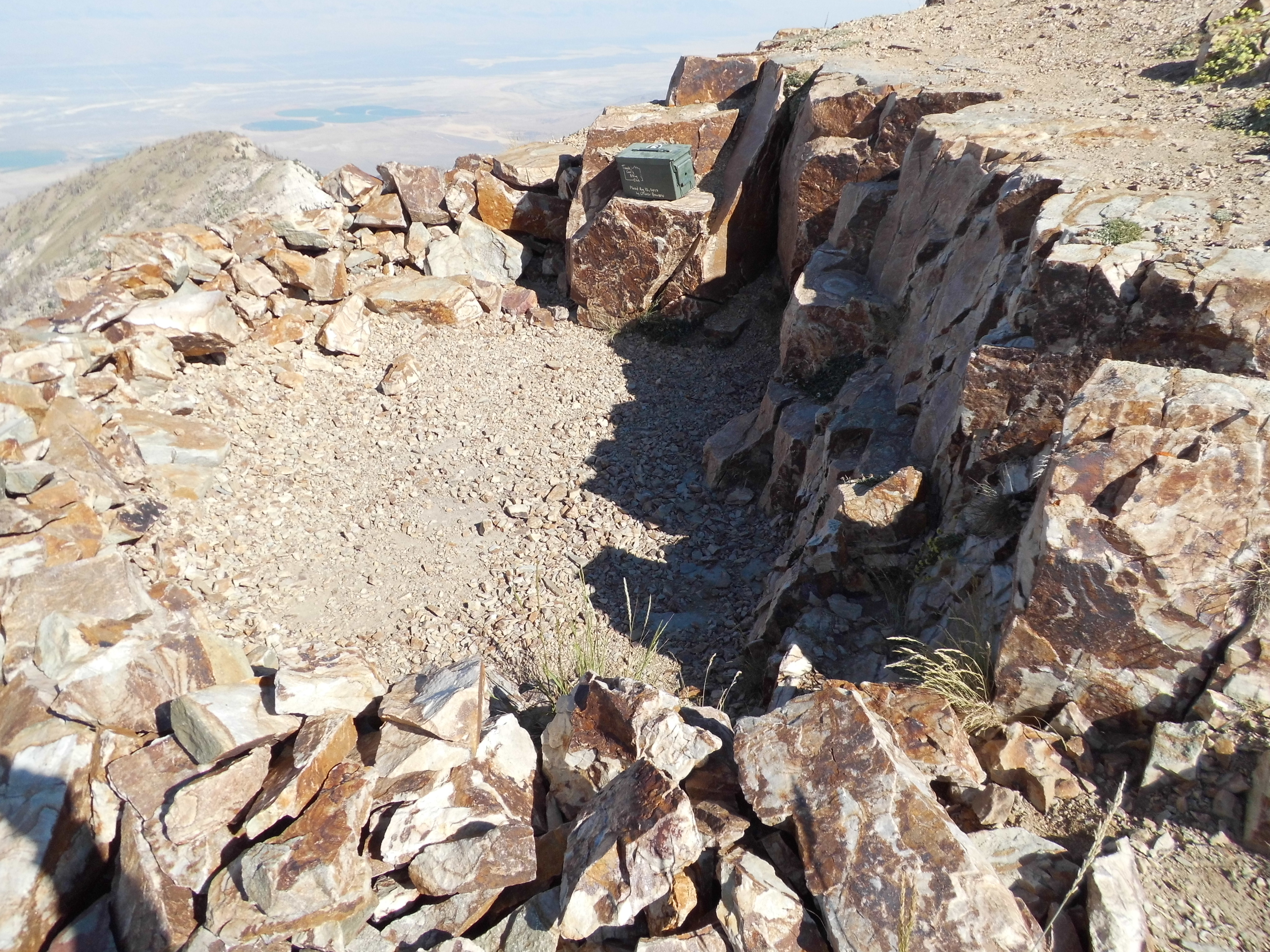
The register
By the time I was back at my truck, it was 1:15; by the time I’d driven back down the mountain and met with Dave in his newly-repaired truck in the town of Stockton, it was mid-afternoon. We gassed up, enjoyed ice cream, then drove up to the town of Ophir in the Oquirrh Mountains. Then began a hellaciously-rough drive up a dirt road to a saddle at 8,070 feet. As we settled in for the evening, a vehicle drove up, much to our surprise. Out stepped two Bay-area peakbaggers, Andrew Kirmge and Dean Gaudet. They were as surprised as we to meet in such an out-of-the-way place as this. They had just finished climbing the peak we wanted to do the next day. It was a good visit, and made us appreciate the tightly-knit community of which we were all a part.
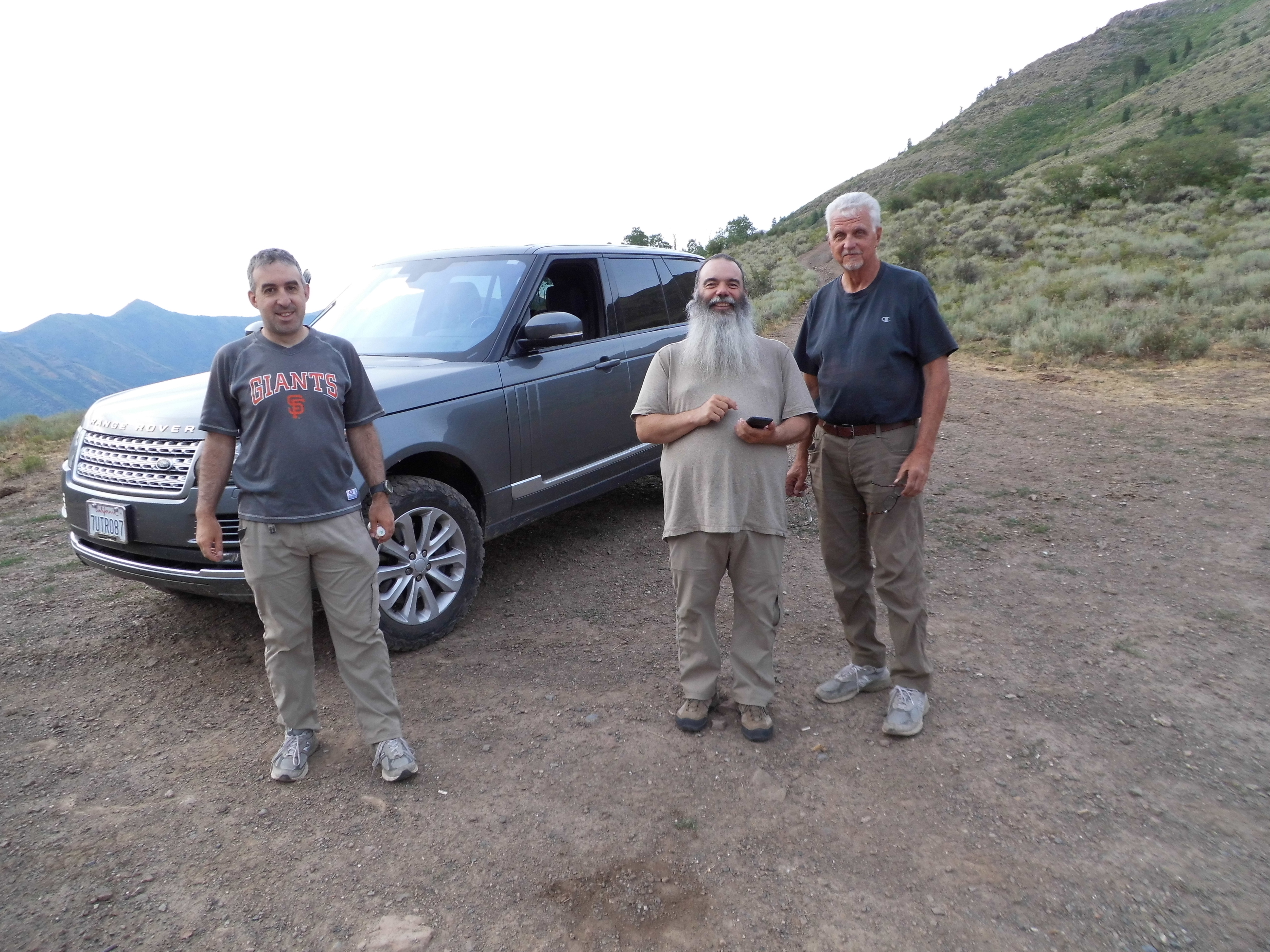
Andrew on the left; Dean in the middle; Dave on the right
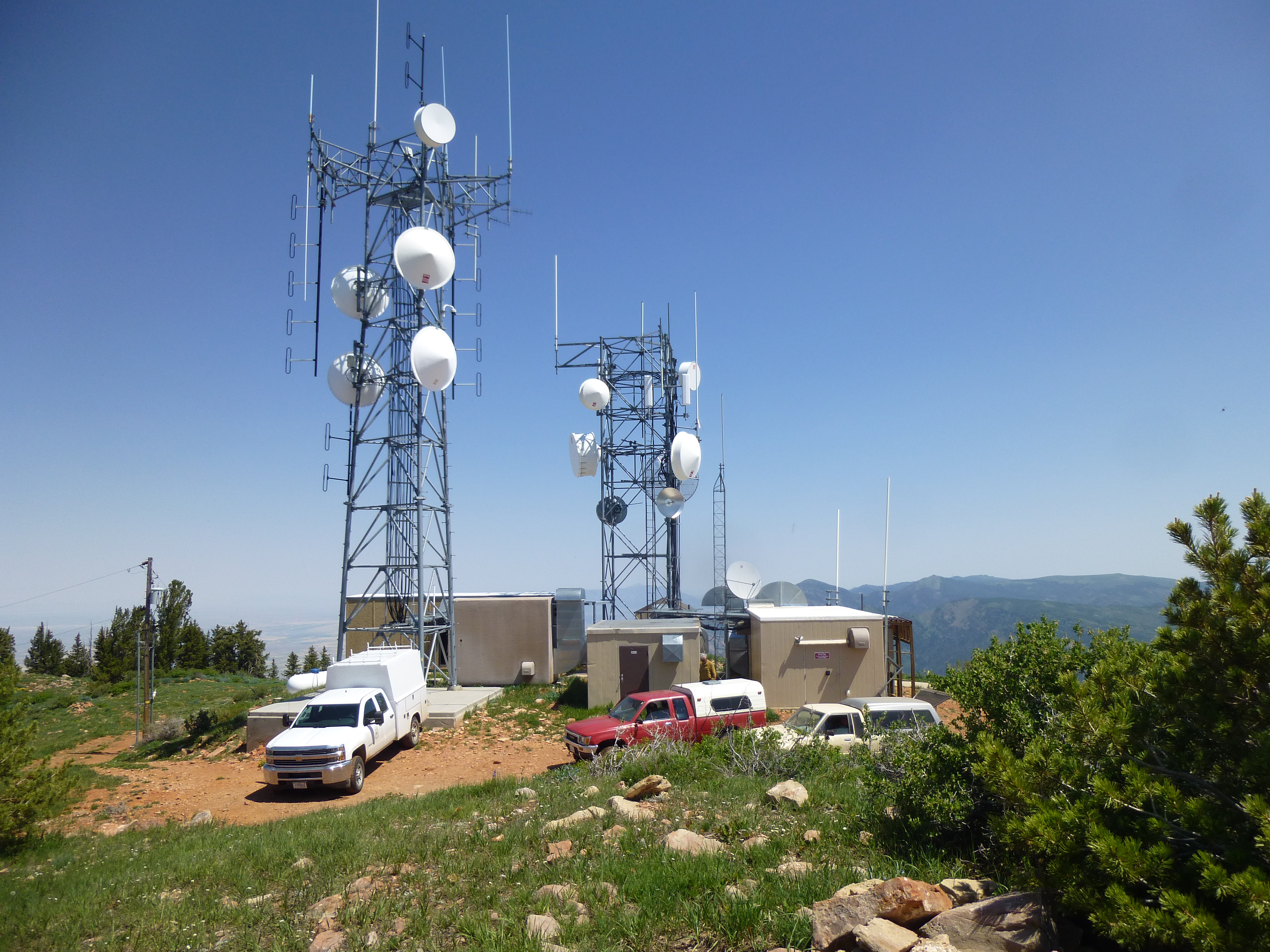
Early the next morning, Dave and I set out up a steep brushy slope on a sketchy trail. We soon lost it, but found it again higher up. It meandered up a steep, rocky ridge and climbed through a forest before reaching the long summit ridge. The day seemed humid and we suffered for it. On the summit of Flat Top Mountain stood a small, very military-looking building, purpose unknown.
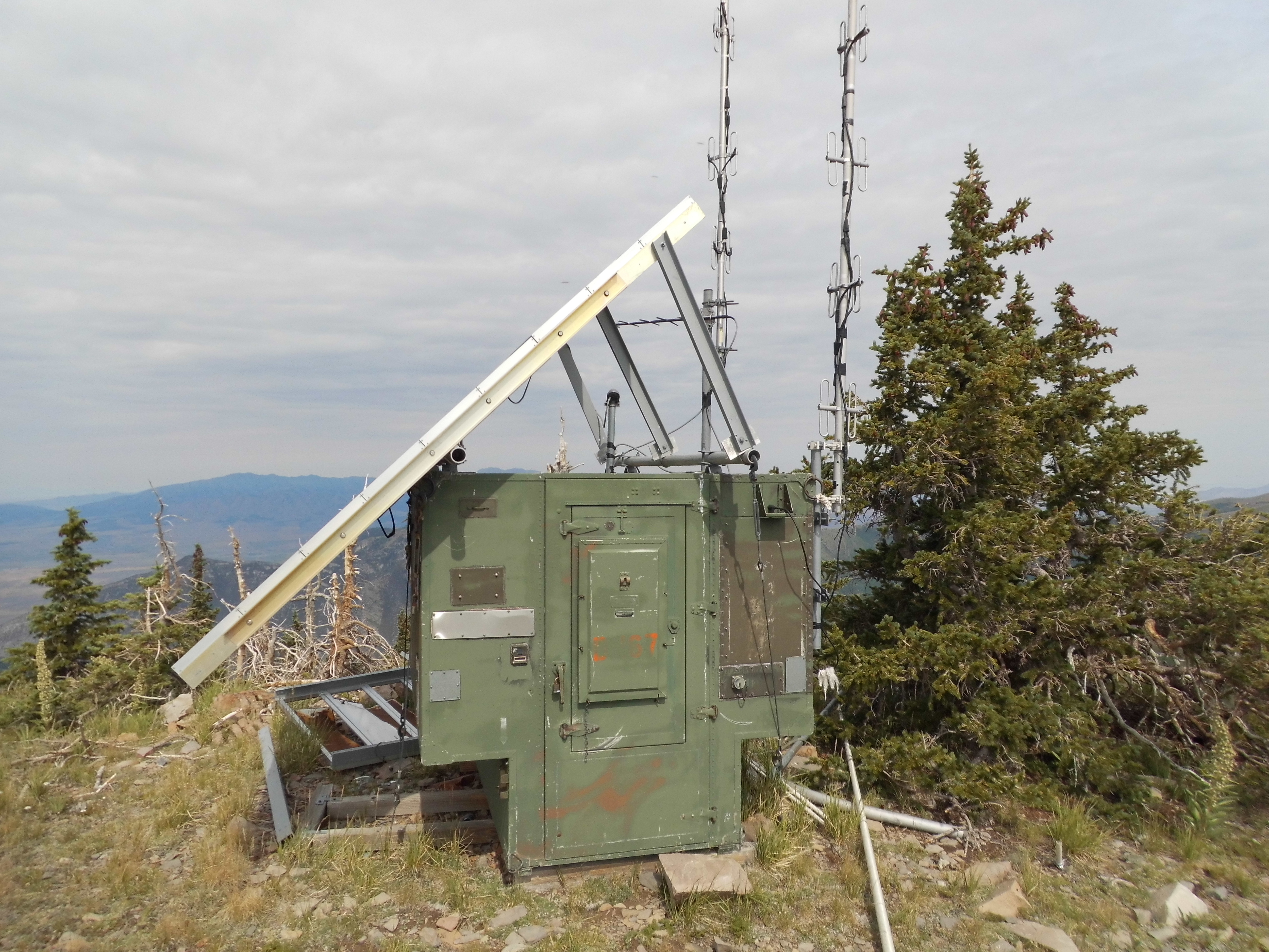
On top
We signed in to the usual register, had something to eat, then started the long descent. There was a lot of what we call double-gain (places where you have to go down while on the way up), so by the time we regained our trucks, over 8 hours had passed and we felt like hammered dog shit. This one had exacted 3,400 vertical feet.
We left right away and drove the rough road down to Ophir, then to Salt Lake City for dinner. On we drove, covering 100 miles before stopping for the night alongside a rough road south of Mantua. We were all done in. Early the next morning, we drove up into Willard Basin and parked at 8,700 feet. Dave had recently done this one, so he spent some time birding while I went to the top of Willard Peak. At 9,763 feet, this would be one of the lowest peaks of the trip. The climb was quick and easy, with a nice bit of scrambling at the top.
Looking up towards the summit.
The view from the summit was outrageous. Here, we are looking west, down to the town of Willard, Interstate 15 and Willard Bay, the northern end of Great Salt Lake. The bay is 5,500 vertical feet below.
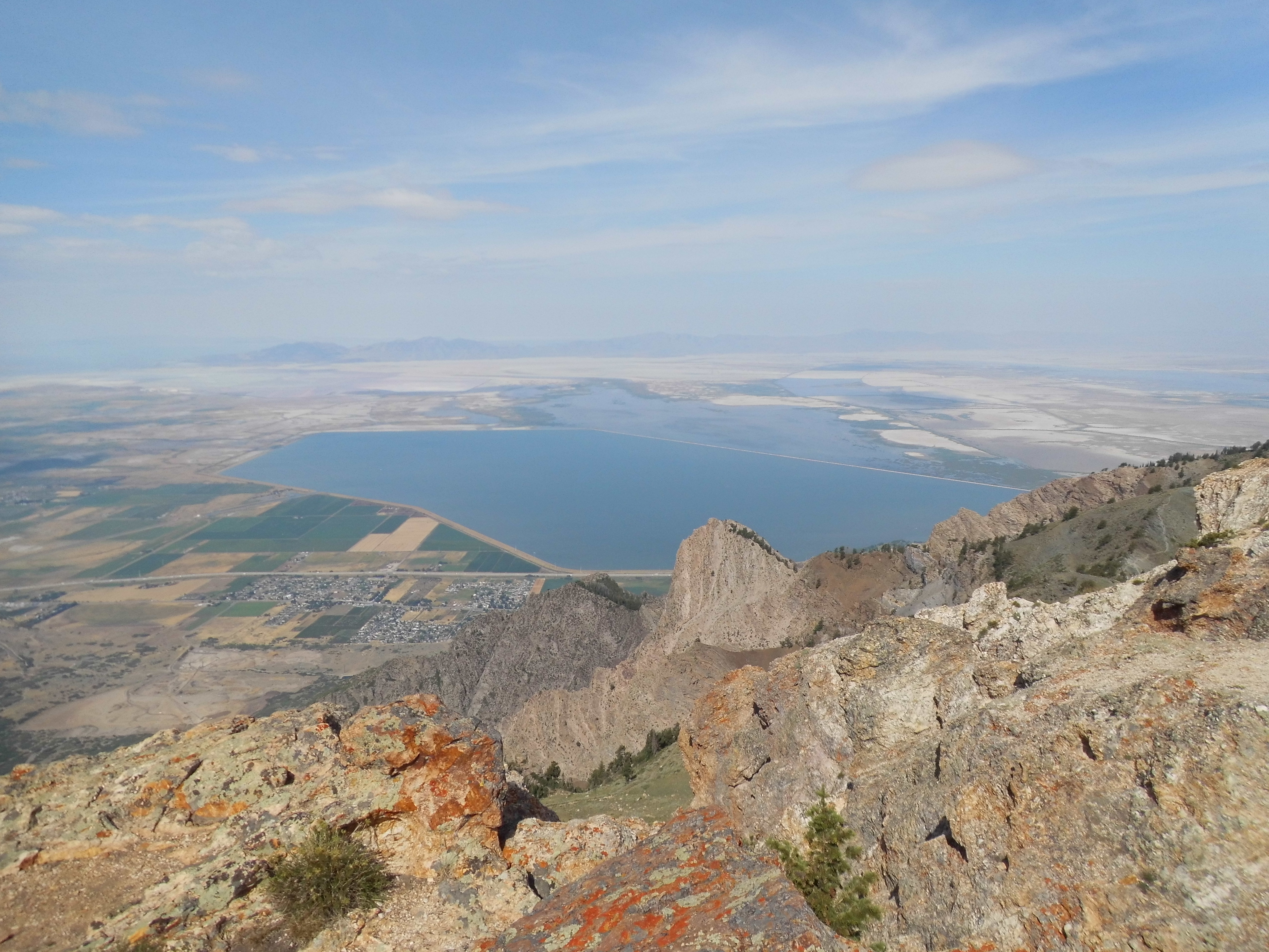
It’s a long way down
From our parking spot to the summit was maybe a mile, and yet in that distance I met probably 50 people. This was turning out to be one crowded place. When I arrived back at our parking place and found Dave, we were both disgusted. Dozens of dirt bikes and ATVs were racing up and down the dirt road, raising clouds of dust and at times almost colliding with other vehicles. We started down the mountain road, and several times idiots on ATVs roared past us where no sane person would ever try to pass. I got into a shouting match with some of them on 2 occasions. It was as if this small pocket of Utah had gone completely mad. What a relief to finally reach pavement! In order to calm down, we stopped a half hour later in Logan. This town, the home of Utah State University, had a really great vibe. Dave found us a terrific Mexican restaurant where the beer was cold and the food was outstanding – El Toro Viejo – if you give it a try, you won’t be disappointed.
On we went, arriving mid-afternoon in the Bear River Range, parking at a quiet spot in the forest at about 8,000 feet. This place was idyllic when compared to the madness of just a few hours earlier. My alarm rudely awakened me the next morning. Dave had recently climbed here, so alone I drove to a nearby trailhead. The weather was overcast, but clearing. I spent the next 3 hours on an excellent trail, climbing 2,000 feet and arriving at the top of Naomi Peak. Six others were with me on the summit – we chatted and enjoyed the view, looking down more than 5,000 feet to the land below. This spot was only 3 miles from the Idaho border to the north.
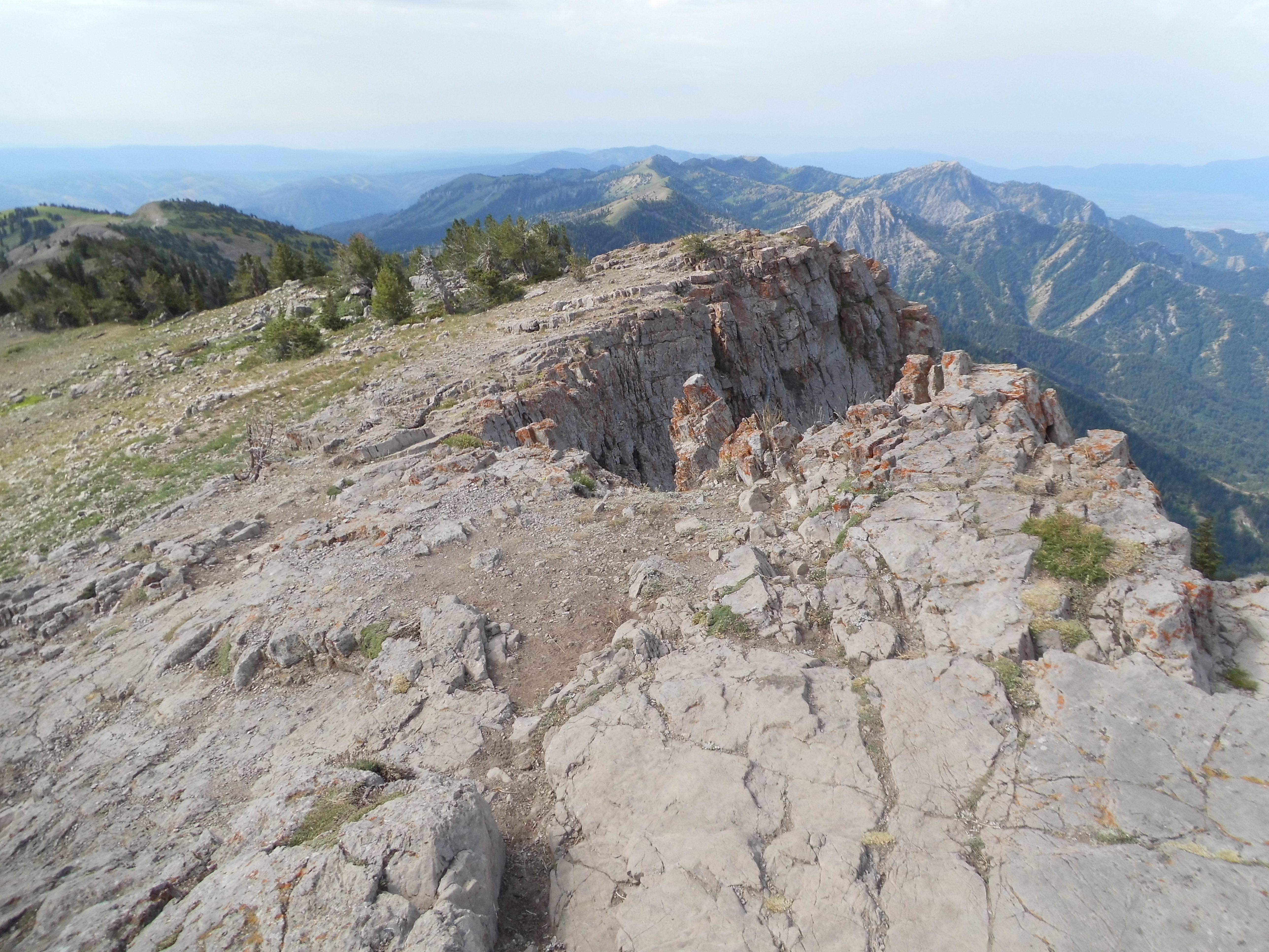
On the top, at 9,979 feet
On my way back down the trail, I met over 30 others who had started later than I and were on their way up to the summit. By the time I was back at the trailhead, a look back to the peak showed me that the ceiling was dropping quickly and it was raining hard up there – all those folks in shorts and T-shirts were going to be pretty miserable. When I’d started out, there were only 2 vehicles in the parking lot – upon my return, there were 50.
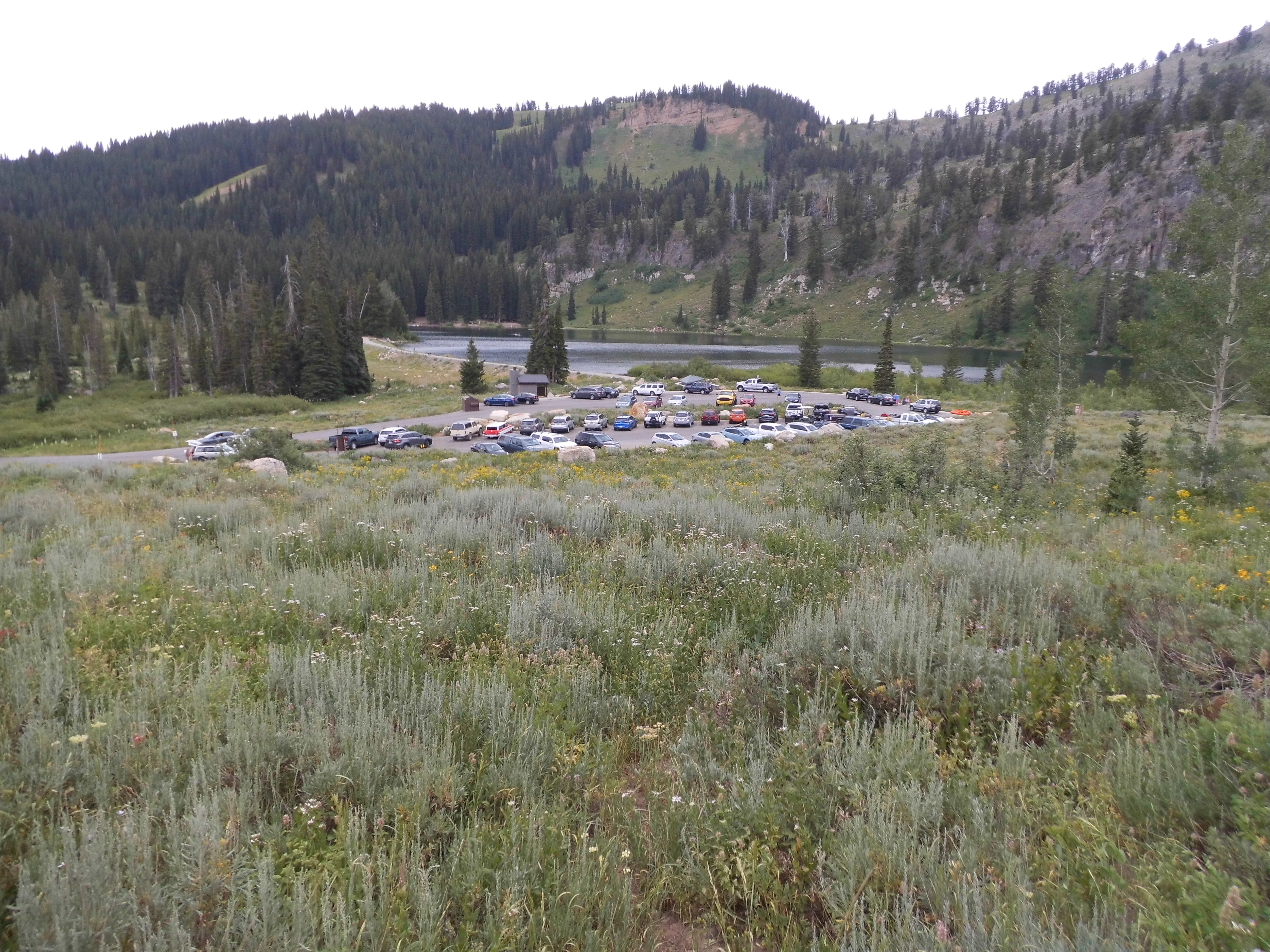
Tony Grove Lake
It was only noon when I got back to our campsite – we leisurely packed up and hit the road. Back down to the highway, then east down to the town of Garden City. This very touristy spot sits on the shore of Bear Lake. We drove up its west shore, and 2 miles later entered Idaho. Another half hour saw us rolling into Montpelier, where we stopped for lunch. Dave had a great peak picked out for our next one – all we had to do was drive into Wyoming!
Several miles later, we left the highway and started into the Wyoming Range. Here began one of the most confusing times in my mountaineering life. Dave had all of the information needed to navigate the roads, all of which were dirt and of mostly excellent quality. The day was overcast, and I had no sense of direction as we drove – I simply followed. It seemed to me that we went in circles, which of course wasn’t the case – I think we drove through a series of valleys. By the time we finally stopped, a full 3 hours had passed – you could have convinced me that we were just about anywhere by then. I believe we had driven about 30 miles to get to our stopping point, and I was mentally exhausted. I felt badly that I had doubted Dave’s guiding us to our trailhead.
Our trailhead
The weather had cleared, and held the promise of a good climb in the morning. We cooked a meal on our steeply-sloped parking spot, amazed by just how remote a spot this was – it felt like we were on the backside of the moon.
Another early start. The trail was excellent, a series of long, gentle switchbacks.
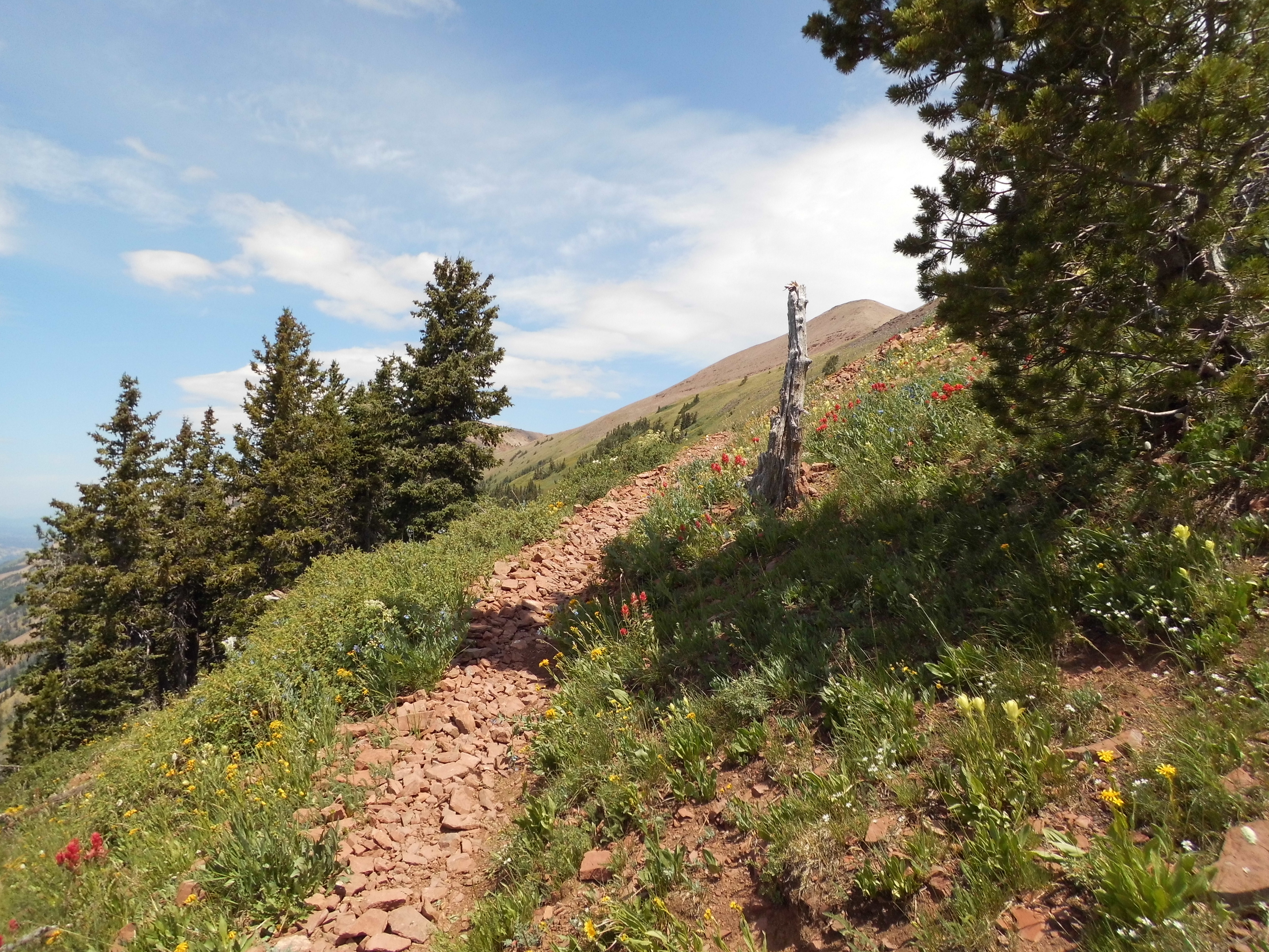
The trail
It was a 2,800-foot climb, and by 11:00 AM we stood on the summit of Wyoming Peak, where we found the ruins of an old forestry lookout.
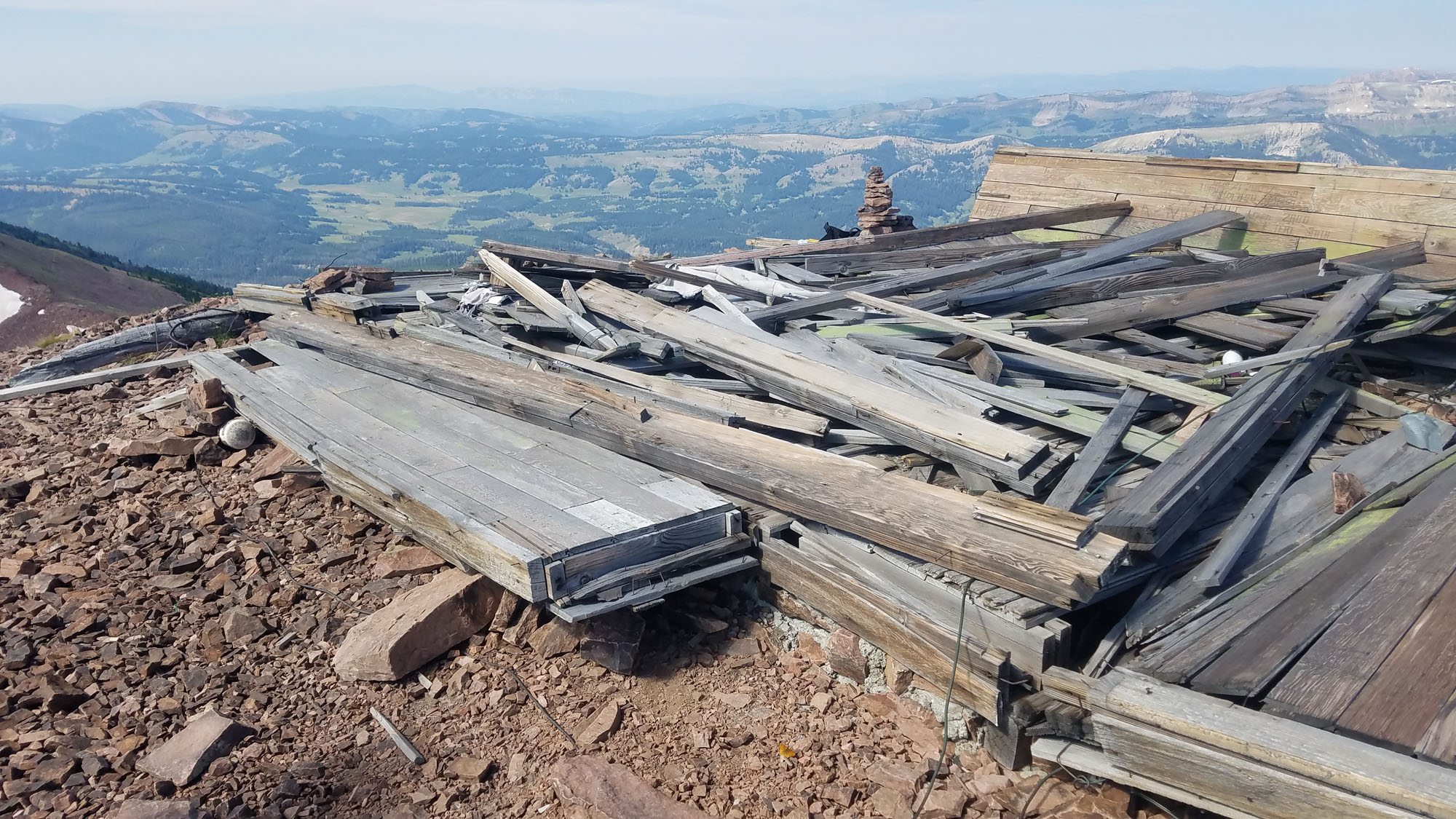
This is all that’s left
The view from the top was as good as it gets.
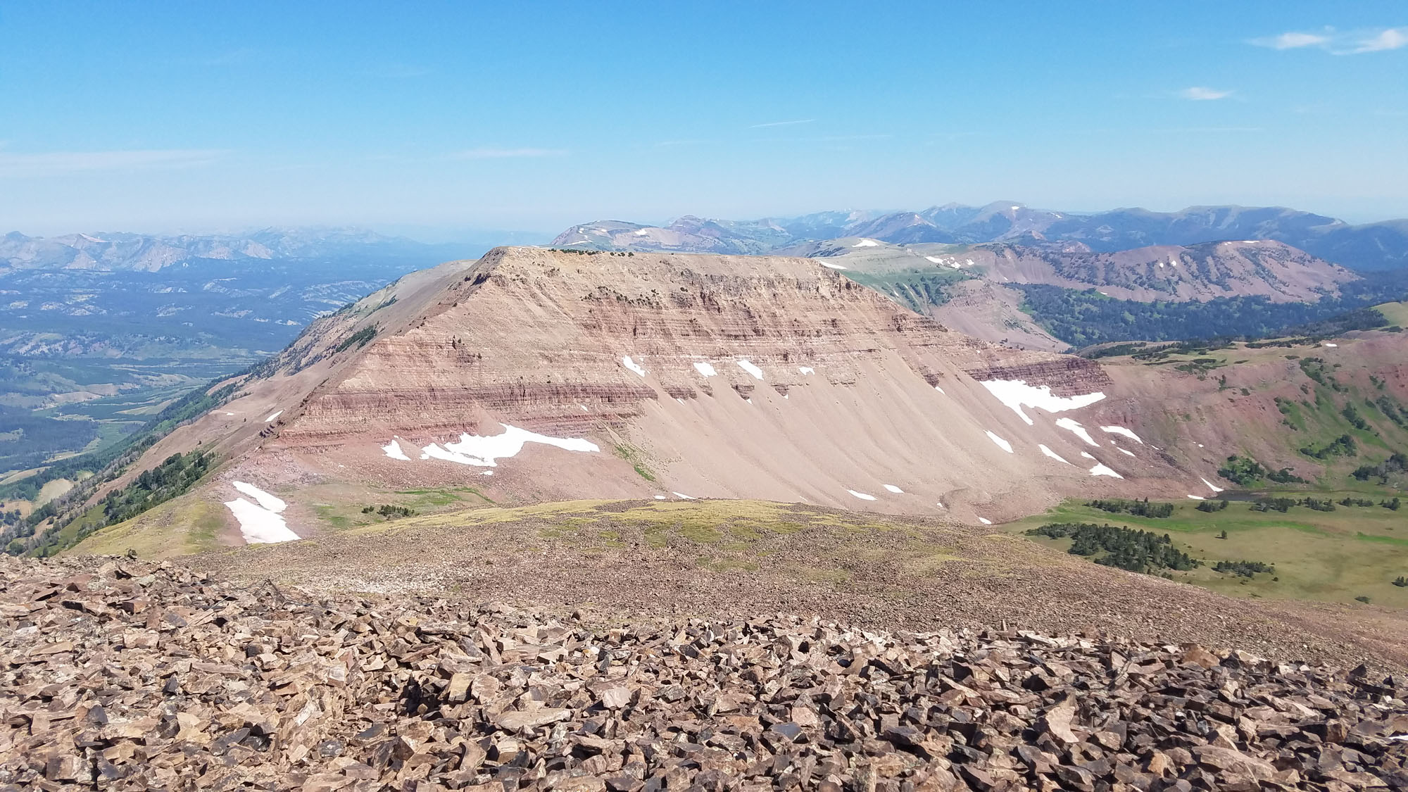
Mount Coffin to the north, which is 11,242 feet.
The summit register had an astounding number of entries, hundreds of them, dating back years. How could that be? – this peak was so hard to get to. We spent a while, phoning home and eating lunch. This was fast becoming my favorite peak of the entire trip. There were more patches of snow up here, left over from last winter, than on any other peak we’d visited. This one stretched for a full quarter-mile.
The snowpatch
We started back down, but only a few hundred feet below the summit we met a couple, our age, who were on the way up and doing some kind of research. They were very personable and we had a nice visit, but we were shocked to see anyone else way out here. It got even crazier, when much farther down the mountain we met 3 more folks who were heading for the summit. All of us agreed, though, that you had to be very determined to drive all the way in to climb this one. By the time Dave and I got back down to where the 4 vehicles were parked, it was already 2:30 – we’d been out for more than 8 hours. The day was fine and we enjoyed the long trip out – even though we must have driven the better part of 30 miles on those dirt roads, we were still at 8,000 feet where we camped for the night.
The next morning, we drove the rest of the way out and back to Montpelier. After a quick breakfast, we knew our trip together was over – Dave had even bigger climbs planned farther east, and I needed to start for home. It took me a few hours to make it back to Interstate 15, which would serve as my conduit through Utah. As soon as I reached the freeway, near Brigham City, I drove south through a continuous belt of development – it seemed to go on forever, through such places as Willard, Ogden, Farmington, Bountiful, Salt Lake City, Orem, Provo, Payson, Nephi. There was a solid 150 miles of humanity, subdivisions stretching up hillsides – it was hard to believe it went on so far. About 2 million people live along that corridor. Finally I left the sprawl behind and entered open country.
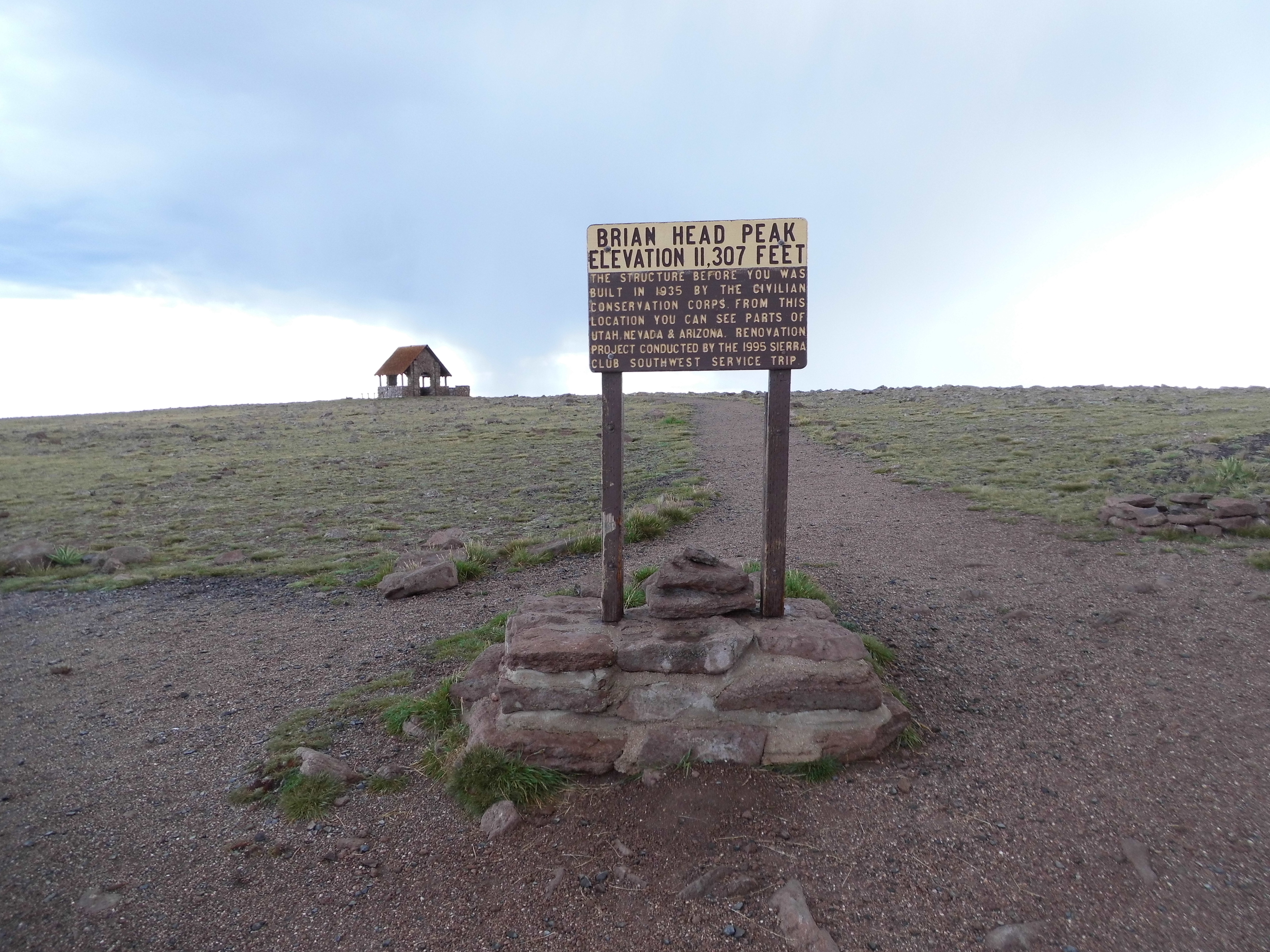
The weather was changing – thunderstorms dotted the landscape. I phoned my peakbagger friend Mark Adrian and asked his advice – could he suggest a nice, high peak where I could spend a cool night? Following his instructions, I left the freeway at Parowan and drove high up to the ski resort of Brian Head. From there, it was a short drive to the very top of Brian Head, at a whopping 11,307 feet. Just my luck, as I walked on to the summit, a flash of lightning and a huge boom of thunder scared the bejeezus out of me.
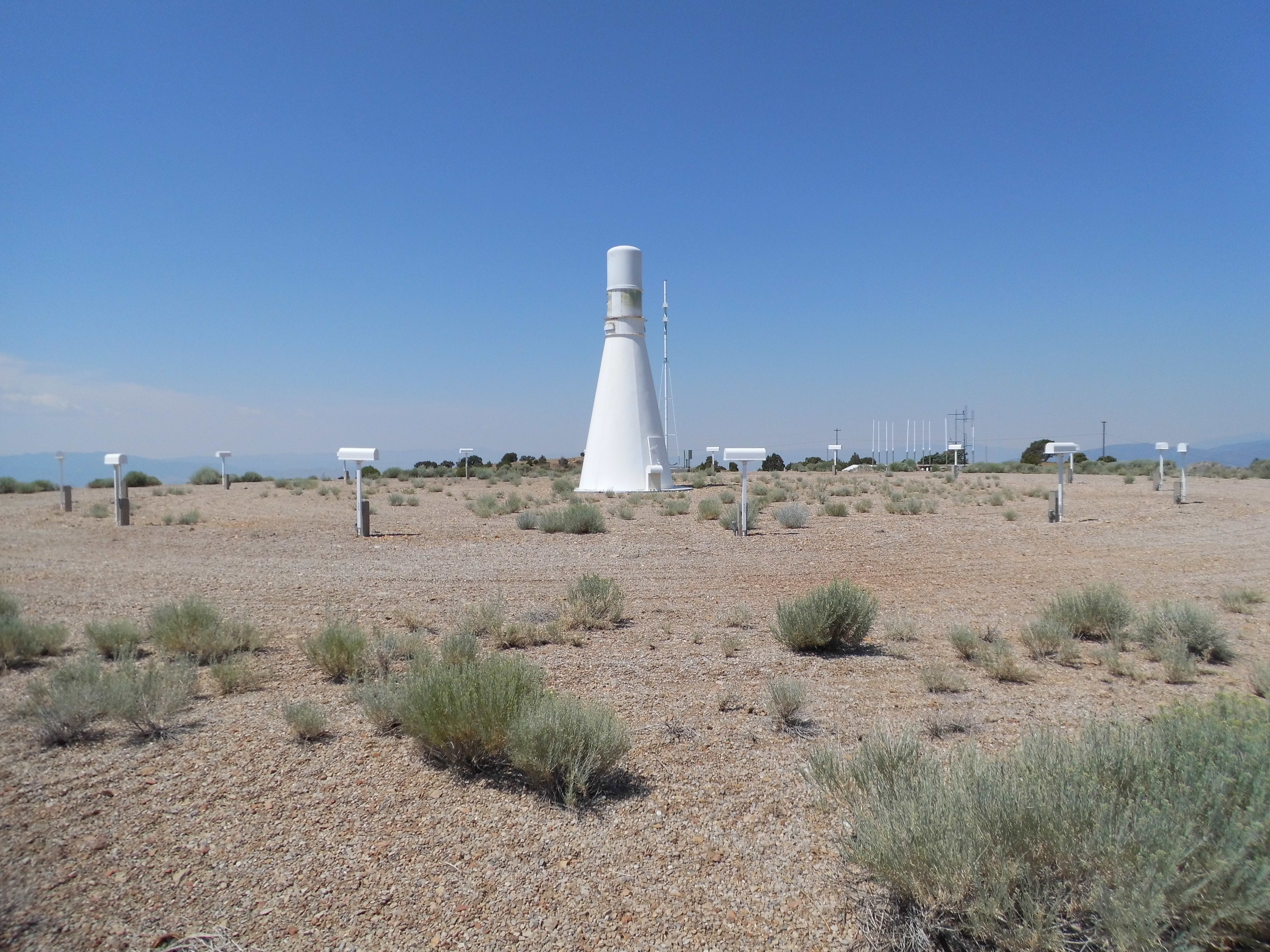
This was no place to loiter, so I didn’t, driving back down the couple of miles to paved highway 143, then 148, heading south through Cedar Breaks National Monument. Still looking for a place to camp for the night, I turned up a dirt road to the top of Blowhard Mountain, an FAA site.
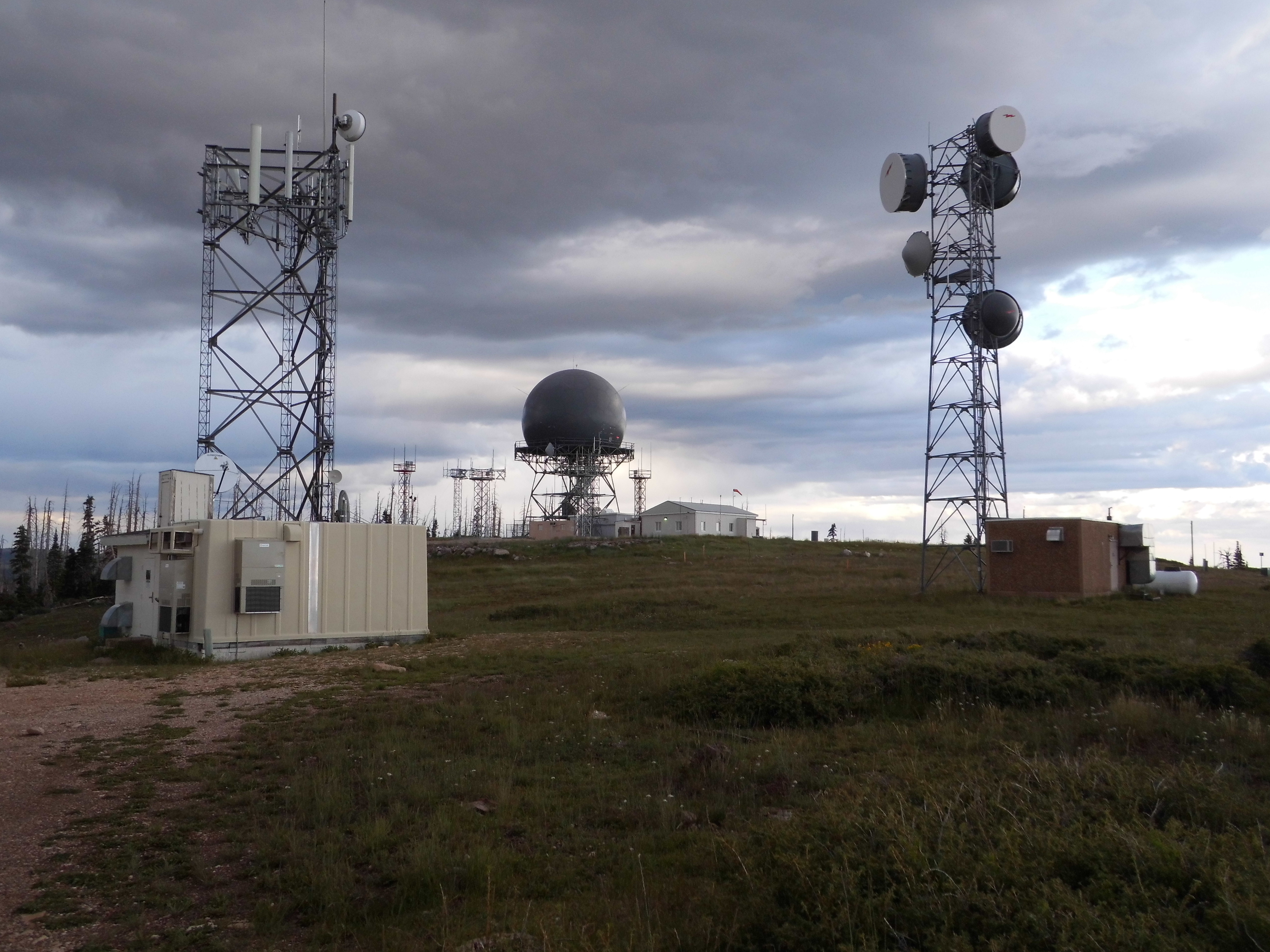
Blowhard Mountain
The rain stayed away for the entire night, and after a good sleep in the cool air I drove down the mountain to Cedar City. This was another of those towns with a really good vibe – as I gassed up, a young man told me it was the home of the University of Southern Utah – made sense. Back on the freeway, I continued south and soon passed through St. George, which was expecting a high of 112 degrees that day. On I went, descending the spectacular Virgin River Gorge – this is where, for a brief 29 miles, I-15 cuts through the extreme northwest corner of Arizona.
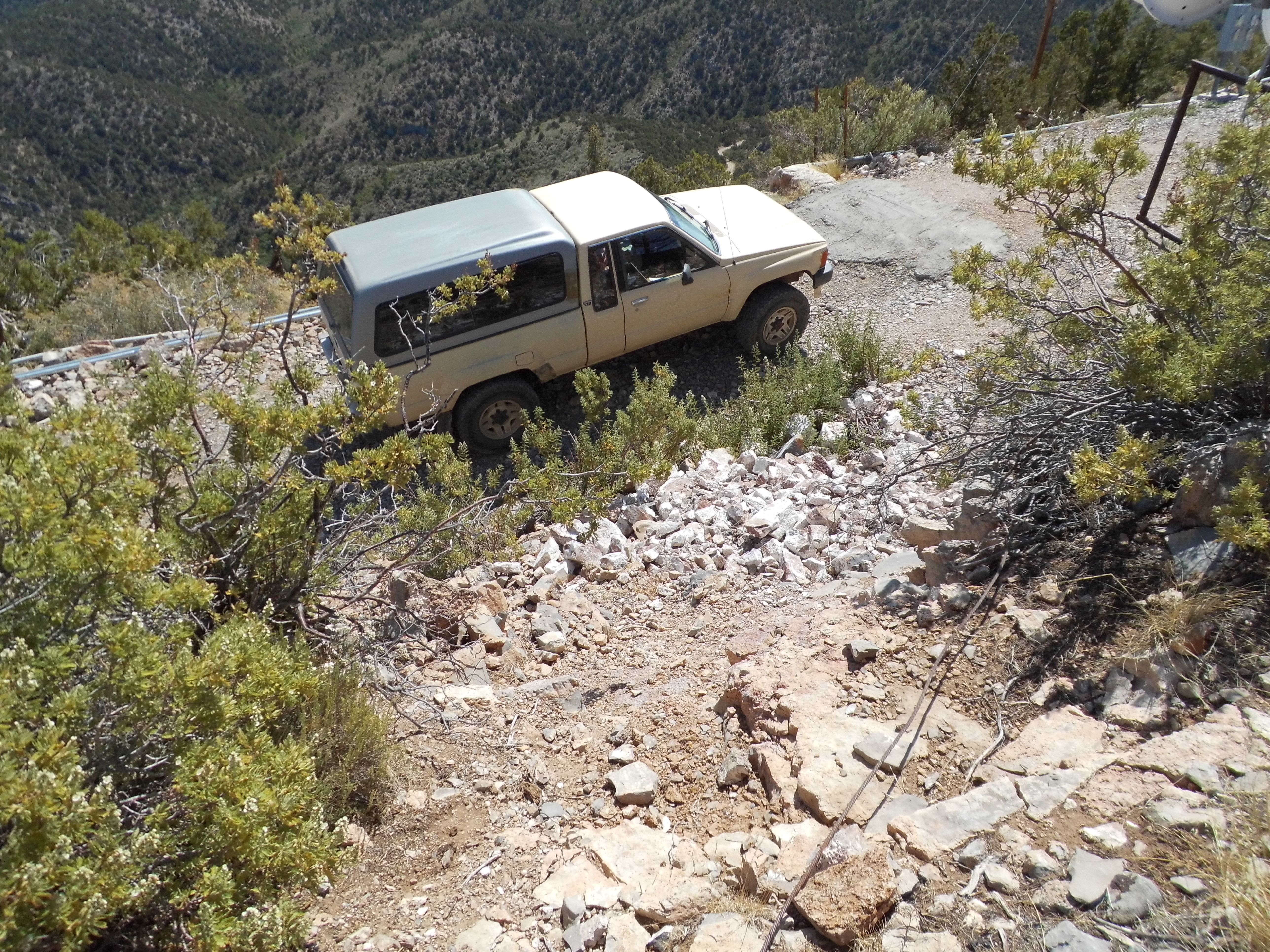
I made a detour, driving the rough road to the summit of West Mountain Peak (the highest point of the Beaver Dam Mountains). The last quarter-mile was a challenging 4WD romp, far worse than it was when I first visited it in 1989.
Back down at the freeway, I was looking for a way to avoid having to drive through Las Vegas. Dave had suggested using Nevada state highways 169 and 167 to do just that. Good call, Dave – the scenery was stunning (I was sorry I had never done it before). Two hours later, I was passing Hoover Dam and entering good old Arizona. One more night camping up high, this time in the Hualapai Mountains, then home to Tucson. This trip had lasted 15 days and covered 2,000 miles, yielded 21 peaks and impressed upon me once again the beauty of the state of Utah.