
Back in the 1970s, in a previous lifetime, I was getting out pretty often and climbing some nice peaks in southwestern British Columbia. There were plenty of them within 50 air miles of my home, enough to keep me busy for a long time. A fellow named Mike, who lived in the same small town as I did, accompanied me on a bunch of those climbs. Mike was good company and we climbed well together, but he was never on time for anything. I usually found myself waiting for him to show up at my place so we could leave. Came June of 1976 and we decided to climb a peak known as The Old Settler, not a peak known to many. Our big day came, and after waiting over 2 hours for Mike to show up, I was prepared to leave and do the whole damn thing on my own. At the last minute, my patience nearing its limit, he arrived – we took off, but the waiting had put me in a grumpy mood.
Our peak sat in the midst of a heavily-wooded mountainous area, but many peaks topped out above tree-line. Ours sat between Harrison Lake on the west and the Fraser Canyon to the east and was the highest peak in the southern part of that area. In 1976, I was using Dick Culbert’s recently-published climber’s guidebook. It mentioned two approaches to the peak: one came in from the west, from Harrison Lake; the other approached from the east. I had decided to try the eastern approach, probably because it offered more cross-country travel in alpine areas.
We left Mission and headed east on Highway 7, past Dewdney, Harrison Mills and Agassiz, arriving at Hope after 50 miles. Then, 11 more miles on the Trans-Canada Highway (Highway 1) up the west side of the Fraser River, to take us to the start of the road into the wilderness. Emory Creek, that’s what it was called. A logging road headed west up the drainage. How many miles, I’m not sure – not a lot, maybe a dozen, on a decent dirt road. My Volvo station wagon did the job, and we parked in a good spot off to the side of the road. We planned to be out overnight, but since the weather promised to be fair, we didn’t bring a tent, just bivi gear.
It was around 5:00 PM by the time we set out on foot, hours later than I had hoped. We were south of a peak known as Mount Baird, elevation 6,010 feet. We climbed up in a northerly direction through pretty decent bush, nothing too nasty, until we reached a ridge and headed more to the west. In June in BC, the days are long and we had plenty of daylight, so there was no problem going until around 9:00 PM. We stopped on the ridge and camped on the snow at around 5,000 feet, where we spent a cold night.
Here’s a bit of background about the geology of the peak itself (reprinted from Bruce Fairley’s guidebook: A Guide to Climbing and Hiking in Southwestern British Columbia): The peak is unusual in that a conspicuous geological contact zone splits the south summit from the rest of the massif. The south end of the massif is brownish red gabbro, while the central and northern summits are of serpentine, schist and quartz diorite. Unusually for the Coast Mountains, the red rock is excellent and the dark rock is questionable!
When we went in to try the peak in 1976, The Old Settler was still considered to be a fairly remote peak and the climb was considered a bit of an adventure. My understanding is that it went through somewhat of a surge in popularity in the early 1980s. However, a write-up of a climb done in 2021 showed that once again, it is not often climbed, the main reason being access. Climbers used to like to approach via a logging road to the west, but the gate at its start, barely above sea level, was often locked which forced a long approach on foot. There is also some nasty bushwhacking on that approach. That’s not to say that the approach that Mike and I used was trivial, but at least our route involved a lot of alpine travel above tree-line, which was aesthetically pleasing.
The Old Settler (gotta love that name) is actually a massif with a series of peaks running in a north-south line. There are 3 peaks – south, middle and north. It is said that a traverse of the 3, starting from the south, is highly recommended. Once again, I quote from Fairley’s book: It is best to begin at the south end of the massif and traverse to the north. You will need a rope as there are 1 or 2 rappels and a couple of rock steps on which some parties may wish to rope up. The rock on the south peak is excellent – rough with all kinds of handholds and cracks – and is mainly Class 3 with one short Class 4 step. There is a also a short Class 4 section on the central peak. It is necessary to rappel from this summit. Occasionally you may encounter a bergshrund problem. The final climb to the highest summit is a scramble. The descent, unfortunately, is not as enjoyable. You should traverse north from the main summit into a loose gully (either by downclimbing or on rappel) which is followed to scree or snow.
Culbert’s book from 1974 didn’t offer as much information as Fairley’s did in 1986, so Mike and I didn’t have the excellent information as seen in the previous paragraph. I won’t say we were going in blind, but we didn’t carry a rope, our only gear being ice axes and crampons. Okay, a lot of chatter up to this point – allow me to share with you pictures of our climb now.
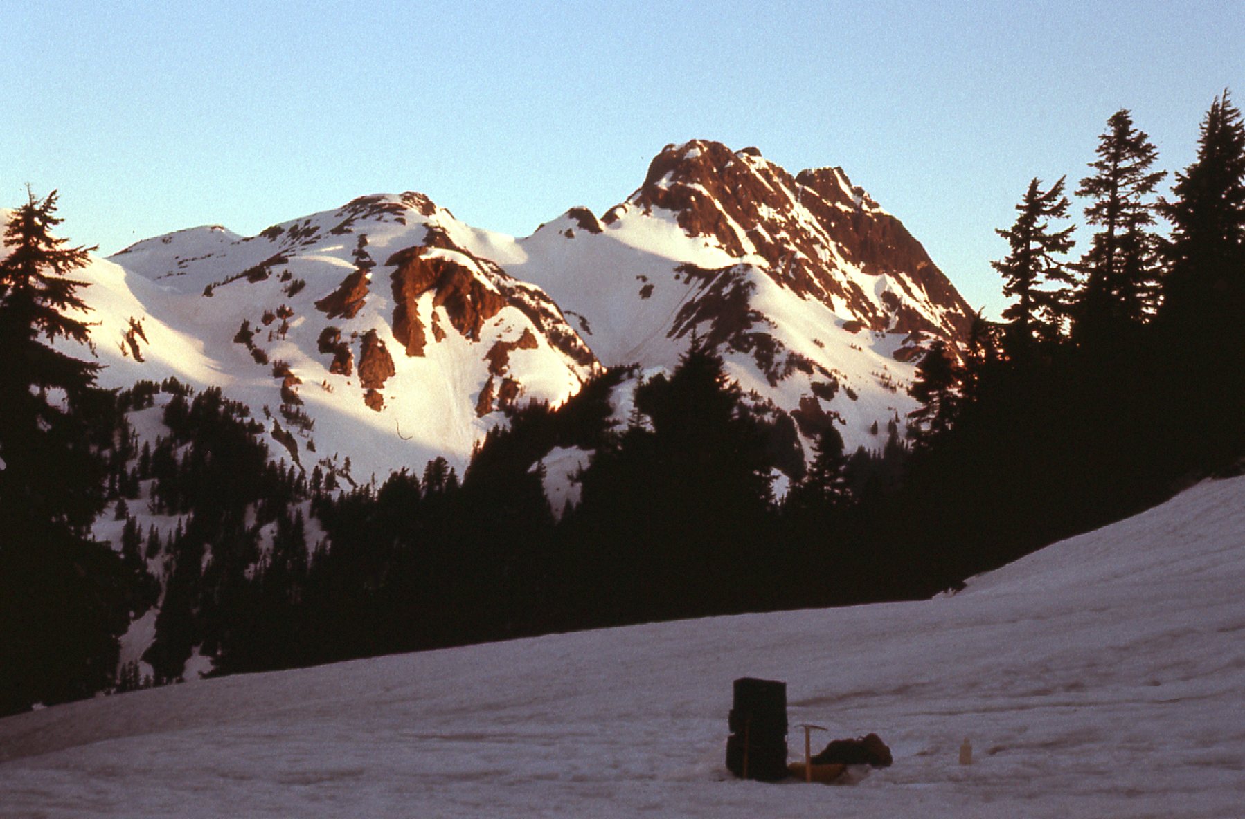
We got an early start the next morning, to shake off some of the cold of the night and also to use every bit of daylight possible in case we needed the extra time. Here’s a view of our sunrise on June 18th, 1976 taken from our snowy campsite. The highest bumps clustered together on the horizon in the right half of the photo are the the 3 summits of The Old Settler. What we had to do first was to climb the lower peak just to the left of center, which contours at around 6,265 feet elevation. Aside from a few trees, it was nice open country between us and our objective.
Looking northwest – a good view of the peak.
It felt good to be moving through alpine country – the snow was nicely consolidated and travel was pretty easy. Here is a view of our peak as we got closer. We still had to go over the bump on the left, but it looked easy.
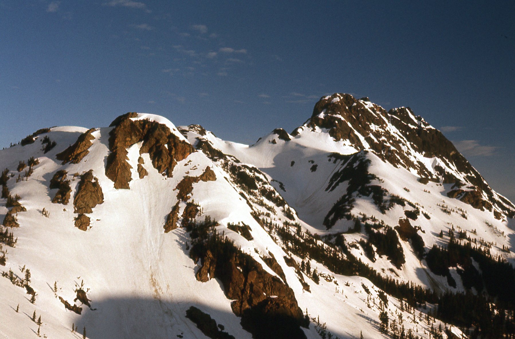
A closer view.
From about the same spot as the above photo was taken, we could look off to the right side of our peak and had this view.
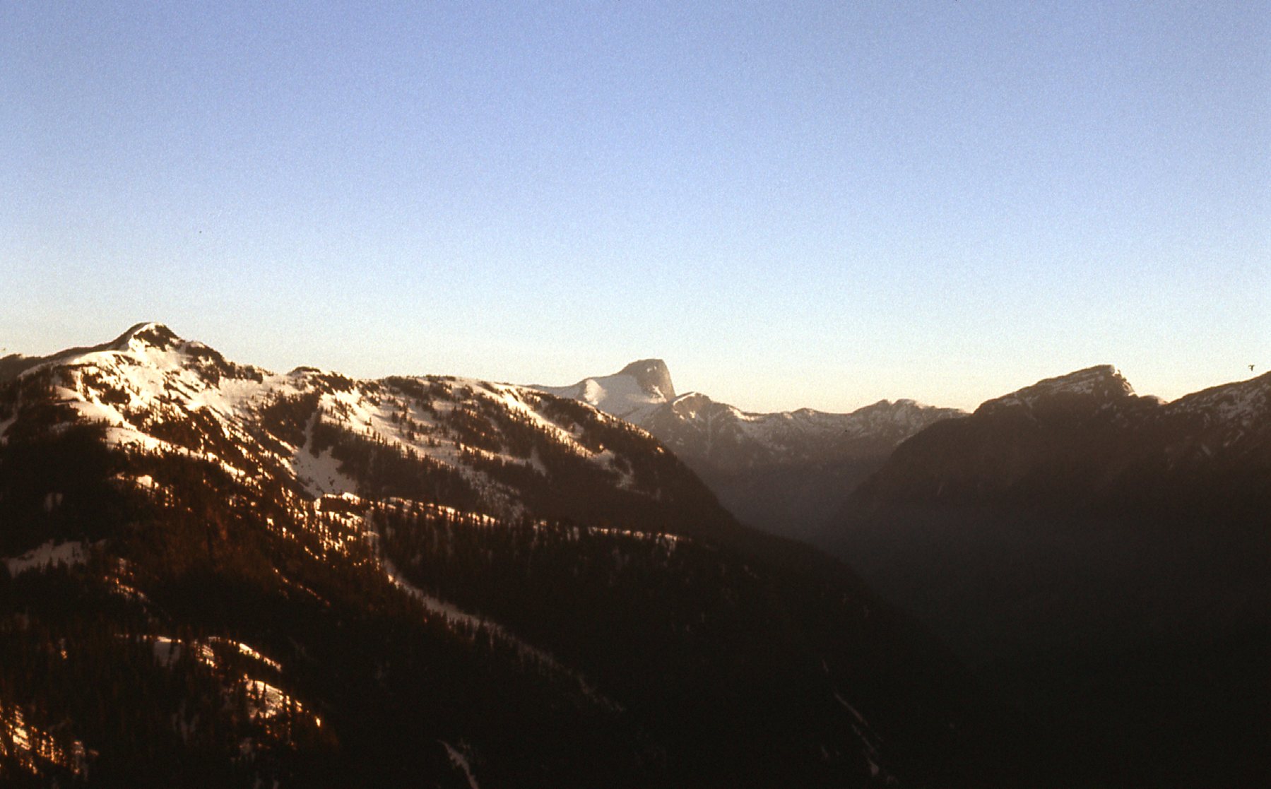
See the dark peak on the horizon, dead-center? That’s Mount Urquhart.
Once we topped out on the 6,265-foot bump mentioned earlier, we had this view straight-on to the south peak.
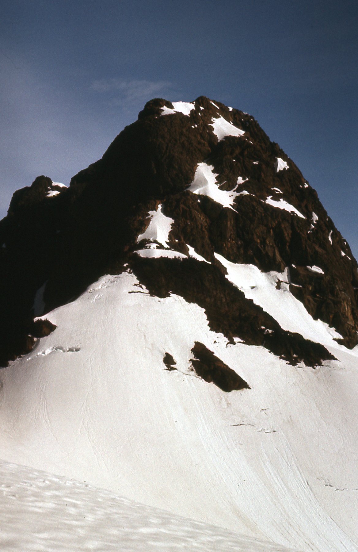
Looking straight up at the south side of the south peak.
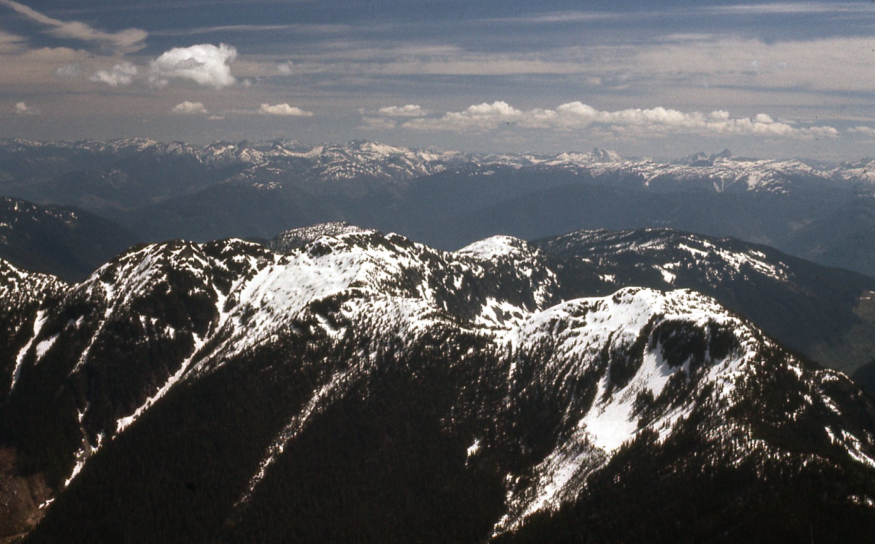
We were psyched – the snow was good, and the rock ahead looked like an interesting challenge. Up we went, and found things to be pretty much like Fairley’s description as seen in italics earlier in this piece. The rock was of excellent quality – solid, with lots of good holds. Plenty steep in places, an honest Class 3 climb with a bit of Class 4. No problem for a couple of hardmen without a rope! When we reached the summit, which was about 6,860 feet, we saw that the terrain ahead looked pretty rough and decided not to continue. That’s was fine, we felt we had had an aesthetically pleasing climb. It had taken us 5 hours to reach our summit from last night’s campsite. One of the best things about climbing a mountain is that you get amazing views that you’ll never get from the lowlands. I always enjoy sharing these with you, so here we go. This first photo has us looking to the southwest.
In the distance, the large white peak with its top in the clouds is Mount Baker. It is just right of center, and is 42 miles away. To its left are Mt. Shuksan and the peaks of the Cheam Range.
In this view, we are looking more to the south. `
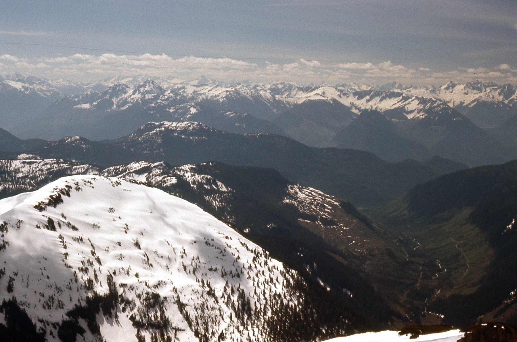
That’s Garnet Creek in the lowlands on the right side. You can see recent logging activity in this 1976 photo.
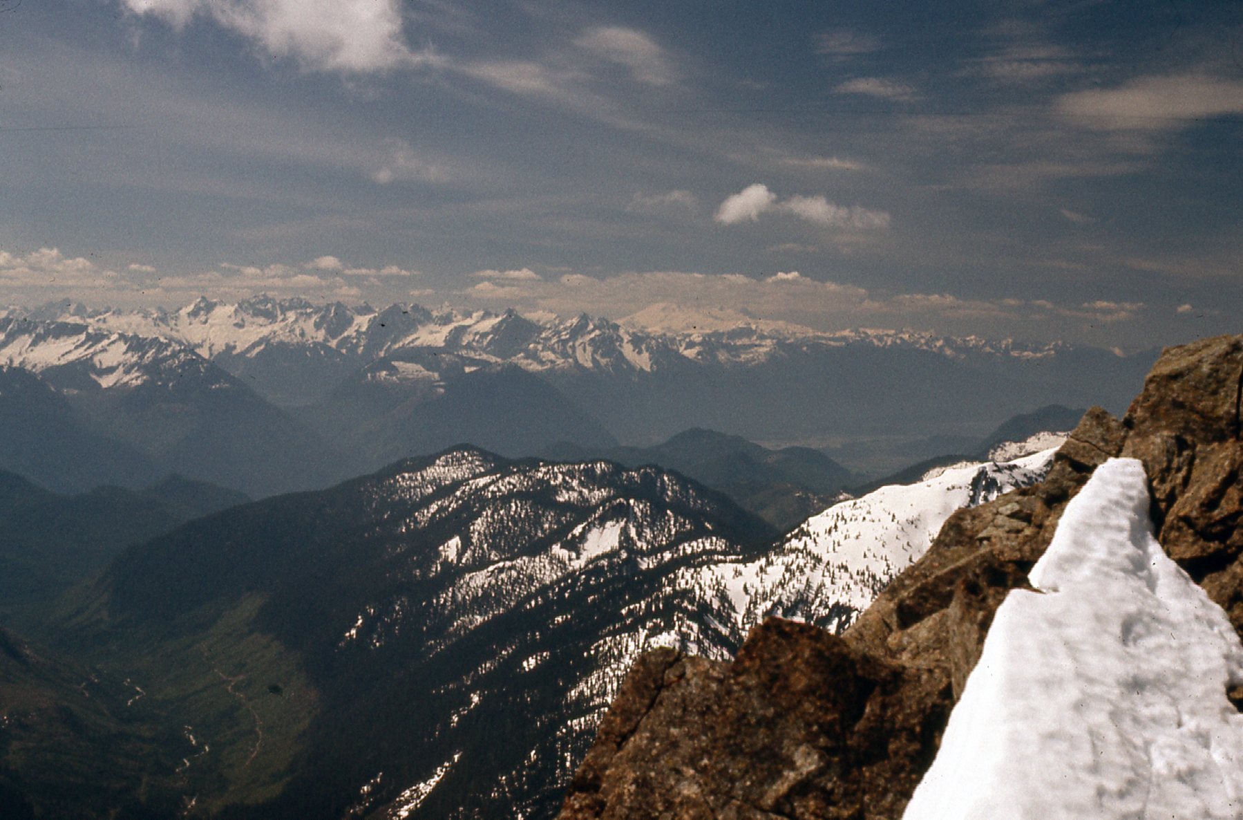
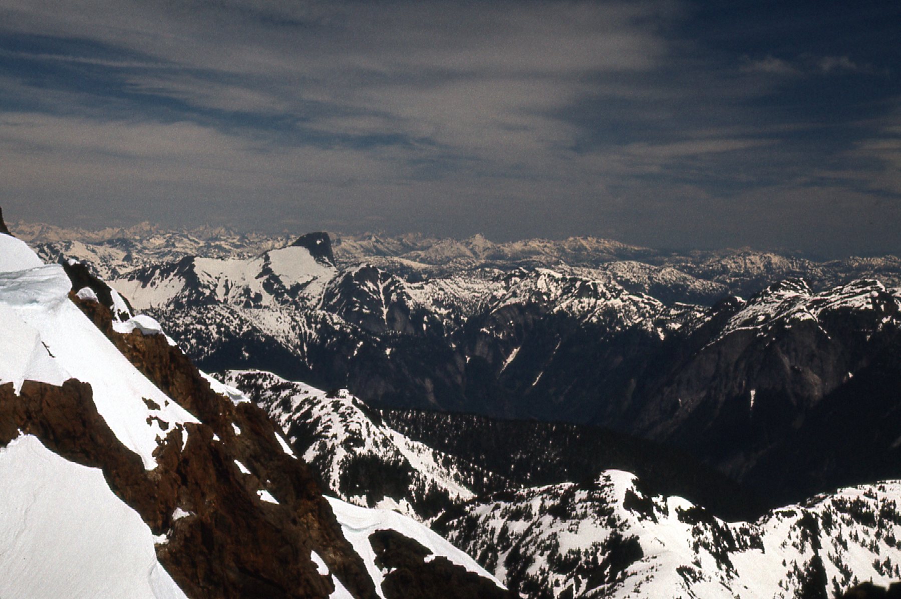
In this next one, we are looking southeast. Much of our approach came across the snowy country out there in the middle and the right side.
Looking southeast
This next one shows Mount Baird.
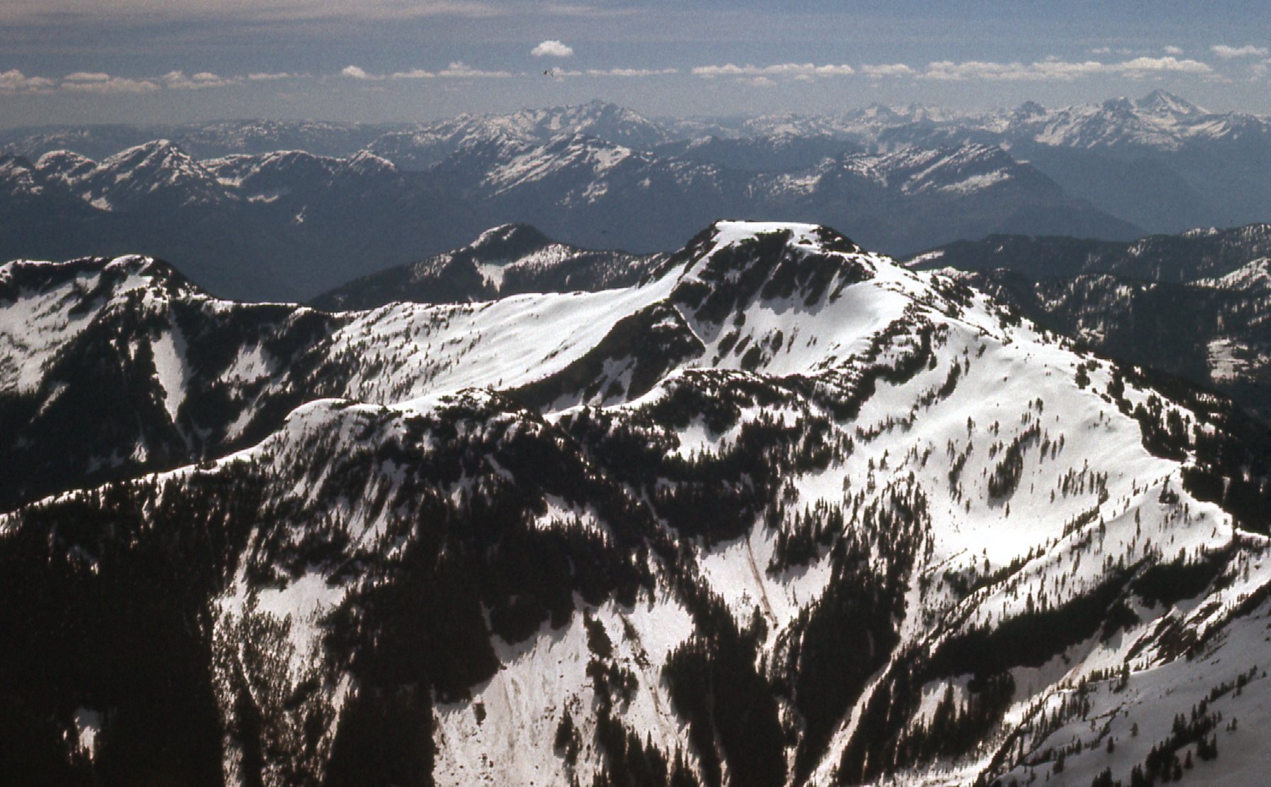
Mount Baird, to the southeast, is only 2.8 air miles away. It’s elevation is 6.010′. In the far distance can be seen peaks east of the Fraser Canyon, peaks like Outram and Tulameen.
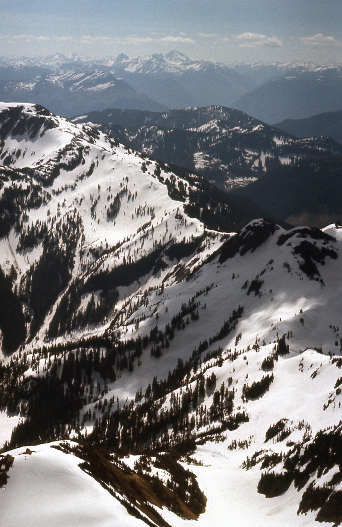
Here’s one looking due east.
A long view to the east. Out there in the distance are a long line of peaks, from left to right as follows: Anderson River Mtn.; Chamois; Ibex; Steinbok; Gamuza; Guanaco; Vicuña; Alpaca; Yak and Nak; Coquihalla Mtn.; Needle Peak.
This next one has us looking almost due north. See the black peak on the horizon, the one with the white dot on it, about a third of the way in from the photo’s left edge? That is Mt. Urquhart. At 6,890 feet, it sits about a hundred feet lower than The Old Settler. It was rarely visited at this time, and I had the good fortune to have climbed it only 4 days before Mike and I visited The Old Settler.
The view north. The distant horizon is lined with peaks way up in Stein River country and beyond.
Here’s my friend and climbing partner Mike – I know I griped about his tardiness back in the city, but he was a good climber and together we put up a number of challenging summits.
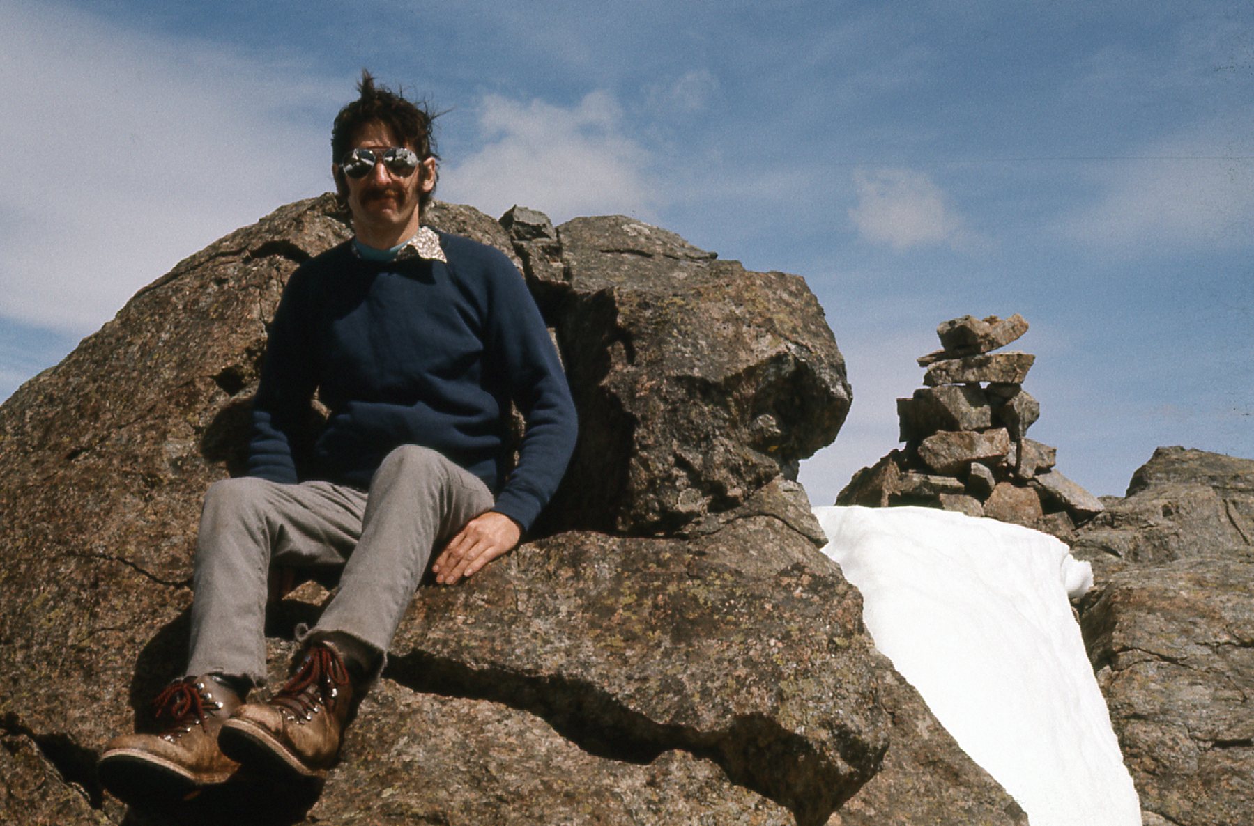
Mike on the south peak of the Old Settler.
Another look north, past the bulk of the middle and north peaks of The Old Settler.
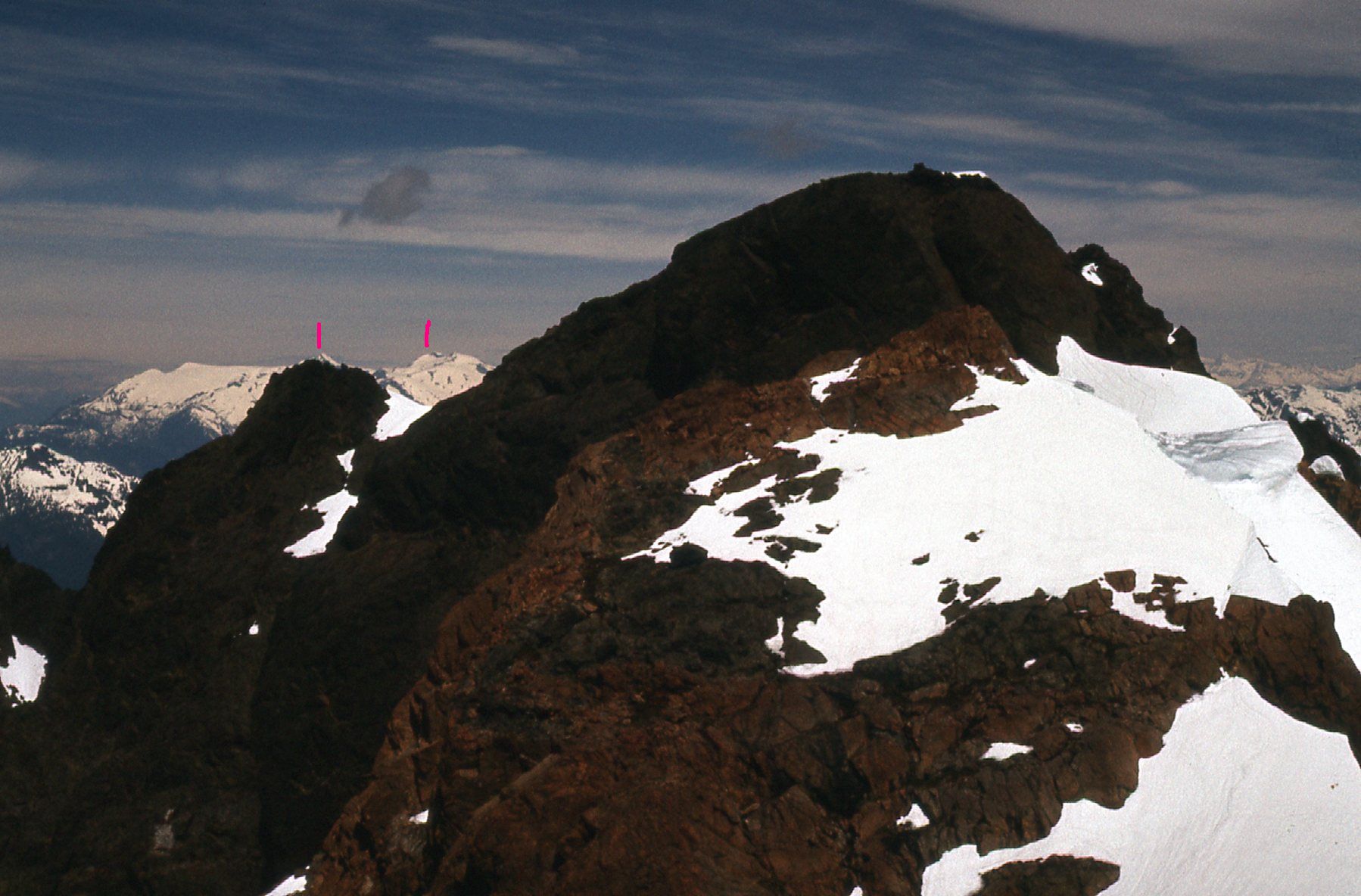
The above photo may be my favorite one of the trip. I’ve doctored it up a bit to illustrate a few things. Please click on it and zoom way in, because I want you to look on the left side where you see the two pink marks. Below the left-hand mark, just barely poking above the dark rock, can be seen the summit of Mount Breakenridge, elevation 7,825 feet. I had completed a solo north-south traverse of it on August 9th, 1975. And out to the left of it was the massive Breakenridge Icefield, which Brian Rundle and I would go on to explore on July 27th of 1977. Look at the right-hand pink line. That, My Friends, is what is now known as Traverse Peak, elevation 8,000 feet. Brian and I completed its first ascent on July 30th of 1977. Amazing, spectacular country, 22 miles away to the north.
The next photo is a look out to the west – it covers a wide swath of horizon. Again, I’ve taken the liberty of placing pink lines above some of the peaks to identify them for you, so let’s dive in. The left-most line sits above Mt. Robie Reid. Moving to the right, we come to Mount Kranrod, then the double summit of Mount Judge Howay. The fourth one over is the Mount Clarke – Viennese Peak group. Next is the broad white peak we called Peak 6800, but is now called Nursery Peak. Finally, the one farthest right is Grainger Peak. The distance between the 1st and 6th marks is 16 air miles.
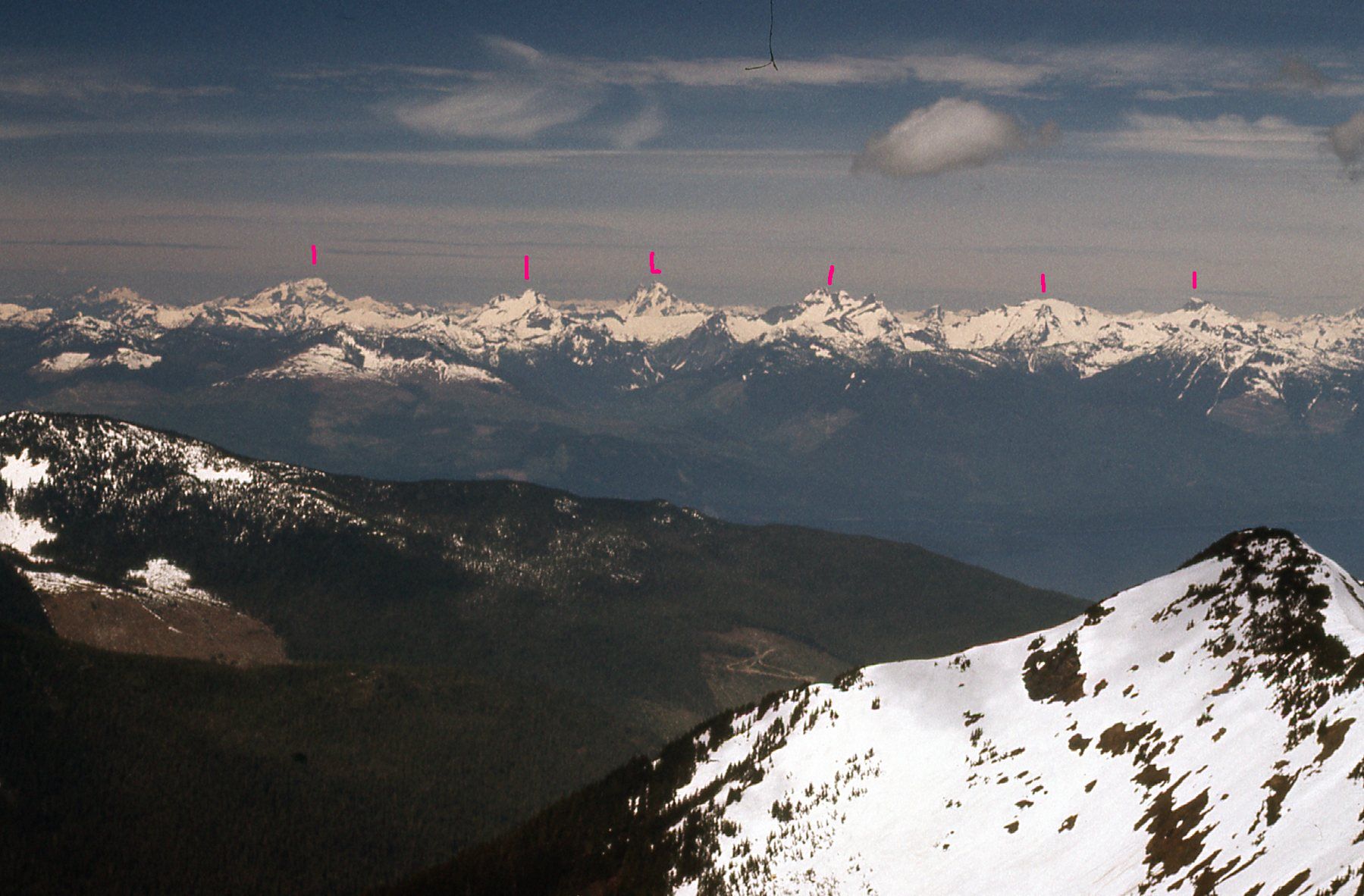
Looking west.
Well, it was all over but the shouting. Now, we just had to descend, and there was no reason to do it any other way than by the way we’d climbed up. Here’s a view looking down the south ridge of the peak.
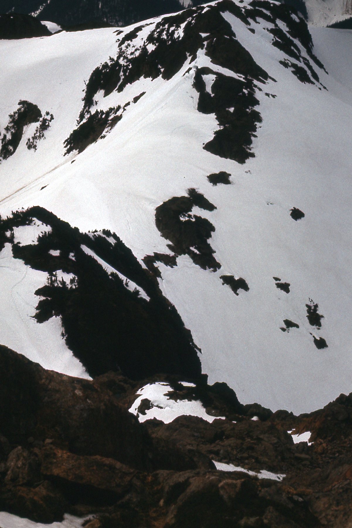
Looking down a bunch of Class 3 and a bit of Class 4.
And here’s a look back up what we had just downclimbed.
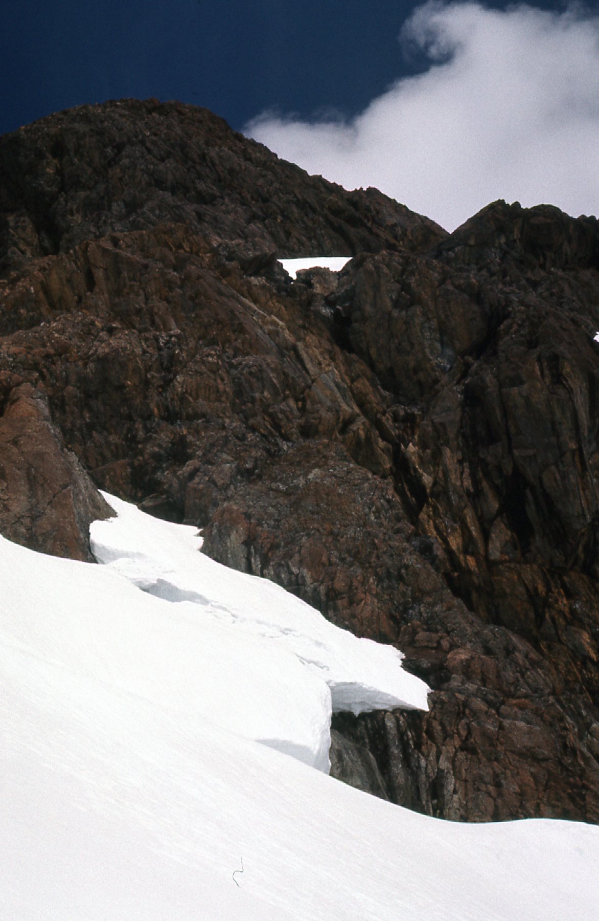
Some nice rock.
And one more view of some of the terrain below the peak.
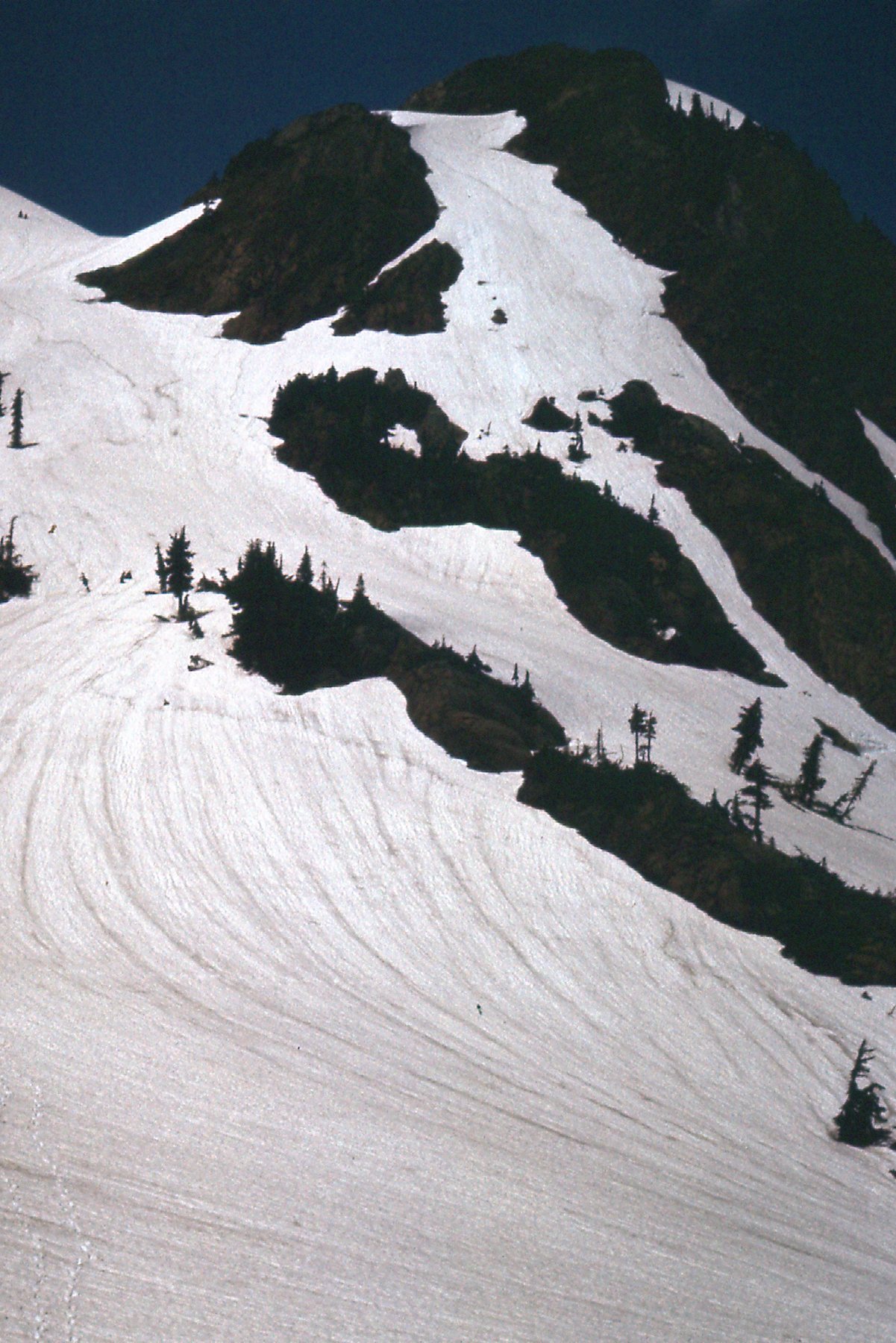
A look back.
We made the trek back along the ridge, then down to our vehicle without any problem. By the time we got back home, it was only 6:00 PM, but it was a tiring day. In retrospect, even though we didn’t make the high point, it was still an enjoyable climb in beautiful country.